Elevation of Old Palestine Road, Old Palestine Rd, Crofton, KY, USA
Location: United States > Kentucky > Christian County > Crofton >
Longitude: -87.54298
Latitude: 37.0105414
Elevation: 196m / 643feet
Barometric Pressure: 99KPa
Elevation Map:
Satellite Map:
Related Photos:

Clearing Skies

Keep Out

Forestry Road

Cabin in the Woods

Quiet Stream
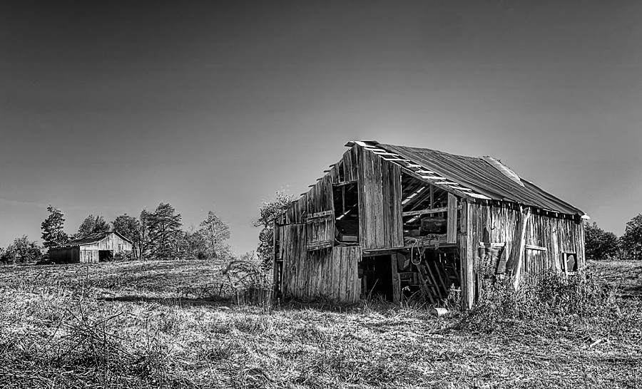
Still Standing

Car View

Cornelius Cemetery

Cornelius Cemetery

The view from my room. #research #retreat
North Kelly

Song Sparrow
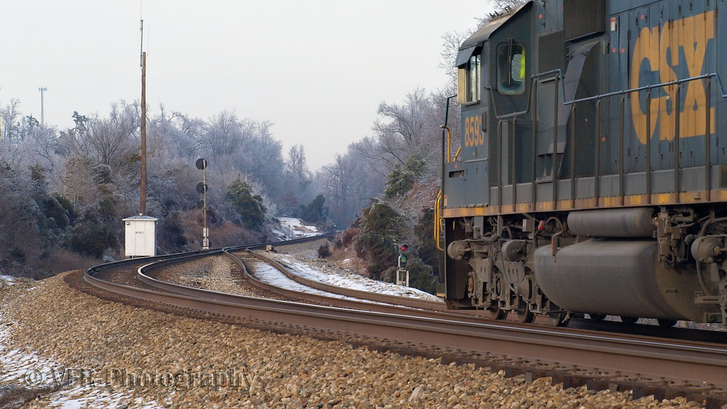
CSX Q647-18, Crofton,KY 1/19/2013
Topographic Map of Old Palestine Road, Old Palestine Rd, Crofton, KY, USA
Find elevation by address:

Places near Old Palestine Road, Old Palestine Rd, Crofton, KY, USA:
3045 Crofton Dawson Rd
18166 Old Palestine Rd
4086 Clarks Store Sinking Fork Rd
4086 Clarks Store Sinking Fork Rd
4086 Clarks Store Sinking Fork Rd
4086 Clarks Store Sinking Fork Rd
5973 S Old Madisonville St
4755 Harmony Grove Rd
Crofton
14975 N Madisonville St
Empire Road
14975 N Old Madisonville Rd
1768 Terry Coal Rd
N Madisonville St, Crofton, KY, USA
15776 N Old Madisonville Rd
15776 Old Madisonville Rd
6440 Old Madisonville Rd
6440 Old Madisonville Rd
6440 Old Madisonville Rd
4136 Us-41
Recent Searches:
- Elevation of Corso Fratelli Cairoli, 35, Macerata MC, Italy
- Elevation of Tallevast Rd, Sarasota, FL, USA
- Elevation of 4th St E, Sonoma, CA, USA
- Elevation of Black Hollow Rd, Pennsdale, PA, USA
- Elevation of Oakland Ave, Williamsport, PA, USA
- Elevation of Pedrógão Grande, Portugal
- Elevation of Klee Dr, Martinsburg, WV, USA
- Elevation of Via Roma, Pieranica CR, Italy
- Elevation of Tavkvetili Mountain, Georgia
- Elevation of Hartfords Bluff Cir, Mt Pleasant, SC, USA