Elevation of Old Palestine Rd, Crofton, KY, USA
Location: United States > Kentucky > Christian County > Crofton >
Longitude: -87.532308
Latitude: 37.0482699
Elevation: 162m / 531feet
Barometric Pressure: 99KPa
Elevation Map:
Satellite Map:
Related Photos:

Cornelius Cemetery

Cornelius Cemetery
Clearing Skies
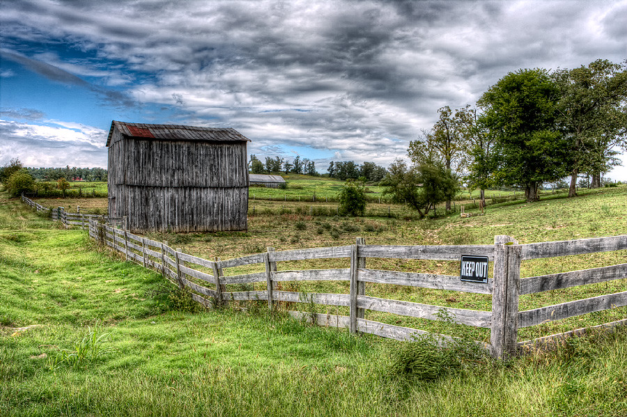
Keep Out

Forestry Road
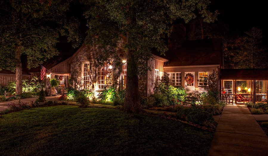
Cabin in the Woods
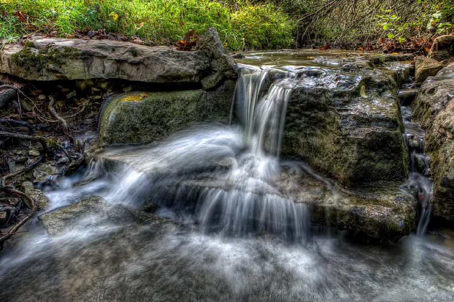
Quiet Stream
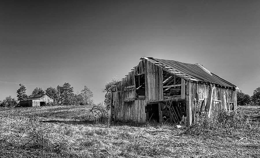
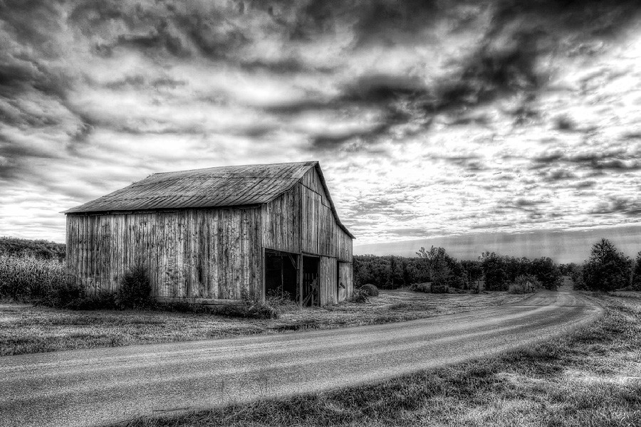
Still Standing

Car View
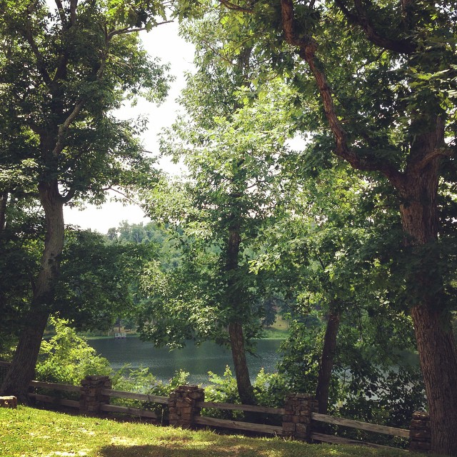
The view from my room. #research #retreat
North Kelly

Song Sparrow
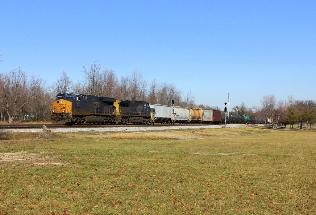
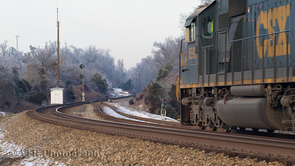
CSX Q647-18, Crofton,KY 1/19/2013
Topographic Map of Old Palestine Rd, Crofton, KY, USA
Find elevation by address:

Places near Old Palestine Rd, Crofton, KY, USA:
14975 N Madisonville St
Crofton
N Madisonville St, Crofton, KY, USA
15776 Old Madisonville Rd
15776 N Old Madisonville Rd
14975 N Old Madisonville Rd
5973 S Old Madisonville St
1550 Grapevine Rd
6440 Old Madisonville Rd
6440 Old Madisonville Rd
6440 Old Madisonville Rd
4136 Us-41
6550 Crofton-fruit Hill Rd
6603 Greenville Rd
1504-1502 Judge Chapel Rd
1500 Judge Chapel Rd
Judges Chapel Road
1392 Judge Chapel Rd
Crofton-Fruit Hill Rd, Crofton, KY, USA
11335 Greenville Rd
Recent Searches:
- Elevation of Corso Fratelli Cairoli, 35, Macerata MC, Italy
- Elevation of Tallevast Rd, Sarasota, FL, USA
- Elevation of 4th St E, Sonoma, CA, USA
- Elevation of Black Hollow Rd, Pennsdale, PA, USA
- Elevation of Oakland Ave, Williamsport, PA, USA
- Elevation of Pedrógão Grande, Portugal
- Elevation of Klee Dr, Martinsburg, WV, USA
- Elevation of Via Roma, Pieranica CR, Italy
- Elevation of Tavkvetili Mountain, Georgia
- Elevation of Hartfords Bluff Cir, Mt Pleasant, SC, USA