Elevation of Old Mooresville Hwy, Lewisburg, TN, USA

Location: United States > Tennessee > Marshall County > Lewisburg >

Longitude: -86.841601

Latitude: 35.4517315

Elevation: 243m / 797feet

Barometric Pressure: 98KPa

Elevation Map:

elevation map of Old Mooresville Hwy, Lewisburg, TN, USA

Satellite Map:

Satellite map of Old Mooresville Hwy, Lewisburg, TN, USA

Related Photos:

Cheeks Bend Bluff View Trail
sky history clouds rural photography photo nikon tennessee engineering bluesky pic oldbuildings historic clocktower photograph americana courthouse thesouth hdr 1929 lewisburg ruralamerica whiteclouds engineeringasart beautifulsky courtsquare historicbuilding 2015 smalltownamerica marshallcounty photomatix deepbluesky marshallcountycourthouse bracketed skyabove middletennessee ruraltennessee hdrphotomatix ofandbyengineers ruralview fadingamerica hdrimaging uscountycourthouses vanishingamerica lewisburgtennessee oldandbeautiful ibeauty historyisallaroundus hdraddicted lewisburgtn allskyandclouds tennesseephotographer structuresofthesouth southernphotography screamofthephotographer hdrvillage engineeringisart jlrphotography photographyforgod worldhdr tennesseehdr d7200 hdrrighthererightnow engineerswithcameras hdrworlds jlramsaurphotography nikond7200 tennesseecountycourthouses americanrelics it’saretroworldafterall marshallcountytncourthouse
Marshall County, TN Courthouse - Lewisburg, TN
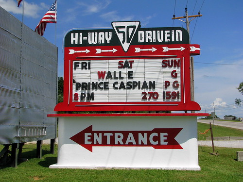
sign highway neon tn tennessee entrance drivein 50 hiway lewisburg driveintheater marshallcounty roadgeek us431 roadfan bmok tn50 bmok2
Hi-Way 50 Drive in Alternate
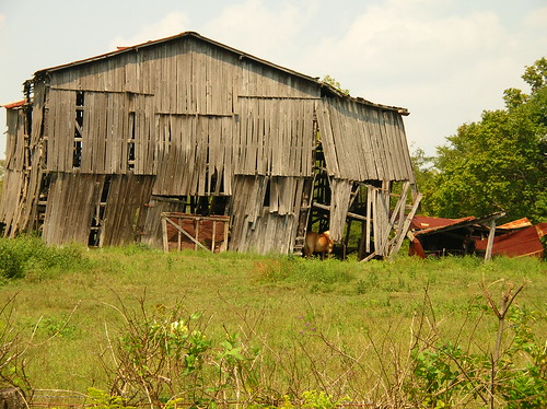
old barn rural geotagged drive countryside ride tennessee thesouth mapped fallingdown september2006 autumn2006
unsteady but shady
Cheeks Bend Bluff View Trail
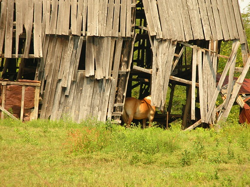
wood trees horse barn rural geotagged drive countryside ride tennessee thesouth mapped fallingdown september2006 autumn2006
in the shade
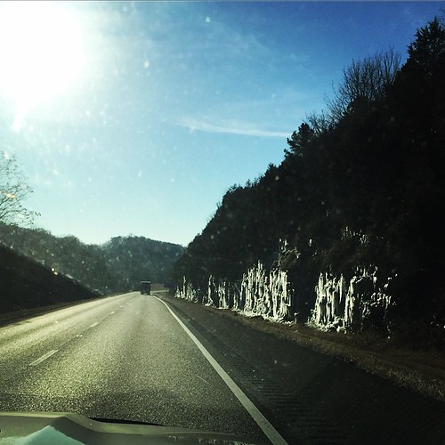
square lofi squareformat iphoneography instagramapp uploaded:by=instagram foursquare:venue=4e1a4a47483b5cfa49dcc499
Bright sun and ice on the cliffs. Brrrrrr. Trouble is, I don't think it's much warmer in Louisiana either......
park berlin rock tennessee canonpowershotsx120is
BERLIN ROCK PARK
fog dawn tennessee
Morning Fog
uploaded:by=flickrmobile flickriosapp:filter=chameleon chameleonfilter
Jasper's got his stick! No dog is happier.
square nashville squareformat iphoneography instagramapp uploaded:by=instagram foursquare:venue=4d59a66824466ea8f1a2799f
Rainbow over Lewisburg
If you take the time to explore
square squareformat iphoneography instagramapp uploaded:by=instagram
Of the 788 pictures I have taken of Hannah this week for her 1st Birthday, this is one of my favorites. And it was completely unplanned. After one of our "official" shoots, @therealjohntucker took her for her first barefoot walk in the grass. ❤️:he
=)
marshallcountytennessee
NEW LAKE
marshallcountytennessee
NEW LAKE