Elevation of Old Fort Peak, Bighorn No. 8, AB T0L, Canada
Location: Canada > Alberta > Division No. 15 > Bighorn No. 8 >
Longitude: -115.16277
Latitude: 51.1244444
Elevation: 2304m / 7559feet
Barometric Pressure: 77KPa
Elevation Map:
Satellite Map:
Related Photos:
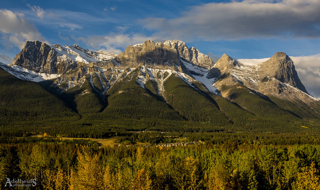
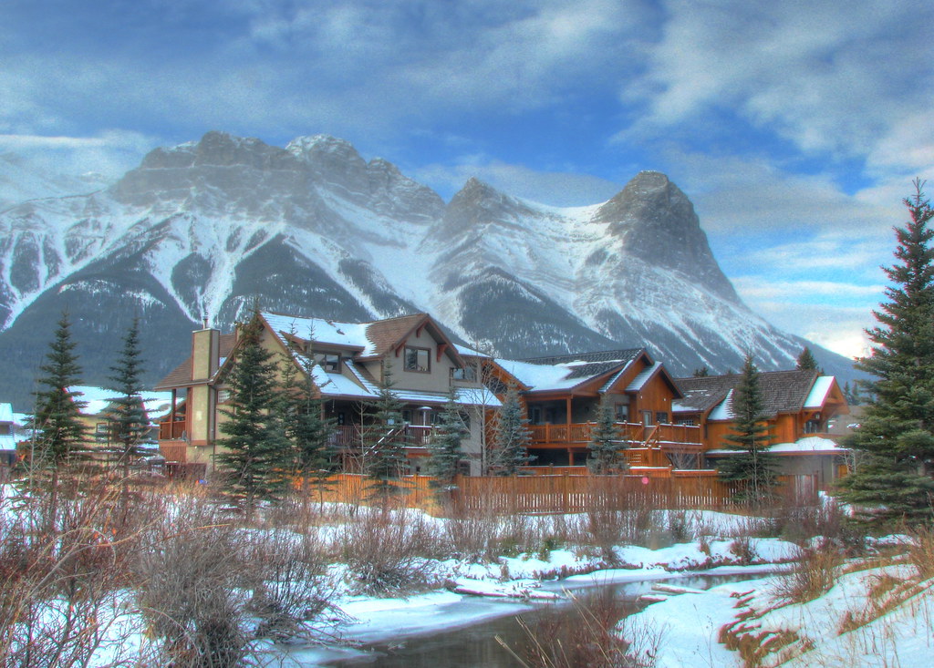
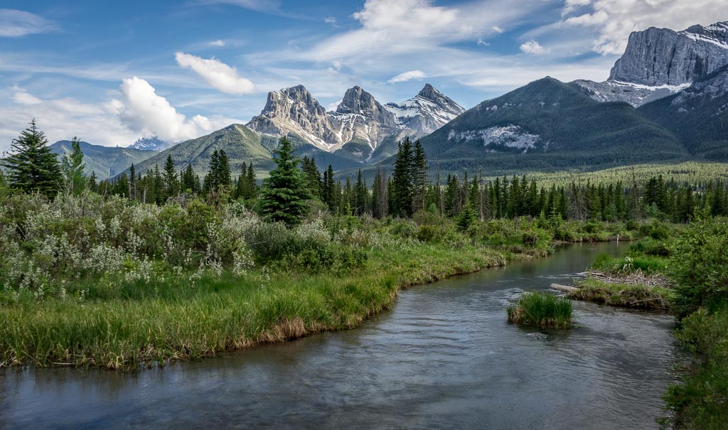
Canmore View
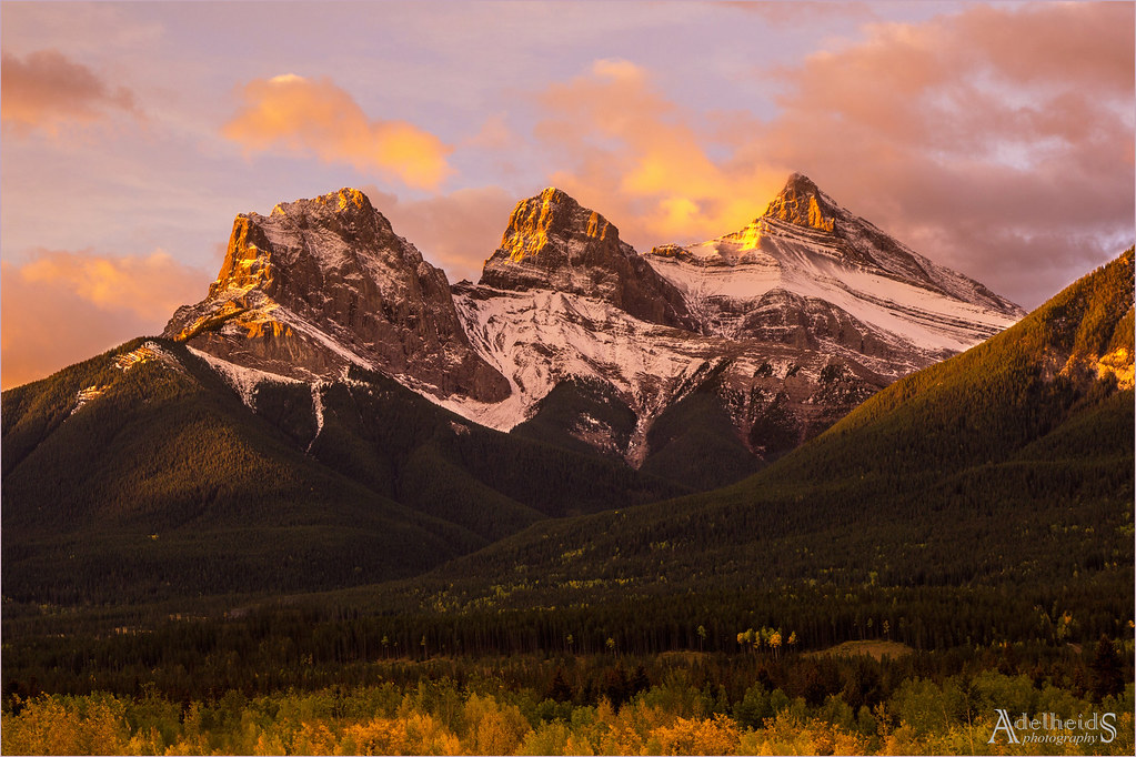
Three Sister Sunrise
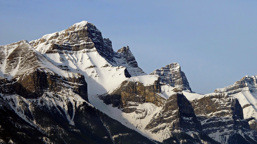
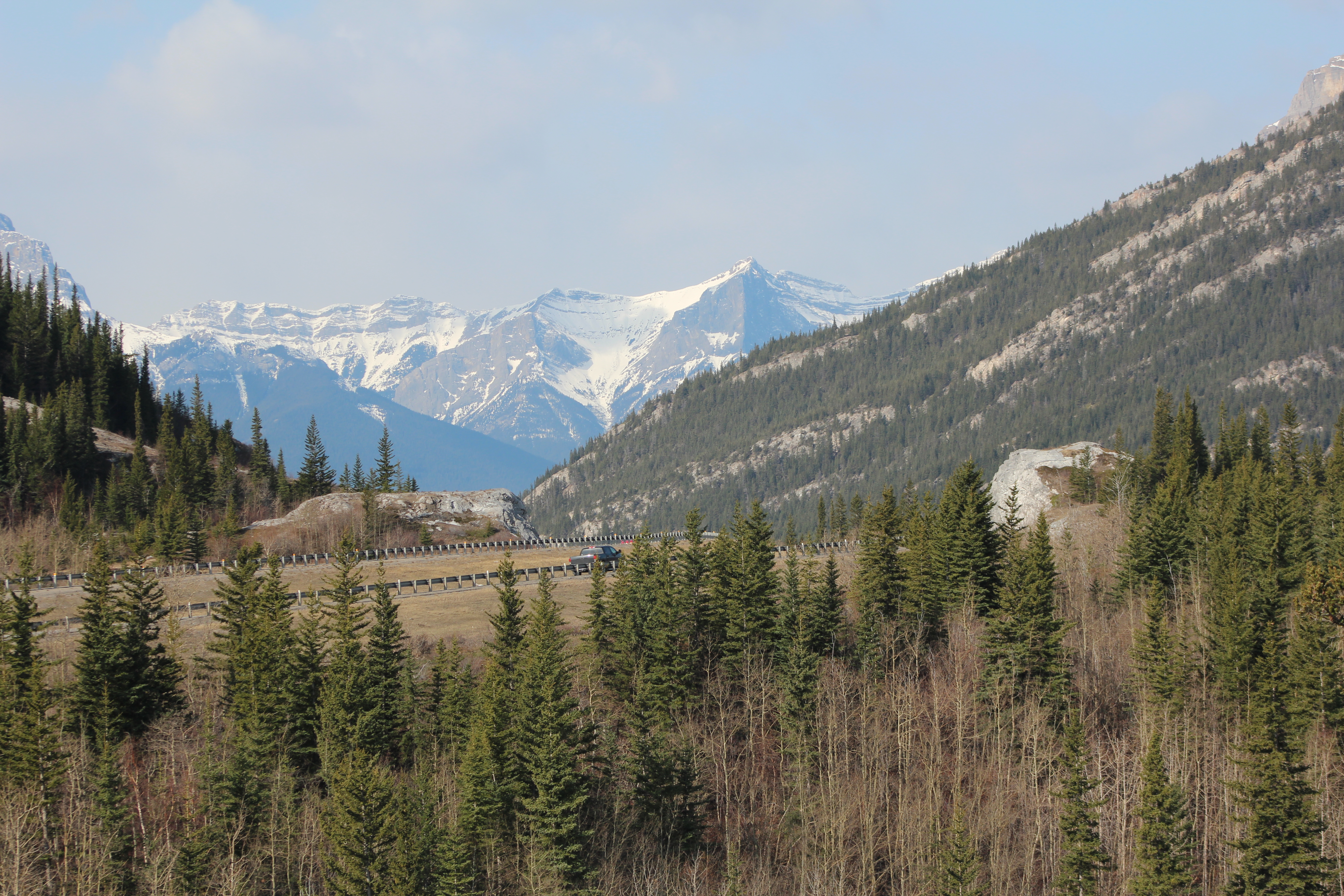
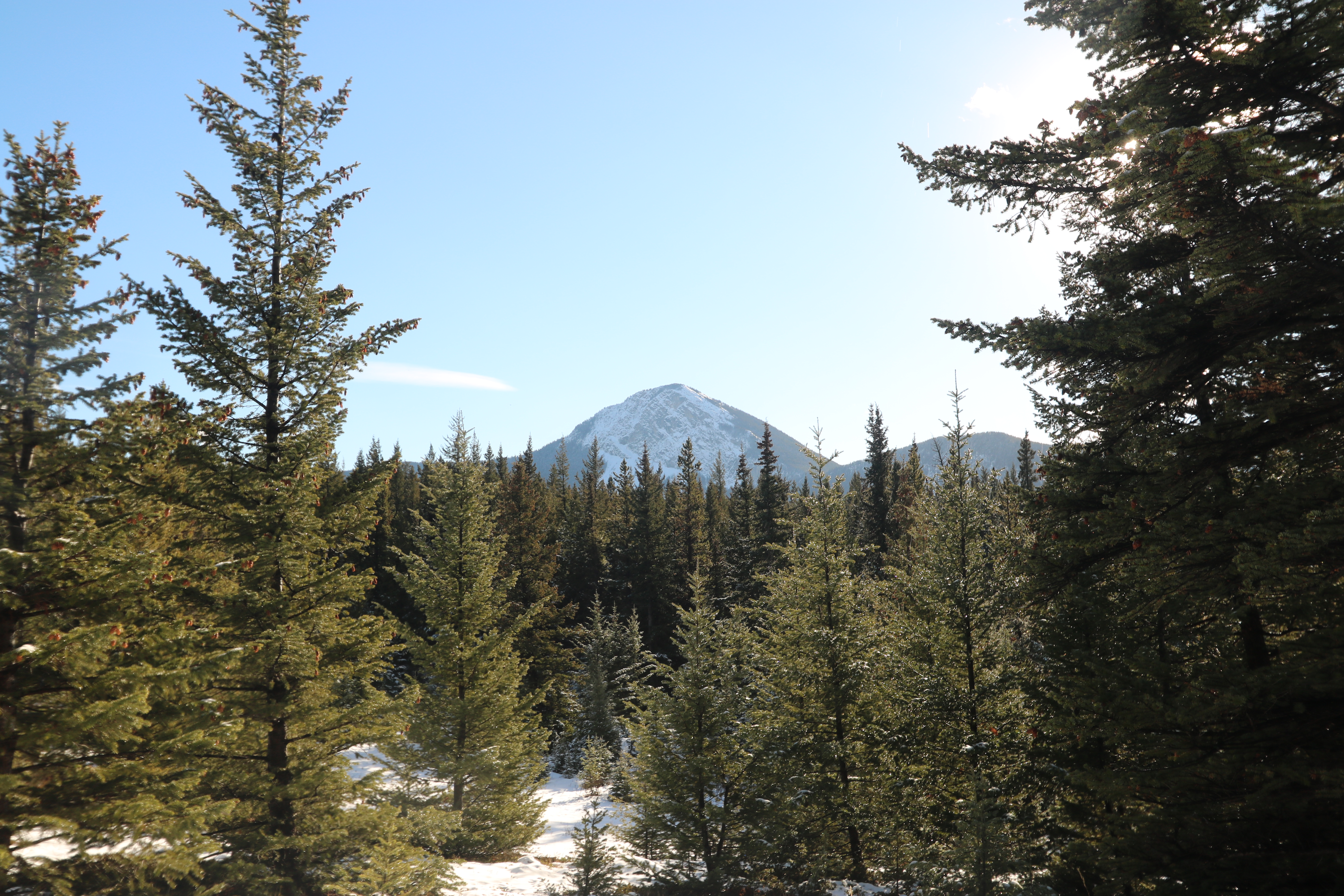
Canadian Rocky Mountain
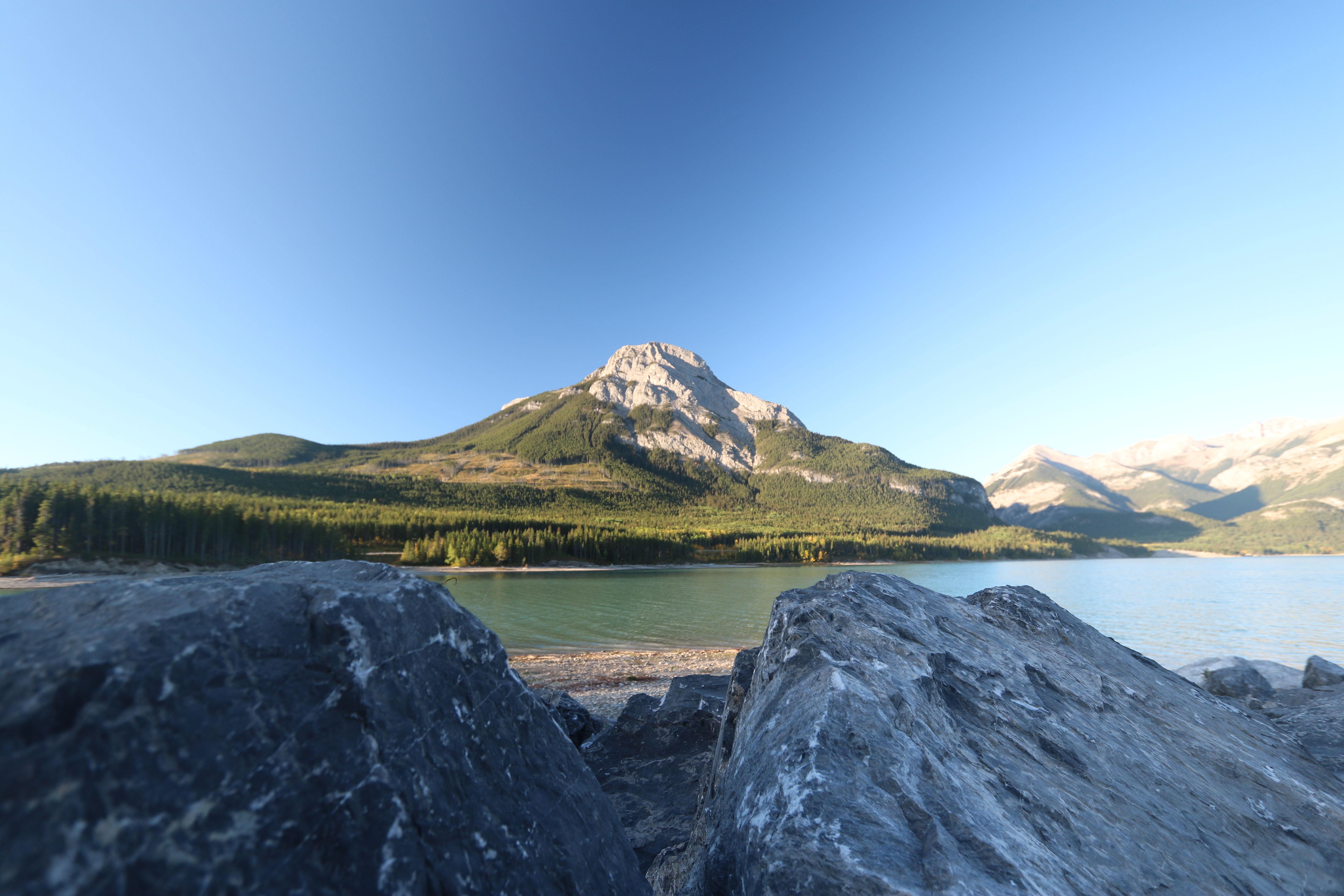
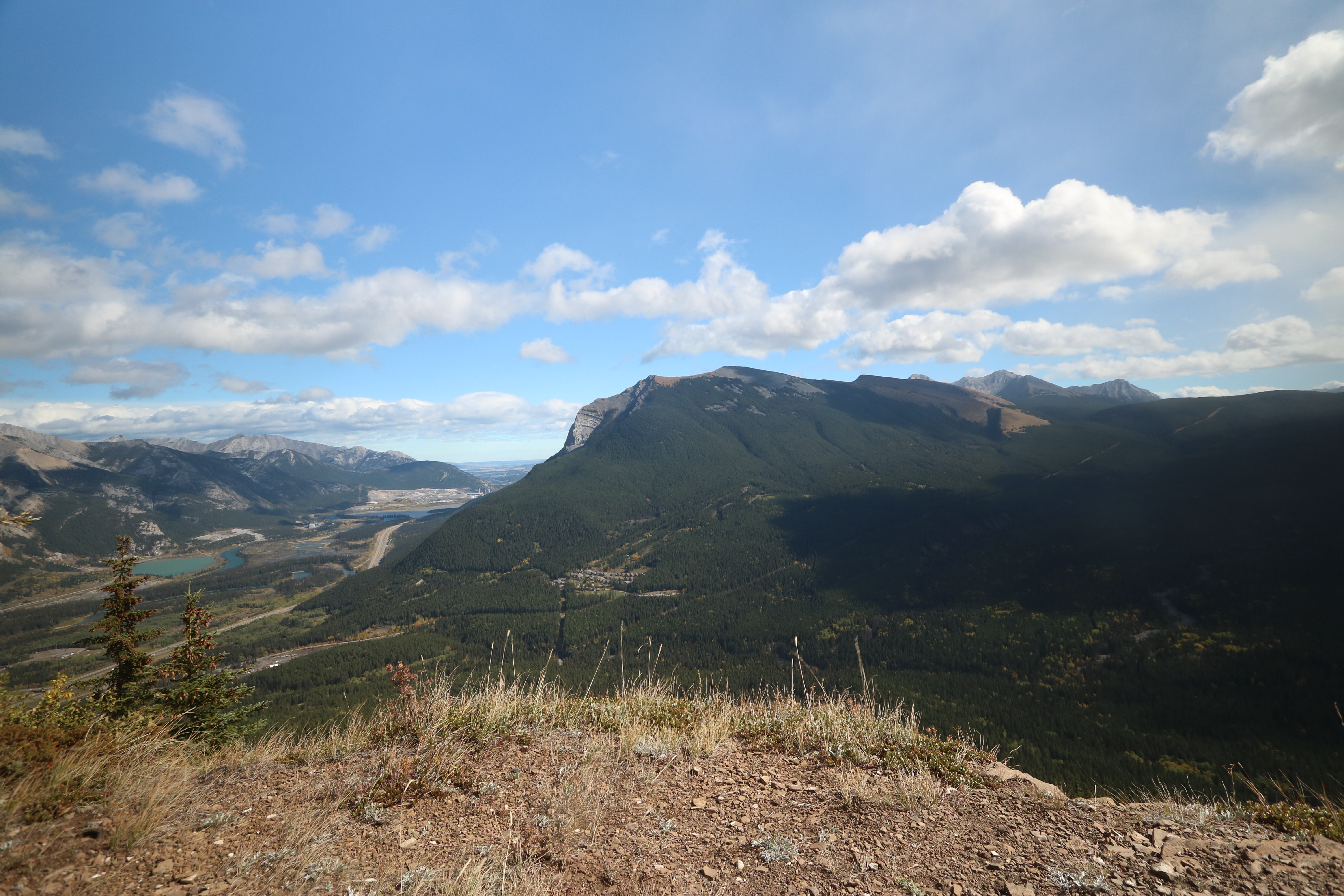
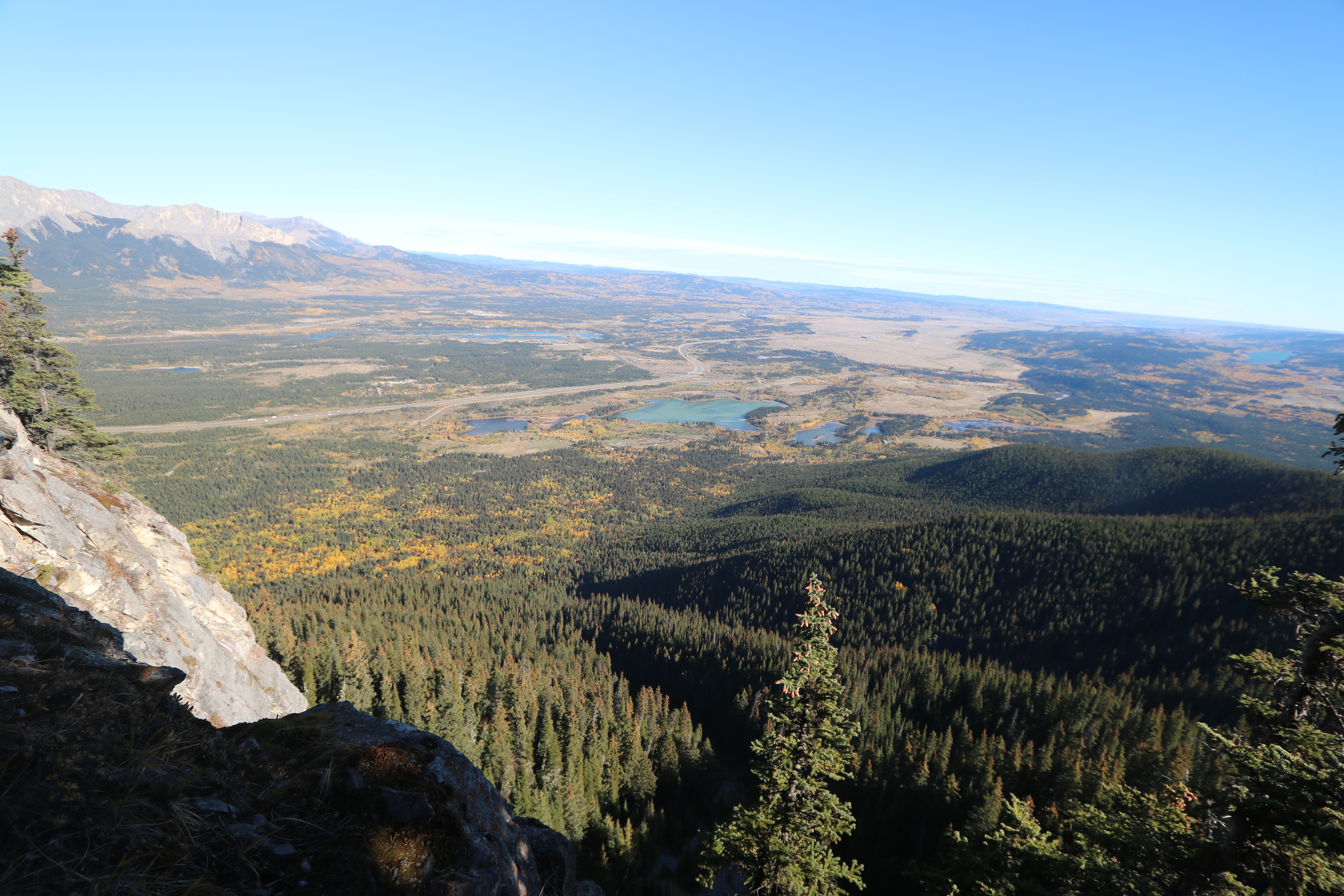
Barrier lake Prairie view trail hike sept 12th 2015
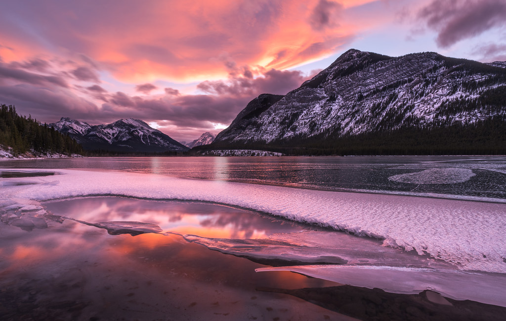
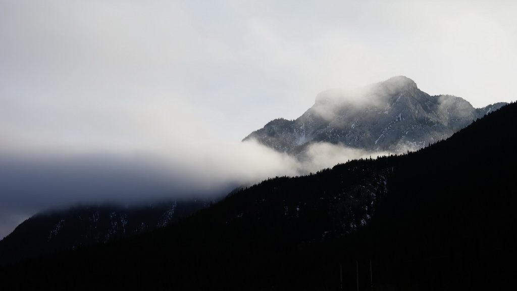
Frozen Sunset Reflections
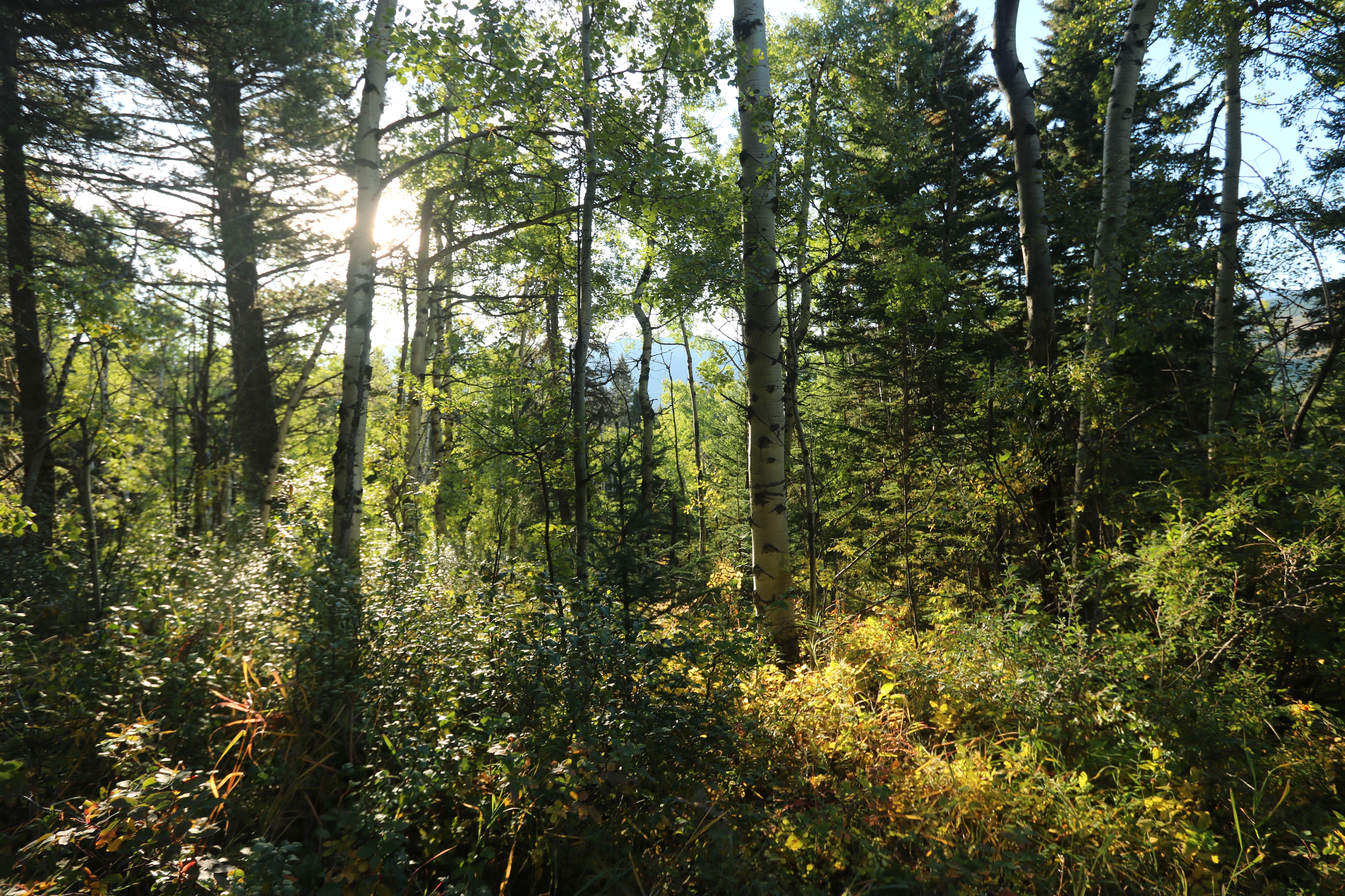
Morning Coffee

Lofty dreams
Wind ridge hike Kananaskis Alberta Canada
Barrier lake Prairie view trail hike sept 12th 2015
Fire lookout Bow valley Alberta Canada
Morning Sun - Banff National Park
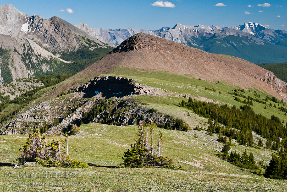
Stroll On The Ridge
Barrier lake Prairie view trail hike sept 12th 2015
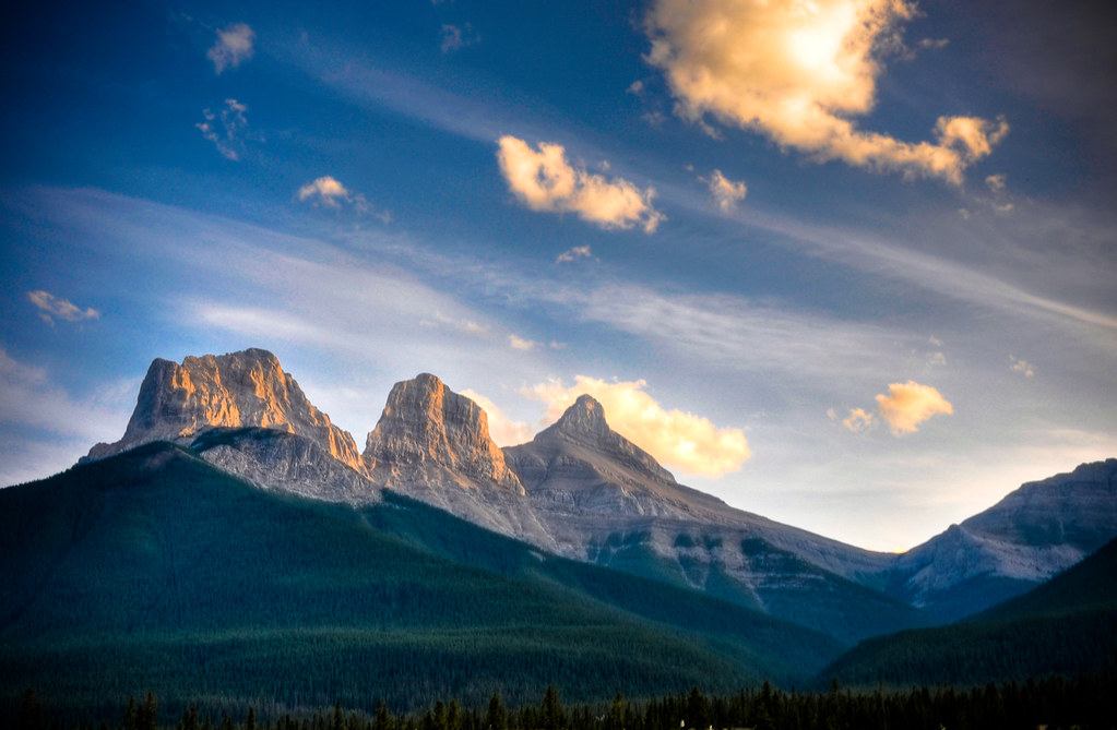
The Three Sisters
Heading cross country to the rock with a view, I can see it there on the right but there is quite the drop between me and my goal.
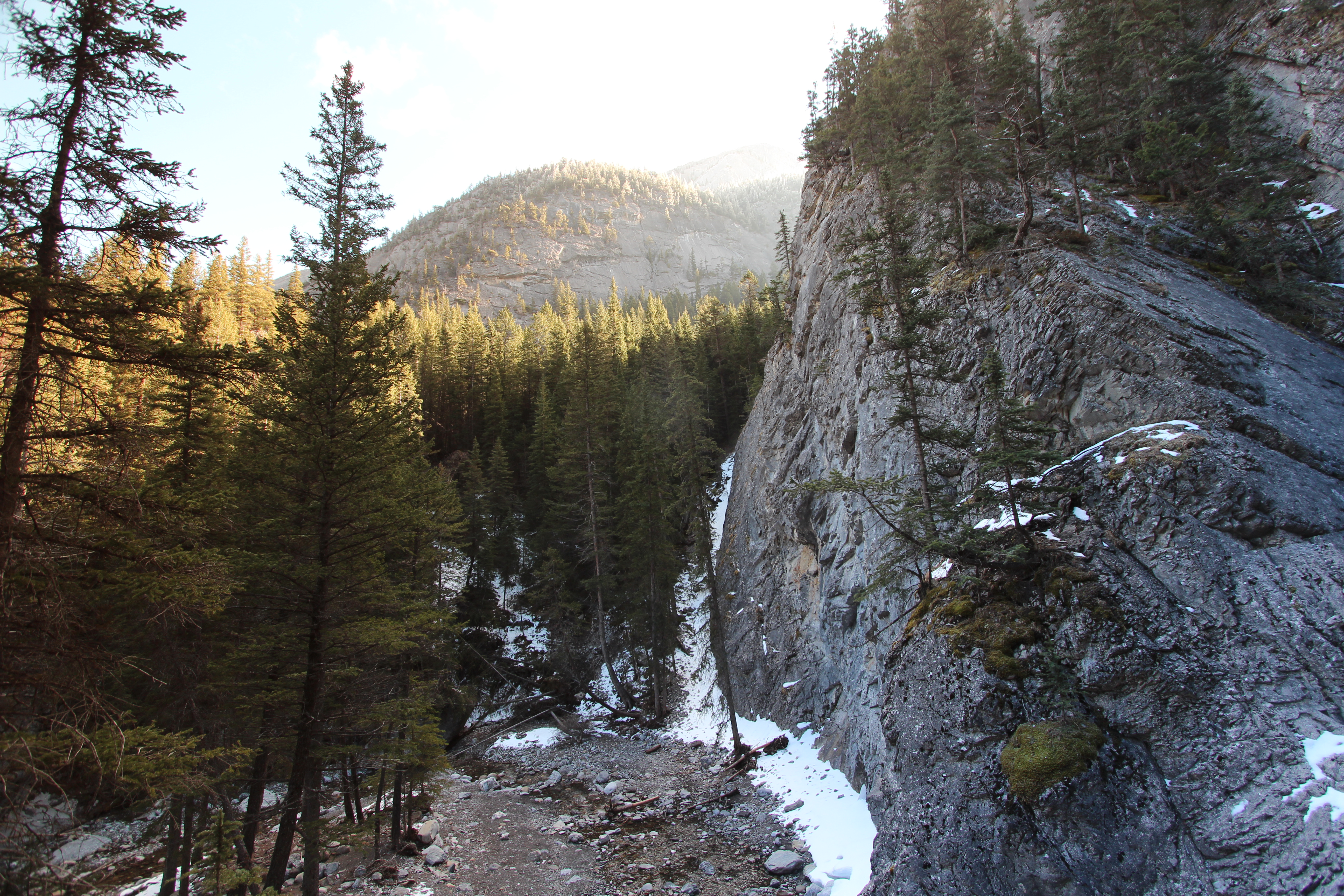
Heart creek trail trying to get up the rocks to see if I can get a view of the waterfall, sadly it's just out of reach round the corner

Wind ridge Hike almost at the top
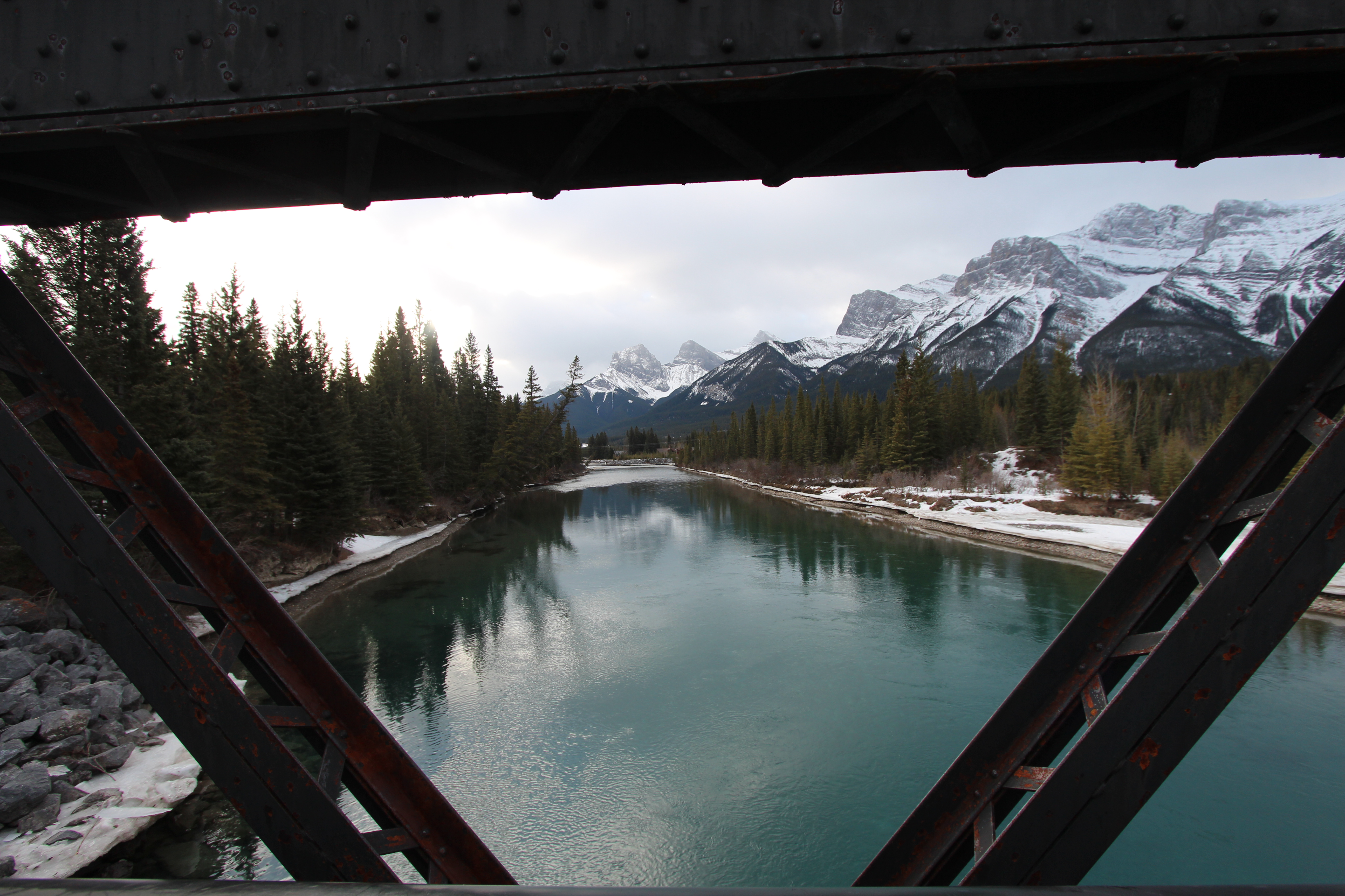
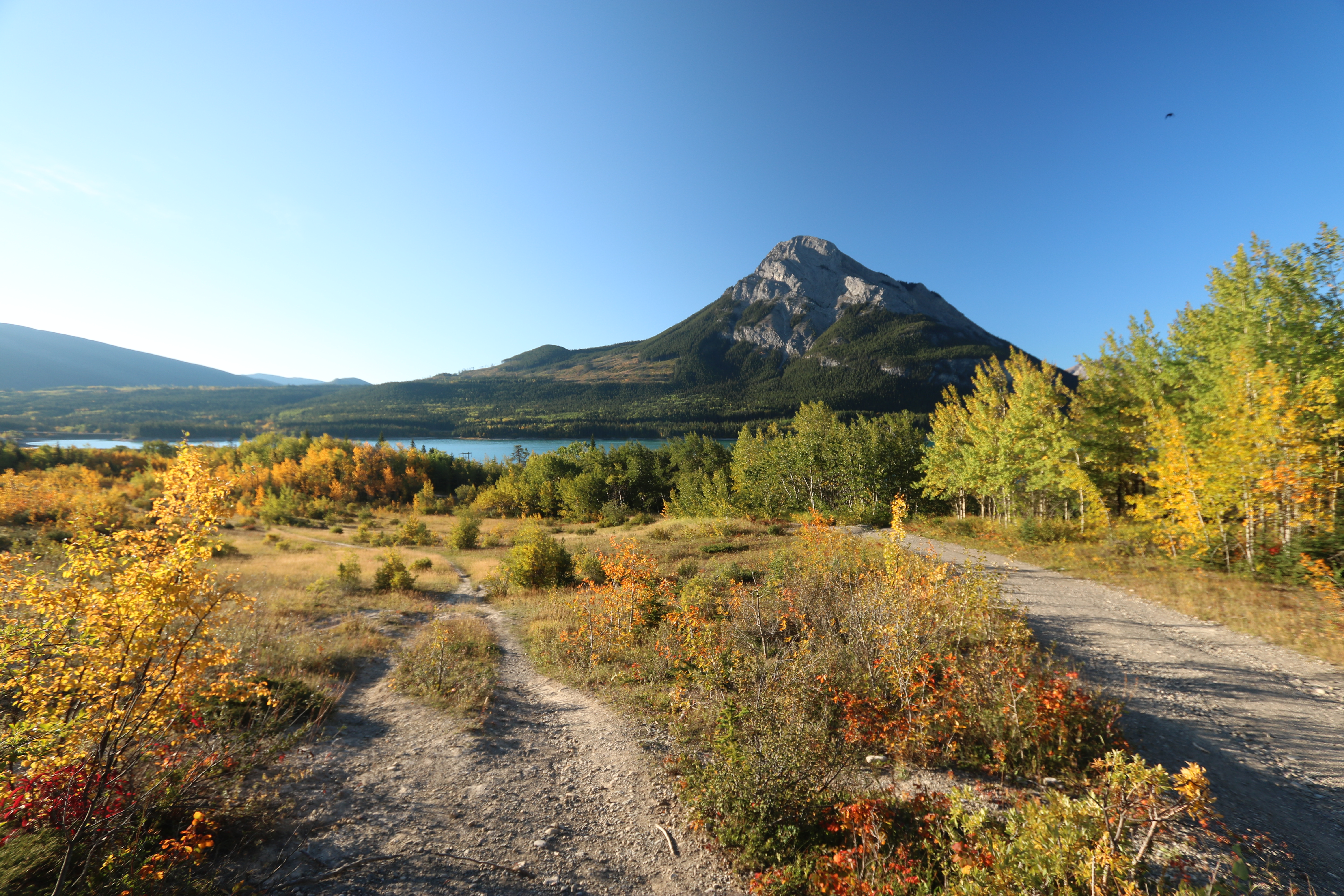
A bridge with a view

Kananaskis Sky
Bow valley park on a sunny day.
Trailer Park View
Topographic Map of Old Fort Peak, Bighorn No. 8, AB T0L, Canada
Find elevation by address:

Places near Old Fort Peak, Bighorn No. 8, AB T0L, Canada:
Old Goat Mountain
Loder Peak
Mount Yamnuska
Kananaskis
Mount Romulus Backcountry Campground
Mount Fable
Heart Mountain
Grant Macewan Peak
Mount Mcgillivray
AB-1X, Kananaskis, AB T0L, Canada
Pigeon Mountain
Grotto Mountain
Division No. 15
Skogan Peak
Dead Man's Flats
Mount Lorette
Charles Stewart Se2
Mount Baldy
Windtower
Recent Searches:
- Elevation of Corso Fratelli Cairoli, 35, Macerata MC, Italy
- Elevation of Tallevast Rd, Sarasota, FL, USA
- Elevation of 4th St E, Sonoma, CA, USA
- Elevation of Black Hollow Rd, Pennsdale, PA, USA
- Elevation of Oakland Ave, Williamsport, PA, USA
- Elevation of Pedrógão Grande, Portugal
- Elevation of Klee Dr, Martinsburg, WV, USA
- Elevation of Via Roma, Pieranica CR, Italy
- Elevation of Tavkvetili Mountain, Georgia
- Elevation of Hartfords Bluff Cir, Mt Pleasant, SC, USA