Elevation of Mount McGillivray, Kananaskis, AB T0L, Canada

Location: Canada > Alberta > Division No. 15 > Bighorn No. 8 >

Longitude: -115.165

Latitude: 51.0199999

Elevation: 2341m / 7680feet

Barometric Pressure: 76KPa

Elevation Map:

elevation map of Mount McGillivray, Kananaskis, AB T0L, Canada

Satellite Map:

Satellite map of Mount McGillivray, Kananaskis, AB T0L, Canada

Related Photos:

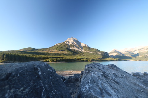
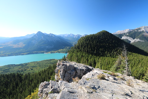
lake view hike trail barrier prairie 12th sept 2015
Barrier lake Prairie view trail hike sept 12th 2015
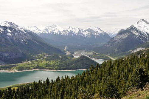
canada mountains landscape kananaskis lac alberta paysage montagnes sapins
The point of view (on Explore the 17.07.2012)
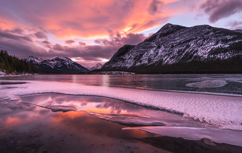
travel sunset lake canada reflection ice water horizontal clouds landscape kananaskis photography nikon visit explore alberta frozenlake banffnationalpark barrierlake visitcanada visitalberta
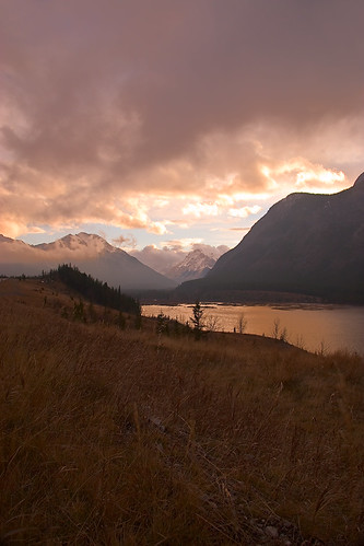
Frozen Sunset Reflections
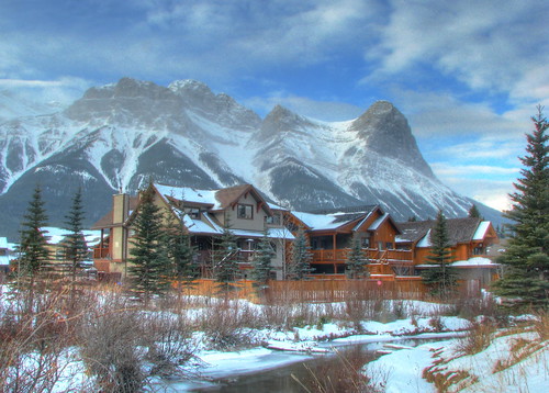
morning travel family winter vacation sky white house mountain holiday snow canada cold green home architecture clouds sisters creek canon river landscape rockies photography three photo stream image pics picture ab bluesky pic canadian photograph alberta threesisters chalet picturesque canmore familyhome allrightsreserved canadianrockies kanata holidayhouse cuthill s5is canons5is westrockbob bobcuthillphotographygmailcom bobcuthill bobcuthillphotography
Morning Coffee
morning sky canada mountains color colour clouds sunrise landscape kananaskis outside fly chopper glow quiet view outdoor aviation flight ab calm helicopter gordon alberta hunter canmore heli illuminate
Lofty dreams
lake view hike trail barrier prairie 12th sept 2015
Barrier lake Prairie view trail hike sept 12th 2015
canada fire lookout alberta valley bow
Fire lookout Bow valley Alberta Canada
winter light sky cloud mountain canada silhouette zeiss landscape view ab alberta translucent alpha za f28 nationalgeographic morningsun 2470mm variosonnar a99 sal2470z zeiss2470f28 variosonnart28222470
Morning Sun - Banff National Park
lake view hike trail barrier prairie 12th sept 2015
Barrier lake Prairie view trail hike sept 12th 2015
canada creek rockies heart trail alberta canmore
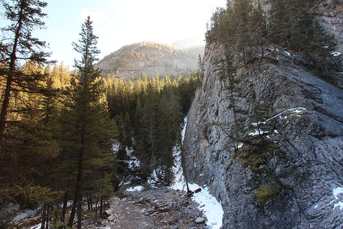
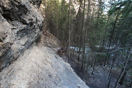
Heart creek trail trying to get up the rocks to see if I can get a view of the waterfall, sadly it's just out of reach round the corner
pink canada dead fly video wind hike ridge flats mans alberta learning floyd canmore
Wind ridge Hike almost at the top
landscape kananaskis alberta hdr mtallen
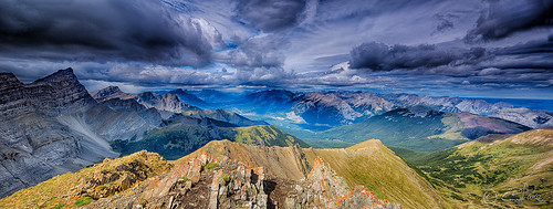
View from Mt. Allen
autumn sky mountain snow canada fall canon geotagged kananaskis canoneos20d glacier alberta 783 geo:lat=51093443 geo:lon=115063119 himmelkanada landschaftkanada herbstkanada
Kananaskis Sky
park canada alberta valley bow provincial
Bow valley park on a sunny day.
lake canada kananaskis view country hike trail alberta barrier prairie 12th sept 2015
Barrier lake Prairie view trail hike sept 12th 2015 Alberta Canada
canada june dead wind hike ridge flats mans alberta canmore 2015
Wind ridge hike Alberta Canada the correct way.
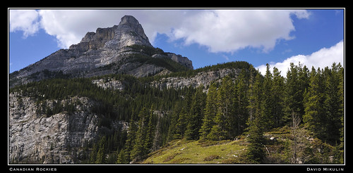
trees sky mountain canada green landscape geotagged peak alberta exshaw canadianrockies 5photosaday
Canadian Rockies
canada creek rockies heart trail alberta canmore
Heart creek trail trying to get up the rocks to see if I can get a view of the waterfall, sadly it's just out of reach round the corner
canada mountains nature landscape kananaskis olympus alberta limestone rockymountains canmore quarry lafarge exshaw firelookout lacdesarcs concreteplant kcountry concretecity barrierlookout olympus918mm olympusem5 prairieviewlookout
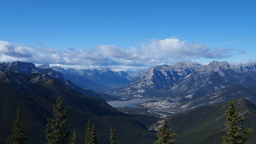
Lafarge Exshaw Plant from Barrier Fire Lookout
park mountain canada mountains kananaskis rockies hiking rocky canadian hike alberta rockymountains mountainview scramble scrambling kananaskiscountry canadianrockies kcountry altamons
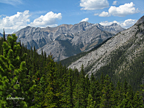
View West from Baldy Pass
mountain rockymountains nikkor75300mmf4556afzoom sonya7s sony0mmf00
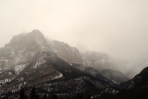
Mountain mist