Elevation of Old Dent Rd, Orofino, ID, USA
Location: United States > Idaho > Clearwater County > Orofino >
Longitude: -116.20007
Latitude: 46.623845
Elevation: 696m / 2283feet
Barometric Pressure: 93KPa
Elevation Map:
Satellite Map:
Related Photos:

Dworshak Dam
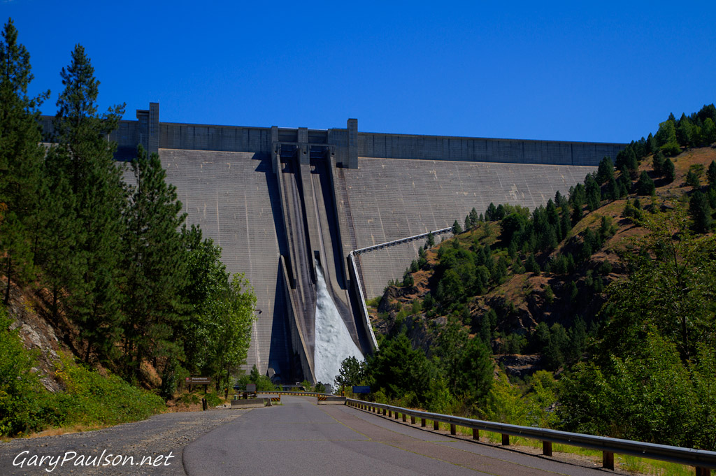
Dworshak Dam

Up the road

Engineer recruitment program--clearing timber
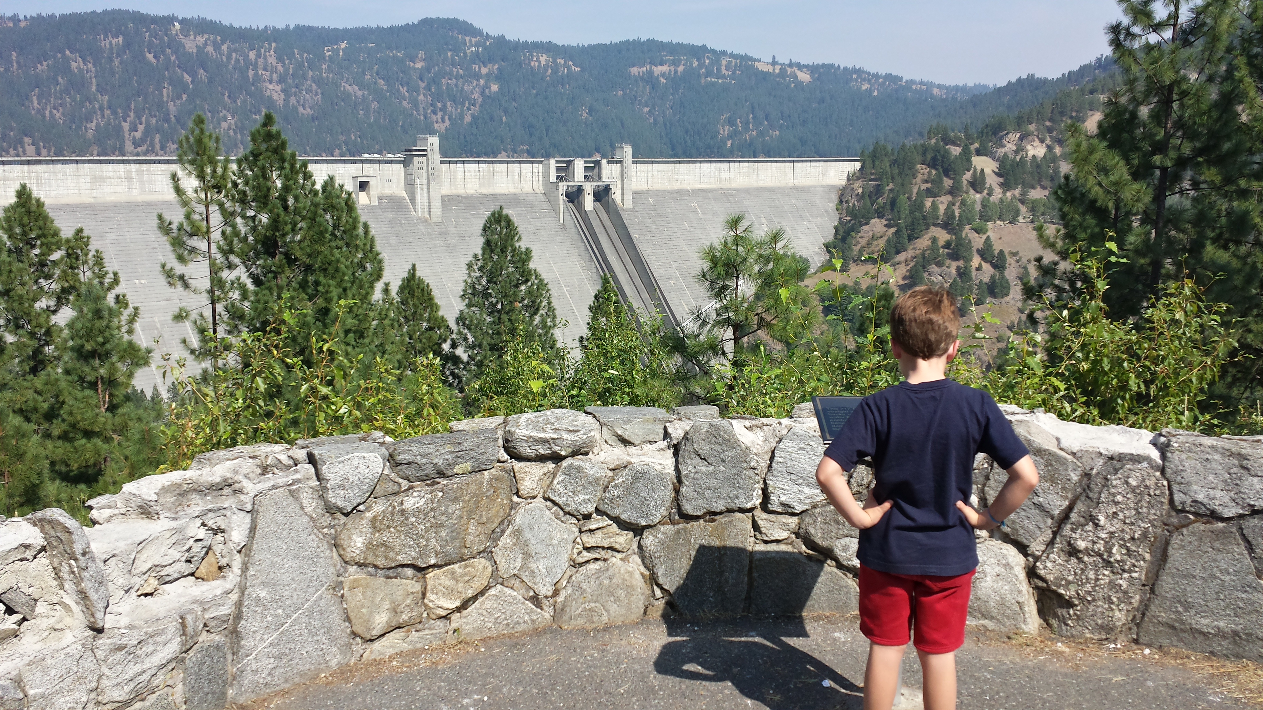
Dworshak Dam
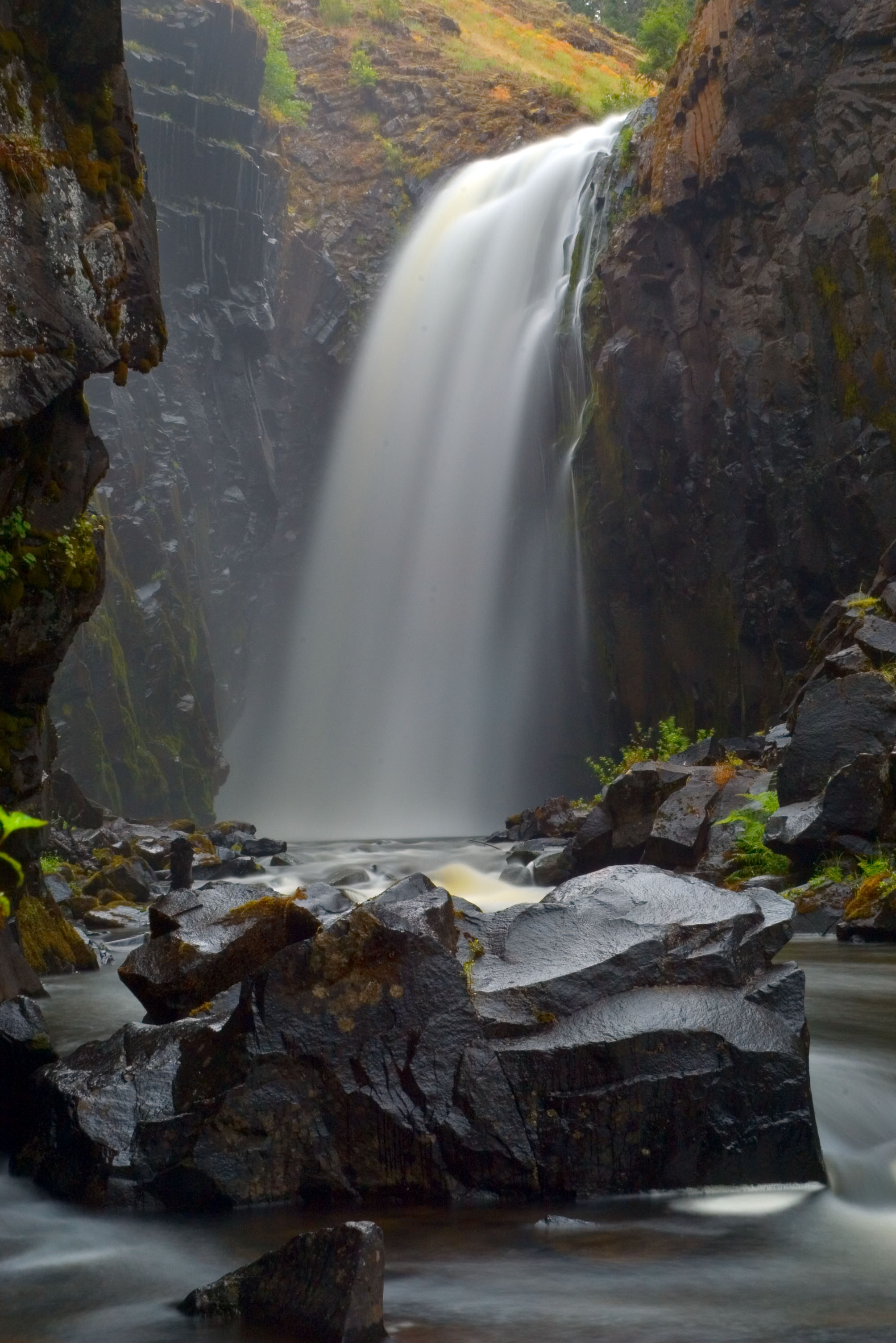
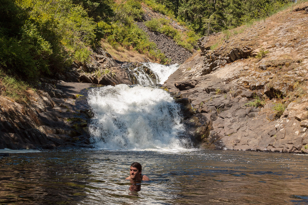
lower elk river falls
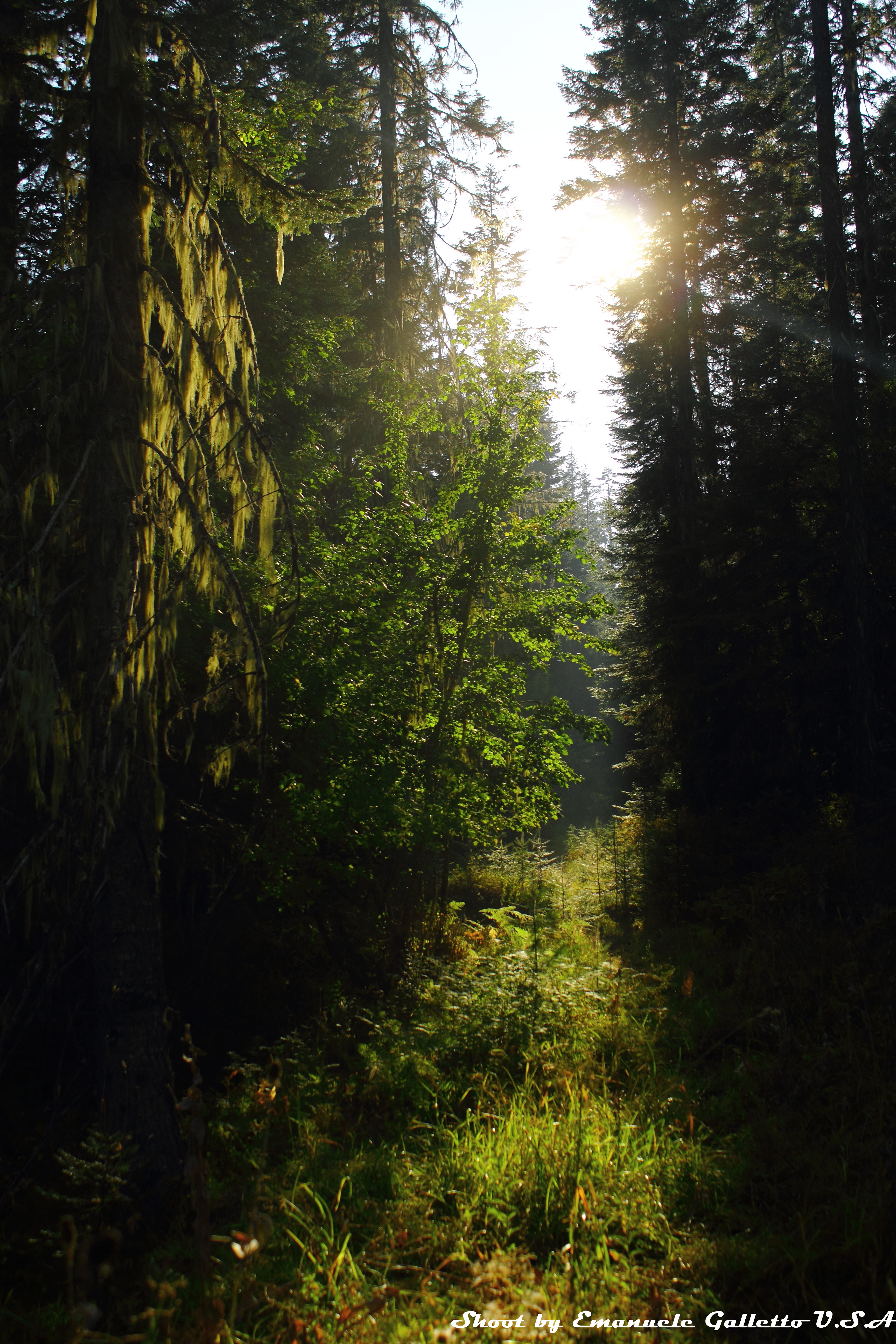
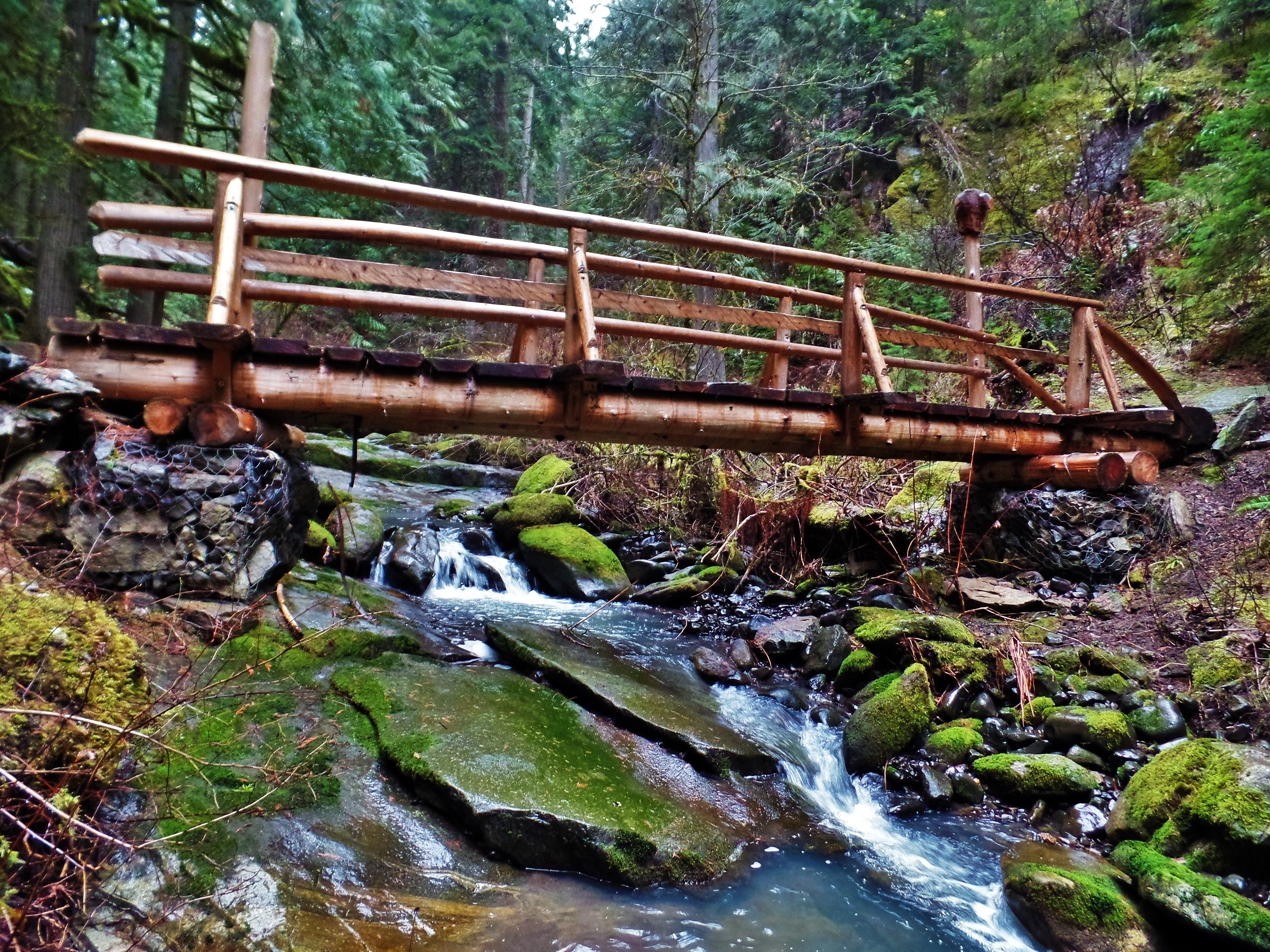
Woods II
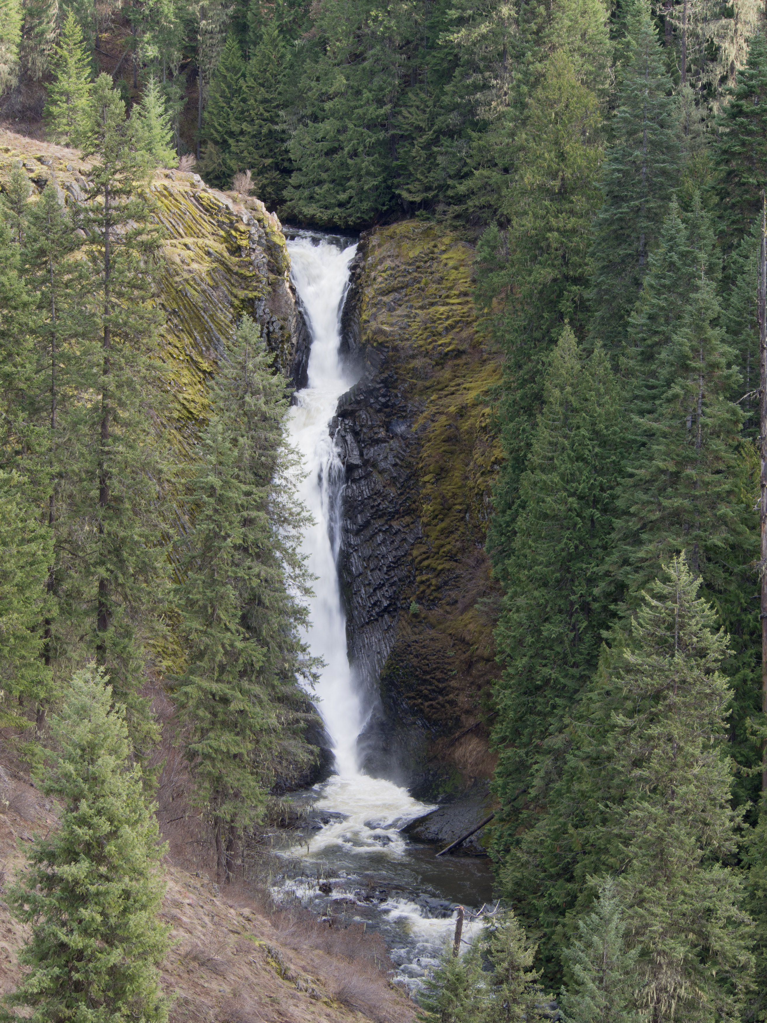
Elk Creek Falls: Upper

Dent Bridge

Dent Bridge
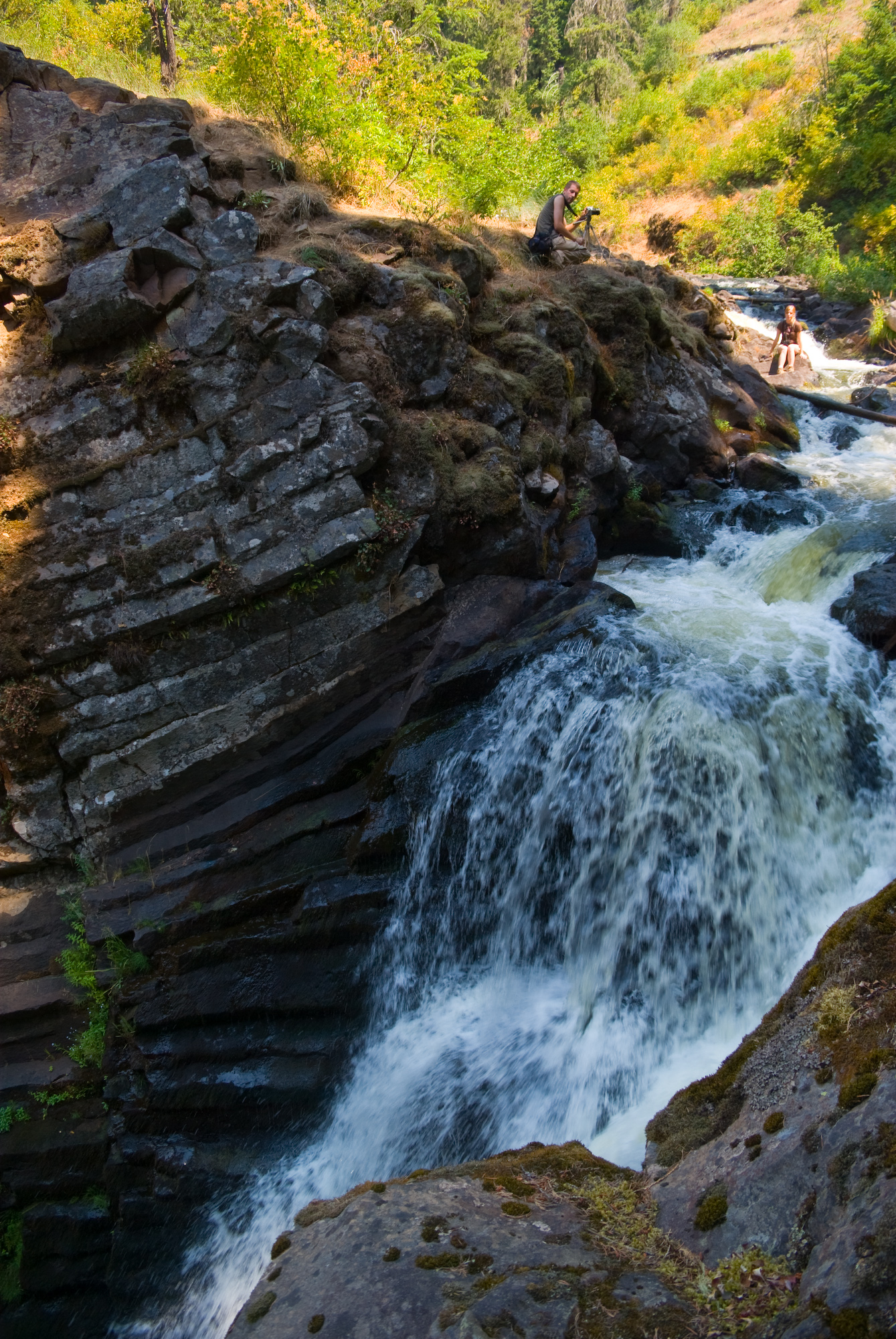
Over the edge
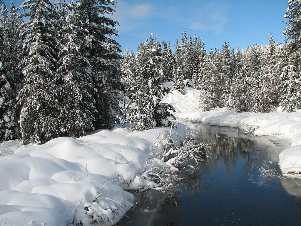
Sno Puft landscape

Jen at upper elk river falls
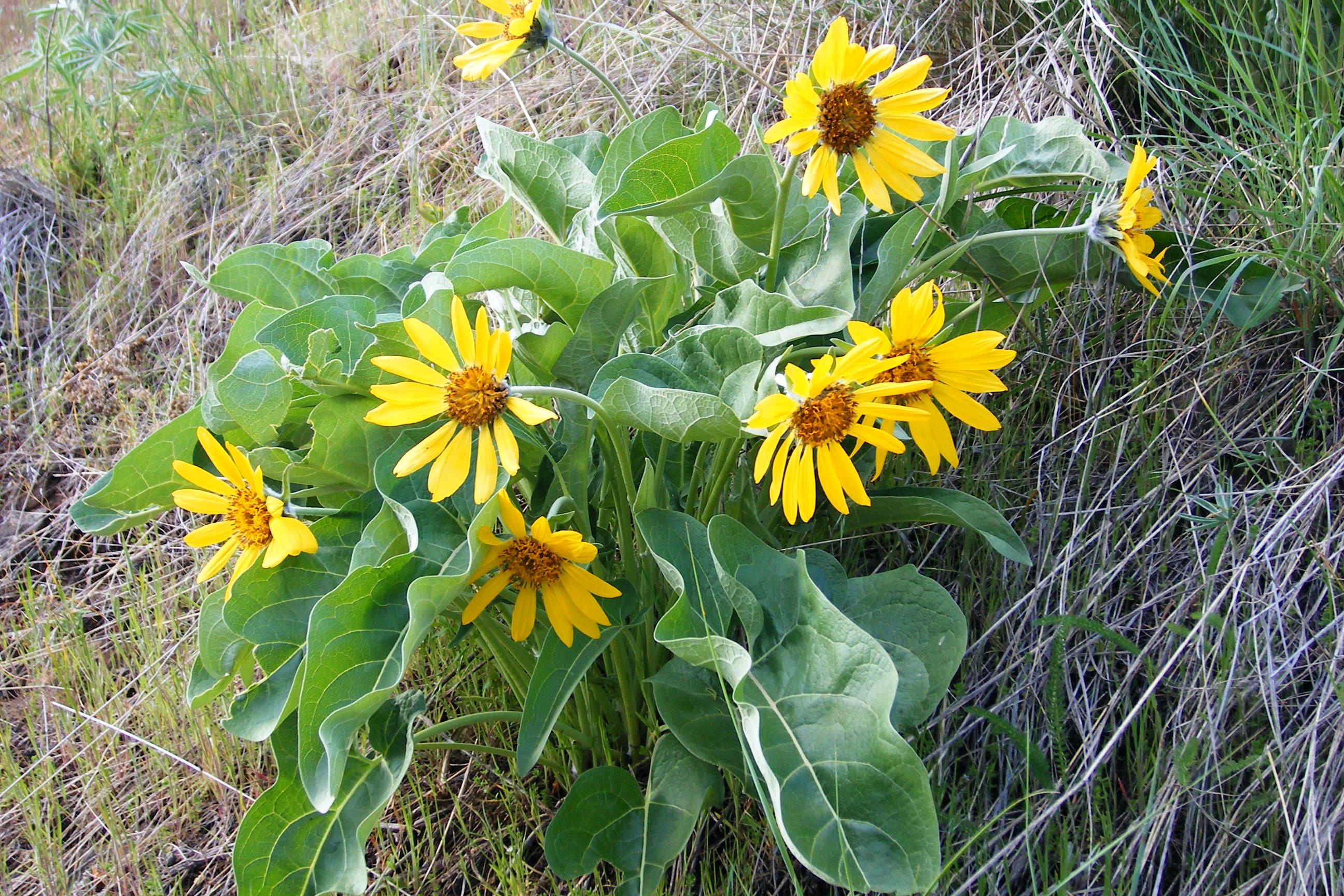
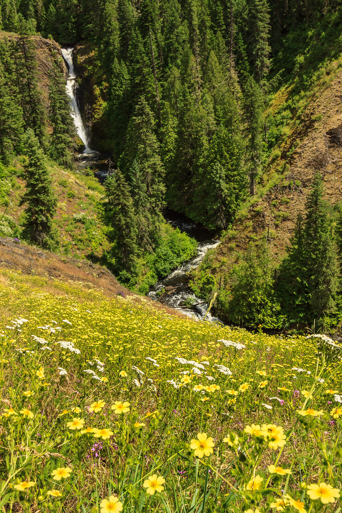
yellow flowers Idaho
Middle Falls
Lower Falls Redux
Dworshak State Park

Dworshak State Park
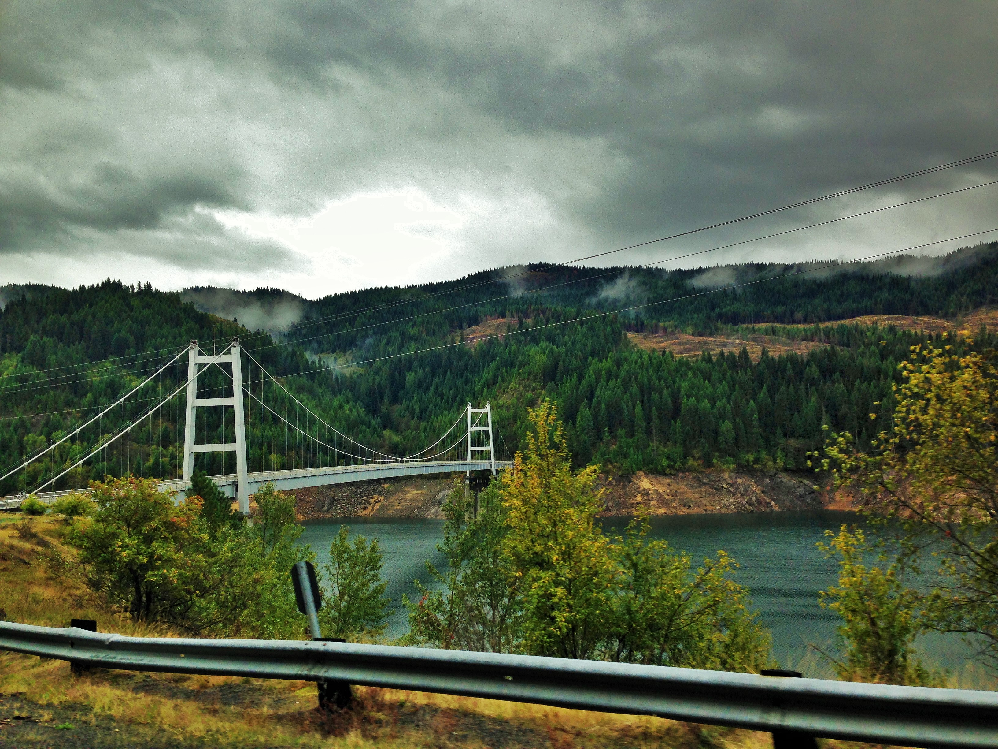
Dent Bridge
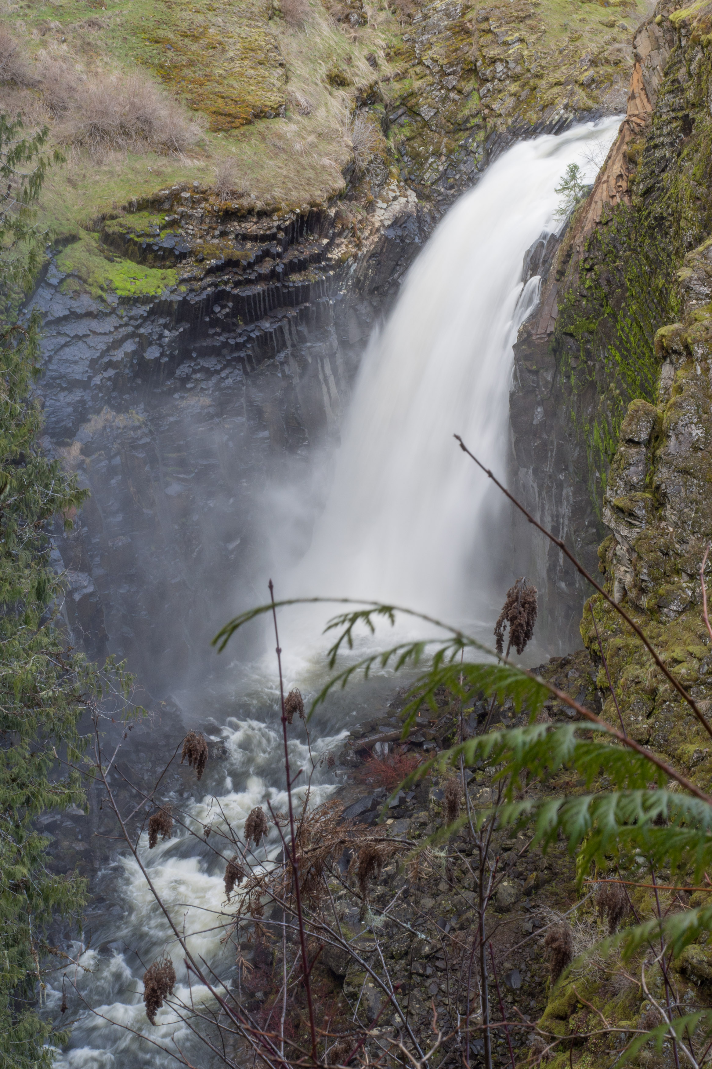
The Middle Falls at Elk Creek
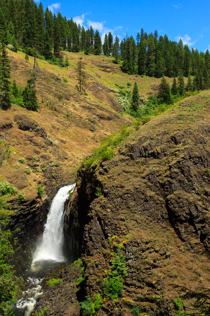
The Lower Falls at Elk Creek
Topographic Map of Old Dent Rd, Orofino, ID, USA
Find elevation by address:

Places near Old Dent Rd, Orofino, ID, USA:
Tom Ho Rd, Lenore, ID, USA
1499 Dent Bridge Rd
Dent Bridge Rd, Orofino, ID, USA
744 High Valley Rd
Dworshak State Park
Huckleberry Butte Road
Huckleberry Butte, Orofino, ID, USA
5915 Lake View Rd
Johnson Mill Rd, Orofino, ID, USA
62 Scenic Ln
2971 Lake View Rd
Dent Bridge Road
Lake View Road
Orofino
Lower Fords Creek Road
Lower Fords Creek Road
Elk River
Taft St, Elk River, ID, USA
395 Old Ahsahka Grade
Clearwater Fish Hatchery - Idaho Fish And Game
Recent Searches:
- Elevation of Corso Fratelli Cairoli, 35, Macerata MC, Italy
- Elevation of Tallevast Rd, Sarasota, FL, USA
- Elevation of 4th St E, Sonoma, CA, USA
- Elevation of Black Hollow Rd, Pennsdale, PA, USA
- Elevation of Oakland Ave, Williamsport, PA, USA
- Elevation of Pedrógão Grande, Portugal
- Elevation of Klee Dr, Martinsburg, WV, USA
- Elevation of Via Roma, Pieranica CR, Italy
- Elevation of Tavkvetili Mountain, Georgia
- Elevation of Hartfords Bluff Cir, Mt Pleasant, SC, USA