Elevation of Old Covered Bridge Rd, Cherokee, AL, USA
| Latitude | 34.7448802 |
|---|---|
| Longitude | -88.0219501 |
| Elevation | 176m / 577feet |
| Barometric Pressure | 992KPa |
Related Photos:
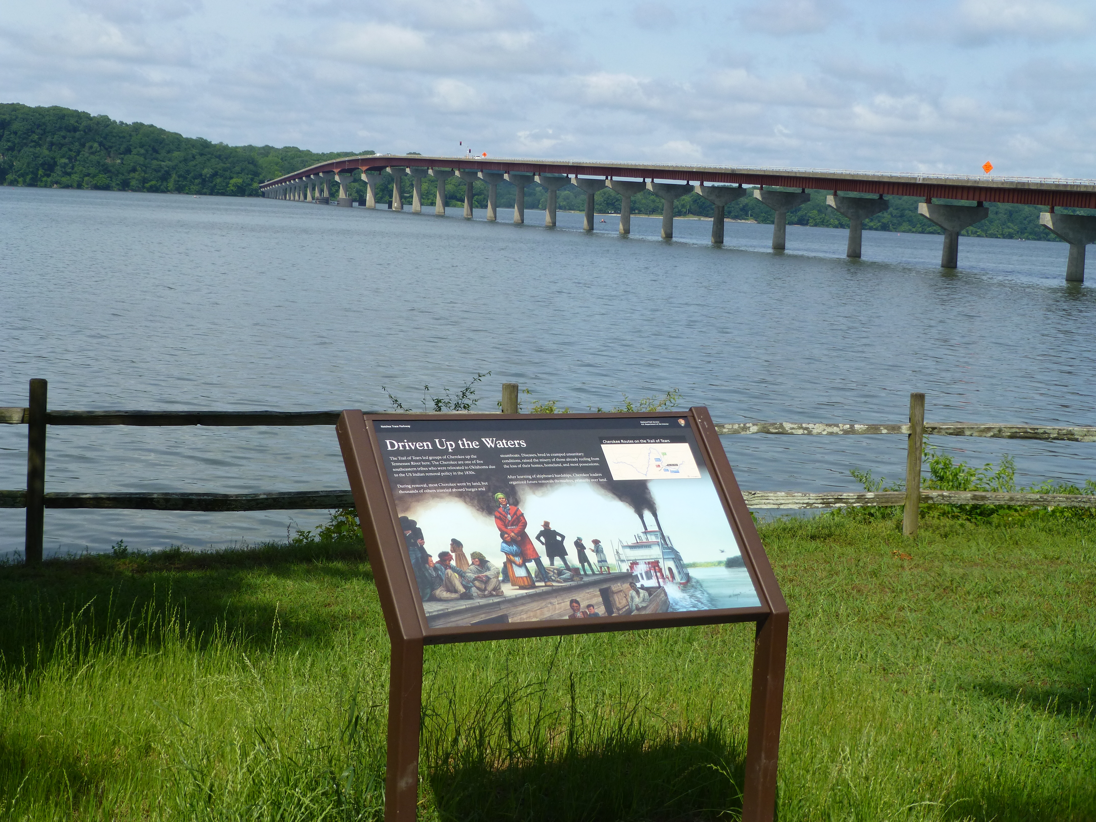
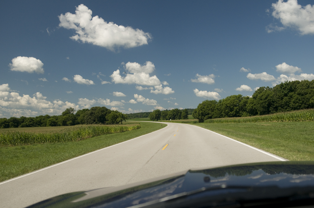
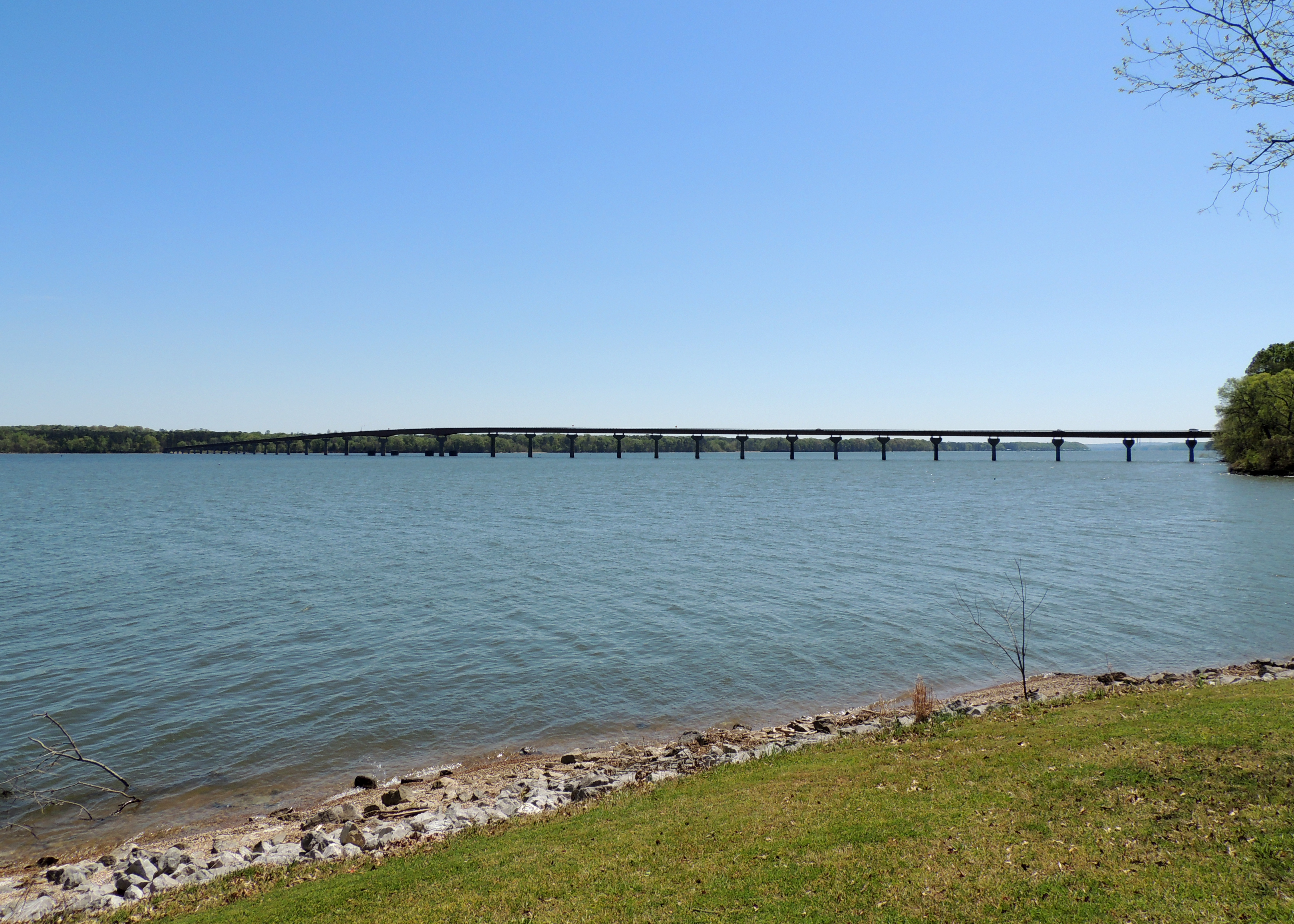
View to Tennessee River Bridge
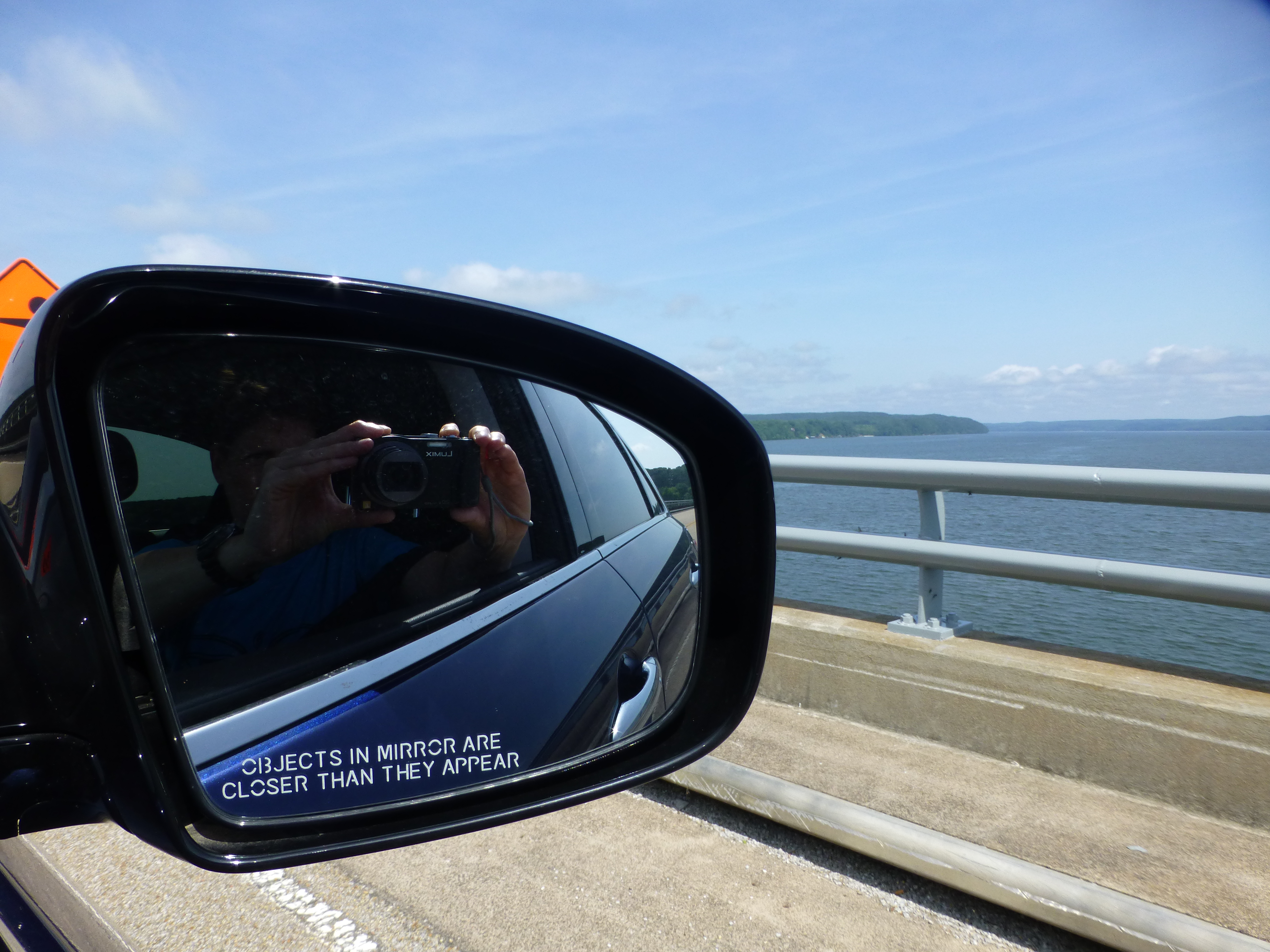
Objects in the rear view mirror ...
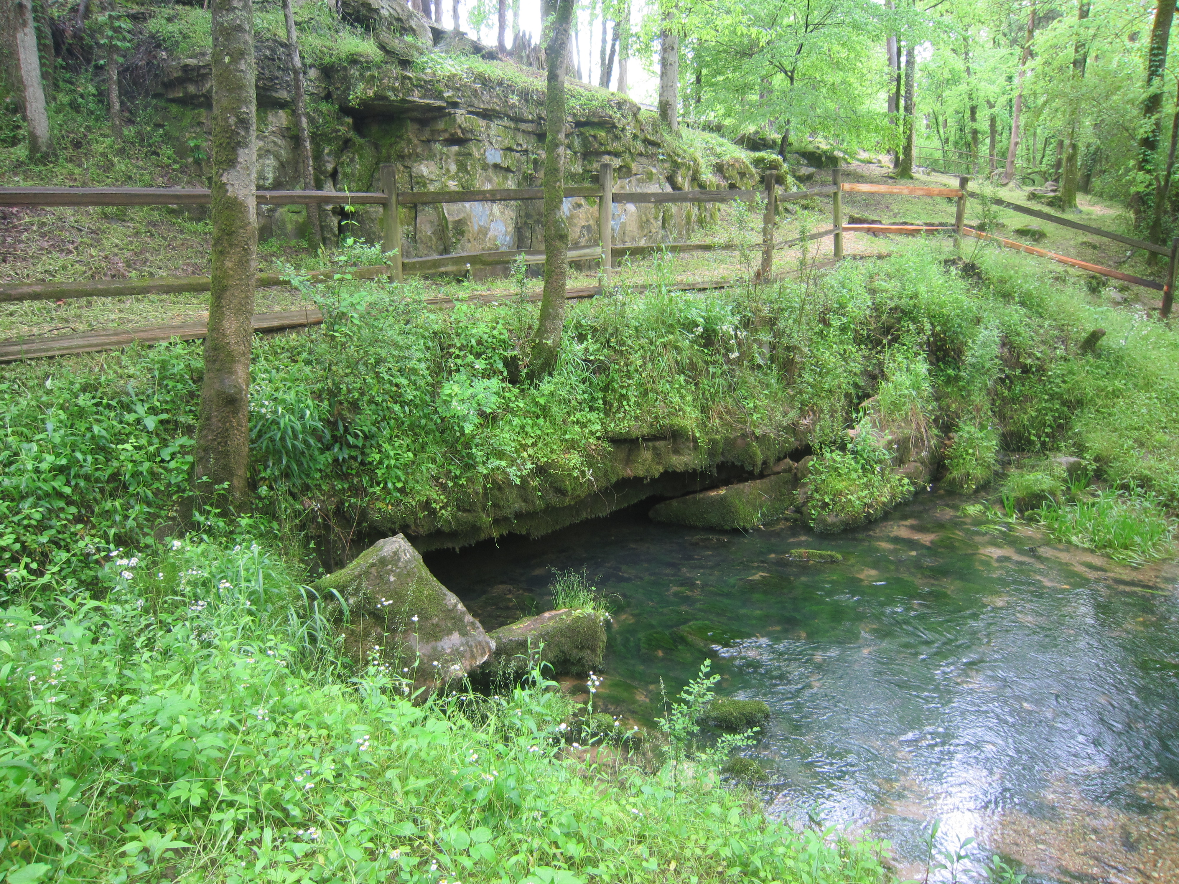
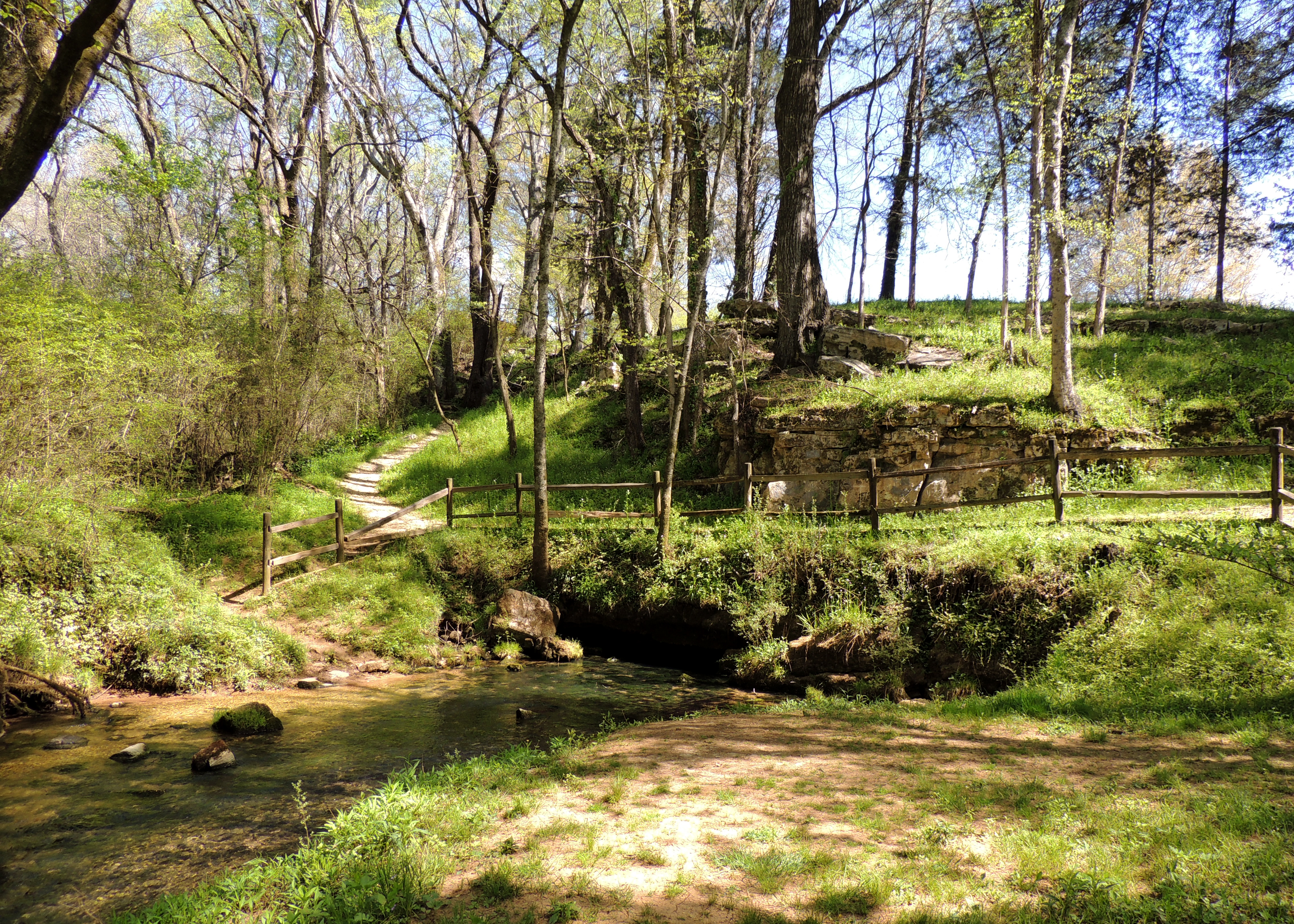
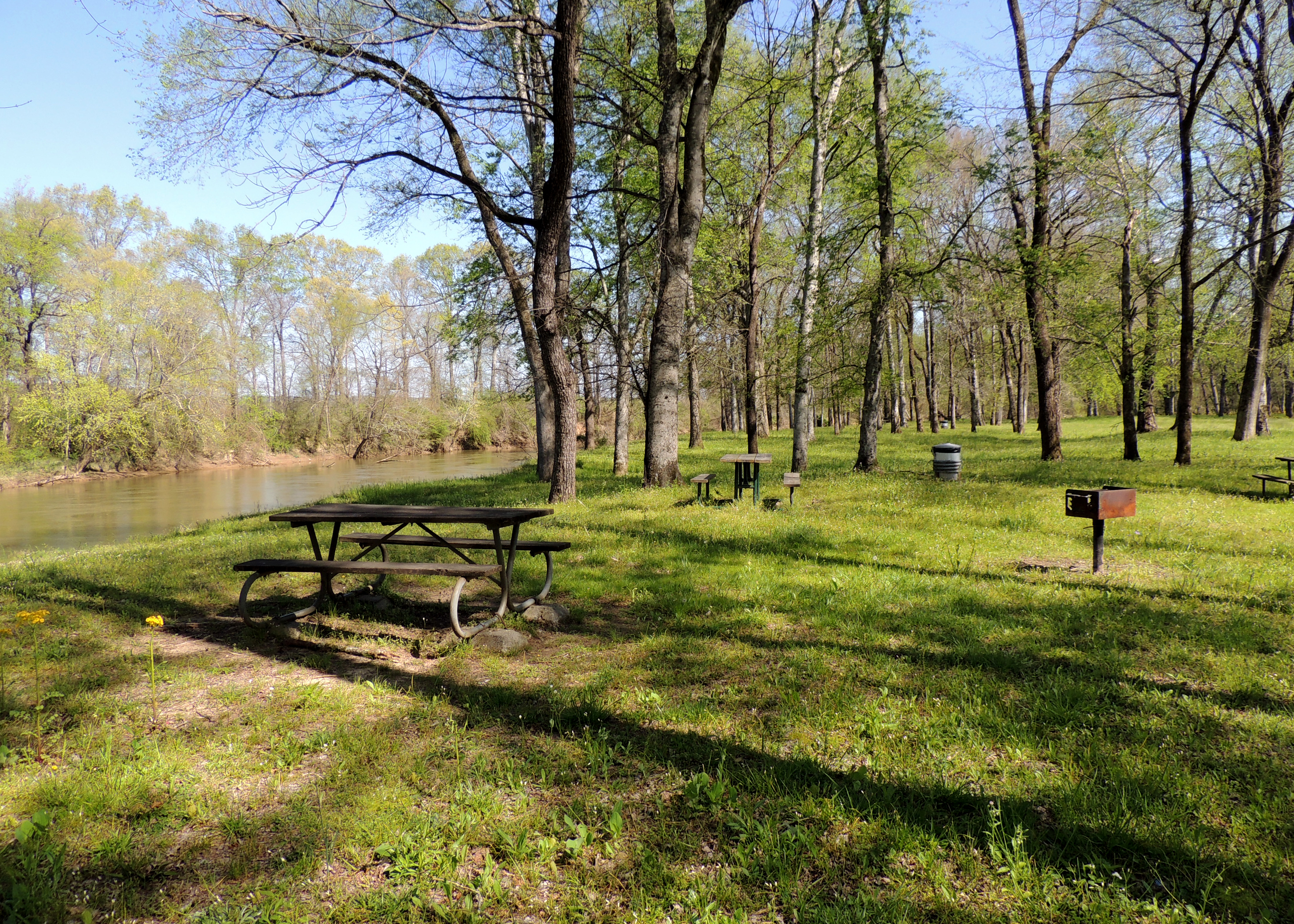
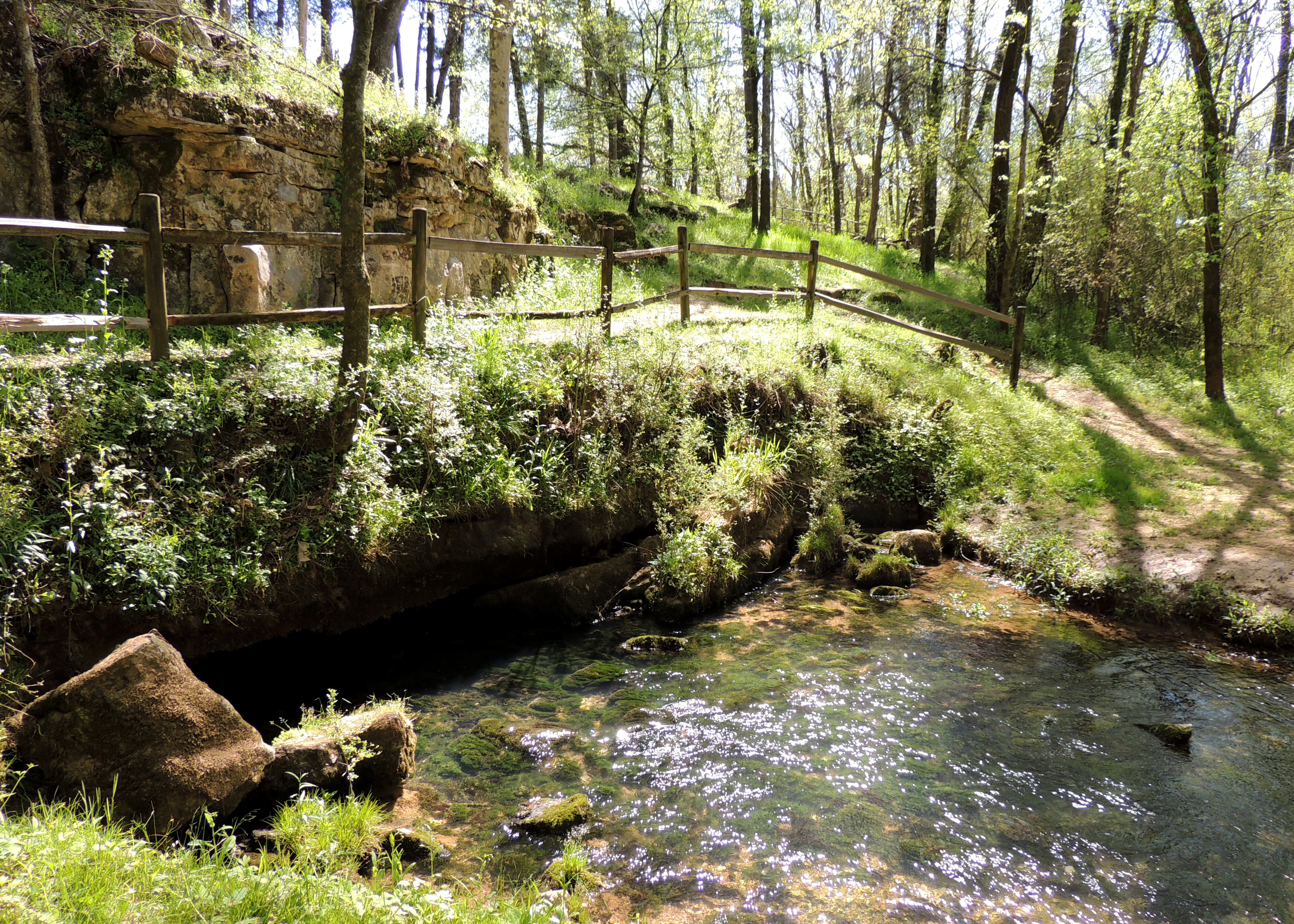
MP 320.3 Buzzard Roost Spring
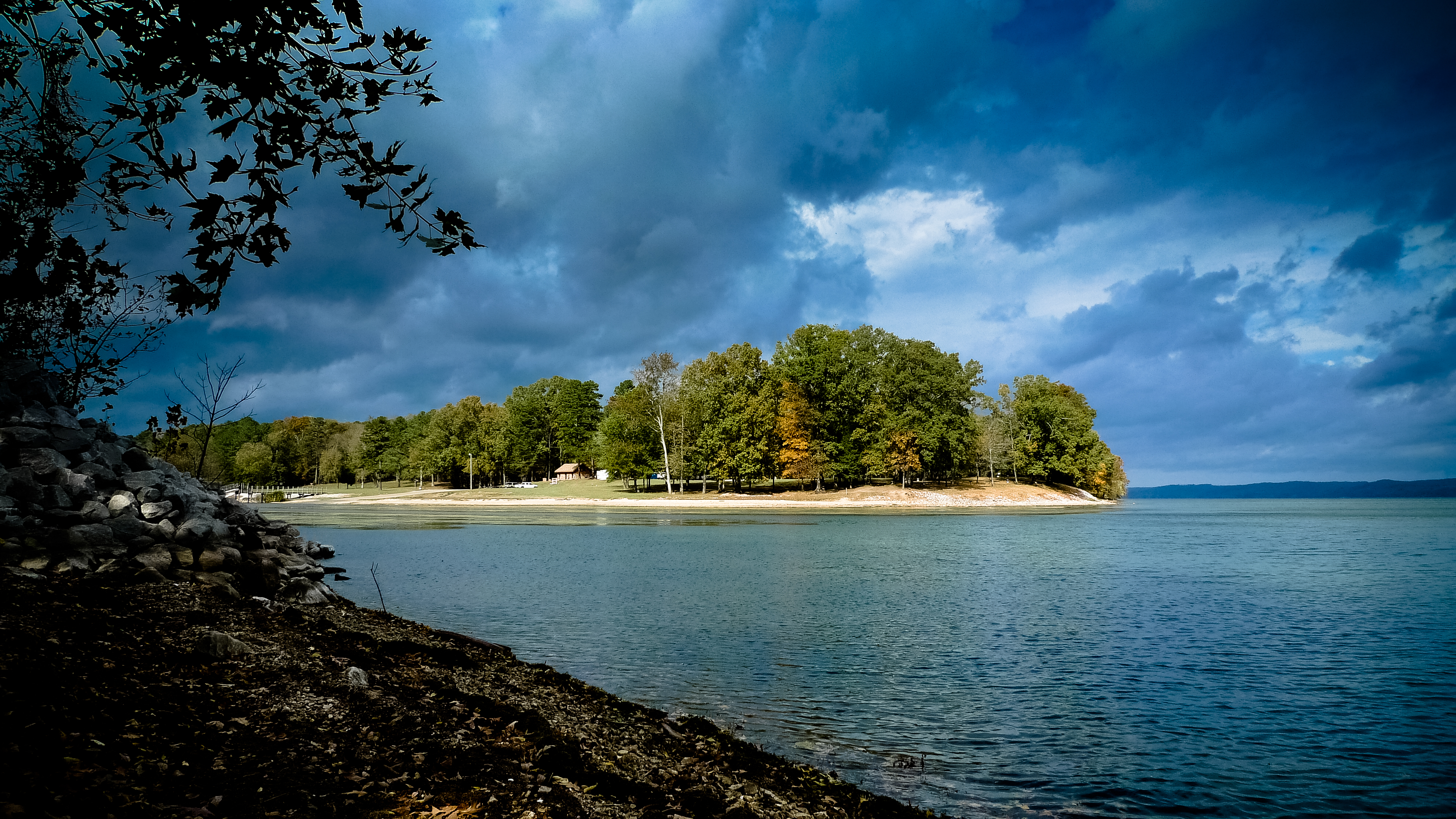
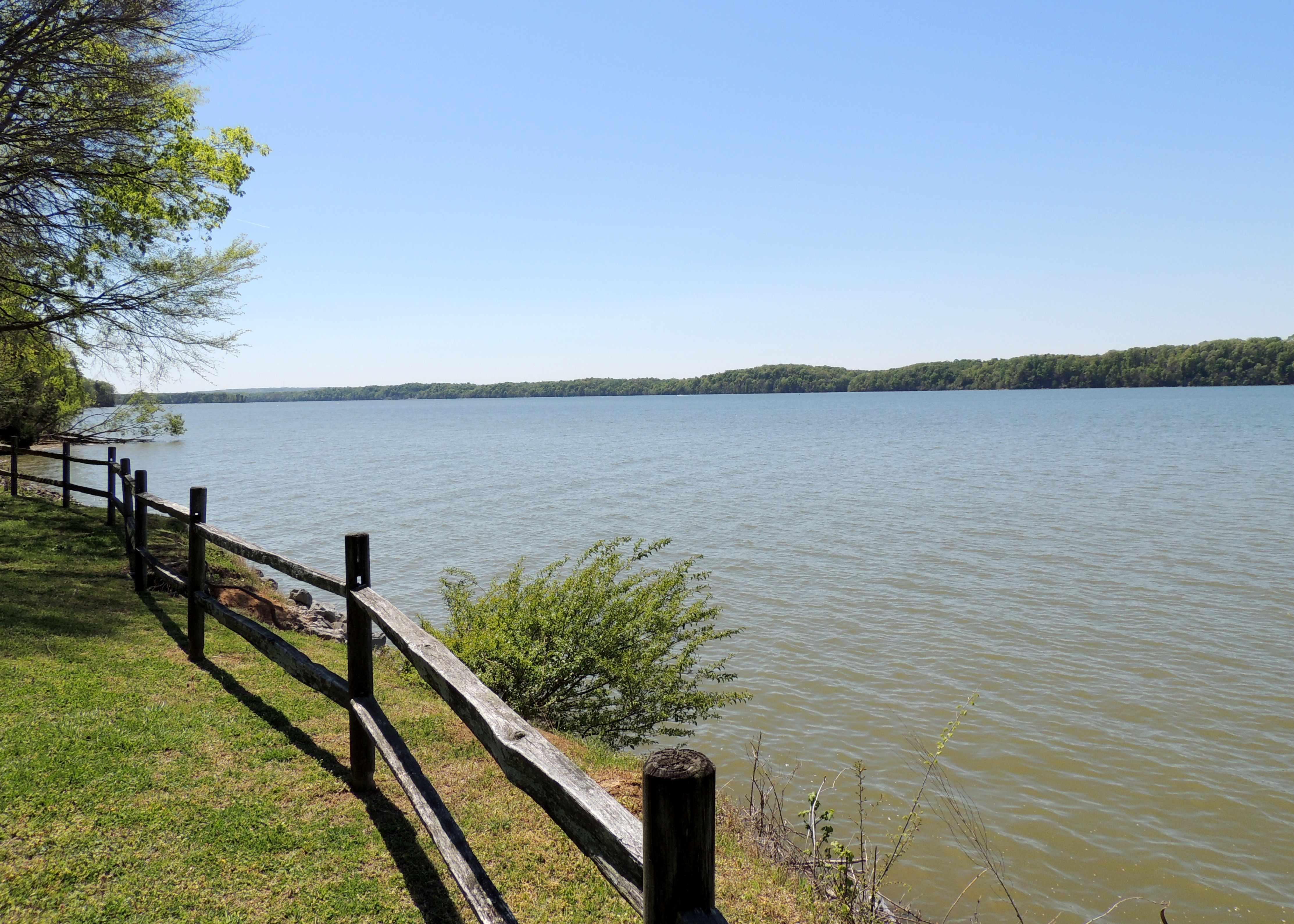
Tennessee River
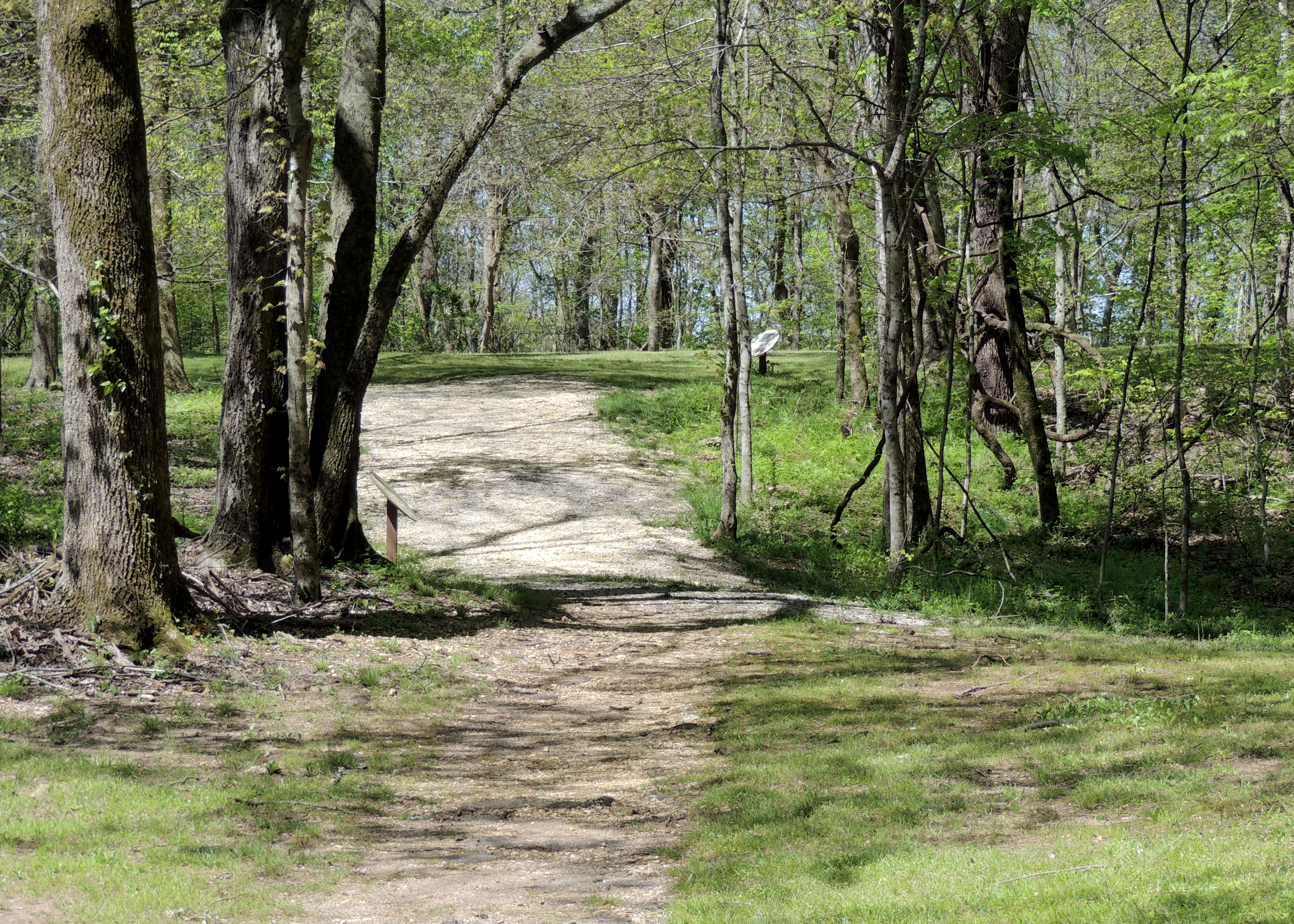
The Trace
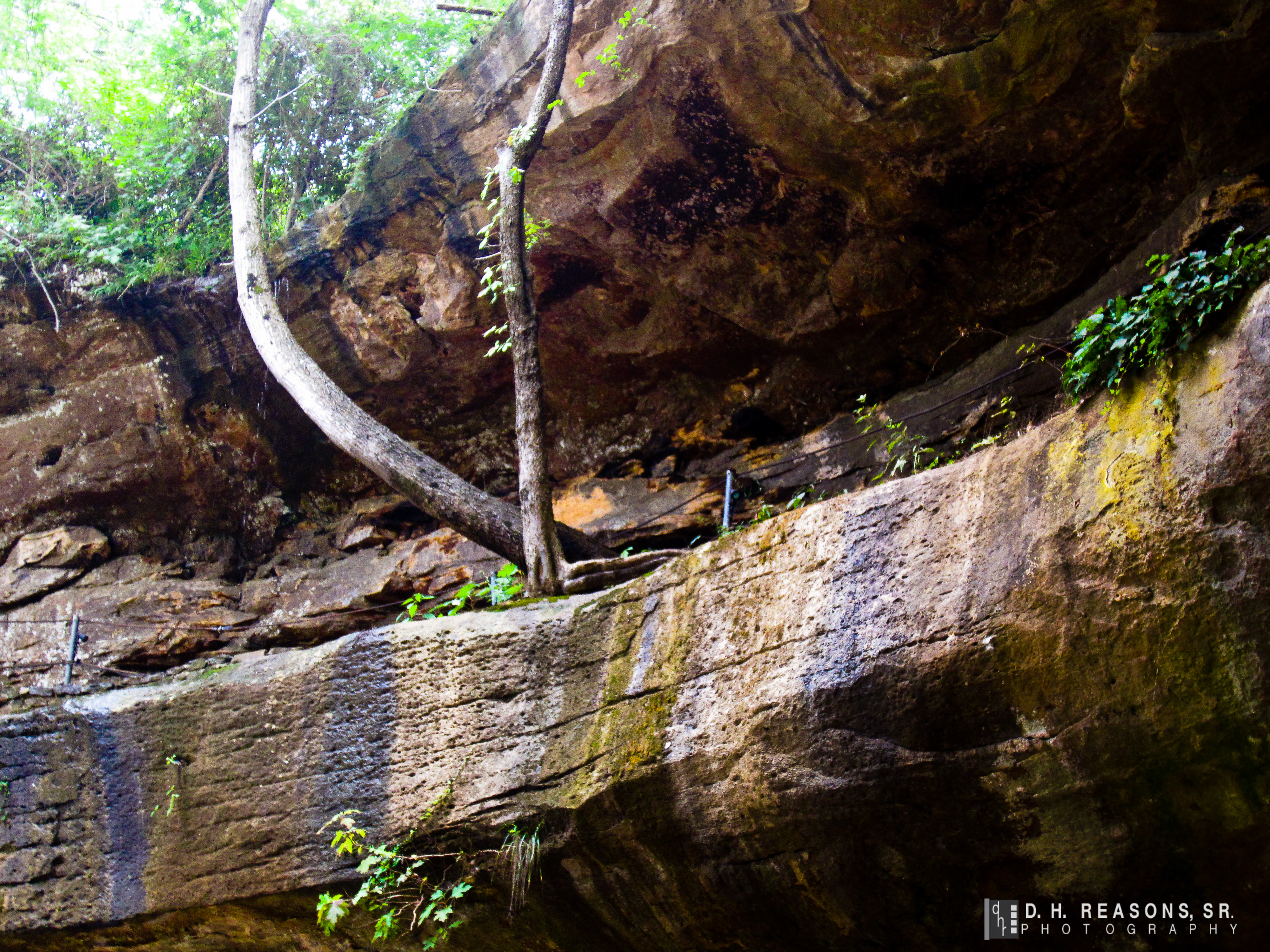
The overhang
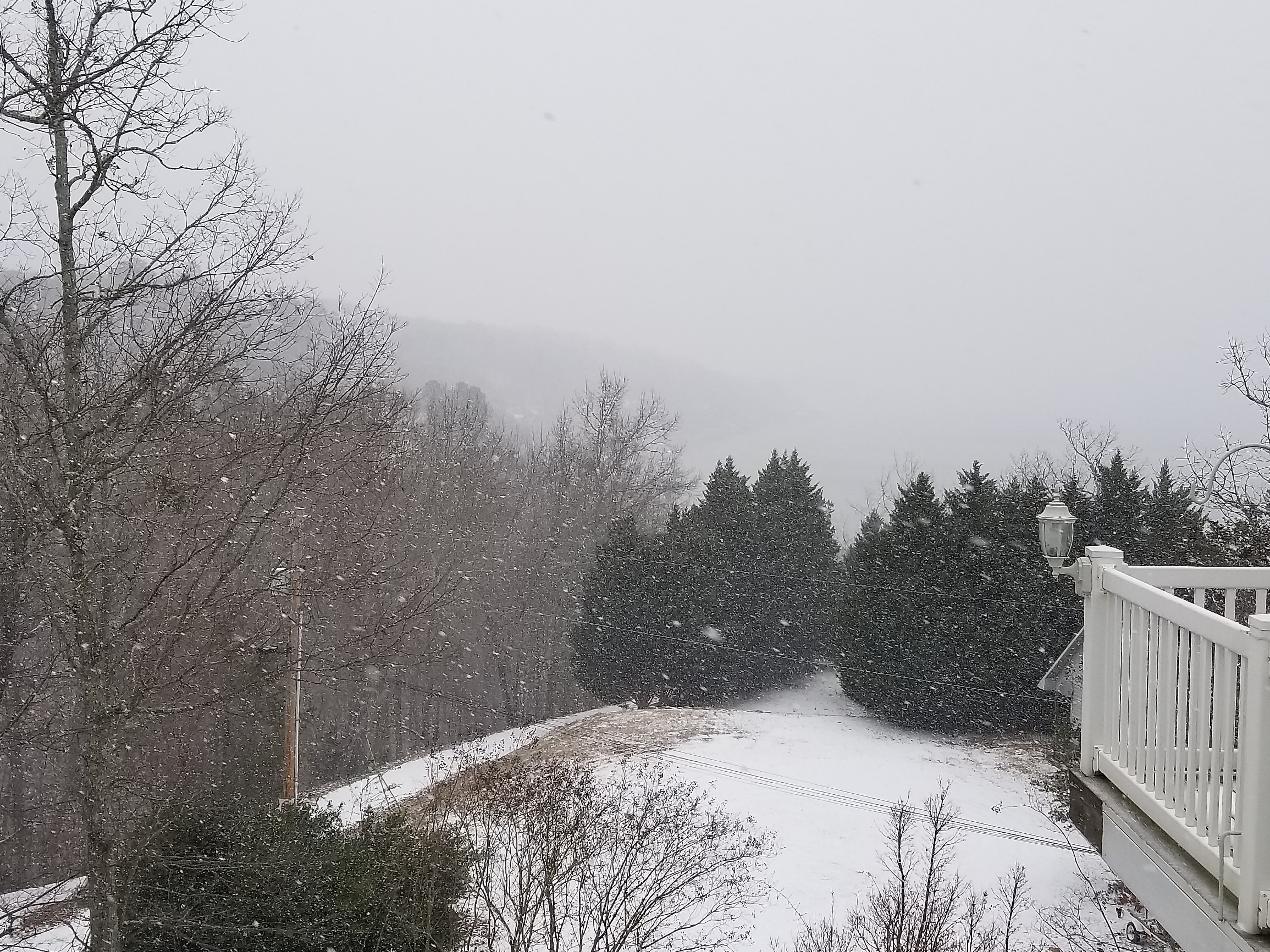
Photo submission from WTVA Weather App

Distant Fire

NS Train M6A

NS Train 201

NS Train 733

MP 320.3 Buzzard Roost Spring 2
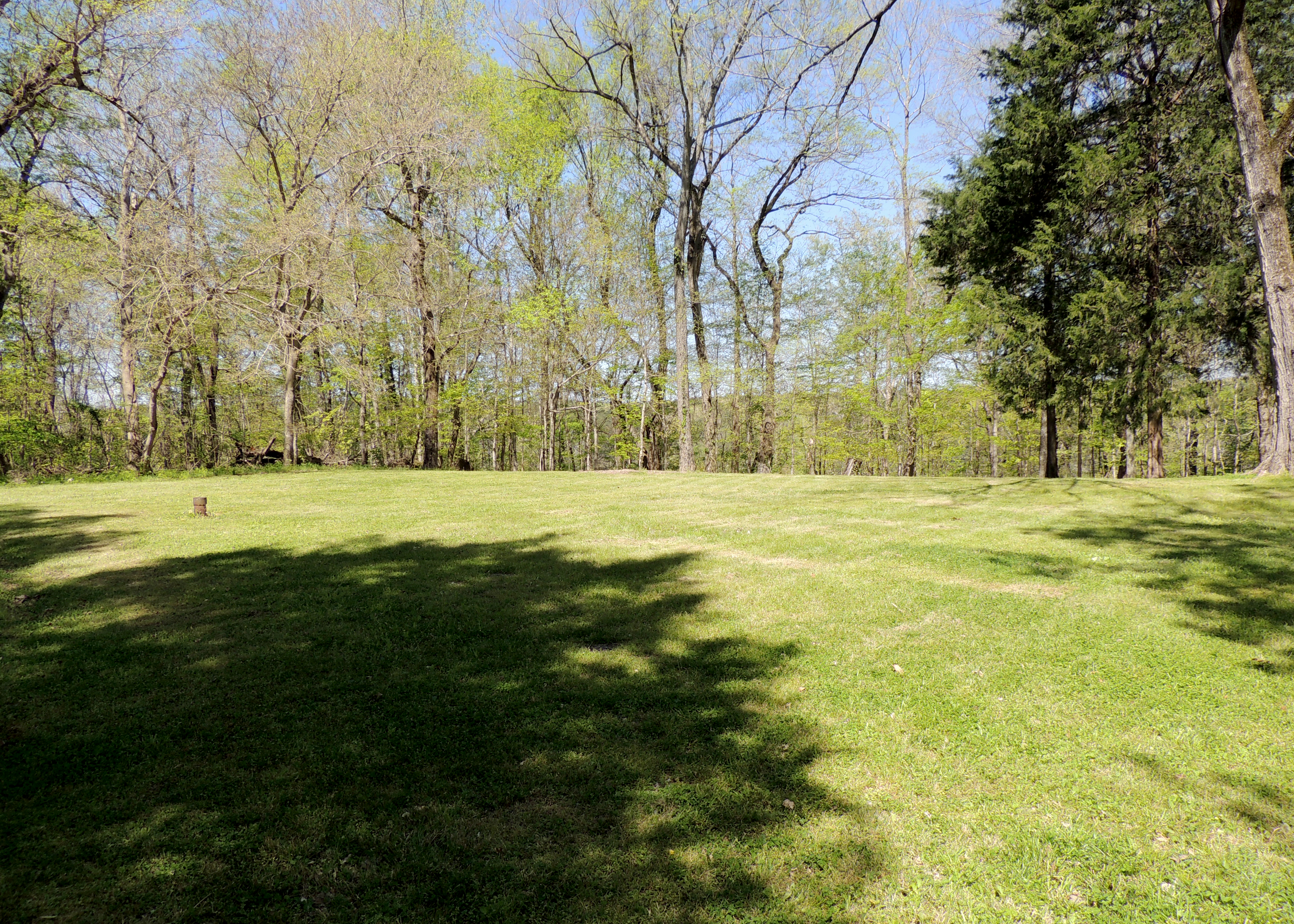
Day 8: Natchez Trace Parkway
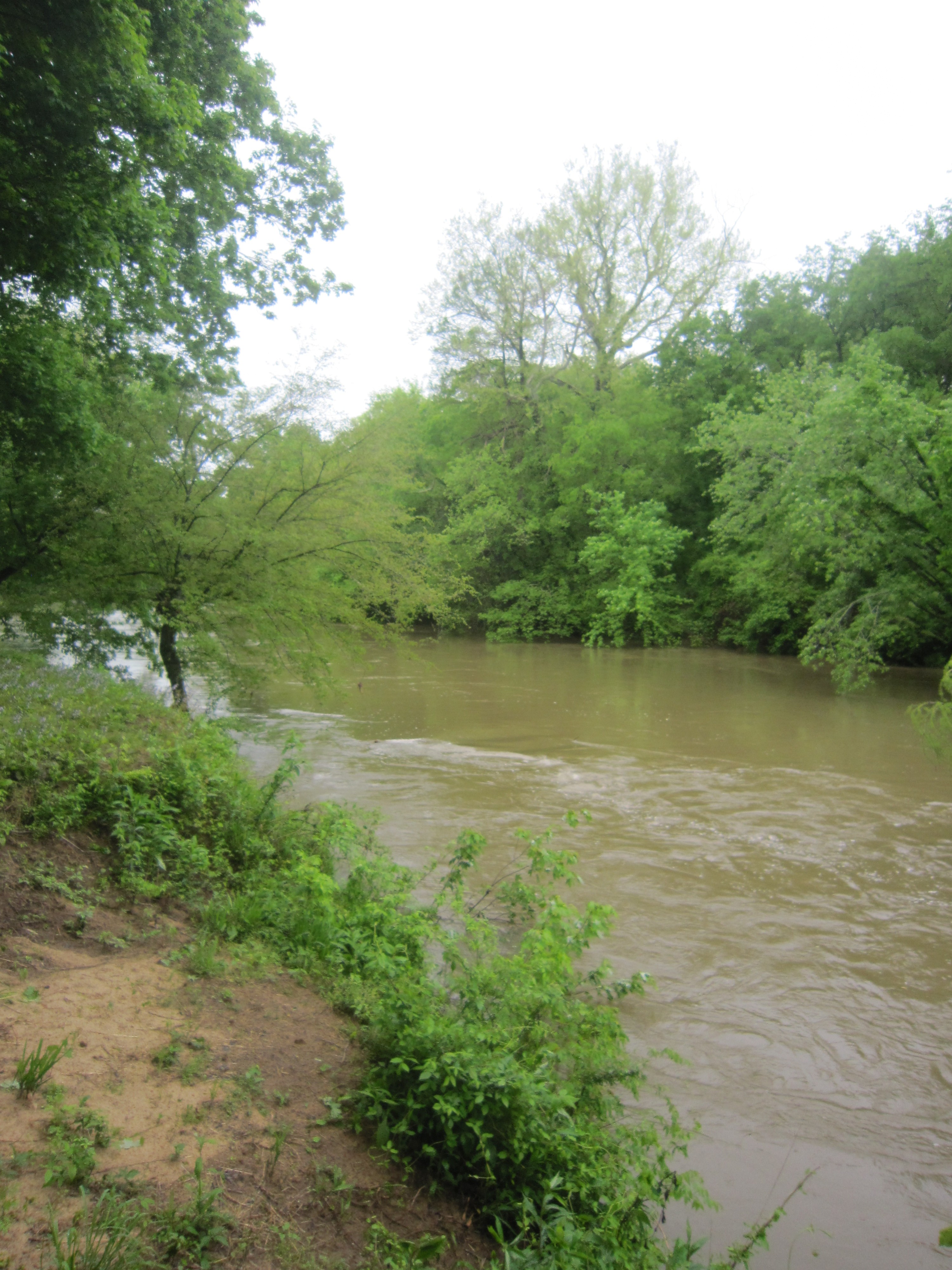
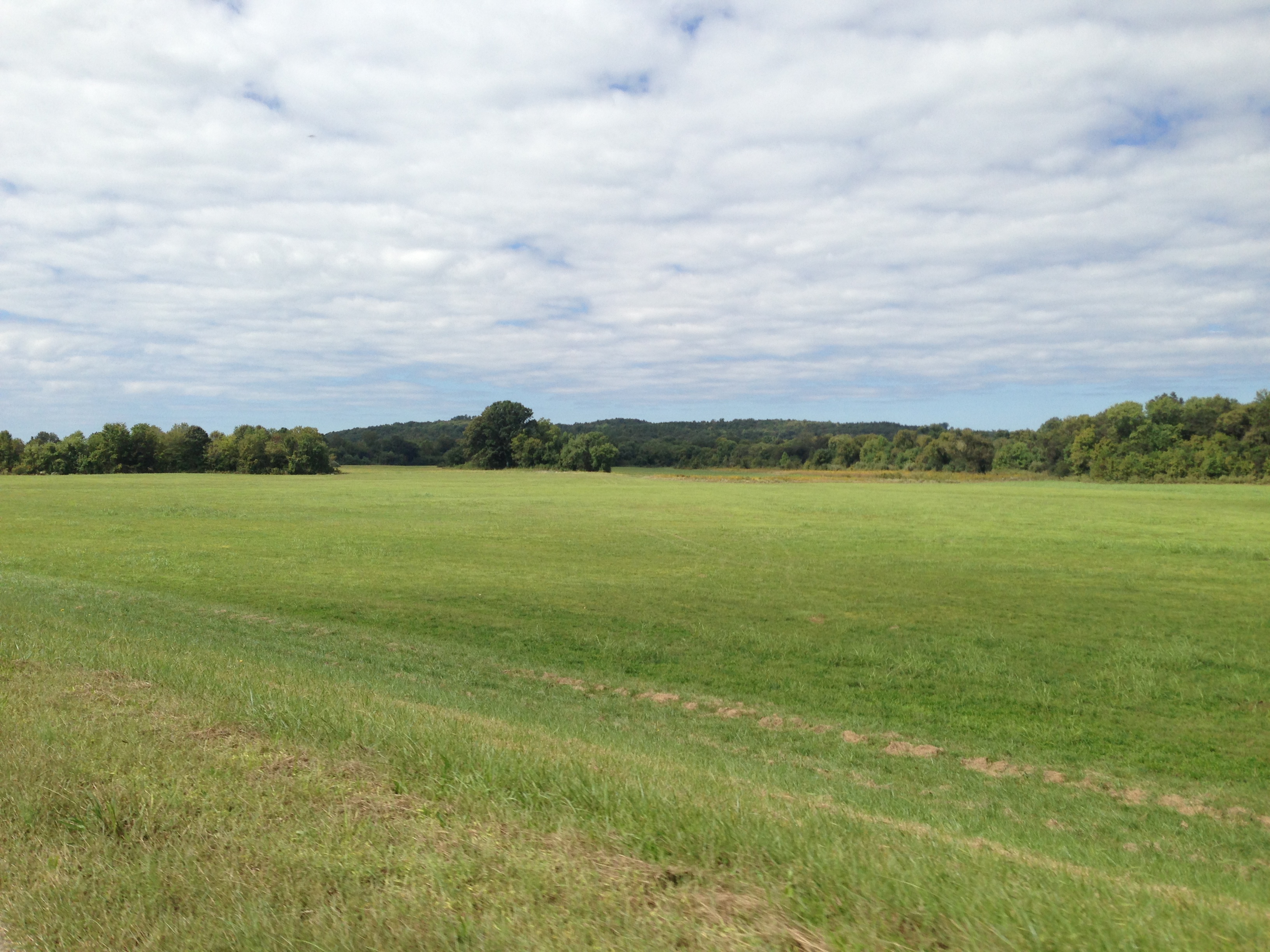
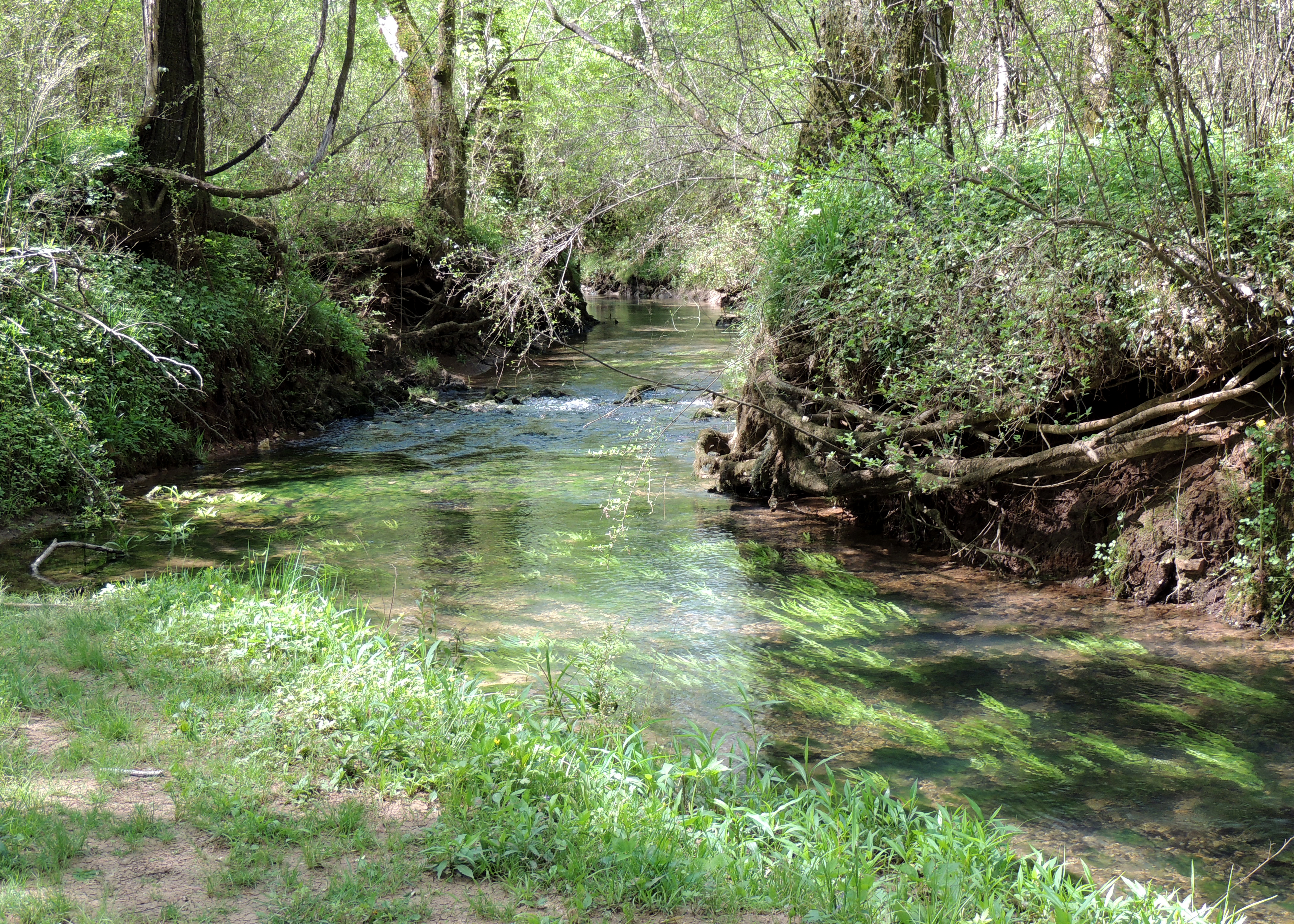
MP 313 Bear Creek
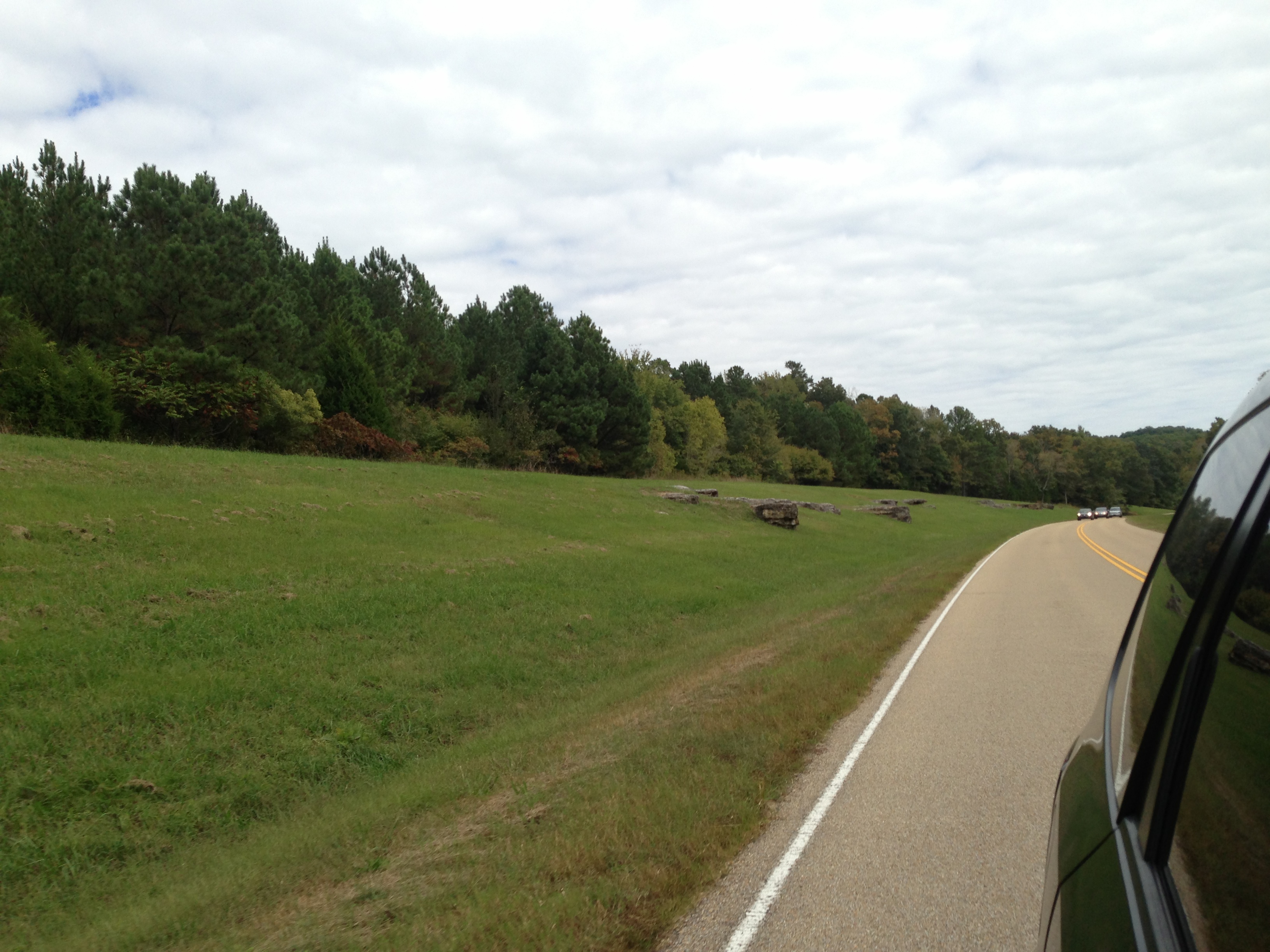
Day 8: Natchez Trace Parkway
Natchez Trace
Natchez Trace
Natchez Trace
Natchez Trace
Natchez Trace
Natchez Trace
Natchez Trace
Natchez Trace
Topographic Map of Old Covered Bridge Rd, Cherokee, AL, USA
Find elevation by address:
Places near Old Covered Bridge Rd, Cherokee, AL, USA:
Mt Hester Rd, Cherokee, AL, USA
Cherokee
235 Owens Dr
60 Margerum Rd
Allsboro
18 Rd 419
26 Rd 419
25 Rd 419
26 Co Rd 419
6 Glenview Dr
Colbert County
5530 Co Rd 2
10544 Riverton Rose Trail
County Road 128
Mt Mills Rd, Tuscumbia, AL, USA
Riverview Cir, Cherokee, AL, USA
Co Rd, Iuka, MS, USA
Red Rock Rd, Tuscumbia, AL, USA
Cedar Creek Ridge Farms
Co Rd, Florence, AL, USA
Recent Searches:
- Elevation map of Central Hungary, Hungary
- Elevation map of Pest, Central Hungary, Hungary
- Elevation of Pilisszentkereszt, Pest, Central Hungary, Hungary
- Elevation of Dharamkot Tahsil, Punjab, India
- Elevation of Bhinder Khurd, Dharamkot Tahsil, Punjab, India
- Elevation of 2881, Chabot Drive, San Bruno, San Mateo County, California, 94066, USA
- Elevation of 10370, West 107th Circle, Westminster, Jefferson County, Colorado, 80021, USA
- Elevation of 611, Roman Road, Old Ford, Bow, London, England, E3 2RW, United Kingdom
- Elevation of 116, Beartown Road, Underhill, Chittenden County, Vermont, 05489, USA
- Elevation of Window Rock, Colfax County, New Mexico, 87714, USA
- Elevation of 4807, Rosecroft Street, Kempsville Gardens, Virginia Beach, Virginia, 23464, USA
- Elevation map of Matawinie, Quebec, Canada
- Elevation of Sainte-Émélie-de-l'Énergie, Matawinie, Quebec, Canada
- Elevation of Rue du Pont, Sainte-Émélie-de-l'Énergie, Matawinie, Quebec, J0K2K0, Canada
- Elevation of 8, Rue de Bécancour, Blainville, Thérèse-De Blainville, Quebec, J7B1N2, Canada
- Elevation of Wilmot Court North, 163, University Avenue West, Northdale, Waterloo, Region of Waterloo, Ontario, N2L6B6, Canada
- Elevation map of Panamá Province, Panama
- Elevation of Balboa, Panamá Province, Panama
- Elevation of San Miguel, Balboa, Panamá Province, Panama
- Elevation of Isla Gibraleón, San Miguel, Balboa, Panamá Province, Panama