Elevation of Old Coulee Rd, Almira, WA, USA

Location: United States > Washington > Lincoln County >

Longitude: -118.93561

Latitude: 47.7995377

Elevation: 796m / 2612feet

Barometric Pressure: 92KPa

Elevation Map:

elevation map of Old Coulee Rd, Almira, WA, USA

Satellite Map:

Satellite map of Old Coulee Rd, Almira, WA, USA

Related Photos:

lake tree boulder bankslake steamboatrockstatepark
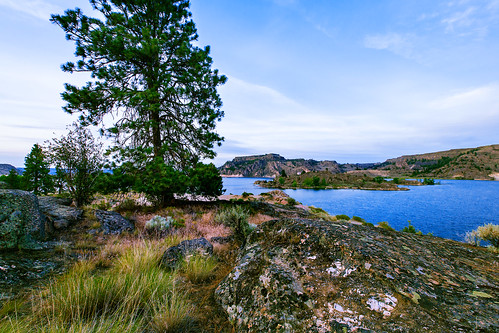
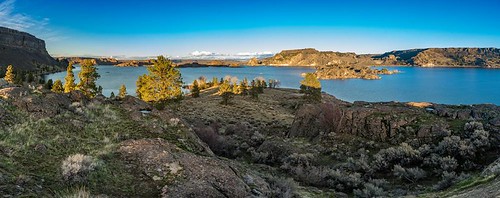
Steamboat Rock View
The Grand View
camping trees sky mountains clouds rural outdoors washington rocks columbiariver grandcouleedam grandcoulee washingtonstate sagebrush easternwashington lakeroosevelt springcanyon lakerooseveltnationalrecreationarea springcanyoncampground
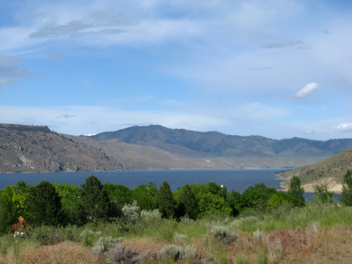
View of Spring Canyon
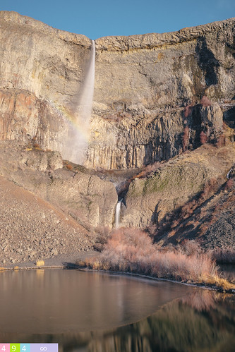
statepark longexposure cliff tree rock geotagged filter nd lonely bankslake grandcoulee washingtonstate electriccity devilspunchbowl steamboatrock lifeontheedge janusz leszczynski geo:lat=47882156 geo:lon=119091447 001944 whatasplendidpictfella
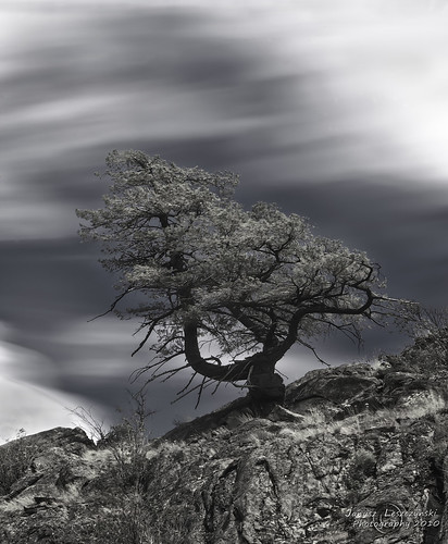
Life on the edge - Devils Punch Bowl
road park panorama rock clouds landscape geotagged washington bravo butte desert state dry sage semi columbiariver steamboat bankslake grandcoulee hdr basalt janusz leszczynski geo:lat=47854869 geo:lon=119131365 002259
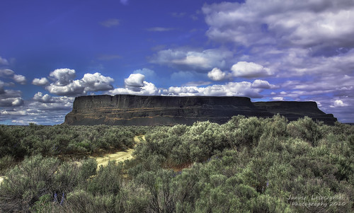
Steamboat Rock
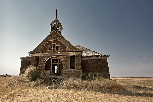
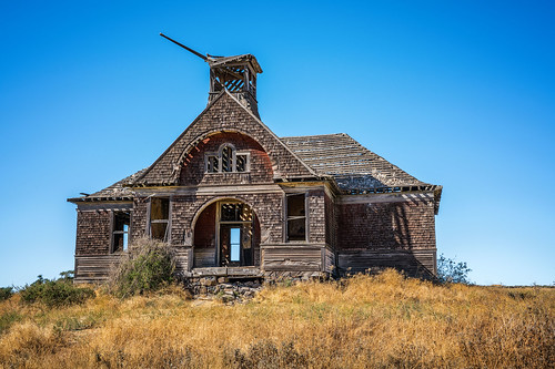
summer bw hot field rural weird day and how schoolhouse washingtonstate dilapidated between govan wilbur almira not
Dilapidation Station
park city lake water rock lens photography washington nikon desert state dam 9 grand tokina april wa coop coulee steamboat f28 banks 2011 d90 1116mm
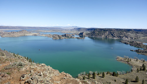
View From Steamboat Rock
Marinating Upon the Great Northwest Country: East of the Cascades (Part 47): Steamboat Rock's View
aosa10
Prairie View
Great views from top of Steamboat Rock
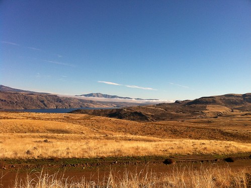
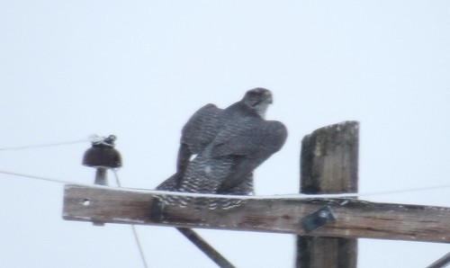
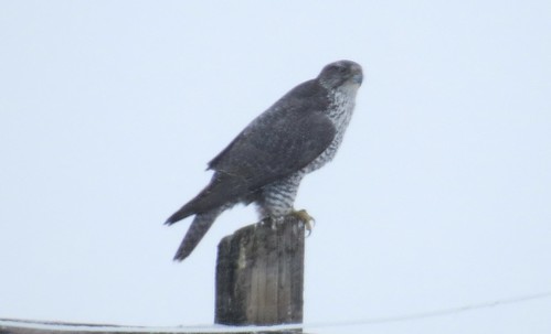
Gyrfalcon-Almira Plateau, WA-12-14-2012
winter nature landscape washington shot unitedstates pacificnorthwest northamerica bankslake washingtonstate pure iphone steamboatrock mobilephotography iphone5 iphoneography iphoneographer
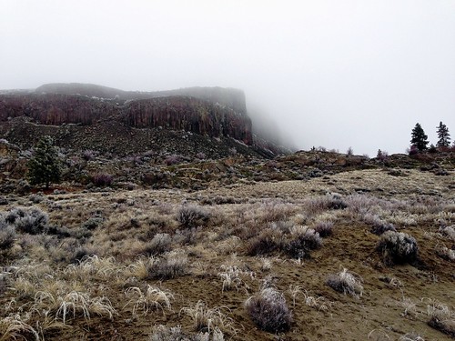
Steamboat Rock, Washington (Feb 2013)
Class of 1965 Reunion 08-21-10
Gyrfalcon-Almira Plateau, WA-12-14-2012
nikondigitalcamera
2013-05-14 08;37;11
nikondigitalcamera
2013-05-14 08;41;35
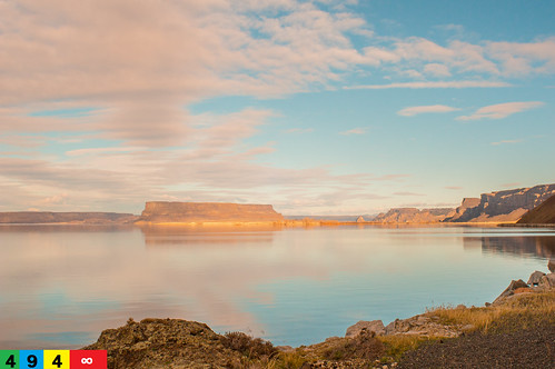
Evening View of Lake Roosevelt
northrupcanyon cliff sagebrush trees clouds hiking landscape
Looking Back
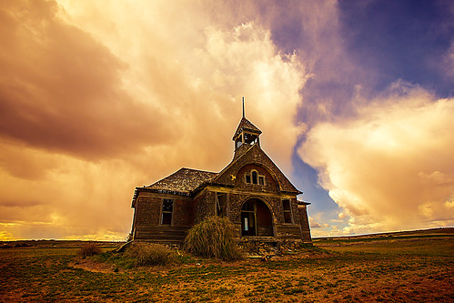
abandoned clouds decay dilapidated lincolncounty govanwa govanschoolhouse
The Govan Schoolhouse
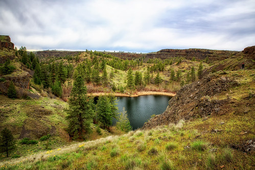
northrupcanyon northruplake iceagefloods landscape canyon lake wilbur
Northrup Lake
govanschoolhouse washingtonstate abandonedplaces abandoned school cupola easternwashington richborder landscape variotessartfe42470
No one to Teach
Marinating Upon the Great Northwest Country: East of the Cascades (Part 96): Living On the Edge
Seasonal Expectations
wilbur hiking northrupcanyon bankslake steamboatrock steep sagebrush landscape
Leading the Way
panorama usa lake rock landscape washington spring butte unitedstates desert northwest scenic panoramic pacificnorthwest northamerica bankslake steamboatrock easternwashington grantcounty
Steamboat Rock, Washington, June 2014
hiking karl nikon statepark steamboatrock travel washington electriccity unitedstates
Steamboat Rock State Park
karl washington electriccity unitedstates
Steamboat Rock State Park
fall karl kayaking lake mountains statepark sun water washington hartline wa unitedstates
Kayaking Steamboat Rock State Park
karl washington electriccity unitedstates
Steamboat Rock State Park
karl lake mountains statepark steamboatrock washington electriccity unitedstates
Steamboat Rock State Park
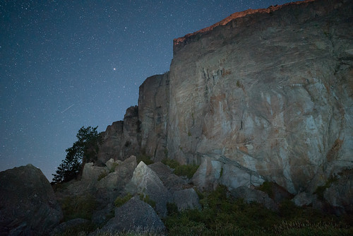
cliff moon mountain night stars washington rocks astro moonrise astrophotography pacificnorthwest moonlight astronomy grandcoulee pnw columbiarivergorge easternwashington scablands channeledscablands a7s zeissloxia21mm
Banks Lake Moonrise
trees blackandwhite usa monochrome forest washington spring unitedstates northwest pacificnorthwest northamerica bankslake
Trees, Banks Lake, Washington, May 2014
Dramatic Irony