Elevation of Okaton Township, SD, USA
Location: United States > South Dakota > Jones County >
Longitude: -100.86772
Latitude: 43.862182
Elevation: 703m / 2306feet
Barometric Pressure: 93KPa
Elevation Map:
Satellite Map:
Related Photos:

19:45
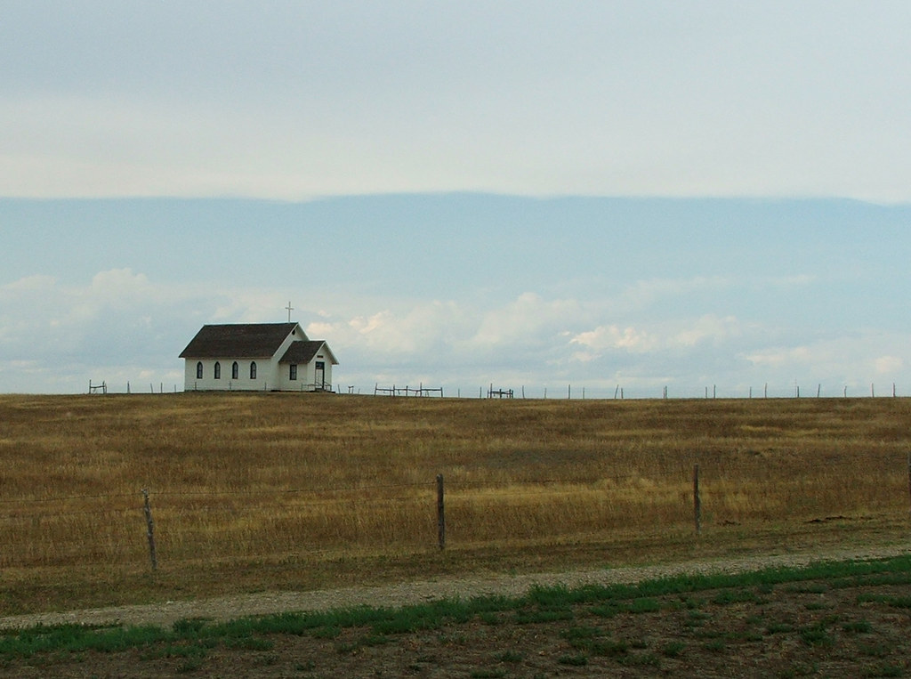
Church On The Open Plain
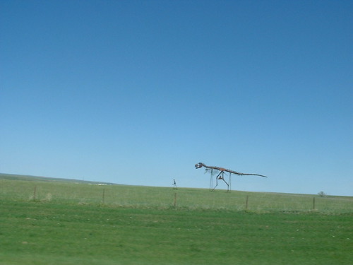
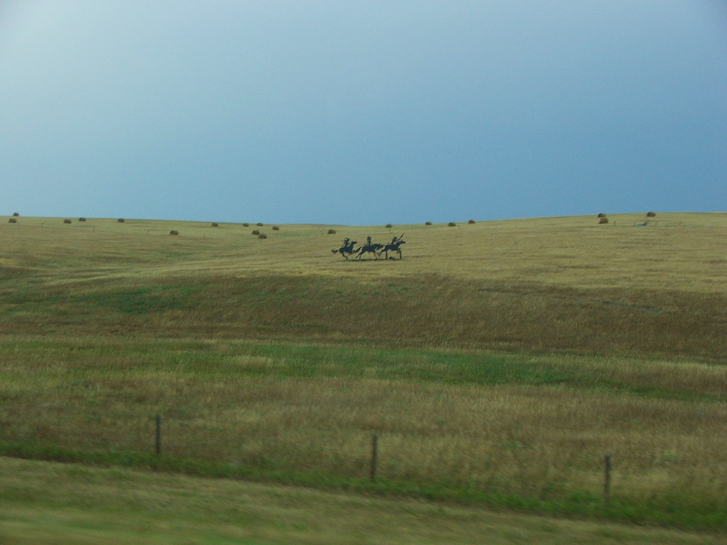
Tyrannosaur sculpture
0.6/sq mi (0.2/km²).

South Dakota
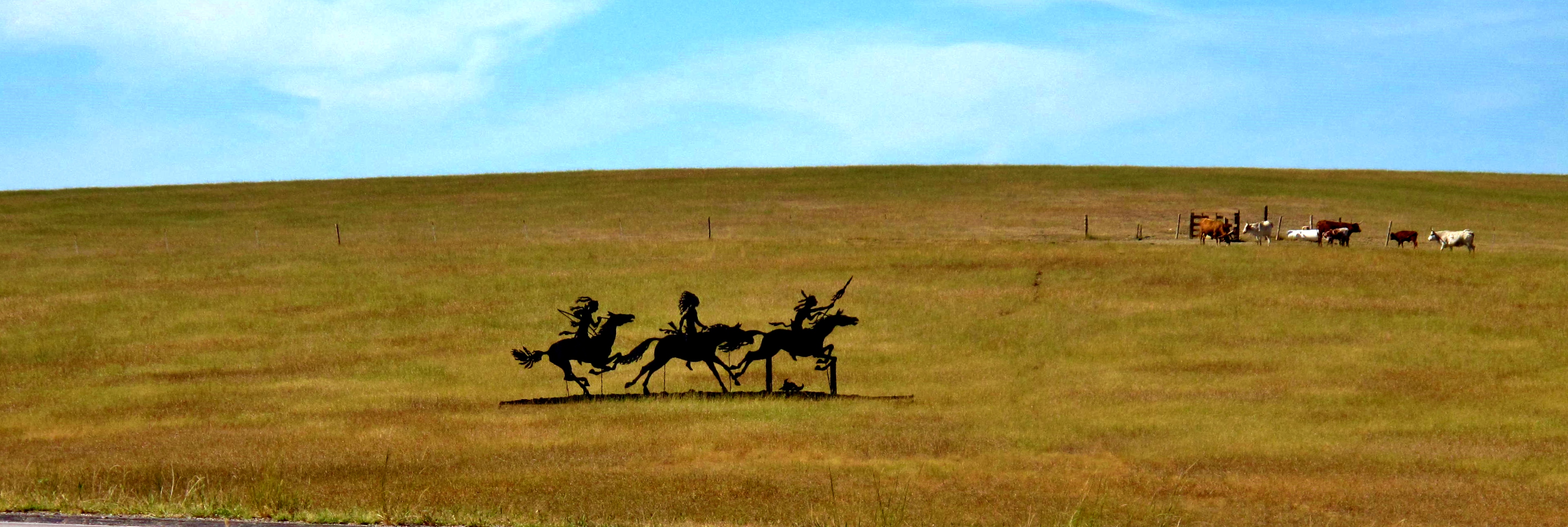
Roadside Art, South Dakota

Long Way Home
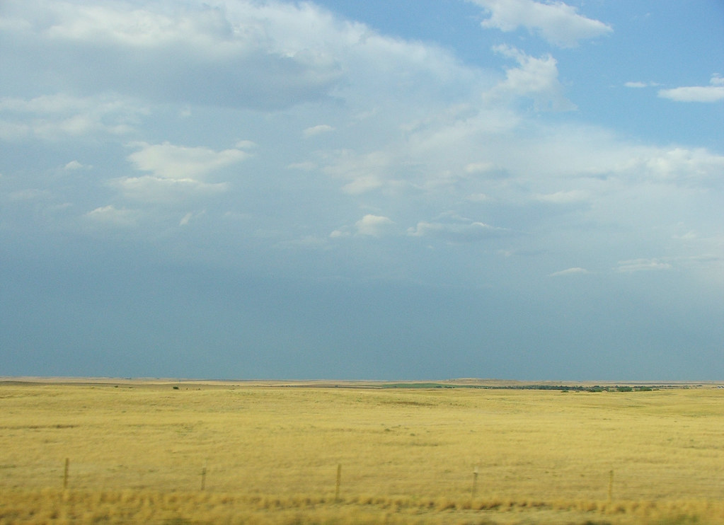
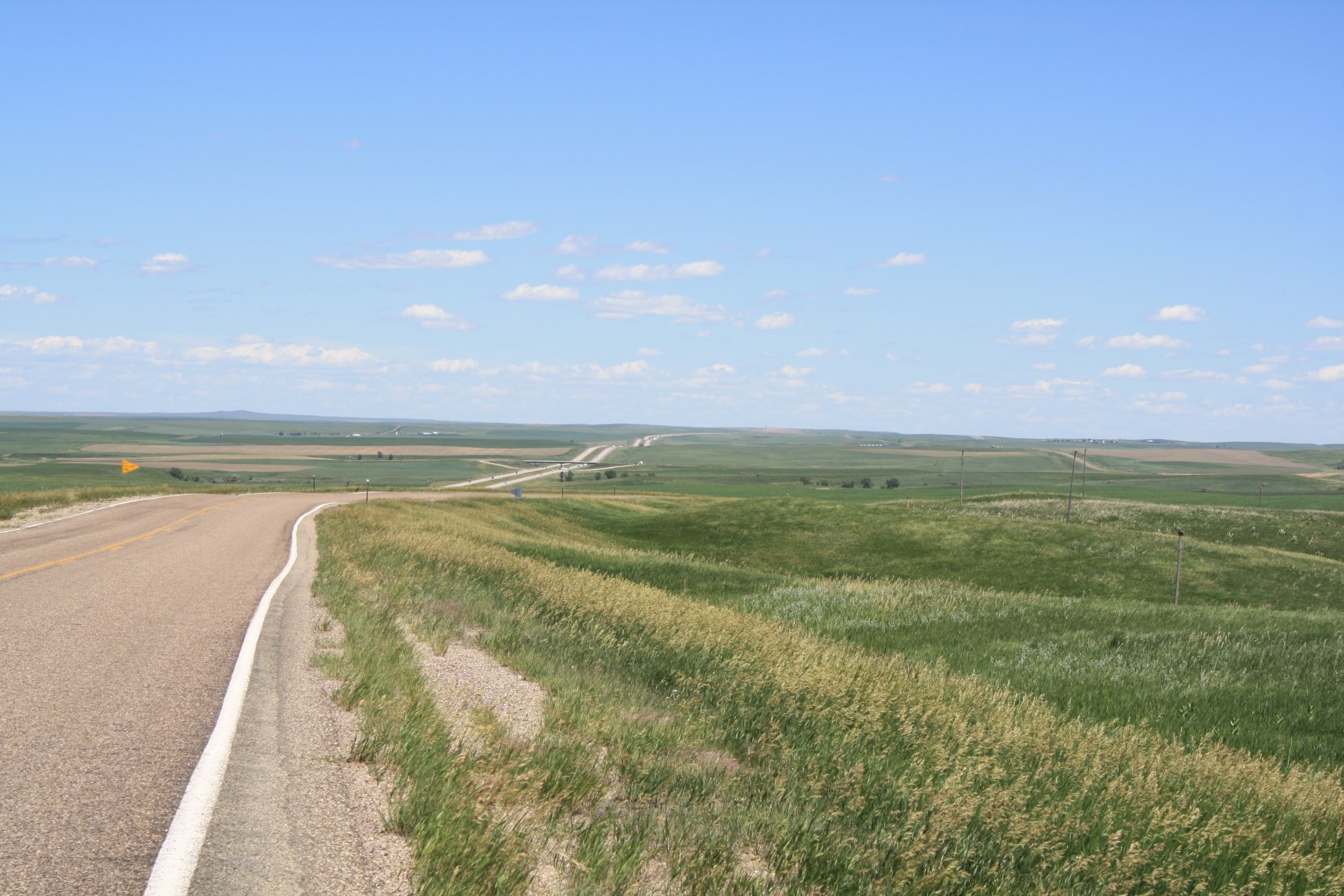
Ocean of Green

Seven Forty-Eight PM
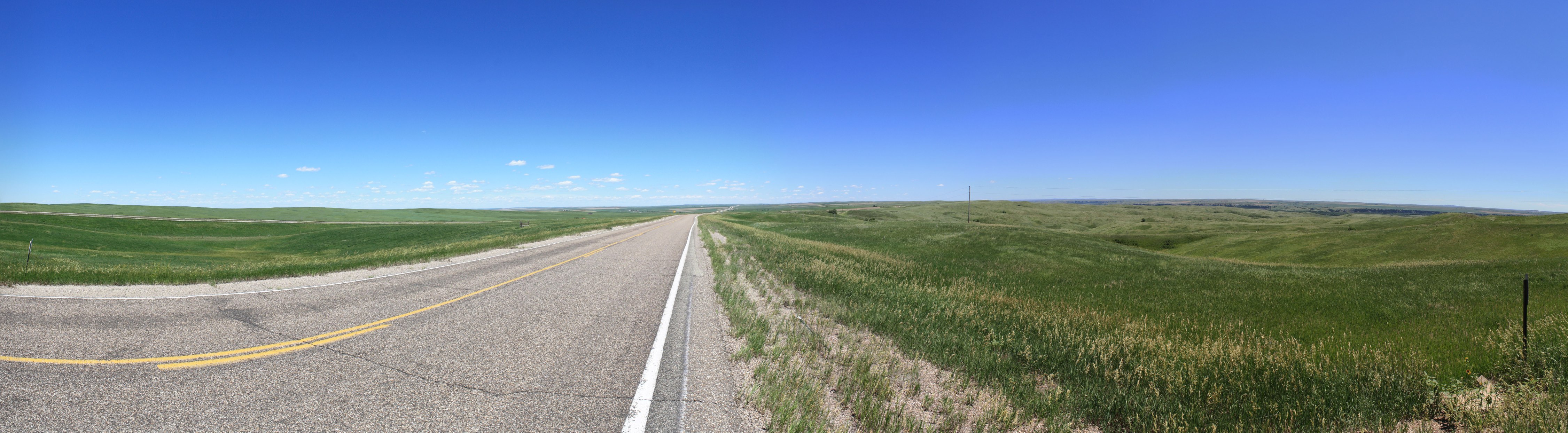
Wide Open Spaces...

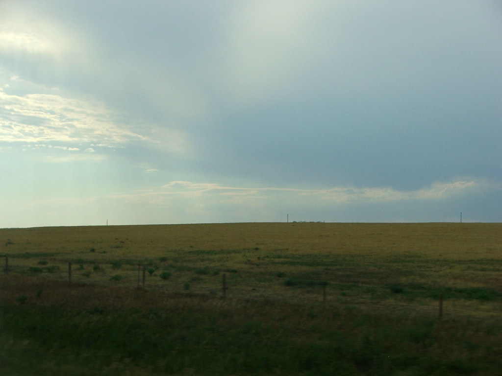
Seven Forty-Six PM
Outrunning A Hail Storm
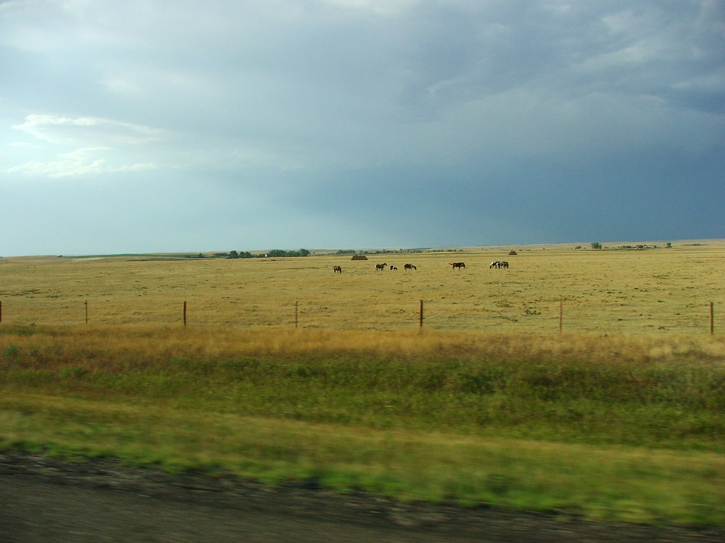
Horse Ranch
Far Horizon
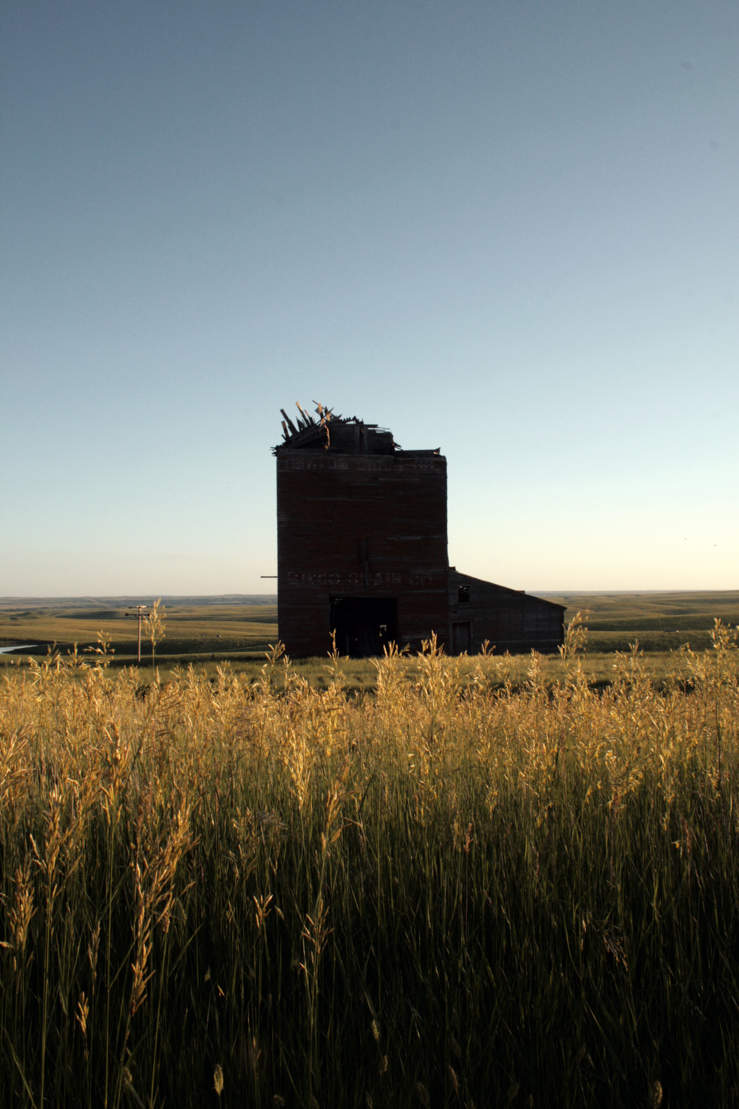
In The Middle Of No Where
Topographic Map of Okaton Township, SD, USA
Find elevation by address:

Places in Okaton Township, SD, USA:
Places near Okaton Township, SD, USA:
Okaton
Murdo
Jones County
Cody Township
South Stanley
Stanley County
State Hwy, Fort Pierre, SD, USA
State Hwy, Fort Pierre, SD, USA
North Stanley
Fort Pierre
516 Deadwood St
516 Deadwood St
516 Deadwood St
516 Deadwood St
516 Deadwood St
Missouri River
Hustan Ave, Fort Pierre, SD, USA
Rousseau Avenue
313 S Pierre St
Pierre
Recent Searches:
- Elevation of Corso Fratelli Cairoli, 35, Macerata MC, Italy
- Elevation of Tallevast Rd, Sarasota, FL, USA
- Elevation of 4th St E, Sonoma, CA, USA
- Elevation of Black Hollow Rd, Pennsdale, PA, USA
- Elevation of Oakland Ave, Williamsport, PA, USA
- Elevation of Pedrógão Grande, Portugal
- Elevation of Klee Dr, Martinsburg, WV, USA
- Elevation of Via Roma, Pieranica CR, Italy
- Elevation of Tavkvetili Mountain, Georgia
- Elevation of Hartfords Bluff Cir, Mt Pleasant, SC, USA