Elevation of State Hwy, Fort Pierre, SD, USA
Location: United States > South Dakota > Stanley County > North Stanley >
Longitude: -100.58148
Latitude: 44.4377851
Elevation: 567m / 1860feet
Barometric Pressure: 95KPa
Elevation Map:
Satellite Map:
Related Photos:
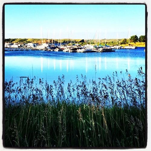
Monday Morning 2
Lake Oahe SD Sunset Sep05 _09 (2)
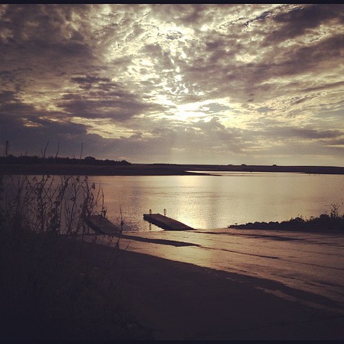
Sunrise over Missouri River
Home away from home
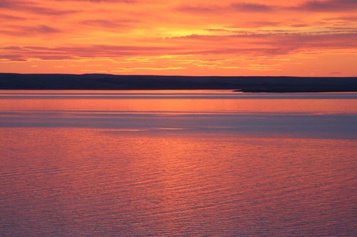
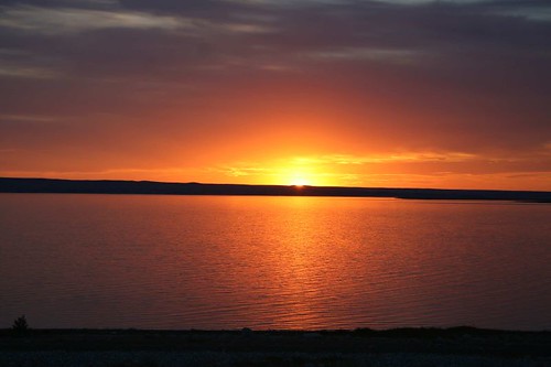
Lake Oahe SD Sunset

Missouri Dam 001
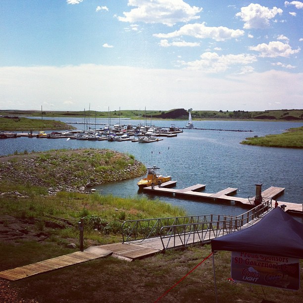
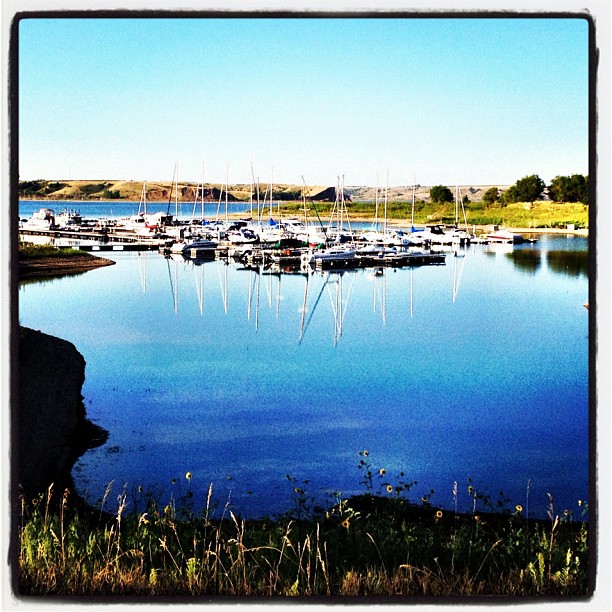
Lunch with sailboats. #southdakota #lakeoahe #weekendgetaway #missouririver #bestgrandmaever
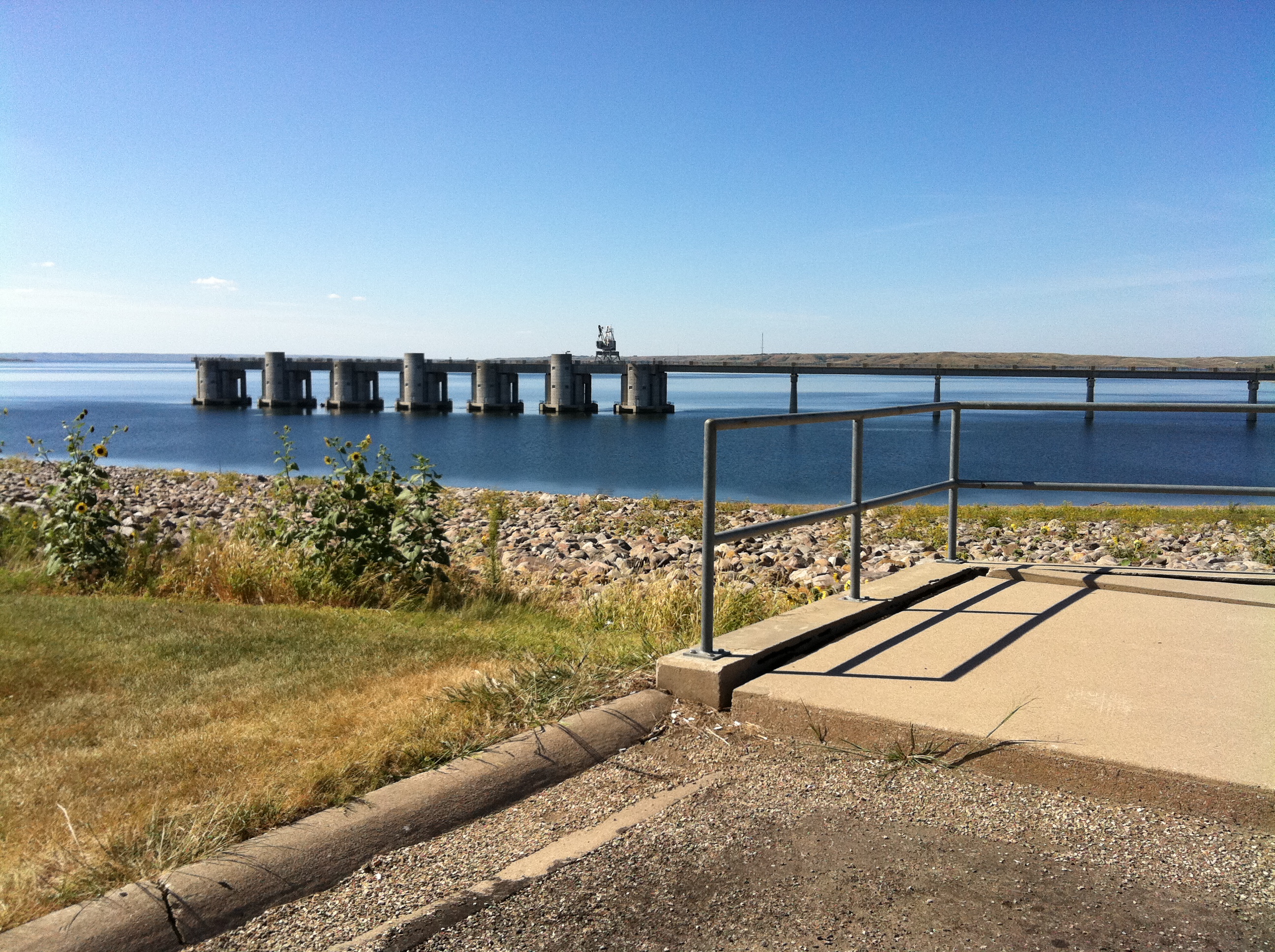
Oahe Dam highest side
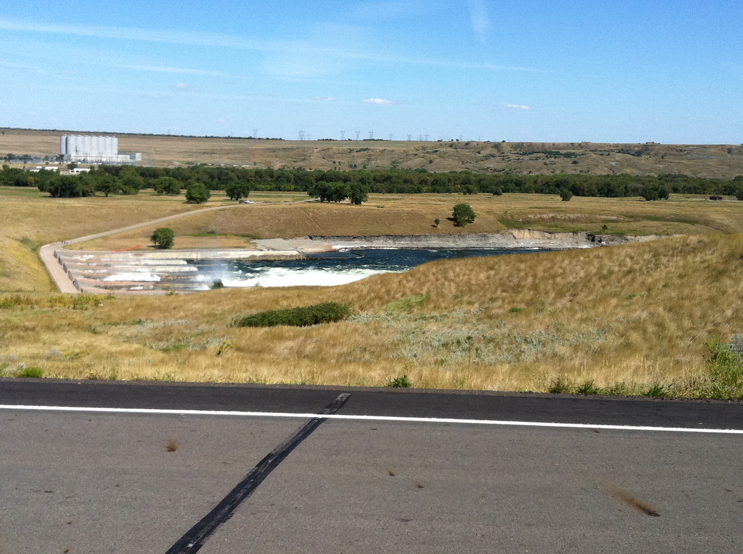
Oahe Dam lower side

Missouri Dam 003
Topographic Map of State Hwy, Fort Pierre, SD, USA
Find elevation by address:

Places near State Hwy, Fort Pierre, SD, USA:
State Hwy, Fort Pierre, SD, USA
Rousseau Avenue
South Stanley
Hustan Ave, Fort Pierre, SD, USA
516 Deadwood St
516 Deadwood St
516 Deadwood St
516 Deadwood St
516 Deadwood St
Fort Pierre
313 S Pierre St
Stanley County
Pierre
Missouri River
603 N Jackson Ave
1600 E Dakota Ave
1730 N Garfield Ave
28181 182nd St
North Stanley
Jones County
Recent Searches:
- Elevation of Corso Fratelli Cairoli, 35, Macerata MC, Italy
- Elevation of Tallevast Rd, Sarasota, FL, USA
- Elevation of 4th St E, Sonoma, CA, USA
- Elevation of Black Hollow Rd, Pennsdale, PA, USA
- Elevation of Oakland Ave, Williamsport, PA, USA
- Elevation of Pedrógão Grande, Portugal
- Elevation of Klee Dr, Martinsburg, WV, USA
- Elevation of Via Roma, Pieranica CR, Italy
- Elevation of Tavkvetili Mountain, Georgia
- Elevation of Hartfords Bluff Cir, Mt Pleasant, SC, USA