Elevation of OK-20, Claremore, OK, USA
Location: United States > Oklahoma > Rogers County > Claremore >
Longitude: -95.469257
Latitude: 36.307562
Elevation: 219m / 719feet
Barometric Pressure: 99KPa
Elevation Map:
Satellite Map:
Related Photos:
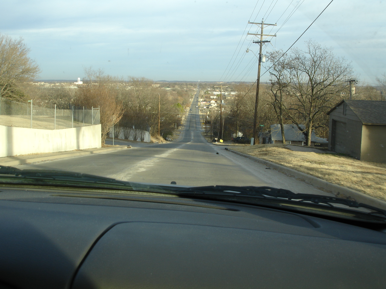
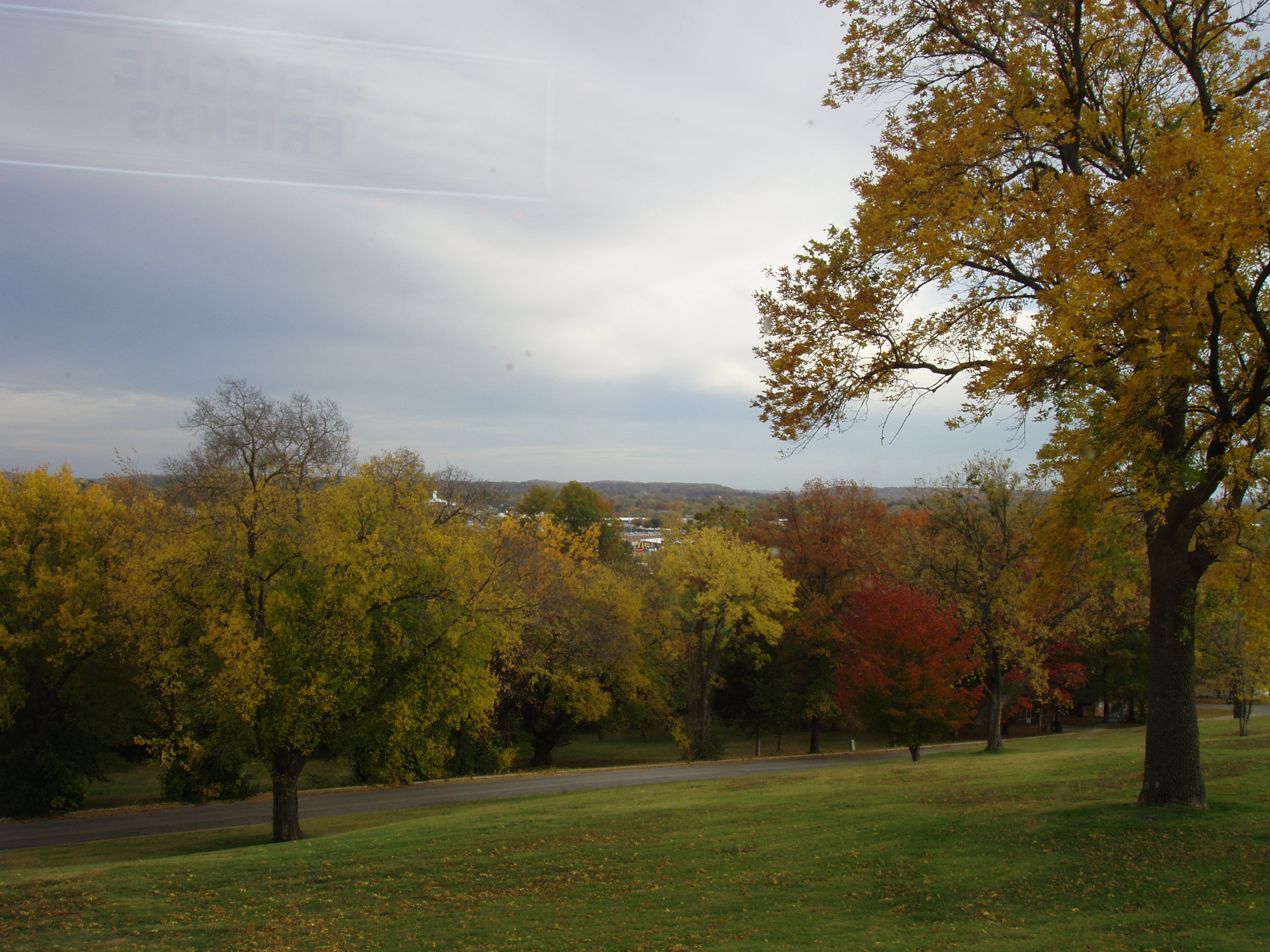
Talbert Hilltop View
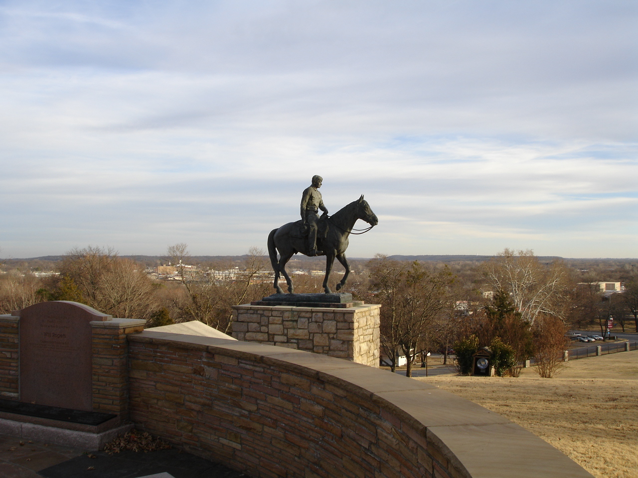
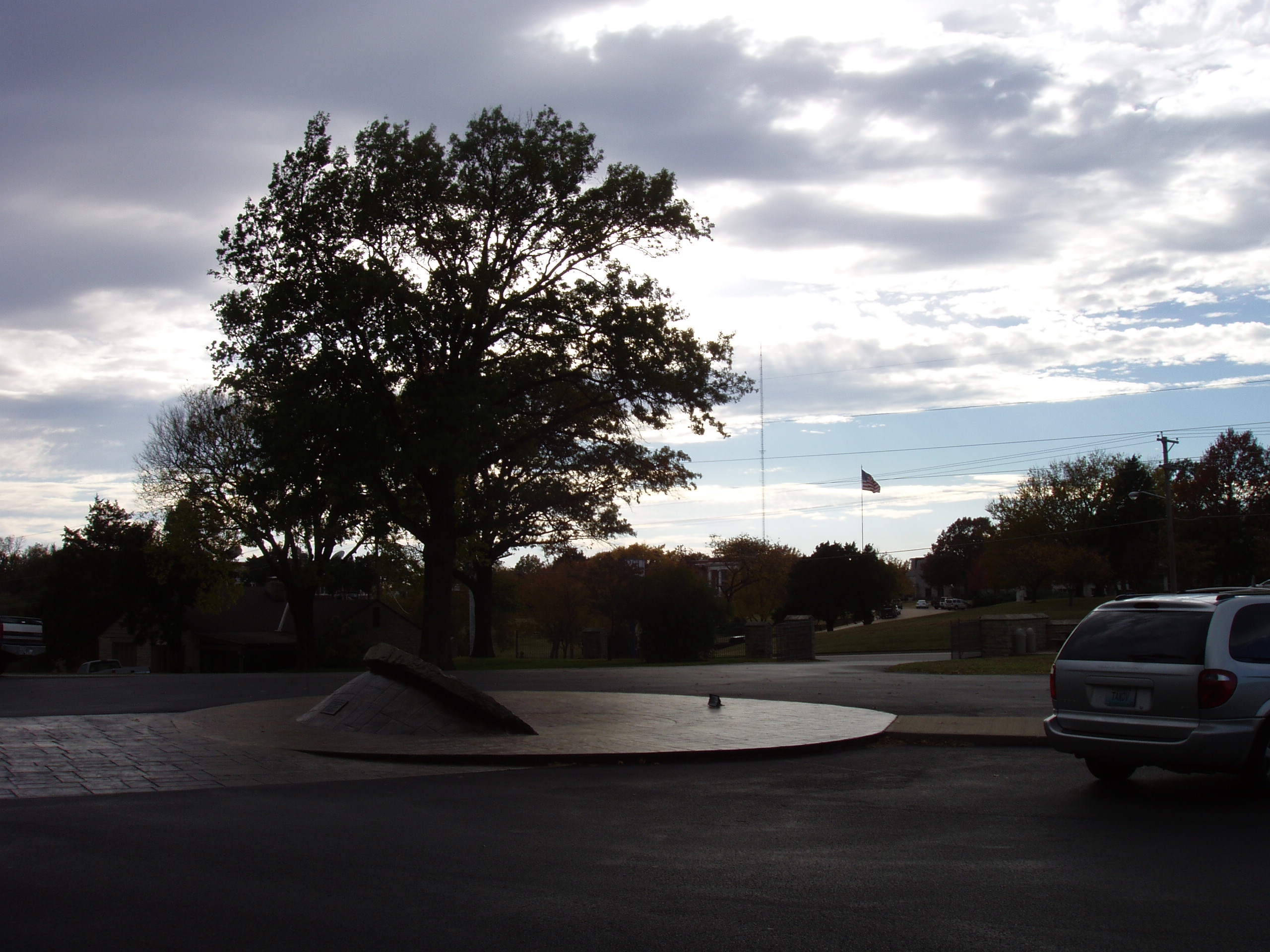
Will Rogers Memorial
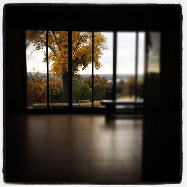
The View From Here
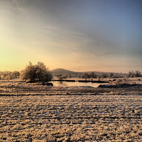
Just a view of the frozen tundra.
view from the hill
view from memorial to RSU
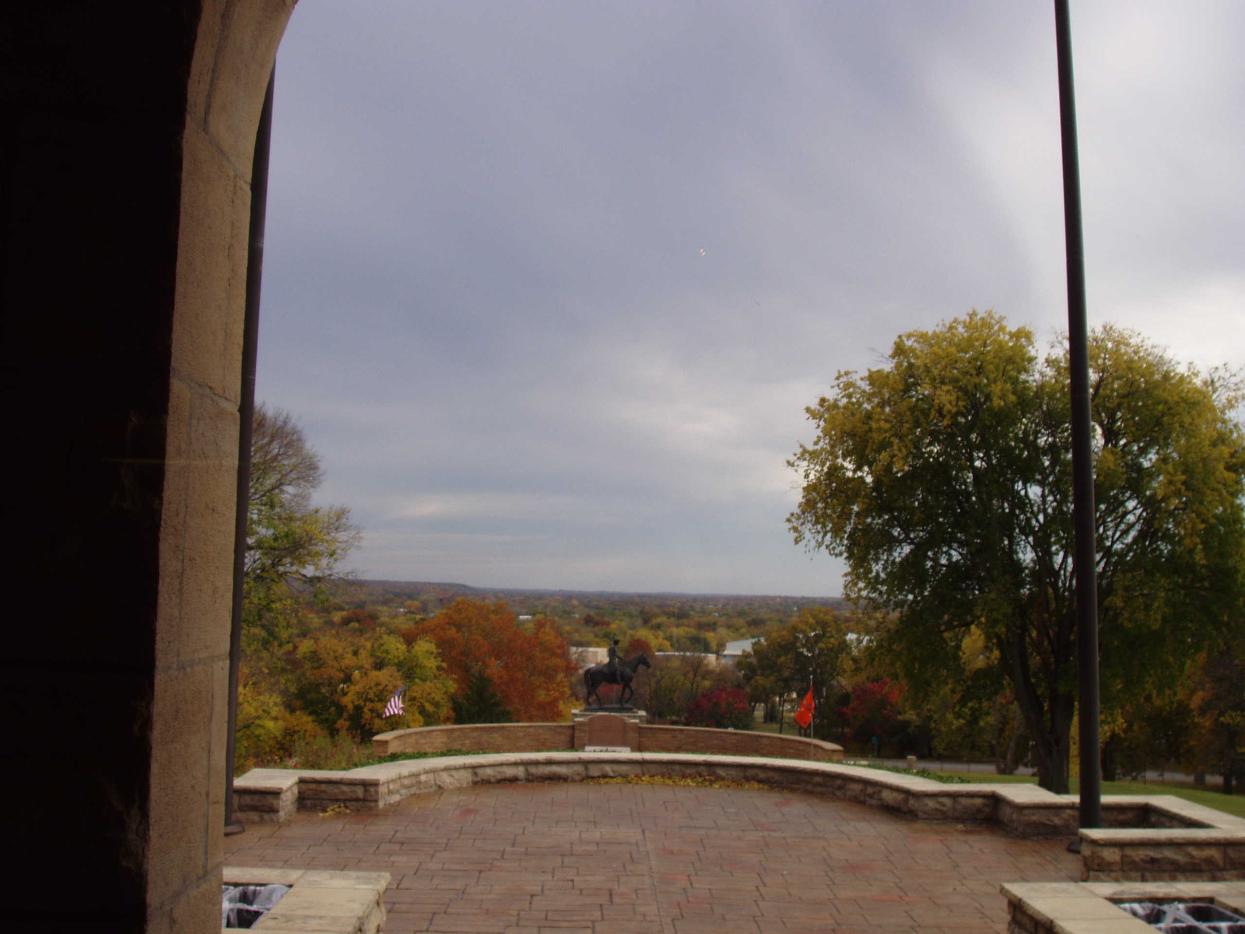
Will's view of his tomb

Road Trip: Totem Pole Park
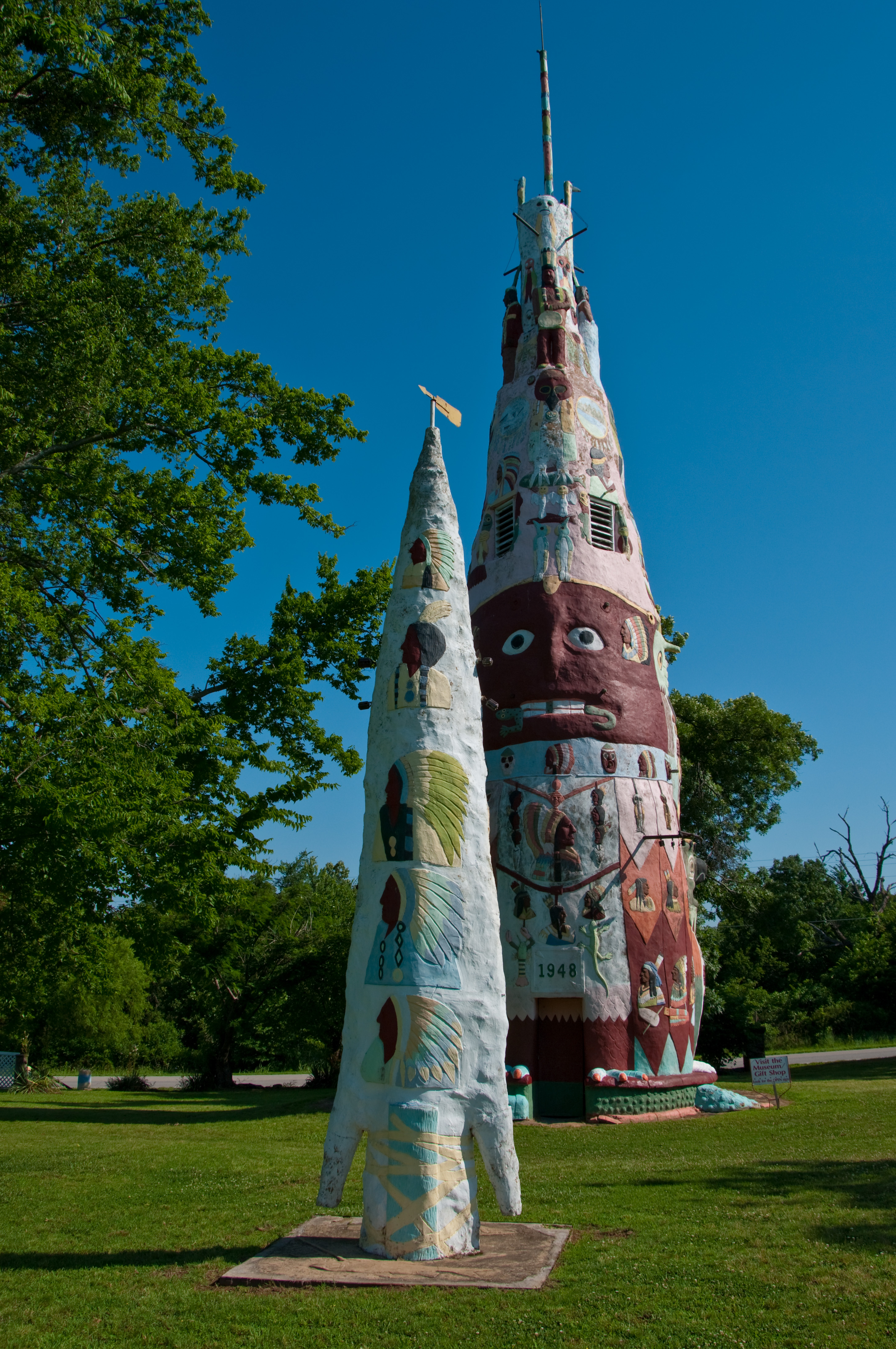
Road Trip: Totem Pole Park
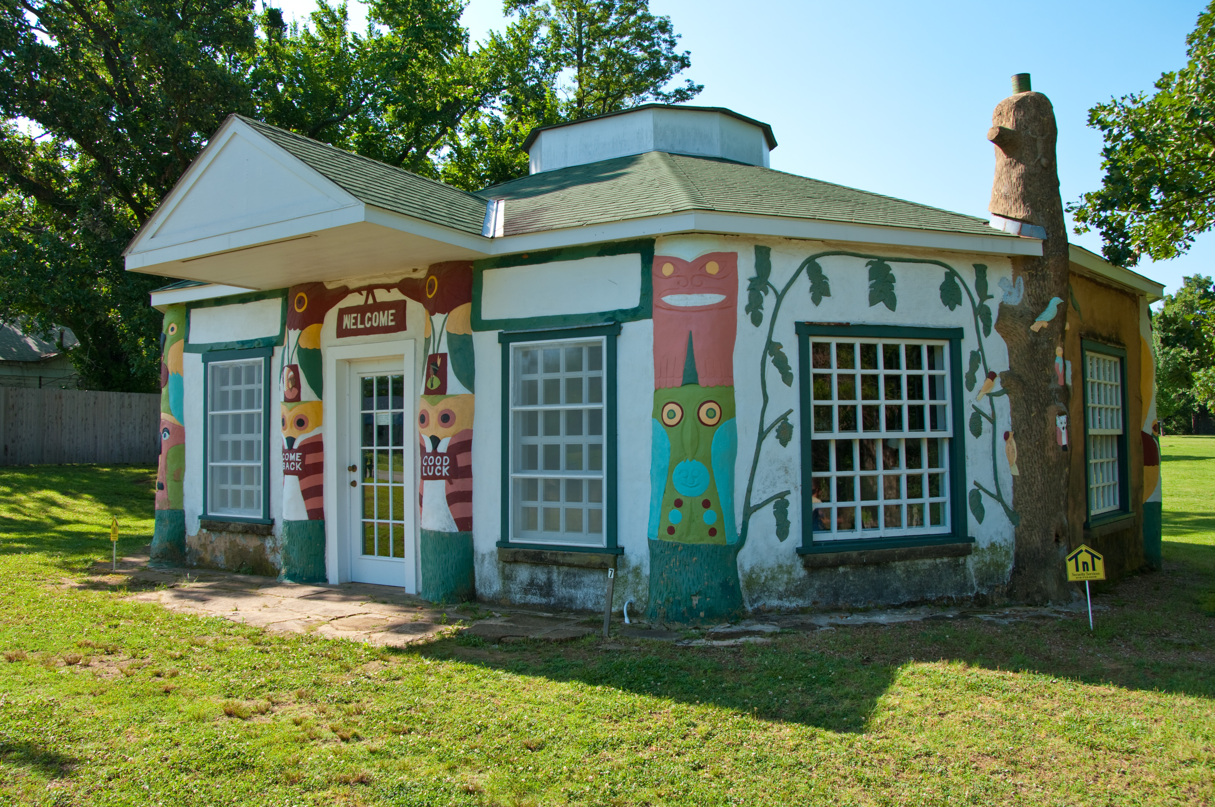
Road Trip: Totem Pole Park

Road Trip: Totem Pole Park
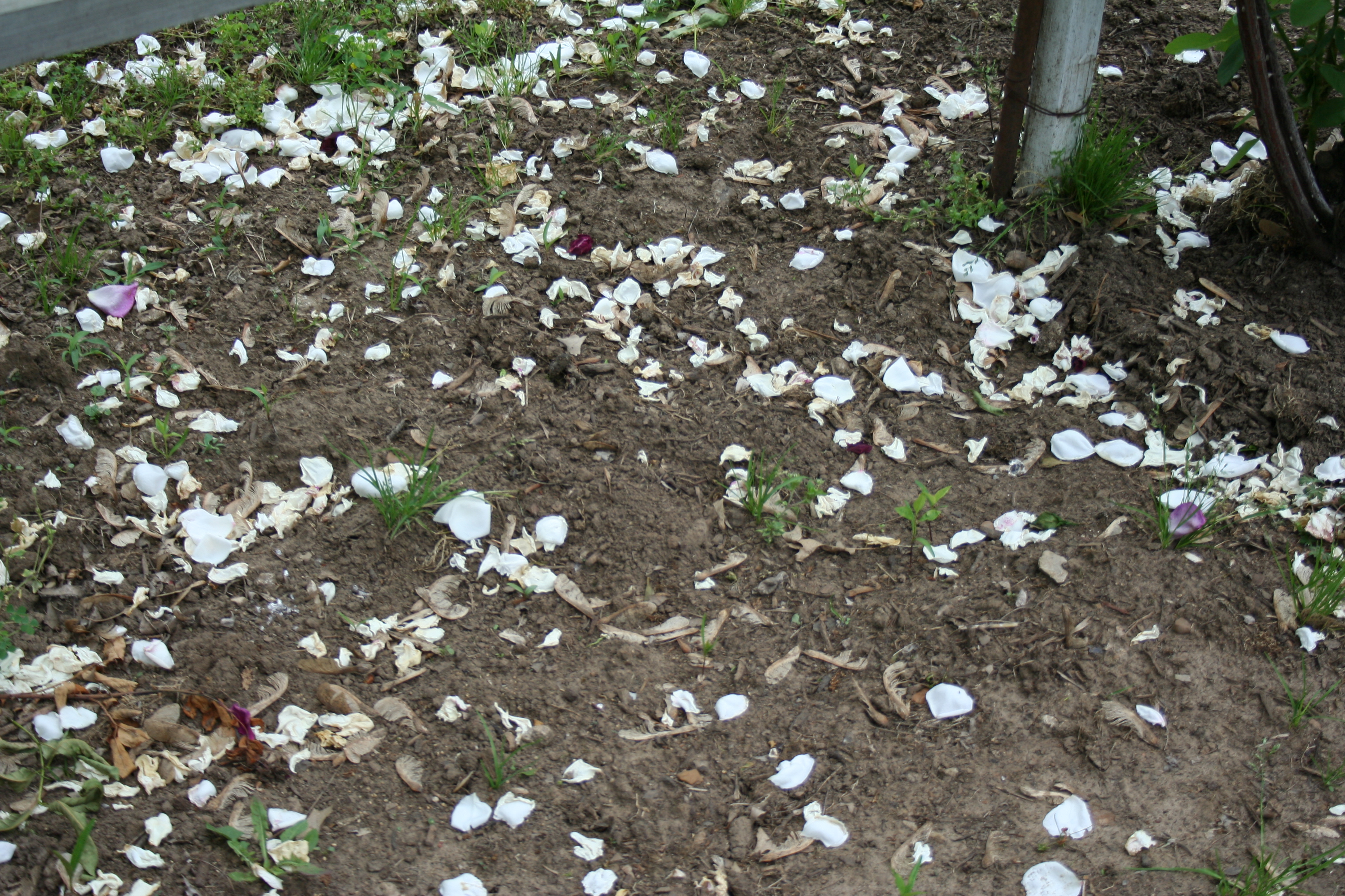
Roses in January: 4/31 (History)
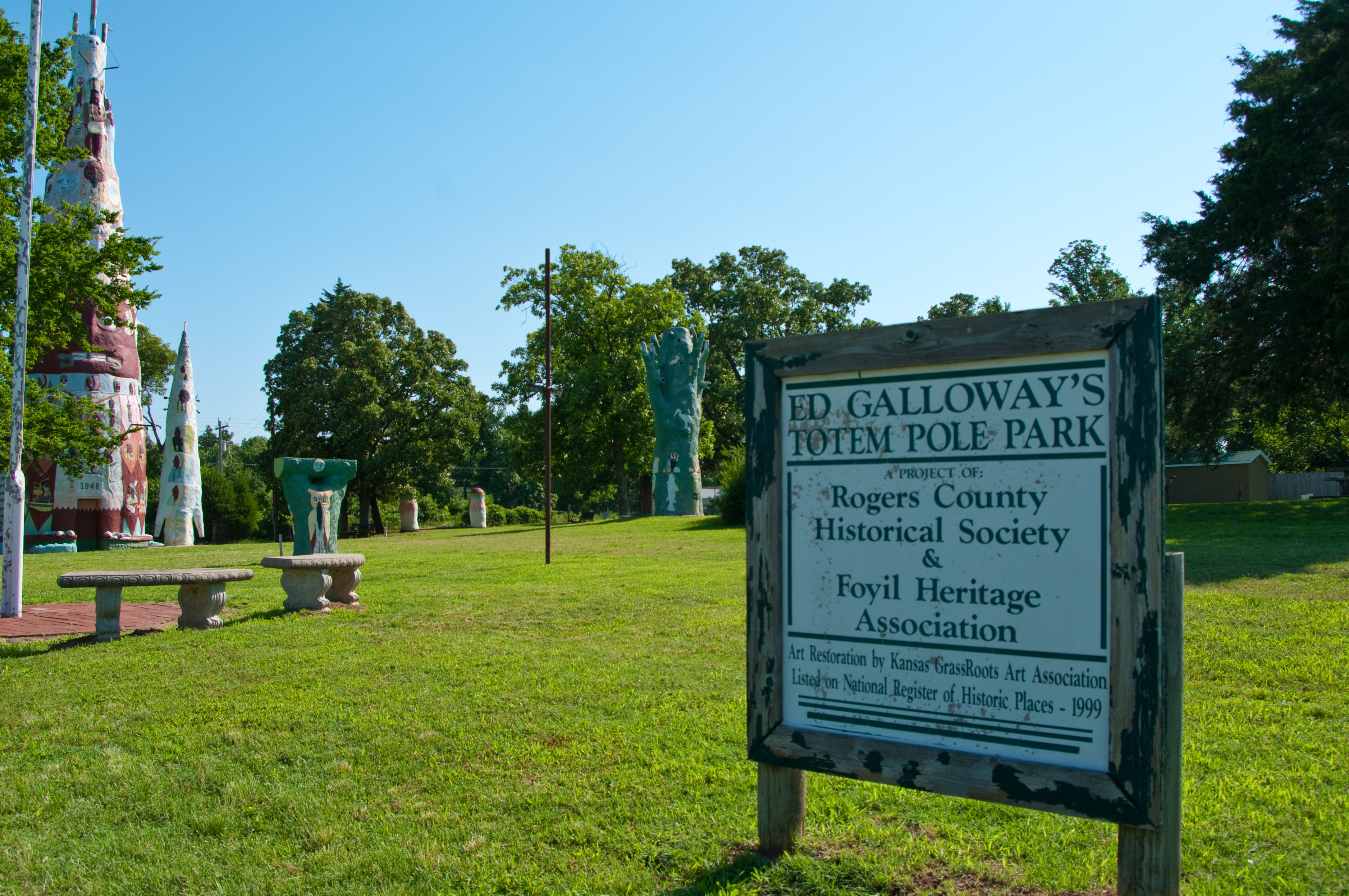
Road Trip: Totem Pole Park
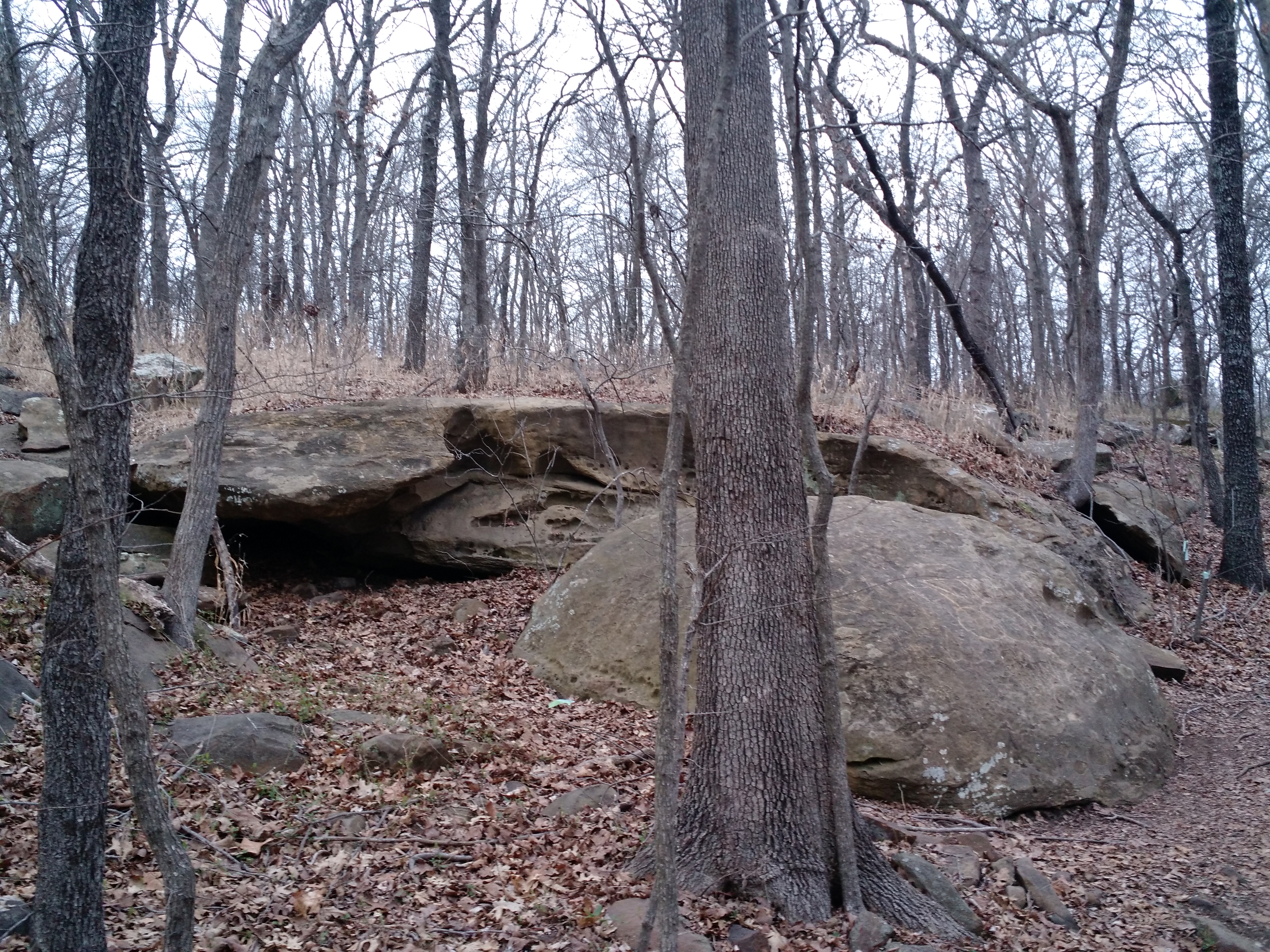
A hike in Claremore Oklahoma

Early Morning
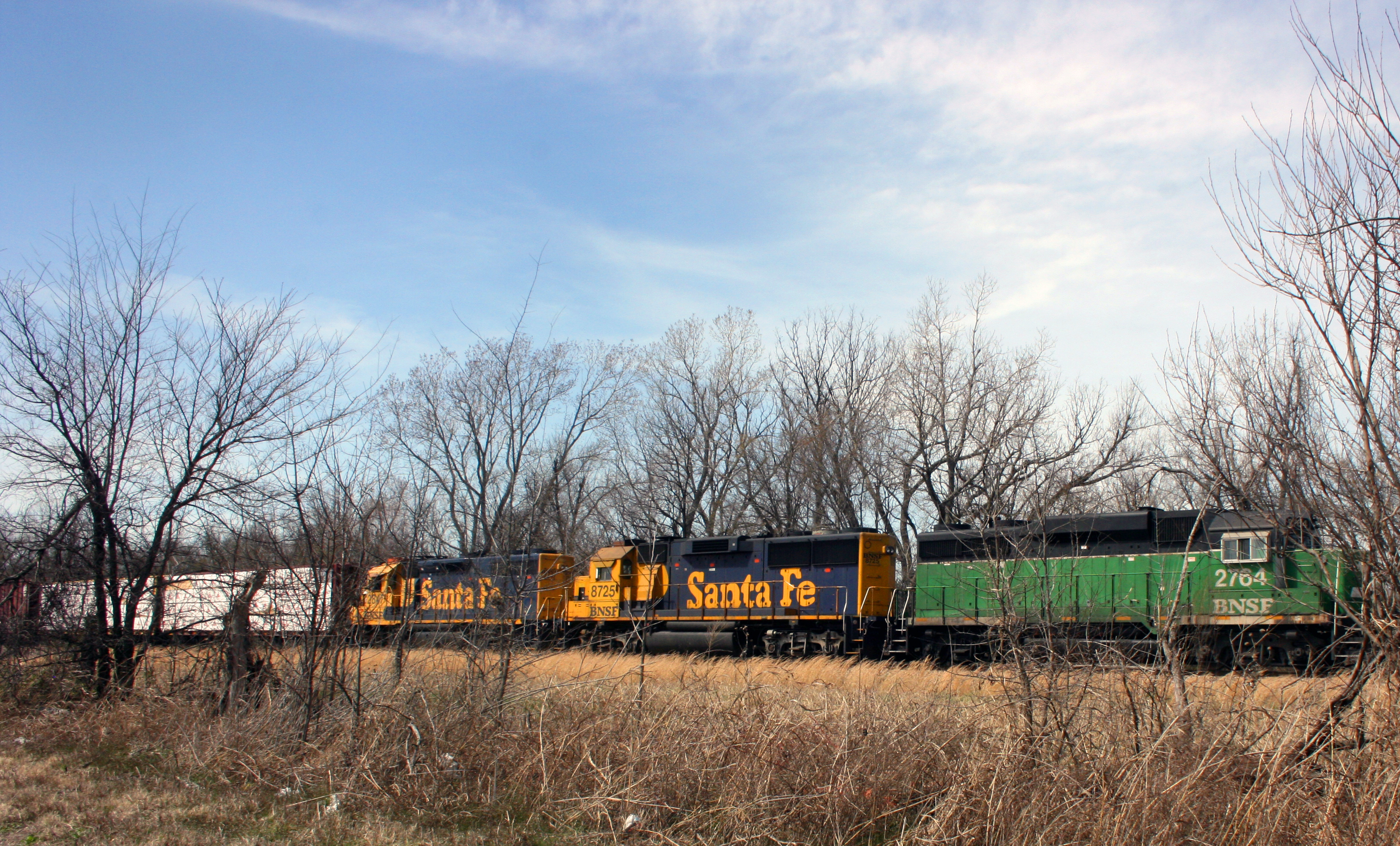
bnsf 1
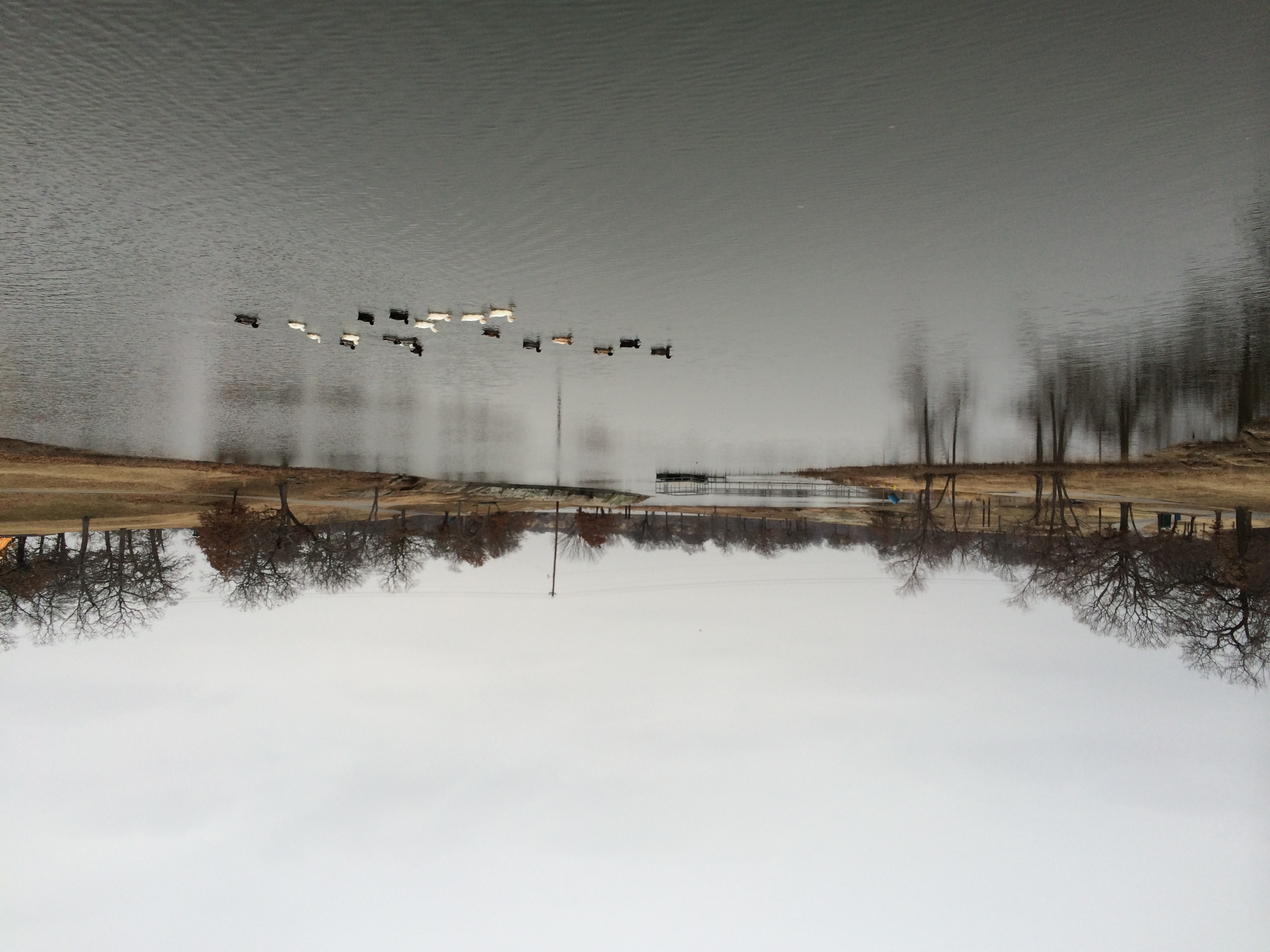
Claremore Lake
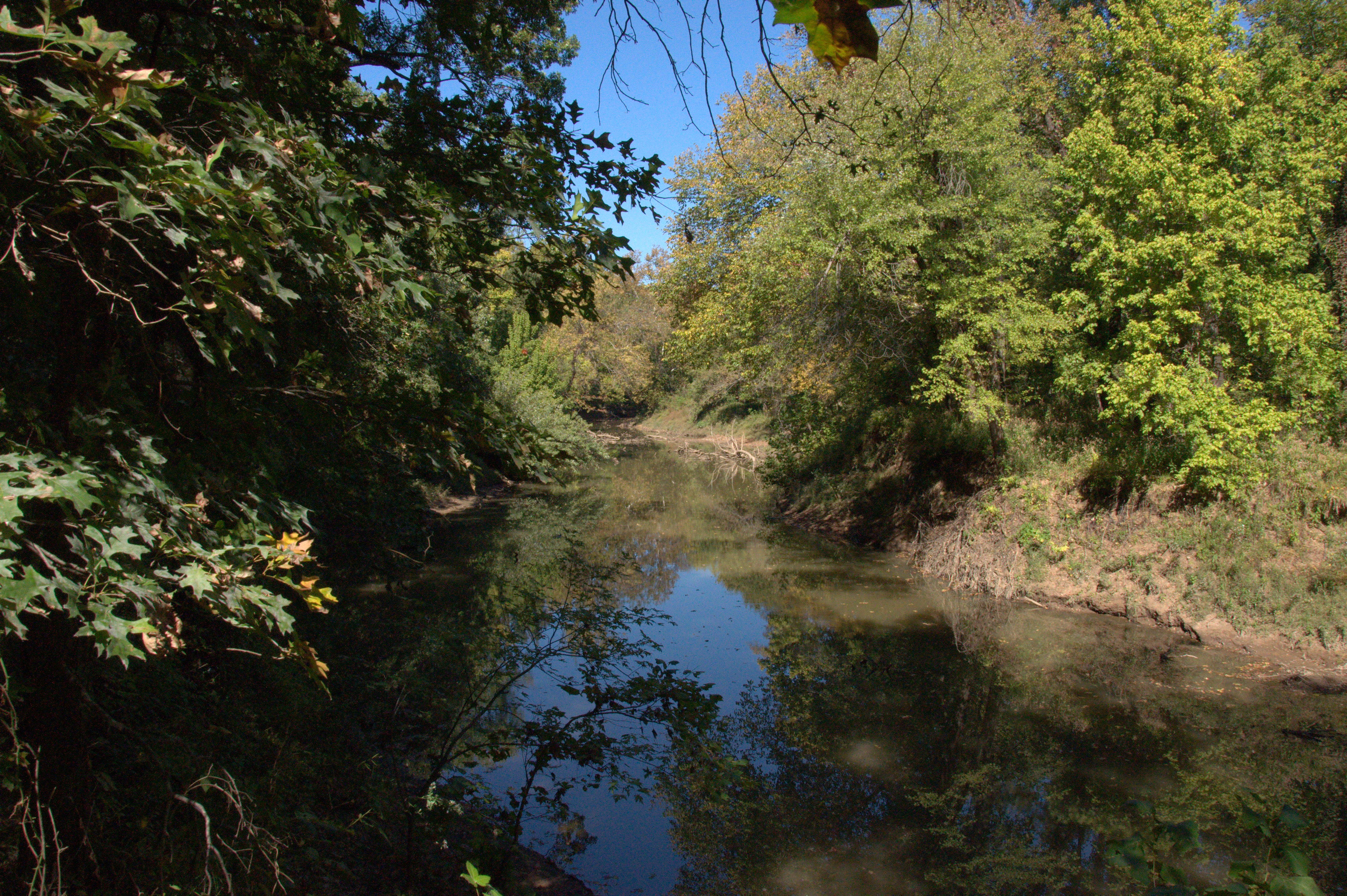
Pryor Creek
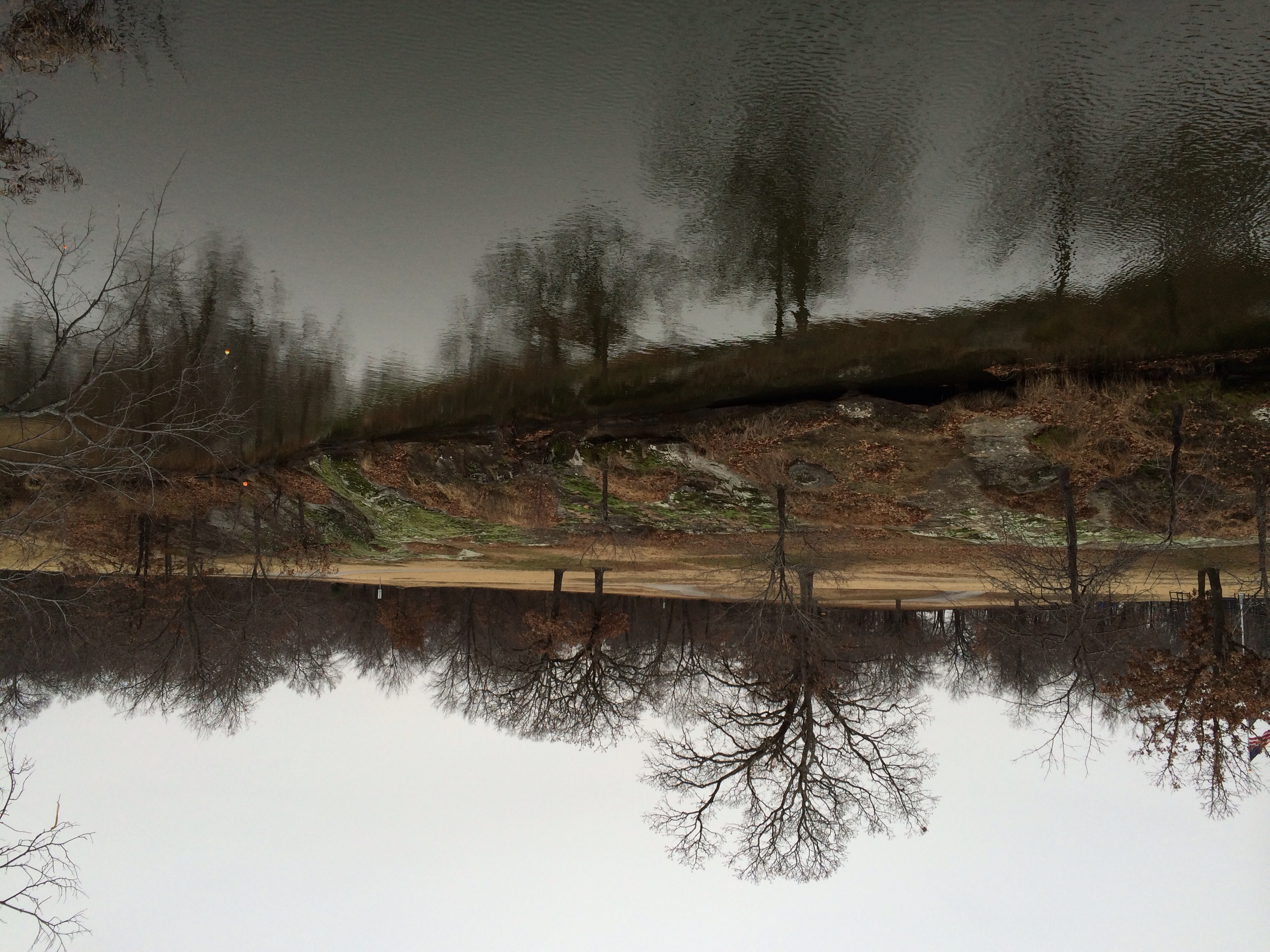
Claremore Lake
Topographic Map of OK-20, Claremore, OK, USA
Find elevation by address:

Places near OK-20, Claremore, OK, USA:
Northeast Tech - Pryor Campus
17295 E 480 Rd
20124 S 4190 Rd
20224 S 4180 Rd
Rogers County Pawn
East 20 Automotive
16215 S 4170 Rd
Foyil
Andy Payne Blvd, Claremore, OK, USA
Abbott Kennels/abbott Labradors
Claremore
Piercing Pagoda
1801 S Missouri Ave
Sen-fields Anita
Wallpaper & More
Pryor
La Quinta Inn & Suites Claremore
1205 W Cedar St
Chalet 1400 Apartments
Inola City Hall
Recent Searches:
- Elevation of Corso Fratelli Cairoli, 35, Macerata MC, Italy
- Elevation of Tallevast Rd, Sarasota, FL, USA
- Elevation of 4th St E, Sonoma, CA, USA
- Elevation of Black Hollow Rd, Pennsdale, PA, USA
- Elevation of Oakland Ave, Williamsport, PA, USA
- Elevation of Pedrógão Grande, Portugal
- Elevation of Klee Dr, Martinsburg, WV, USA
- Elevation of Via Roma, Pieranica CR, Italy
- Elevation of Tavkvetili Mountain, Georgia
- Elevation of Hartfords Bluff Cir, Mt Pleasant, SC, USA