Elevation of Abbott Kennels/Abbott Labradors, N, Adair, OK, USA
Location: United States > Oklahoma > Mayes County > Adair >
Longitude: -95.363790
Latitude: 36.4021399
Elevation: 214m / 702feet
Barometric Pressure: 99KPa
Elevation Map:
Satellite Map:
Related Photos:

Road Trip: Totem Pole Park

Road Trip: Totem Pole Park

Road Trip: Totem Pole Park

Road Trip: Totem Pole Park

Road Trip: Totem Pole Park

Sunset Panoramic view

Just a view of the frozen tundra.

Barn view II

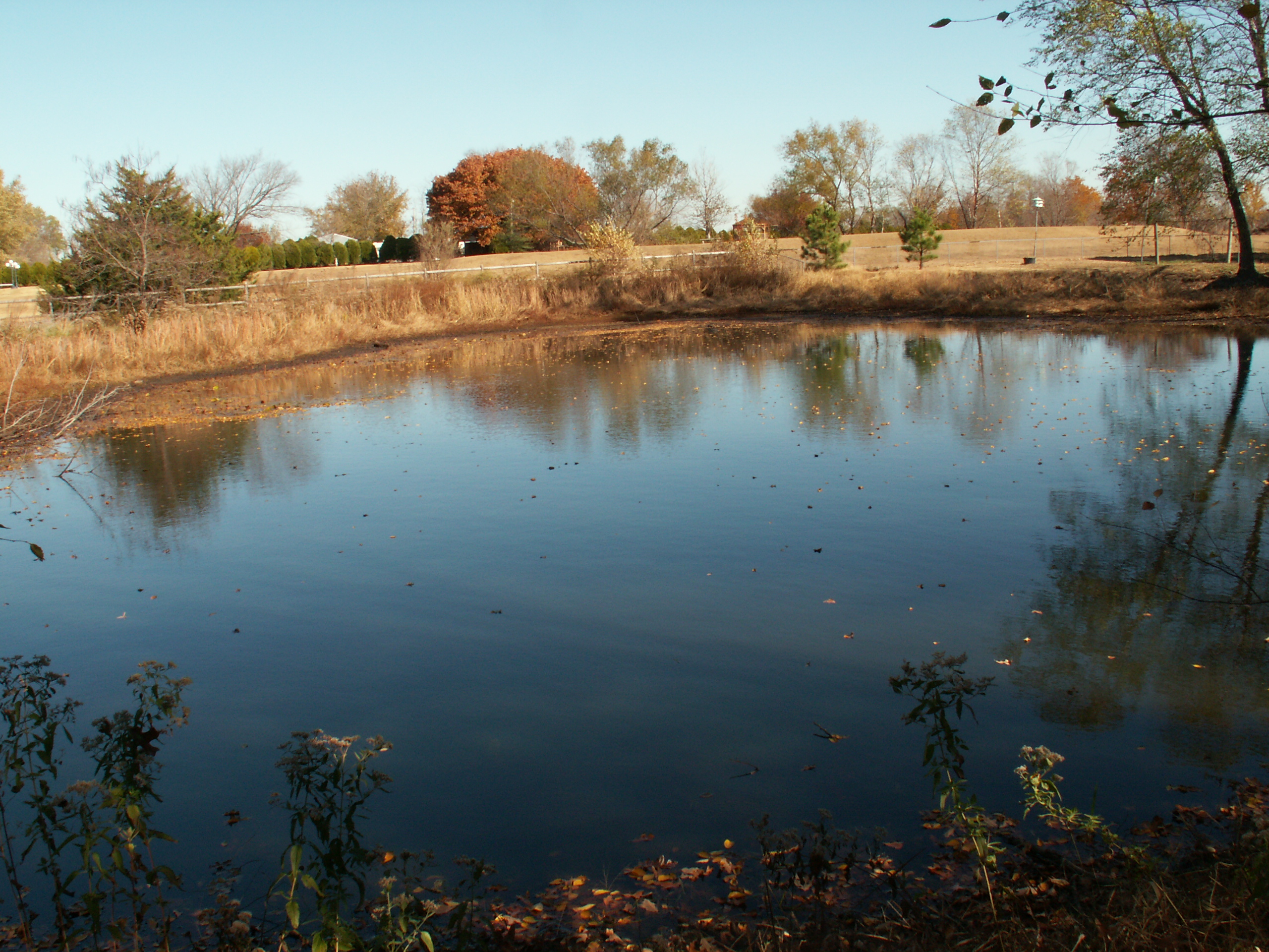
My pond (view)

Freight Train Through Chelsea

Pryor Creek

_DSC7899 (Copy)

golden hour

Liatris in field
Pond photo

Sunrise Oct 30th(2)(2)(2)

rudbeckiaglade-1

rudbeckiagrandiflora-1
Topographic Map of Abbott Kennels/Abbott Labradors, N, Adair, OK, USA
Find elevation by address:

Places near Abbott Kennels/Abbott Labradors, N, Adair, OK, USA:
Adair
Pryor
Wallpaper & More
Northeast Tech - Pryor Campus
OK-20, Claremore, OK, USA
Foyil
Andy Payne Blvd, Claremore, OK, USA
17295 E 480 Rd
Mayes County
20124 S 4190 Rd
20224 S 4180 Rd
16215 S 4170 Rd
Salina
Rogers County Pawn
East 20 Automotive
1266 Ne 4418
Cabin Creek Battlefield
Lake Hudson
Claremore
Sen-fields Anita
Recent Searches:
- Elevation of Corso Fratelli Cairoli, 35, Macerata MC, Italy
- Elevation of Tallevast Rd, Sarasota, FL, USA
- Elevation of 4th St E, Sonoma, CA, USA
- Elevation of Black Hollow Rd, Pennsdale, PA, USA
- Elevation of Oakland Ave, Williamsport, PA, USA
- Elevation of Pedrógão Grande, Portugal
- Elevation of Klee Dr, Martinsburg, WV, USA
- Elevation of Via Roma, Pieranica CR, Italy
- Elevation of Tavkvetili Mountain, Georgia
- Elevation of Hartfords Bluff Cir, Mt Pleasant, SC, USA