Elevation of OH-, Eaton, OH, USA
Location: United States > Ohio > Preble County > Lanier Township >
Longitude: -84.576367
Latitude: 39.688088
Elevation: 289m / 948feet
Barometric Pressure: 98KPa
Elevation Map:
Satellite Map:
Related Photos:

Twin Valley Cemetery

Twin Valley Cemetery

Twin Valley Cemetery

Twin Valley Cemetery
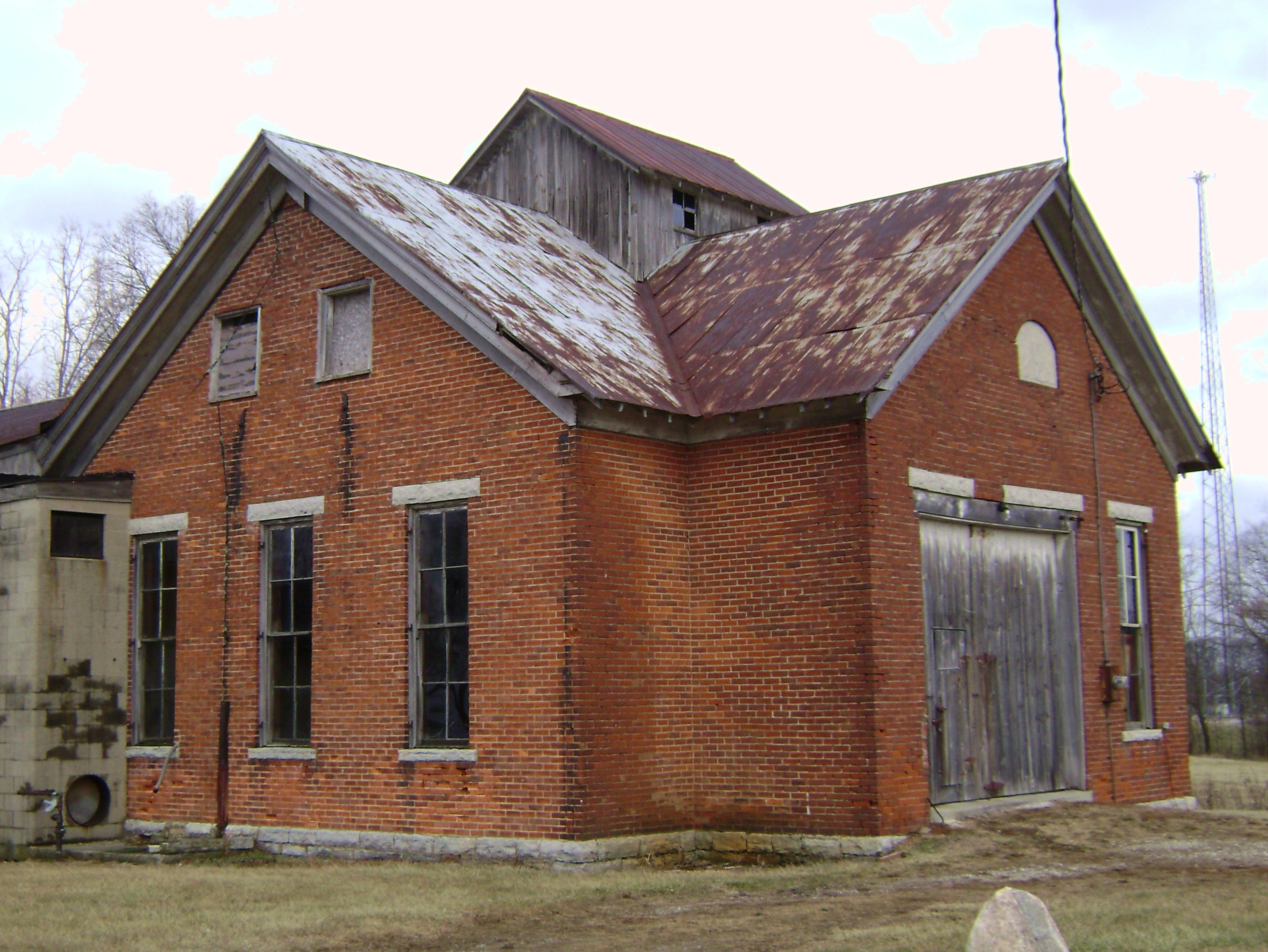
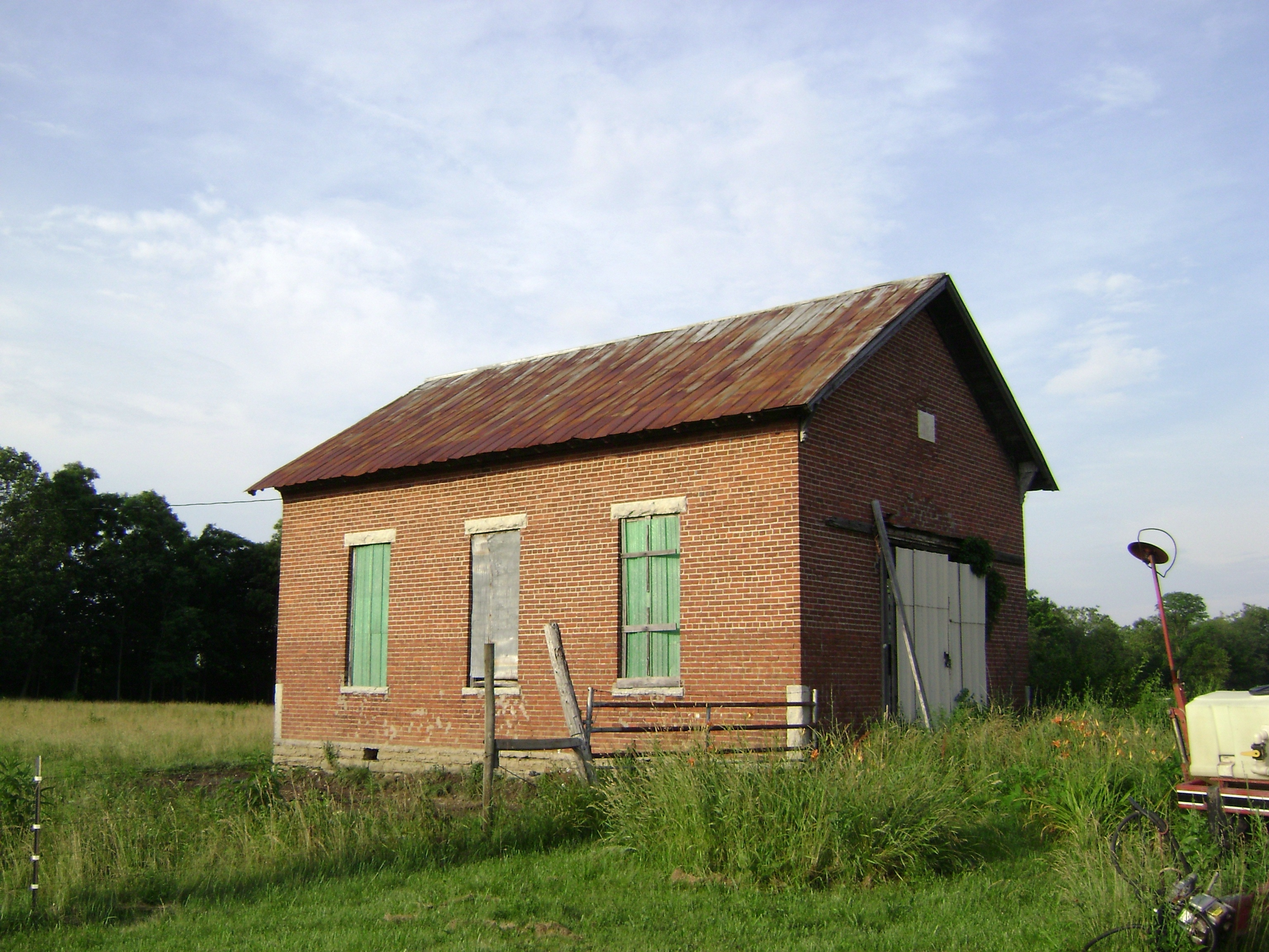
Oklahoma, Ohio- Washington Twp. Number 4 Schoolhouse

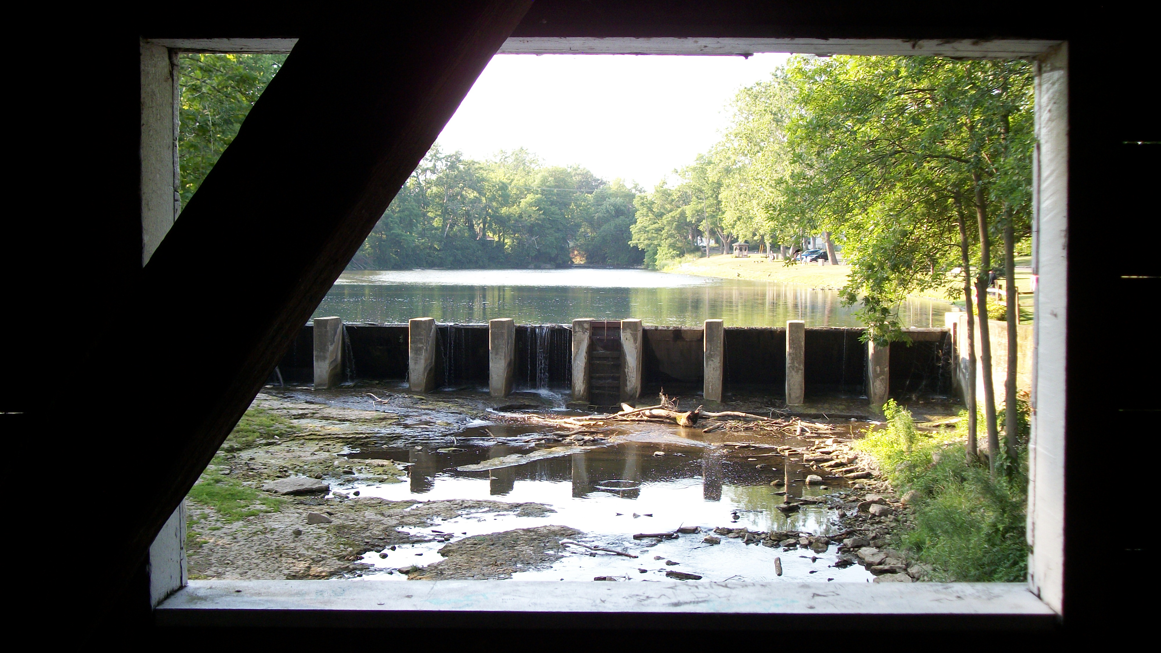
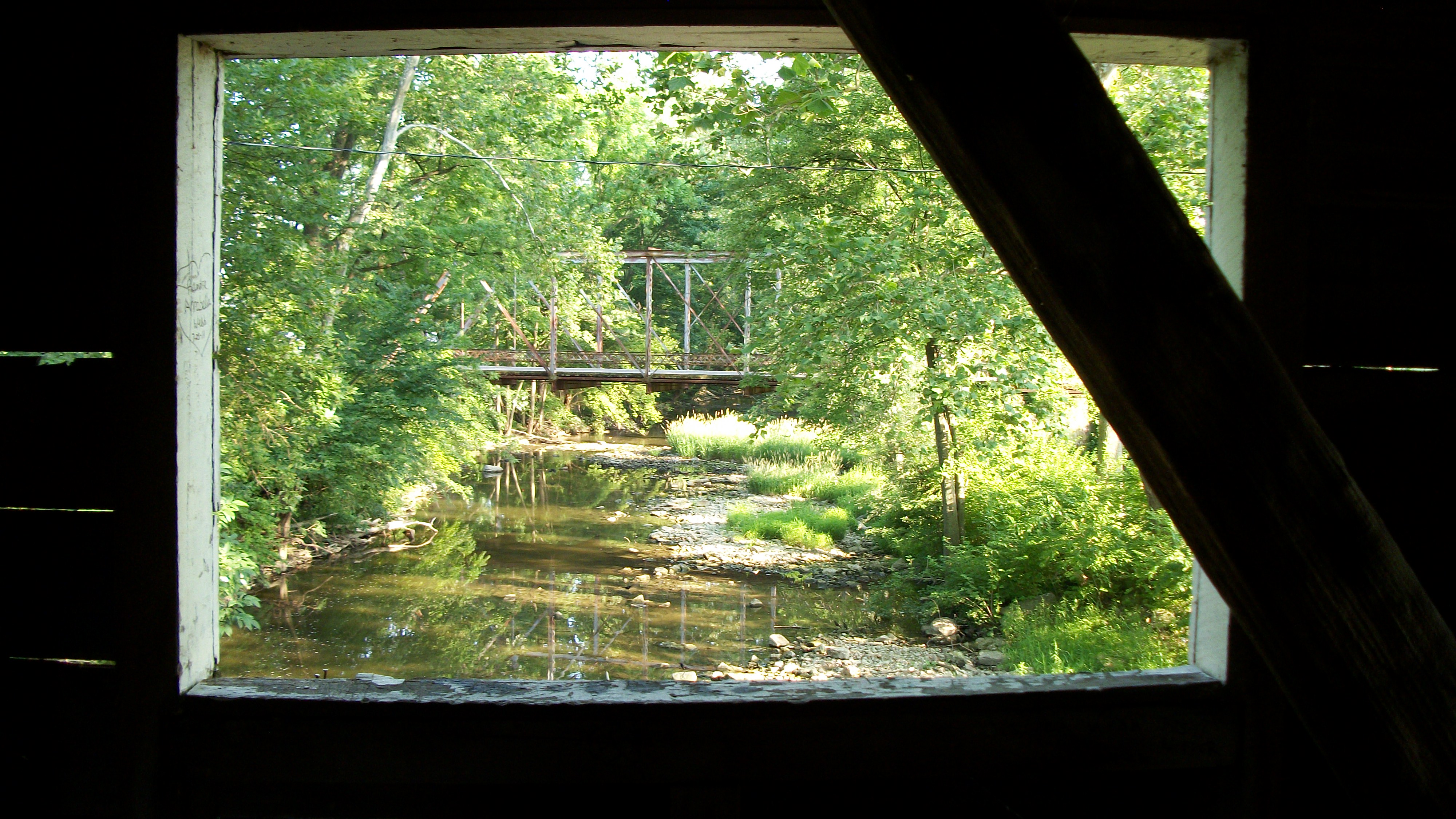
Roberts Covered Bridge, barrel view

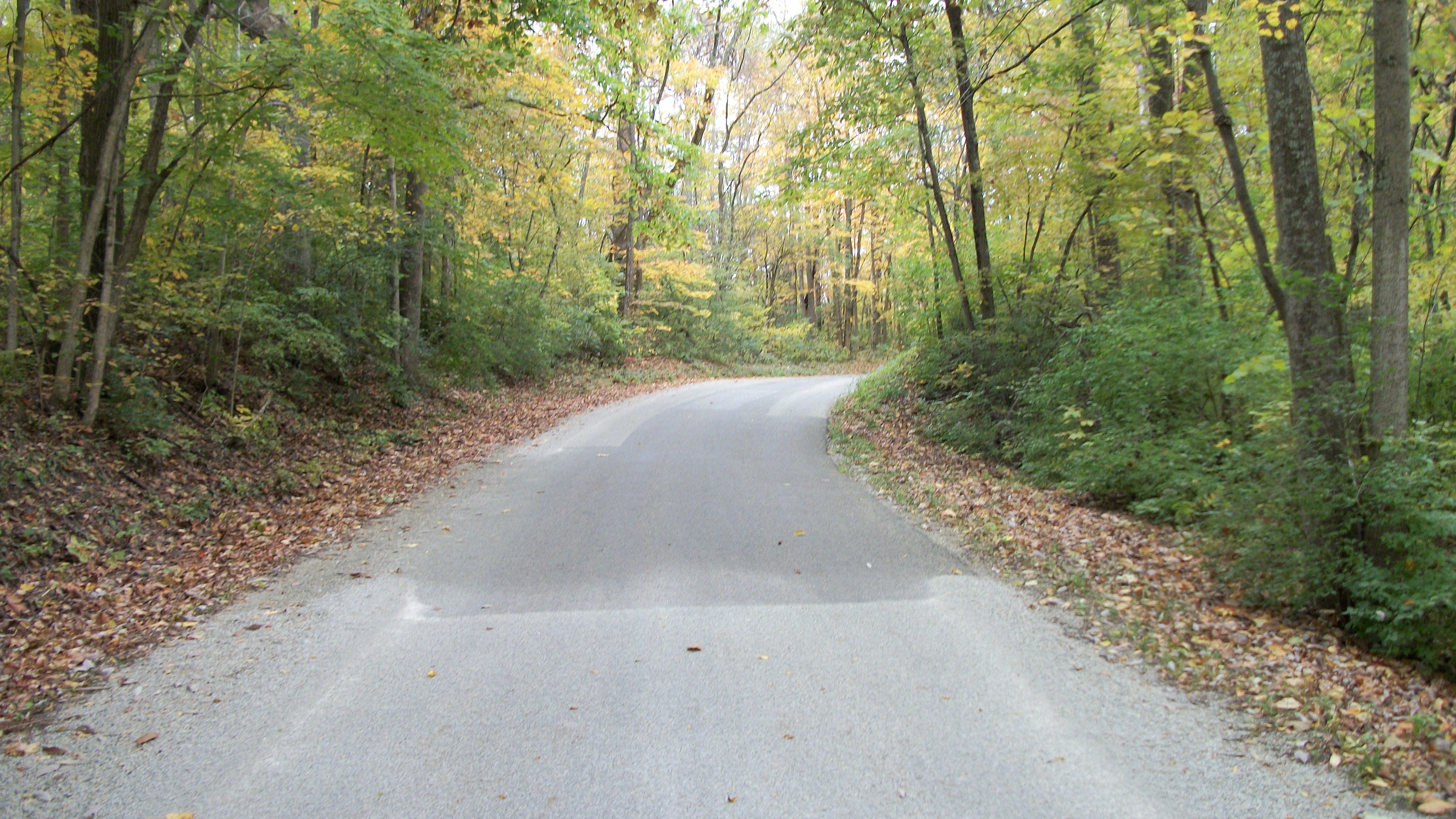
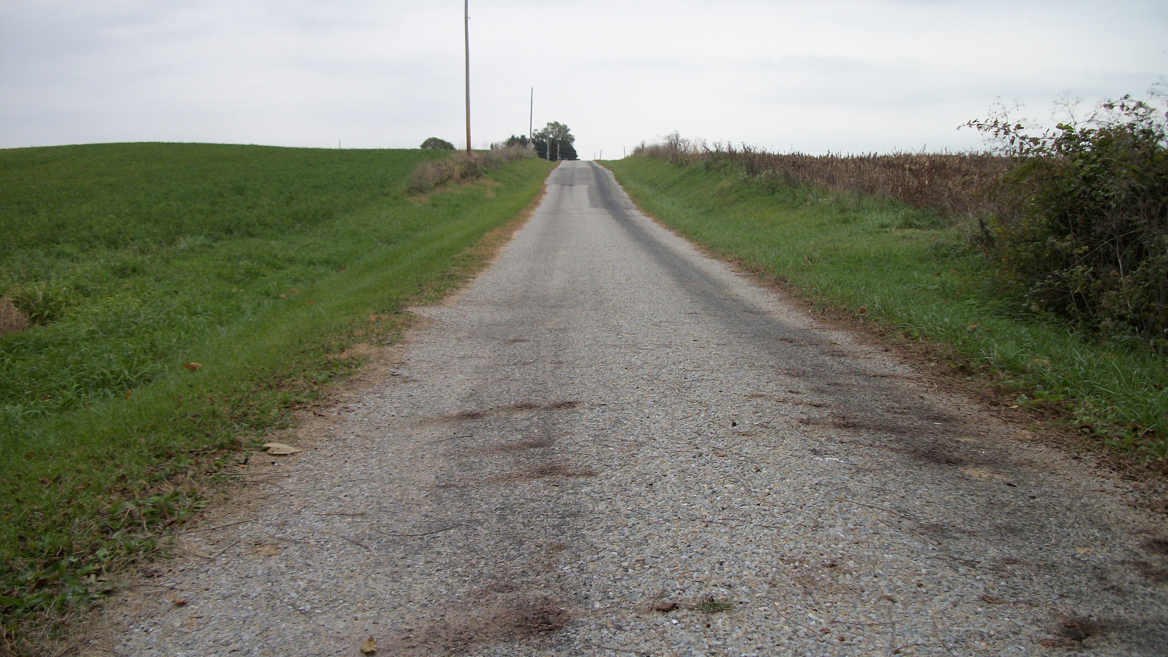
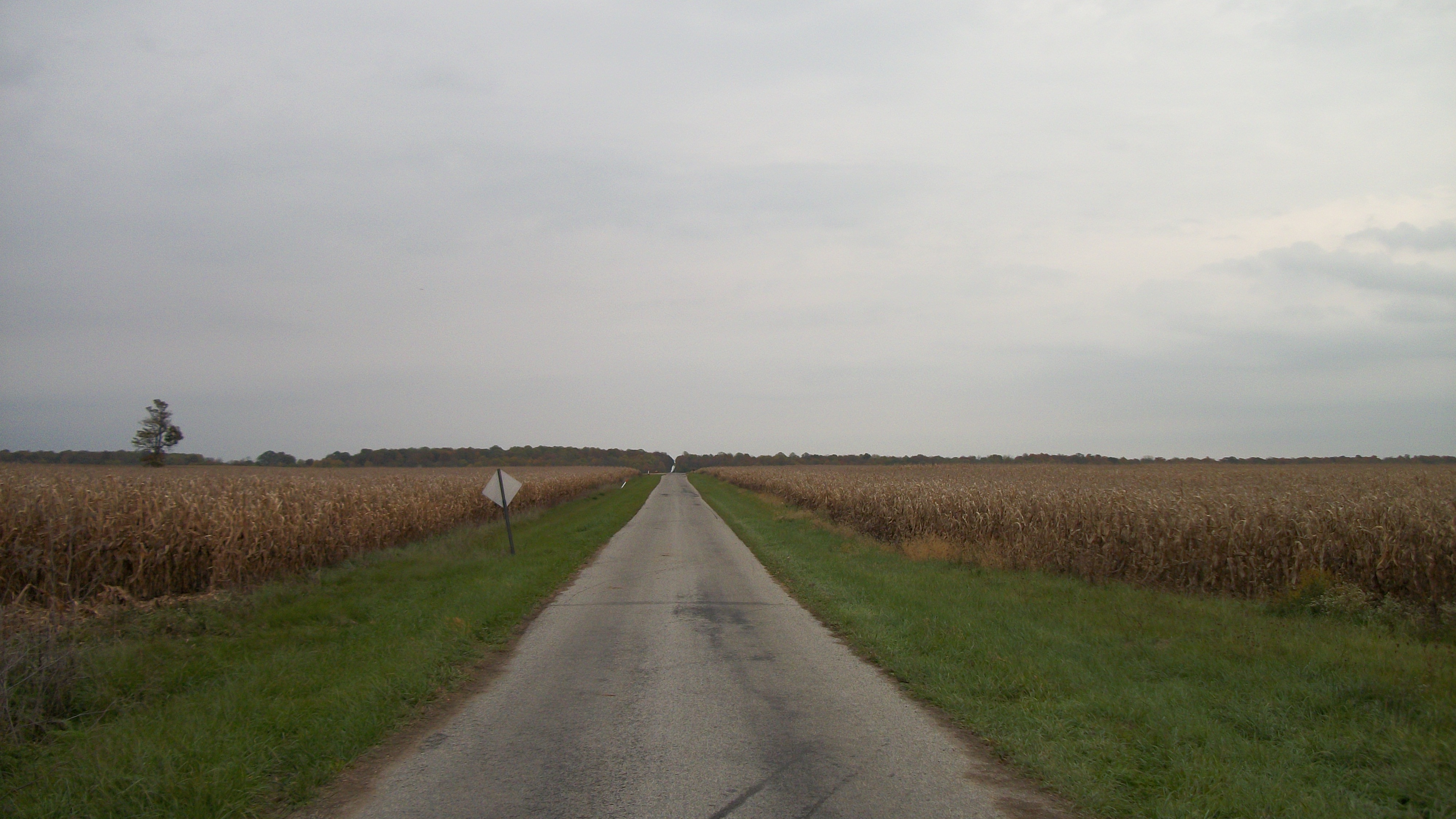
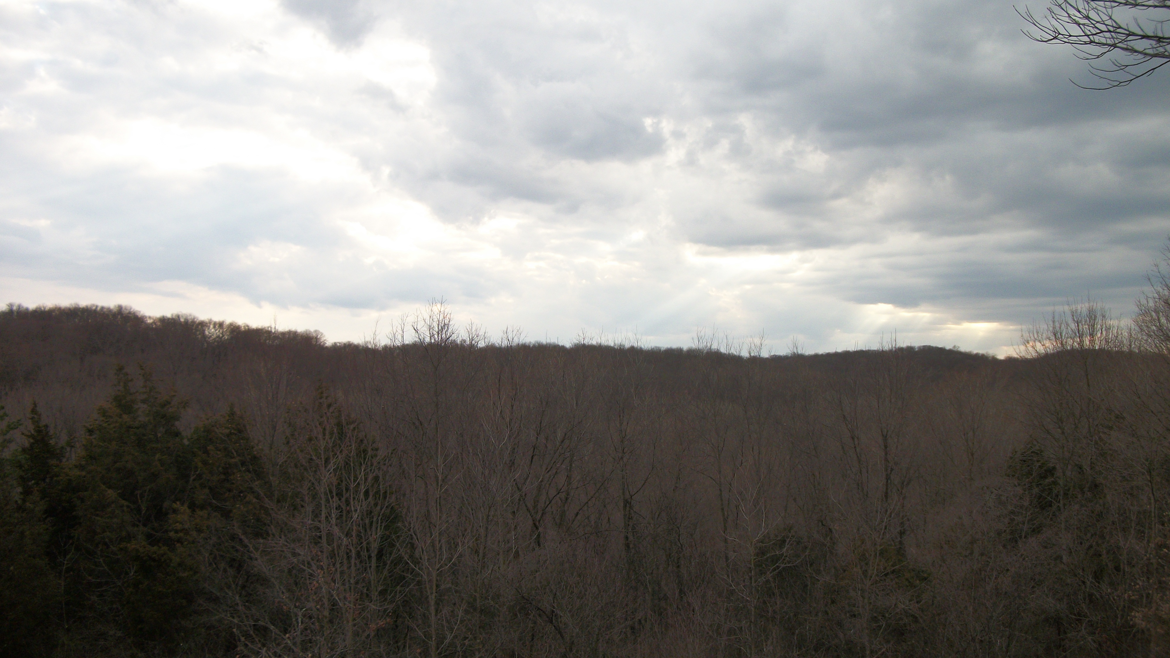
Ohio backroad
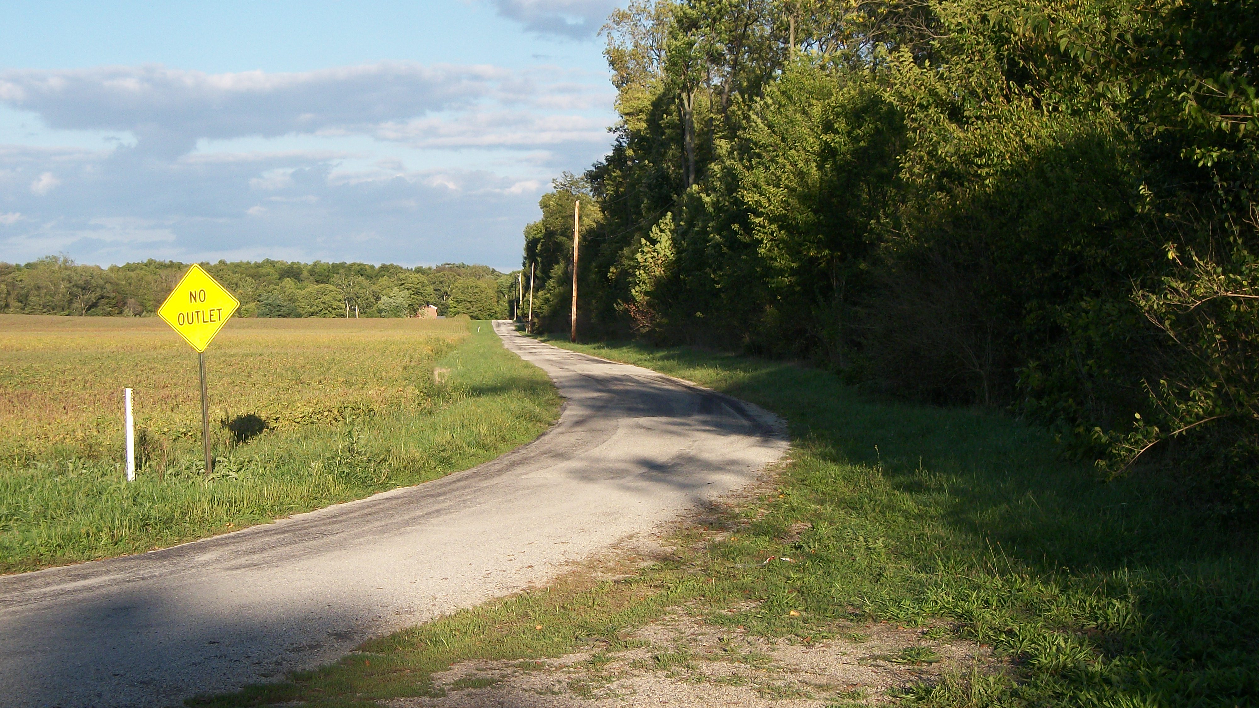
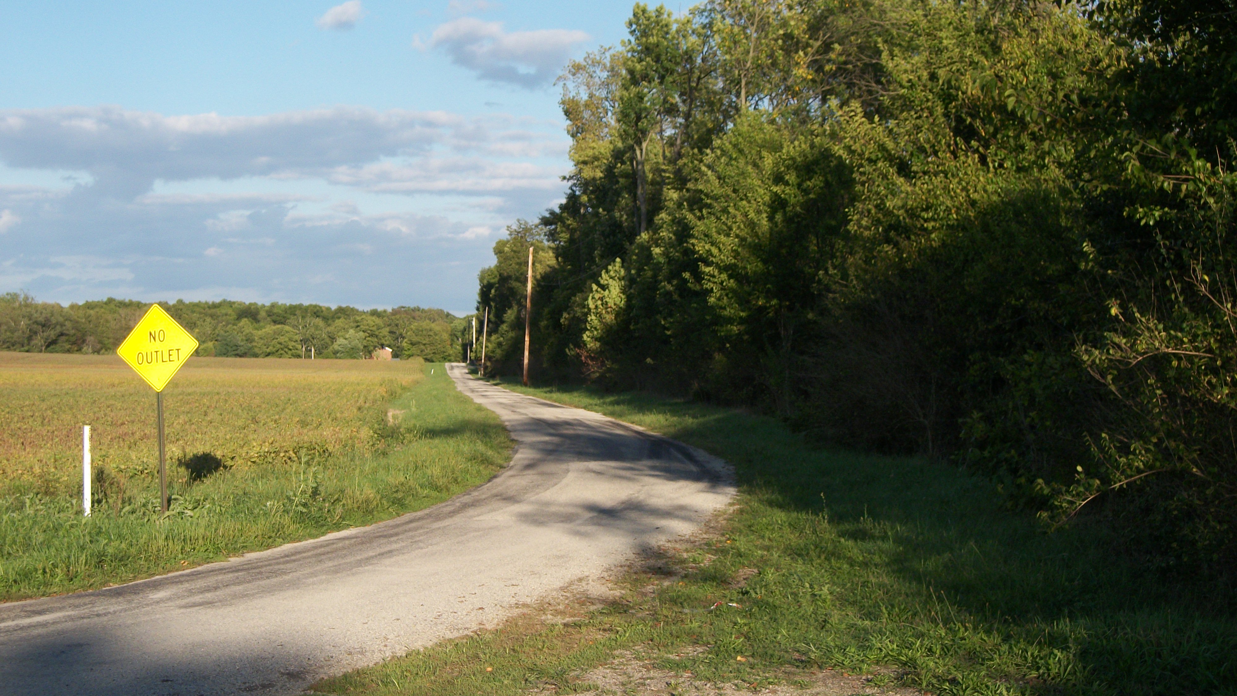
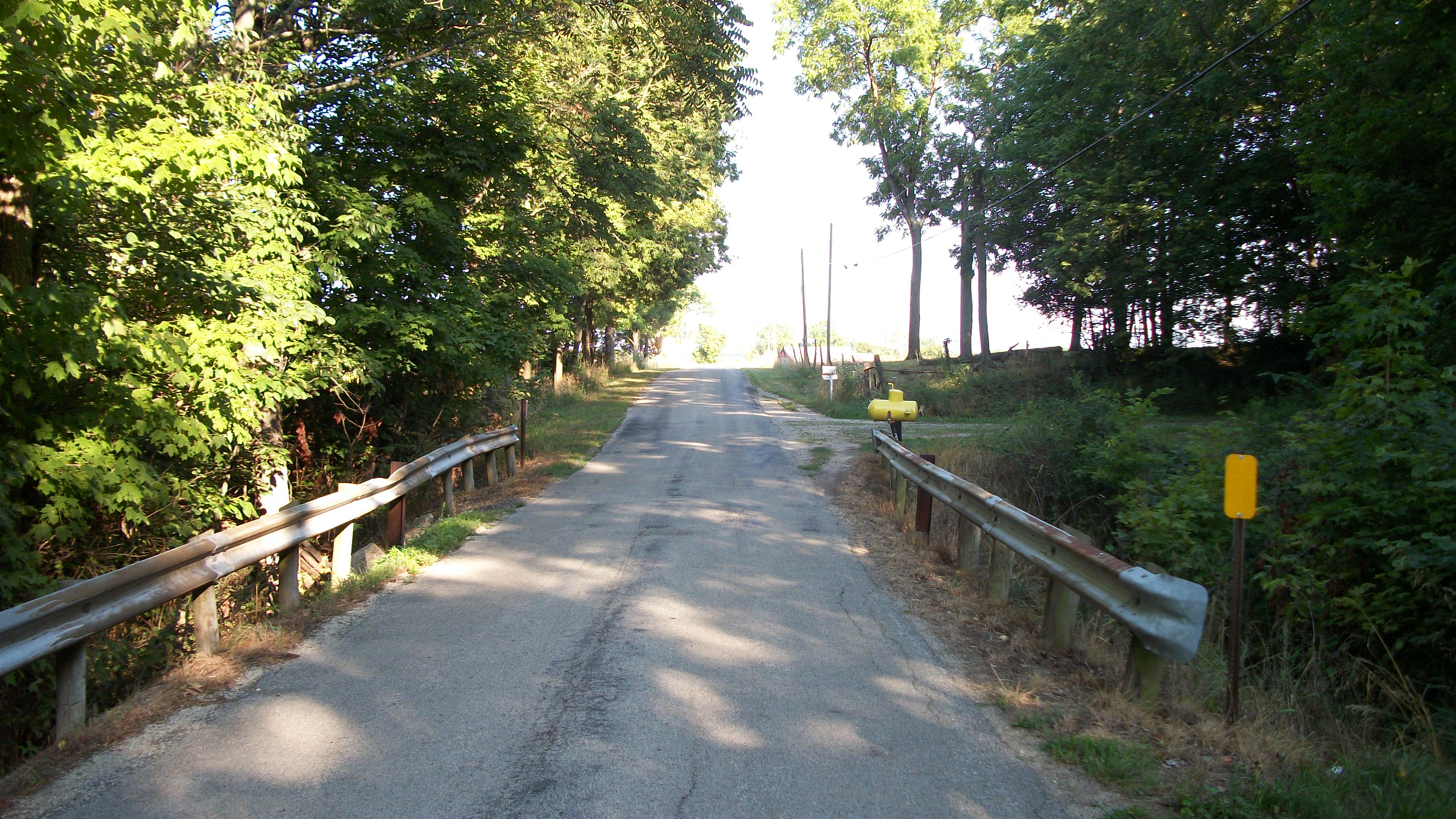
Gasper Somers Road

Paint Creek 4 Mile Road

Israel Somers Road
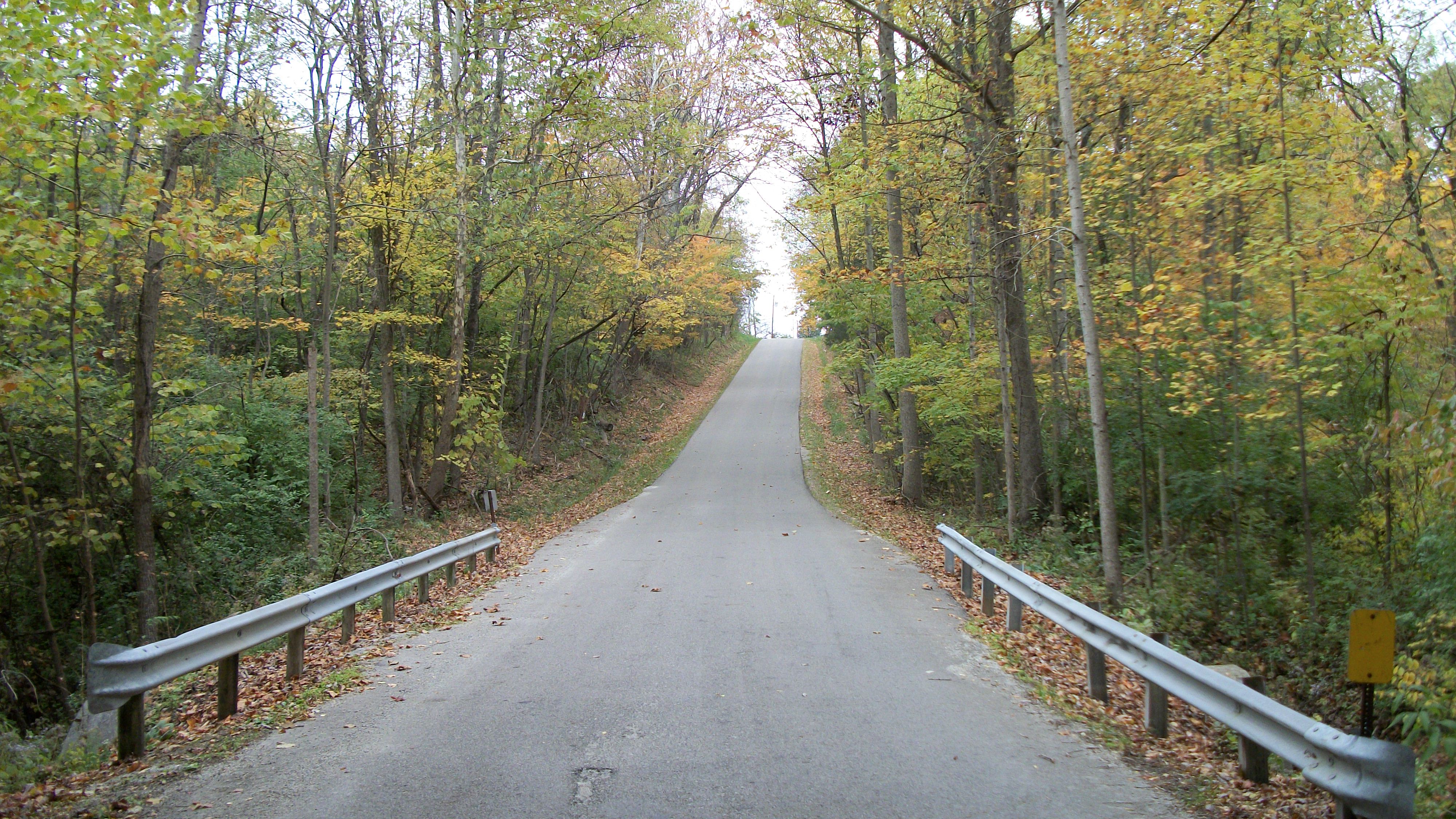
Country Road near Brubaker Bridge
The Roberts Bridge
Israel Somers Road
Gasper Somers Road
Brubaker Road
The Roberts Bridge
Wheatville, Ohio- Andrews Schoolhouse
Is That a Yellow Submarine?
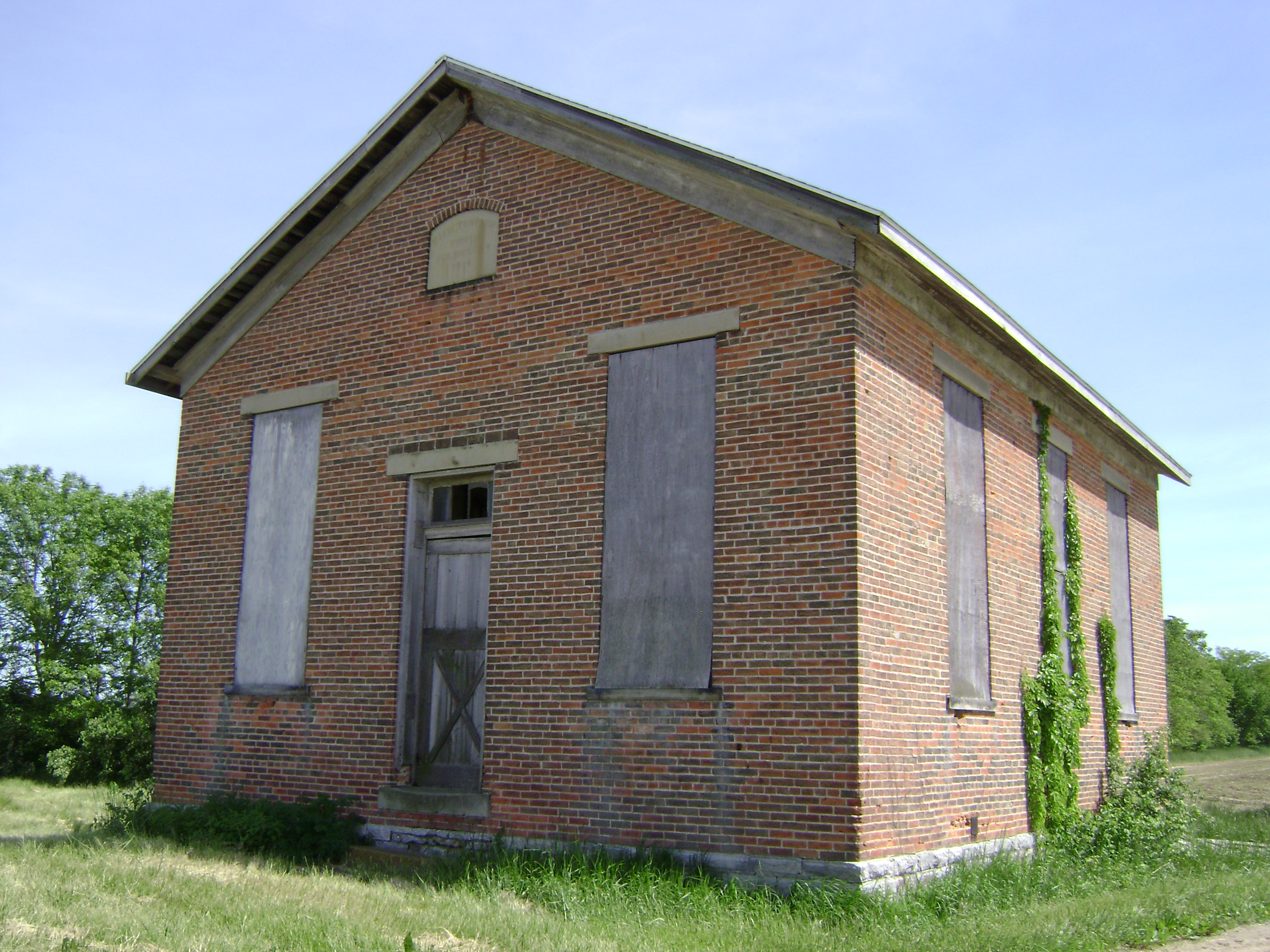
Somerville, Ohio- Pleasant Grove Schoolhouse
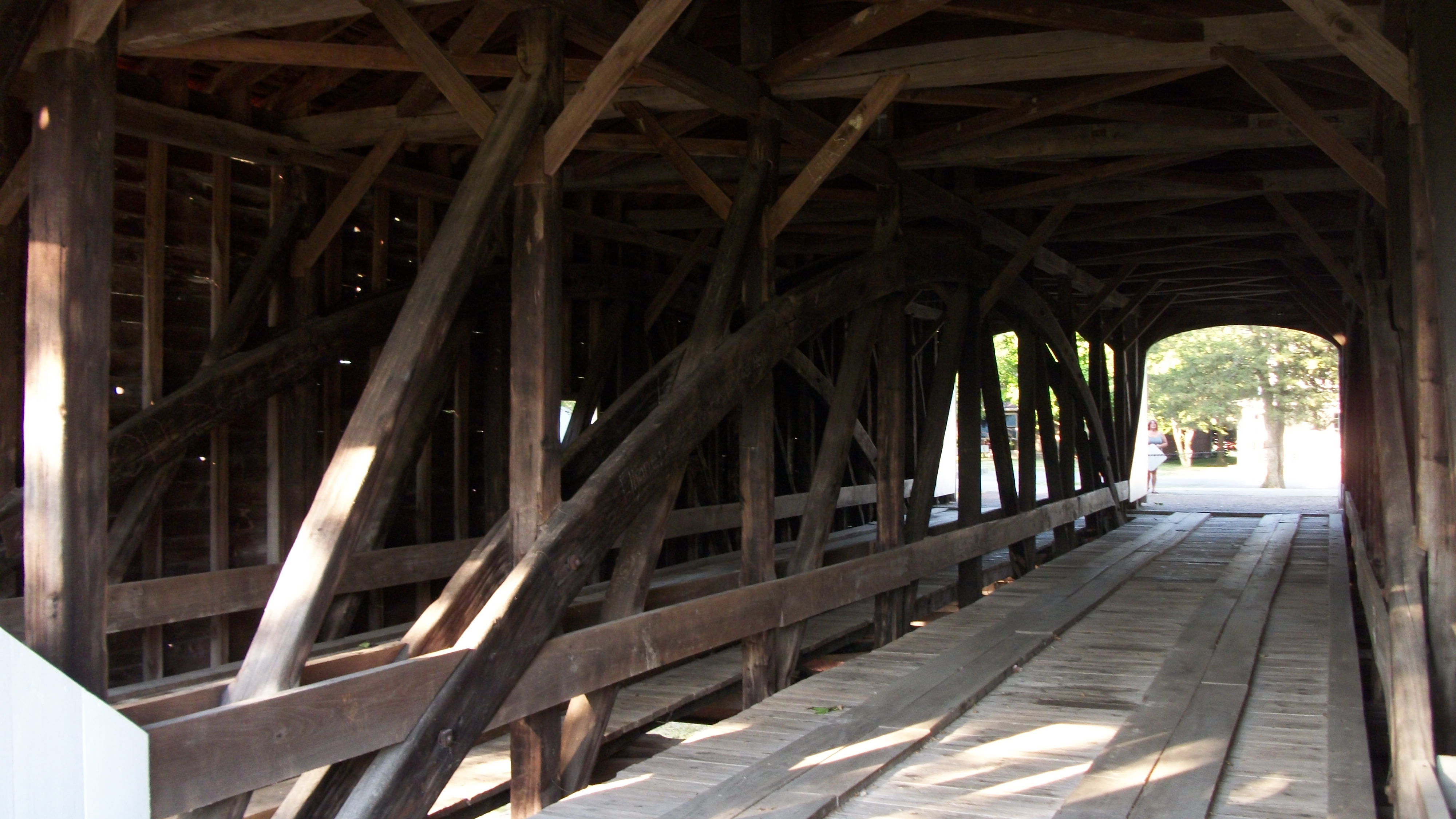
The Roberts Bridge
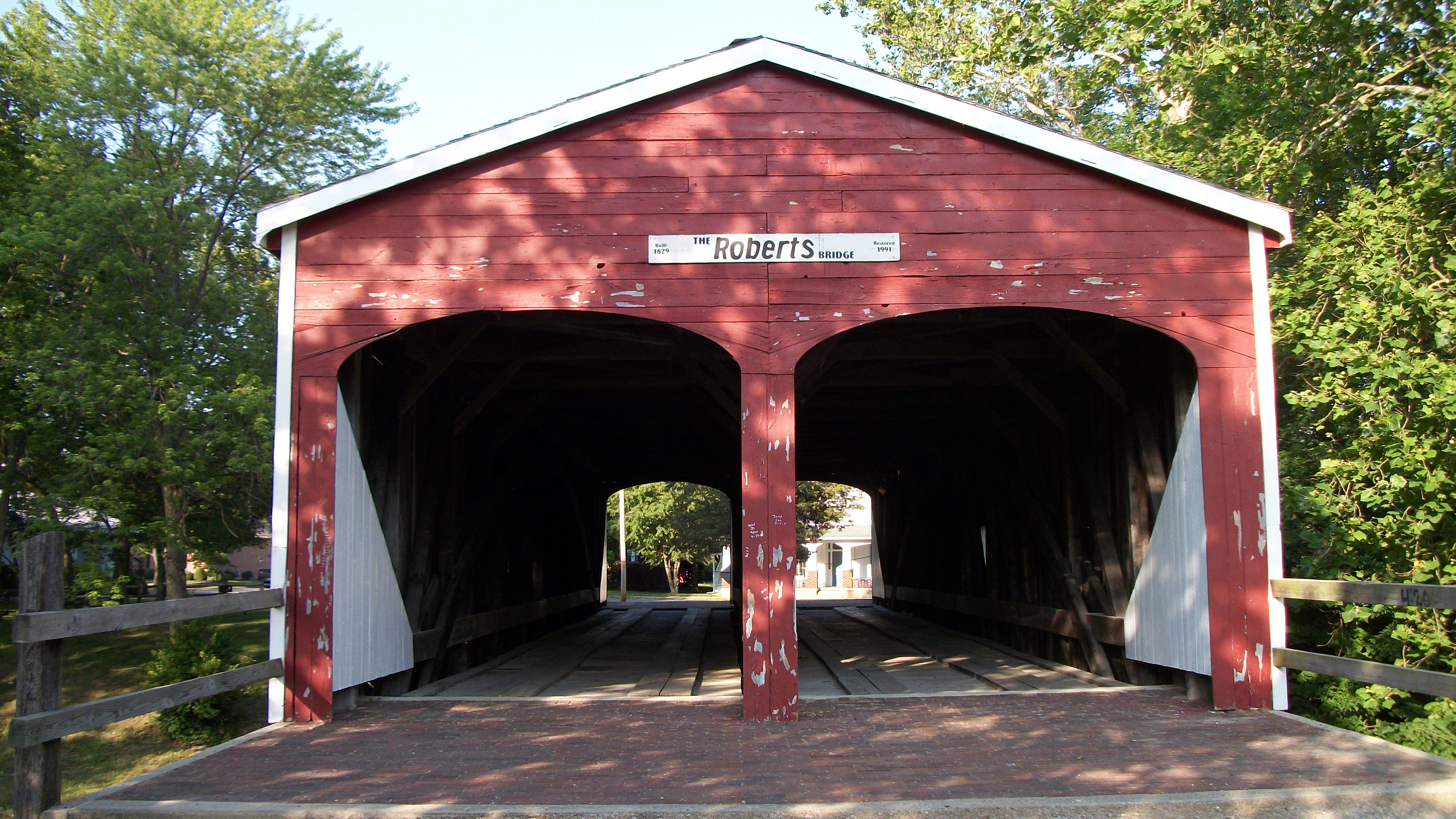
The Roberts Bridge

2015-11-01_04-47-14
2015-11-01_04-40-44

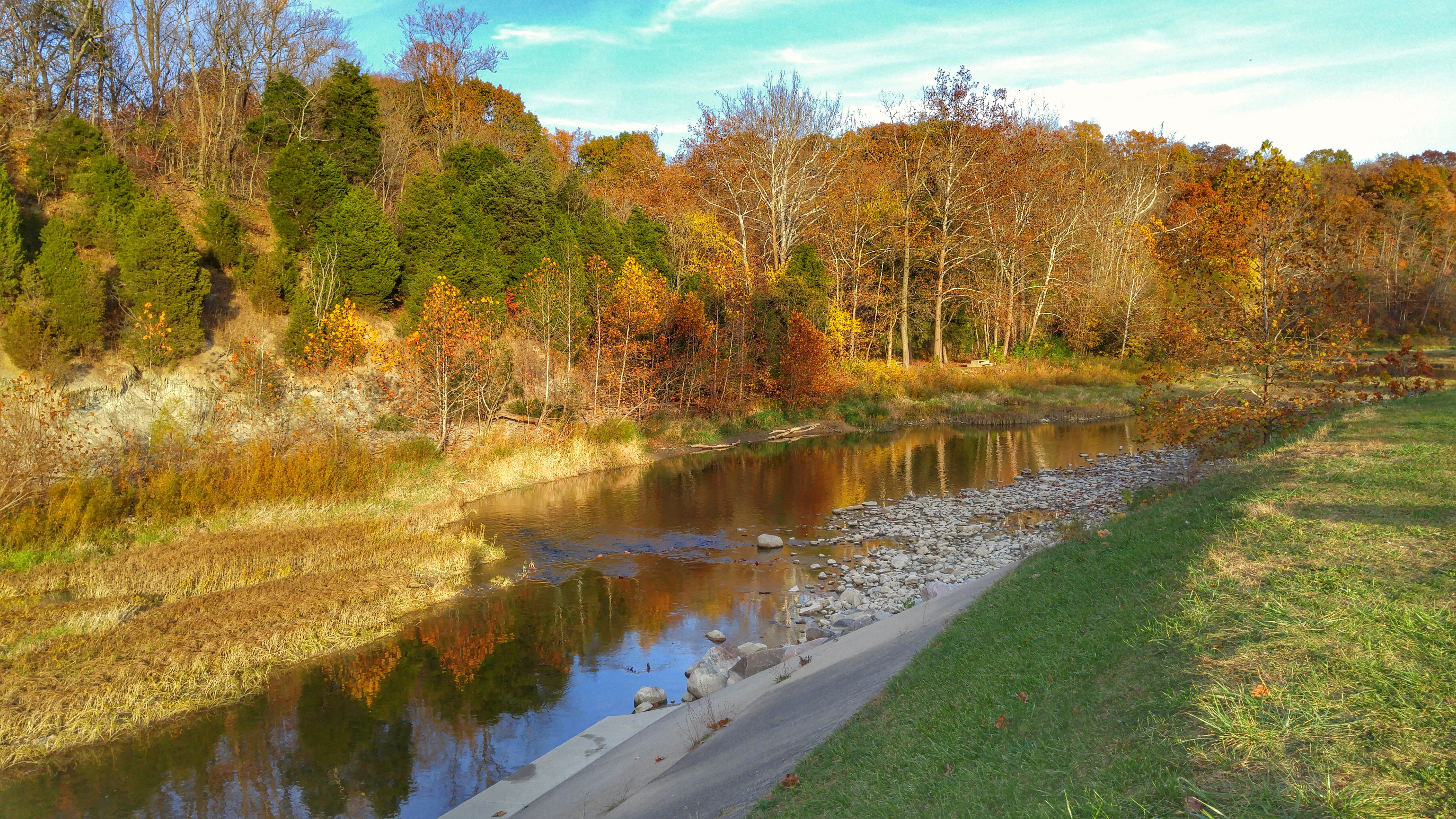
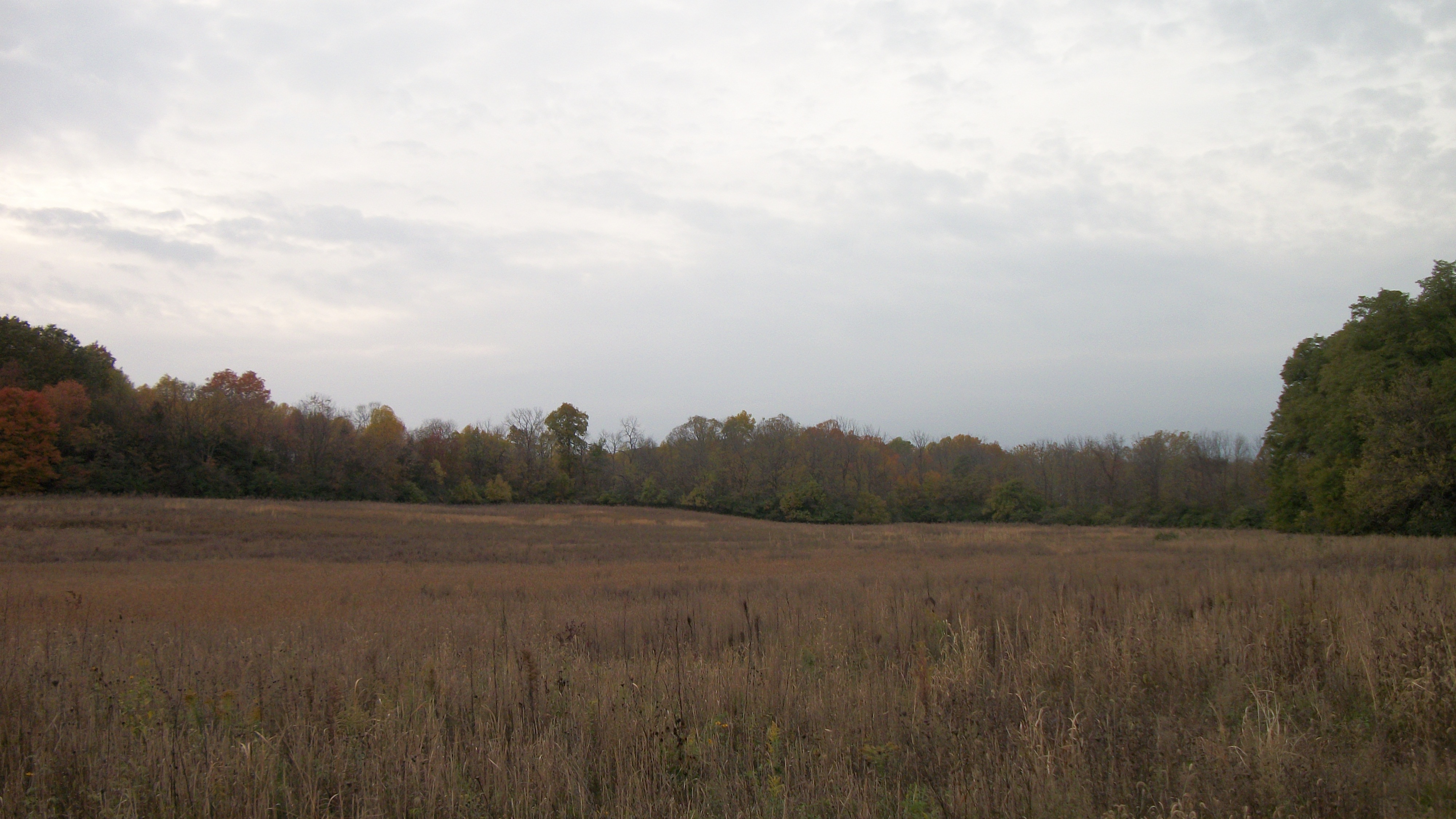
Germantown MetroPark
Germantown MetroPark
Silver Hart Road

Germantown MetroPark
Germantown MetroPark
Gasper Somers Road

Preble County - Wheatville, OH

Butter & Calf, II
The End of the Earth

The End of the Earth

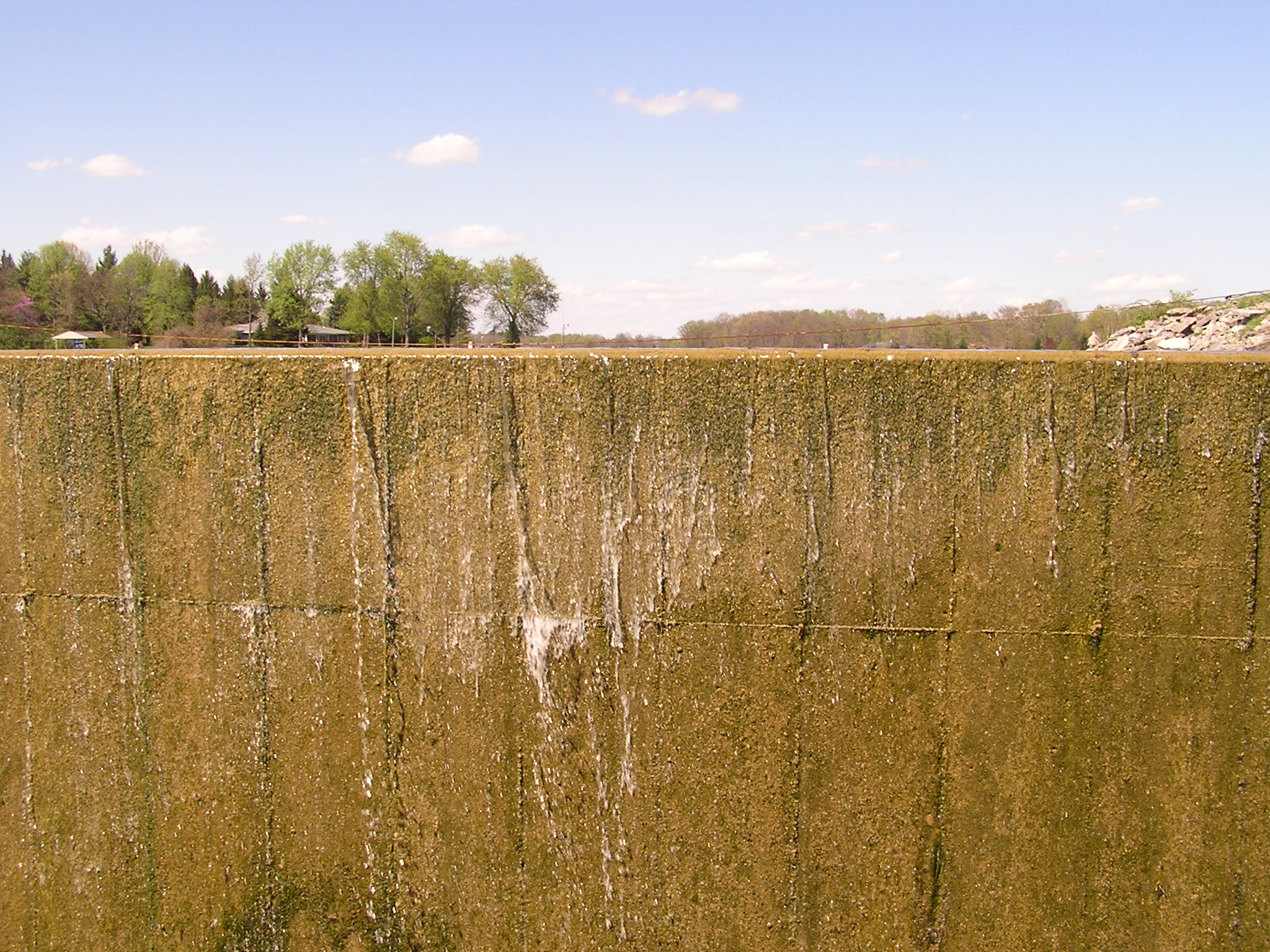
Lake Lakengren, OH
The End of the Earth

Sunset from my backyard
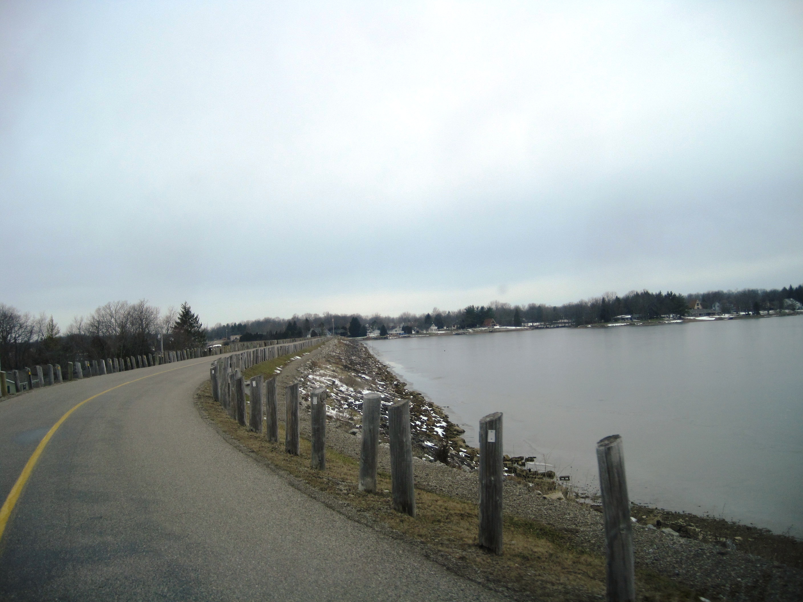
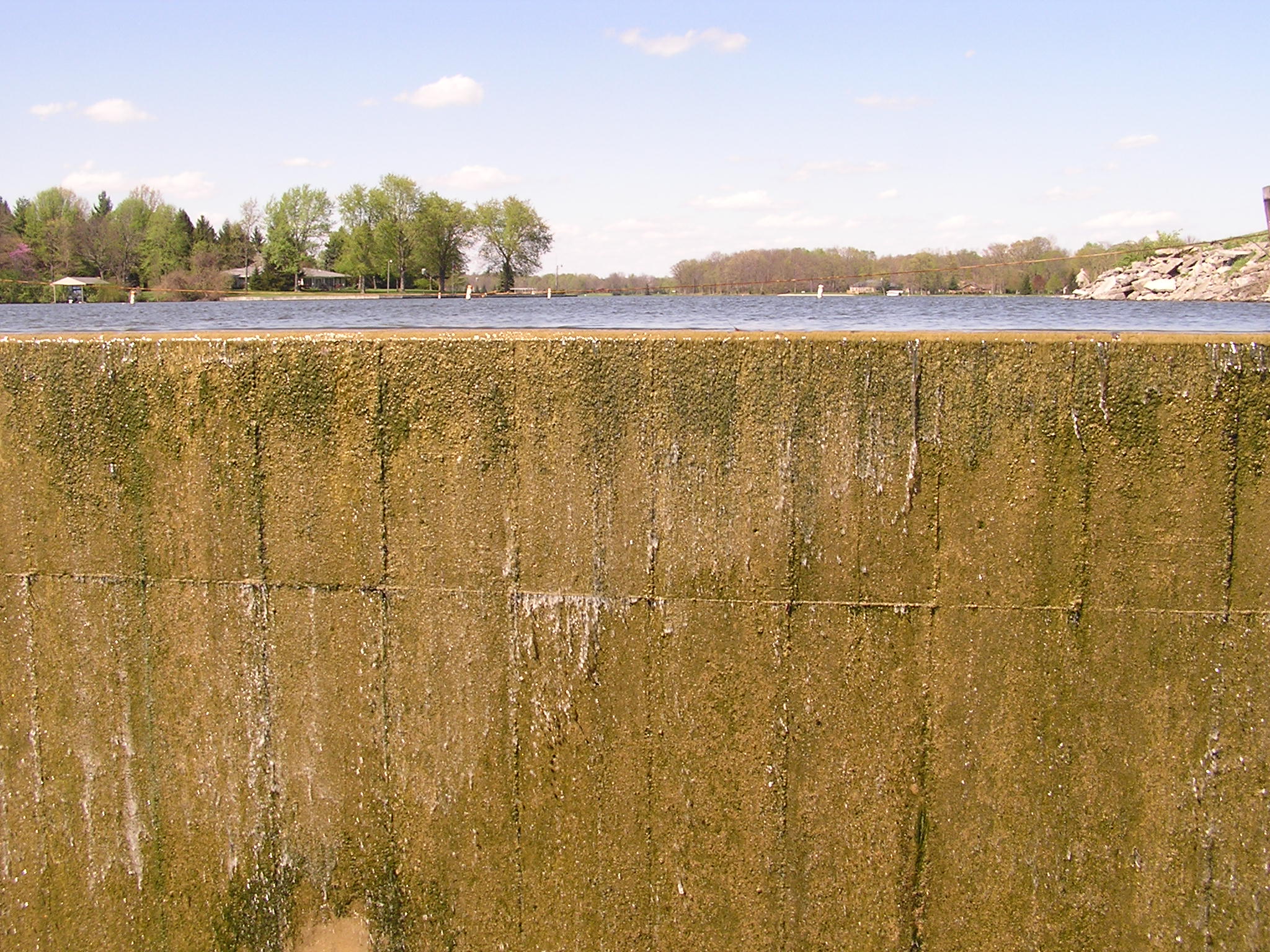
Lake Lakengren, OH
horizon tall
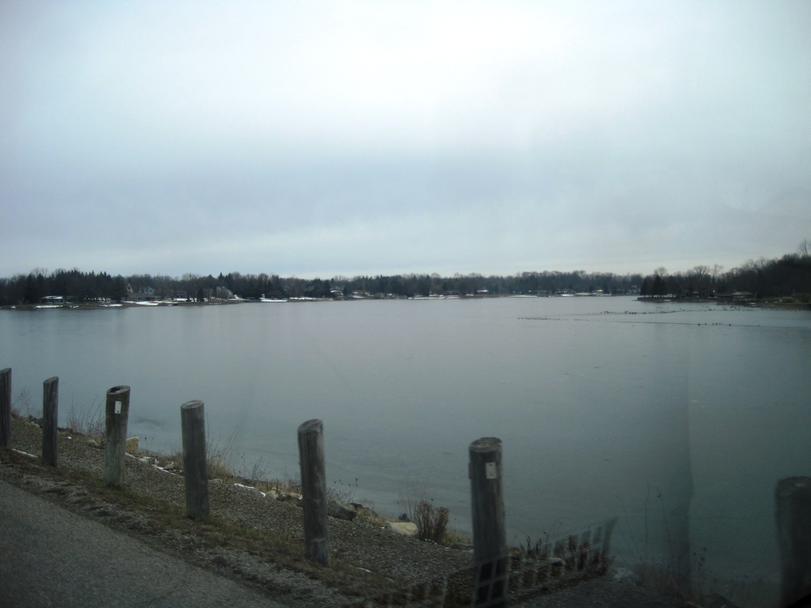
Lake Lakengren, OH

Blue Steel took a picture!
Topographic Map of OH-, Eaton, OH, USA
Find elevation by address:

Places near OH-, Eaton, OH, USA:
Lanier Township
93 Quaker Trace Rd, West Alexandria, OH, USA
Gratis Township
West Alexandria
109 Tiffin Ct
59 E 2nd St
Somers Township
Enterprise Rd, West Alexandria, OH, USA
121 Amelia Dr
123 Hillcrest Dr
2169 Enterprise Rd
Eaton
W Main St, Eaton, OH, USA
OH-, West Alexandria, OH, USA
Eaton, OH, USA
Camden
Beechwood Ave, Somerville, OH, USA
West Elkton
Twin Township
4096 Somerville West Elkton Rd
Recent Searches:
- Elevation of Corso Fratelli Cairoli, 35, Macerata MC, Italy
- Elevation of Tallevast Rd, Sarasota, FL, USA
- Elevation of 4th St E, Sonoma, CA, USA
- Elevation of Black Hollow Rd, Pennsdale, PA, USA
- Elevation of Oakland Ave, Williamsport, PA, USA
- Elevation of Pedrógão Grande, Portugal
- Elevation of Klee Dr, Martinsburg, WV, USA
- Elevation of Via Roma, Pieranica CR, Italy
- Elevation of Tavkvetili Mountain, Georgia
- Elevation of Hartfords Bluff Cir, Mt Pleasant, SC, USA