Elevation of Oakburn, MB R0J, Canada
Location: Canada > Manitoba > Division No. 15 > Shoal Lake >
Longitude: -100.57689
Latitude: 50.564879
Elevation: 585m / 1919feet
Barometric Pressure: 94KPa
Elevation Map:
Satellite Map:
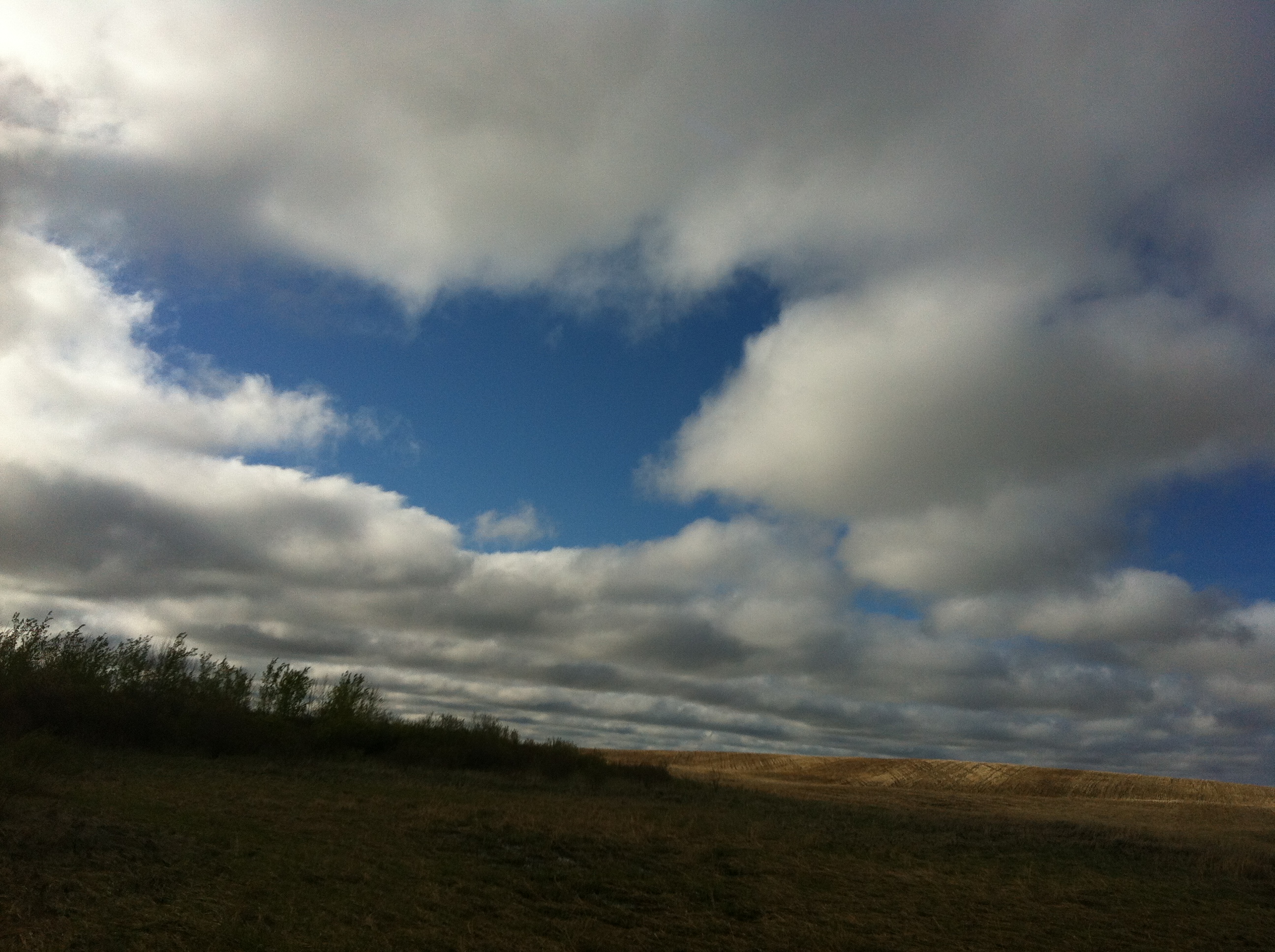
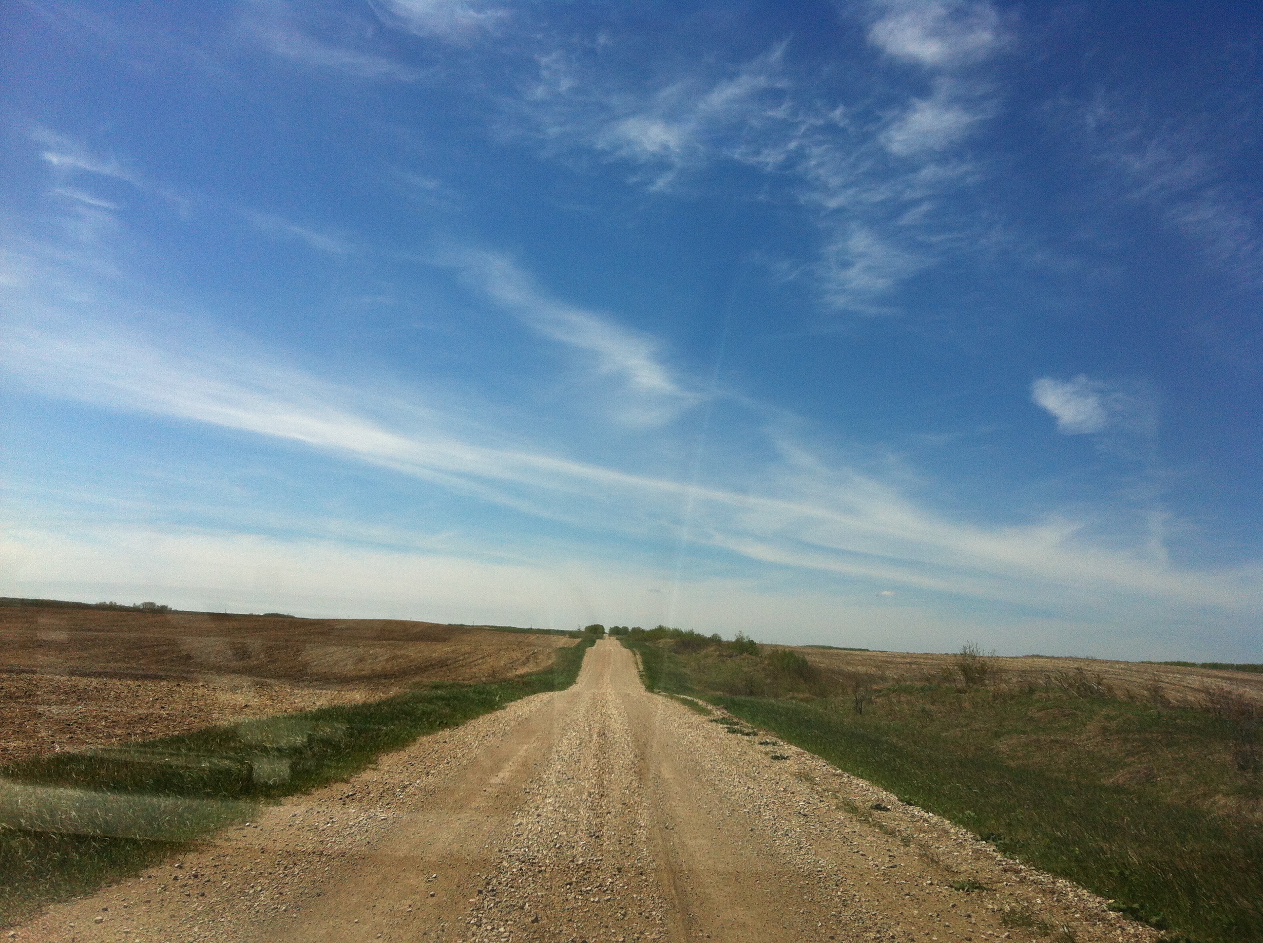
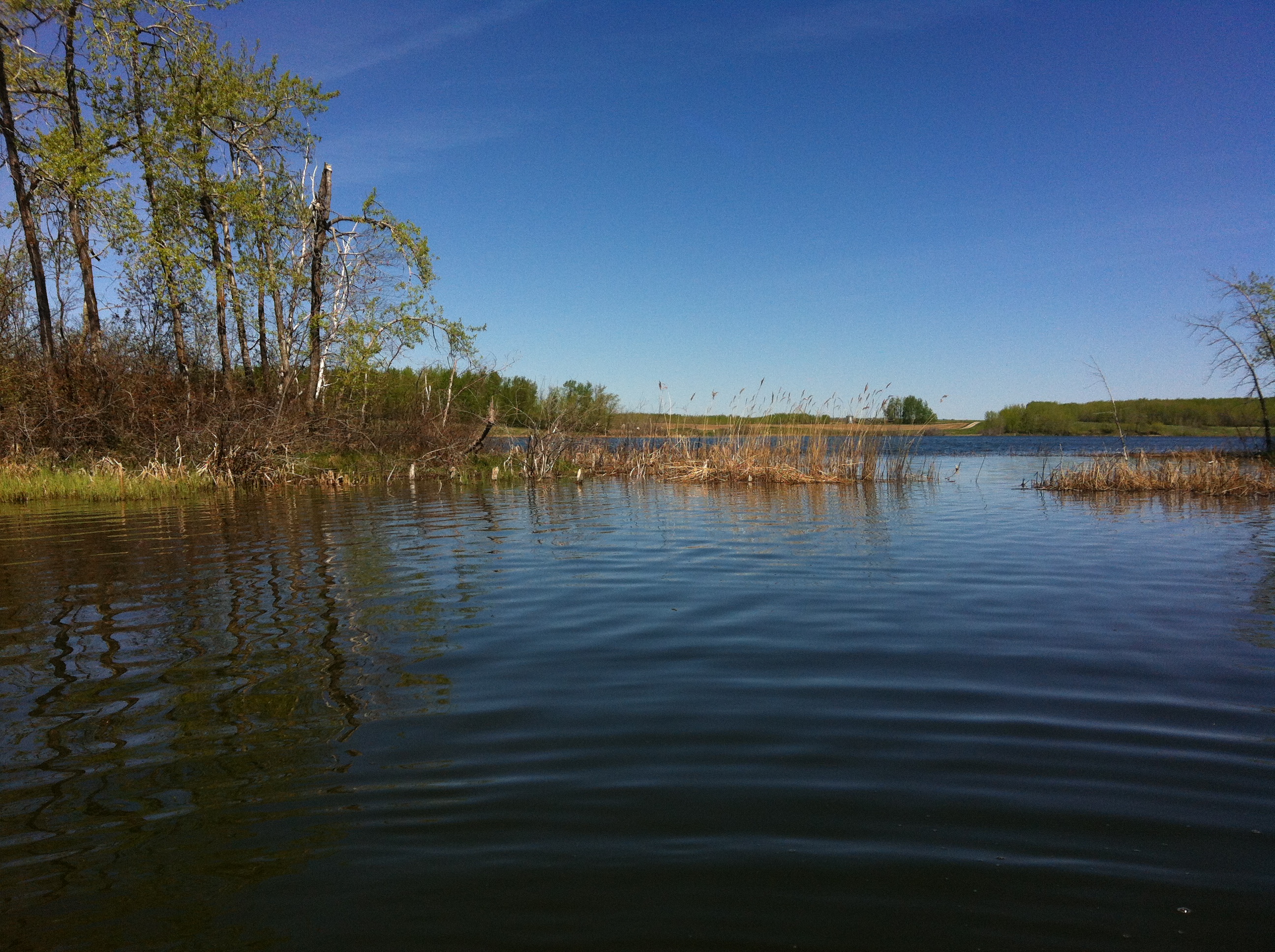
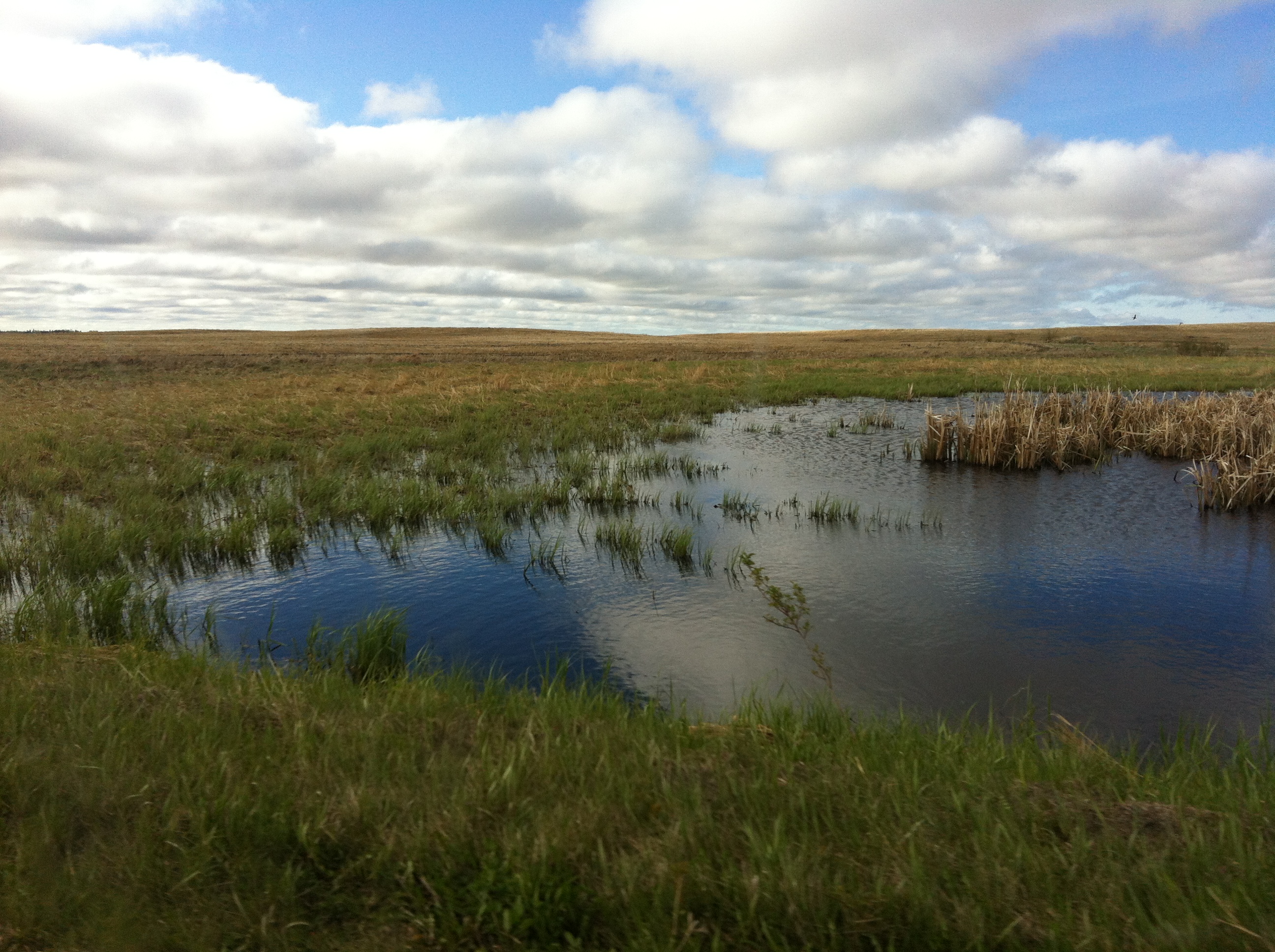
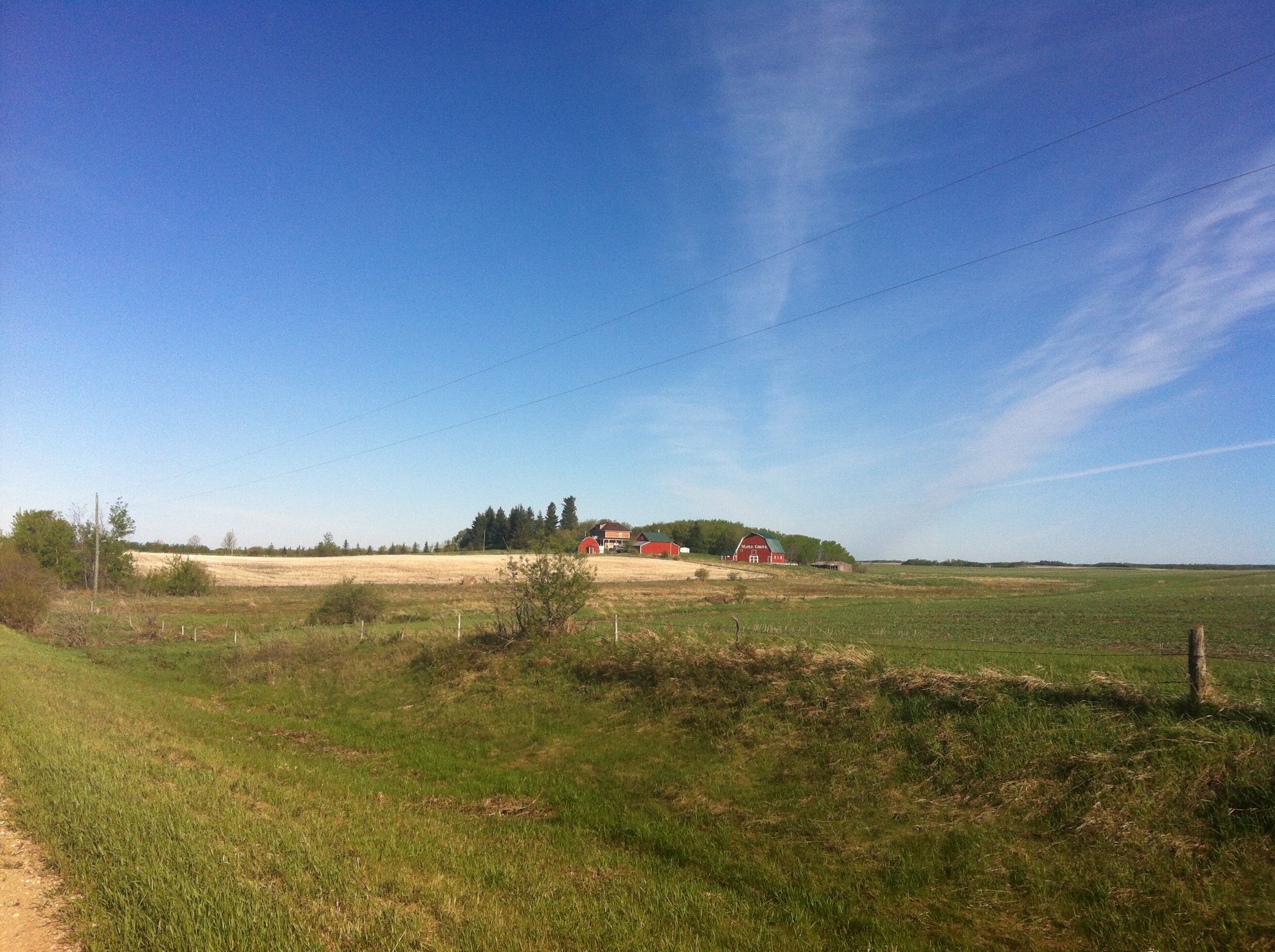
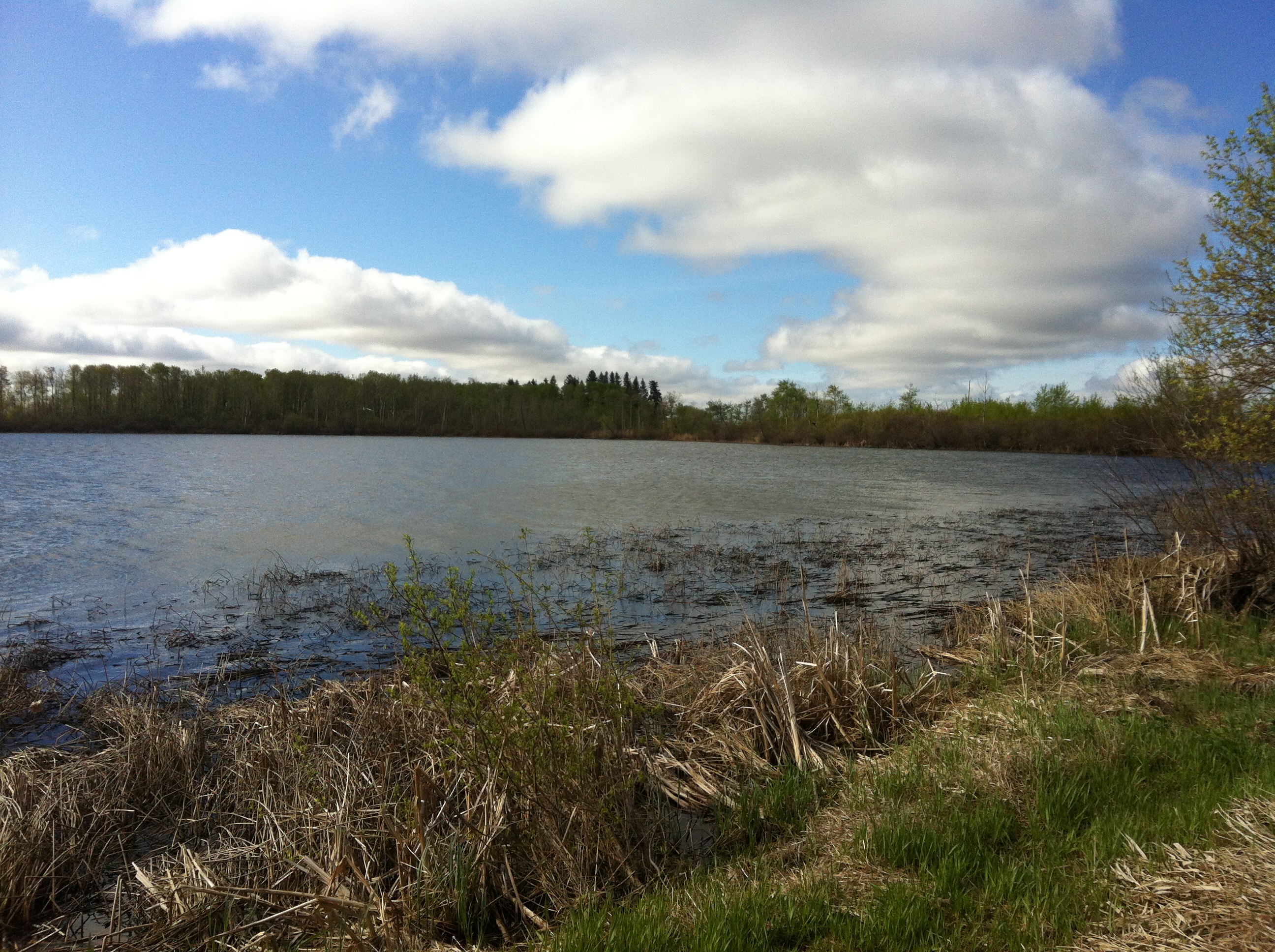
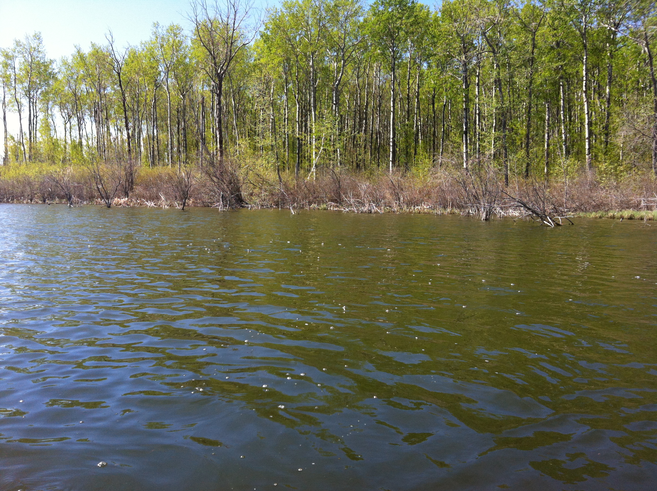
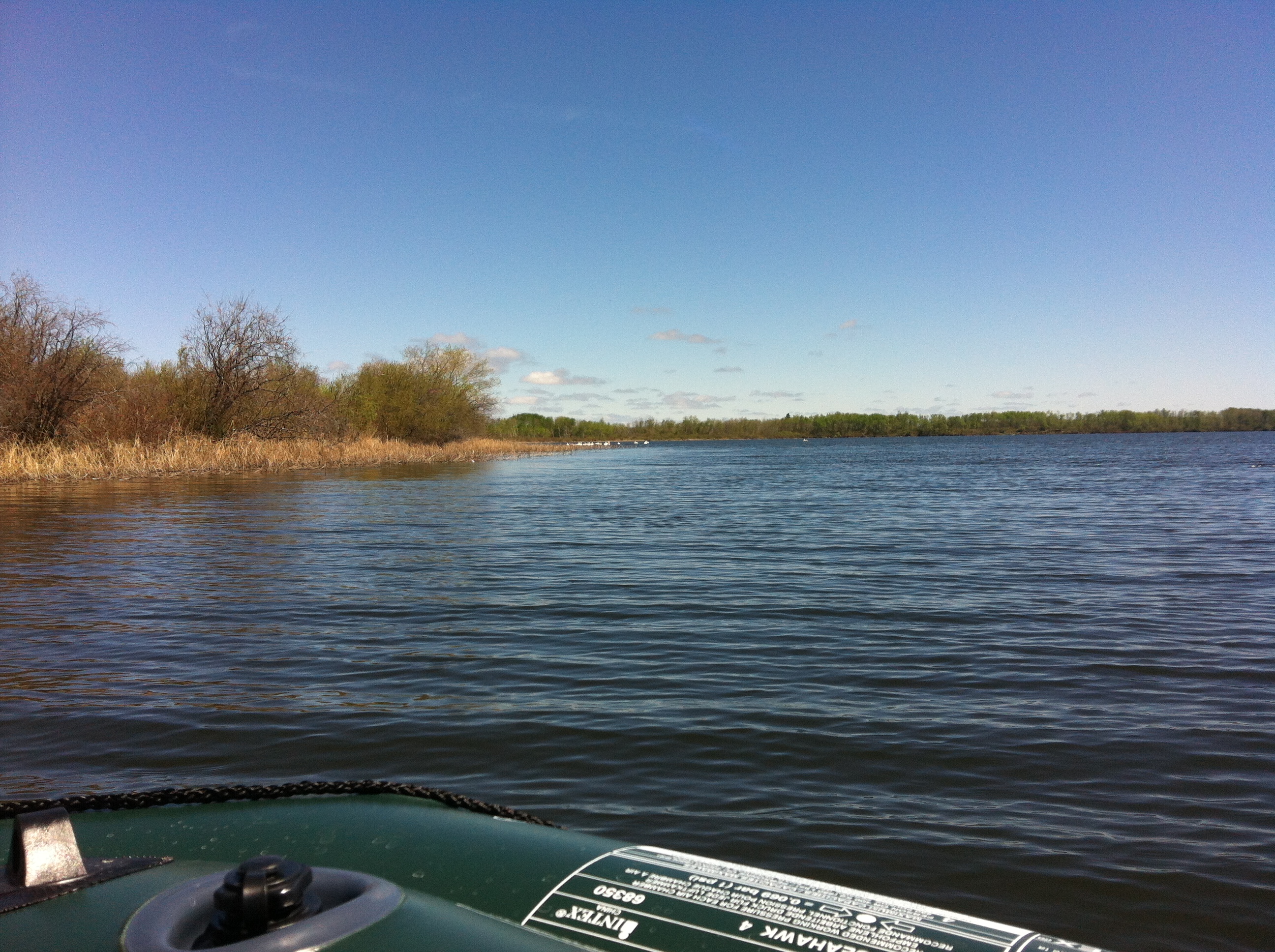
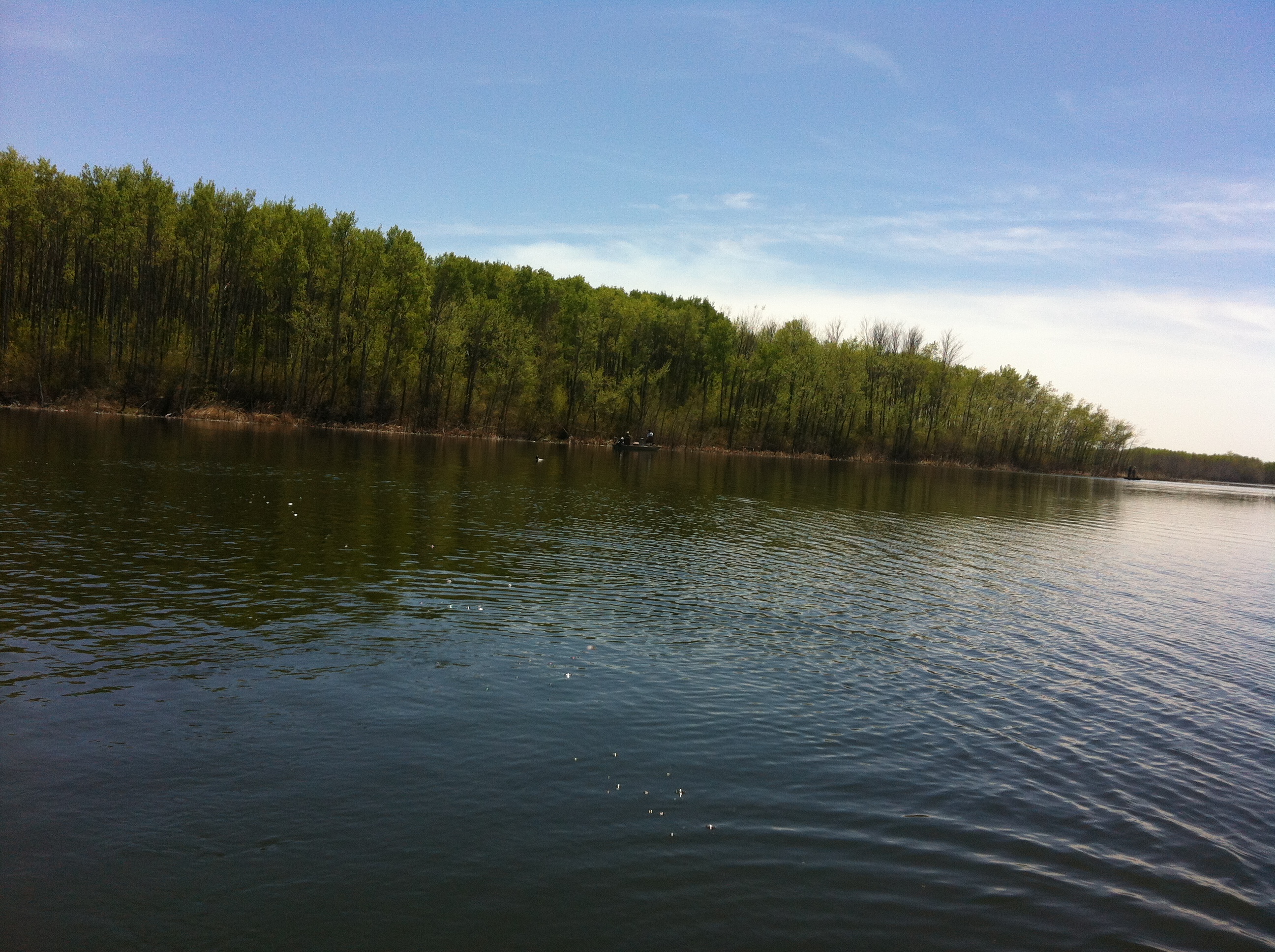
Related Photos:
IMG_3481

IMG_3516
IMG_3569

IMG_3587

IMG_3478
IMG_3482
IMG_3592
IMG_3551
IMG_3562
IMG_3560
IMG_3548
IMG_3487
IMG_3565
IMG_3510
IMG_3586
IMG_3509
IMG_3512

IMG_3511
IMG_3513
IMG_3550
Topographic Map of Oakburn, MB R0J, Canada
Find elevation by address:

Places in Oakburn, MB R0J, Canada:
Places near Oakburn, MB R0J, Canada:
Black Ave, Oakburn, MB R0J 1L0, Canada
Shoal Lake
Shoal Lake
Vista
Division No. 15
Strathclair
30 Saskatchewan St, Strathclair, MB R0J 2C0, Canada
Strathclair
Hamiota
Sandy Lake
Oak River
Harrison
Kenton
Basswood
Onanole
Rivers
Daly St, Lenore, MB R0M 1E0, Canada
Lenore
Third Ave, Rivers, MB R0K 1X0, Canada
Saskatchewan
Recent Searches:
- Elevation of Corso Fratelli Cairoli, 35, Macerata MC, Italy
- Elevation of Tallevast Rd, Sarasota, FL, USA
- Elevation of 4th St E, Sonoma, CA, USA
- Elevation of Black Hollow Rd, Pennsdale, PA, USA
- Elevation of Oakland Ave, Williamsport, PA, USA
- Elevation of Pedrógão Grande, Portugal
- Elevation of Klee Dr, Martinsburg, WV, USA
- Elevation of Via Roma, Pieranica CR, Italy
- Elevation of Tavkvetili Mountain, Georgia
- Elevation of Hartfords Bluff Cir, Mt Pleasant, SC, USA