Elevation of Oak Hill Rd, Karthaus, PA, USA
| Latitude | 41.15242 |
|---|---|
| Longitude | -78.122051 |
| Elevation | 445m / 1460feet |
| Barometric Pressure | 961KPa |
Related Photos:
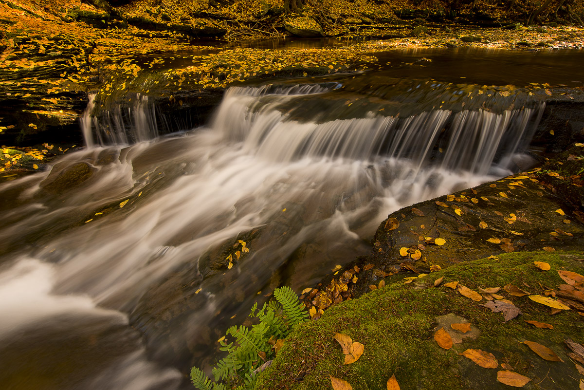
Wycoff Run Waterfall

Karthaus, PA

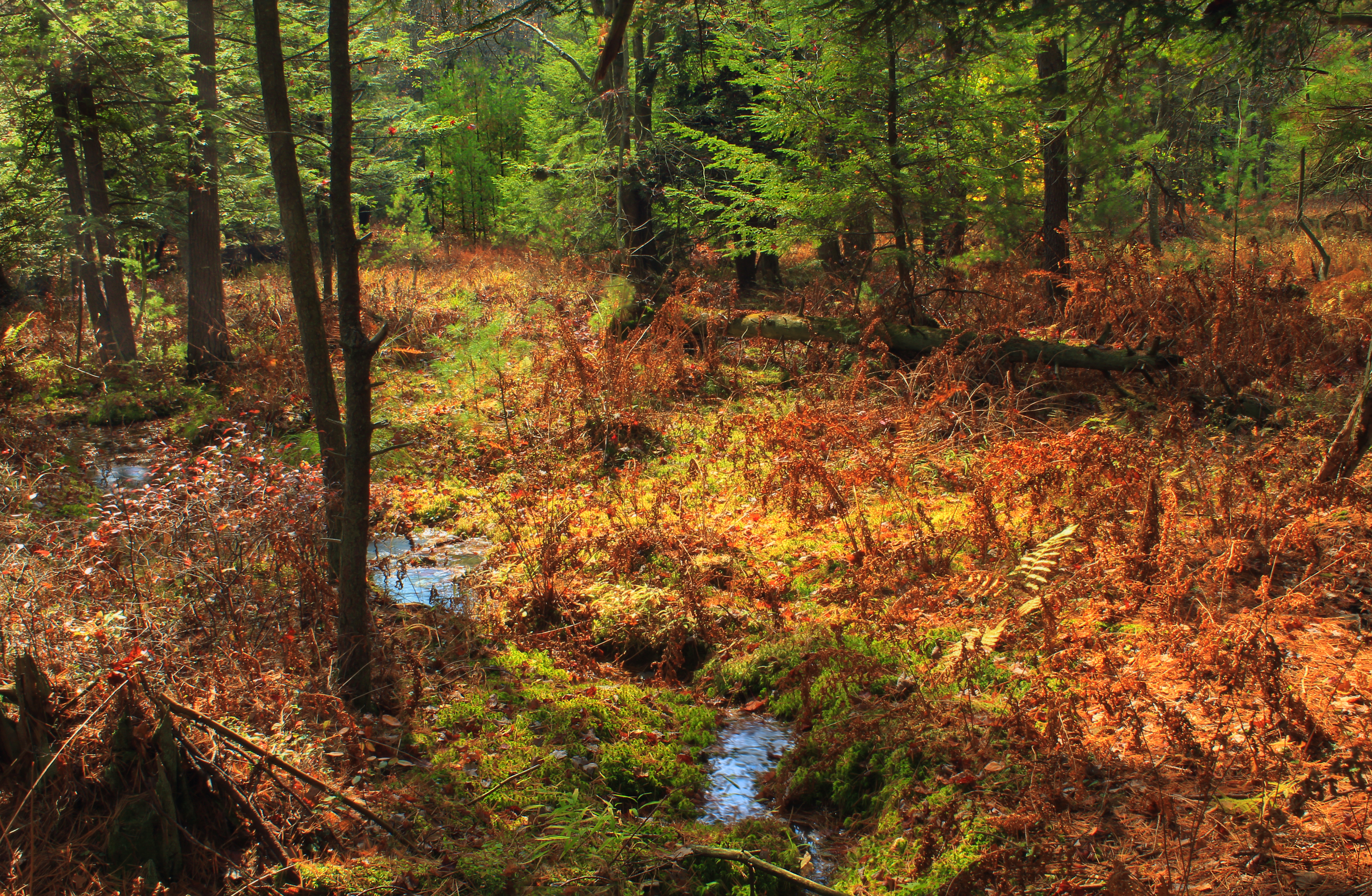
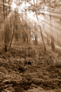
Fern Meadows

Kunes Camp Trail (5)
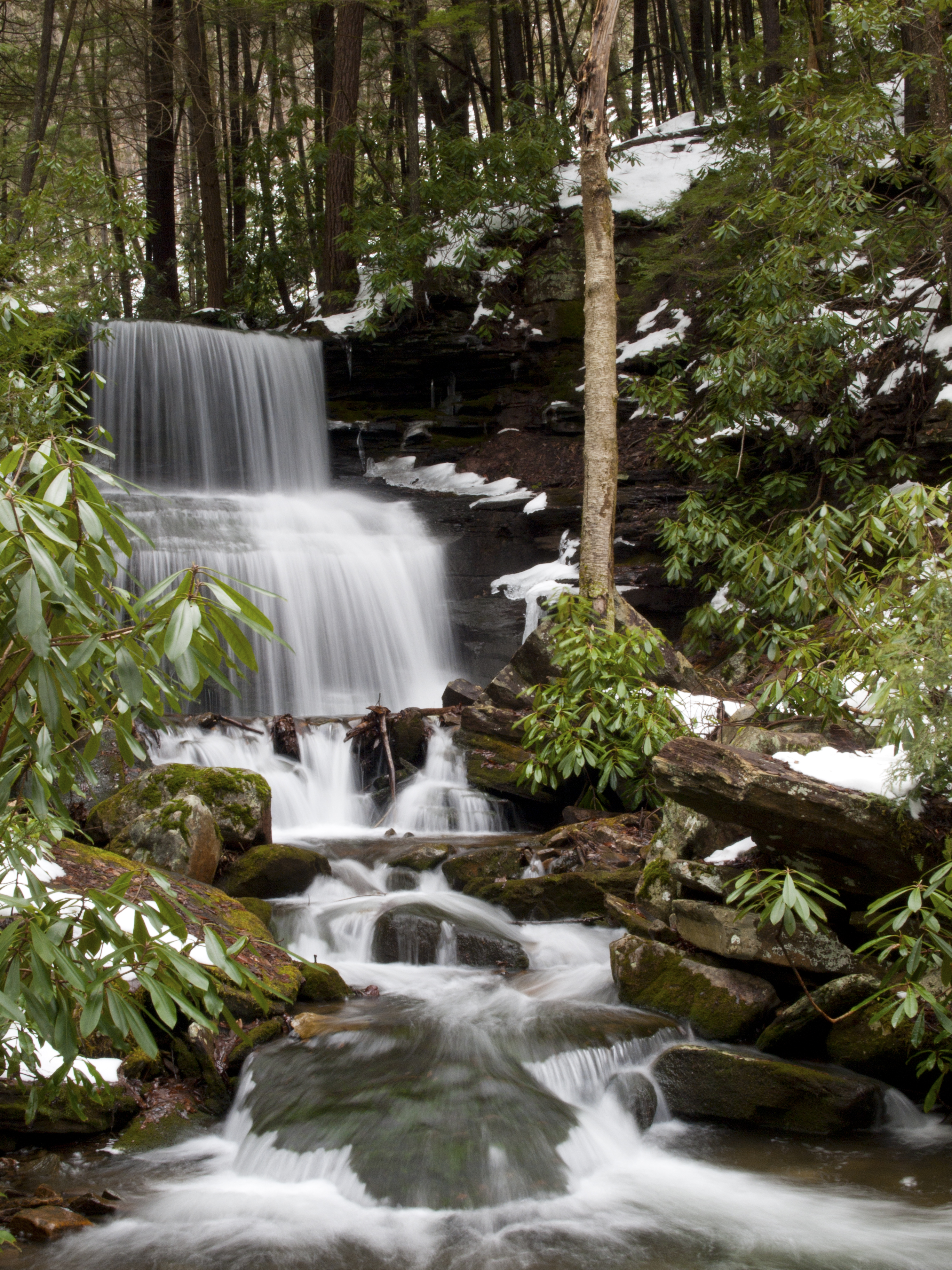
Round Island Run Falls

Kunes Camp Trail (13)
Kunes Camp Trail (16)
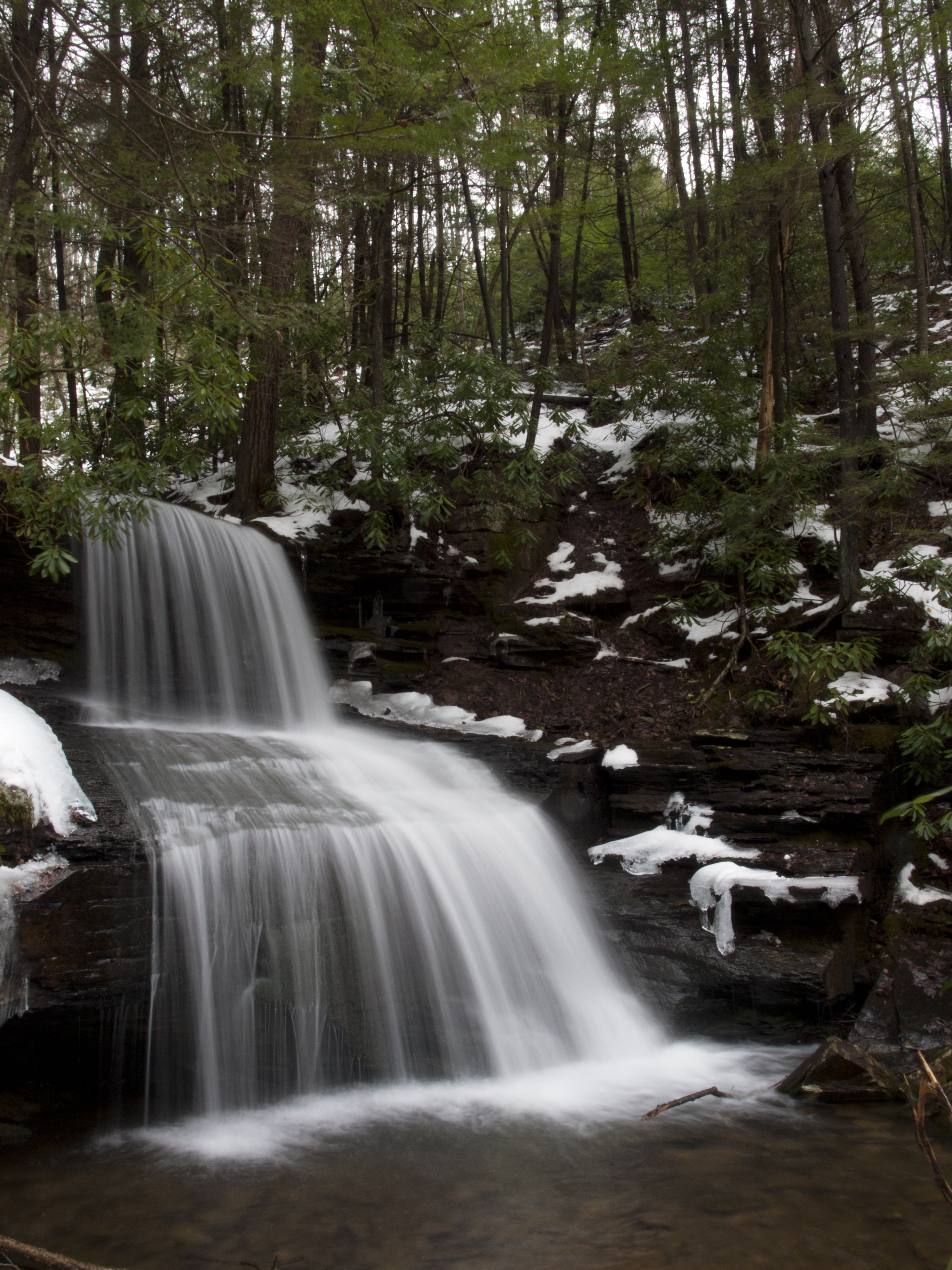
Round Island Run Falls, side shot.
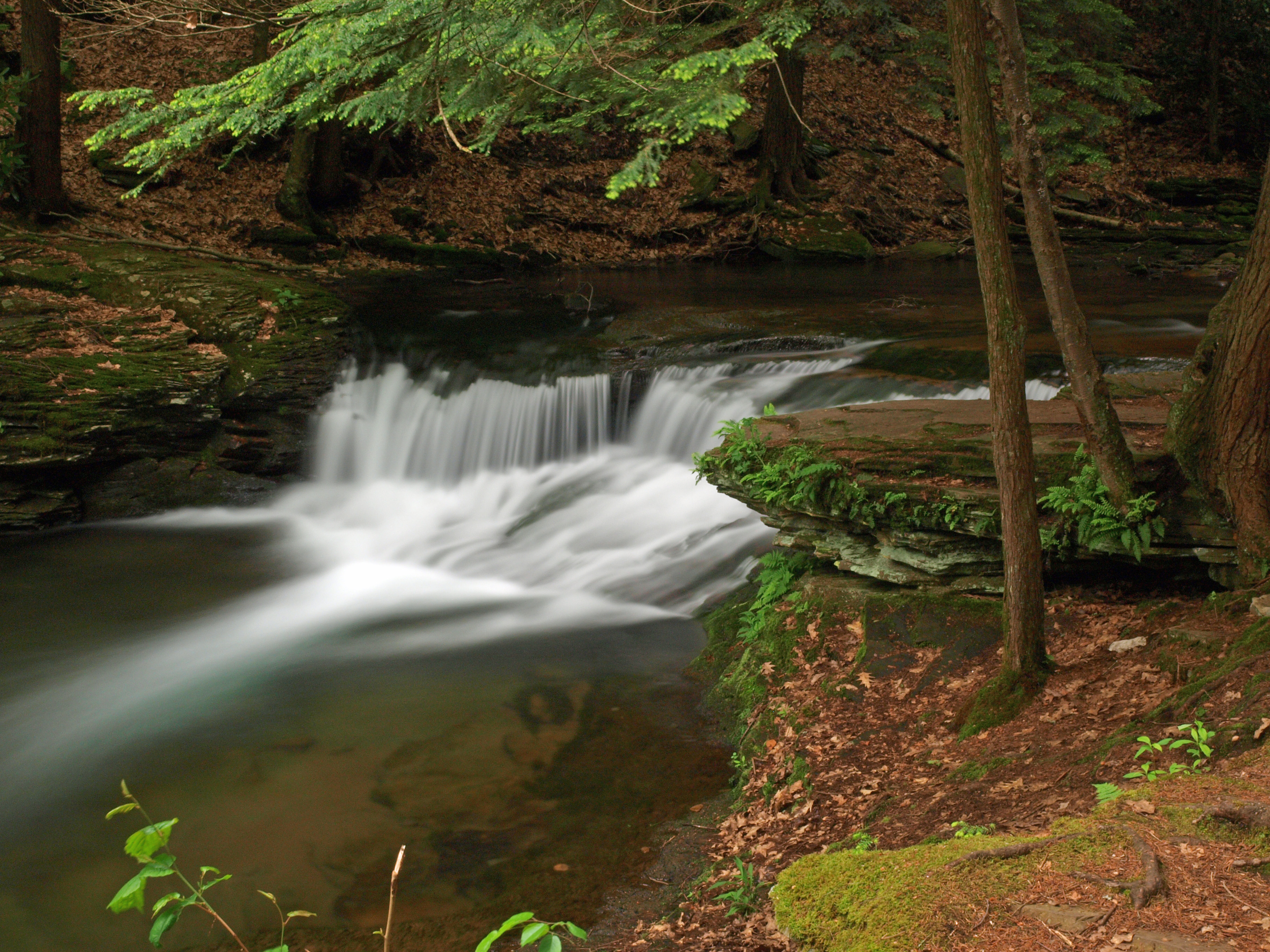
Wycoff Run, Pennsyvania

Wykoff Run Waterfall
Sunrise Near Quehanna Wild Area
Topographic Map of Oak Hill Rd, Karthaus, PA, USA
Find elevation by address:
Places near Oak Hill Rd, Karthaus, PA, USA:
Quehanna Motor Lodge
Karthaus
Karthaus Township
Quehanna Boot Camp
4676 Quehanna Hwy
Askey Road
Pottersdale
Covington Township
1933 Caledonia Pike
1522 Vfw Rd
West Keating Township
502 Frenchville Rd
Frenchville
West Branch Susquehanna River
Gibson Township
65 Mary Ln
Drifting
343 Firehouse Rd
85 Valley Ln, Frenchville, PA, USA
Cooper Township
Recent Searches:
- Elevation of 104, Chancery Road, Middletown Township, Bucks County, Pennsylvania, 19047, USA
- Elevation of 1212, Cypress Lane, Dayton, Liberty County, Texas, 77535, USA
- Elevation map of Central Hungary, Hungary
- Elevation map of Pest, Central Hungary, Hungary
- Elevation of Pilisszentkereszt, Pest, Central Hungary, Hungary
- Elevation of Dharamkot Tahsil, Punjab, India
- Elevation of Bhinder Khurd, Dharamkot Tahsil, Punjab, India
- Elevation of 2881, Chabot Drive, San Bruno, San Mateo County, California, 94066, USA
- Elevation of 10370, West 107th Circle, Westminster, Jefferson County, Colorado, 80021, USA
- Elevation of 611, Roman Road, Old Ford, Bow, London, England, E3 2RW, United Kingdom
- Elevation of 116, Beartown Road, Underhill, Chittenden County, Vermont, 05489, USA
- Elevation of Window Rock, Colfax County, New Mexico, 87714, USA
- Elevation of 4807, Rosecroft Street, Kempsville Gardens, Virginia Beach, Virginia, 23464, USA
- Elevation map of Matawinie, Quebec, Canada
- Elevation of Sainte-Émélie-de-l'Énergie, Matawinie, Quebec, Canada
- Elevation of Rue du Pont, Sainte-Émélie-de-l'Énergie, Matawinie, Quebec, J0K2K0, Canada
- Elevation of 8, Rue de Bécancour, Blainville, Thérèse-De Blainville, Quebec, J7B1N2, Canada
- Elevation of Wilmot Court North, 163, University Avenue West, Northdale, Waterloo, Region of Waterloo, Ontario, N2L6B6, Canada
- Elevation map of Panamá Province, Panama
- Elevation of Balboa, Panamá Province, Panama