Elevation of Oak Grove, CO, USA
Location: United States > Colorado > Montrose County > Montrose >
Longitude: -107.92812
Latitude: 38.4599868
Elevation: 1808m / 5932feet
Barometric Pressure: 81KPa
Elevation Map:
Satellite Map:
Related Photos:

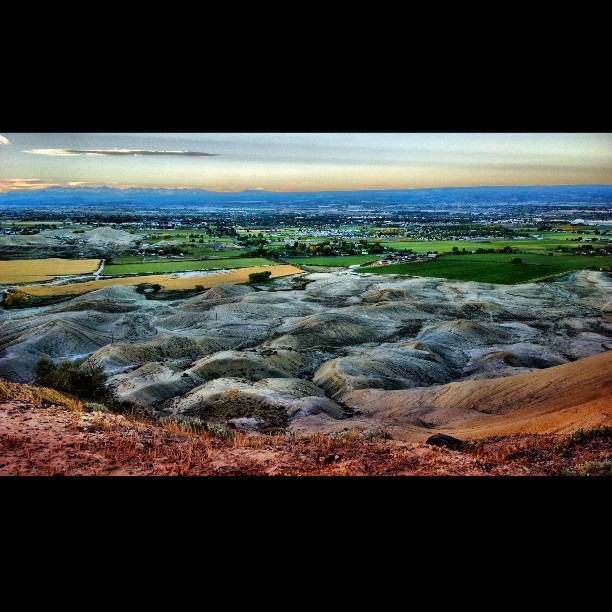
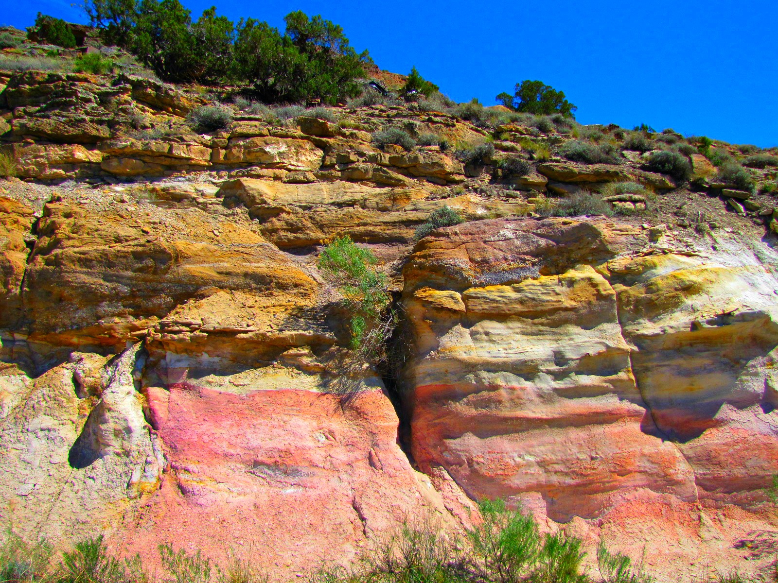
Geologic complexity

Between the corn and the cottonwood

171/365

Cherokee Spirit coneflowers

Stockmen's neon

Relic barn with a view

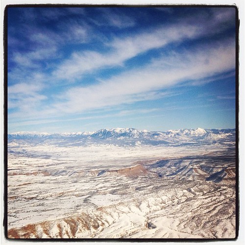
Forty miles north, 5,000 feet up

Georgia O'Keefe adobe view

View through a budding cottonwood

A pocket view of Chimney Peak

South Canal tunnels (1 of 3)

Montrose theater

South Canal tunnels (3 of 3)

Day 3 A - Silverthorn

Storytelling gravestones #16

View from my desk

South Canal tunnels (2 of 3)

Day 3 A - Silverthorn

Day 3 A - Silverthorn

Flying Hat

A table with a view!
6tag_081013-082914

WP_20130930_07_44_04_Pro.jpg

6tag_081013-082914
WP_20131013_10_04_31_Pro.jpg

6tag_131013-094656

6tag_131013-100917

WP_20131013_10_04_31_Pro.jpg

Sneffels winter out my window
Missed this place...

Double rainbow over corn field

WP_20131021_07_57_46_Pro.jpg
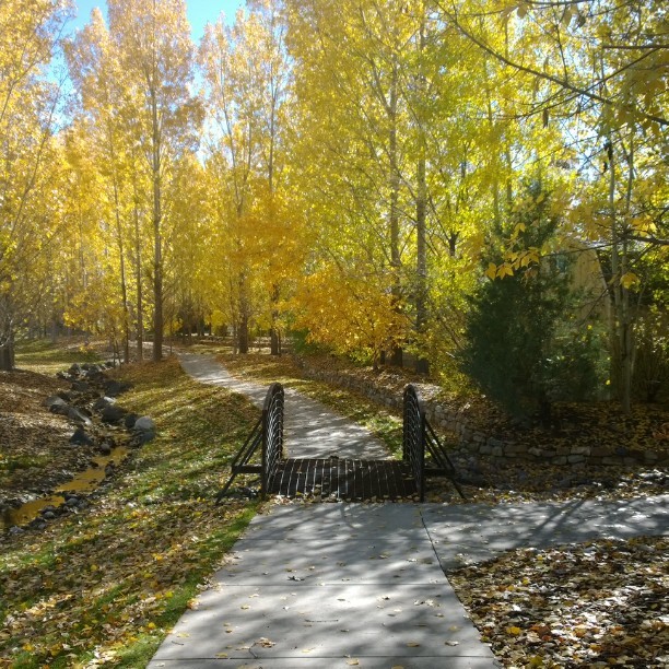
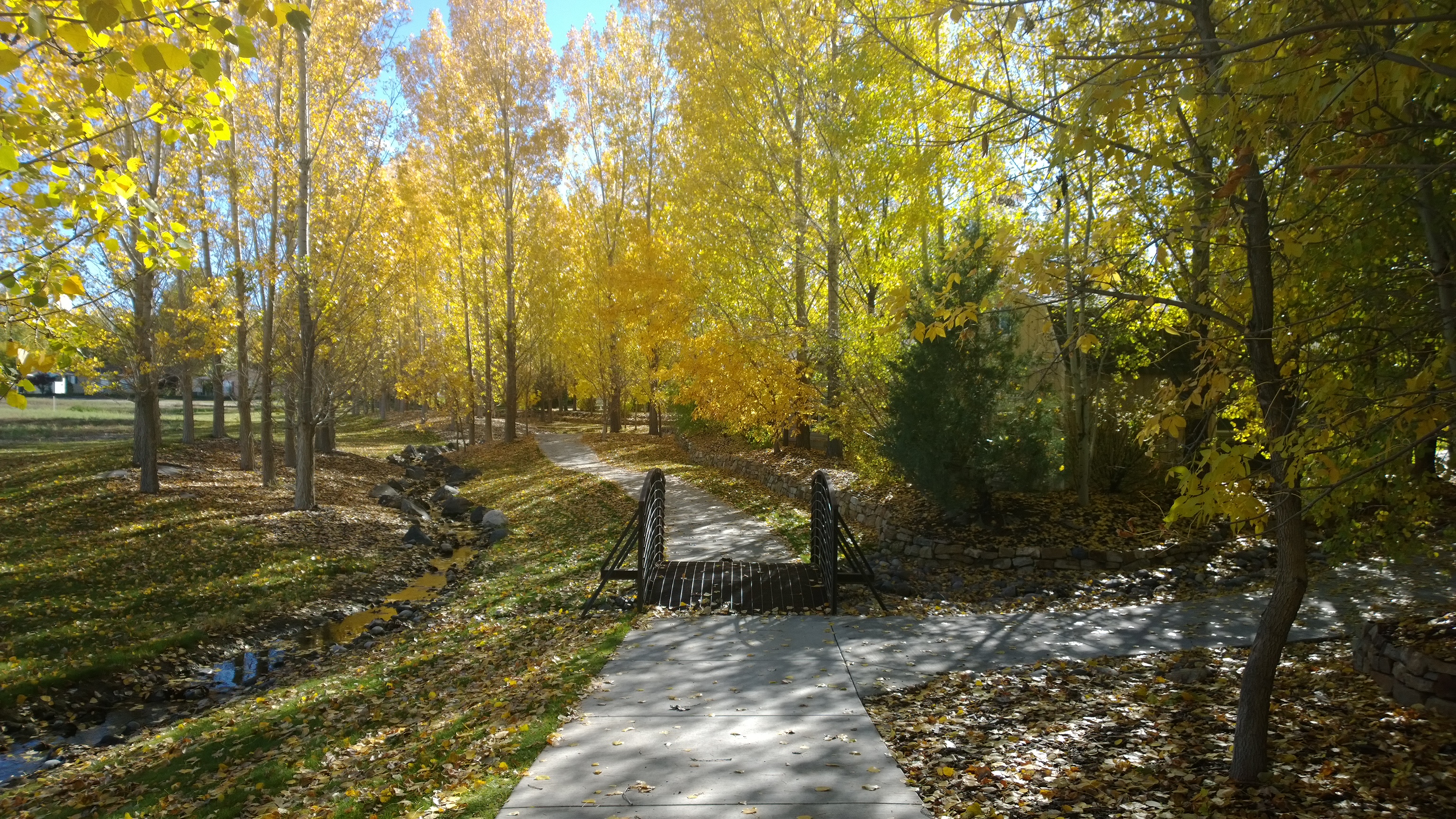
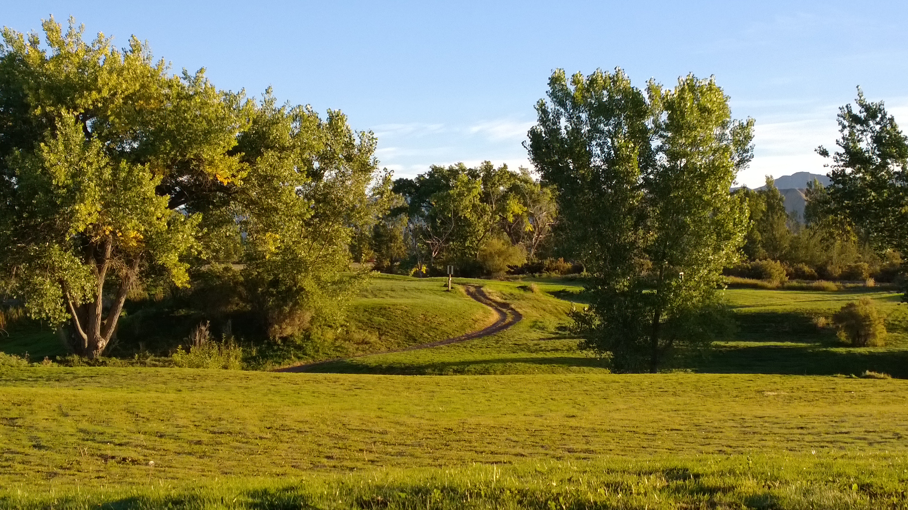
#nofilter #fall pic of #sidewalk and #pedestrian #bridge surrounded by #beautiful #yellow #autumn #leaves at #Cimarron #Creek #Golf #Community on the #outskirts of #Montrose #Colorado
WP_20130930_07_44_04_Pro.jpg

Underground Uncompahgre #15

WP_20130929_07_36_54_Pro.jpg

WP_20130929_07_36_12_Pro.jpg
Shavano pink and gold
WP_20130929_07_36_54_Pro.jpg
WP_20130929_07_33_29_Pro.jpg

WP_20131011_18_16_08_Pro.jpg

WP_20130929_07_28_04_Pro.jpg
Topographic Map of Oak Grove, CO, USA
Find elevation by address:

Places near Oak Grove, CO, USA:
CO-90, Montrose, CO, USA
14747 Marine Rd
1627 6422 Rd
451 Chipeta Rd
136 S Maple Ave
63434 Ranger Rd
146 W Main St
Montrose Drivers Education School Llc
Montrose
Blue Mesa Float Center
Horsefly Brewing Company
800 S 3rd St
726 S 7th St
17253 Chipeta Rd
17505 Us-550
2034 Princeton Way
2934 Princeton Way
62170 Tres Coyotes Trail
66204 Cottonwood Dr
66270 Crestview Dr
Recent Searches:
- Elevation of Corso Fratelli Cairoli, 35, Macerata MC, Italy
- Elevation of Tallevast Rd, Sarasota, FL, USA
- Elevation of 4th St E, Sonoma, CA, USA
- Elevation of Black Hollow Rd, Pennsdale, PA, USA
- Elevation of Oakland Ave, Williamsport, PA, USA
- Elevation of Pedrógão Grande, Portugal
- Elevation of Klee Dr, Martinsburg, WV, USA
- Elevation of Via Roma, Pieranica CR, Italy
- Elevation of Tavkvetili Mountain, Georgia
- Elevation of Hartfords Bluff Cir, Mt Pleasant, SC, USA