Elevation of NY-22, Wingdale, NY, USA
Location: United States > New York > Dutchess County > Dover > Wingdale >
Longitude: -73.562127
Latitude: 41.64704
Elevation: 135m / 443feet
Barometric Pressure: 100KPa
Elevation Map:
Satellite Map:
Related Photos:
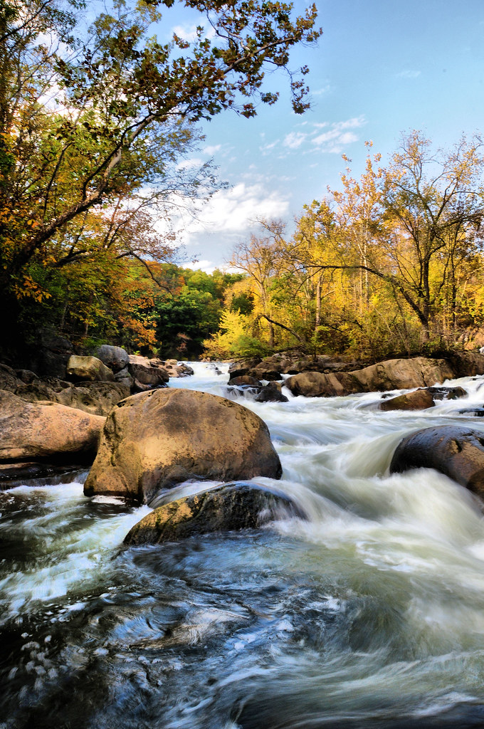
The Stream in Fall

northville rescue 7 (view 2)

Racing stream

Project Clear Aquatic Plants-Holiday Cove 06-24-2015_0014
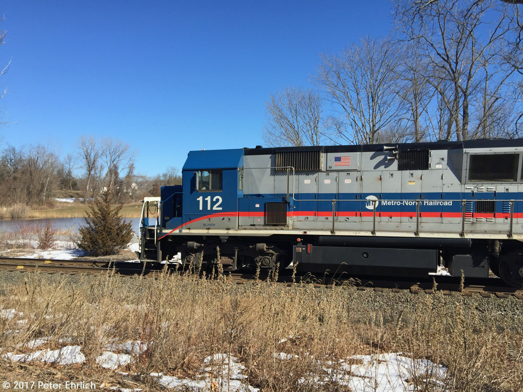
METRO-NORTH--112 lv Patterson OB. 3 of 3

METRO-NORTH--112 lv Patterson OB. 1 of 3

Bulls Bridge V

Inside Dover Stone Church 2

INTO THE MIST

Camera Roll-147

Harlem Valley Psychiatric Center

Camera Roll-3260

Docked Boats

DUTCHESS COUNTY TRANSIT--509 lv Hannaford, Pawling, NY. 2 of 2

PCRR NewMilfordCT station c1970c

Harlem Valley Psychiatric Center

Updated "Chicken Wing" Bracket Pole (re-up)
Camera Roll-3154

Bulls Bridge over Housatonic River Gorge - Connecticut

Bulls Bridge - Connecticut

PCRR NewMilfordCT station c1970b

Kent Hollow Road, Kent, Connecticut

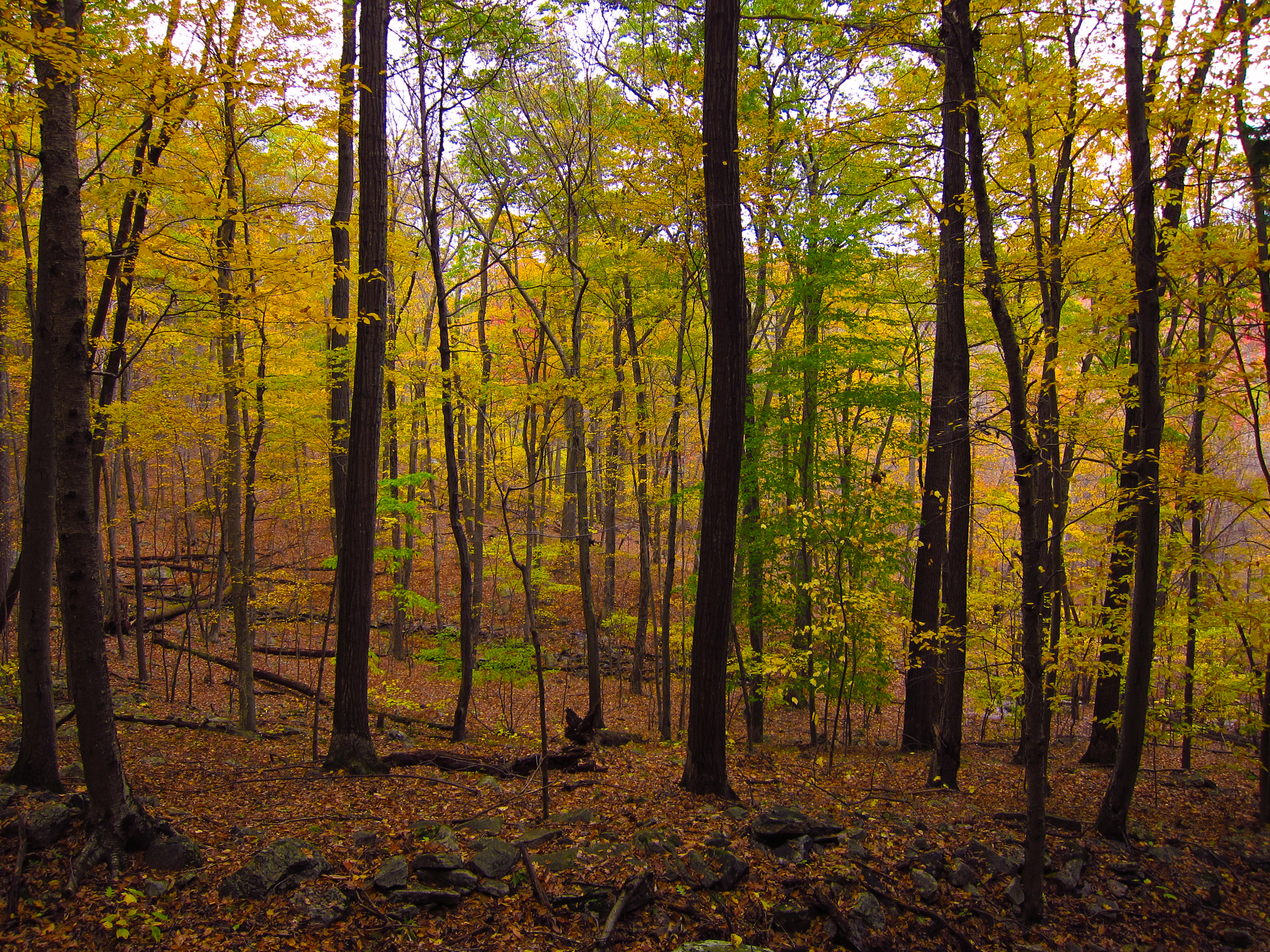
Autumn in New York

He Looked Toward The Light

Chimney Top

Bull's Bridge
a walk in the woods near sunset

Camera Roll-3263

Tree reflections distorted by ripples

Keep on Keeping on

Fall falls

New Milford in the Fall

Stone Church

Entrance to Dover Stone Church

Kent Hollow Road, Litchfield County, Connecticut

See the Light

Fluid Situation

Camera Roll-8

Bulls Bridge Interior
Topographic Map of NY-22, Wingdale, NY, USA
Find elevation by address:

Places near NY-22, Wingdale, NY, USA:
Wingdale
Quaker Lake
470 N Quaker Hill Rd
Anderson Road
15 Smoke Ridge Dr
15 Evans Hill Rd
22 Anderson Rd Ext
25 Sumner Ln
959 Old Quaker Hill Rd
55 Colonial Ridge Dr
5 Meeting House Rd
Pawling
14 Hickory Ln
4 Bittersweet Ln
15 Old Stagecoach Rd
14 Pleasant Ridge Rd, Poughquag, NY, USA
1-17 Church Rd
135 Stowe Dr
135 Stowe Dr
Sherman, CT, USA
Recent Searches:
- Elevation of Corso Fratelli Cairoli, 35, Macerata MC, Italy
- Elevation of Tallevast Rd, Sarasota, FL, USA
- Elevation of 4th St E, Sonoma, CA, USA
- Elevation of Black Hollow Rd, Pennsdale, PA, USA
- Elevation of Oakland Ave, Williamsport, PA, USA
- Elevation of Pedrógão Grande, Portugal
- Elevation of Klee Dr, Martinsburg, WV, USA
- Elevation of Via Roma, Pieranica CR, Italy
- Elevation of Tavkvetili Mountain, Georgia
- Elevation of Hartfords Bluff Cir, Mt Pleasant, SC, USA