Elevation of Sherman, CT, USA
Location: United States > Connecticut > Fairfield County > Sherman >
Longitude: -73.500511
Latitude: 41.5773
Elevation: 146m / 479feet
Barometric Pressure: 100KPa
Elevation Map:
Satellite Map:
Related Photos:
Camera Roll-147
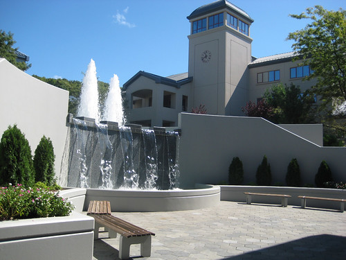
New Fountains, View of Clocktower
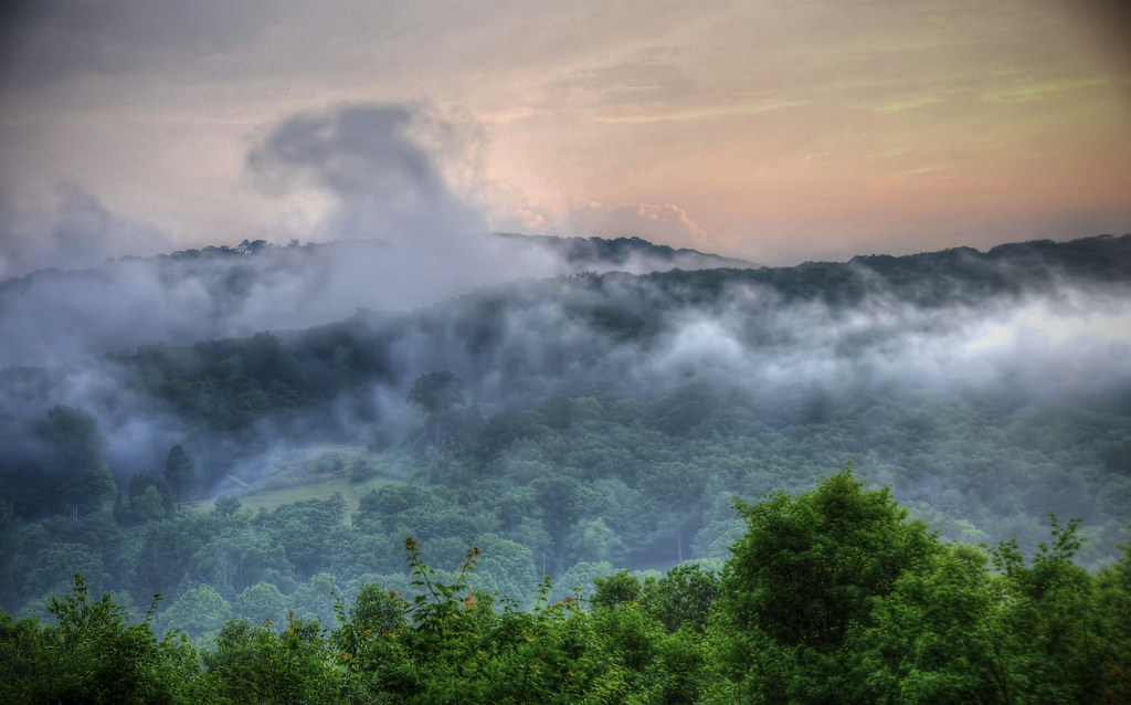
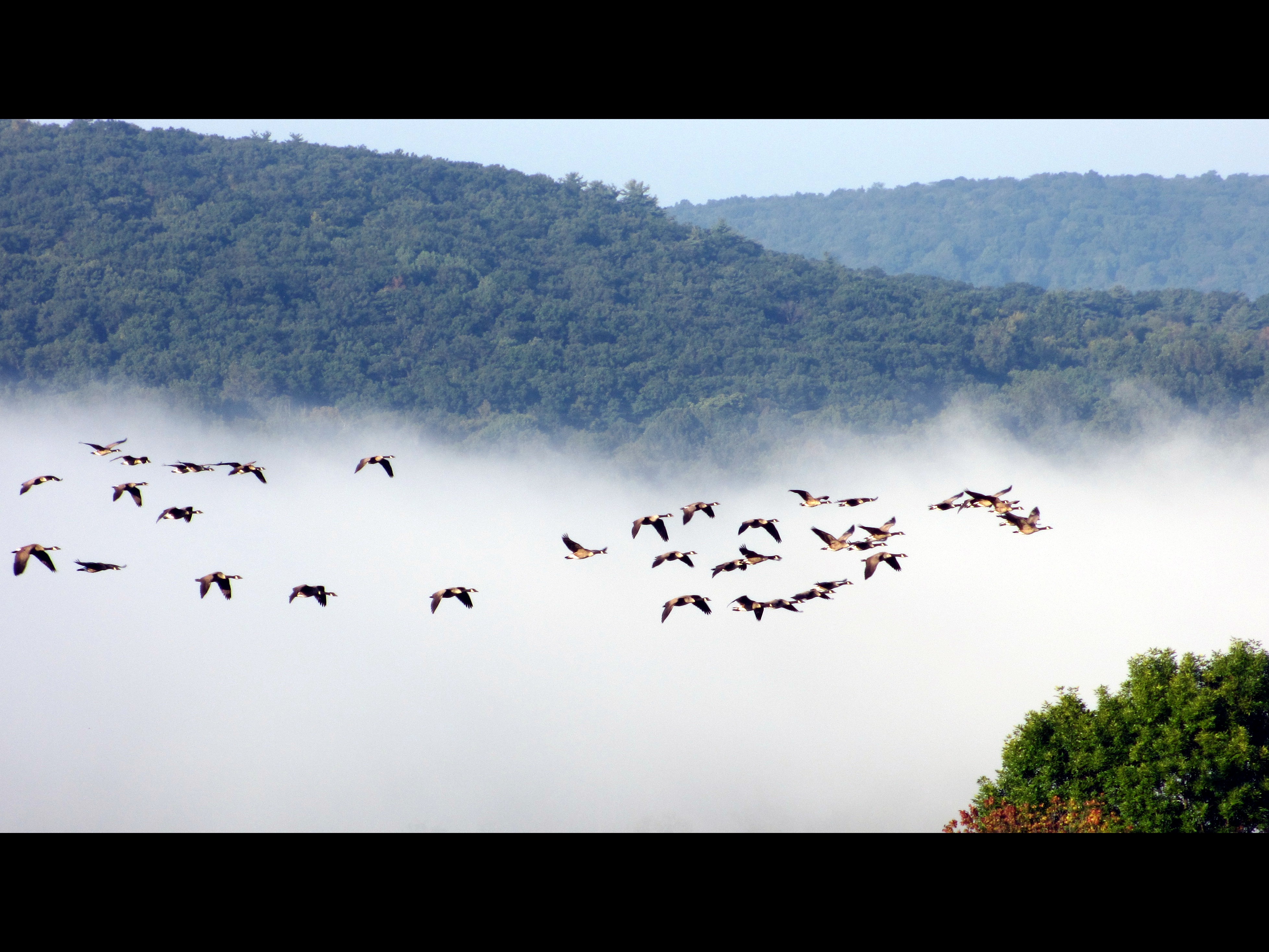
Foggy Foothills

candlewood lake
Astra/Obscura
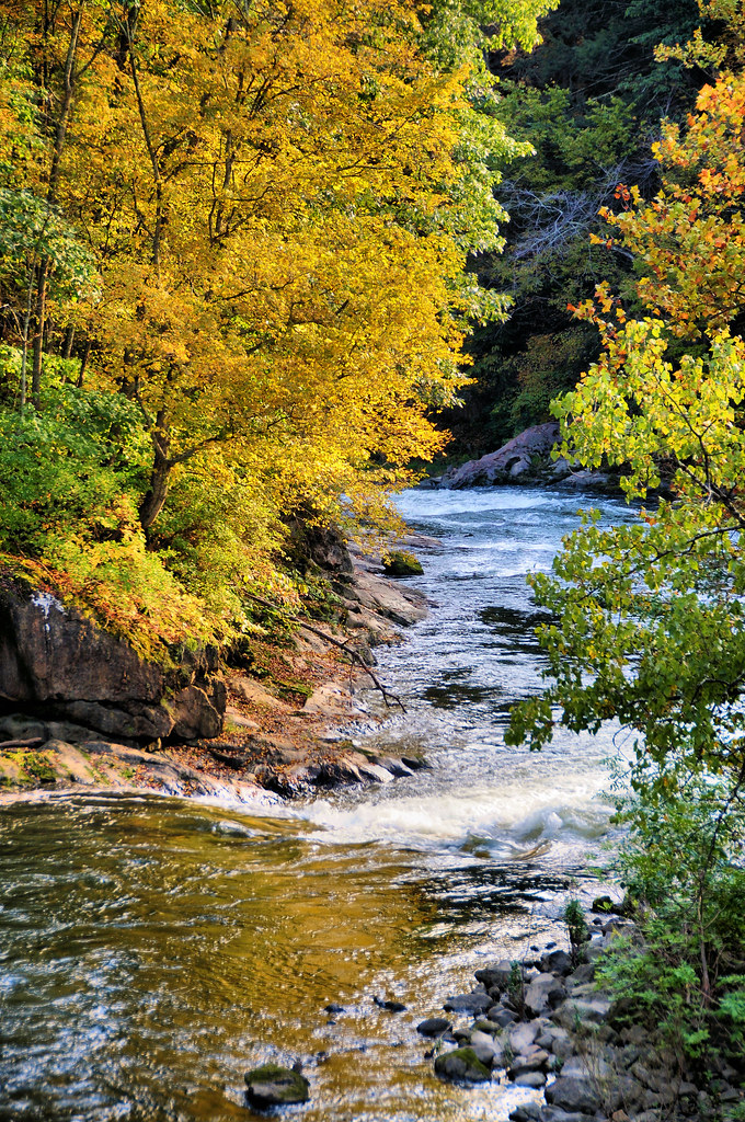
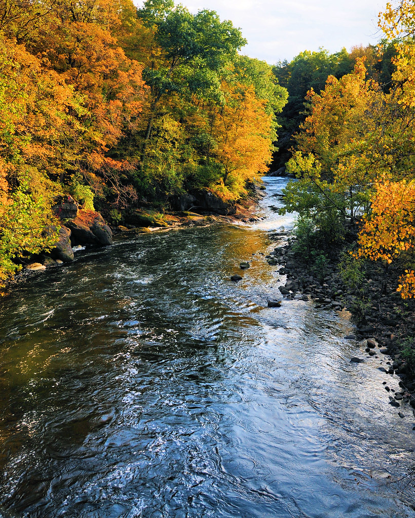
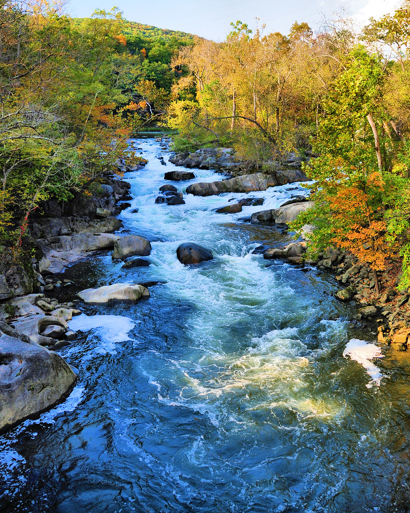
The Stream in Fall

The view from here
Out of the Fog
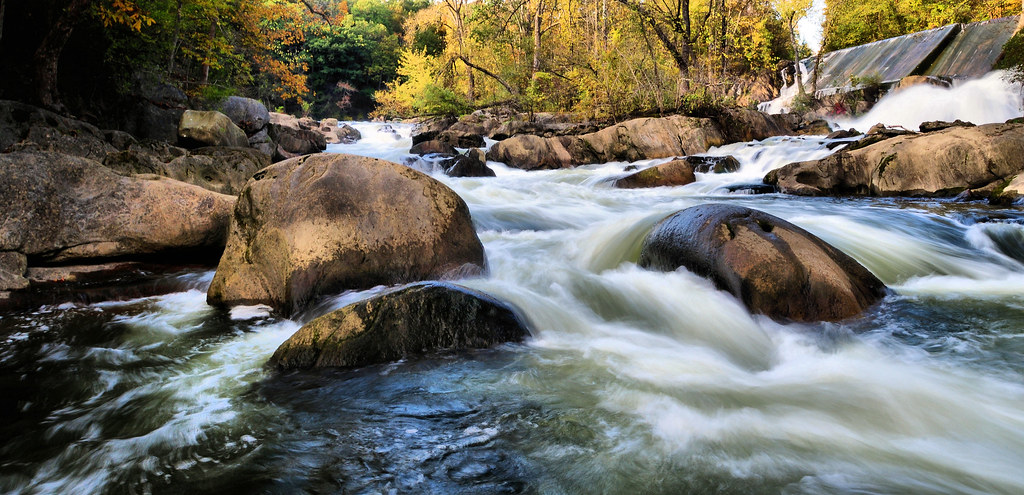
Upstream 1
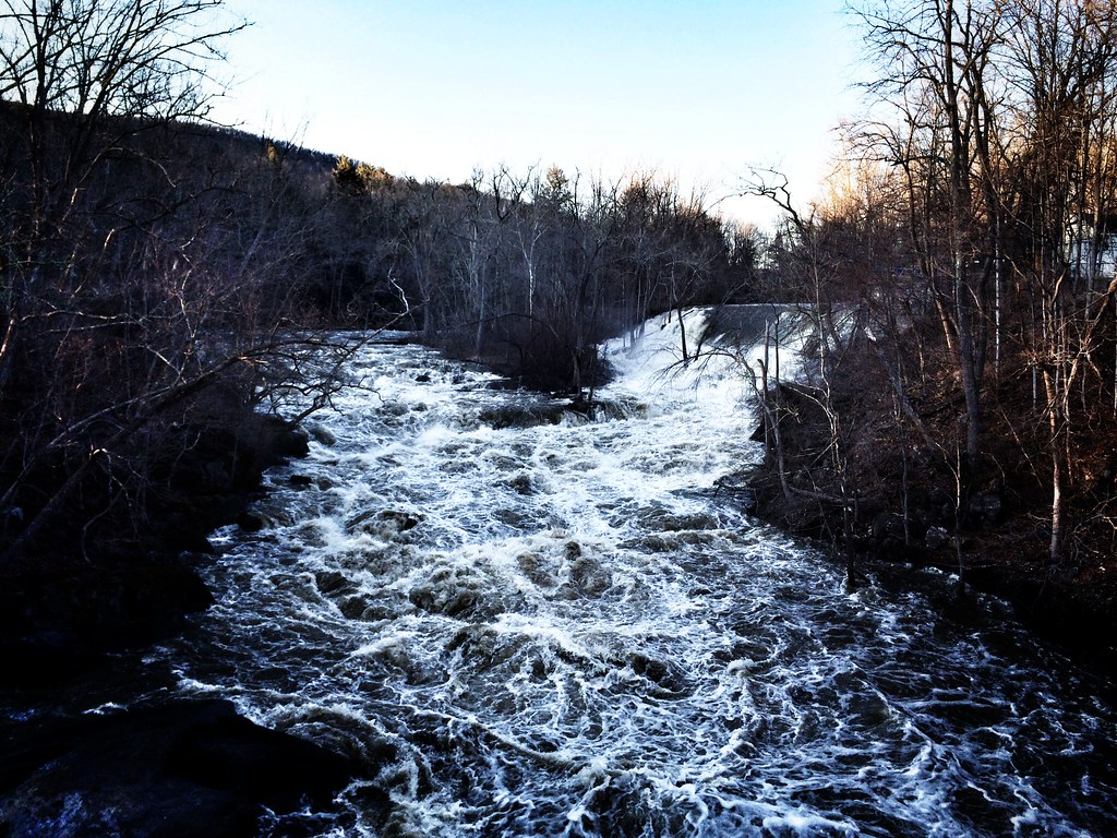
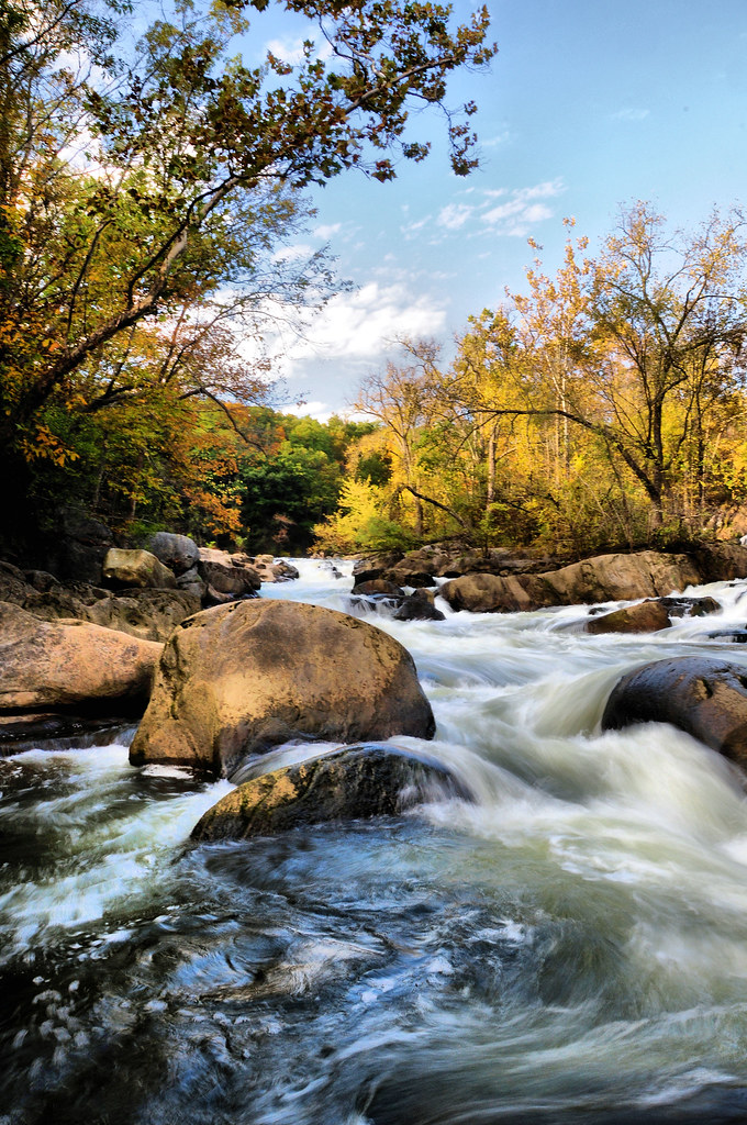
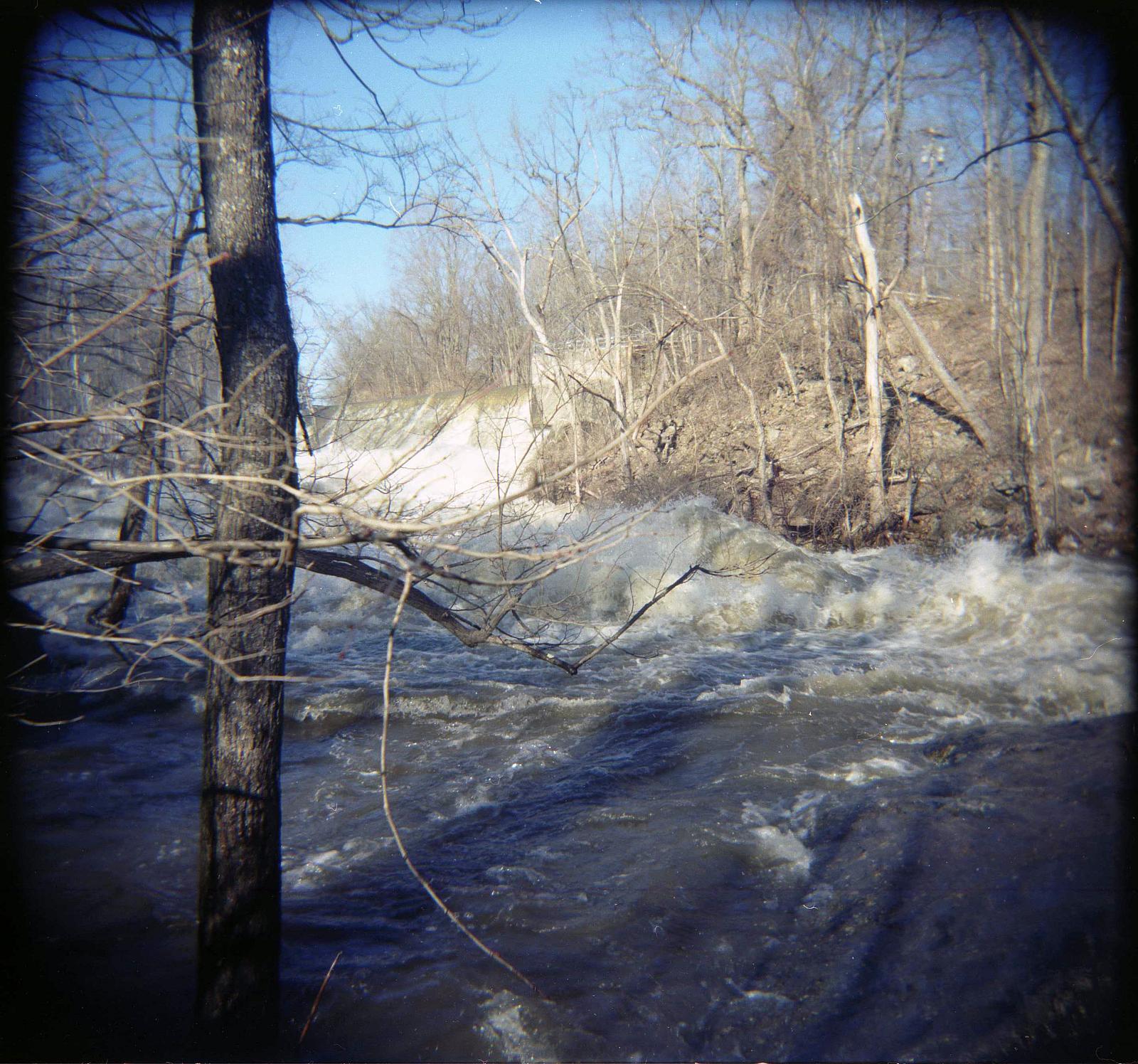
Racing stream
Upstream 2
Our view for the next 3 days.
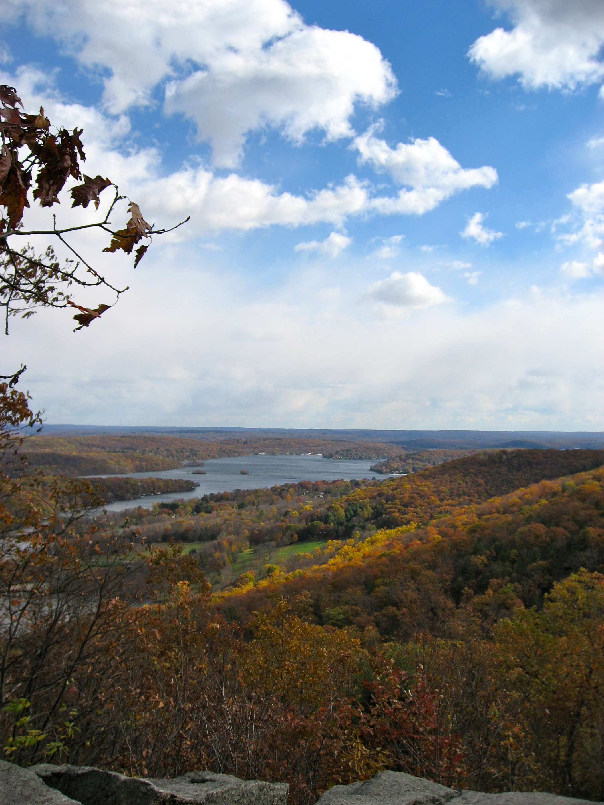
Upper View
Bulls Bridge V
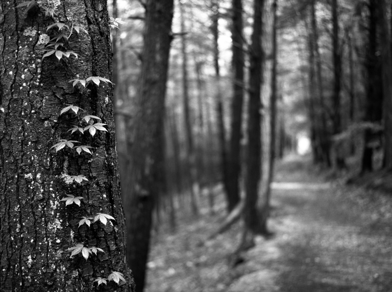
Ivy and the Path

View from Below

2012 July, Den's Mom's back view_stitch

old woman
Mountain Stream

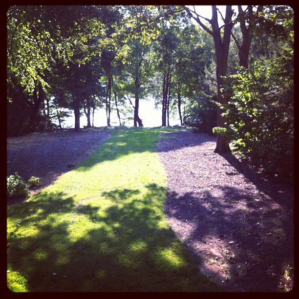
View of Lake

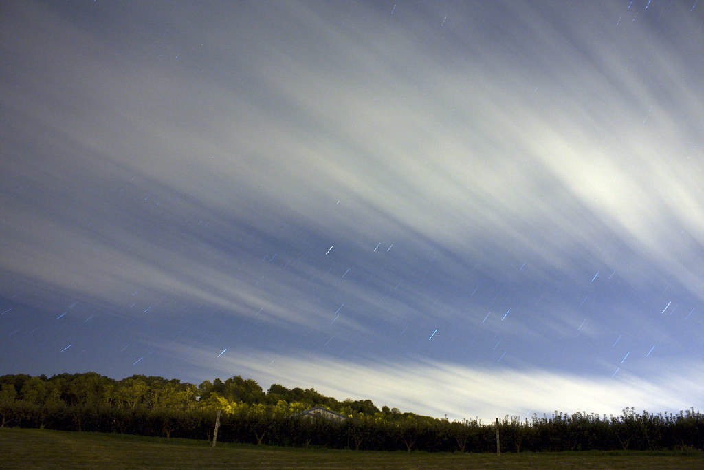
Bright Moon

Subtle Presence
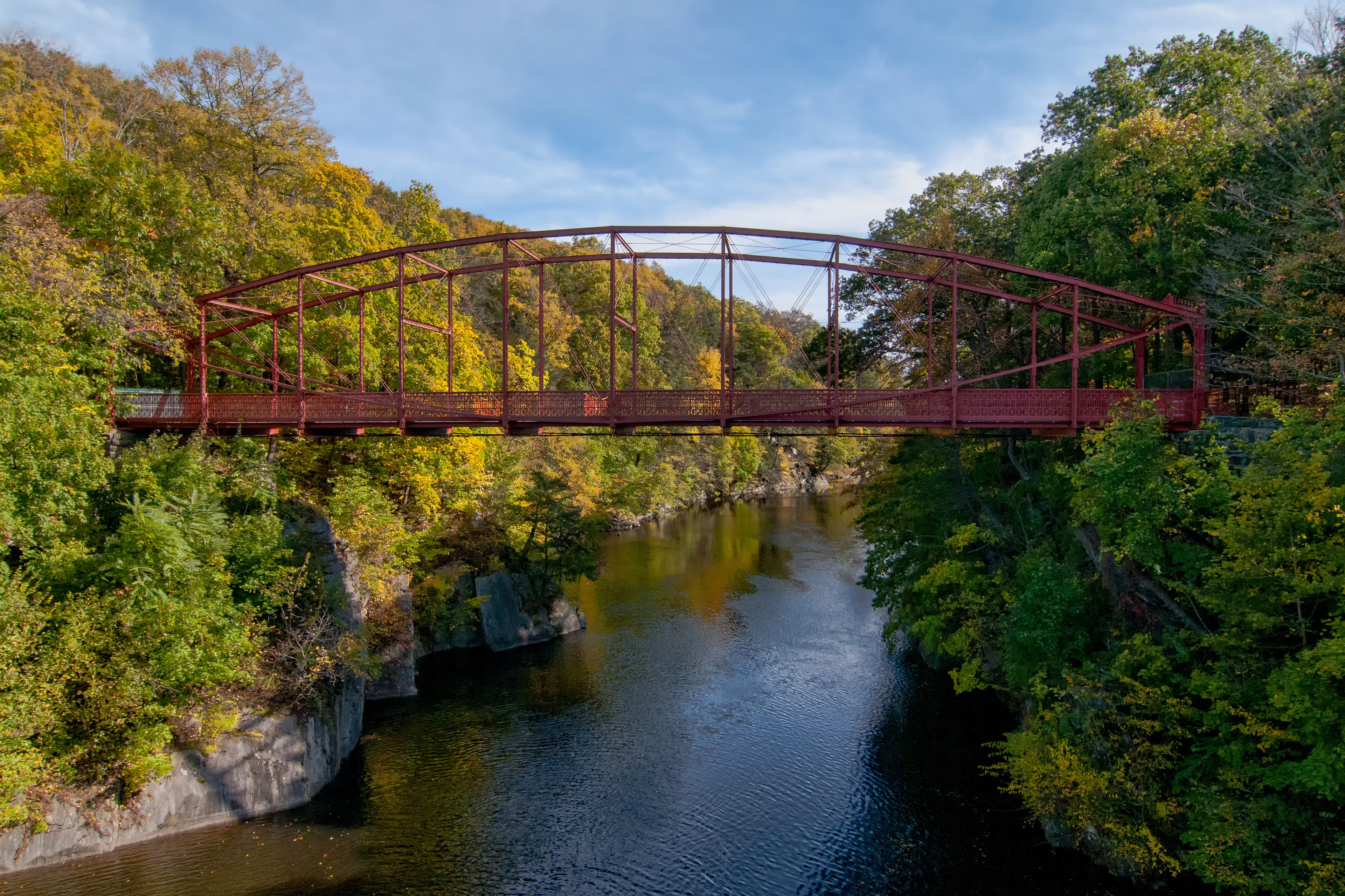
Bull's Bridge

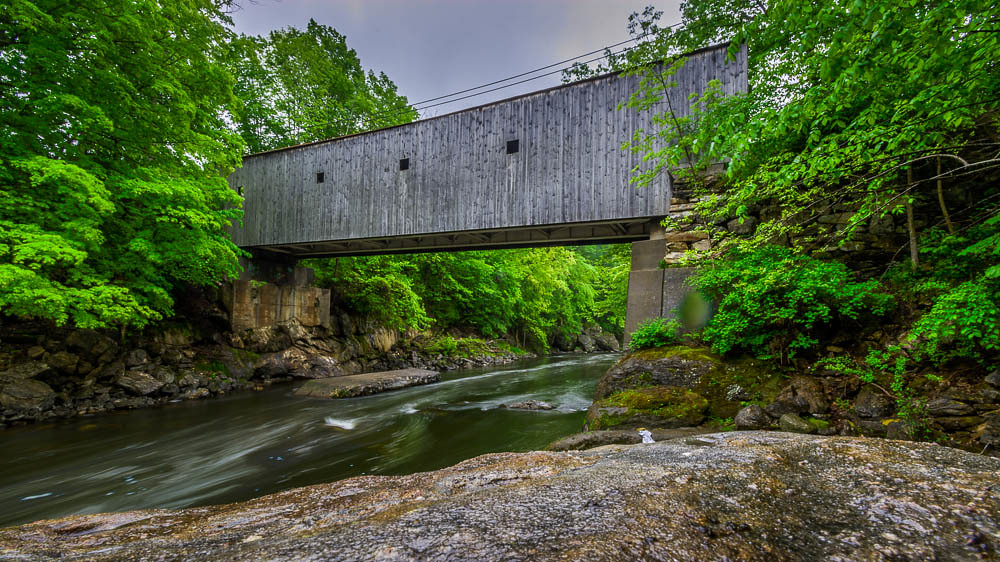
Bulls Bridge Interior
Falls Bridge, Lover's Leap State Park, New Milford, Connecticut

Tree reflections distorted by ripples

Homestead Red
Suggestive Sky
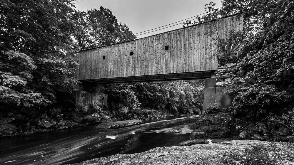
Bull's Bridge

Tree reflections distorted by ripples

The boardwalk

Rest Stop on Bikers Run! Here for a PitStop!!!

Fire Fire
App trail
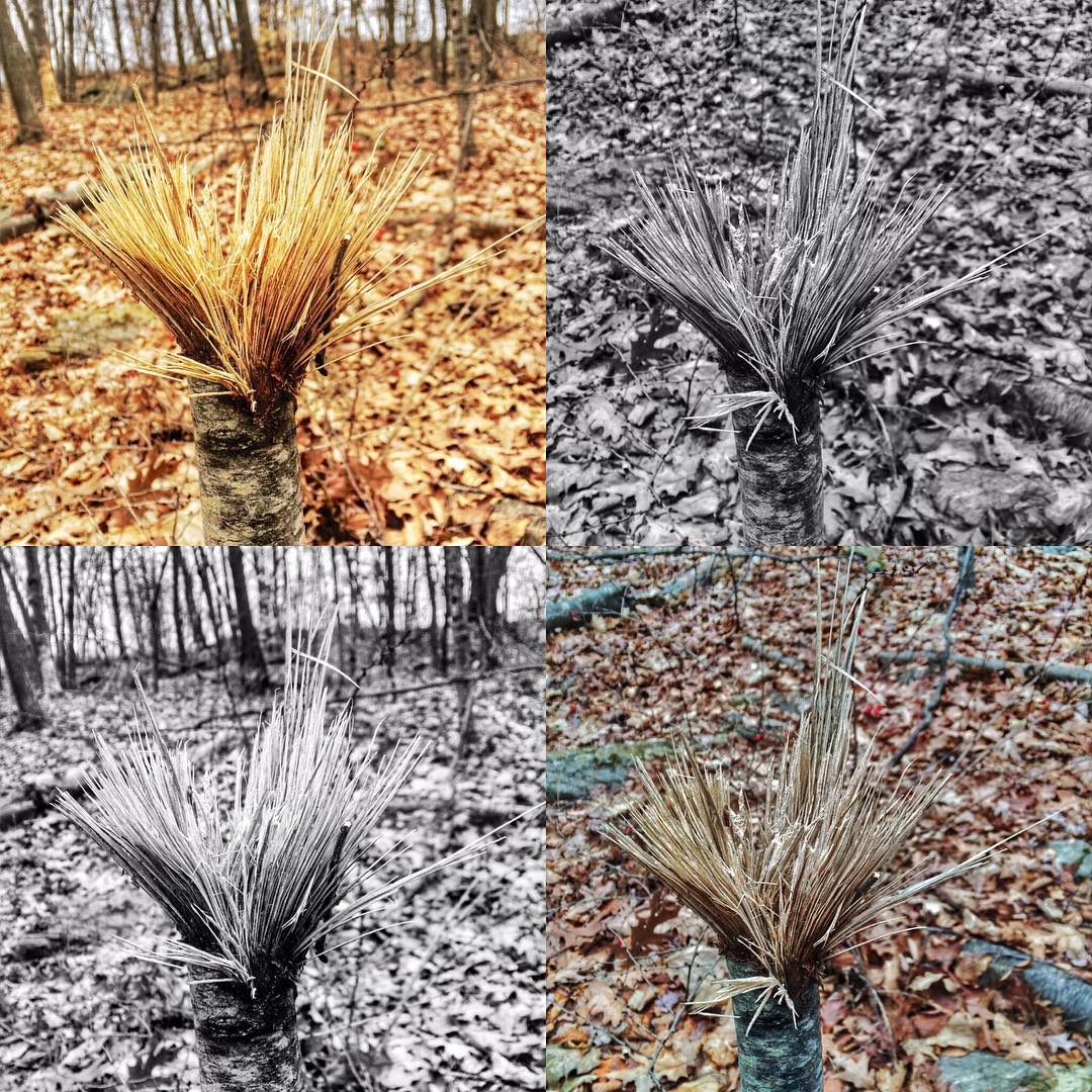
Out for a walk with Nate, down behind the New Fairfield town park.#frost #woods #winter #wilderness #nature #trees #newengland #colors #pretty #wild #natureisbeautiful #beautifulct #naturegram #tree_magic #tree_captures #landscape #landscapephotography #

Afternoon by the river

2013-05-25 10.30.31
Topographic Map of Sherman, CT, USA
Find elevation by address:

Places near Sherman, CT, USA:
Sherman
5 Chimney Hill Rd
3 Chimney Hill Rd
22 Cedar Ln
8 Brookside Ln
4 Cedar Lane Exd
14 Coburn Rd E, Sherman, CT, USA
4 Bittersweet Ln
5 Meeting House Rd
959 Old Quaker Hill Rd
51 Chapel Hill Rd
22 Anderson Rd Ext
470 N Quaker Hill Rd
1-17 Church Rd
15 Lakeview Dr
2 Cypress St
Anderson Road
15 Smoke Ridge Dr
55 Colonial Ridge Dr
15 Evans Hill Rd
Recent Searches:
- Elevation of Corso Fratelli Cairoli, 35, Macerata MC, Italy
- Elevation of Tallevast Rd, Sarasota, FL, USA
- Elevation of 4th St E, Sonoma, CA, USA
- Elevation of Black Hollow Rd, Pennsdale, PA, USA
- Elevation of Oakland Ave, Williamsport, PA, USA
- Elevation of Pedrógão Grande, Portugal
- Elevation of Klee Dr, Martinsburg, WV, USA
- Elevation of Via Roma, Pieranica CR, Italy
- Elevation of Tavkvetili Mountain, Georgia
- Elevation of Hartfords Bluff Cir, Mt Pleasant, SC, USA