Elevation of NY-10, Jefferson, NY, USA
Location: United States > New York > Schoharie County > Jefferson > Jefferson >
Longitude: -74.611834
Latitude: 42.489638
Elevation: 598m / 1962feet
Barometric Pressure: 0KPa
Related Photos:

The Other Side Of The Road
cst-hills

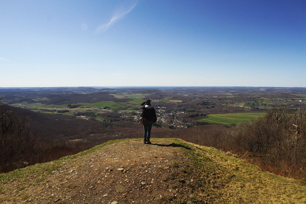
Another View from the Clear Cut

Minekill Falls
view from south hill

A different kind of Flyer.

Babcock Homestead Barn - Built 1883

Warner 10
Another View from the Clear Cut

Little Known View of Mine Kill Falls

Big Yellow House

Mount Utsayantha

View from Artist Studio
View of Gorge Walls
April 10 (100/365)
View from Middle Landing

Morning Mist, Stamford
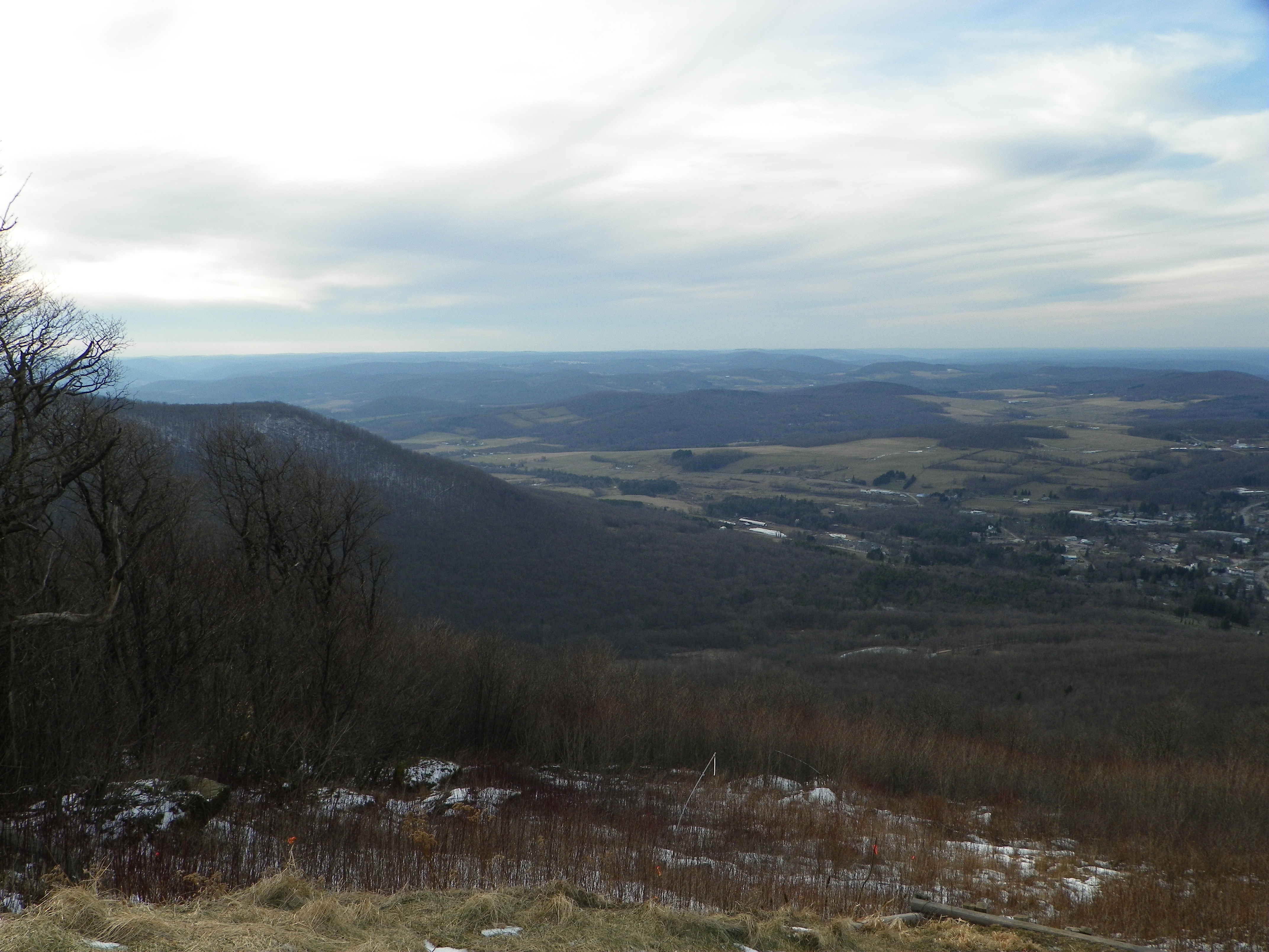
Fire tower view.

View Into Valley

Reservior View

Mount Utsayantha

Blenheim Covered Bridge
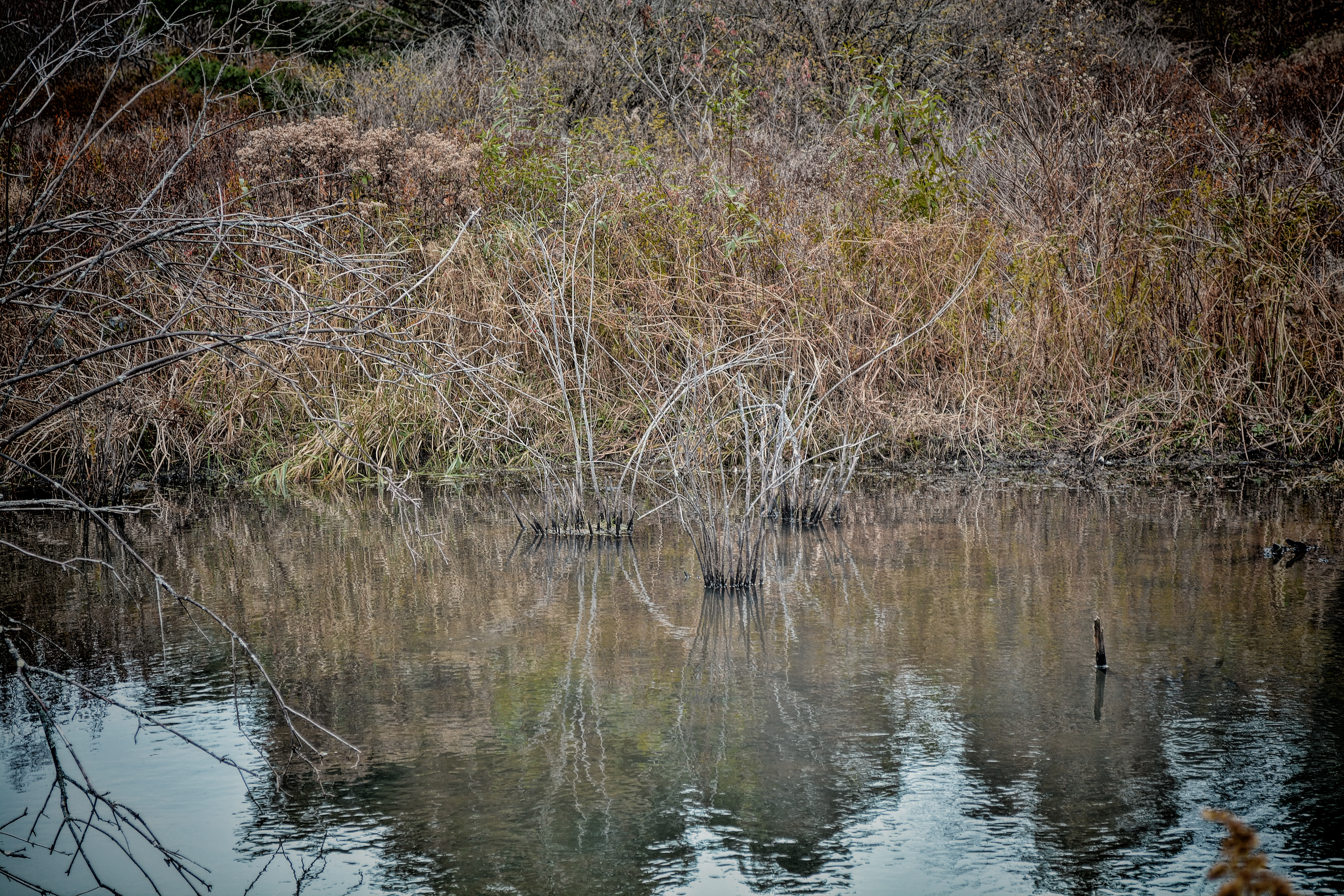
Mace Wetlands Park

Small Lake

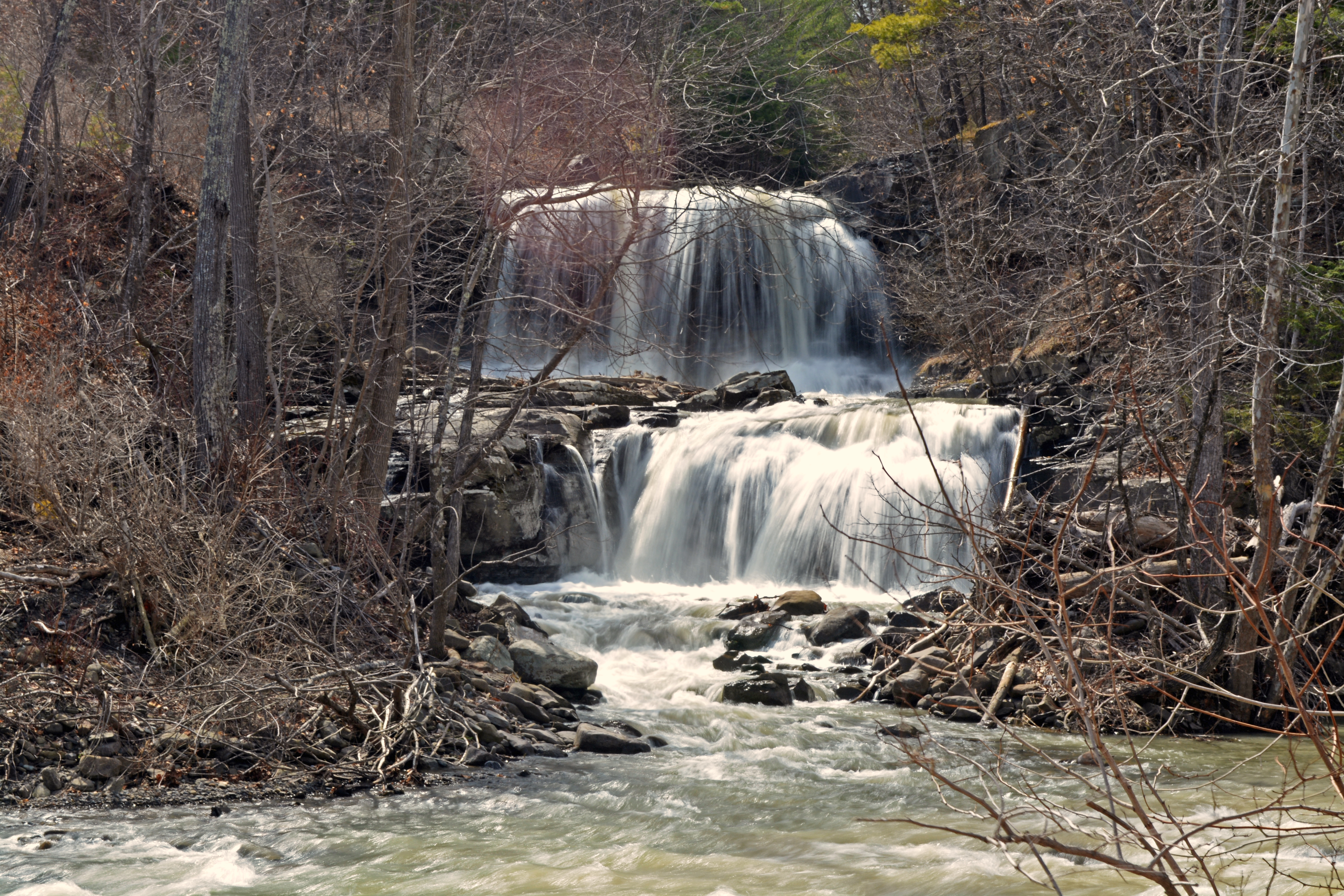
Mine Kill Falls

Mallet Pond Dam

Abandoned Farm

Clapper Hollow State Forest - New York

Mallet Pond

Through the trees

A Tree

Small Pond

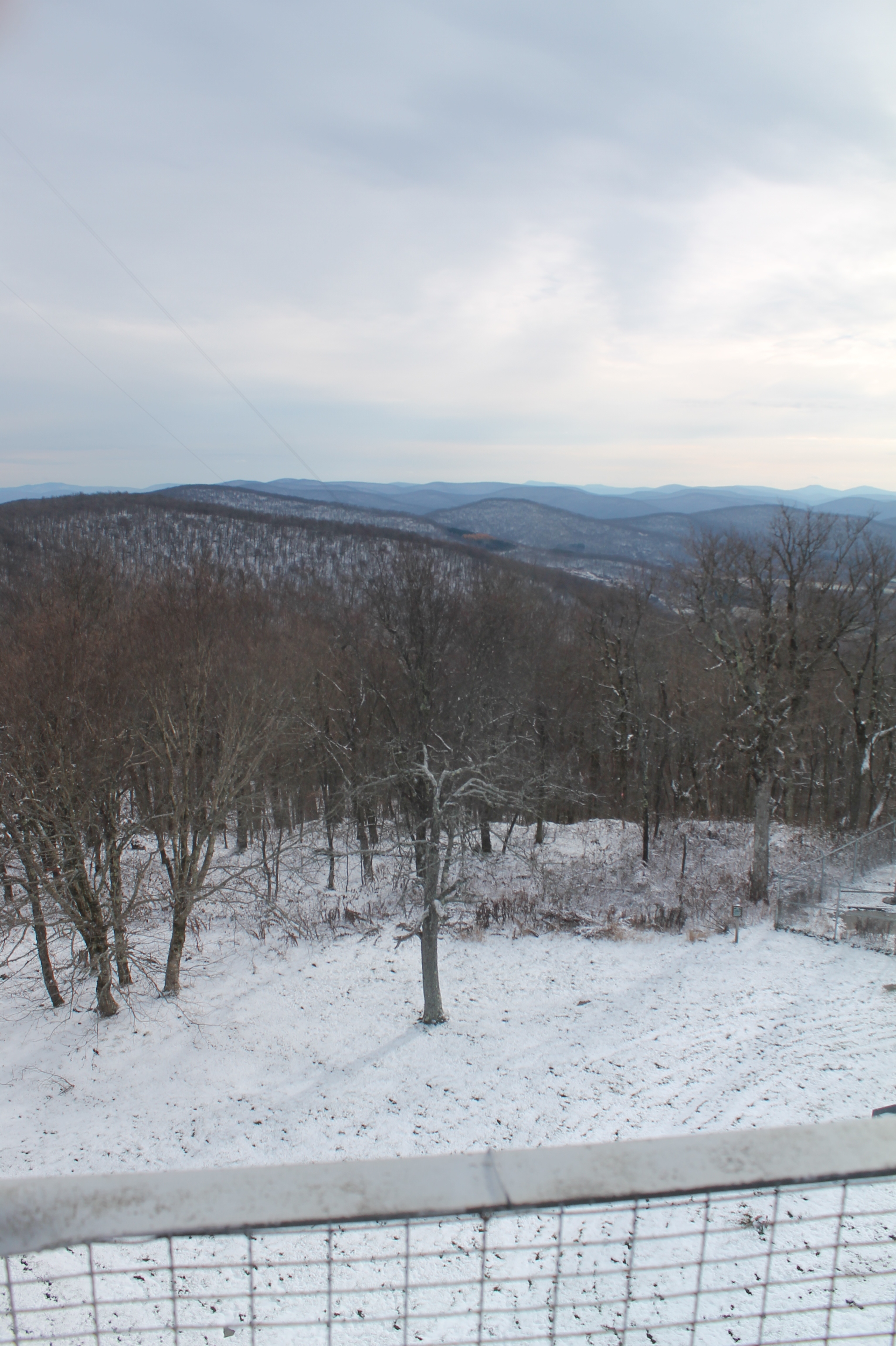
Snow Day
Mill Creek Falls

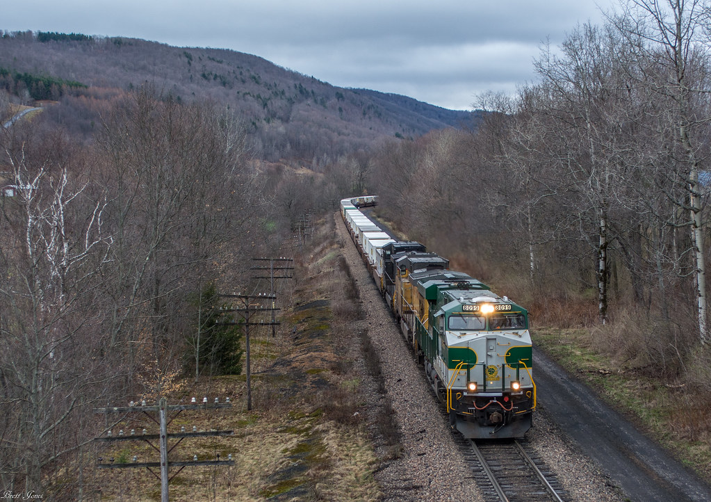
NS 930 at Brooker Hollow
934 at CPF528 in East Worcester

253 at CPF528

Barn No. 26

Open Worlds

Mt Utsayantha
Topographic Map of NY-10, Jefferson, NY, USA
Find elevation by address:

Places near NY-10, Jefferson, NY, USA:
Jefferson
106 Park Ave
Jefferson
Jefferson, NY, USA
356 Moxley St
214 Sunrise Sunset Dr
107 Tree Stand Ln
Veley Road
Peraglie Road
480 Meade Rd
887 Cape Horn Rd
Brookview Drive
664 Cape Horn Rd
136 Lawrence Mountain Rd
136 Lawrence Mountain Rd
136 Lawrence Mountain Rd
136 Lawrence Mountain Rd
371 Kemper Mountain Rd
371 Kemper Mountain Rd
1166 Middlebrook Hill Rd
Recent Searches:
- Elevation map of Greenland, Greenland
- Elevation of Sullivan Hill, New York, New York, 10002, USA
- Elevation of Morehead Road, Withrow Downs, Charlotte, Mecklenburg County, North Carolina, 28262, USA
- Elevation of 2800, Morehead Road, Withrow Downs, Charlotte, Mecklenburg County, North Carolina, 28262, USA
- Elevation of Yangbi Yi Autonomous County, Yunnan, China
- Elevation of Pingpo, Yangbi Yi Autonomous County, Yunnan, China
- Elevation of Mount Malong, Pingpo, Yangbi Yi Autonomous County, Yunnan, China
- Elevation map of Yongping County, Yunnan, China
- Elevation of North 8th Street, Palatka, Putnam County, Florida, 32177, USA
- Elevation of 107, Big Apple Road, East Palatka, Putnam County, Florida, 32131, USA
- Elevation of Jiezi, Chongzhou City, Sichuan, China
- Elevation of Chongzhou City, Sichuan, China
- Elevation of Huaiyuan, Chongzhou City, Sichuan, China
- Elevation of Qingxia, Chengdu, Sichuan, China
- Elevation of Corso Fratelli Cairoli, 35, Macerata MC, Italy
- Elevation of Tallevast Rd, Sarasota, FL, USA
- Elevation of 4th St E, Sonoma, CA, USA
- Elevation of Black Hollow Rd, Pennsdale, PA, USA
- Elevation of Oakland Ave, Williamsport, PA, USA
- Elevation of Pedrógão Grande, Portugal