Elevation of Brookview Drive, Brookview Dr, Stamford, NY, USA
Location: United States > New York > Delaware County > Stamford > Stamford >
Longitude: -74.582502
Latitude: 42.4430419
Elevation: 570m / 1870feet
Barometric Pressure: 95KPa
Elevation Map:
Satellite Map:
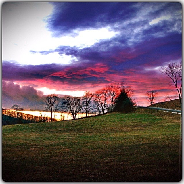
Related Photos:
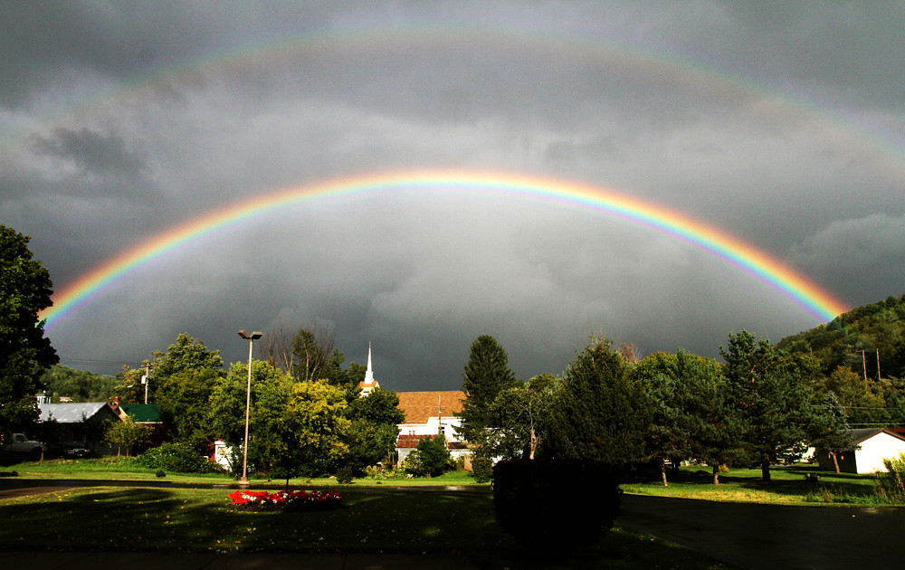
September 4 (247/365)

cst-hills

Mine Kill State Park
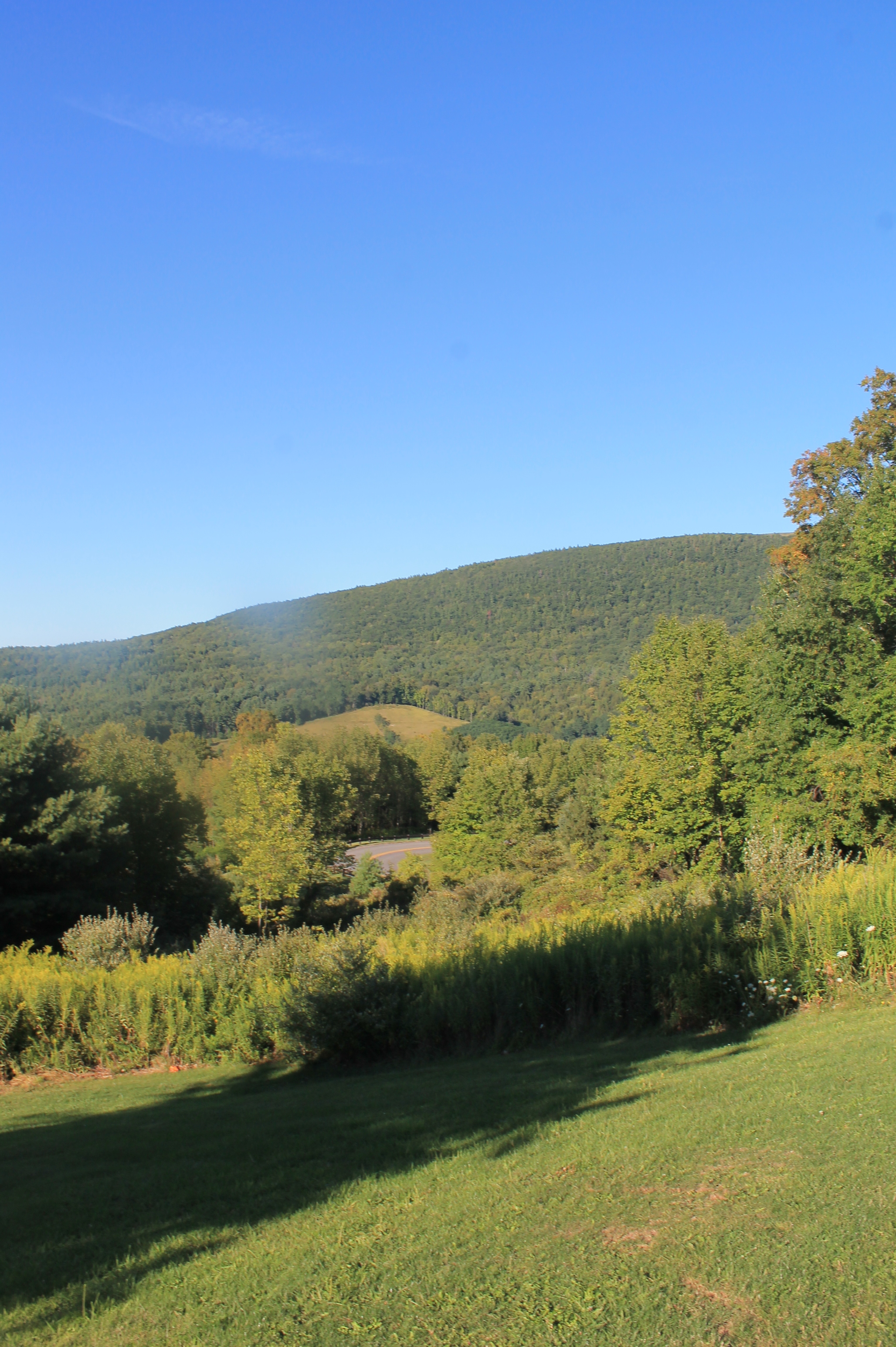
View Into Valley
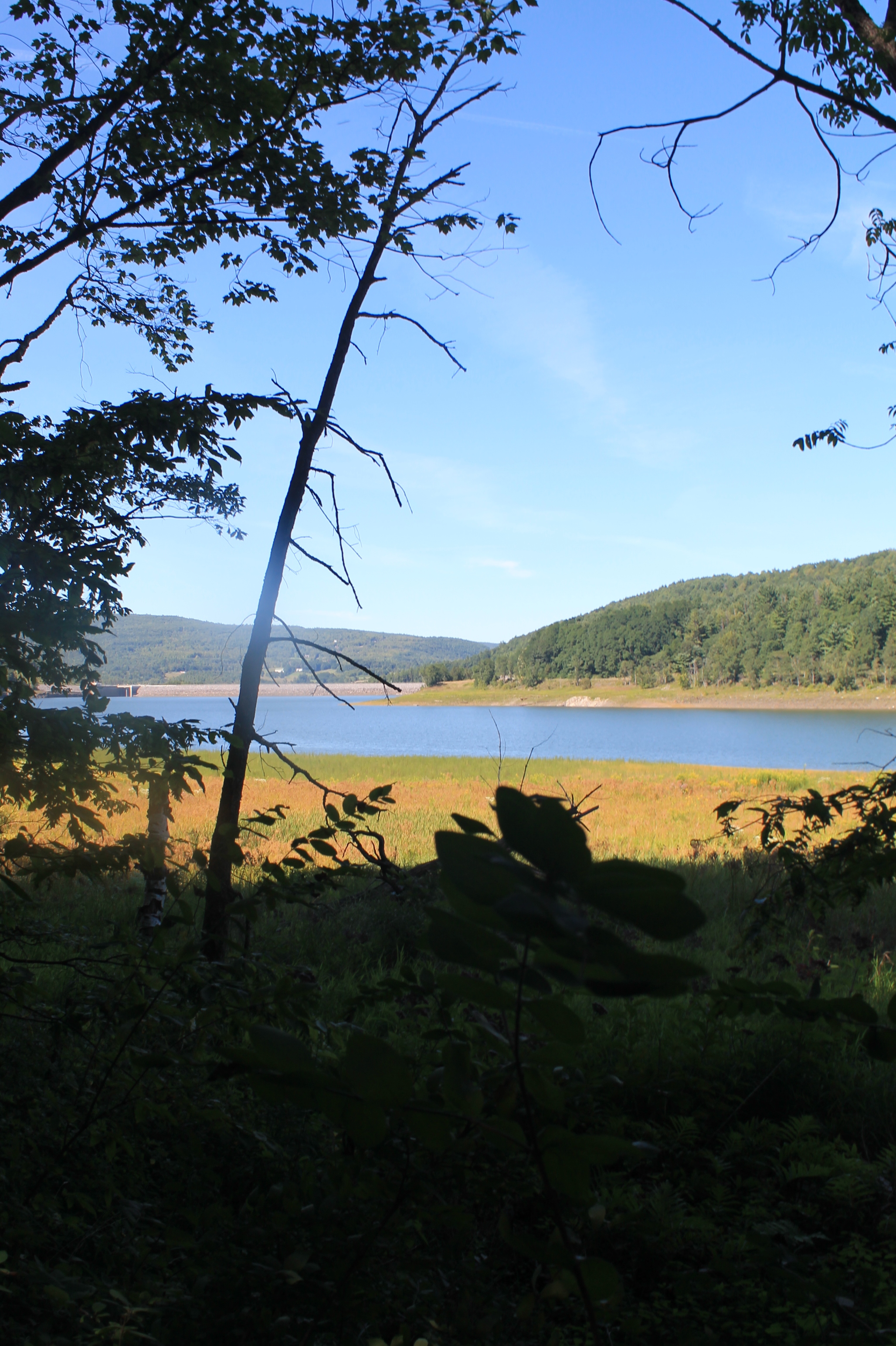
Reservior View
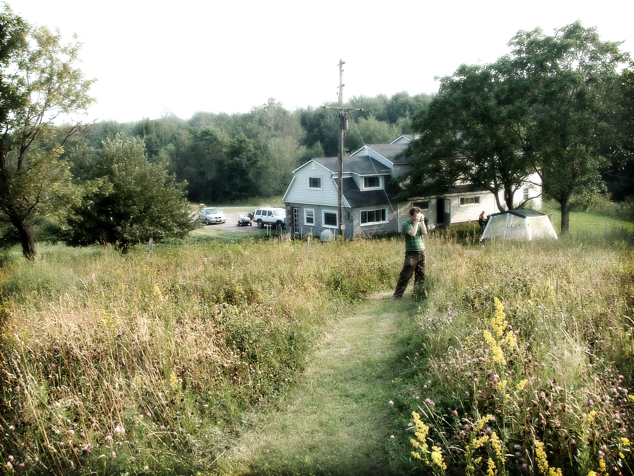
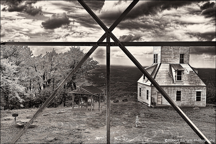
The Aspiring Photographers

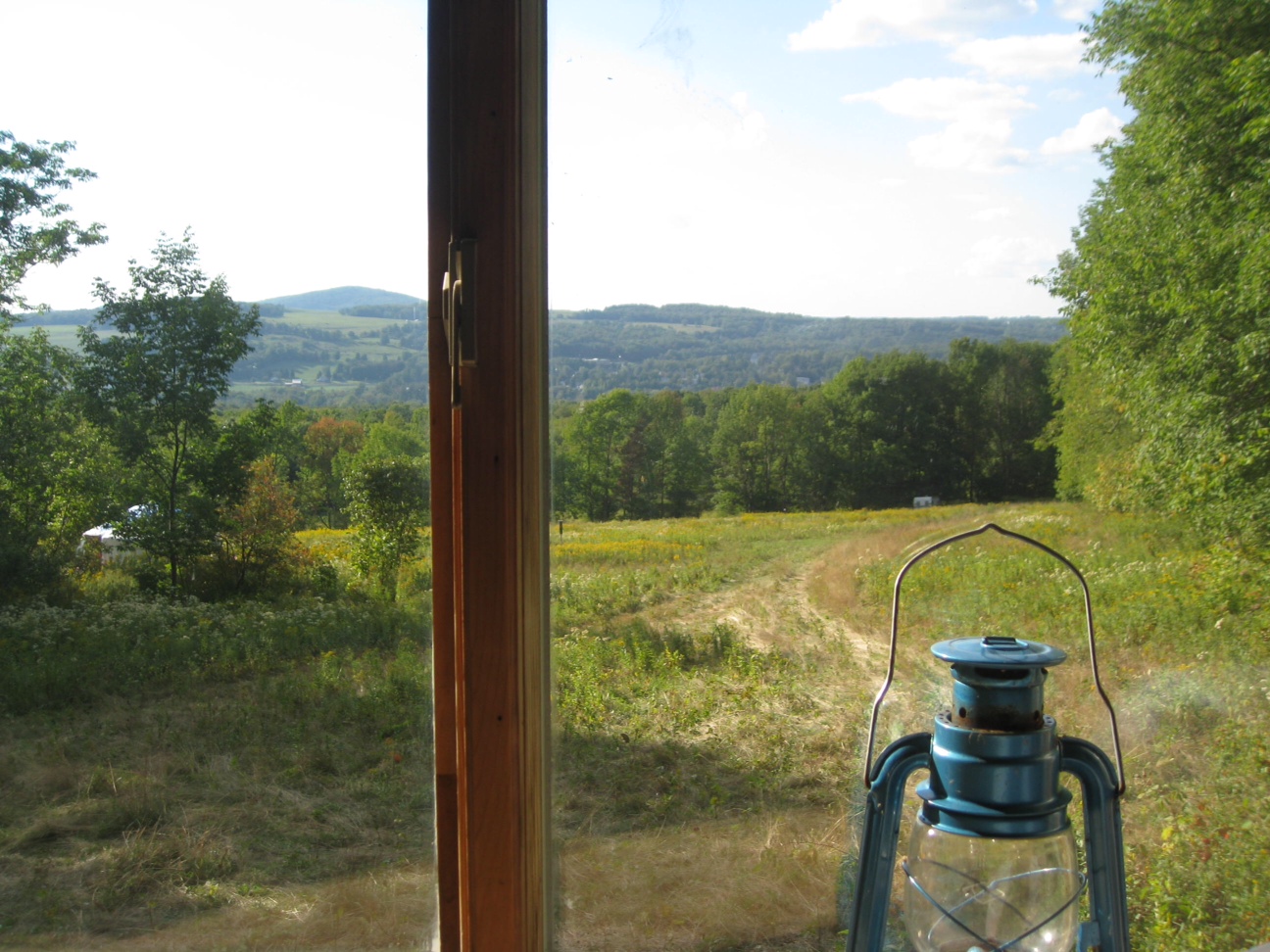
Window view through curtain.
On Mount Utsayantha

Warner 10

Mine Kill State Park

Grand Gorge, NY 20031014 076 view from New York State Route 30

View of Gorge Walls

Grand Gorge, NY 20031014 075 view from New York State Route 30

Little Known View of Mine Kill Falls

Time for take off...

View from Middle Landing

Madalyn's Place

View from fire tower

Fire tower view.

fossil beach view
View from Artist Studio

Gone Fishing
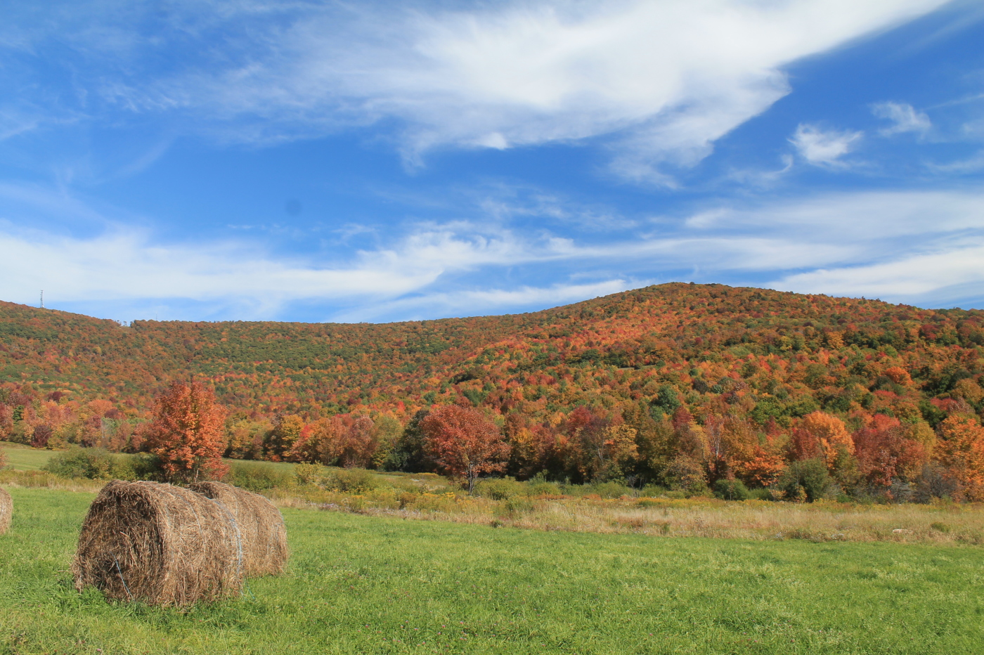
Moresville Range

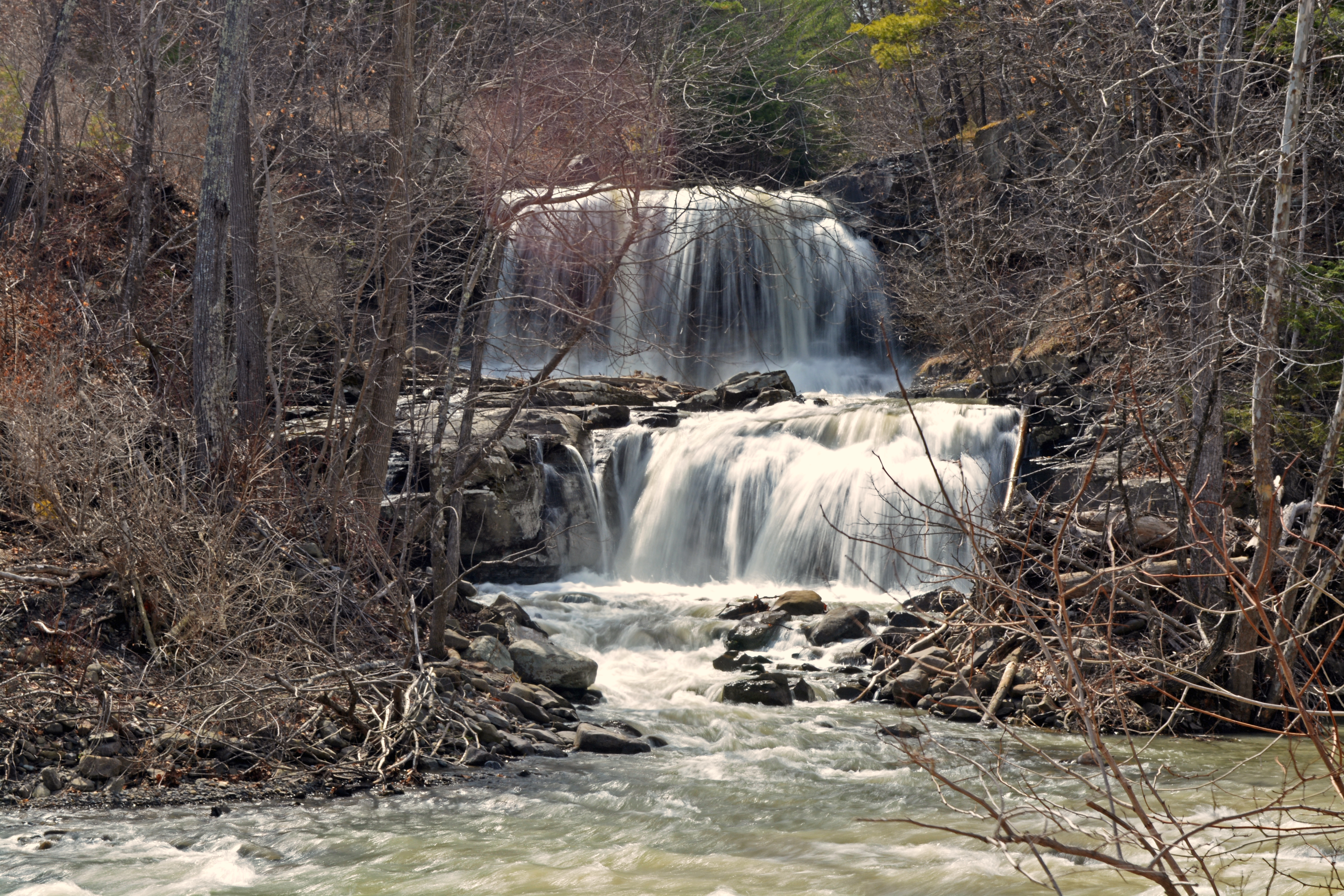
Waterfall on Tributary of Panther Creek - #9

Waterfall on Tributary of Panther Creek - #12

Waterfall on Tributary of Panther Creek - #12

Waterfall on Tributary of Panther Creek - #2

Waterfall on Tributary of Panther Creek - #10

Waterfall on Tributary of Panther Creek - #2

Falls on Tributary of Panther Creek - #1

Waterfall on Tributary of Panther Creek - #8

Waterfall on Tributary of Panther Creek - #5

Waterfall on Tributary of Panther Creek - #9

Waterfall on Tributary of Panther Creek - #11

Falls on Tributary of Panther Creek - #1
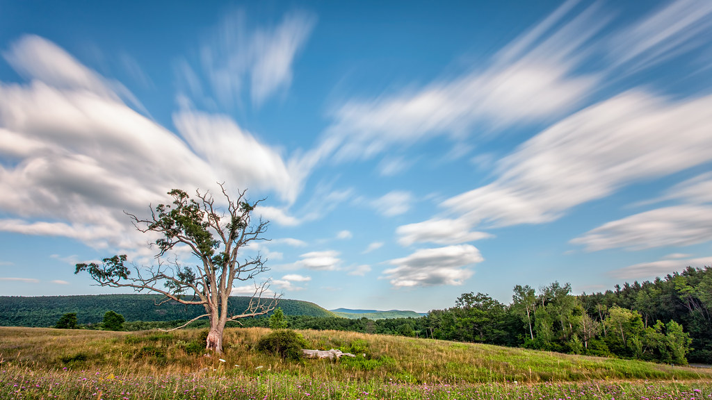
A Tree
Mill Creek Falls

IMAG0391.jpg

top o' the hill
One of my older ones
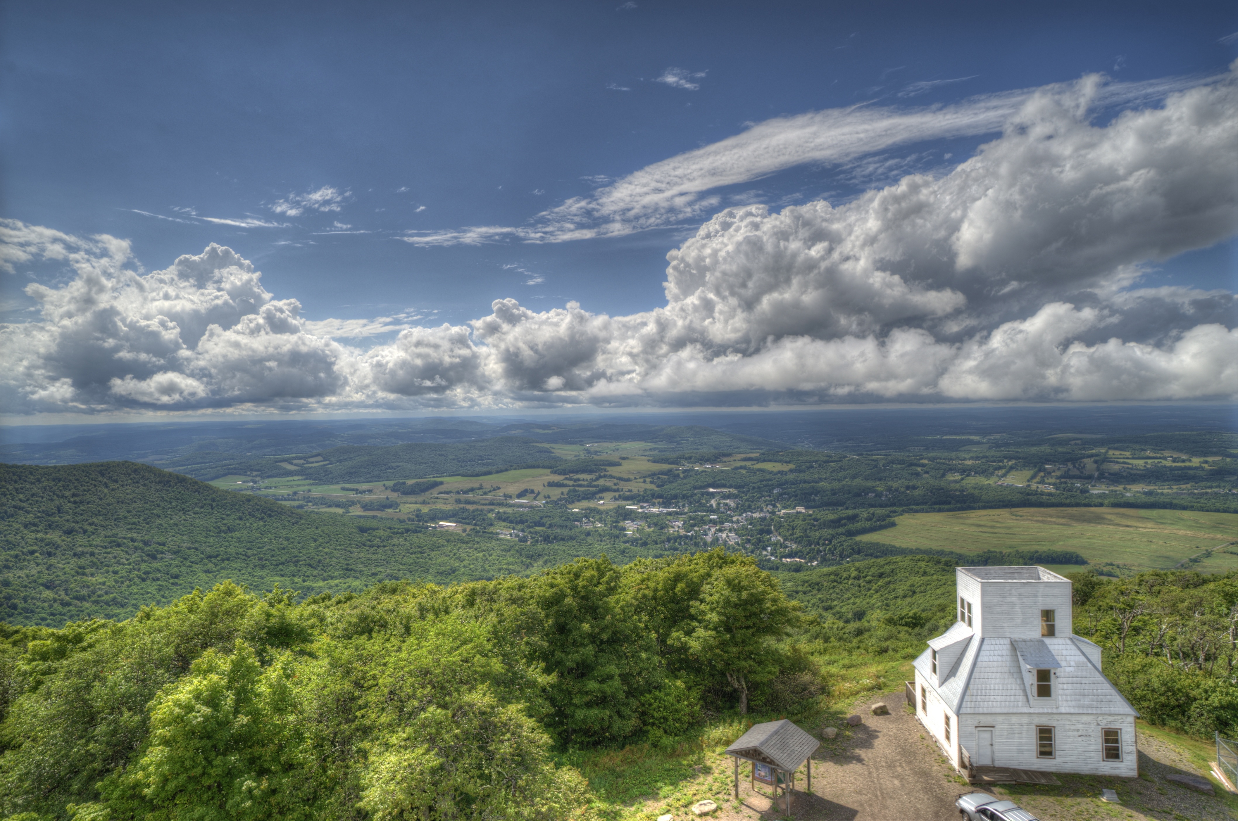
Mt Utsayantha
Topographic Map of Brookview Drive, Brookview Dr, Stamford, NY, USA
Find elevation by address:

Places near Brookview Drive, Brookview Dr, Stamford, NY, USA:
887 Cape Horn Rd
371 Kemper Mountain Rd
371 Kemper Mountain Rd
136 Lawrence Mountain Rd
136 Lawrence Mountain Rd
136 Lawrence Mountain Rd
136 Lawrence Mountain Rd
664 Cape Horn Rd
Blackberry Street
Veley Road
466 Blackberry St
214 Sunrise Sunset Dr
11 Prospect St
Jefferson
106 Park Ave
Stamford
7 Academy St
12 Roosevelt Ave
3 Prospect
2420 Tower Mountain Rd
Recent Searches:
- Elevation of Corso Fratelli Cairoli, 35, Macerata MC, Italy
- Elevation of Tallevast Rd, Sarasota, FL, USA
- Elevation of 4th St E, Sonoma, CA, USA
- Elevation of Black Hollow Rd, Pennsdale, PA, USA
- Elevation of Oakland Ave, Williamsport, PA, USA
- Elevation of Pedrógão Grande, Portugal
- Elevation of Klee Dr, Martinsburg, WV, USA
- Elevation of Via Roma, Pieranica CR, Italy
- Elevation of Tavkvetili Mountain, Georgia
- Elevation of Hartfords Bluff Cir, Mt Pleasant, SC, USA