Elevation of Northside, Jamaica
Location: Jamaica > Trelawny Parish >
Longitude: -77.535056
Latitude: 18.485827
Elevation: 4m / 13feet
Barometric Pressure: 101KPa
Elevation Map:
Satellite Map:
Related Photos:

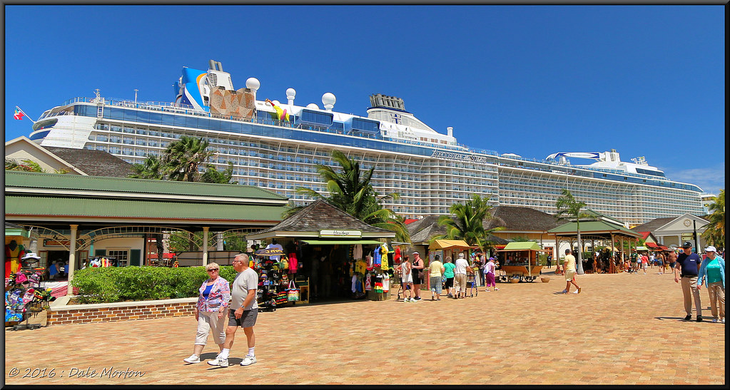
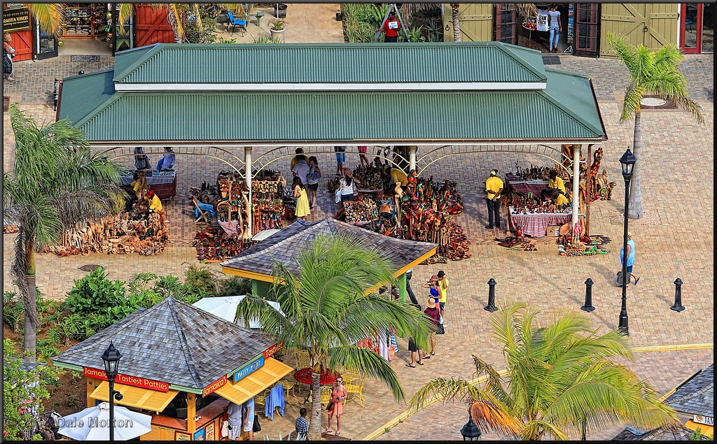
Falmouth ~ Jamaica

Falmouth, Jamaica
Falmouth, Jamaica
Falmouth, Jamaica

2011JEK0602083.jpg

Falmouth, Jamaica
Falmouth, Jamaica

Falmouth, Jamaica

Falmouth, Jamaica

Falmouth, Jamaica

Ocean View at Melia Braco Village

AllureOfTheSeas-4061.jpg

Falmouth, Jamaica

AllureOfTheSeas-3996.jpg

forested hills and fields, Cockpit Country, Jamaica, 2010-12-14 (1 of 2).jpg

Jamaica-TimeNPlace-6182

View of Discovery bay

Jamacian view from the beach

Corner bar in Jamaica

Bus stop in Jamaica

Street in Jamaica
Topographic Map of Northside, Jamaica
Find elevation by address:

Places near Northside, Jamaica:
Duncans Square Clock Tower
Kinloss
Stonebrook Vista
Duanvale
Diamonds International
Falmouth
Trelawny Parish
Dover Race Way
Runaway Bay
Browns Town
Lowe River
Albert Town
Watt Town
Maroon Town
Maxwell Hall
Saint James Parish
Cornwall Courts
Ahhh...ras Natango Gallery And Garden
Montego Bay
West Gate Hills
Recent Searches:
- Elevation of Corso Fratelli Cairoli, 35, Macerata MC, Italy
- Elevation of Tallevast Rd, Sarasota, FL, USA
- Elevation of 4th St E, Sonoma, CA, USA
- Elevation of Black Hollow Rd, Pennsdale, PA, USA
- Elevation of Oakland Ave, Williamsport, PA, USA
- Elevation of Pedrógão Grande, Portugal
- Elevation of Klee Dr, Martinsburg, WV, USA
- Elevation of Via Roma, Pieranica CR, Italy
- Elevation of Tavkvetili Mountain, Georgia
- Elevation of Hartfords Bluff Cir, Mt Pleasant, SC, USA