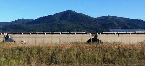
Elevation of Northport Flat Creek Rd, Kettle Falls, WA, USA

Location: United States > Washington > Kettle Falls >

Longitude: -118.04986

Latitude: 48.7194389

Elevation: 433m / 1421feet

Barometric Pressure: 96KPa

Elevation Map:

elevation map of Northport Flat Creek Rd, Kettle Falls, WA, USA

Satellite Map:

Satellite map of Northport Flat Creek Rd, Kettle Falls, WA, USA

Related Photos:

orange tractor rural farm vivid case vac ih internationalharvester casevac caseih
Show Case
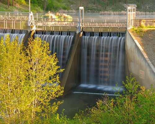
morning water river geotagged waterfall washington spring northwest dam pacificnorthwest fallingwater goldenhour kettlefalls colvilleriver meyersfalls meyersfallsdam motiion
Dam Morning
christmas winter snow color dof bokeh christmaslights depthoffield kettlefalls
Remembering Evergreen
railroad streetart train graffiti washington dof bokeh evil rr fork depthoffield tweak satan devil wa tweaks kettlefalls eviltweaks
Tweaks Evil
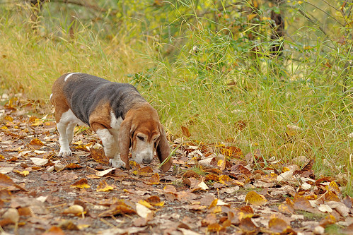
autumn dog fall leave washington leaf dof bokeh hound canine depthoffield sally trail basset wa pup bassethound kettlefalls
Season to Sniff
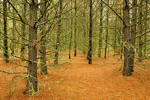
tree pine forest geotagged team evergreen needle member teammember
Pines ā€˜nā€™ Needles
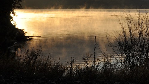
morning lake water sunrise river nationalpark columbia roosevelt steam reservoir columbiariver grandcouleedam lakeroosevelt kettleriver buoyant platinumphoto
Roosevelt Morn
washington us395 nationalregister nationalregisterofhistoricplaces kettlefalls stevenscounty colvilleriver meyersfalls meyersfallshydroeletricdevelopment
Meyers Falls Hydroelectric Development- Stevens County WA (6)
washington columbiariver us395 statehistoricalsite lakeroosevelt kettlefalls stevenscounty saintpaulsmission
Columbia River- Lake Roosevelt- Stevens County WA (3)
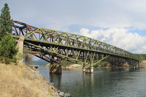
railroad travel bridge water photo washington photos bridges railway columbiariver span 200410 bridging truss kettlefalls rooseveltlake saywa bridgepixing bridgepix bridgeblog
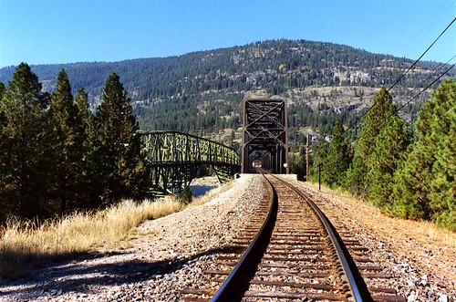
Roosevelt Lake Bridges, Kettle Falls, WA
autumn green fall grass leaves yellow gold leaf dof bokeh depthoffield
on Grass
trees sunset cloud sun reflection tree nature water clouds marina river outside outdoors evening washington natural outdoor columbia falls kettle reflect wa marsh
The Sun Sets on the Columbia Part 2
blue sky cloud mountain storm tree bluesky knoll
Highland Knoll
Moving Water
sunset cloud sun reflection nature water clouds reflections river landscape outside outdoors evening washington log waves natural outdoor ripple logs wave columbia boom falls kettle wa buoys buoy
The Sun Sets on the Columbia
sky tractor farm hay
Dirty Work
mountain lake grass washington phalonlake
Phalon Lake, washington, mid 1950s
washington us395 nationalregister nationalregisterofhistoricplaces kettlefalls stevenscounty colvilleriver meyersfalls meyersfallshydroeletricdevelopment
Meyers Falls Hydroelectric Development- Stevens County WA (4)
photostream
Road Back to Spokane
ranch barn farm scenicbyway highway20 shermanpass
Sherman Pass
washington churches columbiariver mission us395 statehistoricalsite nationalregister nationalregisterofhistoricplaces kettlefalls stevenscounty saintpaulsmission
Saint Pauls Mission- Stevens County WA (10)
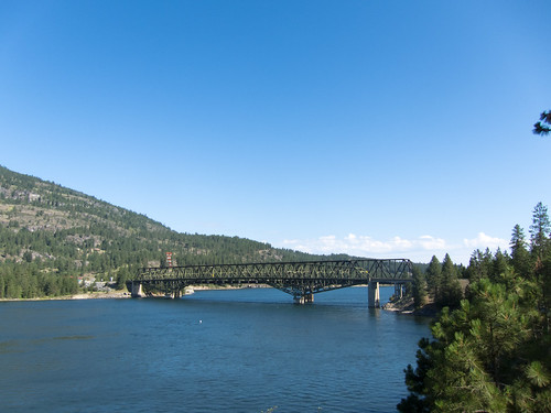
washington columbiariver washingtonstate us395 haer historicbridge nationalregisterofhistoricplaces kettlefalls historicamericanengineeringrecord trussbridge stevenscounty nrhp ushwy395 ferrycounty throughtruss usroute395 cantilevertruss thrutruss cantileverthroughtruss
Kettle Falls Bridge (Kettle Falls, Washington)
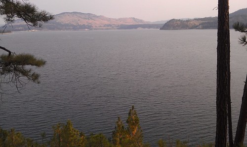
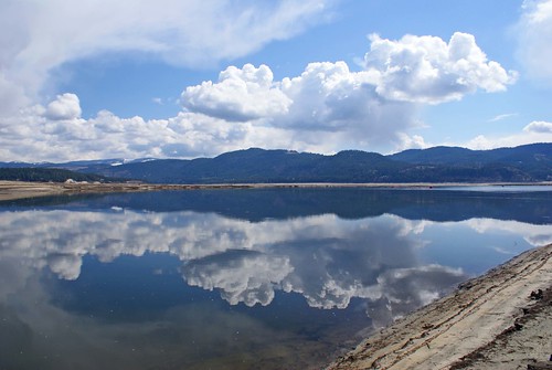
Near the shoreline of a very low, Roosevelt Lake
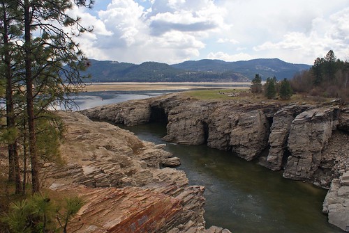
Cliffs above Roosevelt Lake...Kettle Falls, Washington
bridge washington columbiariver washingtonstate kettlefallsbridge
Columbia River
washington odyssey
Trains in the Grass