Elevation of Evans, WA, USA
Location: United States > Washington > Stevens County >
Longitude: -118.02526
Latitude: 48.7135159
Elevation: 402m / 1319feet
Barometric Pressure: 97KPa
Elevation Map:
Satellite Map:
Related Photos:

Show Case
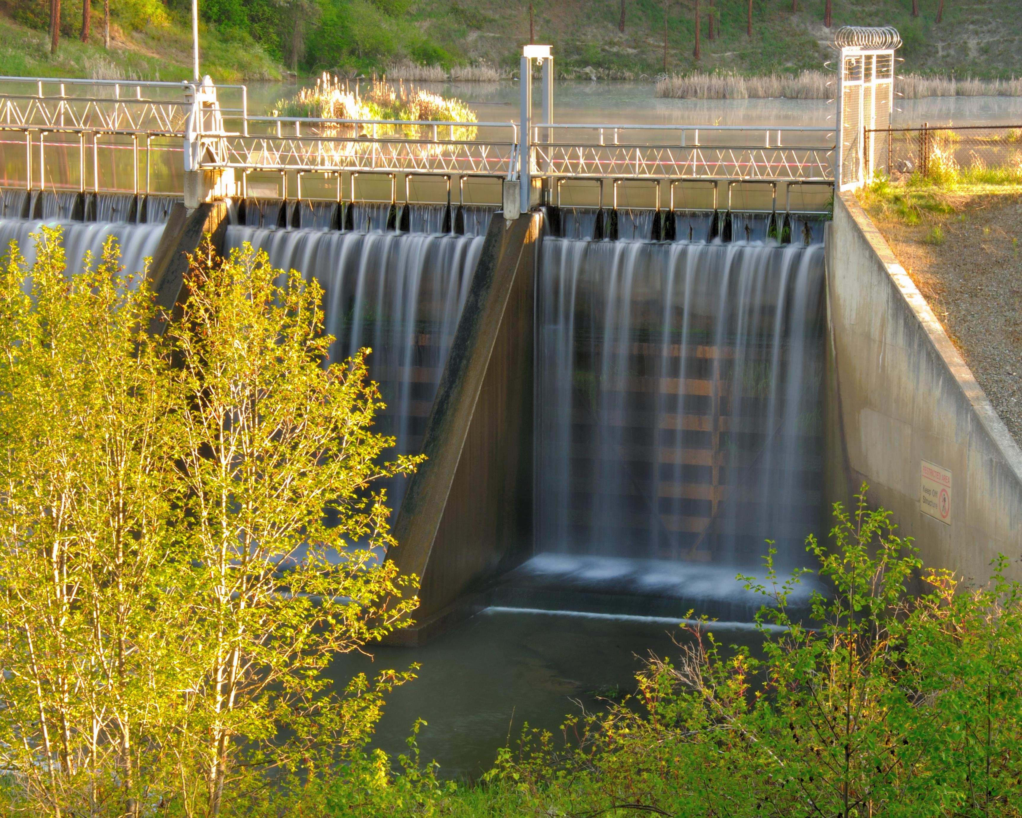
Dam Morning

Remembering Evergreen

Tweaks Evil

Season to Sniff
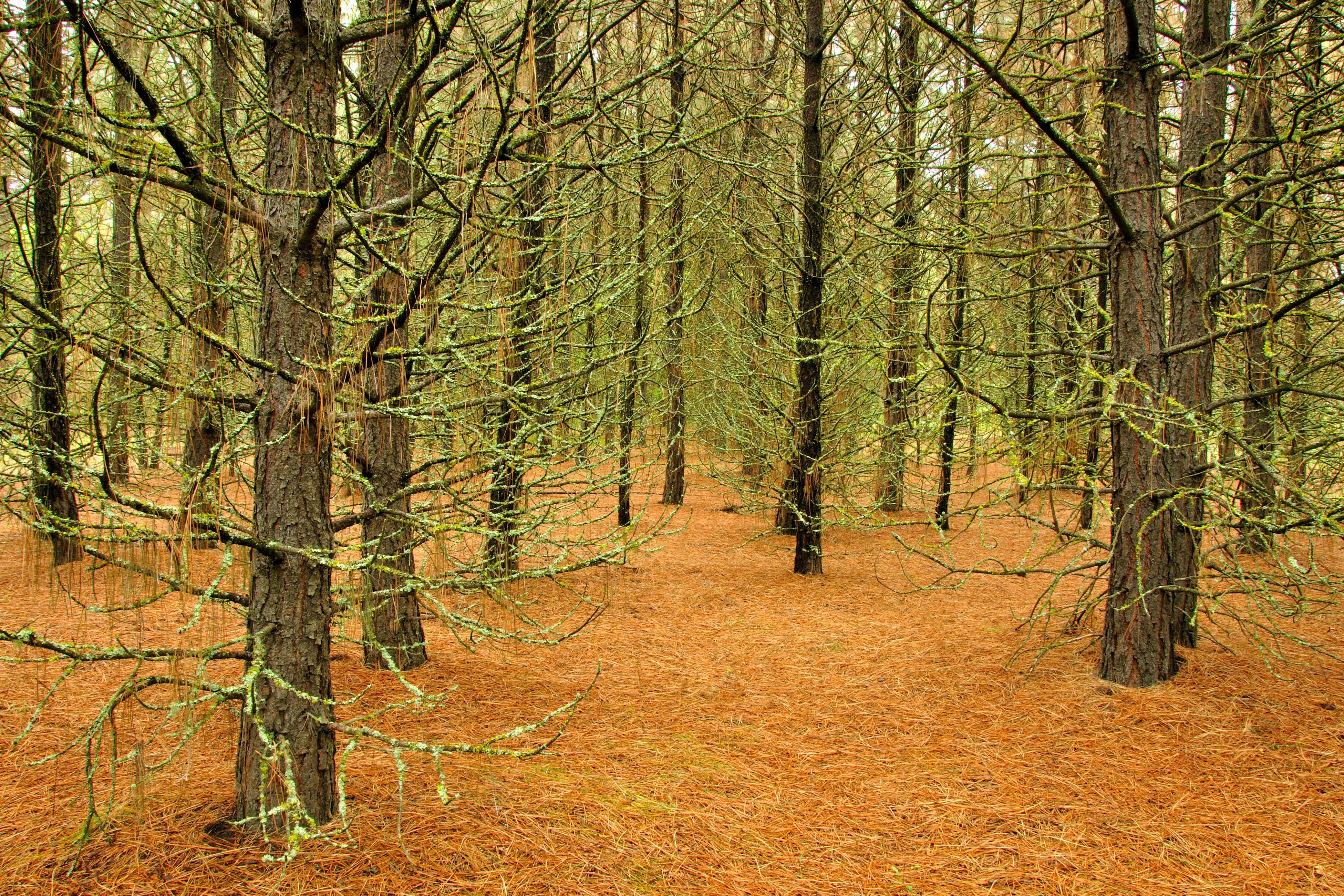
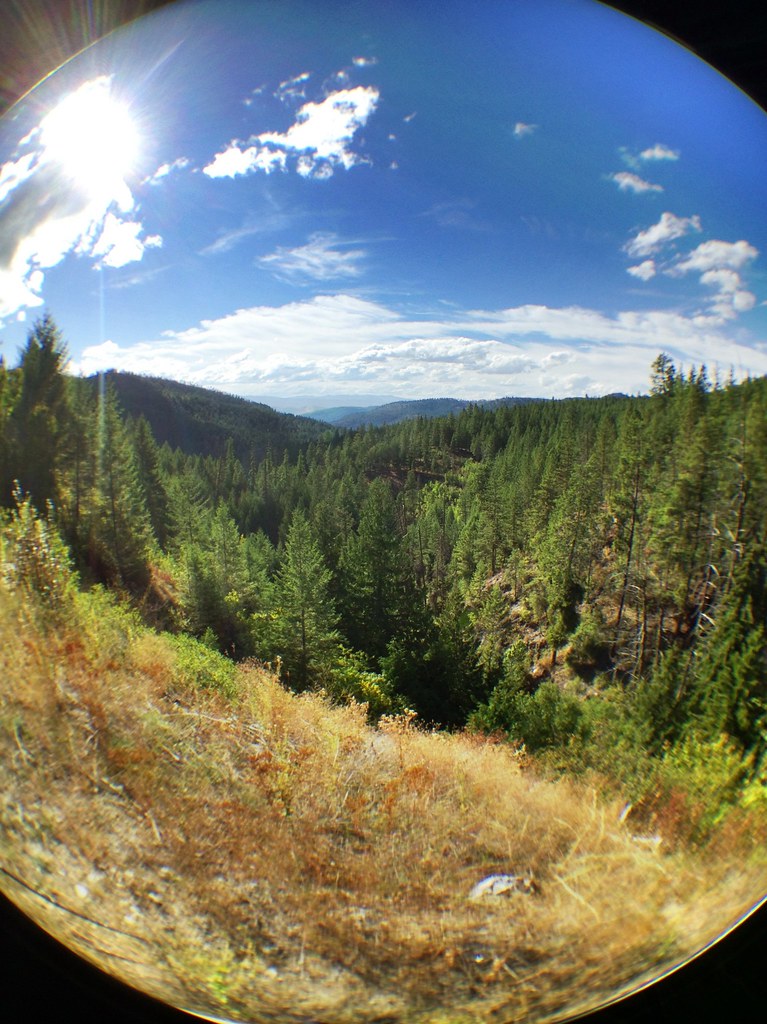
Pines ‘n’ Needles

on Grass

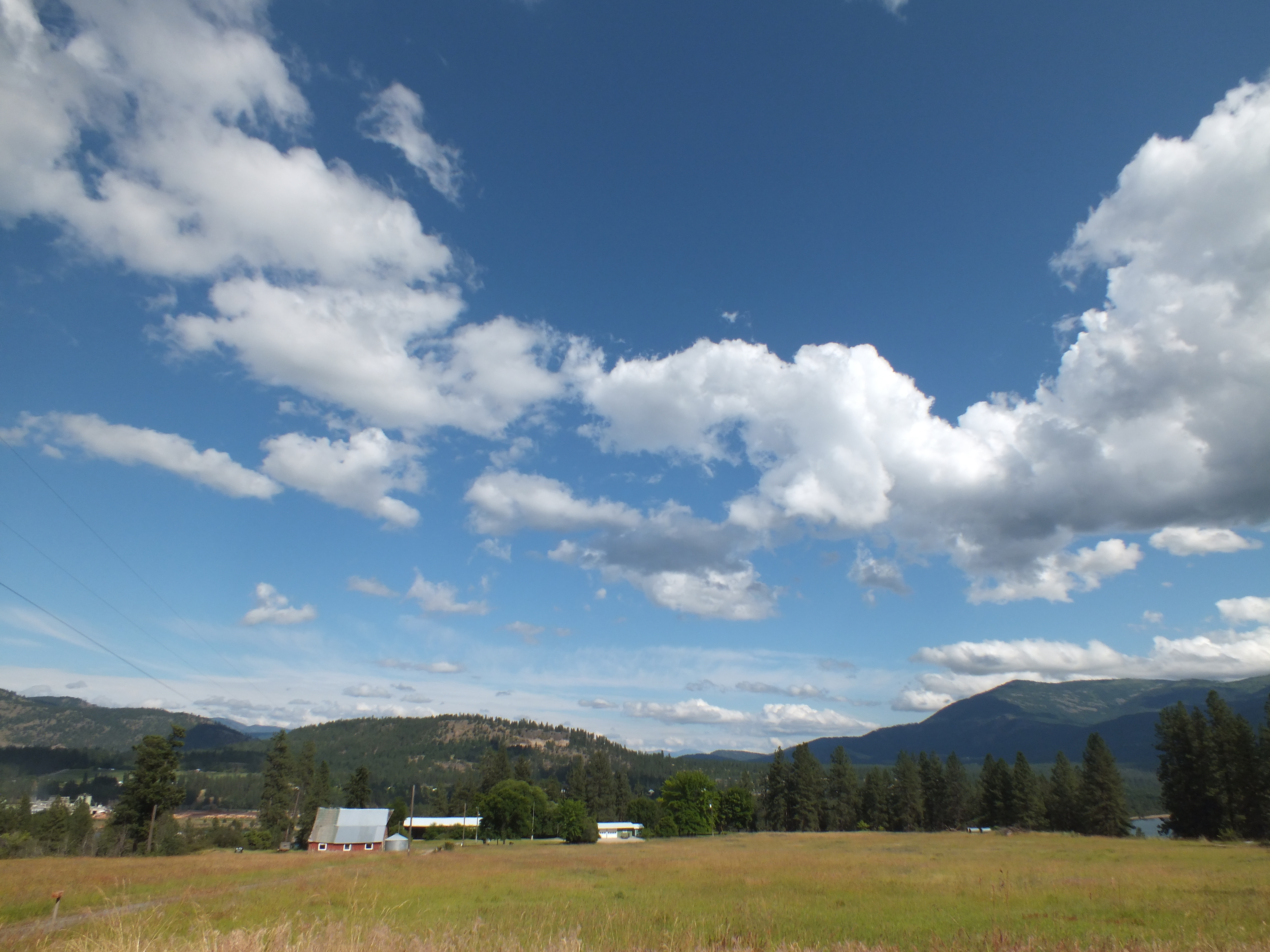
Roosevelt Morn
Highland Knoll
Meyers Falls Hydroelectric Development- Stevens County WA (6)

Moving Water

Dirty Work

Phalon Lake, washington, mid 1950s
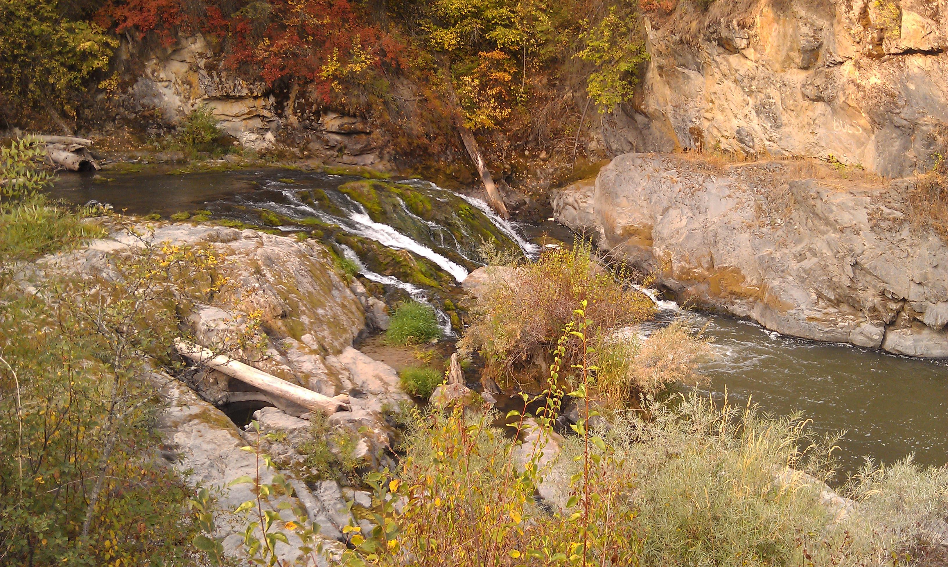
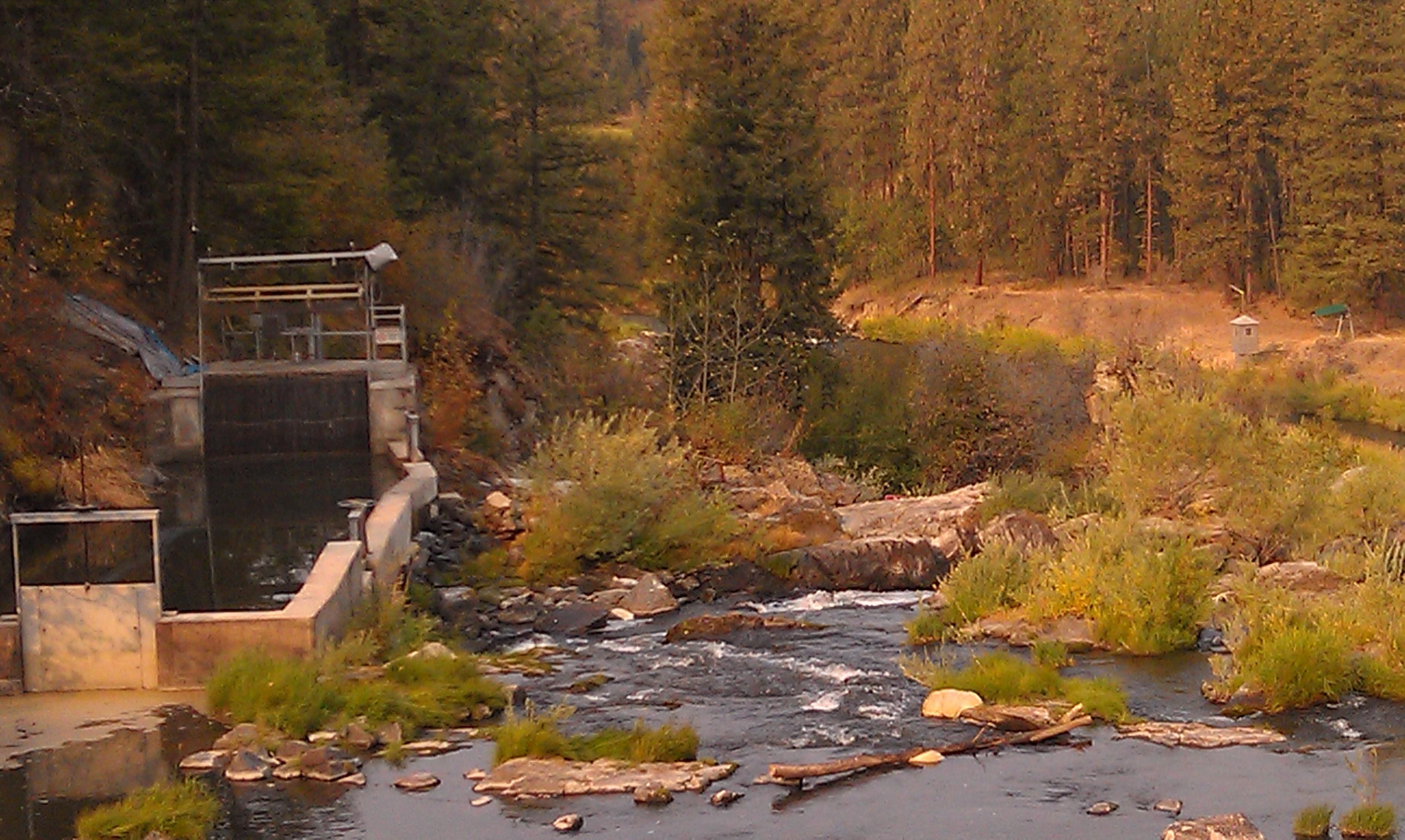
Meyers Falls Hydroelectric Development- Stevens County WA (4)
Road Back to Spokane
Sherman Pass
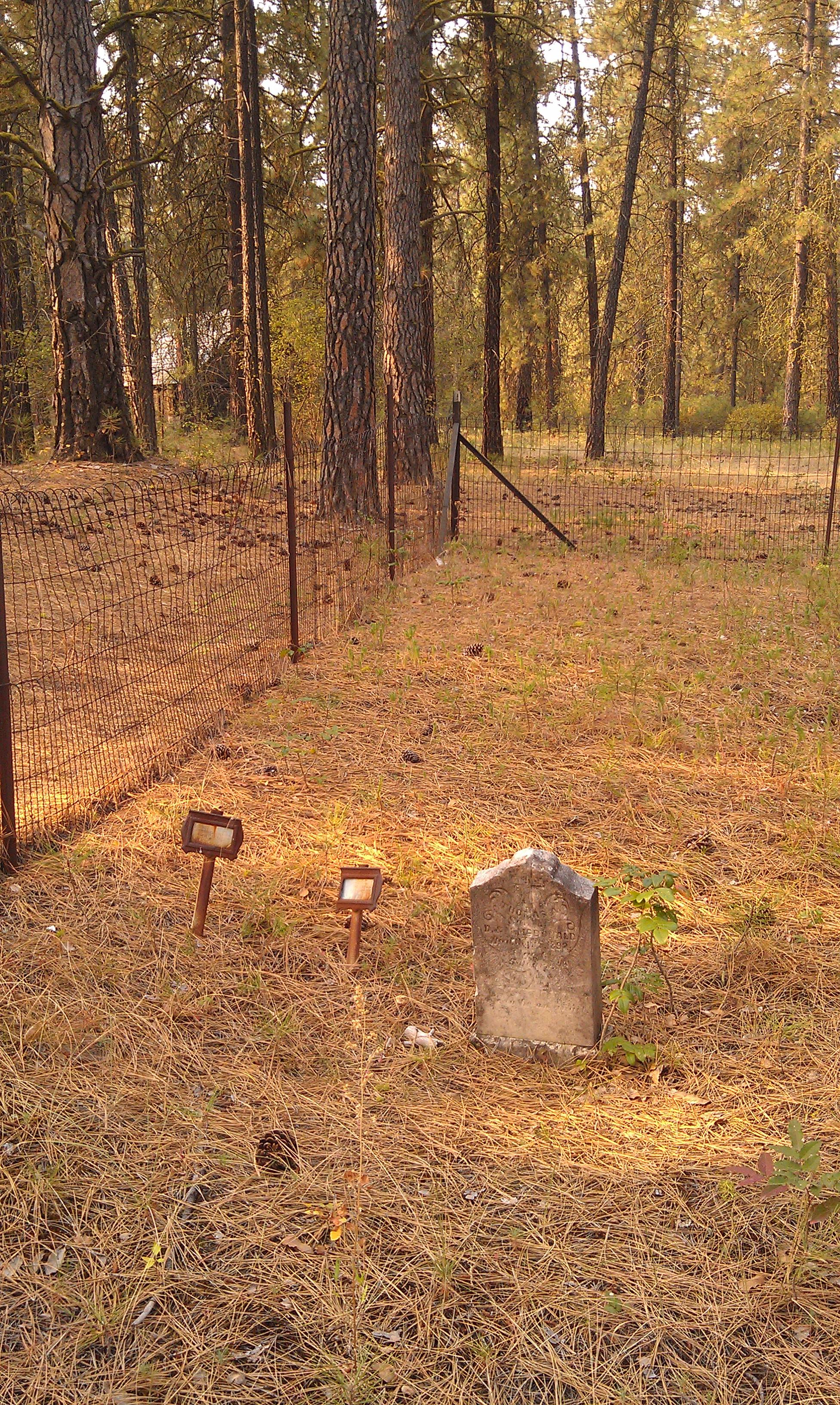
Saint Pauls Mission- Stevens County WA (10)

Columbia River- Lake Roosevelt- Stevens County WA (3)
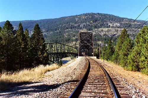
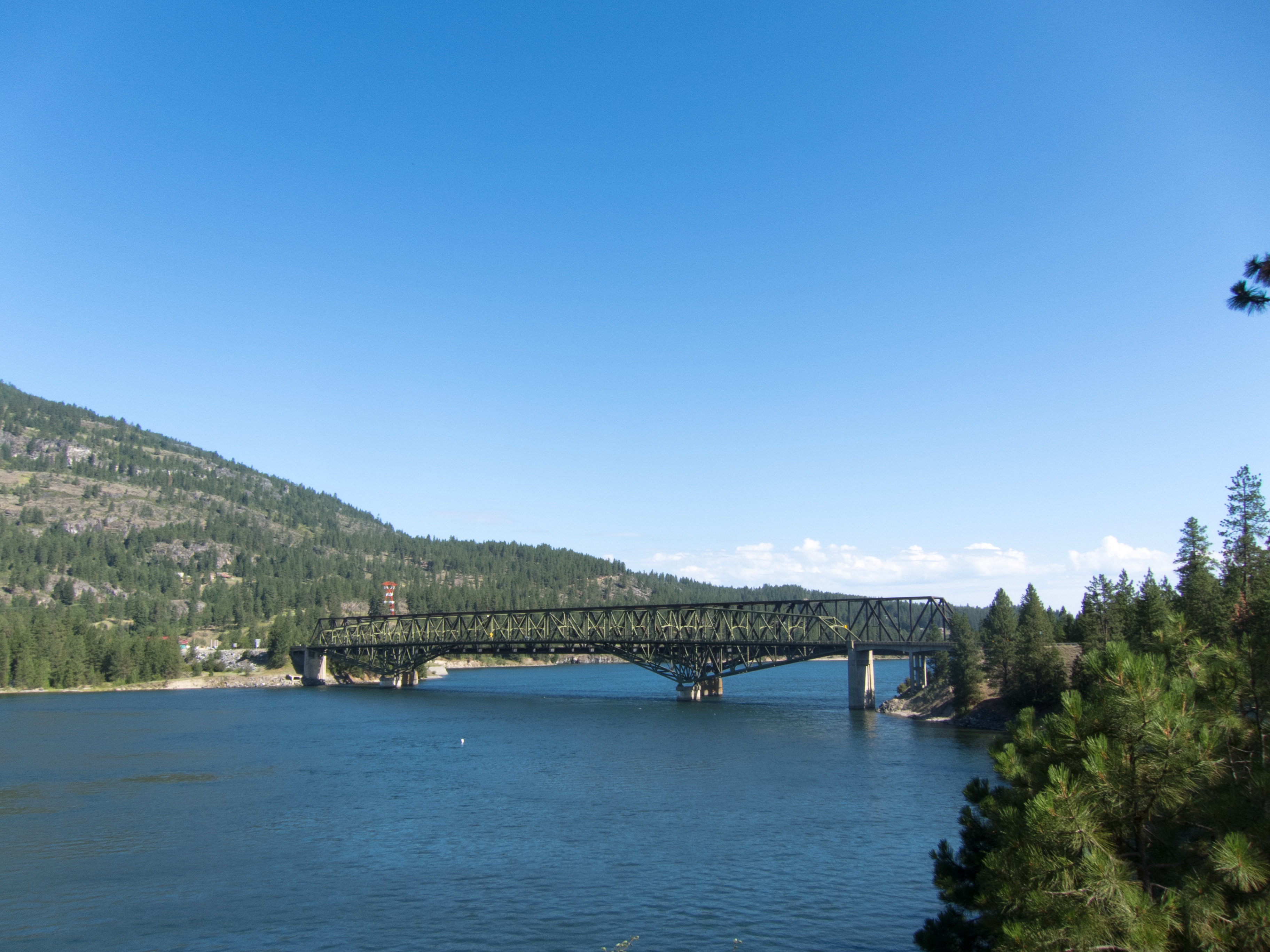
Roosevelt Lake Bridges, Kettle Falls, WA
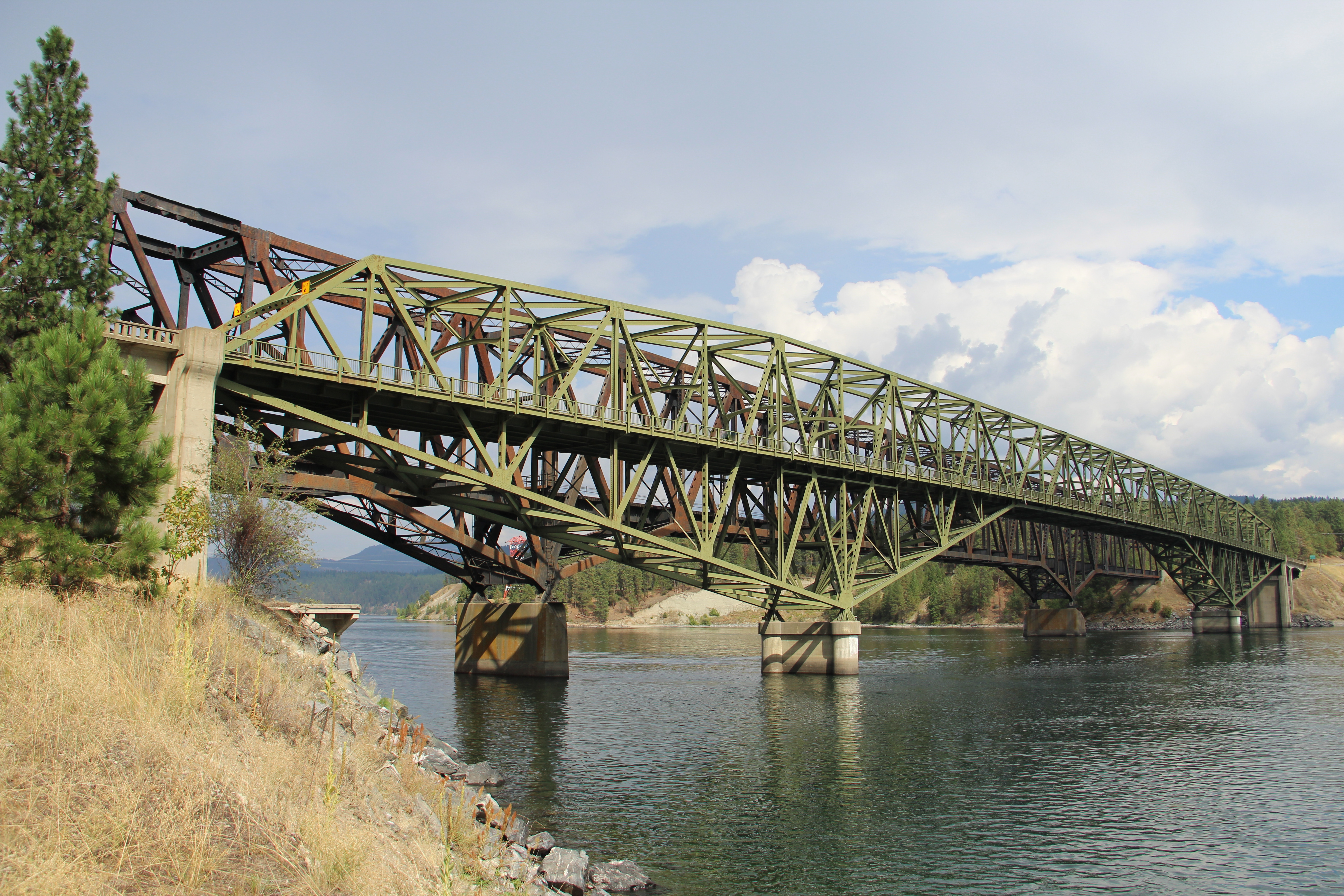
Kettle Falls Bridge (Kettle Falls, Washington)
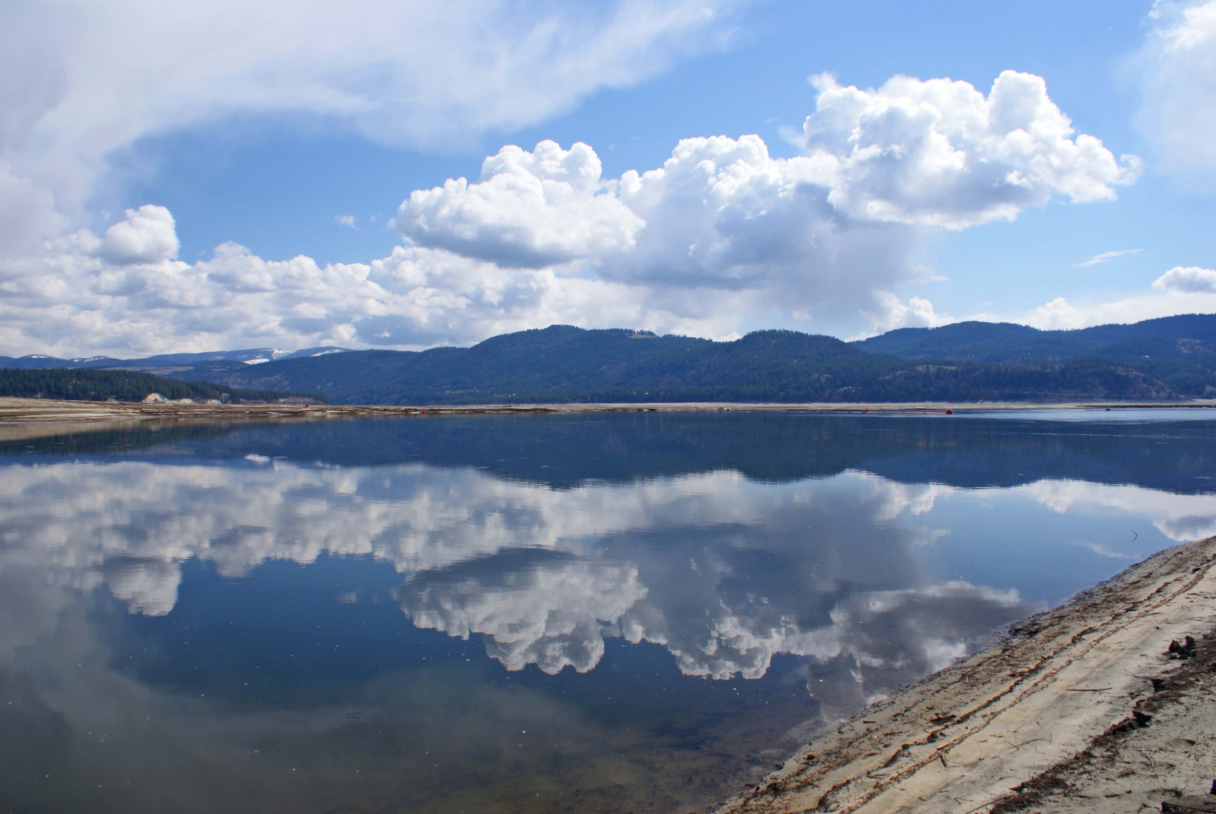
Near the shoreline of a very low, Roosevelt Lake

Cliffs above Roosevelt Lake...Kettle Falls, Washington
Columbia River
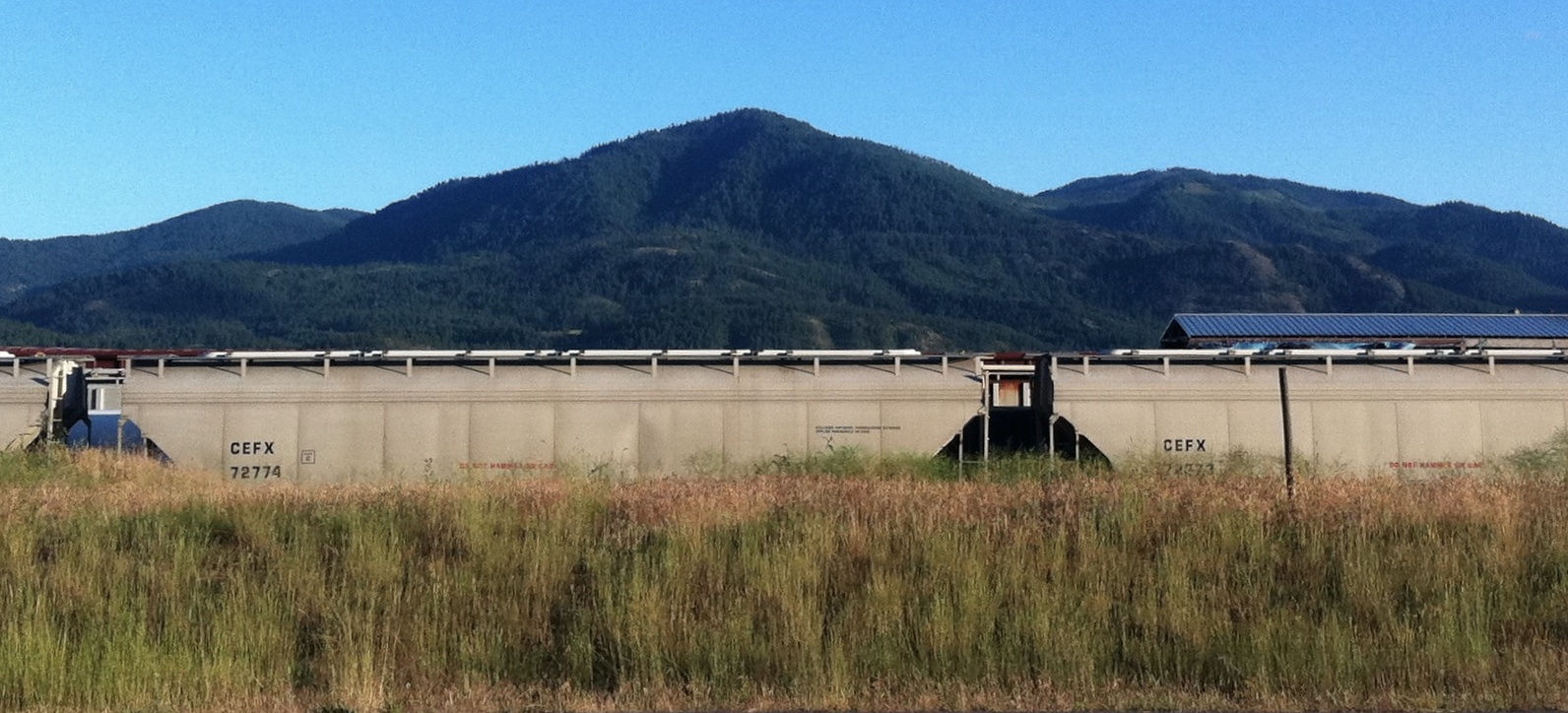
Trains in the Grass
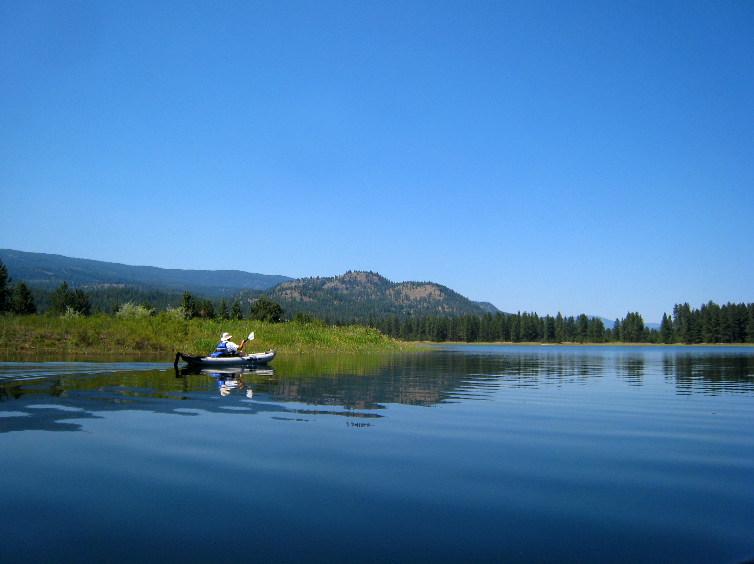
Smooth Paddling
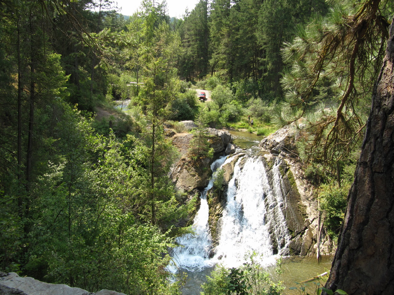
Douglas Falls
Topographic Map of Evans, WA, USA
Find elevation by address:

Places near Evans, WA, USA:
Northport Flat Creek Rd, Kettle Falls, WA, USA
2300 Northport Flat Creek Rd
1644 Bear Mountain Way B
1853 Brooks Rd
River Road
3599 Hill Loop Rd
Kettle Falls
751 Highland Loop Rd
Meyers Falls
Greenwood Loop Rd, Kettle Falls, WA, USA
958 Hockersmith Rd
Larkspur Way
Gold Creek Loop Road
280 Corbett Creek Rd
2425 Widow Rd
Walmart Supercenter
Aladdin Rd, Colville, WA, USA
Washington 20
259 N Wynne St
828 N Walnut St
Recent Searches:
- Elevation of Corso Fratelli Cairoli, 35, Macerata MC, Italy
- Elevation of Tallevast Rd, Sarasota, FL, USA
- Elevation of 4th St E, Sonoma, CA, USA
- Elevation of Black Hollow Rd, Pennsdale, PA, USA
- Elevation of Oakland Ave, Williamsport, PA, USA
- Elevation of Pedrógão Grande, Portugal
- Elevation of Klee Dr, Martinsburg, WV, USA
- Elevation of Via Roma, Pieranica CR, Italy
- Elevation of Tavkvetili Mountain, Georgia
- Elevation of Hartfords Bluff Cir, Mt Pleasant, SC, USA