Elevation of Northeim, Germany
Location: Germany > Lower Saxony >
Longitude: 9.8122856
Latitude: 51.7389407
Elevation: 273m / 896feet
Barometric Pressure: 98KPa
Elevation Map:
Satellite Map:
Related Photos:

Happy Mother's Day 2011

Mr. Cab Driver

German hills

Stil Water

Rays of Light

Hardenberg GolfResort

Twosome in the Spring

Visiting the countryside
Cycling from Göttingen to Kreiensen 5096

Cycling from Göttingen to Kreiensen 5090

ME 146 517 Vogelbeck 07.05.2016

Visiting the countryside

DB 401 511 Vogelbeck 07.05.2016

Visiting the countryside

Visiting the countryside

Visiting the countryside

Visiting the countryside

Camino 2013

20140809-unbenannte Fotosession-9113

20130719-Blicka-8017

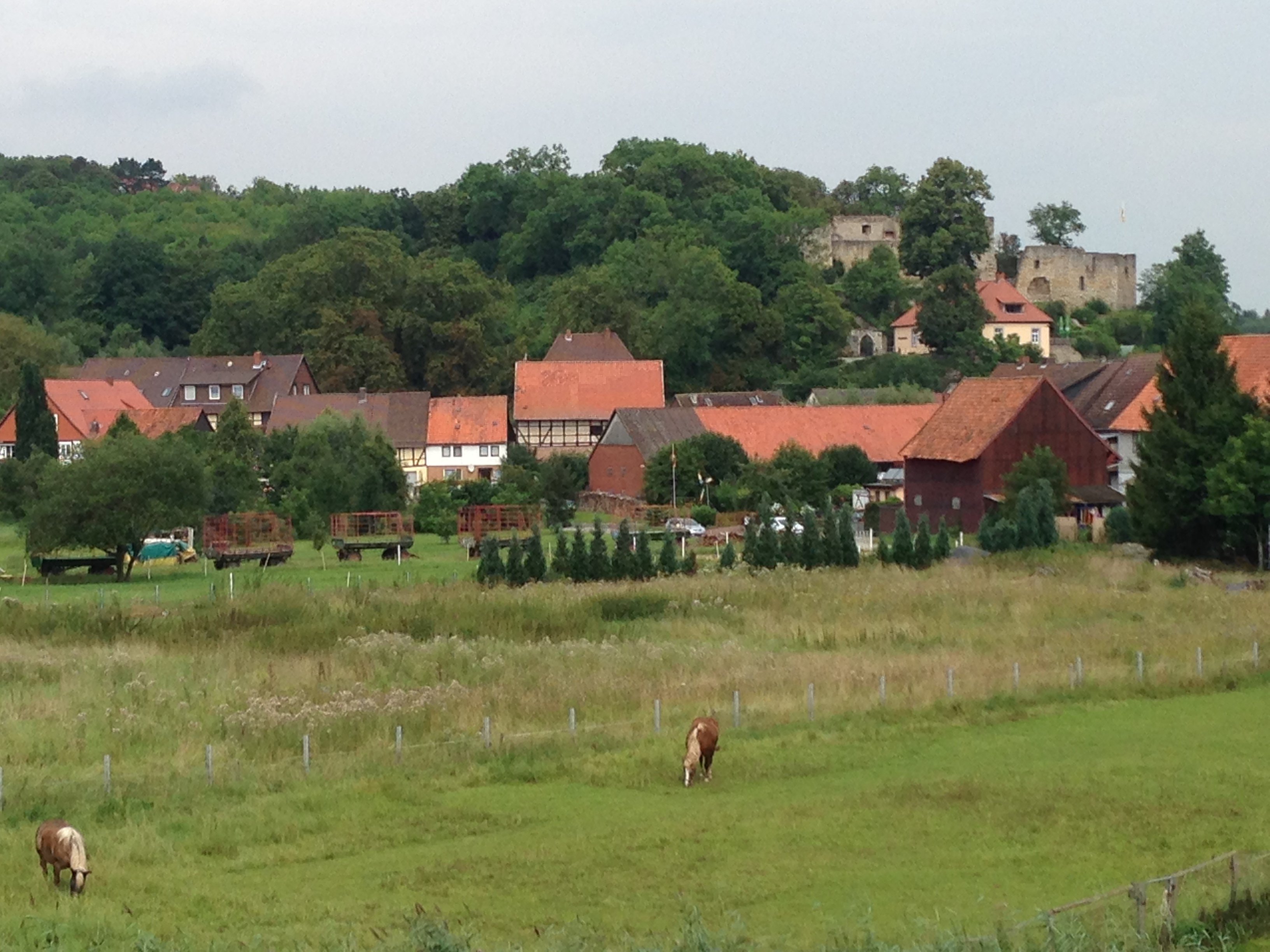
MG_1272, Burg Hardenberg (Nörten-Hardenberg)

Visiting the countryside
Topographic Map of Northeim, Germany
Find elevation by address:

Places in Northeim, Germany:
Places near Northeim, Germany:
Fredelsloh
Tönnieshof 7, Moringen, Germany
Lerchenweg 3, Moringen, Germany
Nienhagen
Hardegsen
Hettenser Str. 4, Hardegsen, Germany
Ellierode
Dassel
Ringmauer 2, Dassel, Germany
Eimen
Försterweg 15, Dassel, Germany
Sievershausen
Adelebsen
Meierstraße 8, Dassel, Germany
Mackensen
Zum Stieg 1, Eimen, Germany
Vorwohle
Denkiehausen 32, Wangelnstedt, Germany
Denkiehausen
Wangelnstedt
Recent Searches:
- Elevation of Corso Fratelli Cairoli, 35, Macerata MC, Italy
- Elevation of Tallevast Rd, Sarasota, FL, USA
- Elevation of 4th St E, Sonoma, CA, USA
- Elevation of Black Hollow Rd, Pennsdale, PA, USA
- Elevation of Oakland Ave, Williamsport, PA, USA
- Elevation of Pedrógão Grande, Portugal
- Elevation of Klee Dr, Martinsburg, WV, USA
- Elevation of Via Roma, Pieranica CR, Italy
- Elevation of Tavkvetili Mountain, Georgia
- Elevation of Hartfords Bluff Cir, Mt Pleasant, SC, USA