Elevation map of North Tapanuli Regency, North Sumatra, Indonesia
Location: Indonesia > North Sumatra >
Longitude: 99.1013498
Latitude: 2.0405246
Elevation: 1207m / 3960feet
Barometric Pressure: 88KPa
Elevation Map:
Satellite Map:
Related Photos:

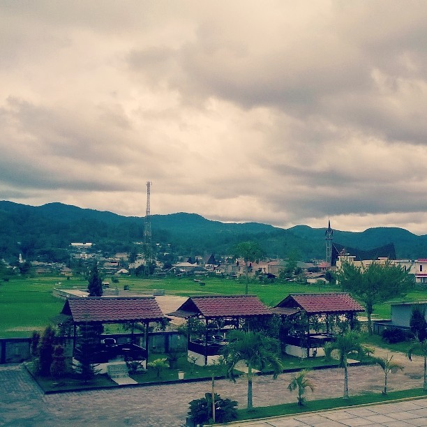
Under the blue sky

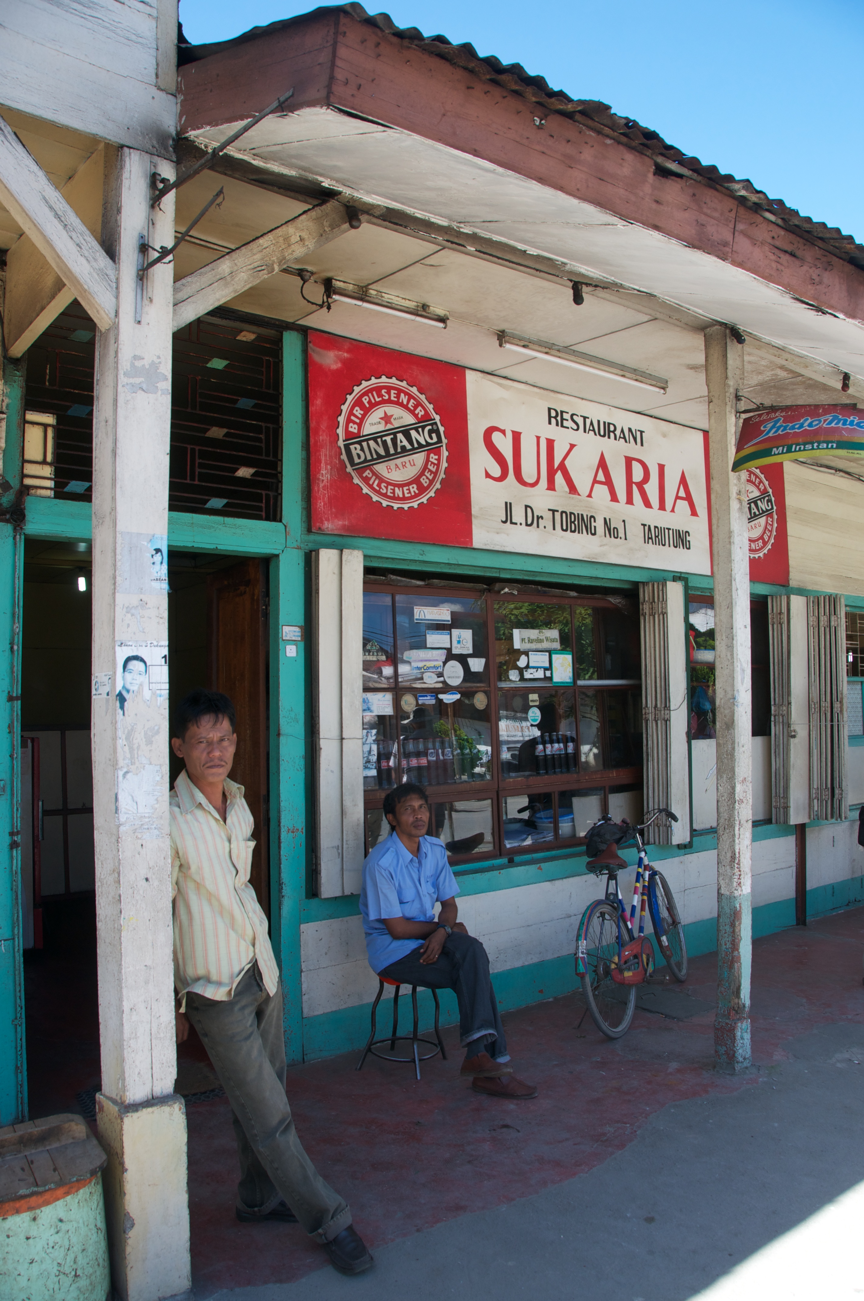
Small Warung

Dinihari kemarin berendam di #sipoholon hot springs, capek jalan dari selatan singgah berendam di air mendidih biar agak segar maksud hati tapi yang terjadi mengantuk luar biasa, sunyi serasa di private hot springs pool. #tour #tourism #trip #travel #driv
the other side of Tarutung #lumia #625 #northsumatera #SOL #tapanuliutara

Mulak tu huta ????

Mulak tu huta ????
Indonesië 2011-1013-085226

Indonesië 2011-1013-073307
Topographic Map of North Tapanuli Regency, North Sumatra, Indonesia
Find elevation by address:

Places in North Tapanuli Regency, North Sumatra, Indonesia:
Places near North Tapanuli Regency, North Sumatra, Indonesia:
Tarutung
Tarutung
North Sumatra
Balige
Toba Samosir Regency
Sitahuis
Bonandolok
Batu Lubang Sibolga
Simaninggir
Jalan Sibolga - Tarutung
Huta Barangan
Jalan Sibolga - Tarutung
Sibolga Julu
Jalan Gereja
Jalan Gereja
Jl. Gereja No.107
Jl. Gereja No.107
Sibolga City
North Sibolga
Angin Nauli
Recent Searches:
- Elevation of Corso Fratelli Cairoli, 35, Macerata MC, Italy
- Elevation of Tallevast Rd, Sarasota, FL, USA
- Elevation of 4th St E, Sonoma, CA, USA
- Elevation of Black Hollow Rd, Pennsdale, PA, USA
- Elevation of Oakland Ave, Williamsport, PA, USA
- Elevation of Pedrógão Grande, Portugal
- Elevation of Klee Dr, Martinsburg, WV, USA
- Elevation of Via Roma, Pieranica CR, Italy
- Elevation of Tavkvetili Mountain, Georgia
- Elevation of Hartfords Bluff Cir, Mt Pleasant, SC, USA