Elevation of Balige, Toba Samosir Regency, North Sumatra, Indonesia
Location: Indonesia > North Sumatra > Toba Samosir Regency >
Longitude: 99.0792263
Latitude: 2.2930993
Elevation: 1186m / 3891feet
Barometric Pressure: 88KPa
Elevation Map:
Satellite Map:
Related Photos:
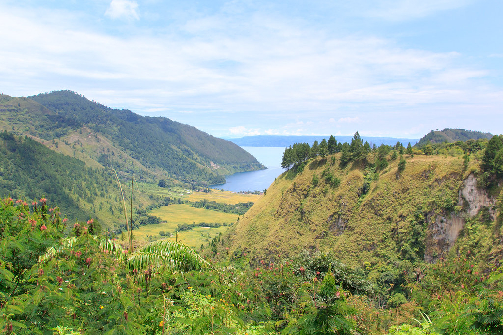
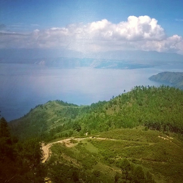
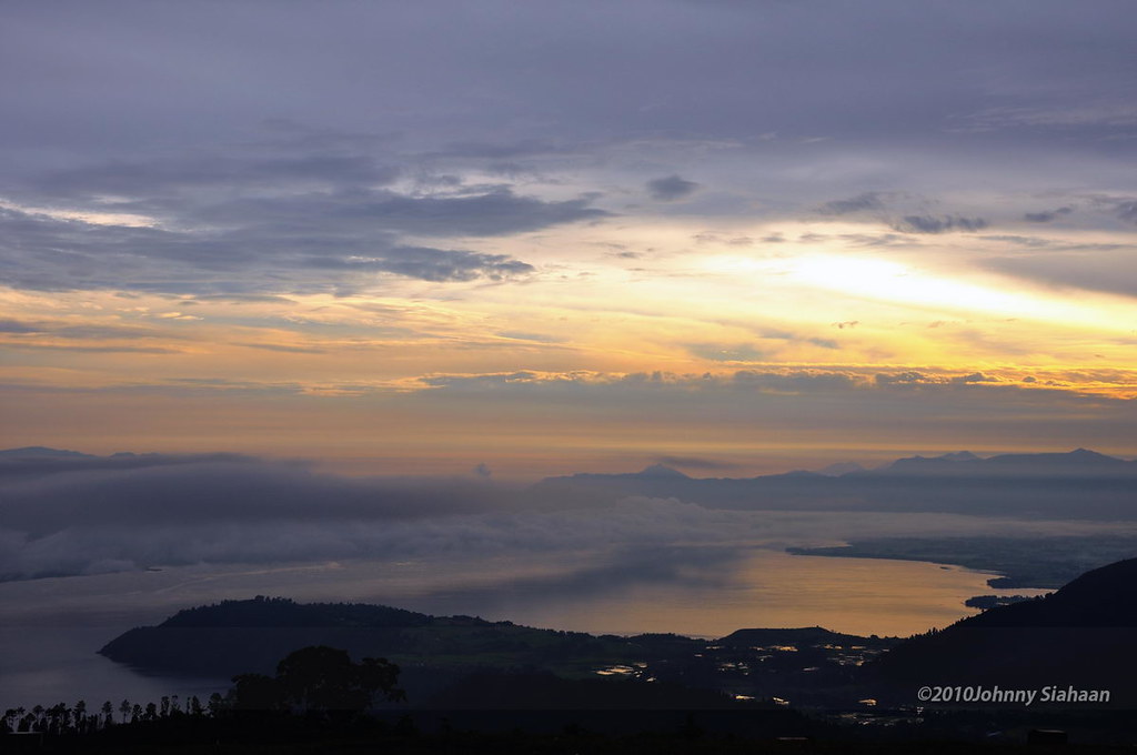
Last view on Lake Toba
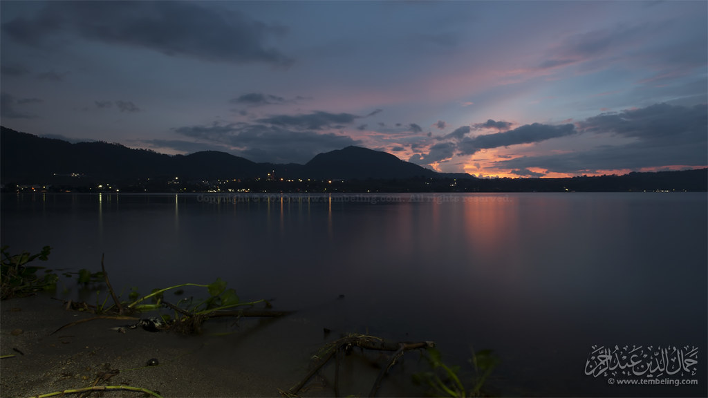
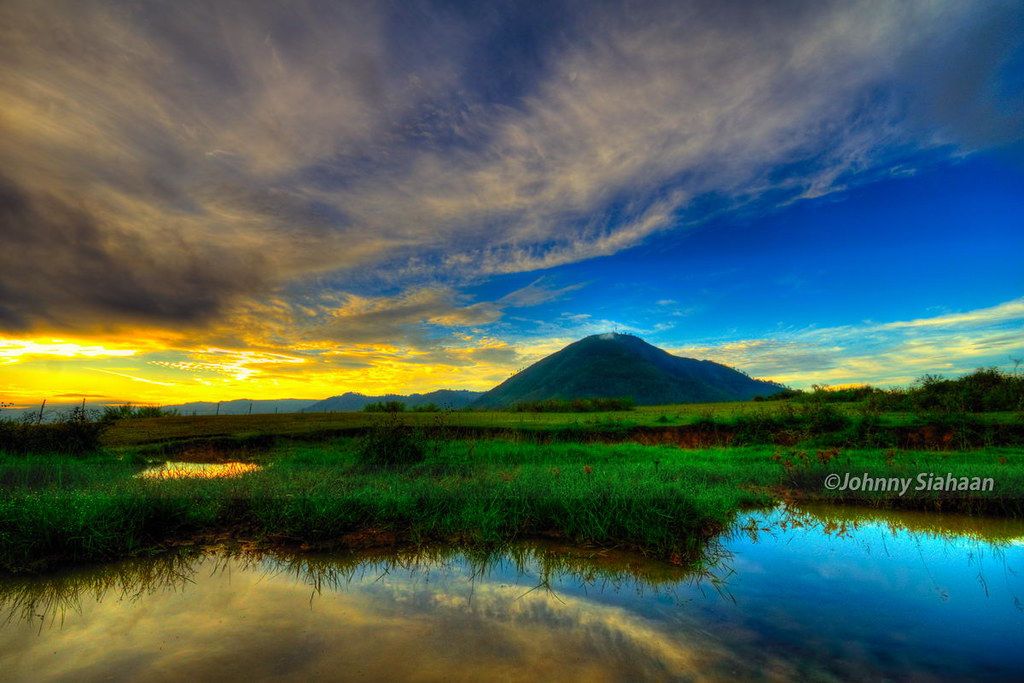
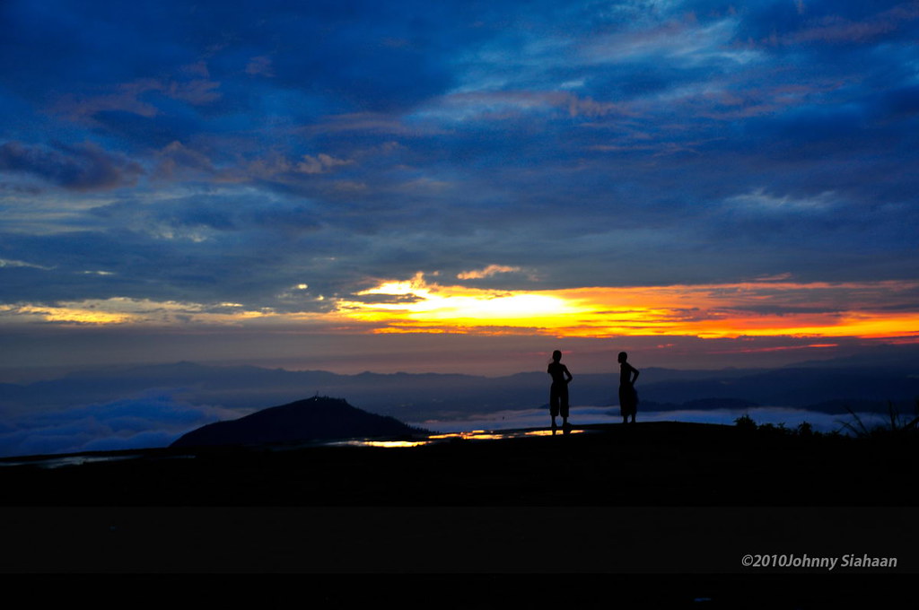
Sunset at Balige
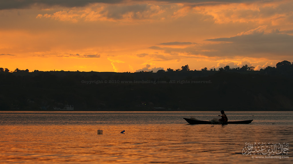
Rezeki senja
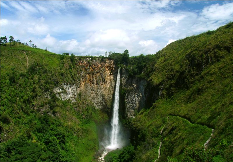
air terjun sipiso-piso
Dolok Tolong, Balige -DSC_0559
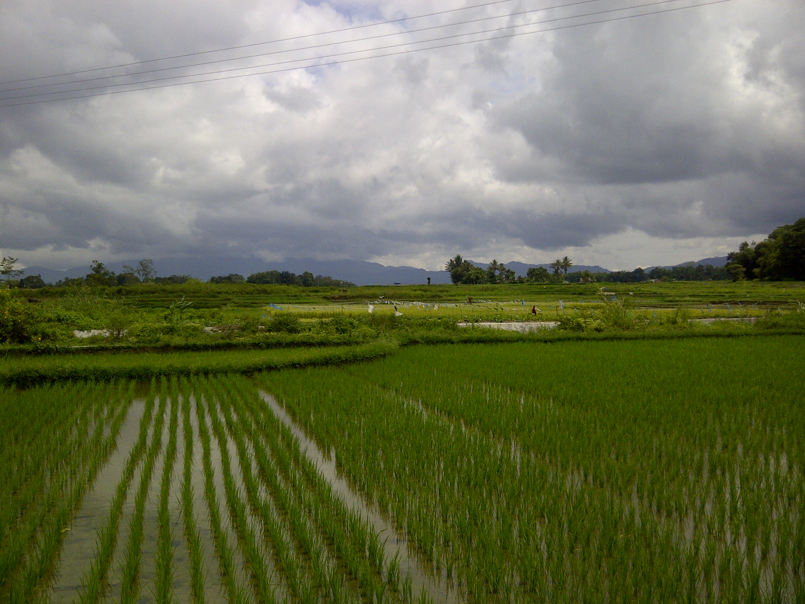
sawah hijau
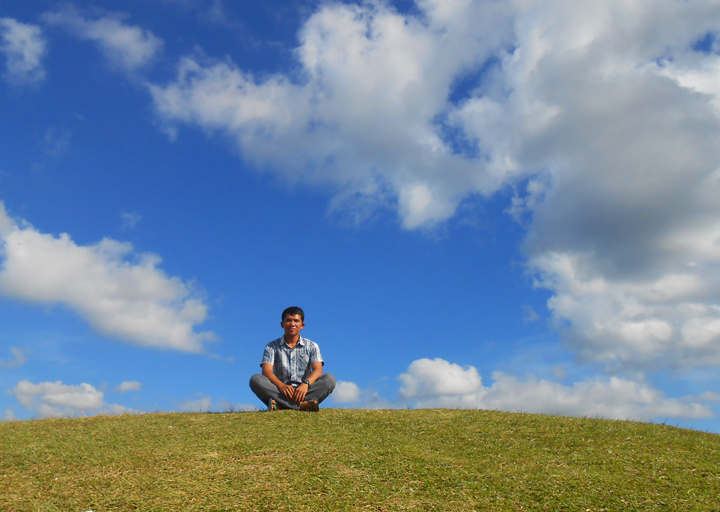
It's Me
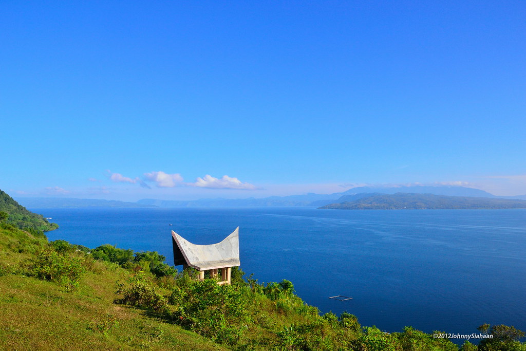
danau toba #lake #sumut #exploresumut #nokia #lumia #northsumatera #northtapanuli
Hutaginjang -DSC_0037
Hutaginjang -DSC_0151
DSC_7239 Pahoda, Balige
Topographic Map of Balige, Toba Samosir Regency, North Sumatra, Indonesia
Find elevation by address:

Places near Balige, Toba Samosir Regency, North Sumatra, Indonesia:
Toba Samosir Regency
North Tapanuli Regency
Tarutung
Tarutung
North Sumatra
Girsang Sipangan Bolon Sub-district
Parapat
Tiga Raja
Inna Parapat Hotel
Parapat Danau Toba
Ronggur Nihuta
Sijambur
Tuktuk Siadong
Tabo Cottages, Restaurant, German Bakery And Coffee Roastery
Samosir
Samosir Regency
Simanindo
Pangururan
Kantor Polisi Tele
Harian
Recent Searches:
- Elevation of Corso Fratelli Cairoli, 35, Macerata MC, Italy
- Elevation of Tallevast Rd, Sarasota, FL, USA
- Elevation of 4th St E, Sonoma, CA, USA
- Elevation of Black Hollow Rd, Pennsdale, PA, USA
- Elevation of Oakland Ave, Williamsport, PA, USA
- Elevation of Pedrógão Grande, Portugal
- Elevation of Klee Dr, Martinsburg, WV, USA
- Elevation of Via Roma, Pieranica CR, Italy
- Elevation of Tavkvetili Mountain, Georgia
- Elevation of Hartfords Bluff Cir, Mt Pleasant, SC, USA