Elevation of North Shore Campground, Catfish Beach Rd, Chester, CA, United States
Location: United States > California > Plumas County >
Longitude: -121.19358
Latitude: 40.3104735
Elevation: 1386m / 4547feet
Barometric Pressure: 86KPa
Elevation Map:
Satellite Map:
Related Photos:

The view
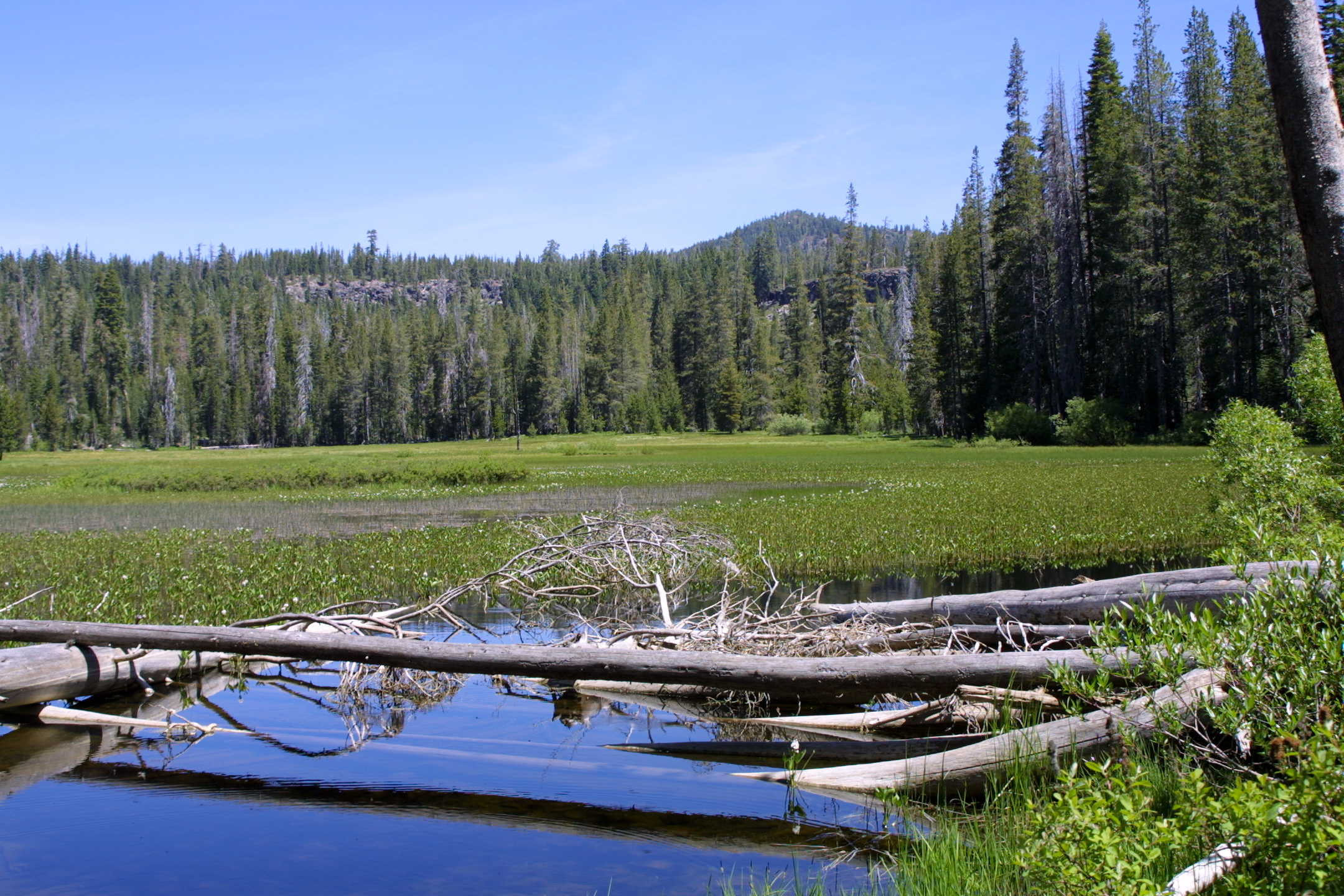
Indian_Meadows2_LassenNP.jpg
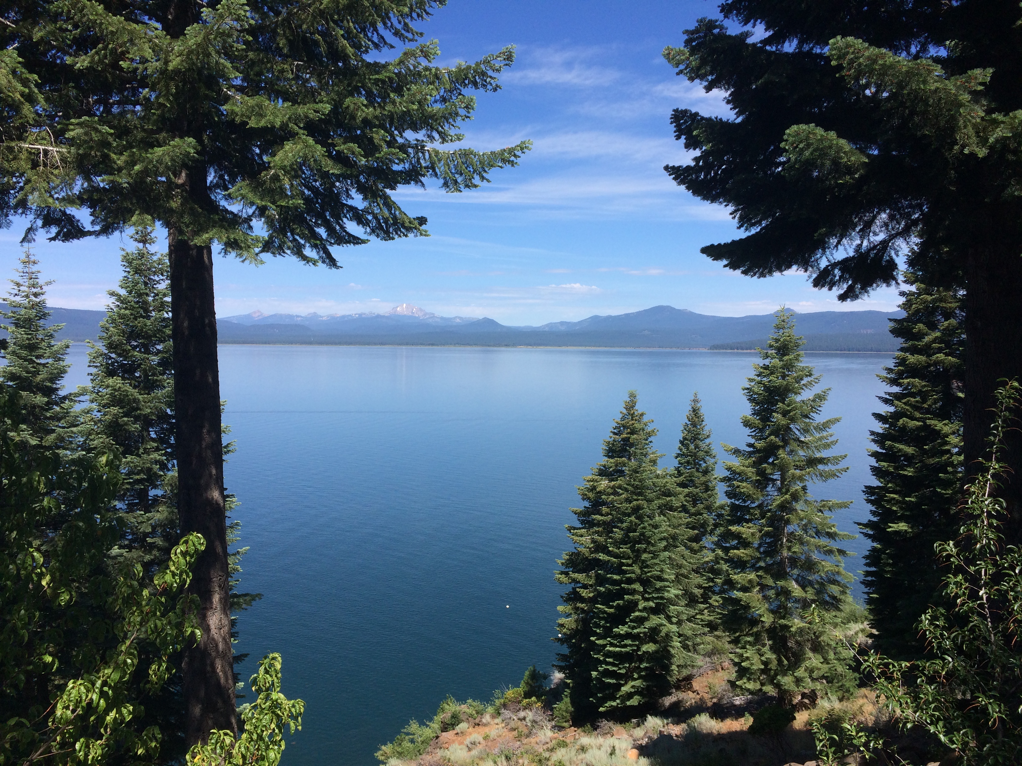
Mount Lassen and Lake Almanor from ... Lassen View Drive
Topographic Map of North Shore Campground, Catfish Beach Rd, Chester, CA, United States
Find elevation by address:

Places near North Shore Campground, Catfish Beach Rd, Chester, CA, United States:
Chester
382 Settlers Rd
382 Settlers Rd
382 Settlers Rd
382 Settlers Rd
382 Settlers Rd
382 Settlers Rd
382 Settlers Rd
601 Andrews Rd
Lake Almanor
700 Chester Warner Valley Rd
609 Clifford Dr
609 Clifford Dr
609 Clifford Dr
Lake Almanor Peninsula
Lake Almanor Country Club
Peninsula Dr, Lake Almanor, CA, USA
Hamilton Branch
Park Hill Dr, Lake Almanor, CA, USA
Clear Creek
Recent Searches:
- Elevation of Corso Fratelli Cairoli, 35, Macerata MC, Italy
- Elevation of Tallevast Rd, Sarasota, FL, USA
- Elevation of 4th St E, Sonoma, CA, USA
- Elevation of Black Hollow Rd, Pennsdale, PA, USA
- Elevation of Oakland Ave, Williamsport, PA, USA
- Elevation of Pedrógão Grande, Portugal
- Elevation of Klee Dr, Martinsburg, WV, USA
- Elevation of Via Roma, Pieranica CR, Italy
- Elevation of Tavkvetili Mountain, Georgia
- Elevation of Hartfords Bluff Cir, Mt Pleasant, SC, USA