Elevation of North Sheep Mountain, Colorado, USA
Location: United States > Colorado > Leadville >
Longitude: -106.23335
Latitude: 39.4263763
Elevation: 3769m / 12365feet
Barometric Pressure: 64KPa
Elevation Map:
Satellite Map:
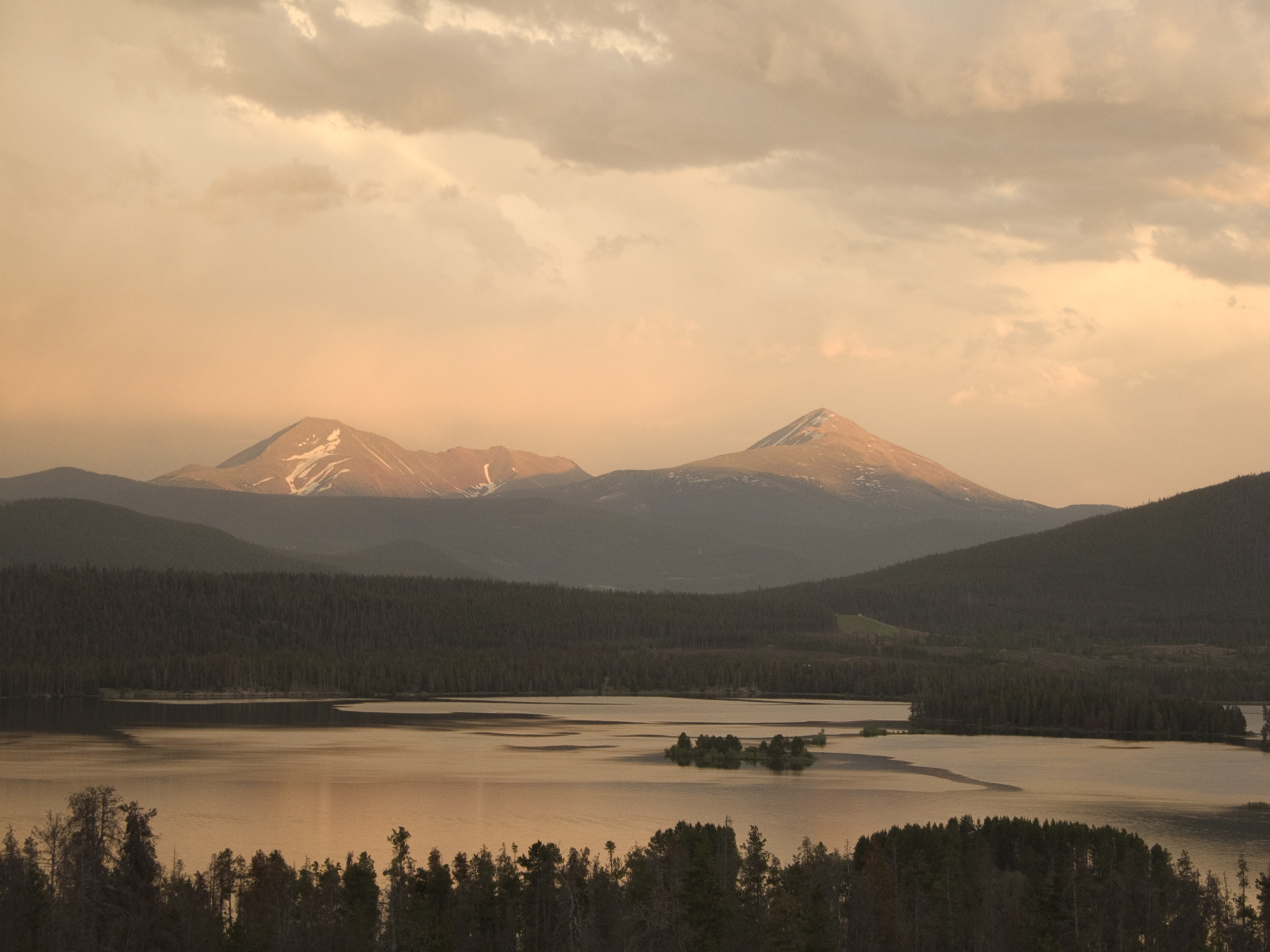
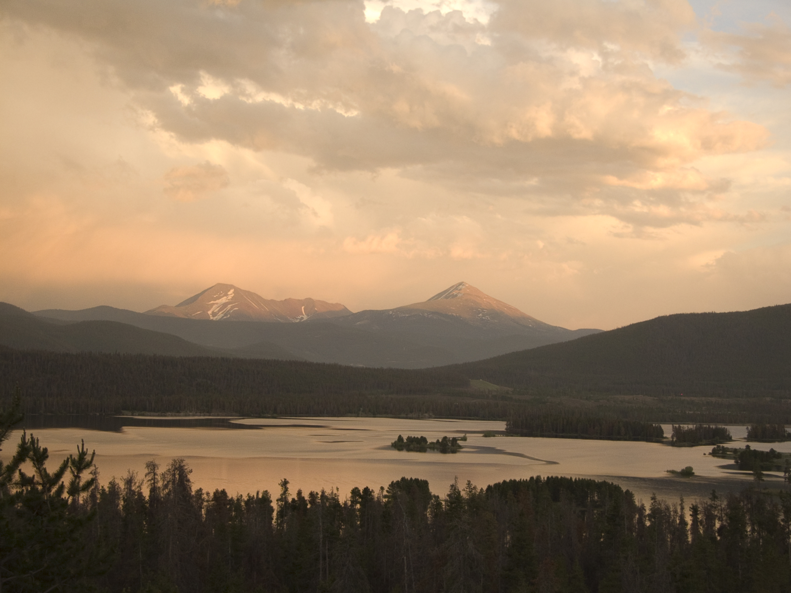
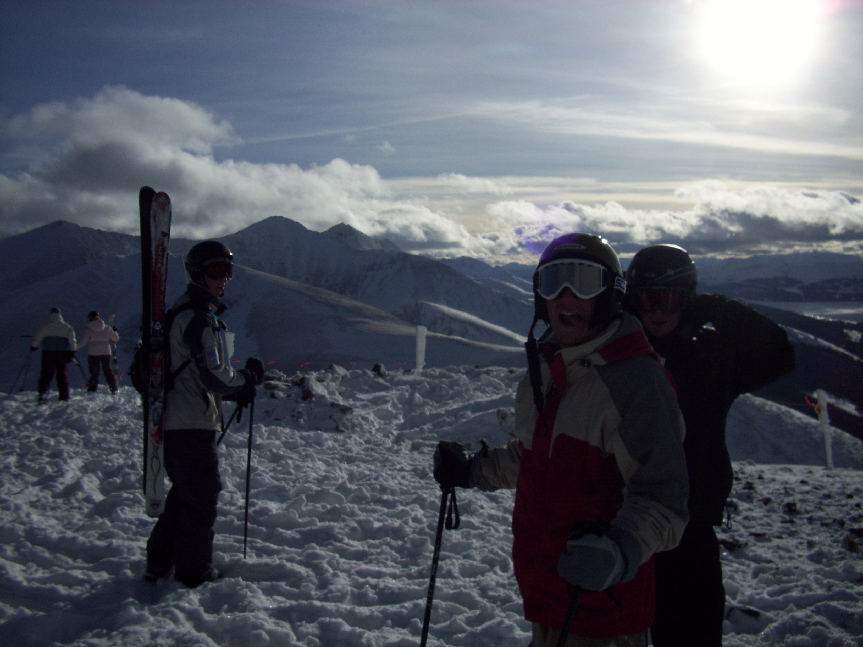
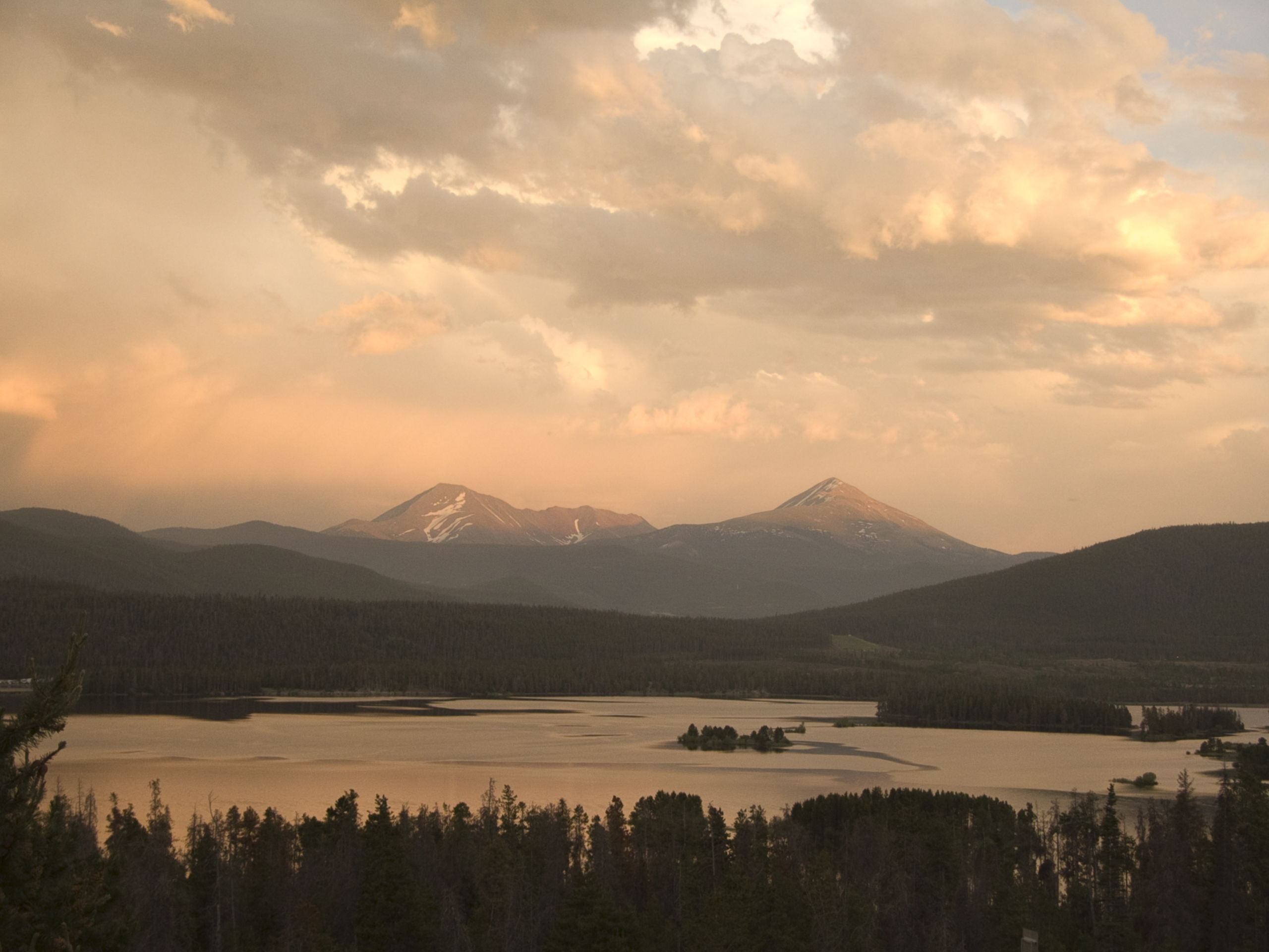
Related Photos:
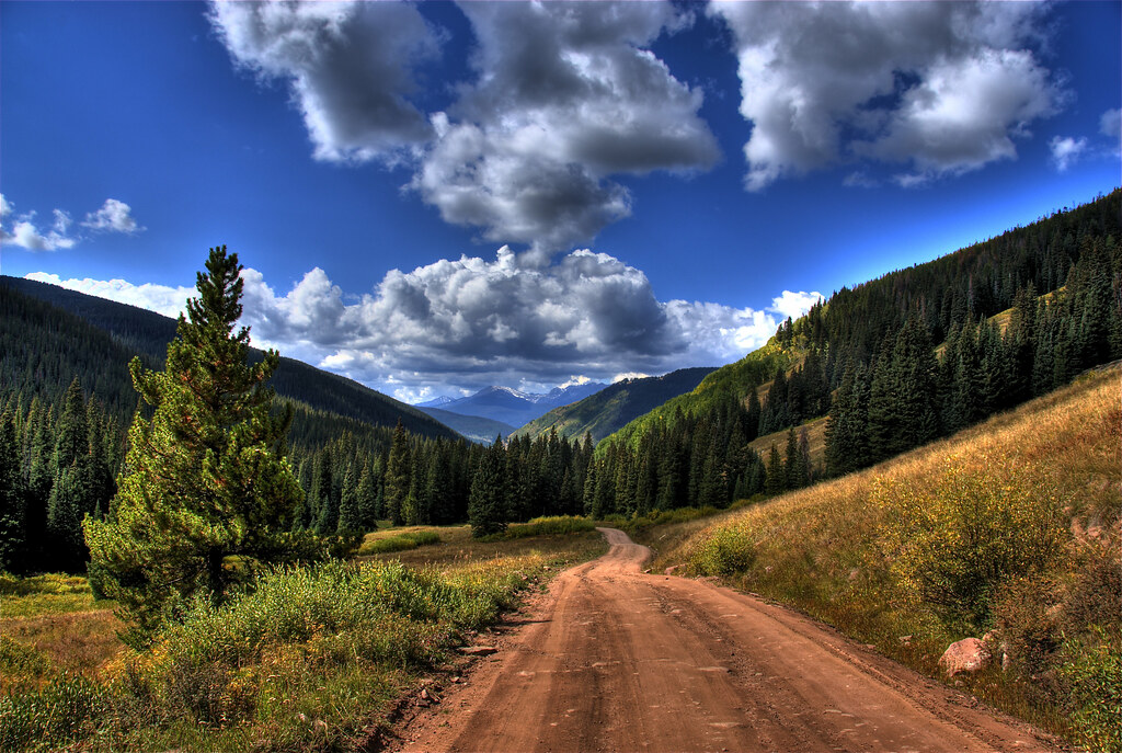
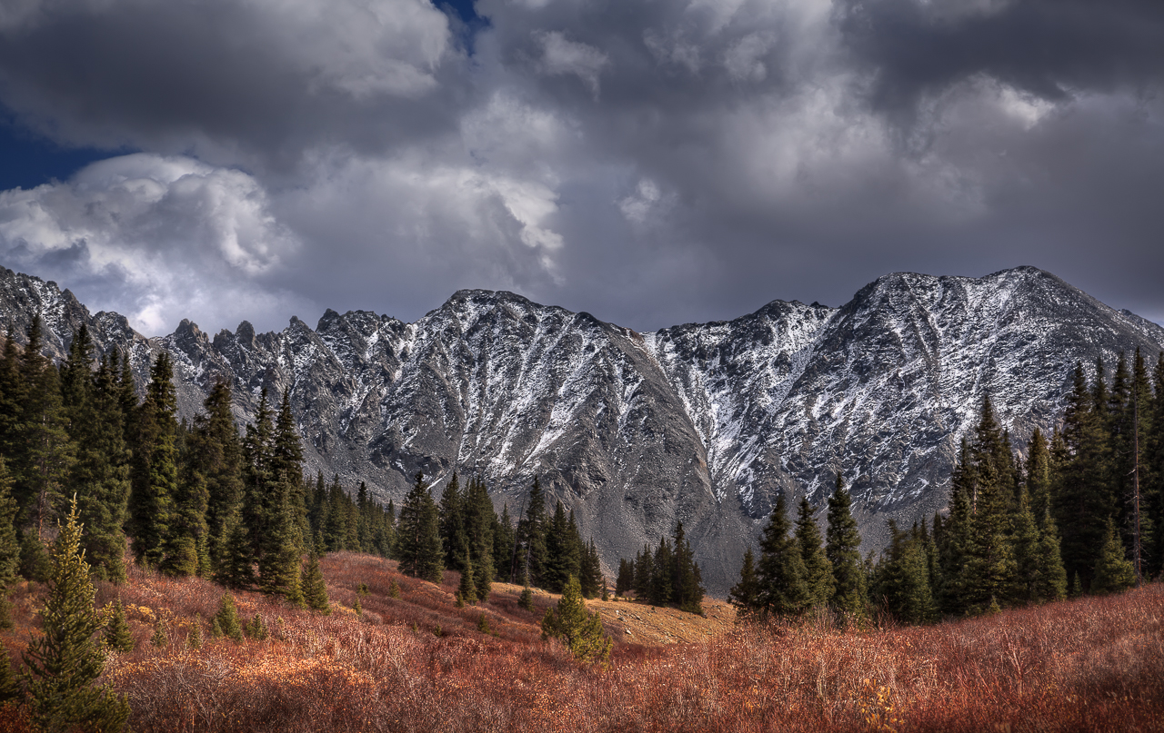
Shrine Pass, Colorado

What We Came For
Two manned helpers sets!
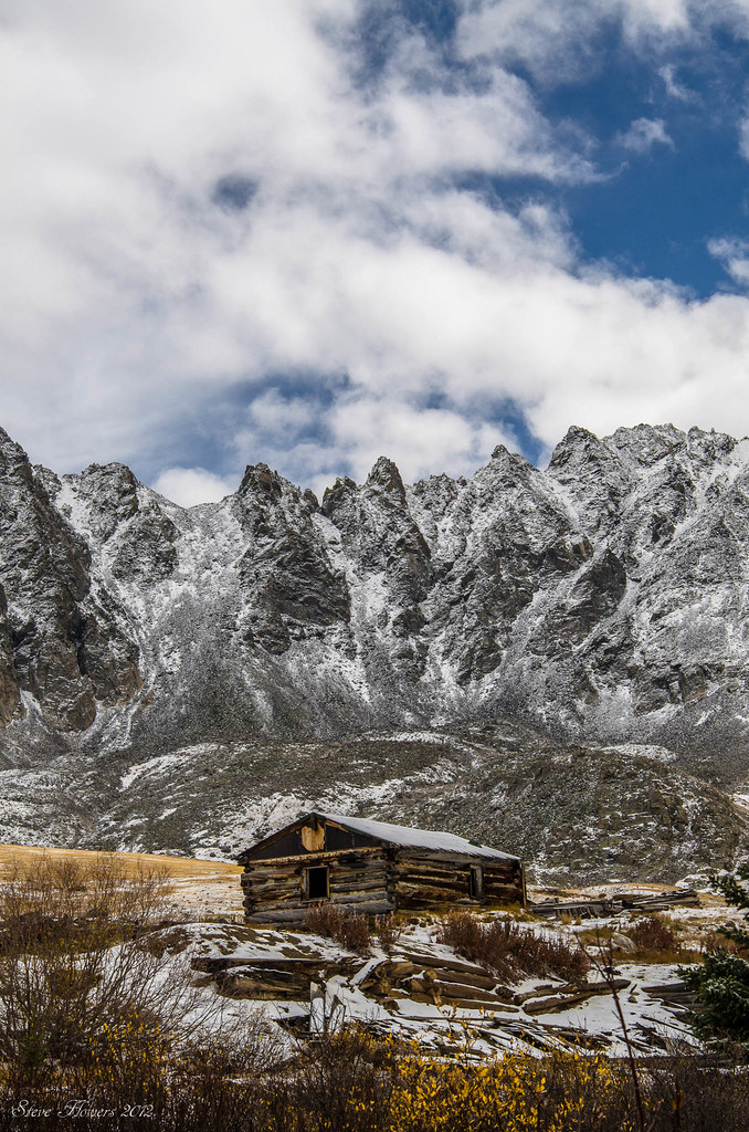
The cabin

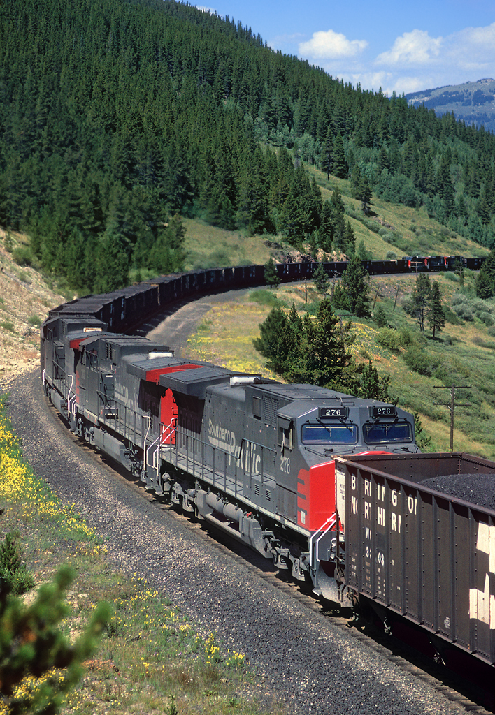
Heading up Fremont Pass

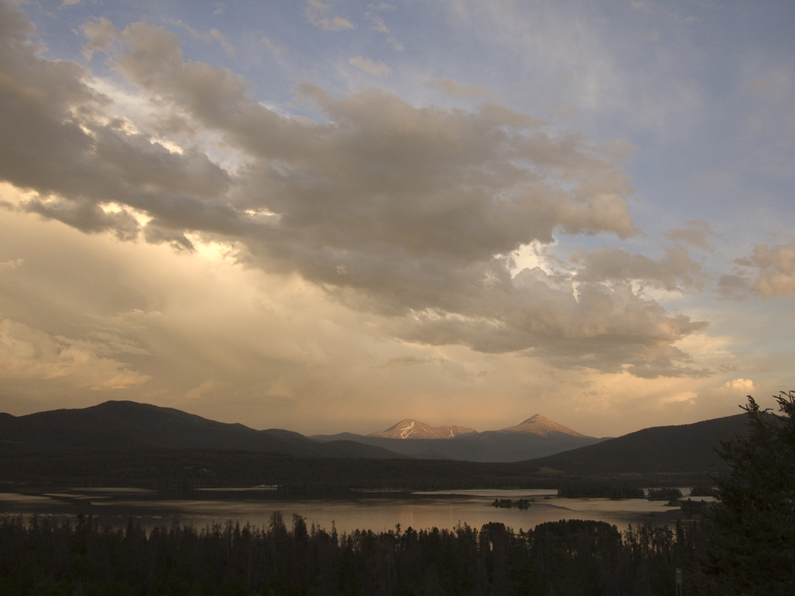
Clinton Reservoir panorama
Copper Mtn (2 of 8)
Lunch Break
Getting High
Vail Pass Bike Path
View from Wheeler Trail
Fletcher Mountain

Breckenridge Trails
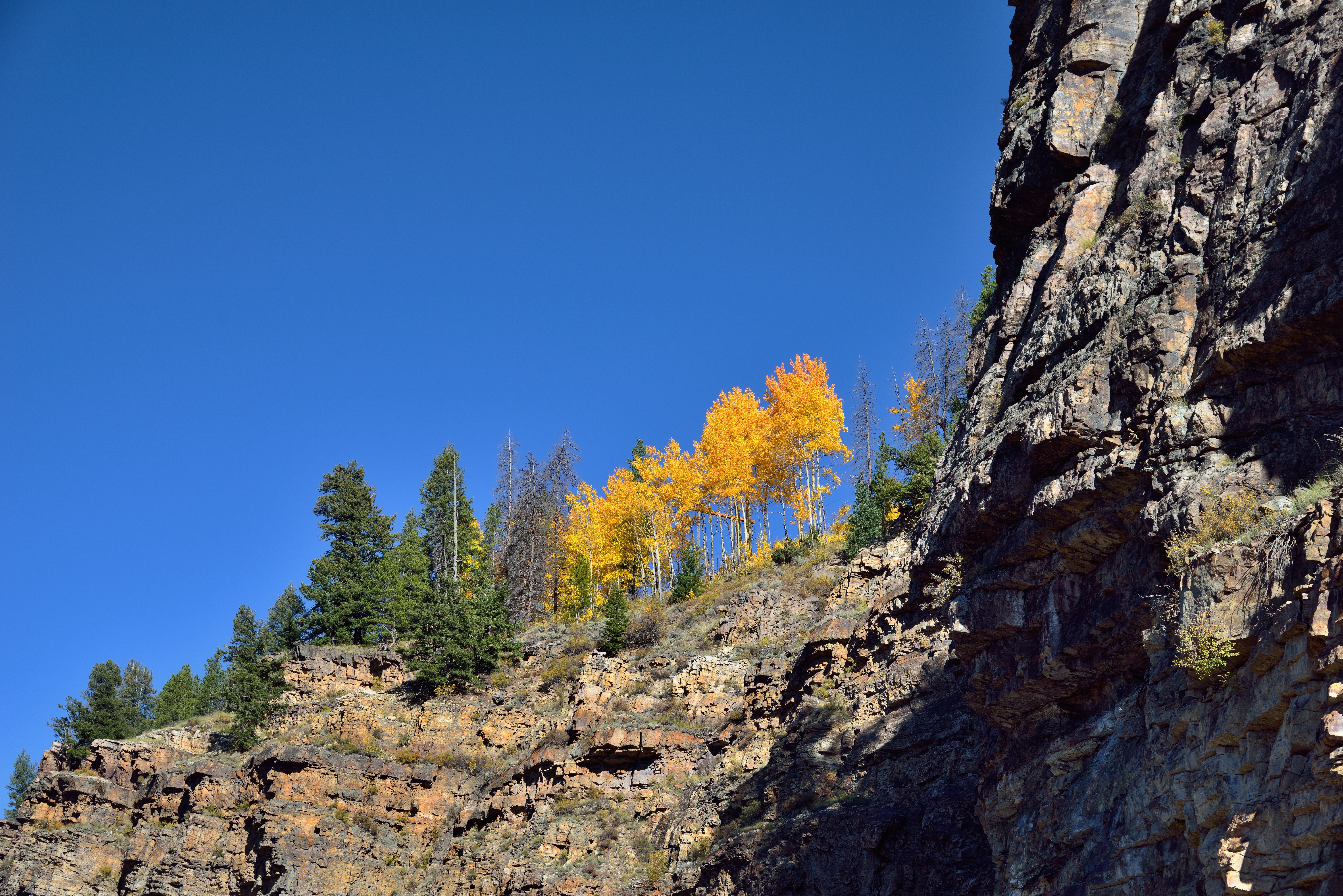
Aspens and Evergreens on Top of a Cliff in Colorado

Lower Mohawk Lake
Copper Mtn (5 of 8)
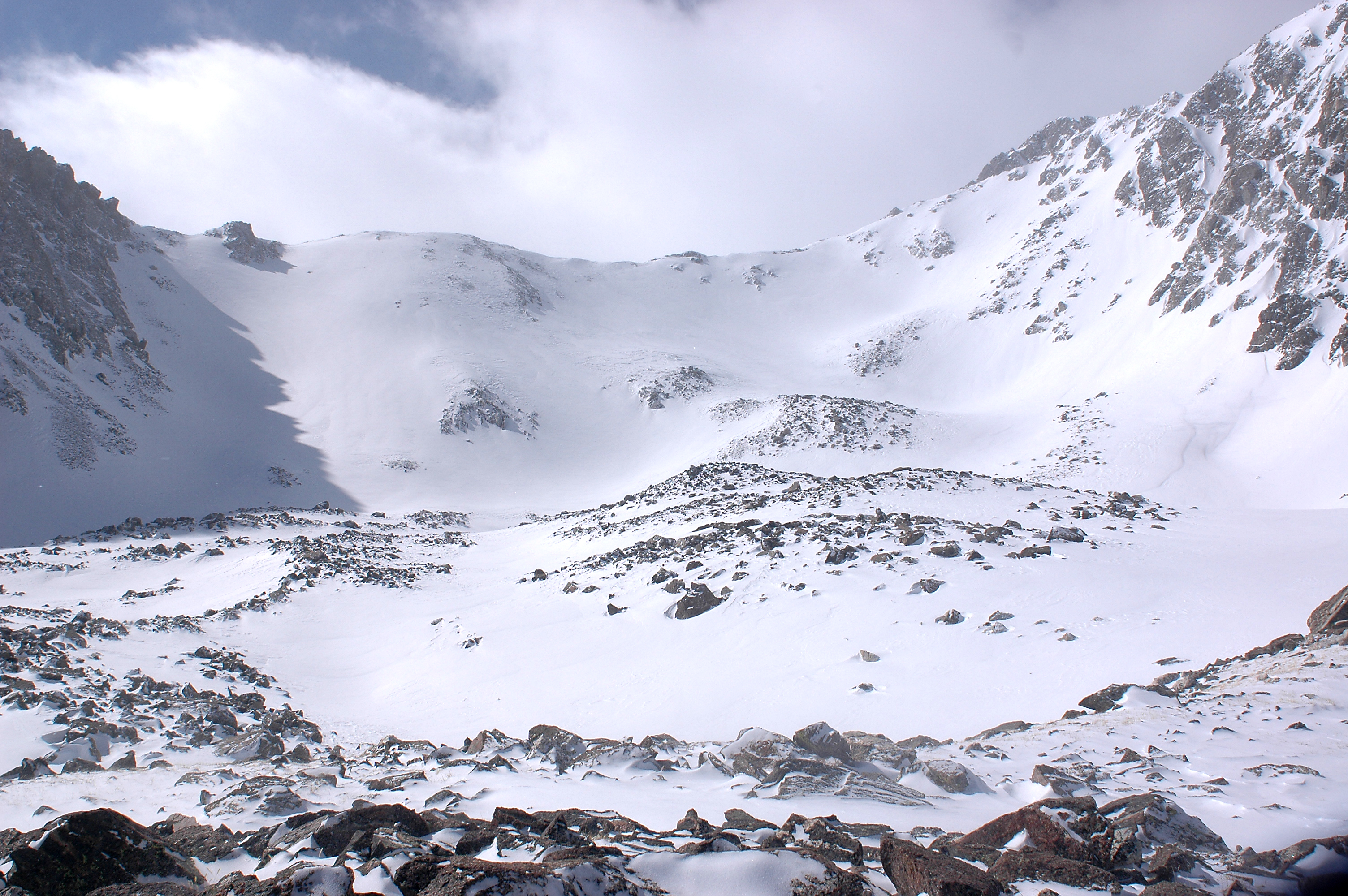
View of Moraines in Cirque
Copper Mtn (4 of 8)
Copper Mtn (6 of 8)
Breck Exhaustion Day(12)
Copper Mtn (7 of 8)
Topographic Map of North Sheep Mountain, Colorado, USA
Find elevation by address:

Places near North Sheep Mountain, Colorado, USA:
Tucker Mountain
Ptarmigan Hill
1132 Copper Rd
Camp Hale
Wingle Ridge
Ski Area Access
US-24, Leadville, CO, USA
Vail Pass
Copper Road
US-24, Red Cliff, CO, USA
Copper Mountain
Copper Mountain
296 Copper Rd
Shrine Pass
60 CO-91, Frisco, CO, USA
Quandary Peak
Uneva Peak
Peak 4
Hornsilver Campground
Mccullough Gulch Trailhead
Recent Searches:
- Elevation of Corso Fratelli Cairoli, 35, Macerata MC, Italy
- Elevation of Tallevast Rd, Sarasota, FL, USA
- Elevation of 4th St E, Sonoma, CA, USA
- Elevation of Black Hollow Rd, Pennsdale, PA, USA
- Elevation of Oakland Ave, Williamsport, PA, USA
- Elevation of Pedrógão Grande, Portugal
- Elevation of Klee Dr, Martinsburg, WV, USA
- Elevation of Via Roma, Pieranica CR, Italy
- Elevation of Tavkvetili Mountain, Georgia
- Elevation of Hartfords Bluff Cir, Mt Pleasant, SC, USA