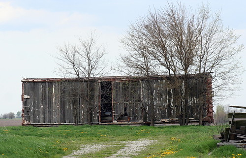
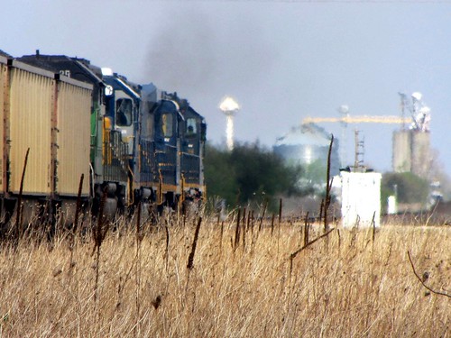
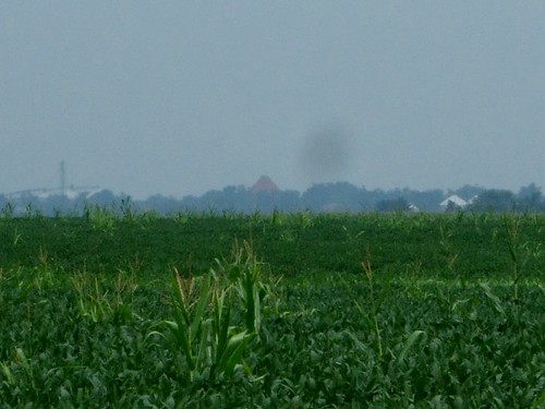
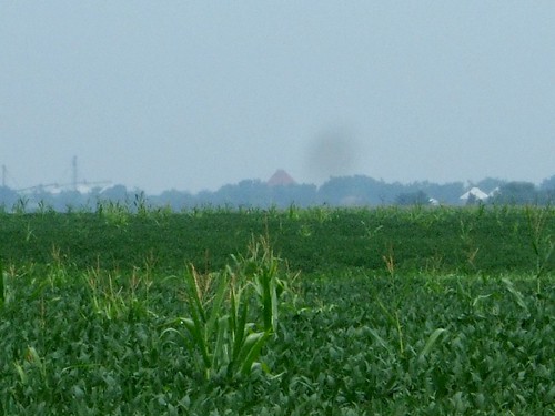
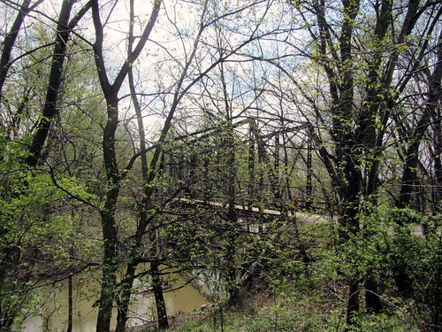
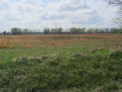
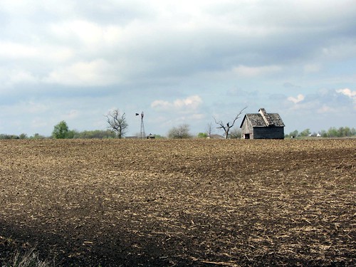
Elevation of North Rd, Watseka, IL, USA
Location: United States > Illinois > Iroquois County > Martinton Township >
Longitude: -87.731131
Latitude: 40.8608562
Elevation: 196m / 643feet
Barometric Pressure: 99KPa
Related Photos:
Topographic Map of North Rd, Watseka, IL, USA
Find elevation by address:

Places near North Rd, Watseka, IL, USA:
Middleport Township
Watseka, IL, USA
Lawrence Dr, Martinton, IL, USA
Martinton Township
2040 N Co Rd 1800 E #1698
2040 N Co Rd 1800 E #1698
2040 N Co Rd 1800 E #1698
2040 N Co Rd 1800 E #1698
2040 N Co Rd 1800 E #1698
2040 N Co Rd 1800 E #1698
Donovan
St Charles St, Beaverville, IL, USA
Beaverville
Beaver Township
7828 S 6000e Rd
E North Rd, Donovan, IL, USA
Beaverville Township
Saint Anne
S Sugar Island Rd, Chebanse, IL, USA
St. Anne Township
Recent Searches:
- Elevation of Corso Fratelli Cairoli, 35, Macerata MC, Italy
- Elevation of Tallevast Rd, Sarasota, FL, USA
- Elevation of 4th St E, Sonoma, CA, USA
- Elevation of Black Hollow Rd, Pennsdale, PA, USA
- Elevation of Oakland Ave, Williamsport, PA, USA
- Elevation of Pedrógão Grande, Portugal
- Elevation of Klee Dr, Martinsburg, WV, USA
- Elevation of Via Roma, Pieranica CR, Italy
- Elevation of Tavkvetili Mountain, Georgia
- Elevation of Hartfords Bluff Cir, Mt Pleasant, SC, USA
