Elevation of Lawrence Dr, Martinton, IL, USA
Location: United States > Illinois > Iroquois County > Martinton Township >
Longitude: -87.729519
Latitude: 40.9126002
Elevation: 191m / 627feet
Barometric Pressure: 99KPa
Elevation Map:
Satellite Map:
Related Photos:
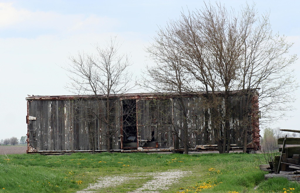
Old Boxcars Never Die, They Just Fade Away
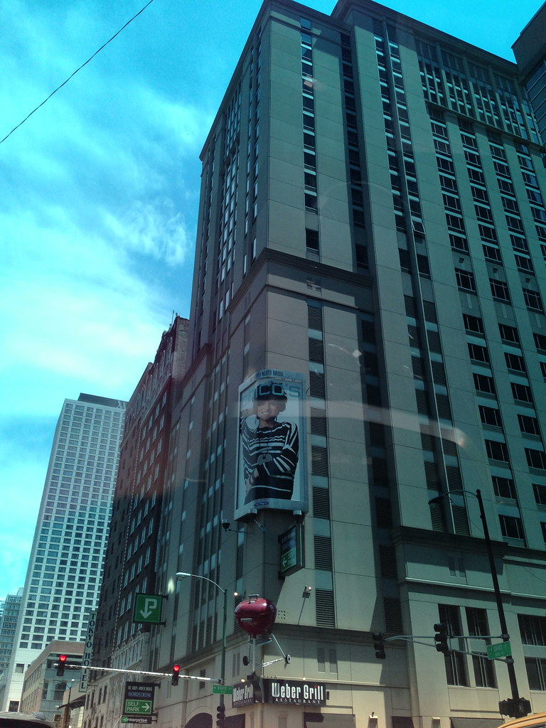
The View From My Room
Country winter morning
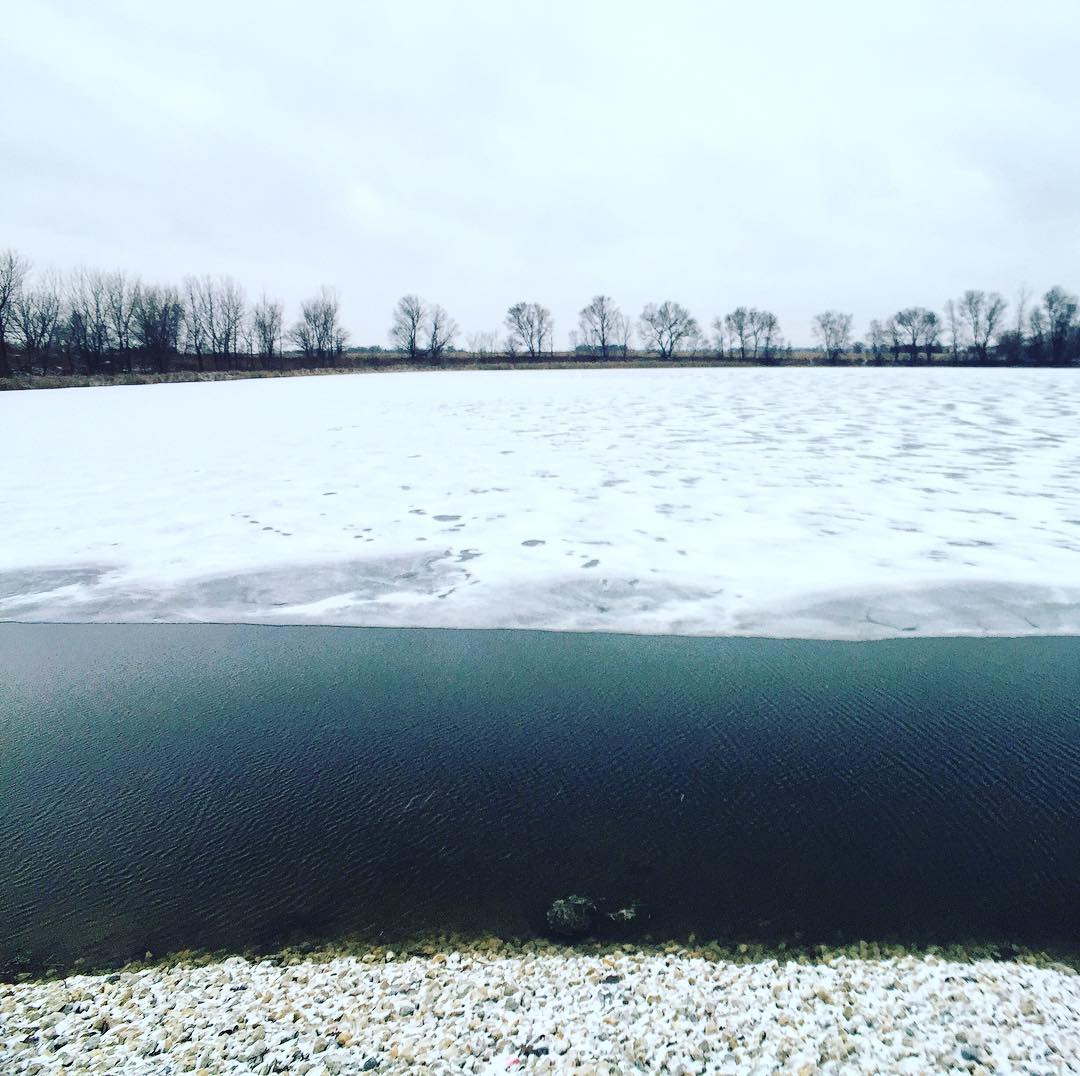
Snowy winter morning at Cote Lake
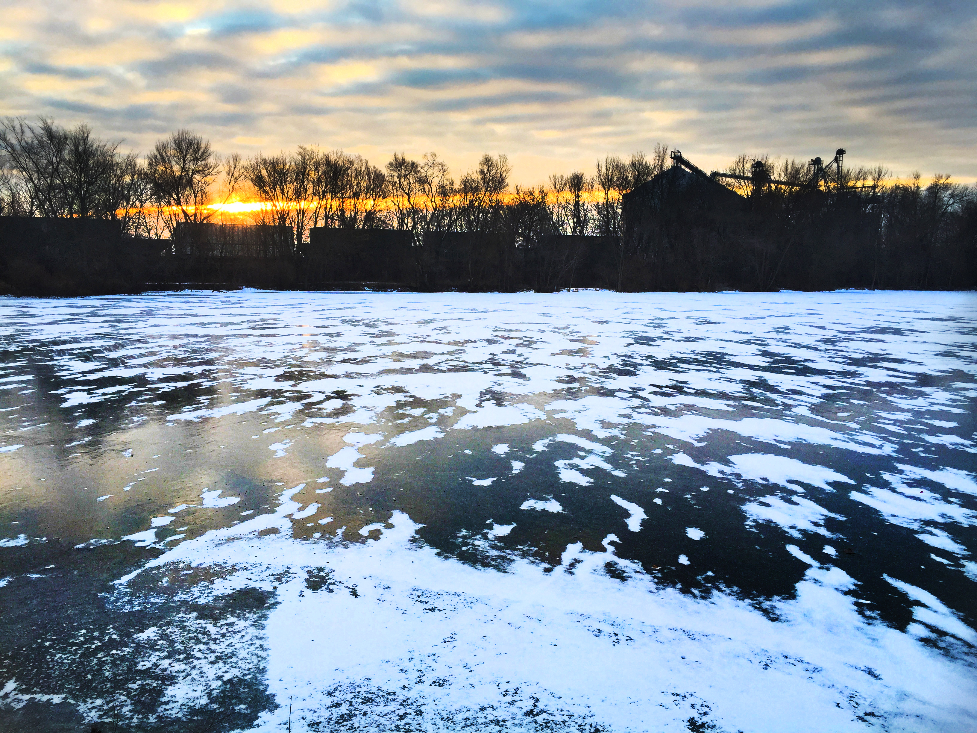
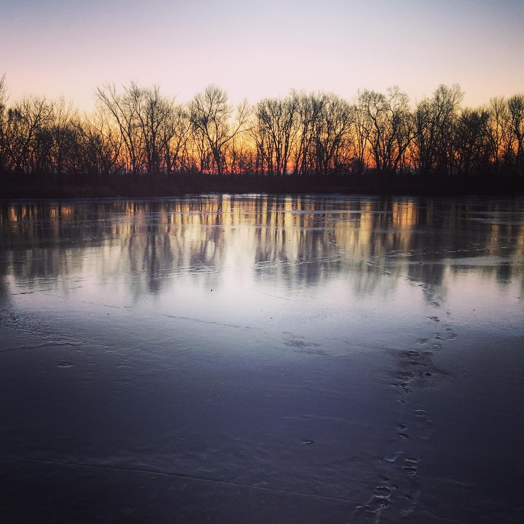
Cote Lake Sunrise

20120324 049 CSX near Martinton, Illinois

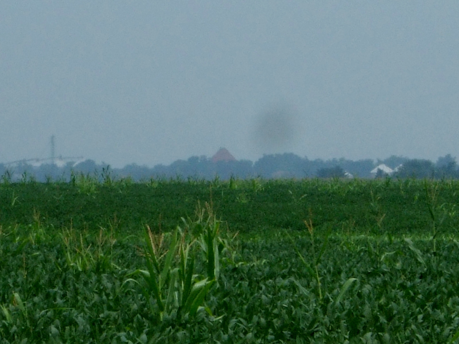
23. Corn
St. Mary Catholic Church, Beaverville, IL
St. Mary Catholic Church, Beaverville, IL

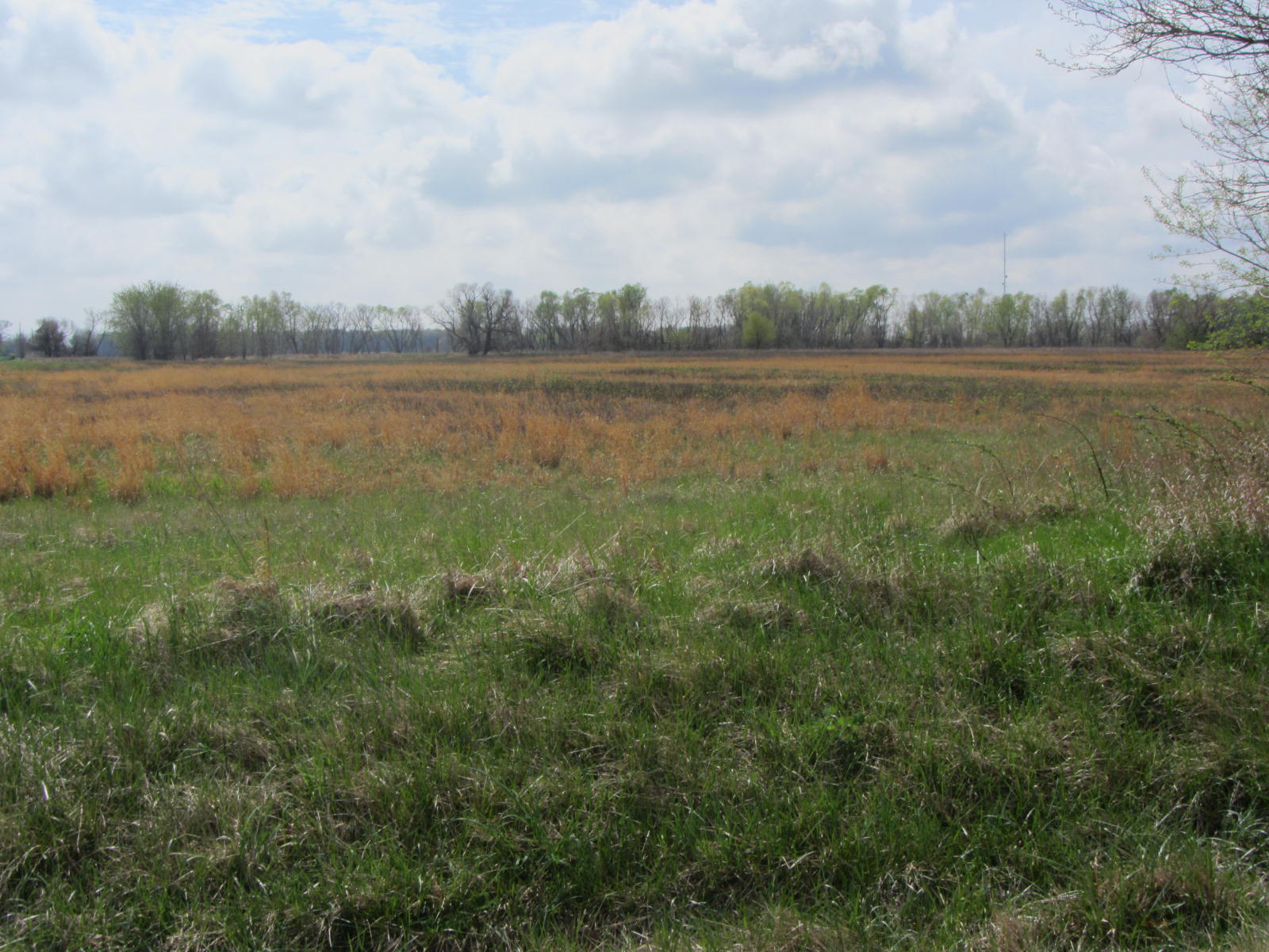
22. Sunny Days
20120324 053 near Watseka, Illinois

20120324 052 near Watseka, Illinois
Topographic Map of Lawrence Dr, Martinton, IL, USA
Find elevation by address:

Places near Lawrence Dr, Martinton, IL, USA:
Martinton Township
North Rd, Watseka, IL, USA
Middleport Township
St Charles St, Beaverville, IL, USA
Beaverville
Watseka, IL, USA
7828 S 6000e Rd
2040 N Co Rd 1800 E #1698
2040 N Co Rd 1800 E #1698
2040 N Co Rd 1800 E #1698
2040 N Co Rd 1800 E #1698
2040 N Co Rd 1800 E #1698
2040 N Co Rd 1800 E #1698
Saint Anne
Donovan
St. Anne Township
Beaver Township
Beaverville Township
S Sugar Island Rd, Chebanse, IL, USA
E North Rd, Donovan, IL, USA
Recent Searches:
- Elevation of Corso Fratelli Cairoli, 35, Macerata MC, Italy
- Elevation of Tallevast Rd, Sarasota, FL, USA
- Elevation of 4th St E, Sonoma, CA, USA
- Elevation of Black Hollow Rd, Pennsdale, PA, USA
- Elevation of Oakland Ave, Williamsport, PA, USA
- Elevation of Pedrógão Grande, Portugal
- Elevation of Klee Dr, Martinsburg, WV, USA
- Elevation of Via Roma, Pieranica CR, Italy
- Elevation of Tavkvetili Mountain, Georgia
- Elevation of Hartfords Bluff Cir, Mt Pleasant, SC, USA