Elevation of North Dighton, MA, USA

Location: United States > Massachusetts > Bristol County > Dighton > North Dighton >

Longitude: -71.156734

Latitude: 41.8630484

Elevation: 32m / 105feet

Barometric Pressure: 101KPa

Elevation Map:

elevation map of North Dighton, MA, USA
Satellite Map:

Satellite map of North Dighton, MA, USA
Related Photos:

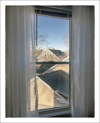
wednesday 0319 desauturated 18horton 2019 curtain window attleboro massachusetts unitedstatesofamerica us
Neighborhood View
Sentinels No More
Coasting Through Cotley
PR3 On The East Junction
B727 Switching at East Junction
B727 Switching on the East Junction Branch
nighttime lighttrail internationalspacestation iss international space station
ISS flyover
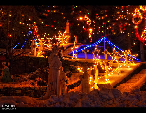
christmas holiday ma lights pond shrine cardinal massachusetts ornament mass attleboro lasalette dmcg10
Reflections Of Christmas
square squareformat slaterpark iphoneography instagramapp
View from my Swan > My 'First time ever' on a Paddle Boat.
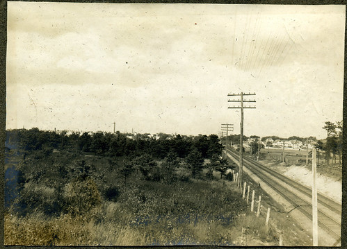
art attleboro circa1900 newhavenrailroad
19. Railroad & Distant City
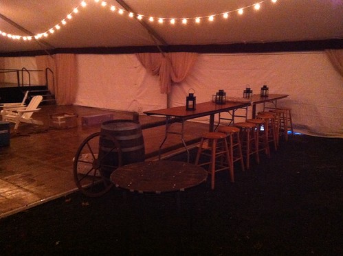
frametents clearspantents wintertents tentstructures freespantents
Dance Floor Viewing Area
frametents clearspantents wintertents tentstructures freespantents
View of the Tent Courtyard
attleboro 0319 2019 desauturated hrsw fbpost 18horton us massachusetts unitedstatesofamerica
Neighborhood View
longexposure travel winter usa holiday snow ice festival night children ma lights movement nikon shrine december action massachusetts newengland carousel festivaloflights 2010 attleboro d90 lasaletteshrine lasalette
Holiday Lights - Winter Spin
longexposure travel winter usa holiday snow ice festival night stairs children stars ma lights movement nikon shrine december candle action massachusetts hill newengland statues carousel yule festivaloflights nativity 2010 attleboro d90 lasaletteshrine lasalette
Holiday Lights - Ascension
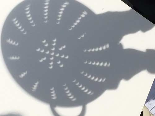
colander eclipse viewing wheaton
Eclipse, using a colander for viewing
trompeloeil attleboro laferriere sandwich bag art hole sharpie ziploc sandwichbagdad
Another view of the Holey Sandwich
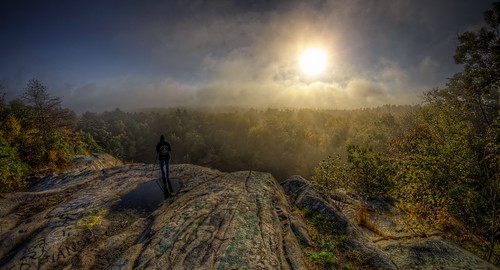
morning autumn sun mist fall fog sunrise landscape pentax massachusetts newengland granite paranormal magical quarry hdr myst freetown tonemapped assonet assonetledge blinkagain trigphotography frankcgrace
Early Morning Myst
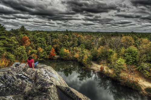
autumn color fall clouds ma photography stage massachusetts newengland haunted spooky foliage granite quarry hdr highdynamicrange fallriver freetown tonemapped assonet watuppa bridgewatertriangle blinkagain trigphotography pukwudgie frankcgrace freetownfallriverstateforest
The Assonet Ledge
flowers light summer sunlight nature grass garden spider spiderweb
SMALL WONDERS
eastfreetown massachusetts unitedstates us drone mavicpro profilerock rock outcropping sunset fallfoliage
Profile Rock Sunset
TWO CHIMNEYS
flowers summer nature yellow august yellowflower blackeyedsusans flowerpetals
READY! LET'S DANCE
usfws fishandwildlifeservice usfishandwildlifeservice northeastregion restoration hurricanesandy hurricanesandyrecovery sandyrecoveryproject flockpond riverstreamrp hurricanesandyfws hurricanesandyproject68 aquaticconnectivity
Flock Process Dam - Norwalk, CT
large 1012 raynhamma iphone4s iphone36520
282/365 (+1) Johnson Pond
usfws fishandwildlifeservice usfishandwildlifeservicenortheastregion restoration hurricanesandy hurricanesandyrecovery sandyrecoveryproject whittendonandwestbritannia damremoval westbritania connecitcut whittentonbritanniadr madamremoval hurricanesandyfws hurricanesandyproject9 aquaticconnectivity
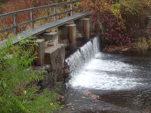
The falls at West Britannia Dam
mill river dam massachusetts rivers restoration mills usfws taunton usfishandwildlifeservice northeastregion fishandwildlifeservice whittenton hurricanesandy hurricanesandyrecovery sandyrecoveryproject riverstreamrp whittentonbritanniadr madamremoval hurricanesandyproject9 hurricanesandyfws
Whittenton Dam - Taunton, MA
somerset fallriver brightmanstreetbridge
Brightman Street Bridge, Fall River, MA
norton massachusetts ma animals rescueanimals donate rural cats witch autumn halloween usa america outdoors pumpkins trees landscape sun sunny chilly clear texture winslowfarmanimalsanctuary
The Enchanting.....
eastprovidence travel trees usa green tourism beautiful weather america landscapes yahoo spring scenery warm shadows newengland sunsets historic providence rhodeisland historical pvd sunflare rumford goprovidence huntsmill
Make A Wish.....
sunset sky sun clouds reflection river andrewlincolnphotographer massachusetts
Peakaboo Sunset
sunset sky sun clouds reflection river tauntonriver
July Sky
instagramapp square squareformat iphoneography uploaded:by=instagram
A mist-laden rise
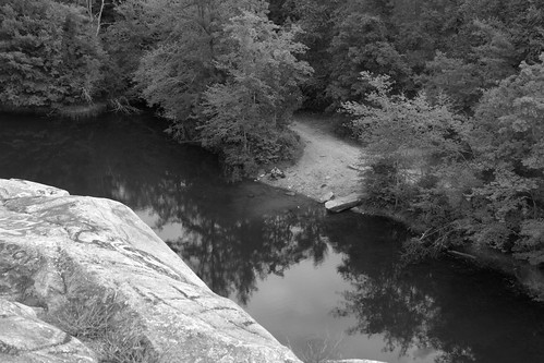
the edge of the ledge
road morning sun nature forest sunrise ma golden path walk massachusetts dirt rays freetown assonet freetownstateforest
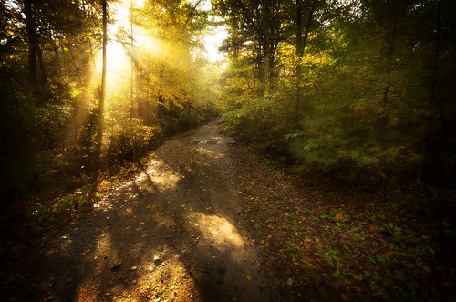
The Golden so-called Dark Woods
instagramapp square squareformat iphoneography uploaded:by=instagram
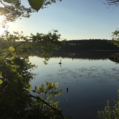
Swan (on the) Lake
railroad nikon track massachusetts hdr photomatix assonet 365project afdxfisheyenikkor105mmf28ged d7000 3652012
220/365 - Along the Tracks
freetown massachusetts unitedstates fallriver assonetledge ledge quarry forest stateforest hdr landscape granite legendtripping meditation
Taylor Green at the Ledge
horse goats pasture iphone iphone365 dcfilm hipstamatic snapseed janelens 13652014 12365iphone
Looking For Greener Pasture