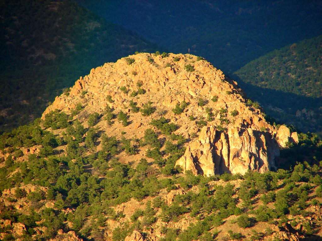
Elevation of North Burno Mountain, Colorado, USA
Location: United States > Colorado > Cotopaxi >
Longitude: -105.71916
Latitude: 38.5086077
Elevation: 2734m / 8970feet
Barometric Pressure: 72KPa
Elevation Map:
Satellite Map:
Related Photos:

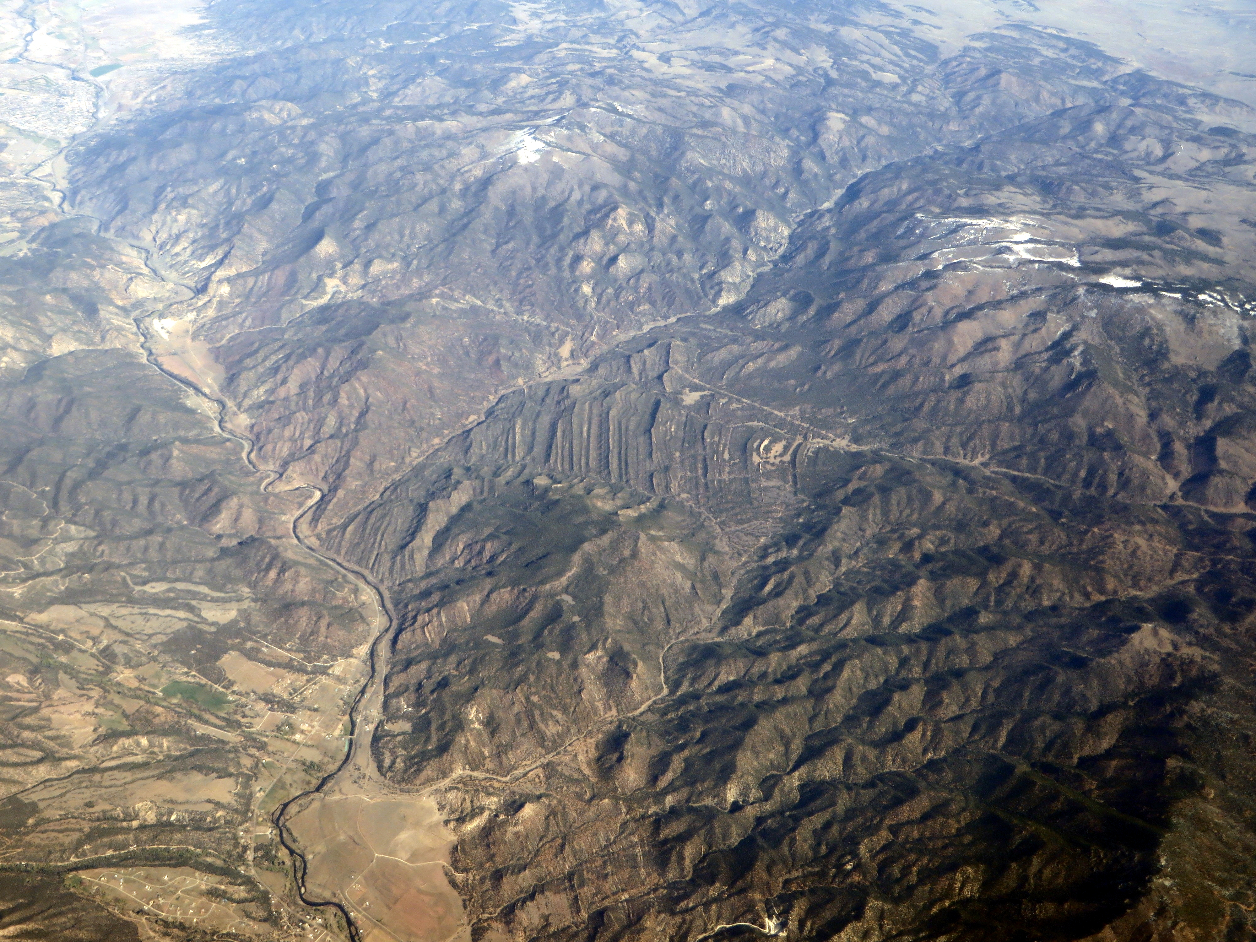
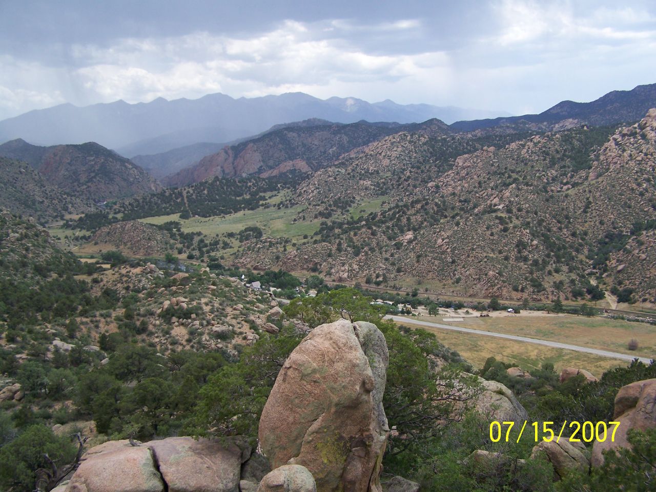
View From Airplane

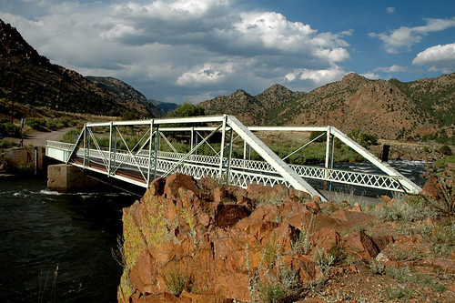
View from Badger Creek Bridge
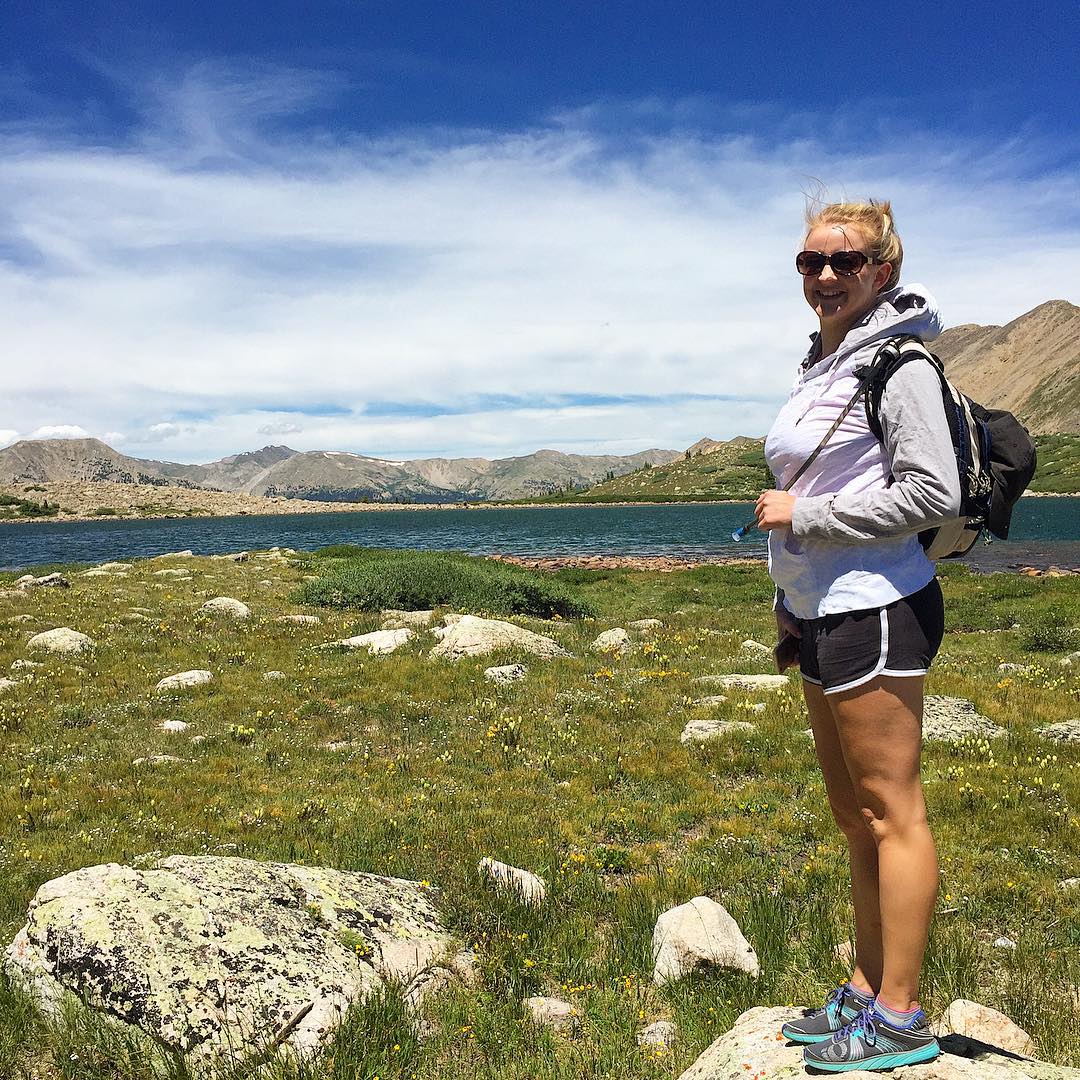
Happy birthday Shannon! ???? I love you so much! Enjoying the view at Pomeroy Lake at 12,000 feet elevation after a nice hike from our camp. #mountainview #mountains #colorado #hike #backcountry #jeep #jeepcountry #pomeroylakes #buenavista #camping
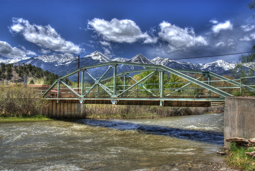
East Howard Bridge, Howard, Colorado
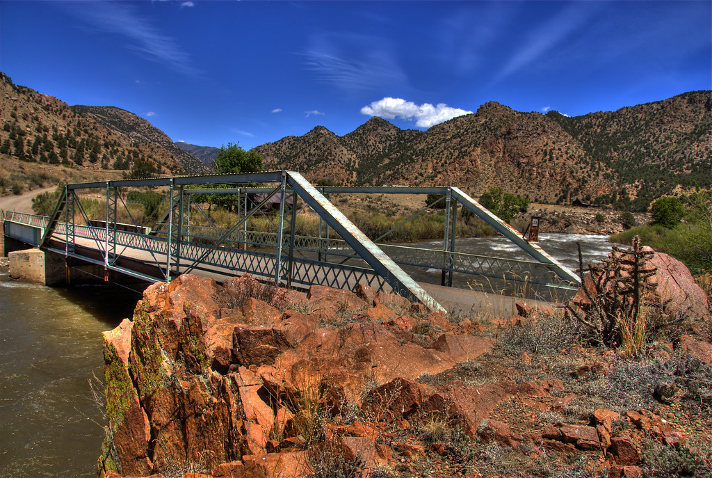
Texas Creek Bridge

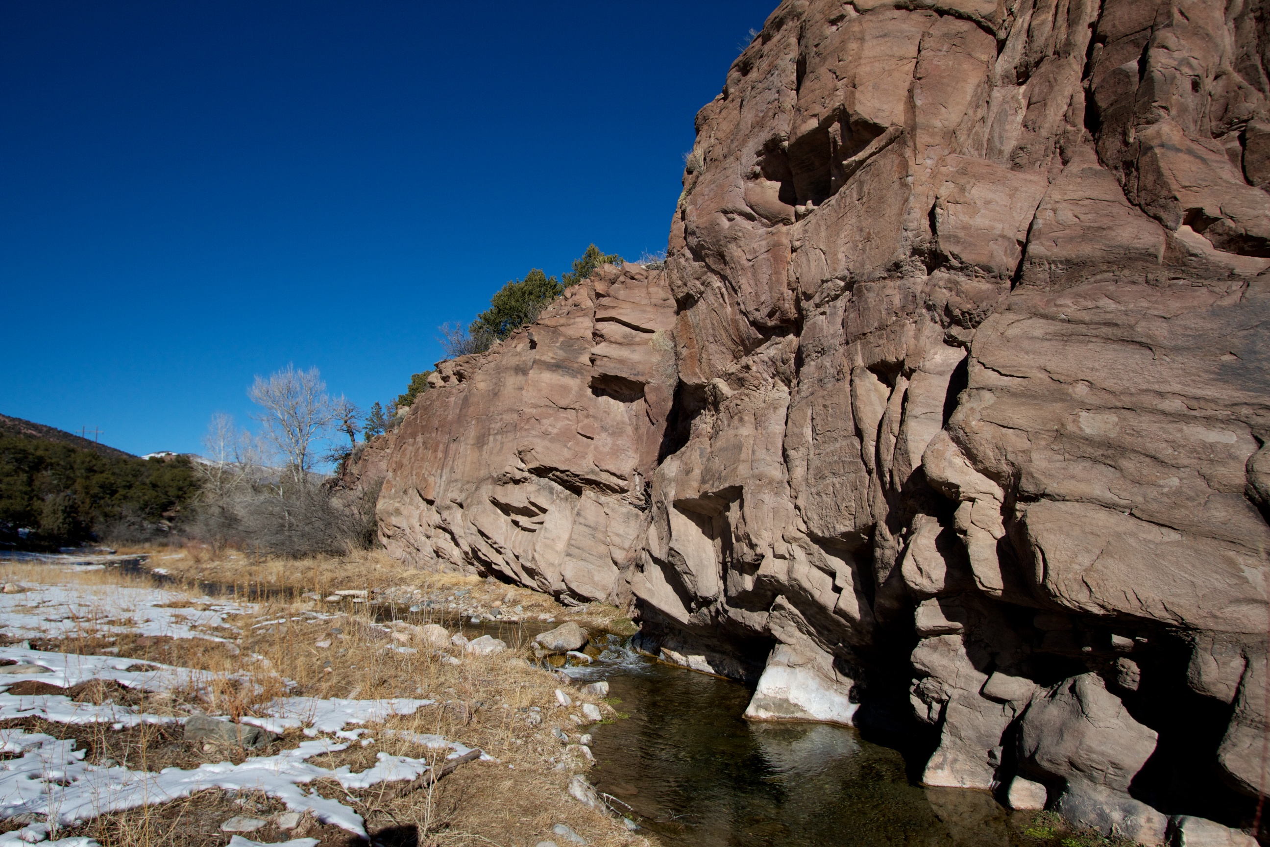
Badger Creek Bridge, Fremont County, Colorado

hlw921-Week 30-Water
Arkansas River along Hiway 50 in Colorado, USA
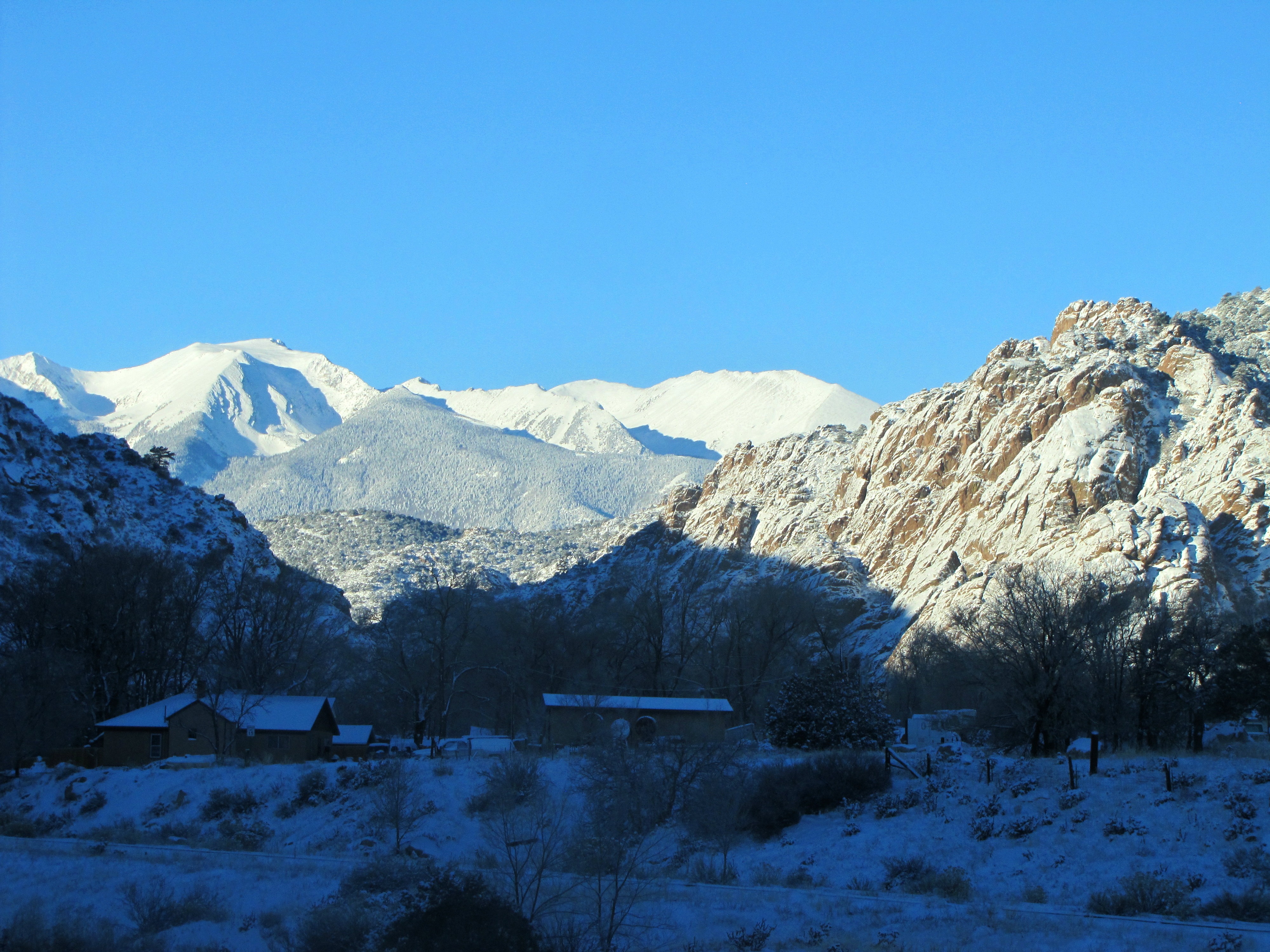
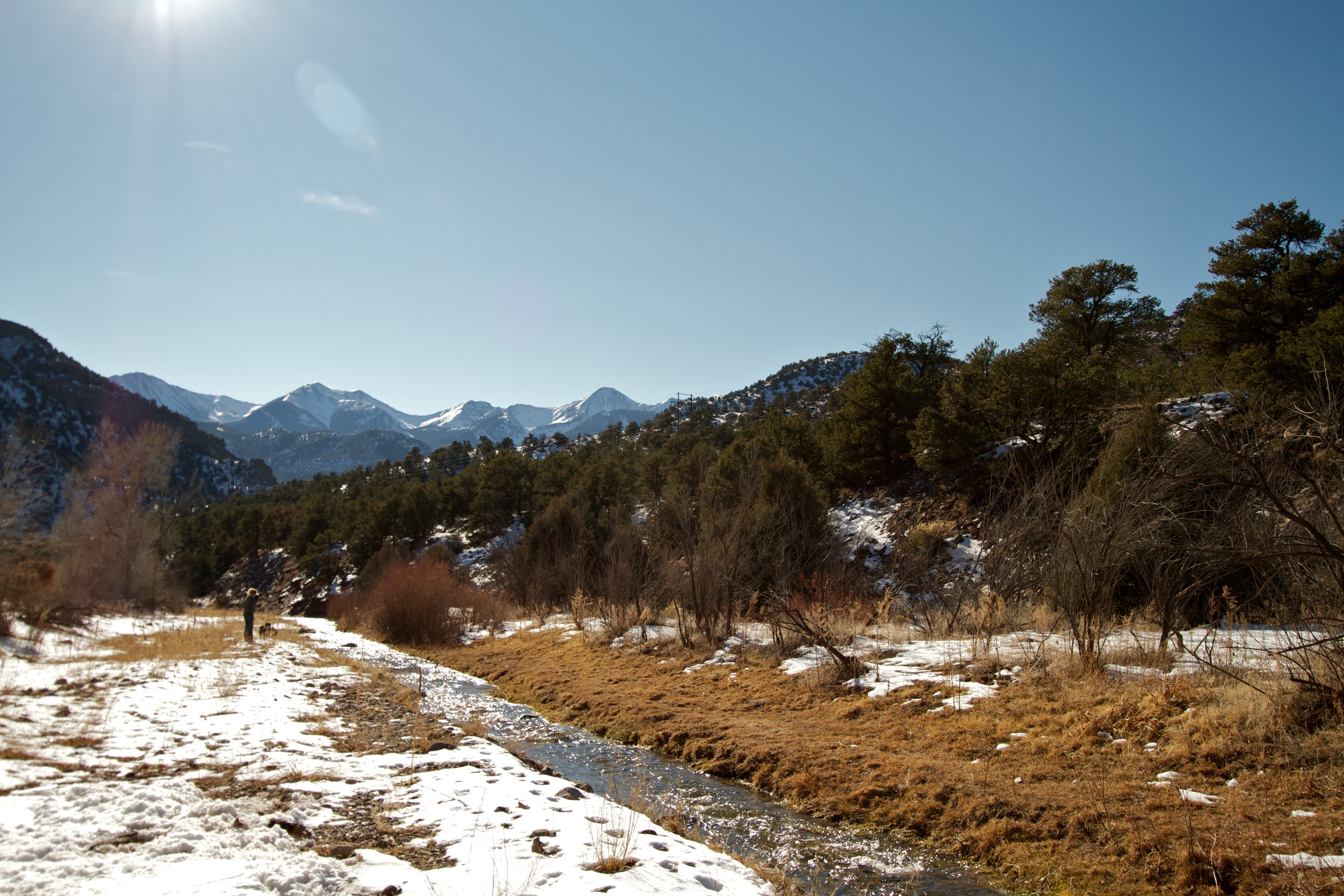
Early winter morning in Cotopaxi
us_trip 067
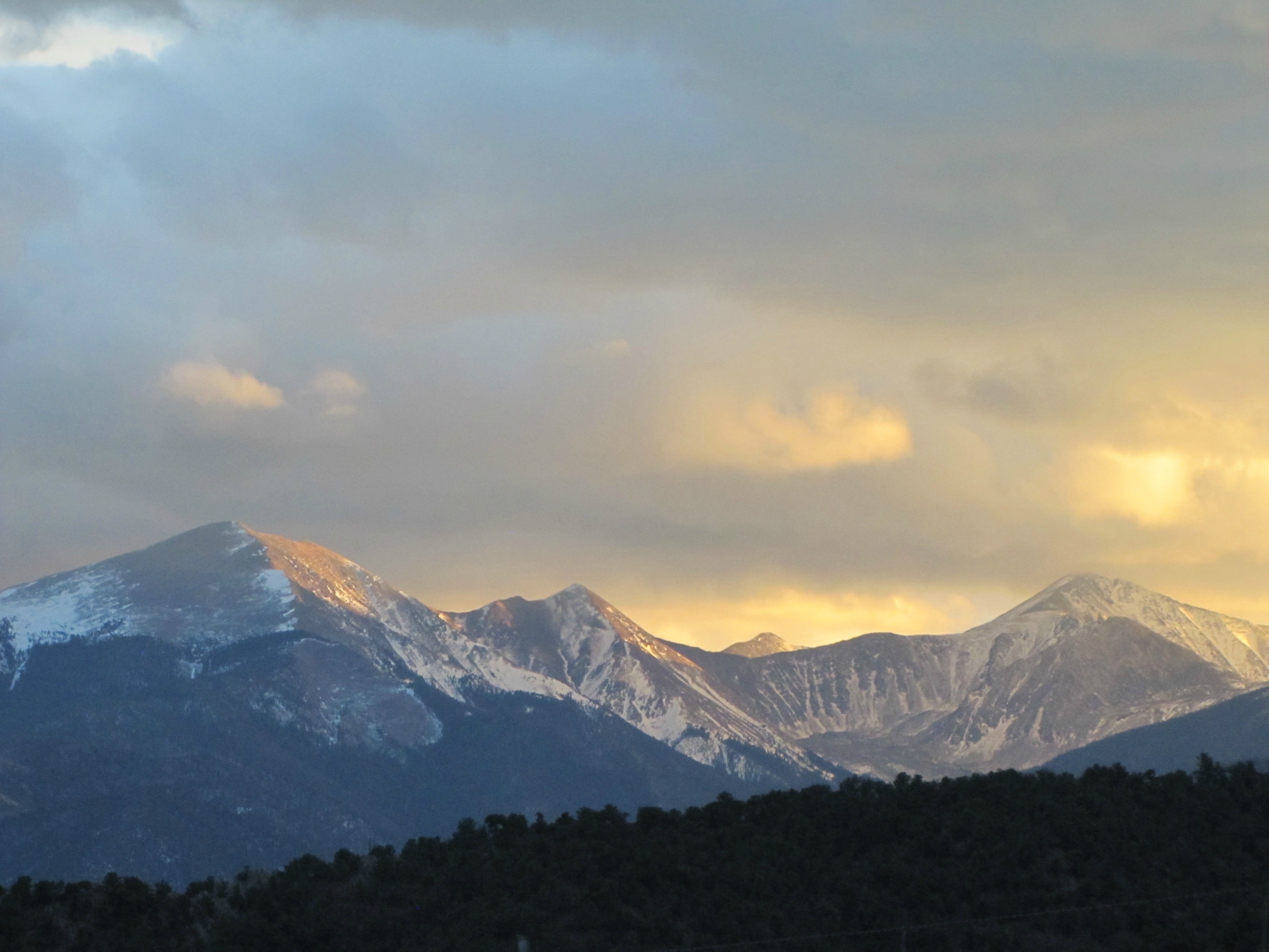
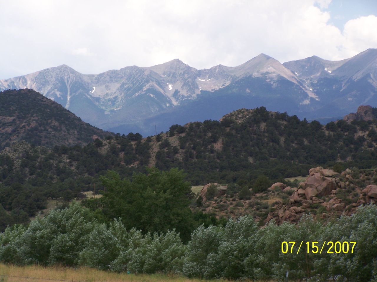
Dusk of the Sangre de Cristo Range
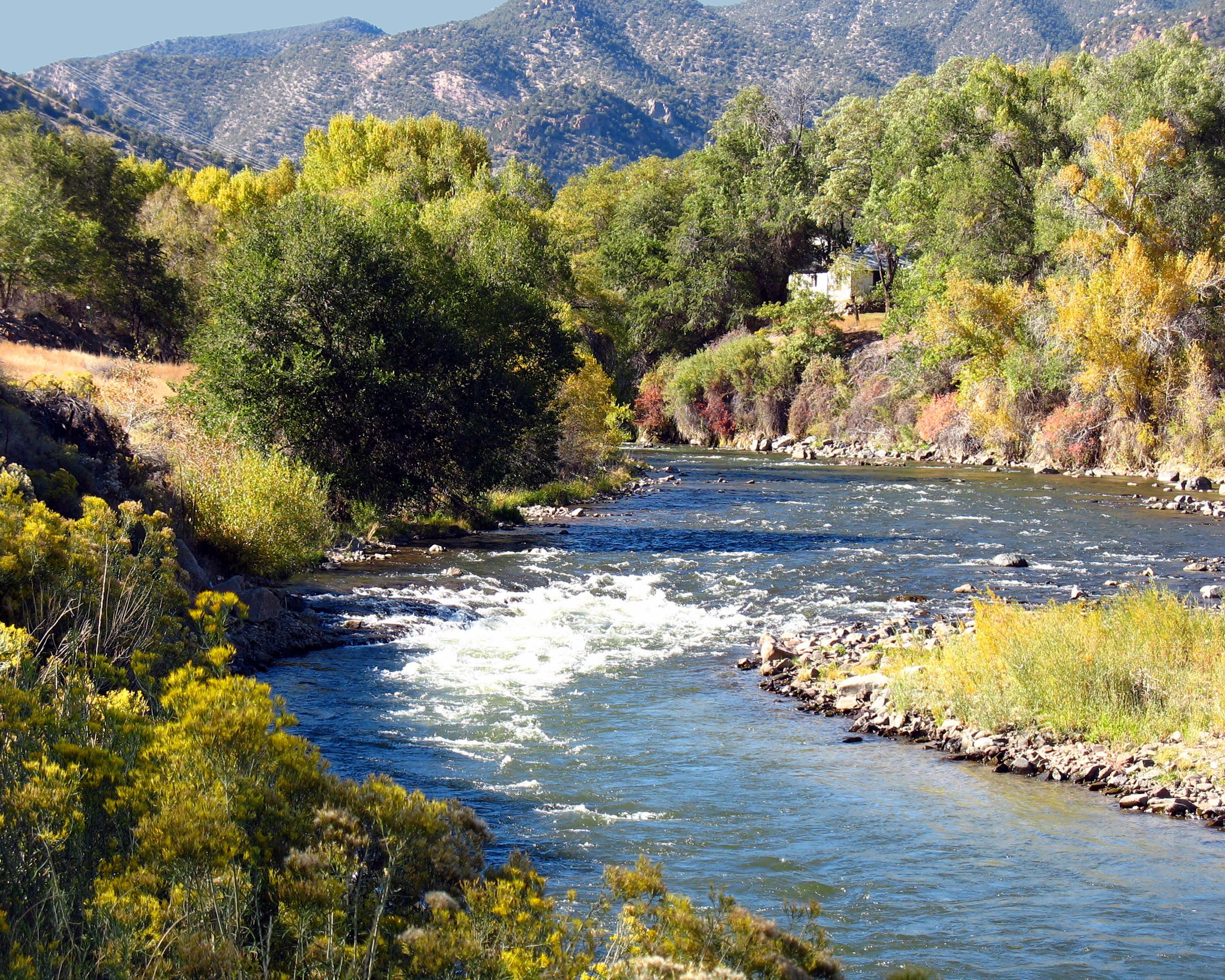
Arkansas River Near Howard, Colorado
Texas Creek Bridge, Arkansas River, Colorado
Rock and Faint Rainbow
Picture 012

Tunnel Along Ex-DRG&W Royal Gorge Route
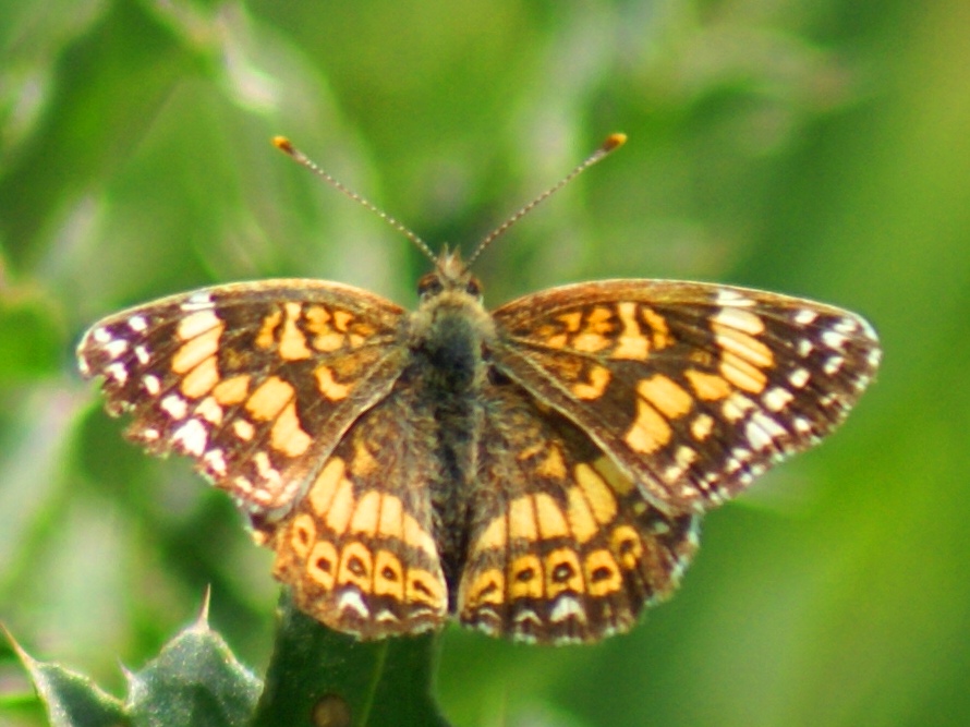
Sagebrush Checkerspot
Badger Creek

US 50 east of Salida
Queen of the world
A bit too far
Picture 015
Picture 019
Badger Creek - Lots of Trout Here!
Topographic Map of North Burno Mountain, Colorado, USA
Find elevation by address:

Places near North Burno Mountain, Colorado, USA:
Park Mountain
880 Burno Mountain Rd
304 Broken Arrow Dr
701 Green Mountain Rd
86 Verde Dr
4611 Antelope Trail
2611 Antelope Trail
2611 Antelope Trail
2611 Antelope Trail
2423 Co Rd 16
2423 Co Rd 16
1029 Antelope Trail
Stoney Face Mountain
47 Lobo Pl
1631 S T-bar Trail
Walker Way
1000 Walker Way
1147 Allen Rd
1377 S Tallahassee Trail
955 Allen Rd
Recent Searches:
- Elevation of Corso Fratelli Cairoli, 35, Macerata MC, Italy
- Elevation of Tallevast Rd, Sarasota, FL, USA
- Elevation of 4th St E, Sonoma, CA, USA
- Elevation of Black Hollow Rd, Pennsdale, PA, USA
- Elevation of Oakland Ave, Williamsport, PA, USA
- Elevation of Pedrógão Grande, Portugal
- Elevation of Klee Dr, Martinsburg, WV, USA
- Elevation of Via Roma, Pieranica CR, Italy
- Elevation of Tavkvetili Mountain, Georgia
- Elevation of Hartfords Bluff Cir, Mt Pleasant, SC, USA