Elevation of North Baldy, New Mexico, USA
Location: United States > New Mexico > Magdalena >
Longitude: -107.18114
Latitude: 34.0503422
Elevation: 2922m / 9587feet
Barometric Pressure: 71KPa
Elevation Map:
Satellite Map:
Related Photos:
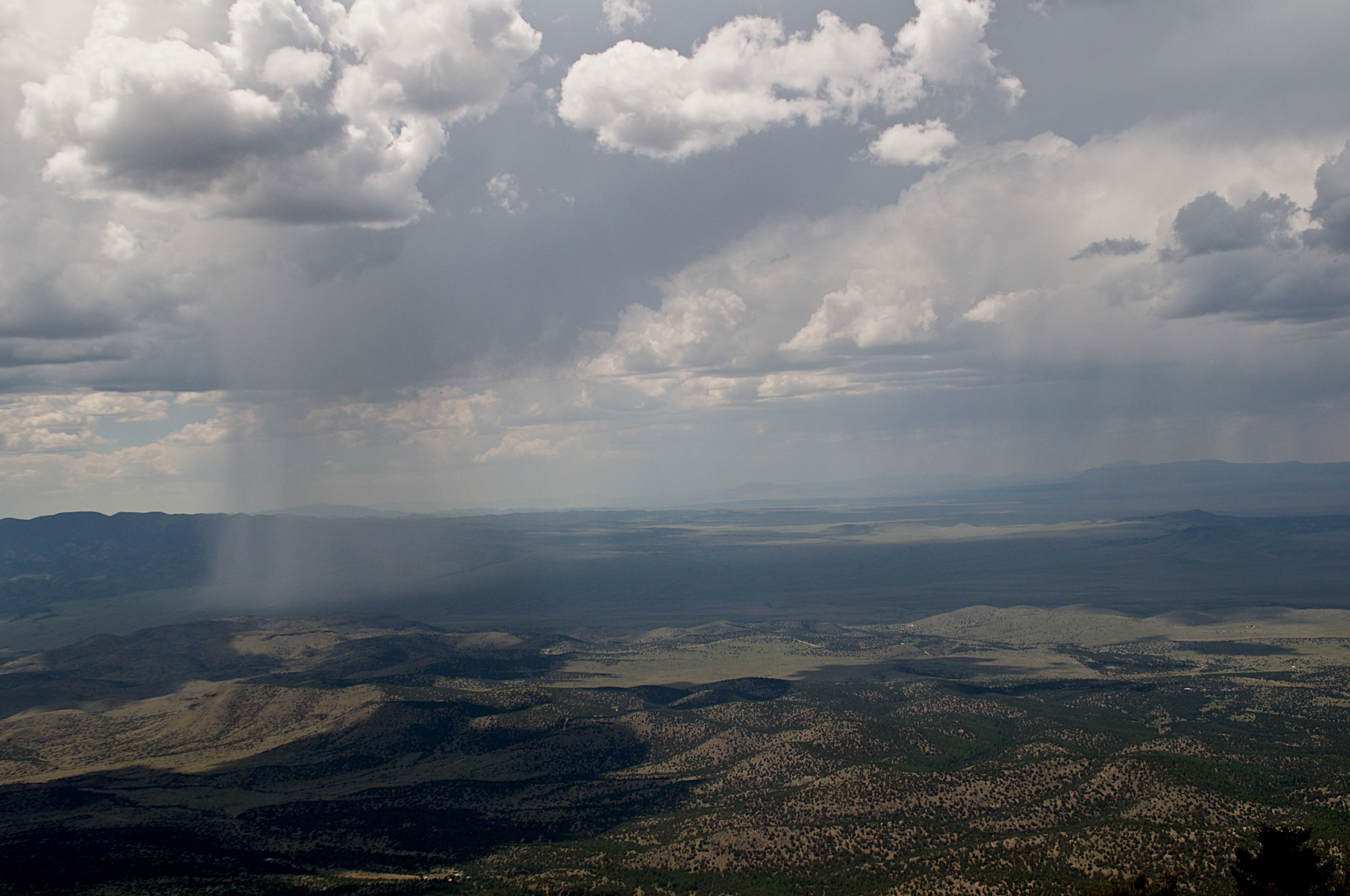
View from Magdalena Ridge Observatory
Topographic Map of North Baldy, New Mexico, USA
Find elevation by address:

Places near North Baldy, New Mexico, USA:
Water Canyon Campground
South Baldy
Timber Peak
903 Elm St
Buck Peak
Magdalena
New Mexico 107
12 Brahman Rd
Italian Peak
Cat Mountain
Bear Mountains Hp
122 Mustang Dr
Escondida
Socorro
Lemitar
Polvadera
NM-, Polvadera, NM, USA
NM-, Polvadera, NM, USA
A-l Peak
Macedonio Rd, San Acacia, NM, USA
Recent Searches:
- Elevation of Corso Fratelli Cairoli, 35, Macerata MC, Italy
- Elevation of Tallevast Rd, Sarasota, FL, USA
- Elevation of 4th St E, Sonoma, CA, USA
- Elevation of Black Hollow Rd, Pennsdale, PA, USA
- Elevation of Oakland Ave, Williamsport, PA, USA
- Elevation of Pedrógão Grande, Portugal
- Elevation of Klee Dr, Martinsburg, WV, USA
- Elevation of Via Roma, Pieranica CR, Italy
- Elevation of Tavkvetili Mountain, Georgia
- Elevation of Hartfords Bluff Cir, Mt Pleasant, SC, USA