Elevation of NM-, Polvadera, NM, USA
Location: United States > New Mexico > Socorro County > Polvadera >
Longitude: -106.91531
Latitude: 34.2176054
Elevation: 1426m / 4678feet
Barometric Pressure: 85KPa
Elevation Map:
Satellite Map:
Related Photos:

No Observing Tonight
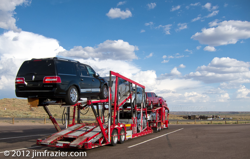
Auto Carrier

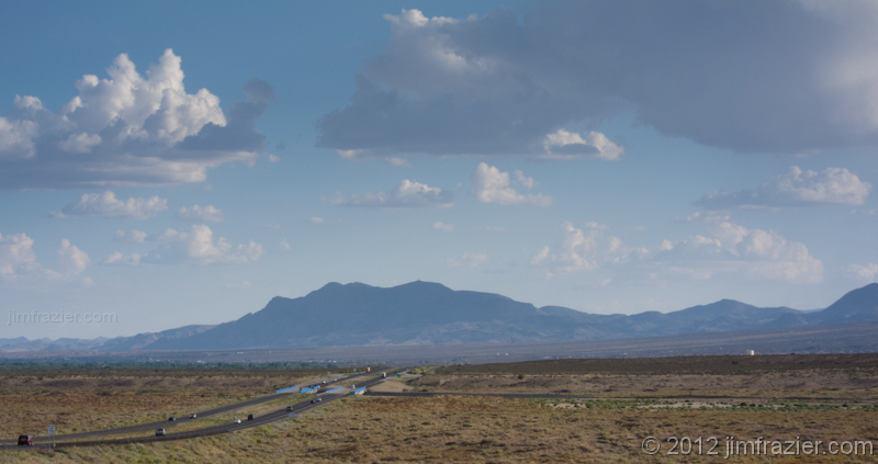
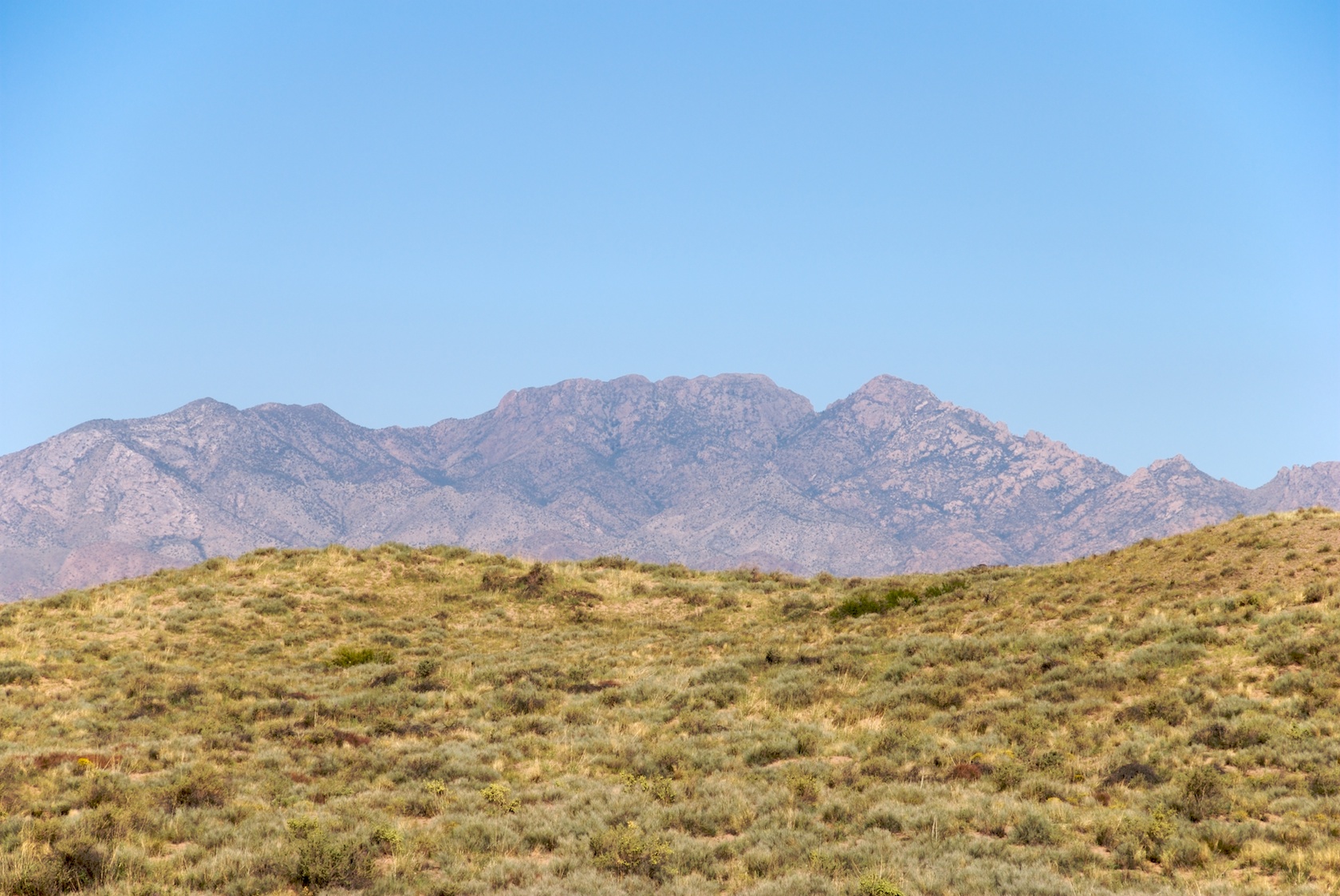
The view along I-25
Heading South to Socorro
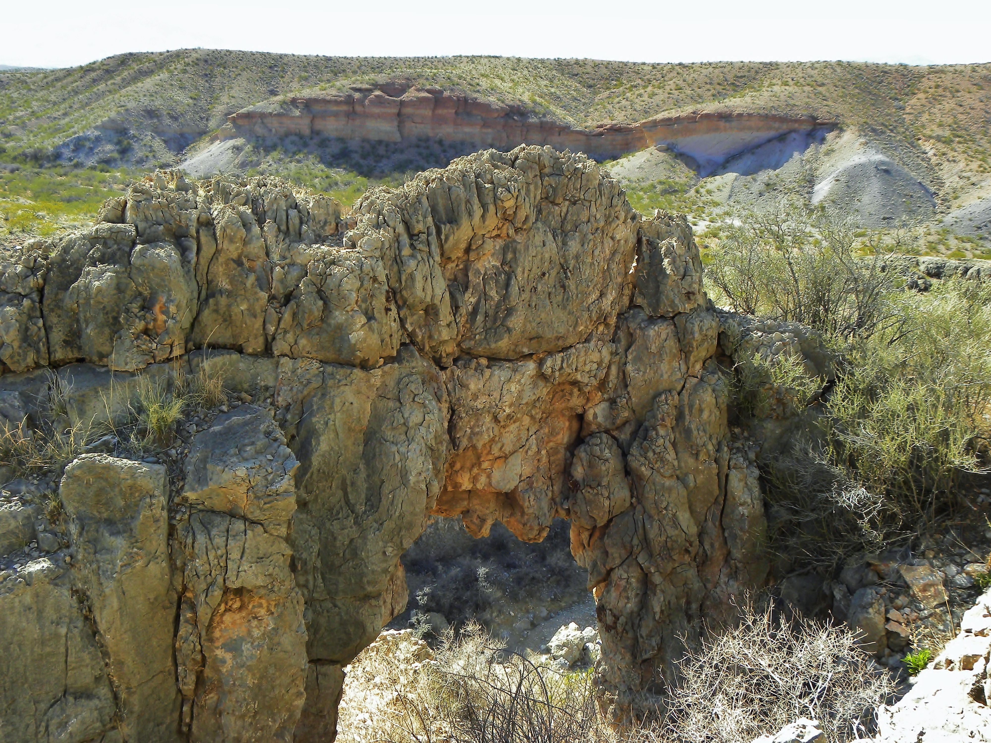
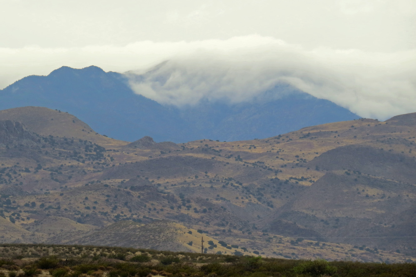
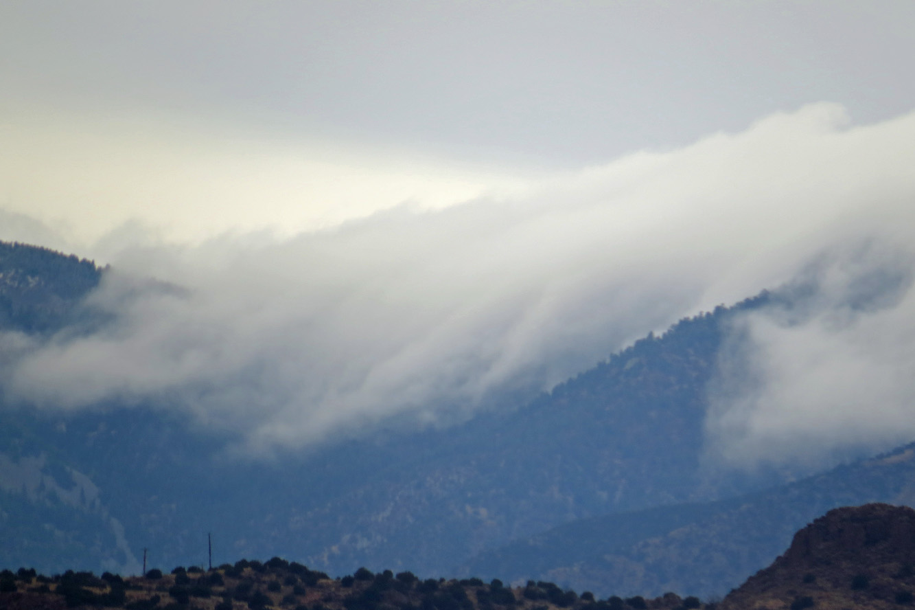
Above NM-355 Quebradas Arch
San Lorenzo Canyon, New Mexico
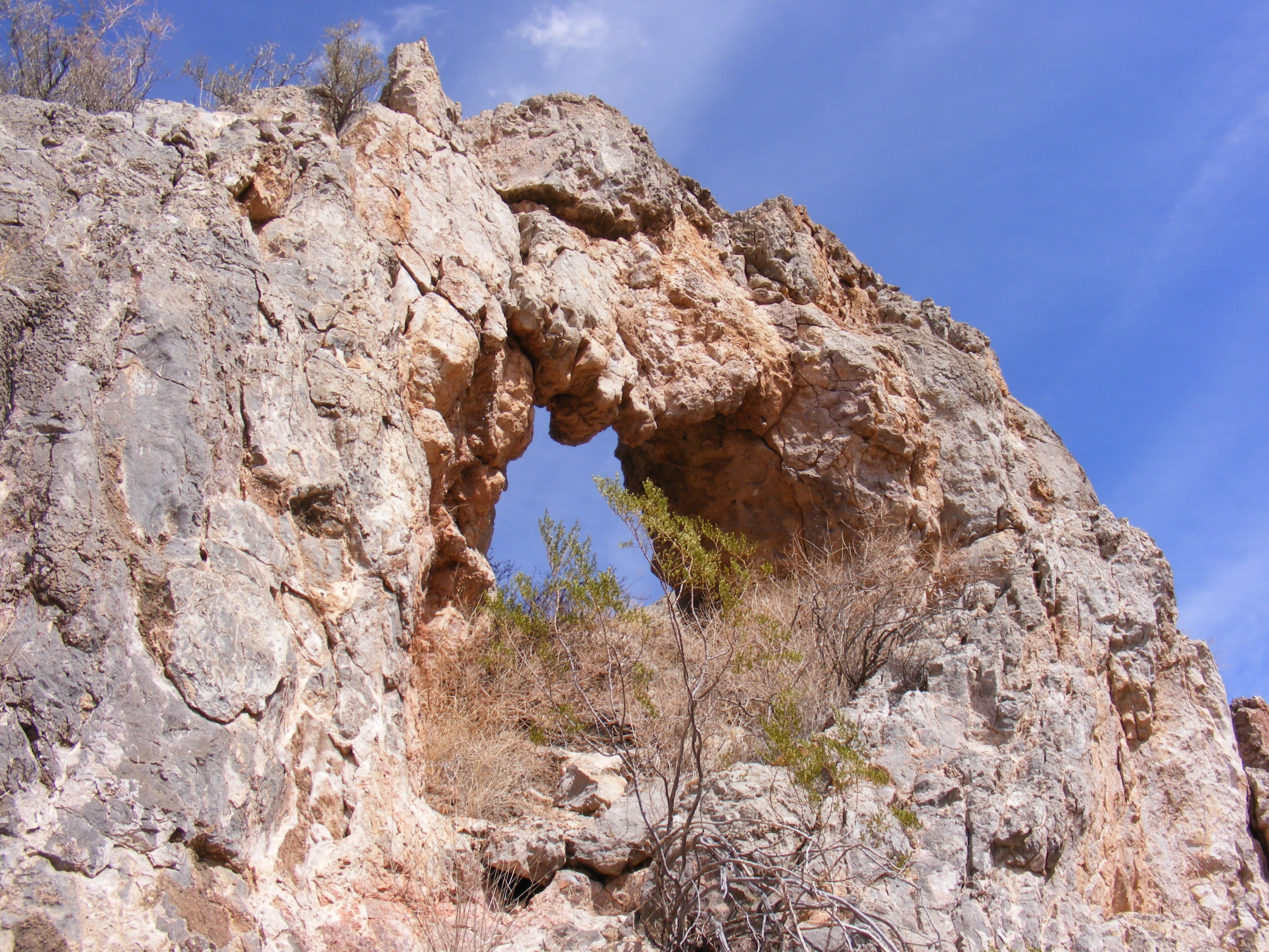
Quebradas Arch NM-355

View from Sevilleta NWR

Rest stop with a view! On the way to the VLA...
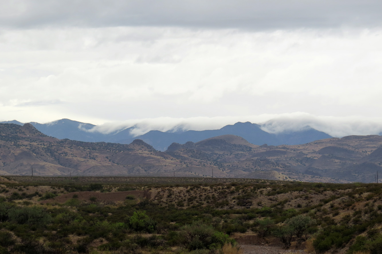
The view along I-25
View Northwest From Acomilla Historic Marker on I-25

View Southwest From Acomilla Historic Marker on I-25
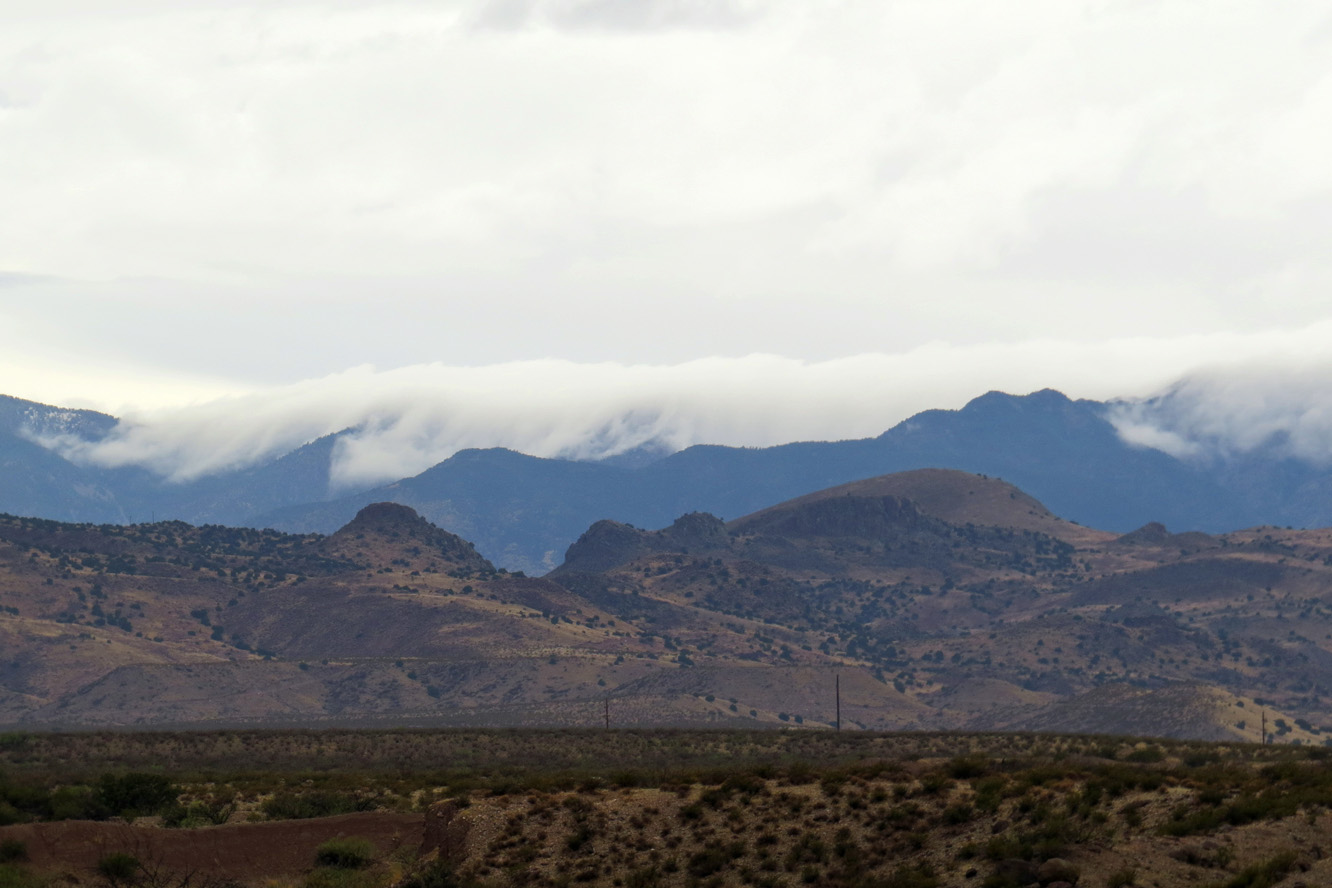
The view along I-25
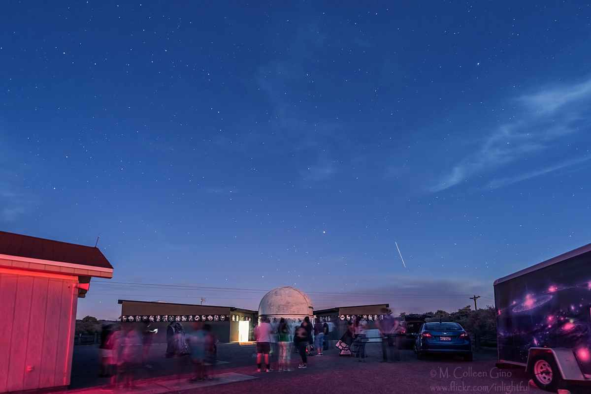
Etscorn Campus Observatory
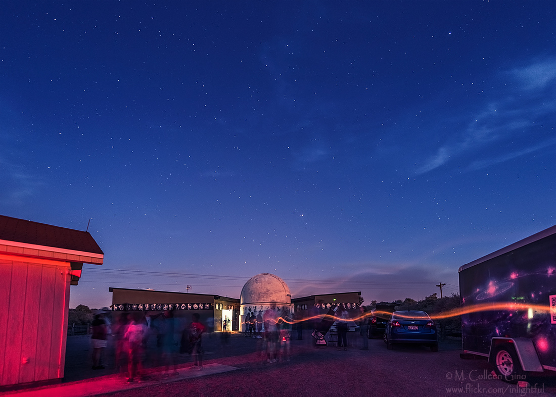
Etscorn Observatory
The view along I-25
The view along I-25
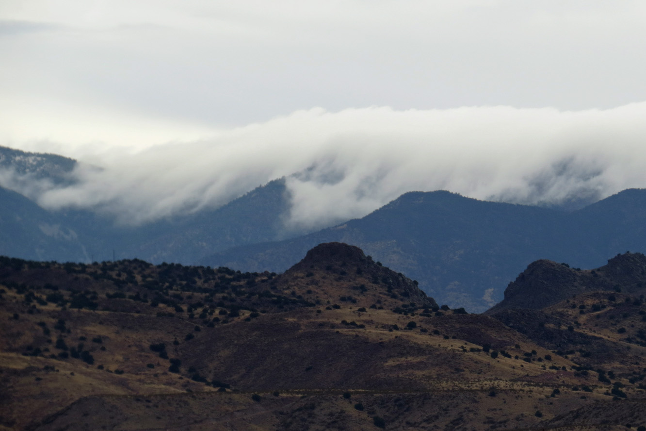
The view along I-25
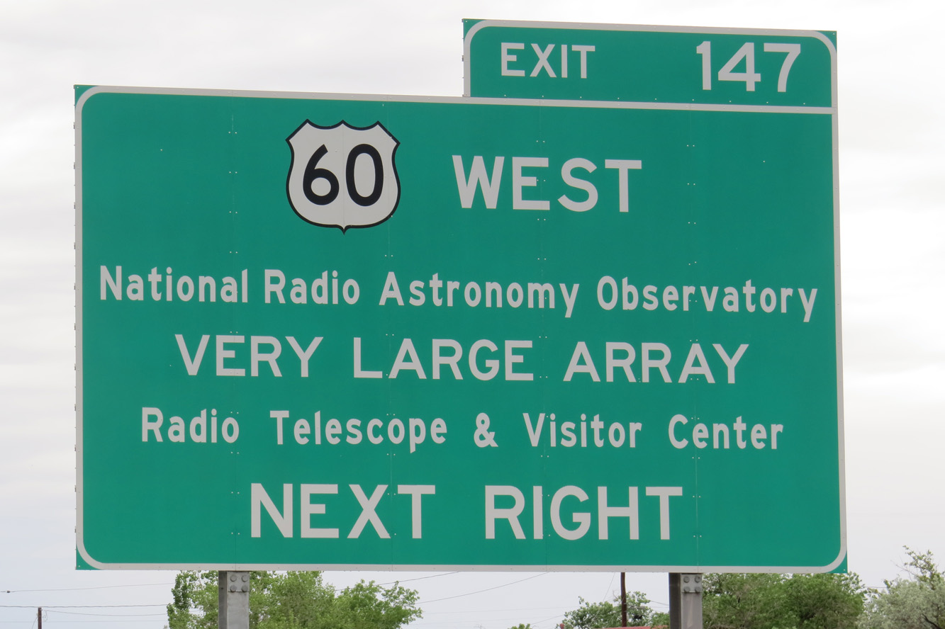
The Very Large Array!
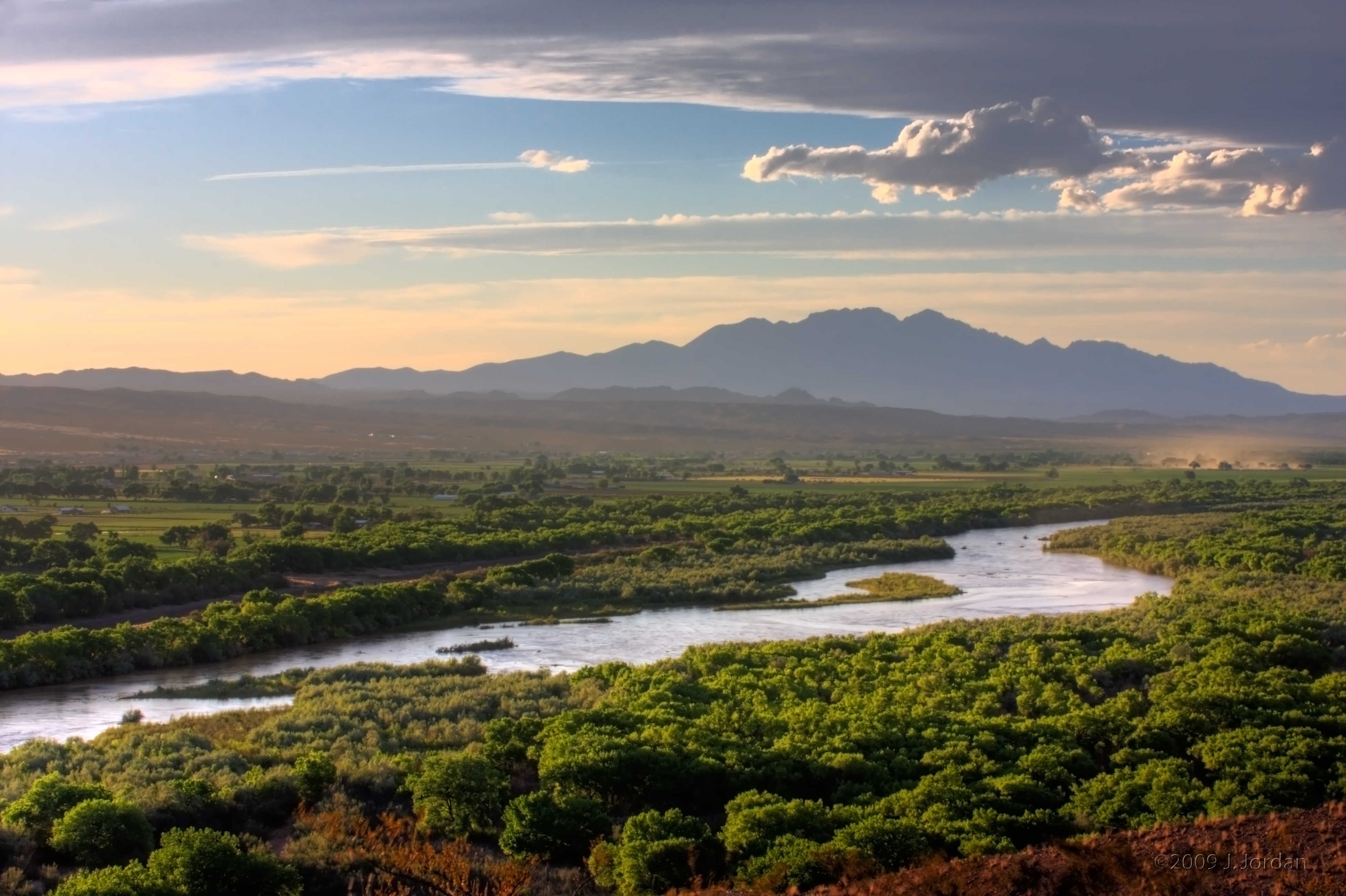
rio grande valley, upstream
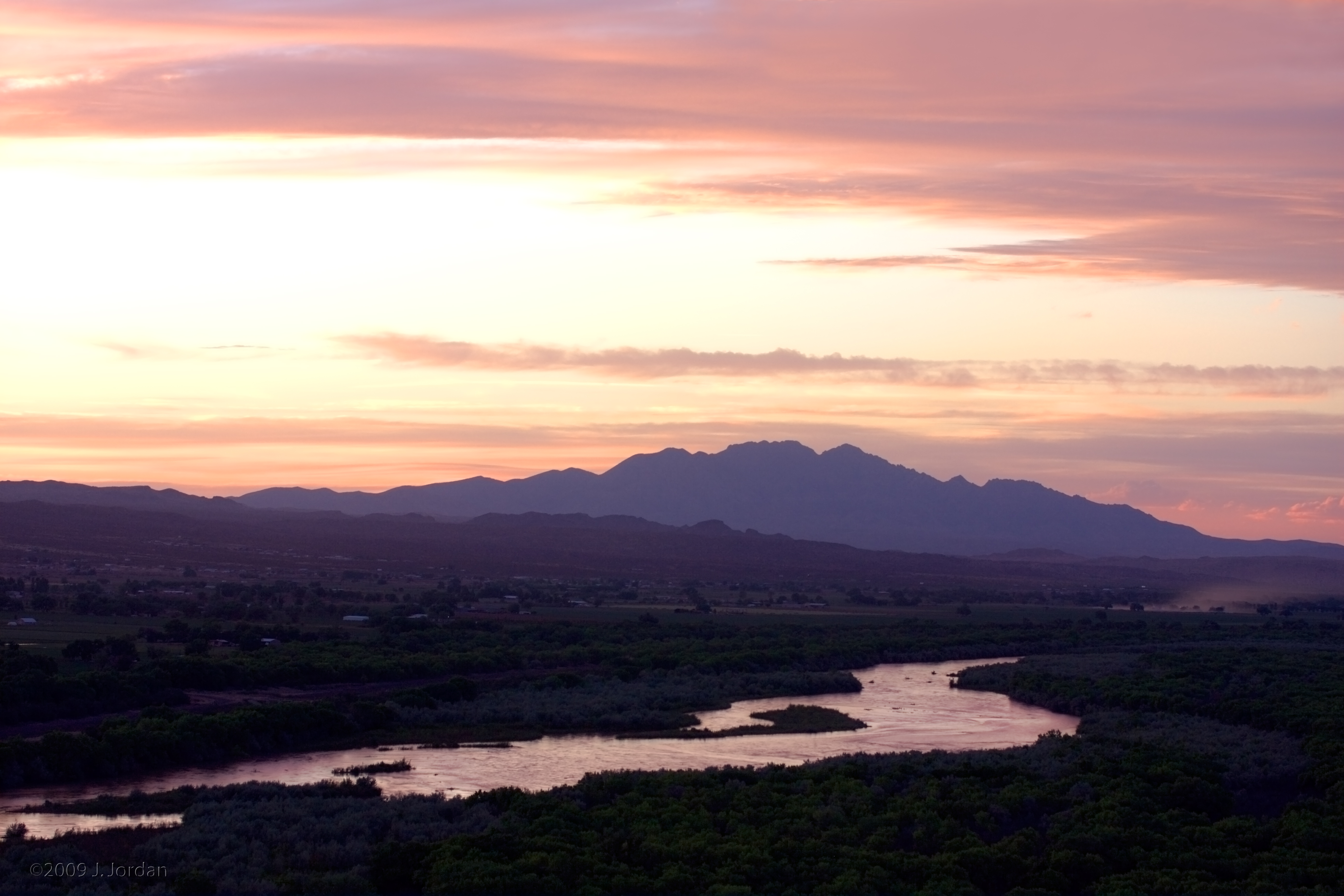
sunset in the central rio grande valley
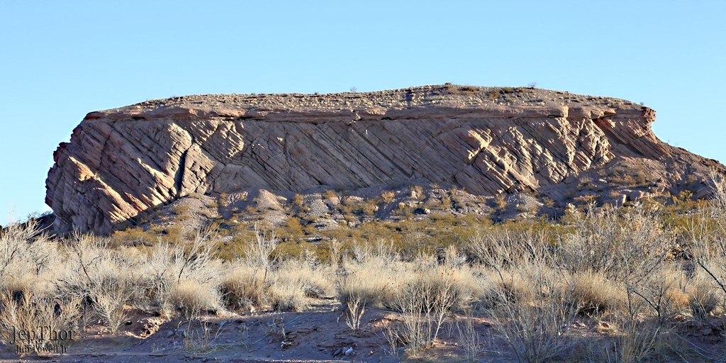
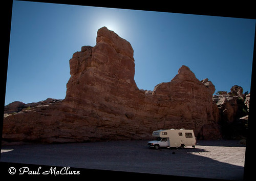
San Lorenzo Canyon
San Lorenzo Canyon
San Lorenzo Canyon

"Hi Mom!" from San Lorenzo Canyon
Socorro, Aug 4, 2008
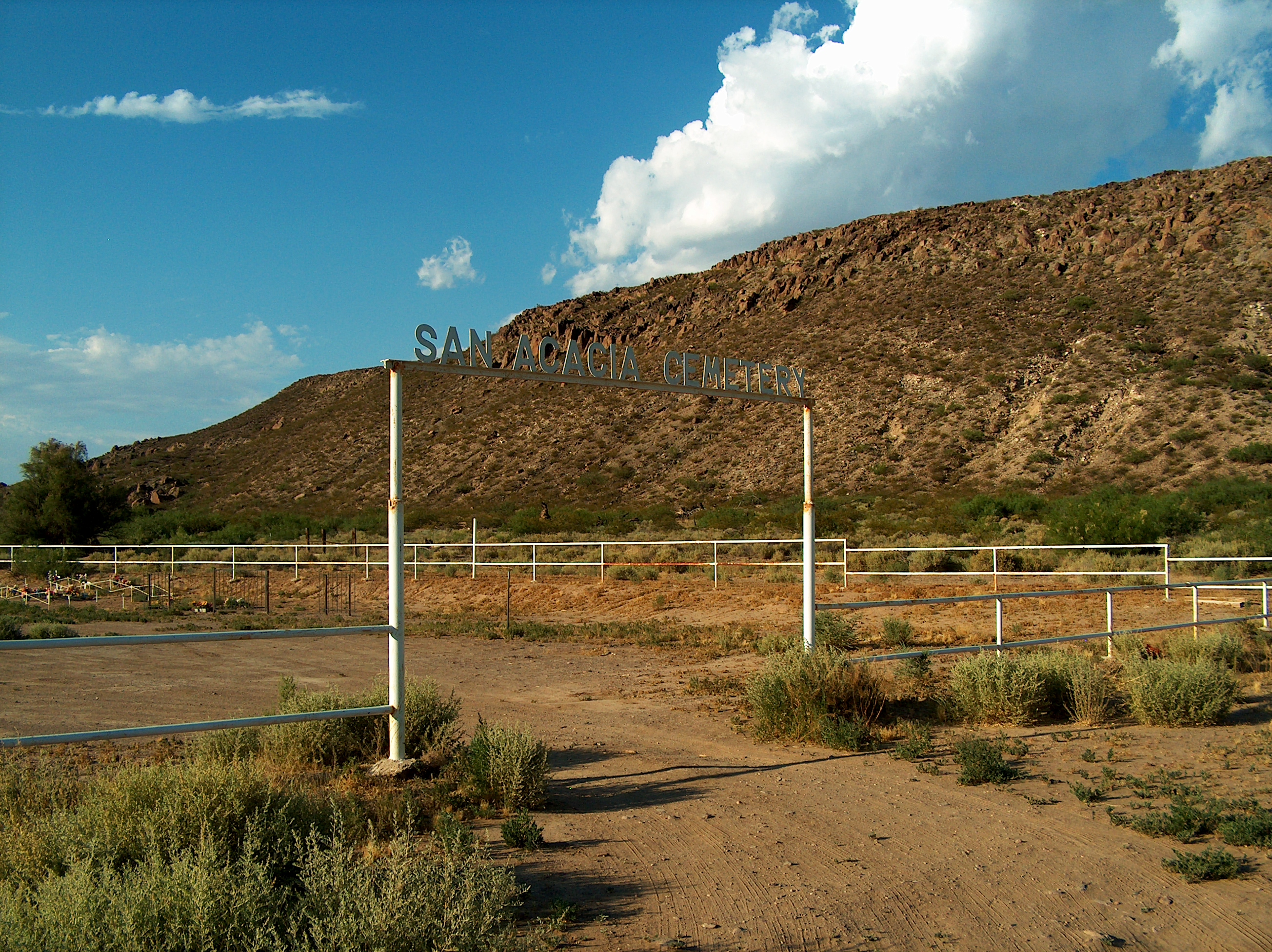
San Acacia
San Lorenzo Sunrise
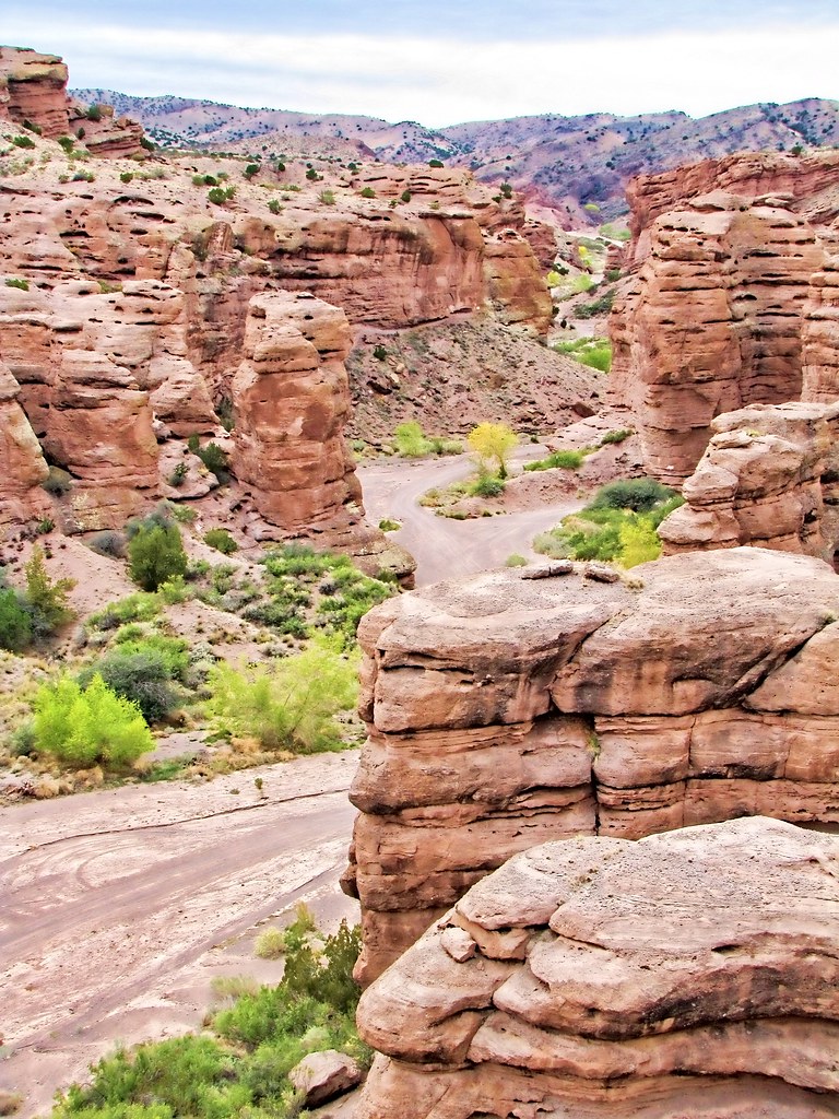
San Lorenzo Canyon
Aug 6, 2008

11-11-11
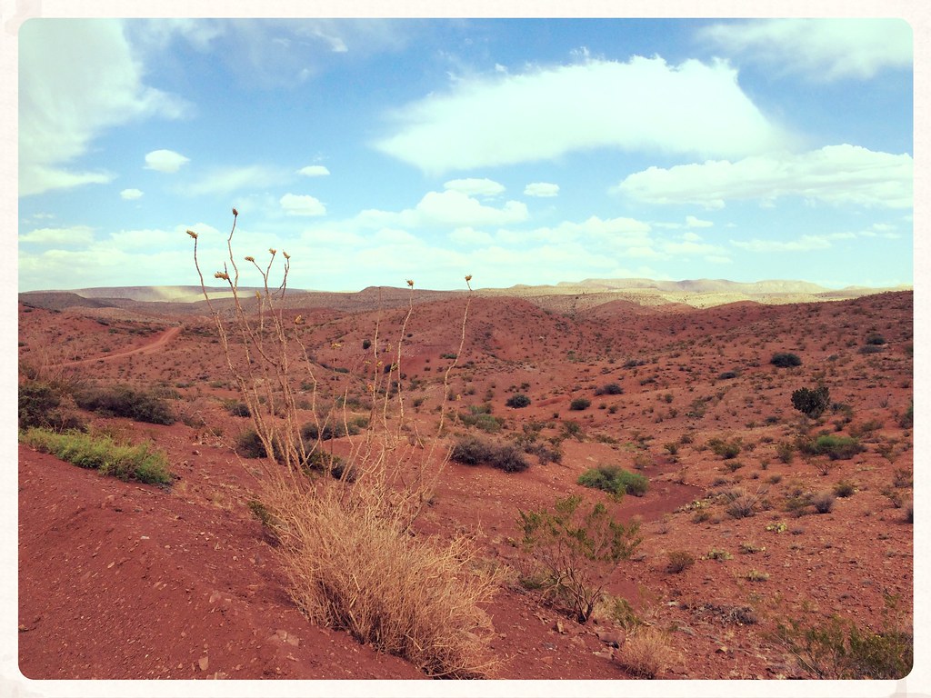
Ocotillo Chihuahuan Desert Quebradas Backcountry Byway New Mexico IMG_8758x
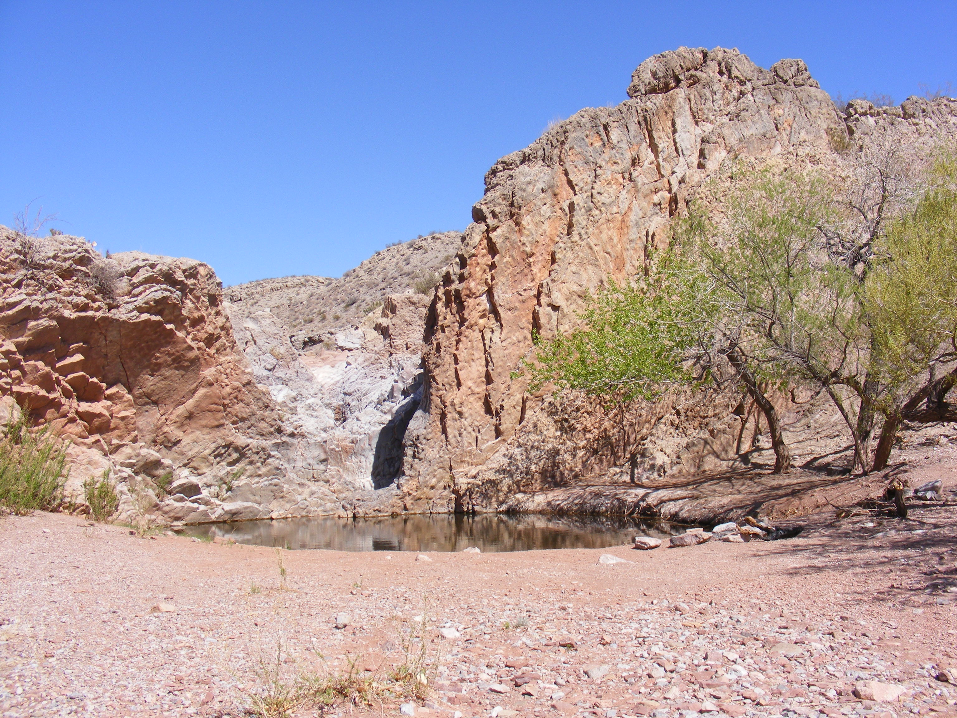
Ojo de Amado natural spring
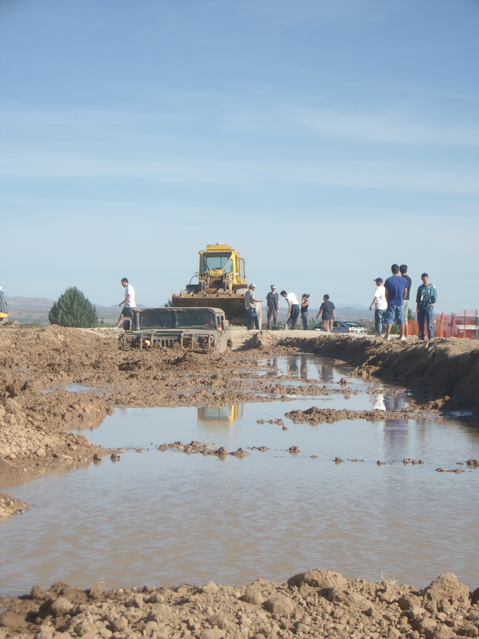
Retrieval from the pit
Topographic Map of NM-, Polvadera, NM, USA
Find elevation by address:

Places near NM-, Polvadera, NM, USA:
Polvadera
NM-, Polvadera, NM, USA
101 Nw Frontage Rd
Macedonio Rd, San Acacia, NM, USA
San Acacia
Lemitar
Escondida
122 Mustang Dr
Socorro
Water Canyon Campground
North Baldy
Buck Peak
Timber Peak
903 Elm St
Magdalena
South Baldy
New Mexico 107
Italian Peak
Bear Mountains Hp
12 Brahman Rd
Recent Searches:
- Elevation of Corso Fratelli Cairoli, 35, Macerata MC, Italy
- Elevation of Tallevast Rd, Sarasota, FL, USA
- Elevation of 4th St E, Sonoma, CA, USA
- Elevation of Black Hollow Rd, Pennsdale, PA, USA
- Elevation of Oakland Ave, Williamsport, PA, USA
- Elevation of Pedrógão Grande, Portugal
- Elevation of Klee Dr, Martinsburg, WV, USA
- Elevation of Via Roma, Pieranica CR, Italy
- Elevation of Tavkvetili Mountain, Georgia
- Elevation of Hartfords Bluff Cir, Mt Pleasant, SC, USA