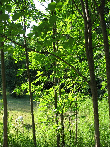
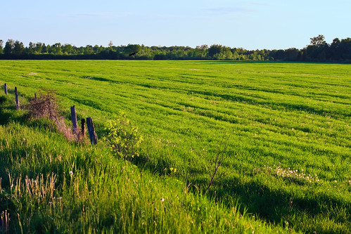
Elevation of North Augusta, ON K0G 1R0, Canada
Location: Canada > Ontario > Leeds And Grenville United Counties > Elizabethtown-kitley >
Longitude: -75.738901
Latitude: 44.761373
Elevation: 107m / 351feet
Barometric Pressure: 100KPa
Related Photos:
Topographic Map of North Augusta, ON K0G 1R0, Canada
Find elevation by address:

Places near North Augusta, ON K0G 1R0, Canada:
8827 County Rd 6
Land O' Nod Road
Land O' Nod Road
Land O' Nod Road
10212 Harvey Rd
Bains Rd, Brockville, ON K6V 5T5, Canada
4600 County Rd 15
4600 County Rd 15
County Rd 18, Oxford Station, ON K0G 1T0, Canada
Augusta
Merrickville-wolford
28 Main St, Oxford Station, ON K0G 1T0, Canada
Bishops Mills
26, Brockville, ON K6V 5T1, Canada
3813 County Rd 6
996 Weedmark Rd
1254 Stewart Blvd
Elizabethtown-kitley
3518 26
K0g 1n0
Recent Searches:
- Elevation of Corso Fratelli Cairoli, 35, Macerata MC, Italy
- Elevation of Tallevast Rd, Sarasota, FL, USA
- Elevation of 4th St E, Sonoma, CA, USA
- Elevation of Black Hollow Rd, Pennsdale, PA, USA
- Elevation of Oakland Ave, Williamsport, PA, USA
- Elevation of Pedrógão Grande, Portugal
- Elevation of Klee Dr, Martinsburg, WV, USA
- Elevation of Via Roma, Pieranica CR, Italy
- Elevation of Tavkvetili Mountain, Georgia
- Elevation of Hartfords Bluff Cir, Mt Pleasant, SC, USA
