Elevation of Augusta, ON, Canada
Location: Canada > Ontario > Leeds And Grenville United Counties >
Longitude: -75.642508
Latitude: 44.7295507
Elevation: 106m / 348feet
Barometric Pressure: 100KPa
Elevation Map:
Satellite Map:
Related Photos:
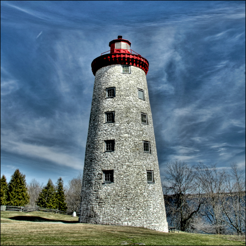
~ Battle of the Windmill ~

Blue Dasher - Spencerville

Blue Dasher
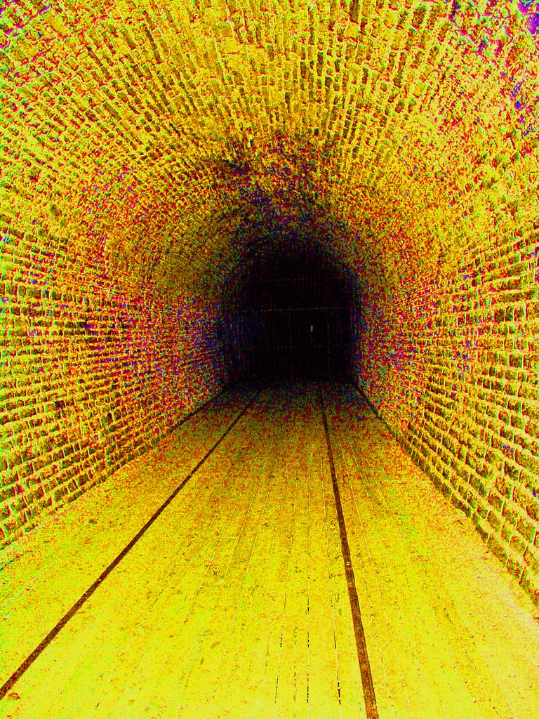
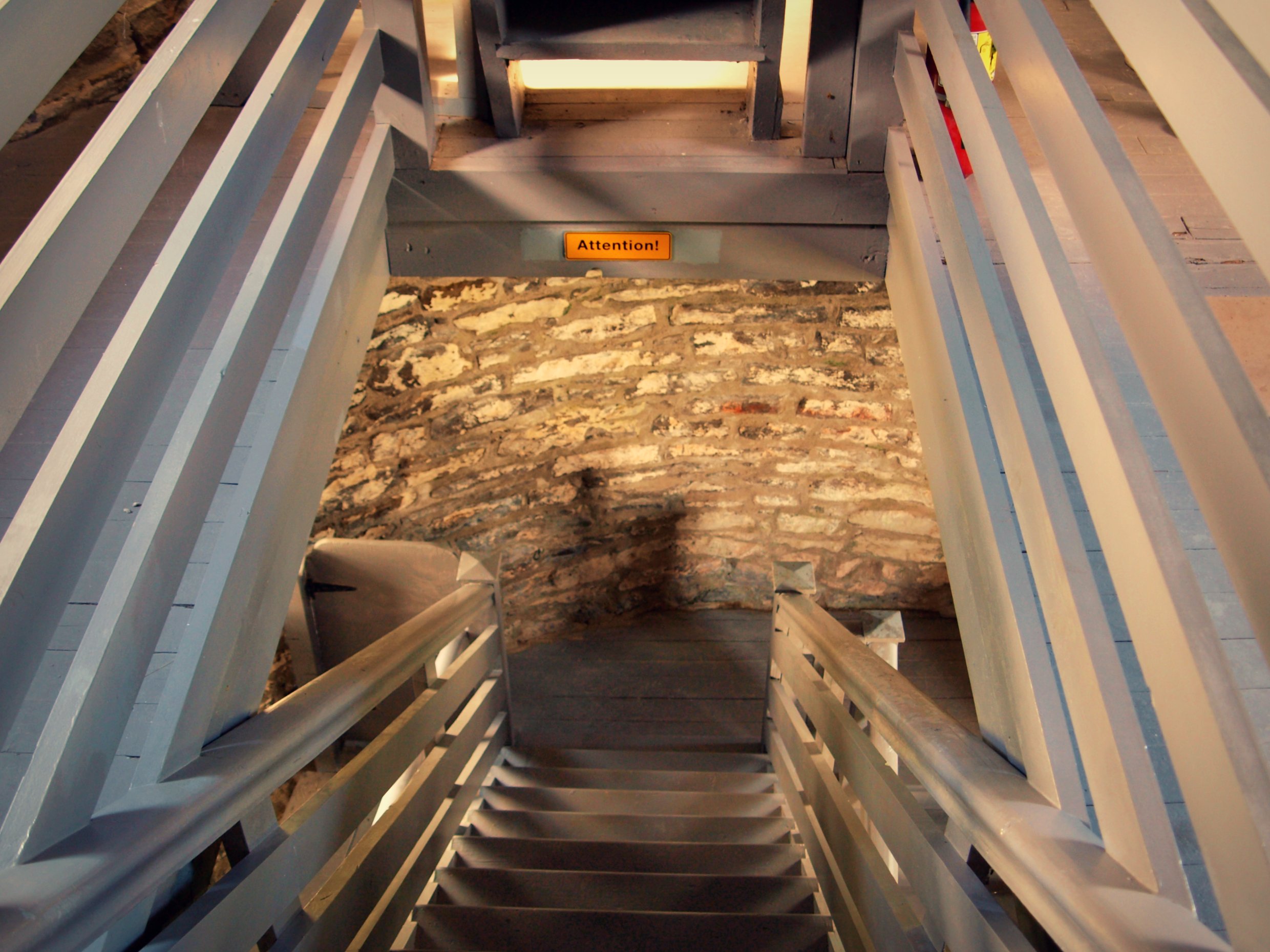
Tunnel Vision
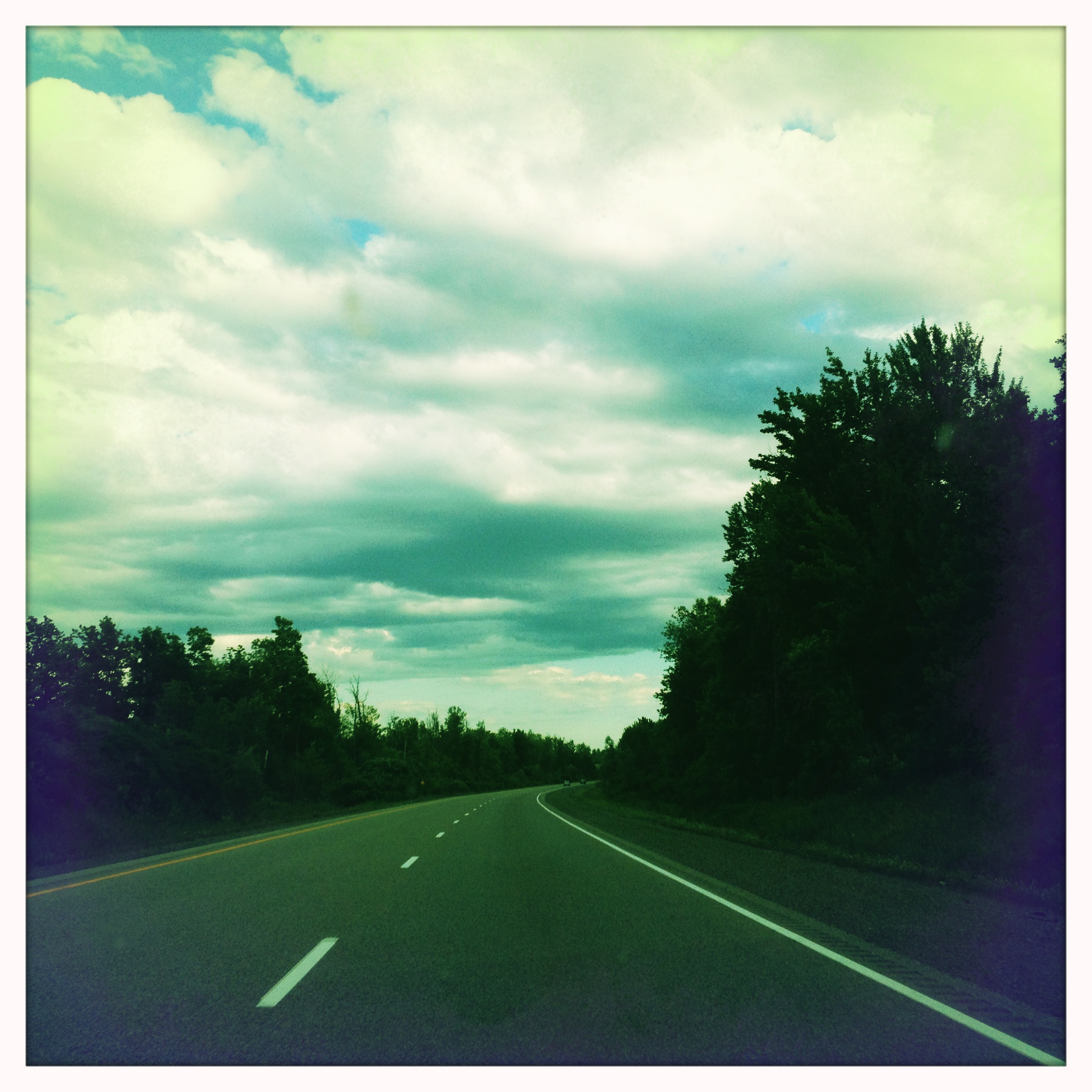
View through the windshield
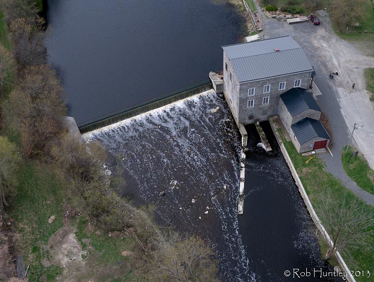
Aerial photograph. Spencerville Mill. A heritage gristmill on the South Nation River in Spencerville, Ontario. - Kite Aerial Photography (KAP)
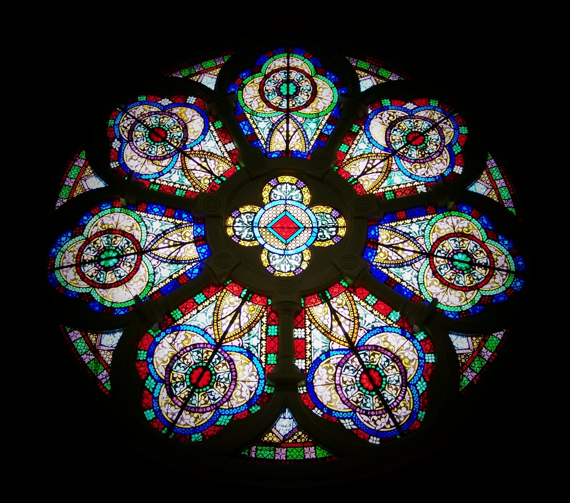
Rose window

Lights Out

Damselfly Spencerville
Lookin' Down Shore

Blue Dasher - Spencerville
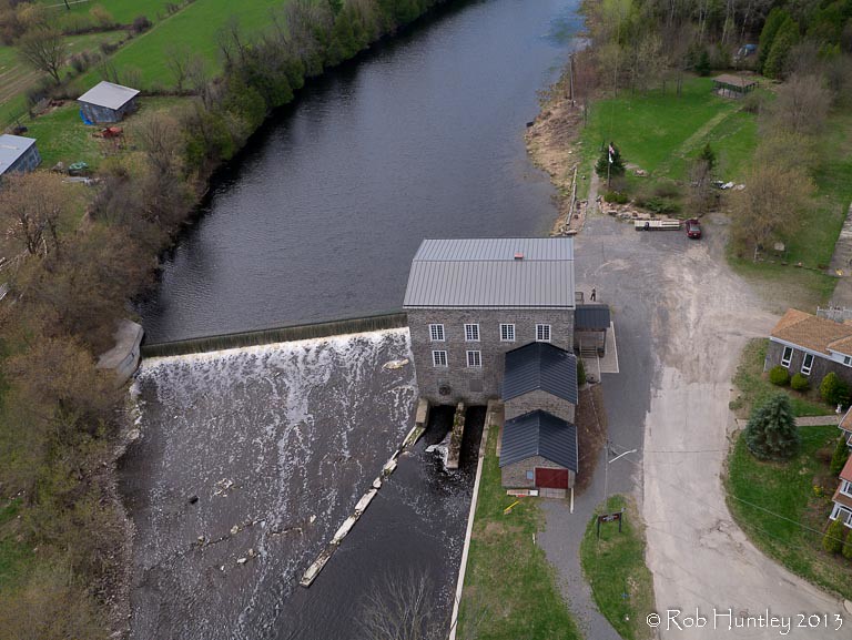
Aerial photograph. Spencerville Mill. A heritage gristmill on the South Nation River in Spencerville, Ontario. - Kite Aerial Photography (KAP)
Climbing to the Top
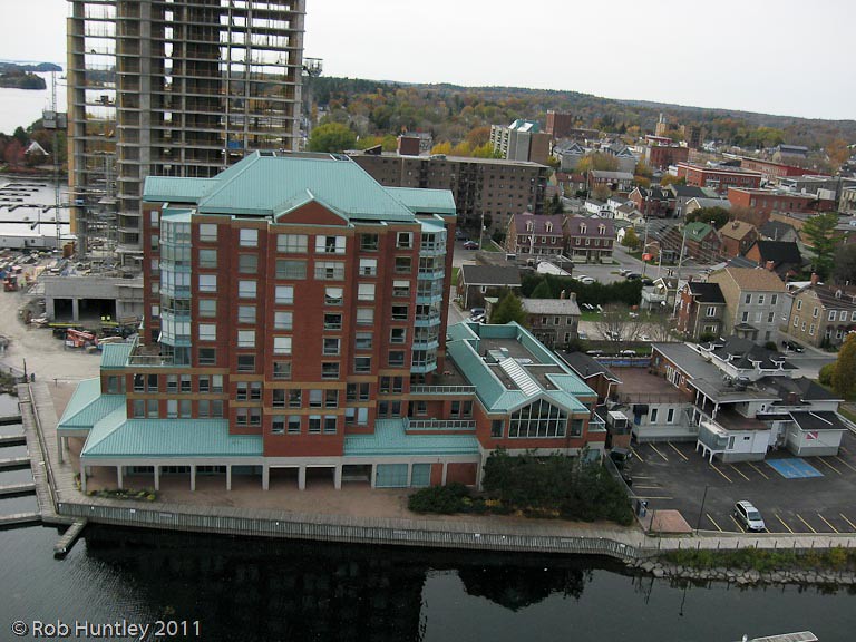
Aerial photograph - The Boardwalk condominium block , the being built Tall Ships Landing waterfront condominiums and the site of the future Maritime Discovery Centre. The Marina at Blockhouse Island, Brockville, Ontario - Kite Aerial Photography (KAP)

Aerial photograph straight down abstract view of the entrance roadway on Blockhouse Island, Brockville, Ontario - Kite Aerial Photography (KAP)

Lunch Time for Common Pondhawk
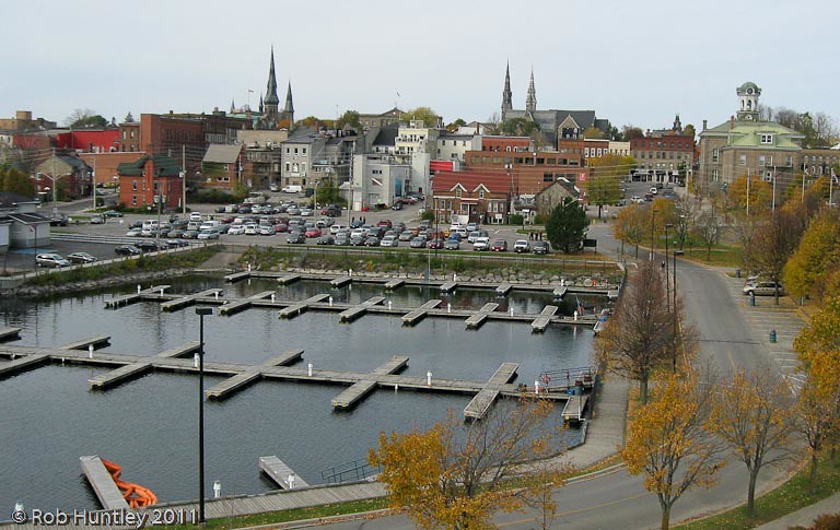
Aerial photograph - Marina at Blockhouse Island, Brockville, Ontario - Kite Aerial Photography (KAP)
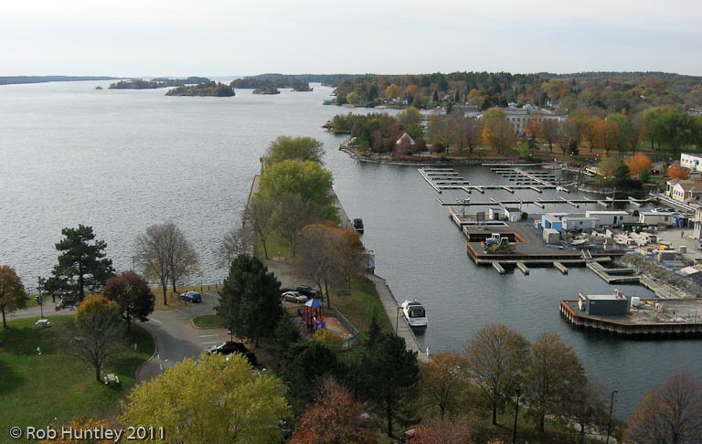
Aerial photograph - Saint Lawrence River and the beginning of the Thousand Islands at Blockhouse Island, Brockville, Ontario - Kite Aerial Photography (KAP)
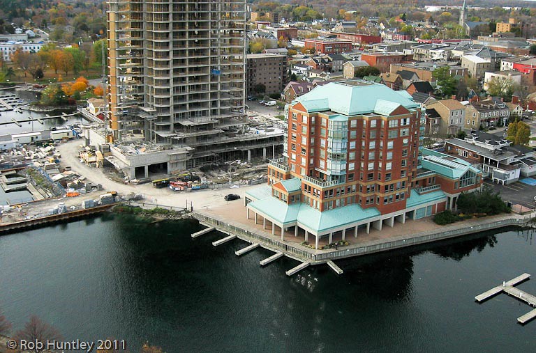
Aerial photograph - The Boardwalk condominium block , the being built Tall Ships Landing waterfront condominiums and the site of the future Maritime Discovery Centre. The Marina at Blockhouse Island, Brockville, Ontario - Kite Aerial Photography (KAP)
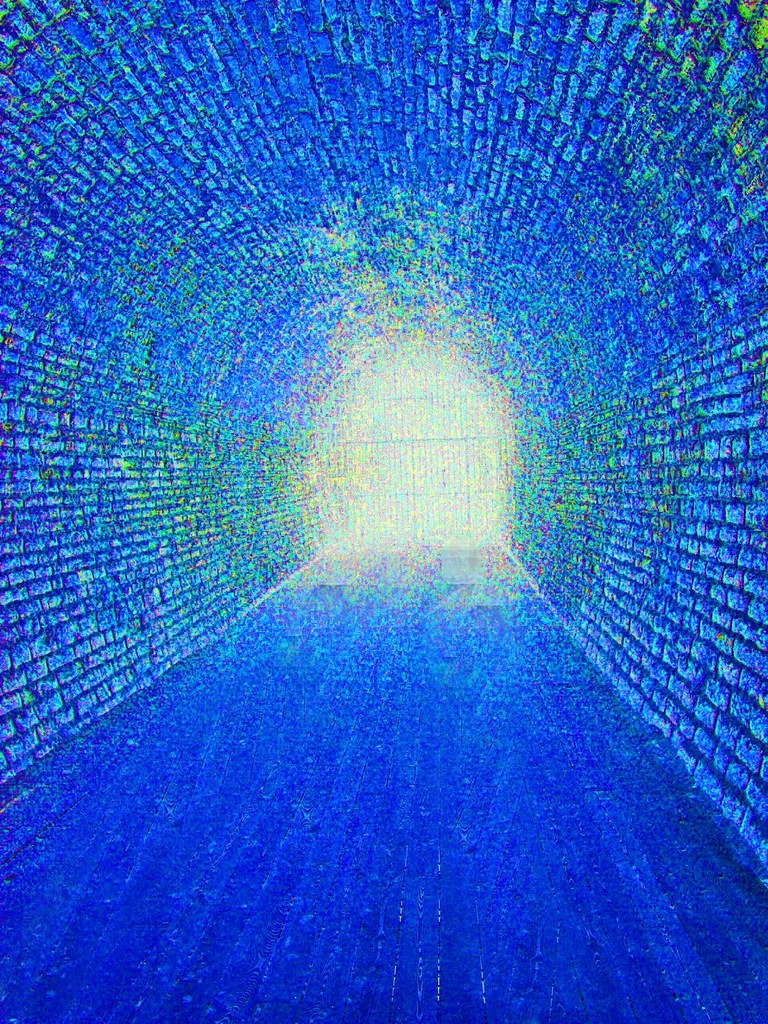
Tunnel Vision
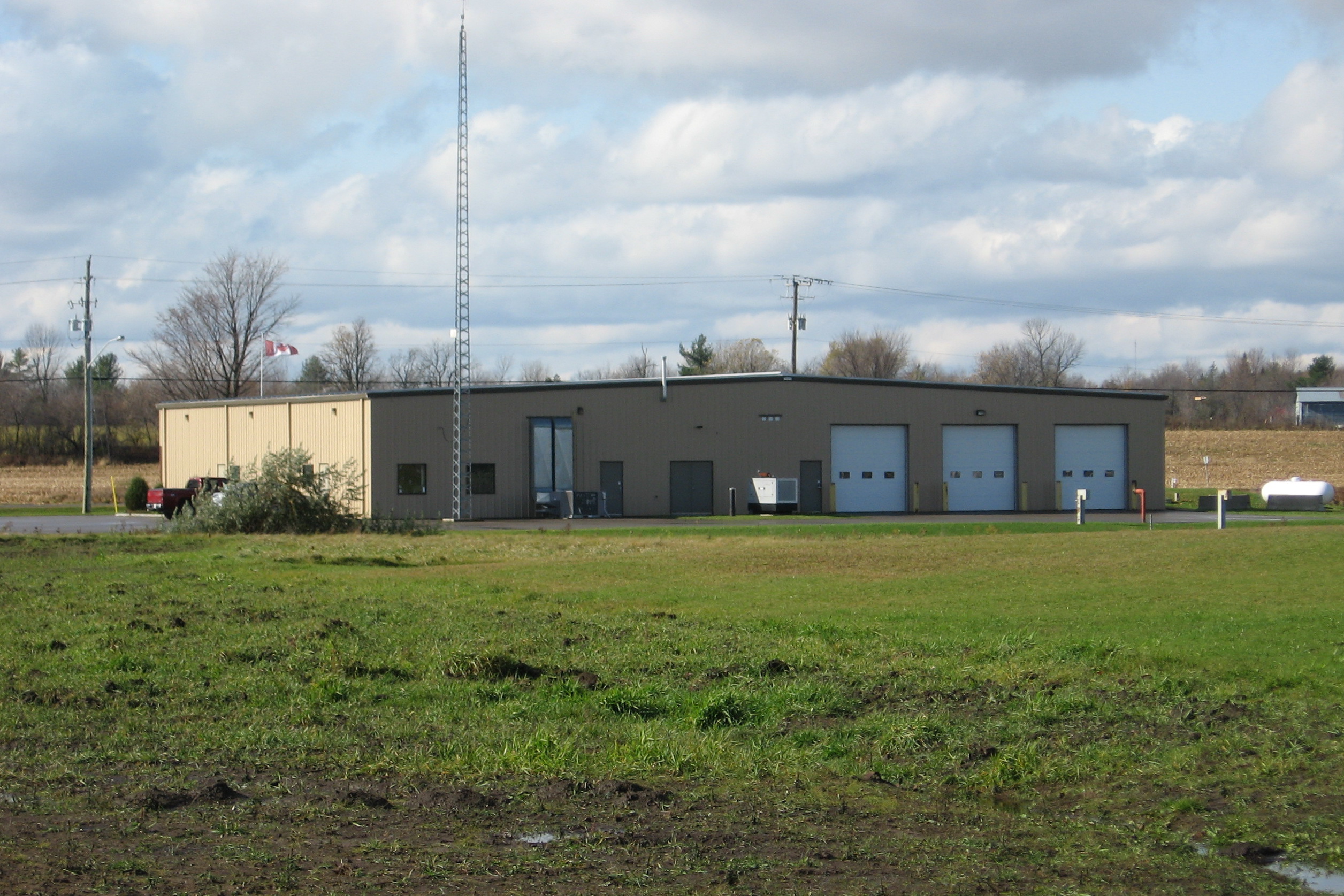
Edwardsburg Cardinal Fire Station 1 rear view Spencerville, Ontario Canada 10272008 ©Ian A. McCord

Sunrise. Prescott ON
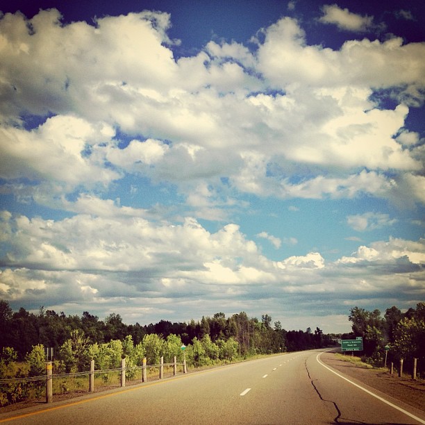
Bright blue sky...cotton white clouds...back #ontheroad on a beautiful overcast skies
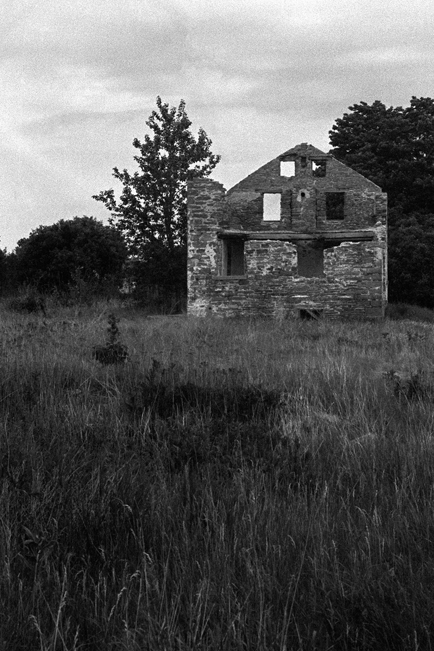
Stone House Ruins
365: Day 204
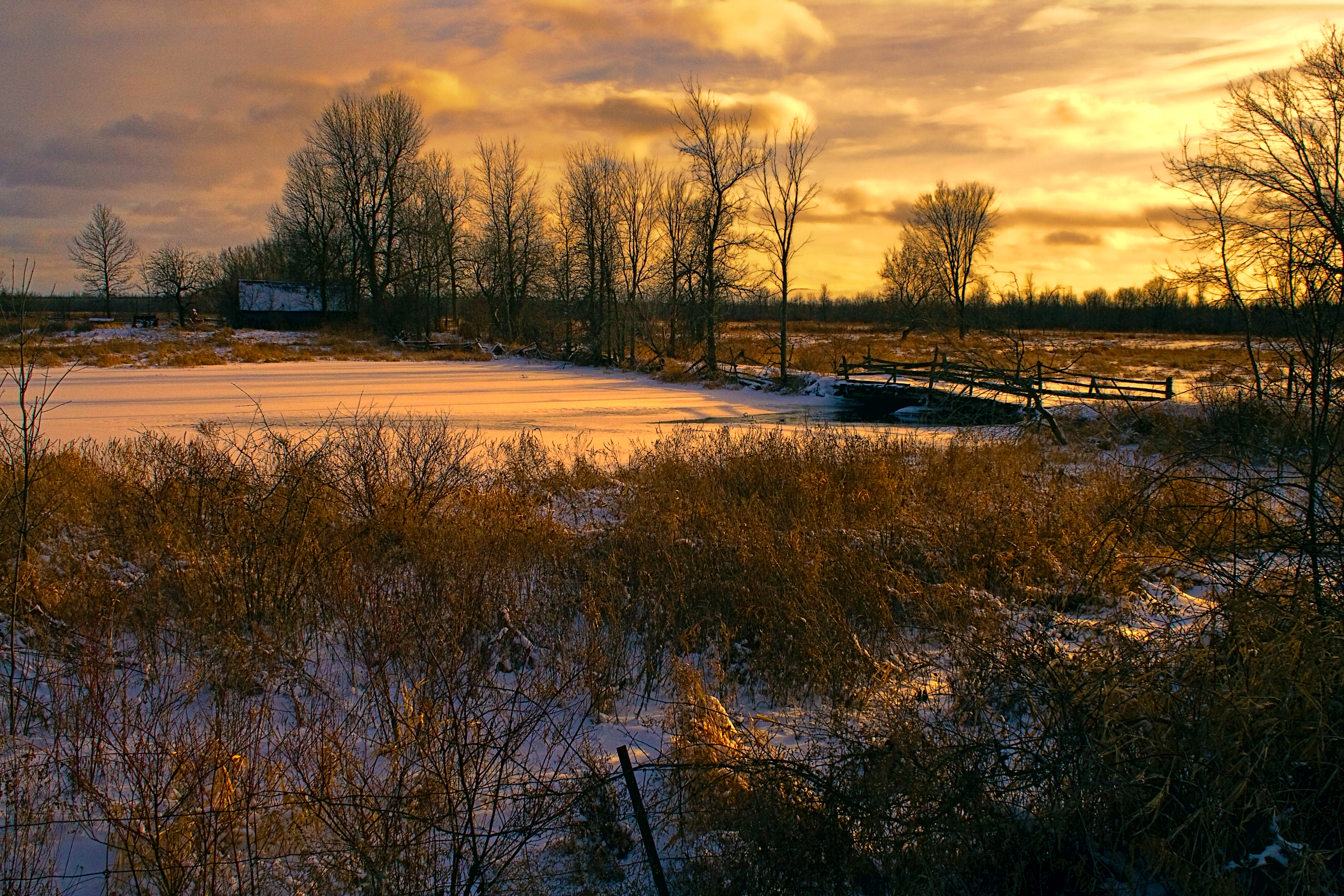
Sunset on the Branch Rd.
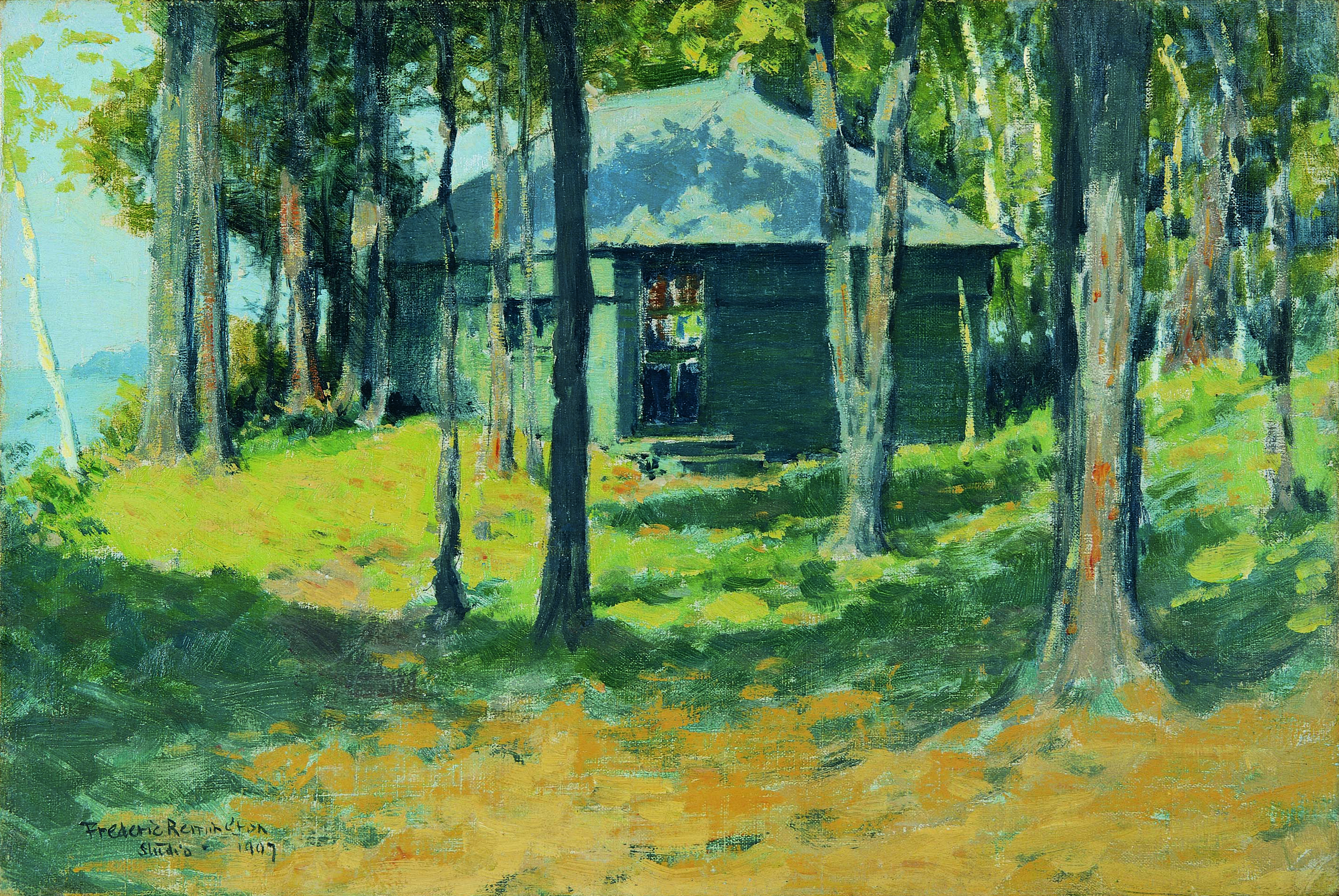
Remington's Studio at Ingleneuk
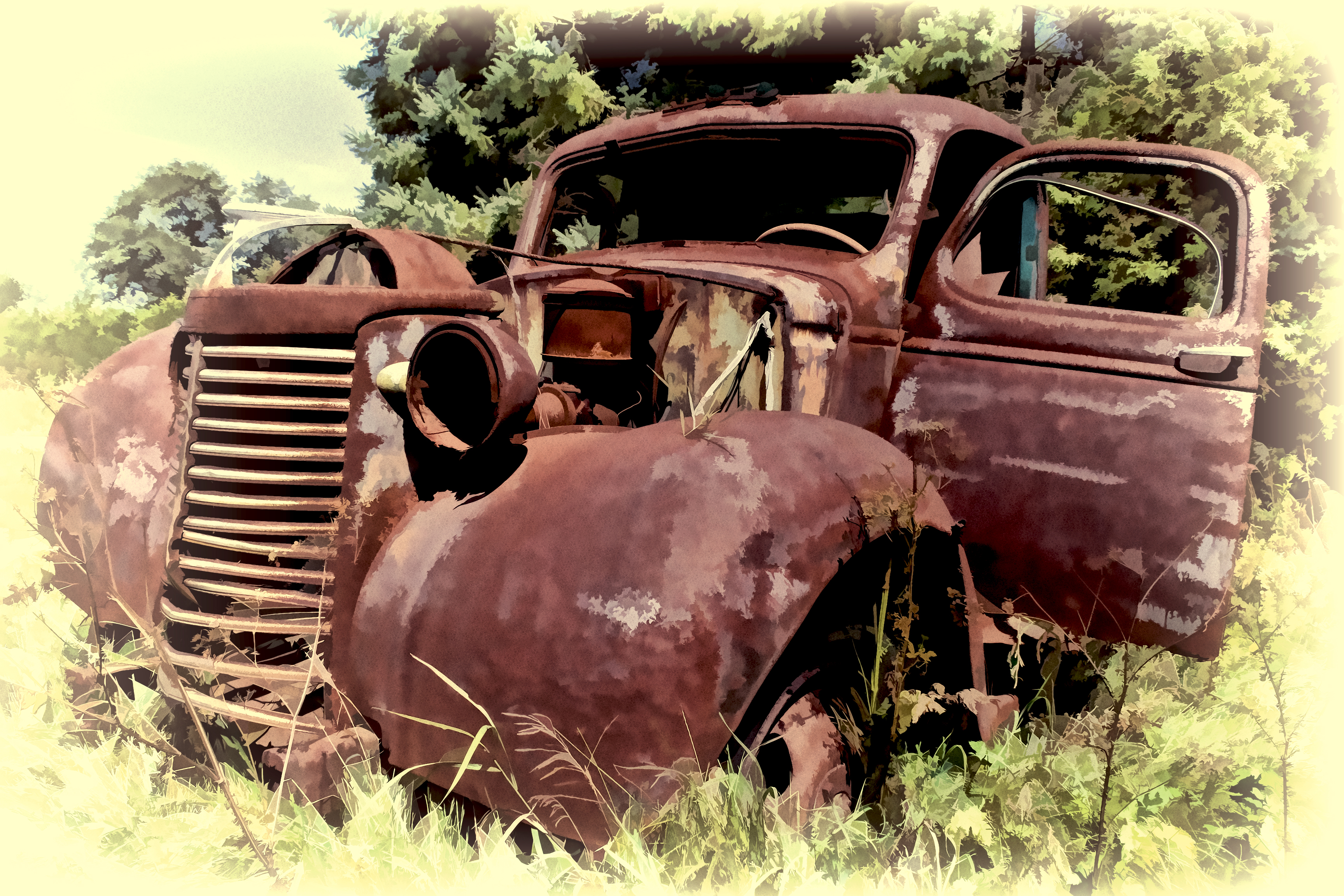
Old Chevy Pickup

Country Lane
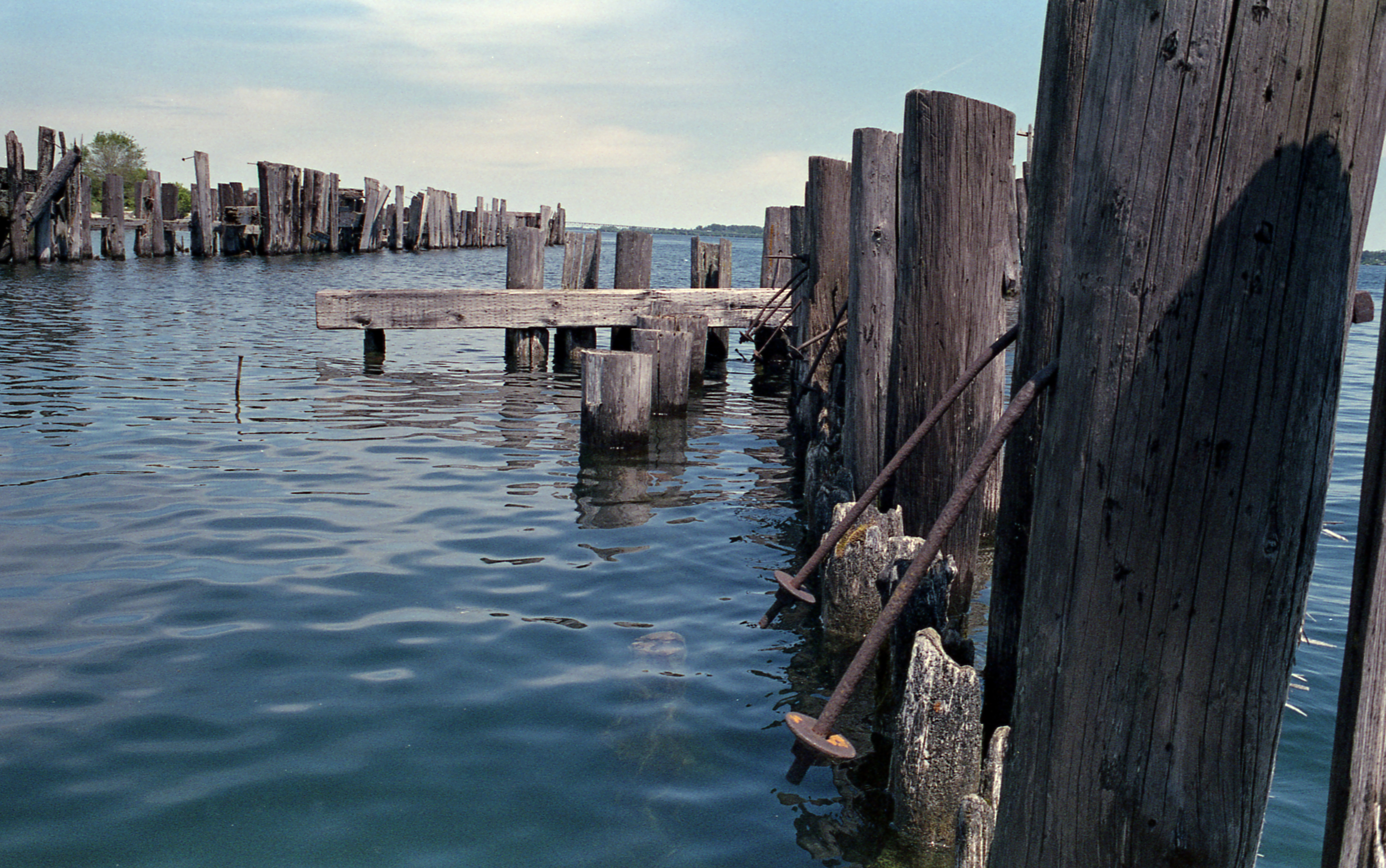
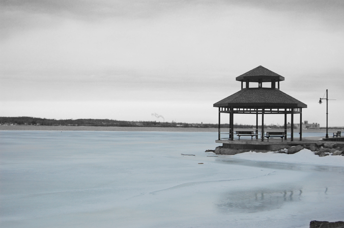
Old Pier

Pine Perspective
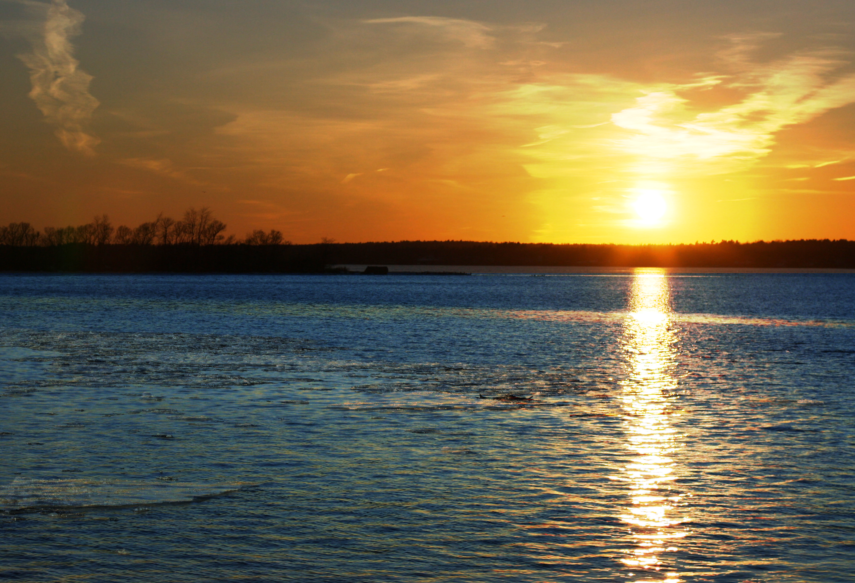
Sunset on St. Lawrence

Twilight in Brockville
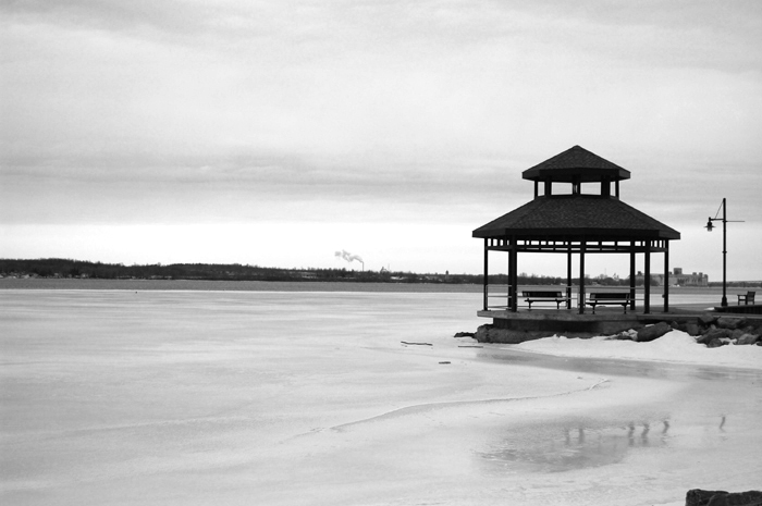
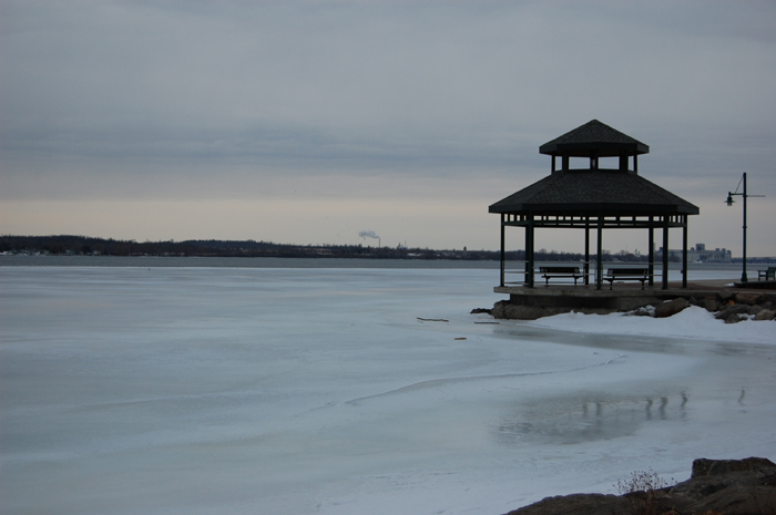
iced over

Street Scene Prescott
a bit closer
black and blue

St. Lawrence River
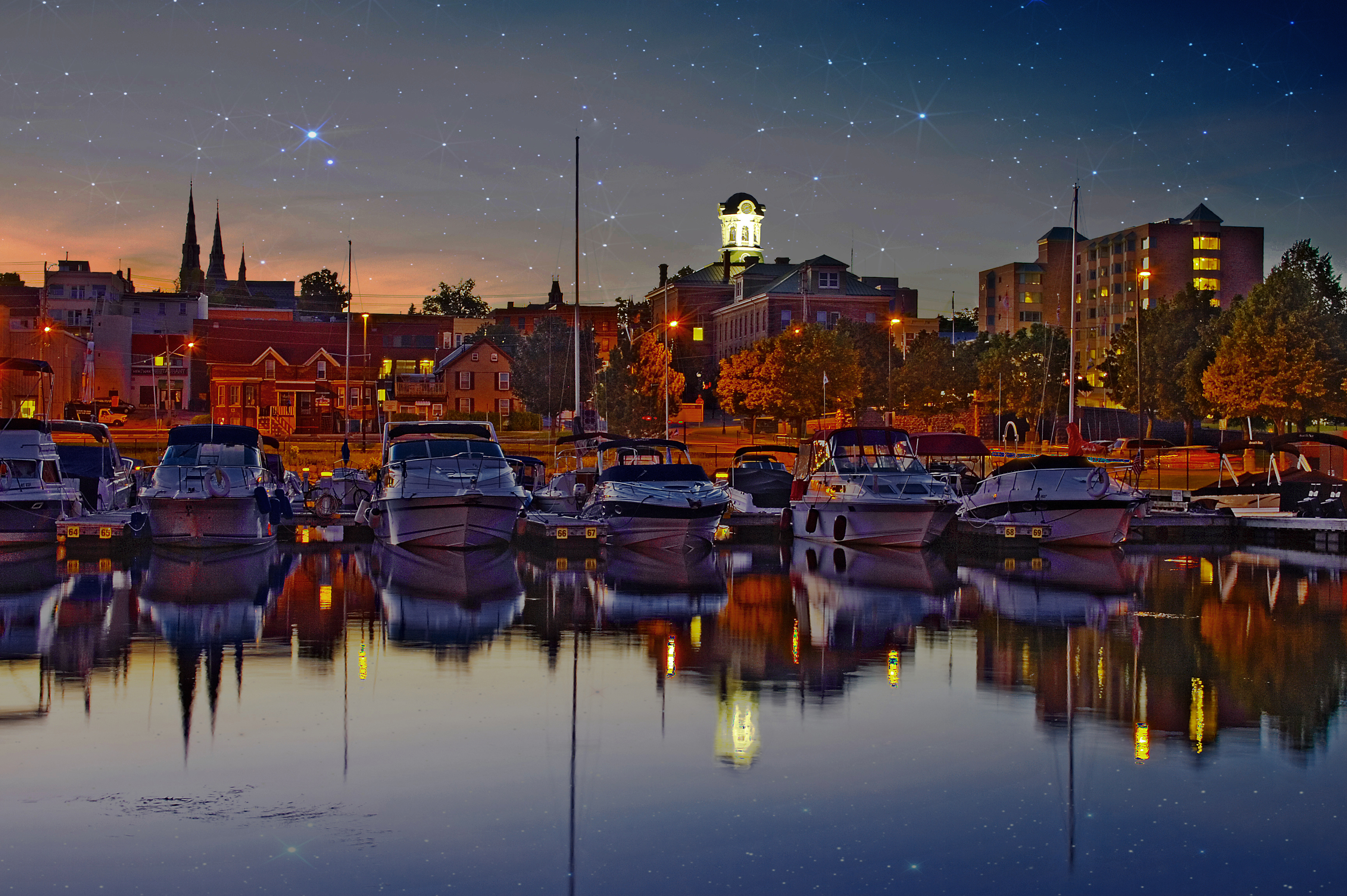
Twilight in Brockville
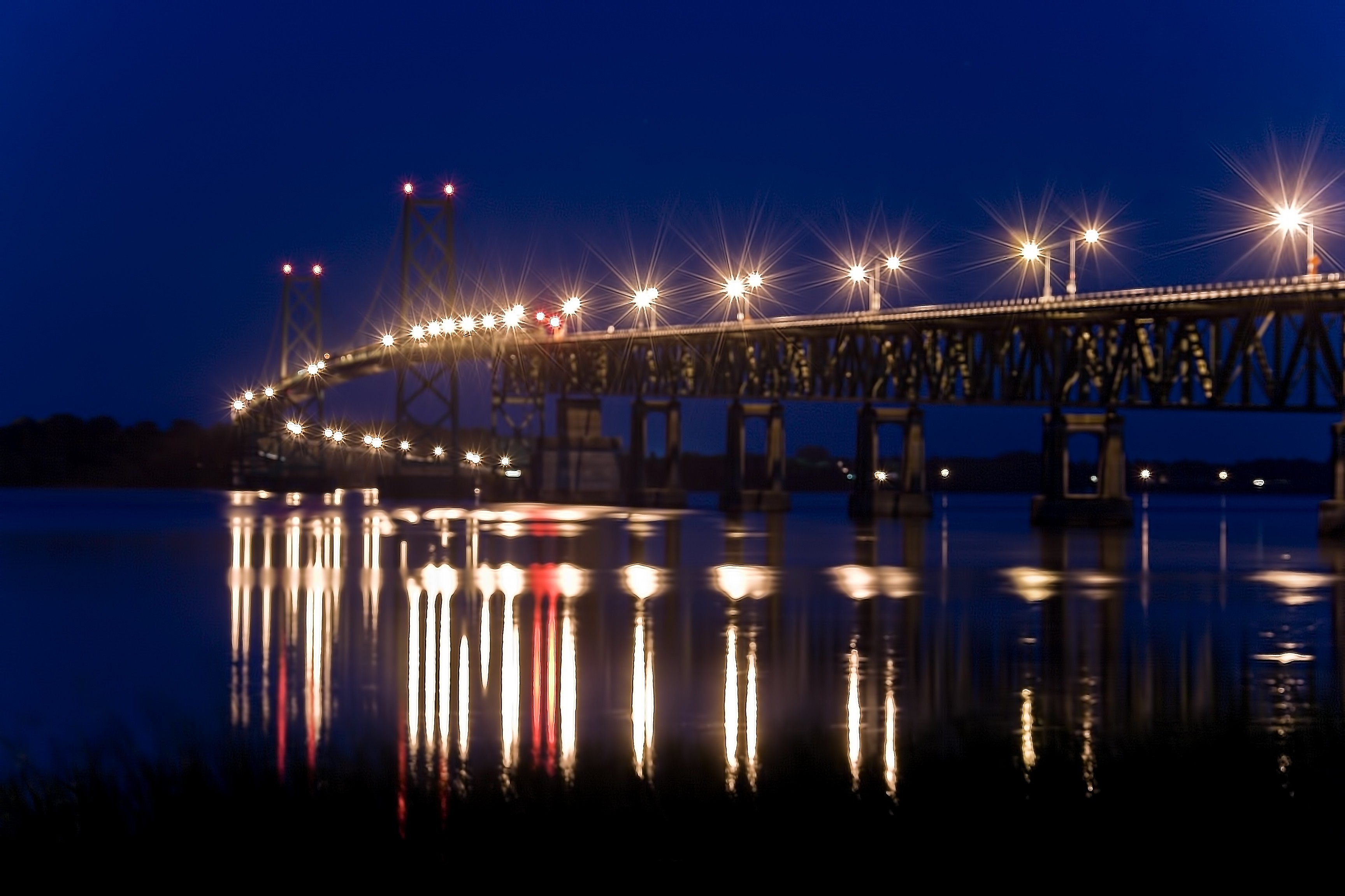
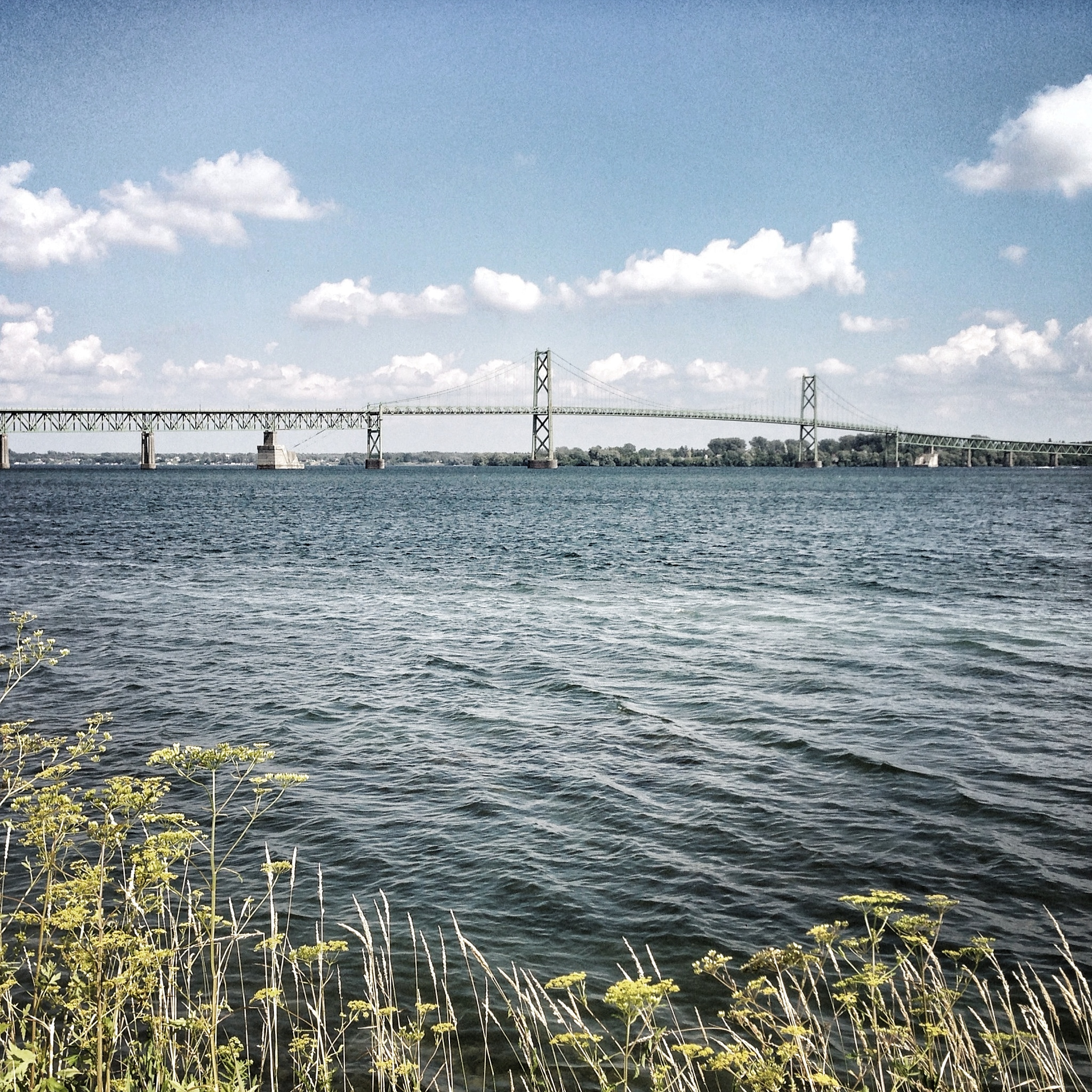
Prescott-Ogdensburgh International Bridge

Old Pier

Day 4: Dusk descends on Day 4
Topographic Map of Augusta, ON, Canada
Find elevation by address:

Places in Augusta, ON, Canada:
Places near Augusta, ON, Canada:
4600 County Rd 15
4600 County Rd 15
3518 26
26, Brockville, ON K6V 5T1, Canada
Bains Rd, Brockville, ON K6V 5T5, Canada
2824 Merwin Ln
1301 Brockchem Rd
1301 Brockchem Rd
North Augusta
County Rd 18, Oxford Station, ON K0G 1T0, Canada
3813 County Rd 6
2900 County Rd 18
County Road 18
County Road 18
County Road 18
County Road 18
2757 Edward St N
8827 County Rd 6
Prescott
10212 Harvey Rd
Recent Searches:
- Elevation of Corso Fratelli Cairoli, 35, Macerata MC, Italy
- Elevation of Tallevast Rd, Sarasota, FL, USA
- Elevation of 4th St E, Sonoma, CA, USA
- Elevation of Black Hollow Rd, Pennsdale, PA, USA
- Elevation of Oakland Ave, Williamsport, PA, USA
- Elevation of Pedrógão Grande, Portugal
- Elevation of Klee Dr, Martinsburg, WV, USA
- Elevation of Via Roma, Pieranica CR, Italy
- Elevation of Tavkvetili Mountain, Georgia
- Elevation of Hartfords Bluff Cir, Mt Pleasant, SC, USA