Elevation of Norse Dr, Pleasant Hill, CA, USA

Location: United States > California > Contra Costa County > Pleasant Hill >

Longitude: -122.07544

Latitude: 37.9670392

Elevation: 30m / 98feet

Barometric Pressure: 101KPa

Elevation Map:

elevation map of Norse Dr, Pleasant Hill, CA, USA

Satellite Map:

Satellite map of Norse Dr, Pleasant Hill, CA, USA
Related Photos:

afrostymorning frostcrystalsonleaves frost cotoneasterleaves
A frosty morning
california longexposure sunset mountain tree nature clouds landscape mt alpenglow mountdiablo
Mt. Diablo Sunset
life california blue wild lake macro reflection nature water animal closeup fauna bug insect fly flying inflight amazing pond nikon bravo zoom action dragonfly ripple wildlife flight soe odonata d40 magicdonkey golddragon abigfave shieldofexcellence goldmedalwinner anawesomeshot aplusphoto superbmasterpiece megashot 55200mmvr amazingamateur excellentphotographerawards naturewatcher natureoutpost amazingexcellence
The Art Of A Dragonfly
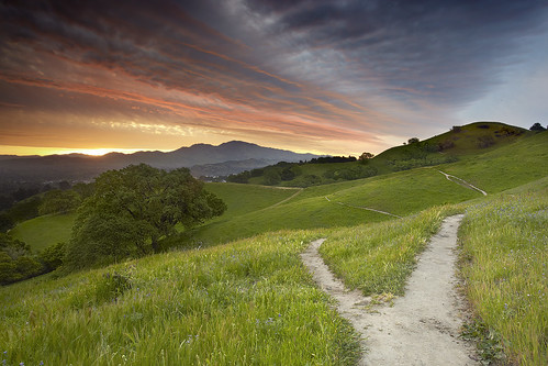
california travel wallpaper sky usa cloud nature grass self sunrise canon landscape interestingness oak lafayette path hill dirt bayarea 5d canon5d eastbay diablo walnutcreek mtdiablo concord oaktree pleasanthill mkii srf goldenstate 1740l baytree contracosta realization intestingness contracostacounty 5dmkii
Fork In The Road - Walnut Creek, California
55mm micro flower 100views platinumheartaward anuniverseofflowers f
Flowers on a Bush
flowers trees field yellow spring oak alhambra bayarea mustard wildflowers martinez 2015 marvinsoriano
Spring View
morning blue orange sun sunlight tree silhouette oak day branches clear bayarea walnutcreek mtdiablo pleasanthill contracosta giantoak
Dinosaur Hill Park II
sanfrancisco california travel sunset sky panorama cloud costa mountain snow storm fall nature colors landscape lafayette clayton pano danville valley freeway bayarea diablo walnutcreek concord alamo antioch contra pleasanthill 680 dinosaurhill
Snows of Diablo - Pleasant Hill, California
california sky tree canon landscape oak lafayette cumulus 5d diablo walnutcreek pleasanthill mkii 5dmkii contraconsta
Diablo Spring #1 - Lafayette, California
light kyle table soup chairs murder 365 jacktheripper strobist
188/365 - Soup
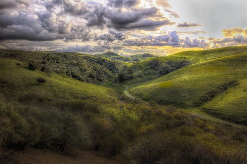
california sunset sky panorama cloud mountain storm fall nature colors landscape lafayette valley freeway diablo walnutcreek concord alamo pleasanthill 680 dinosaurhill
Diablo Valley View #1 - Pleasant Hill, California
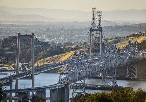
color may 2018 boury pbo31 nikon d810 bayarea california over view contracostacounty bridge crockette park sunset water carquinezstrait vallejo
over the carquinez bridge
california road moon yellow golden harvest pass fullmoon hills moonrise bailey bayarea moonlight eastbay bluehour concord martinez pleasanthill 400mm contracosta kirker 2013 56l claycord msoriano msorianophotography
Harvest Moon
flower macro yellow closeup droplets bokeh daisy canon100mmf28macro delicate johnmorgan
Freshly Watered
old car classiccar day cloudy restore studebaker 1955commander
1955 Studebaker Commander - Rear View
Landscape view through the reeds at Grangers Wharf
sunrise water cove
Morning View
square squareformat iphoneography instagramapp xproii uploaded:by=instagram foursquare:venue=8322238
Today's "View From Work"
california sunset danville mountdiablo johnk mountdiablostatepark d5000 alemdagqualityonlyclub johnkrzesinski randomok
Sunset from Mount Diablo
Storm Clouds over Mt. Diablo at Sunset
california christmas white flower macro fleur closeup canon lights blossom bokeh 100mm bloom alamo aster christmastreelights johnmorgan
Asters in the Lights
landscape 7dwf alamo
...golden hills of California
2011 feb crockett landscape clouds gdgexcellence dlexc ffp road path
Contra Costa hills
Beautiful Hills & Trees
sunset sky tree clouds landscape oak hdr mountwanda cityofmartinez
Mt Wanda Sky
photo.JPG
sunset landscape smartphone galaxys8
Another Countrywood Sunset
Mindless Self Indulgence
sunset clouds trees omd landscape
Another Countrywood Sunset
sunset clouds cityofmartinez timestack
Martinez Cloud Stack
california green rain path hills cumulus bayarea eastbay walnutcreek mtdiablo wispy darkclouds stratus rainclouds hikingtrail greengrass contracosta ridgetop beaconridge tagakodak spring2014 msorianophotography marvinsoriano
Rain, Rain, Come Again
amtrak amtk sanjoaquinvalley sanjoaquin southernpacific sp capitolcorridor california northerncalifornia ge generalelectric p32 passengertrain railroads trains
Valley Flyer Eastbound
DSC_6218 copy
fog foggy shellridgeopenspace niebla tryingoutmynewlens
Foggy rock
mtdiablostatepark clayton california unitedstates us
Mountain partially skinned (Mt Zion mine)
photo.JPG
sanfrancisco foothills castle rock eastbay diablo mtdiablo
Castle Rocks - Diablo Foothills
bird vulture soaring sunset hills trees landscape olympus omd omdem5markii olympus1240mmf28pro
Diablo Foothills Golden Hour
square lofi squareformat iphoneography instagramapp uploaded:by=instagram foursquare:venue=4b9aaf5df964a520cfcc35e3
Nature with a nice trail n a twist of instragram!
california evening spring nikon alamo d800 2014 1635mm stonevalleyroad
Flower valley
sunset clouds landscape magiclantern cityofmartinez timestack
Martinez Sunset with Clouds