Elevation of No. 72, Chenggong Rd, Fangliao Township, Pingtung County, Taiwan
Location: Taiwan > Pingtung County > Fangliao Township > 地利村 >
Longitude: 120.5960742
Latitude: 22.3878776
Elevation: 16m / 52feet
Barometric Pressure: 0KPa
Related Photos:

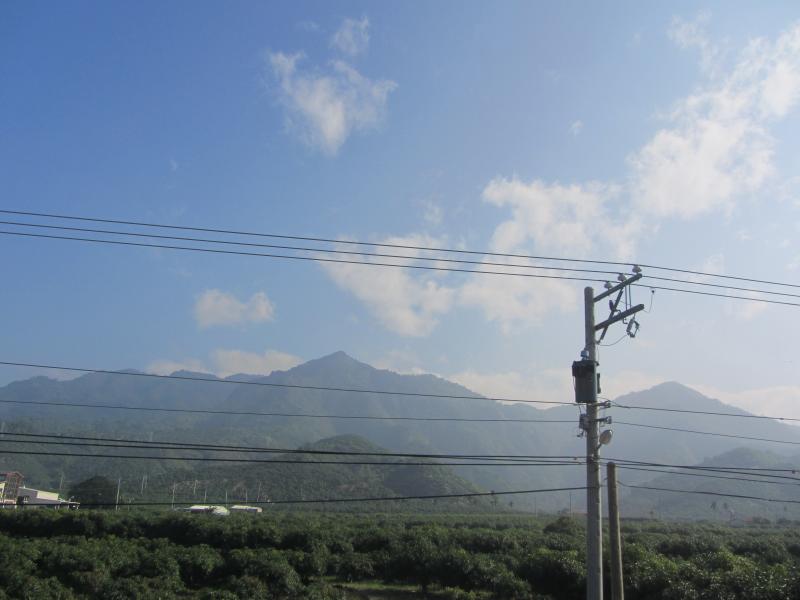
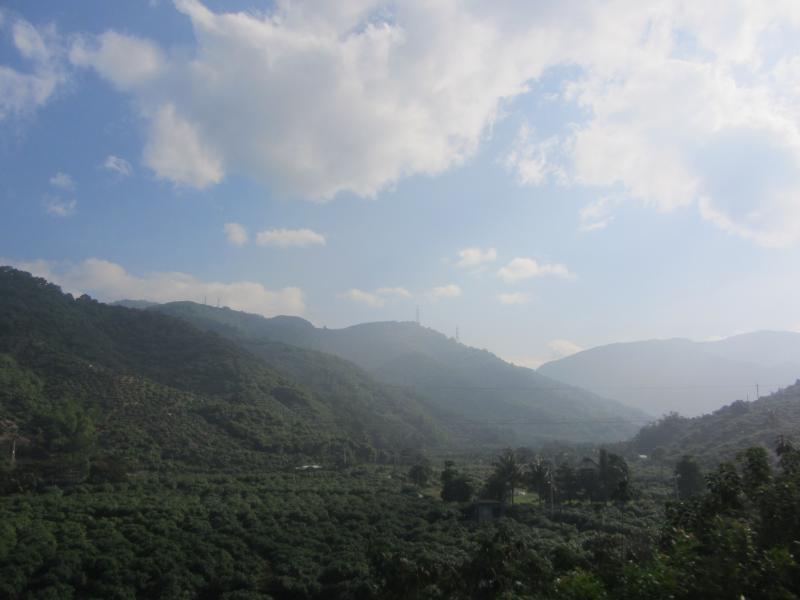
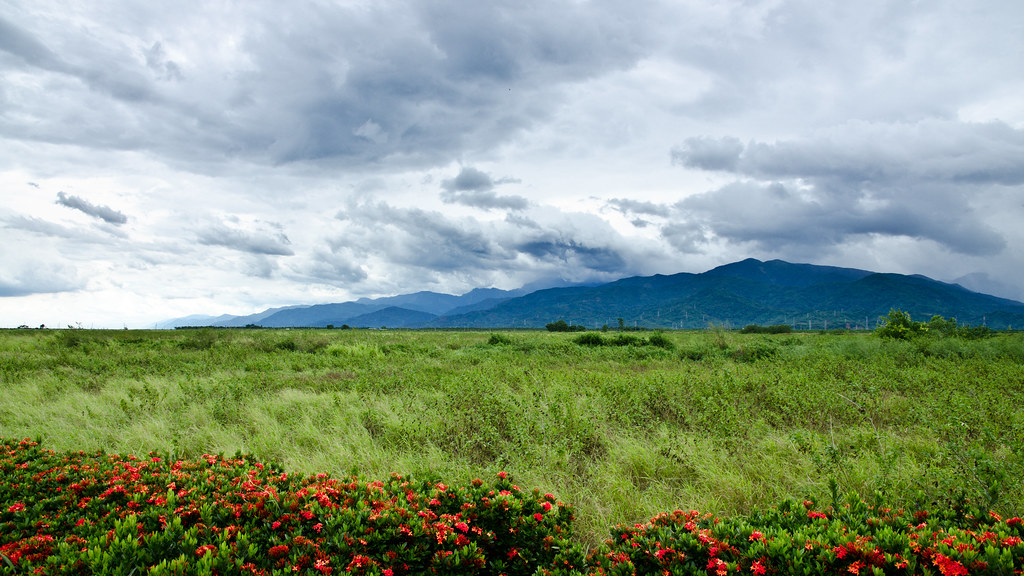
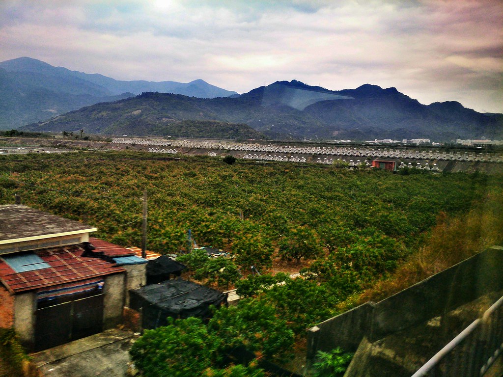
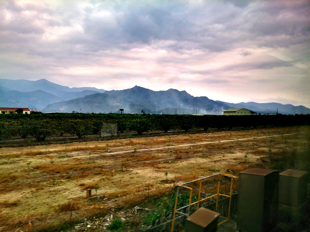
View Outside Train Window
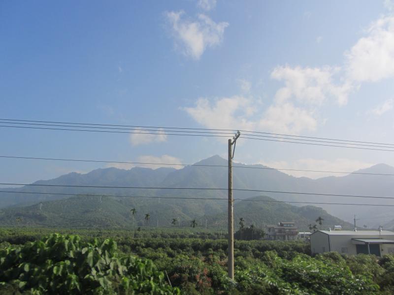
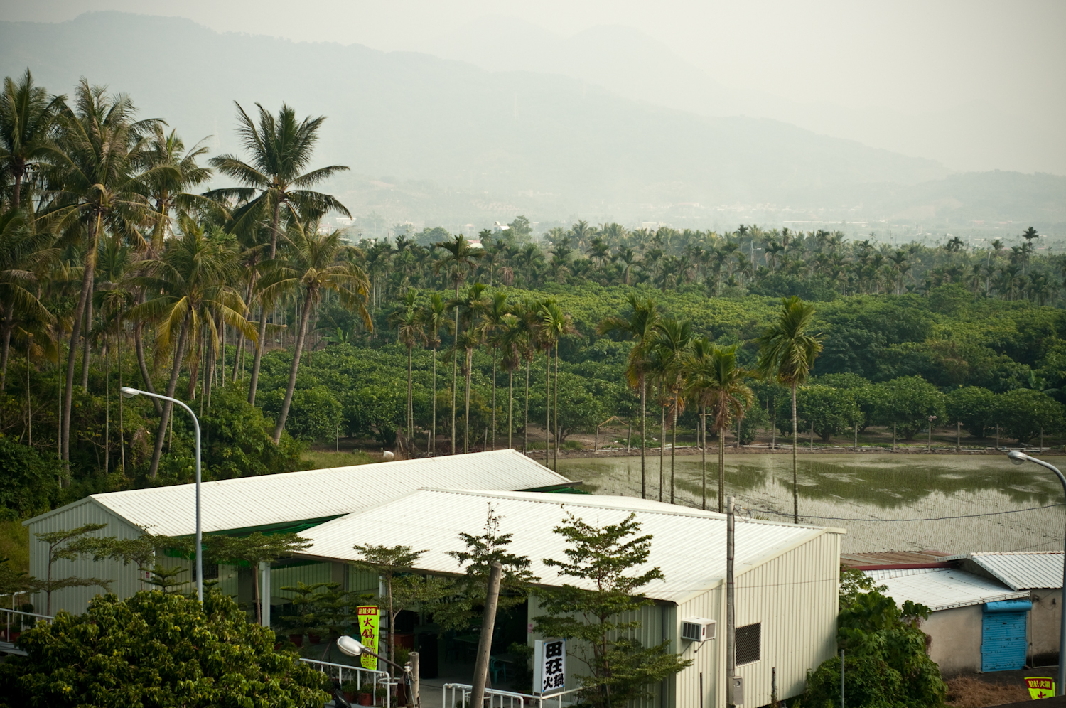
View Outside Train Window
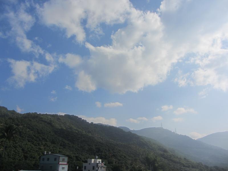
View Outside Train Window
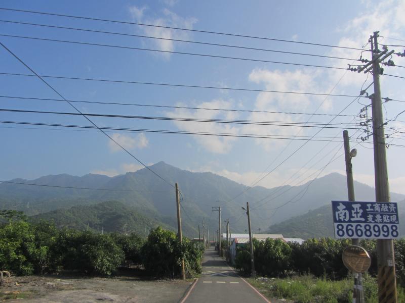
View Outside Train Window

View Outside Train Window

View Outside Train Window
View Outside Train Window
View Outside Train Window
taiwan2009-133.jpg

View Outside Train Window

View Outside Train Window

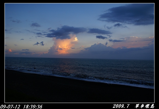
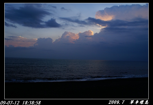
Sunset Sea View at 全家便利商店枋山觀海店

Beach Sea View at 全家便利商店枋山觀海店

Sunset Sea View Beach Landscape at 全家便利商店枋山觀海店

Sunset (Viewed From Dapeng Bay Bridge)

Sunset (Viewed From Dapeng Bay Bridge)

Sunset (Viewed From Dapeng Bay Bridge)

Sunset (Viewed From Dapeng Bay Bridge)

Sunset (Viewed From Dapeng Bay Bridge)

Sunset (Viewed From Dapeng Bay Bridge)

Sunset (Viewed From Dapeng Bay Bridge)

墾丁。走吧
0027.jpg

墾丁我來了!
枋山微笑日日紅採果165

听…海哭的声音

听…海哭的声音

很藍的海
0025.jpg
沿山公路風景 Yanshan Highway, Ping-tung city, Taiwan
C360_2014-03-22-13-53-43-401.jpg
C360_2014-03-22-13-52-45-233.jpg
20130729墾丁遊

屏東枋寮漁港

墾丁

夕陽無限好

在南台灣捕捉到2015的第一道夕陽

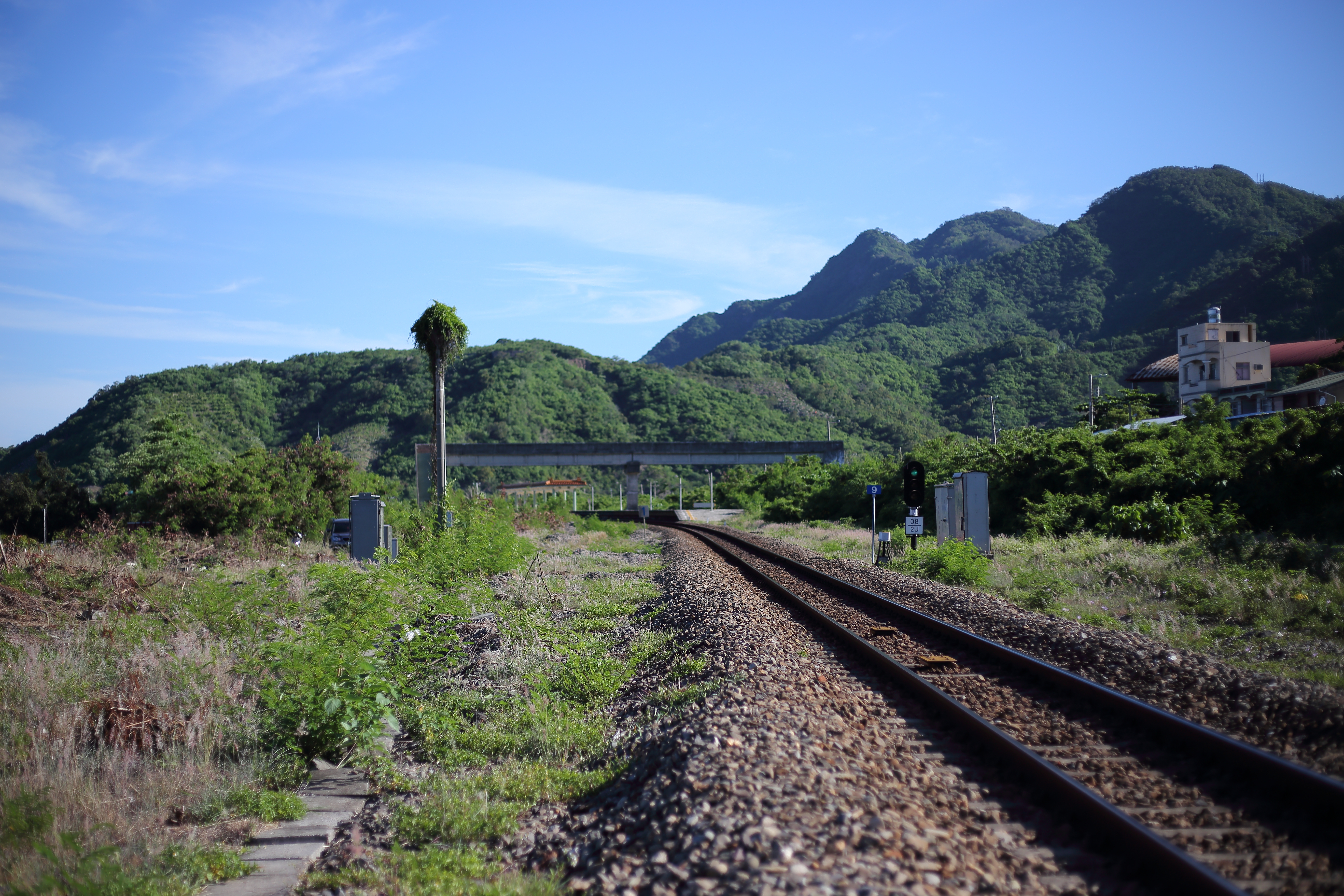
Chu-Kuang Express on TRA South-link line@Fangshan station
Topographic Map of No. 72, Chenggong Rd, Fangliao Township, Pingtung County, Taiwan
Find elevation by address:

Places near No. 72, Chenggong Rd, Fangliao Township, Pingtung County, Taiwan:
地利村
內寮村
枋寮村
No. 41, Wayao Rd, Fangliao Township, Pingtung County, Taiwan
No. 36, Dexing Rd, Fangliao Township, Pingtung County, Taiwan
No. 21, Zhongzhuang E Rd, Fangliao Township, Pingtung County, Taiwan
新開村
No. 3, Zhongshan Rd, Fangliao Township, Pingtung County, Taiwan
春日村
Taiwan, Pingtung County, Fangliao Township, 屏鄉道號
Taiwan, Pingtung County, Chunri Township, 古華路2巷13號
保生村
No. 42, Ziqiang 2nd Rd, Chunri Township, Pingtung County, Taiwan
歸崇村
加祿村
Taiwan, Pingtung County, Laiyi Township, 南和路號
No. 64, Shiwen Rd, Chunri Township, Pingtung County, Taiwan
Taiwan, Pingtung County, Chunri Township, 卡法路號
箕湖村
望嘉
Recent Searches:
- Elevation of Pasing, Munich, Bavaria, 81241, Germany
- Elevation of 24, Auburn Bay Crescent SE, Auburn Bay, Calgary, Alberta, T3M 0A6, Canada
- Elevation of Denver, 2314, Arapahoe Street, Five Points, Denver, Colorado, 80205, USA
- Elevation of Community of the Beatitudes, 2924, West 43rd Avenue, Sunnyside, Denver, Colorado, 80211, USA
- Elevation map of Litang County, Sichuan, China
- Elevation map of Madoi County, Qinghai, China
- Elevation of 3314, Ohio State Route 114, Payne, Paulding County, Ohio, 45880, USA
- Elevation of Sarahills Drive, Saratoga, Santa Clara County, California, 95070, USA
- Elevation of Town of Bombay, Franklin County, New York, USA
- Elevation of 9, Convent Lane, Center Moriches, Suffolk County, New York, 11934, USA
- Elevation of Saint Angelas Convent, 9, Convent Lane, Center Moriches, Suffolk County, New York, 11934, USA
- Elevation of 131st Street Southwest, Mukilteo, Snohomish County, Washington, 98275, USA
- Elevation of 304, Harrison Road, Naples, Cumberland County, Maine, 04055, USA
- Elevation of 2362, Timber Ridge Road, Harrisburg, Cabarrus County, North Carolina, 28075, USA
- Elevation of Ridge Road, Marshalltown, Marshall County, Iowa, 50158, USA
- Elevation of 2459, Misty Shadows Drive, Pigeon Forge, Sevier County, Tennessee, 37862, USA
- Elevation of 8043, Brightwater Way, Spring Hill, Williamson County, Tennessee, 37179, USA
- Elevation of Starkweather Road, San Luis, Costilla County, Colorado, 81152, USA
- Elevation of 5277, Woodside Drive, Baton Rouge, East Baton Rouge Parish, Louisiana, 70808, USA
- Elevation of 1139, Curtin Street, Shepherd Park Plaza, Houston, Harris County, Texas, 77018, USA