Elevation map of Nkangala, South Africa
Location: South Africa > Mpumalanga >
Longitude: 29.6035495
Latitude: -25.945989
Elevation: 1572m / 5157feet
Barometric Pressure: 84KPa
Elevation Map:
Satellite Map:
Related Photos:

IMG_2931
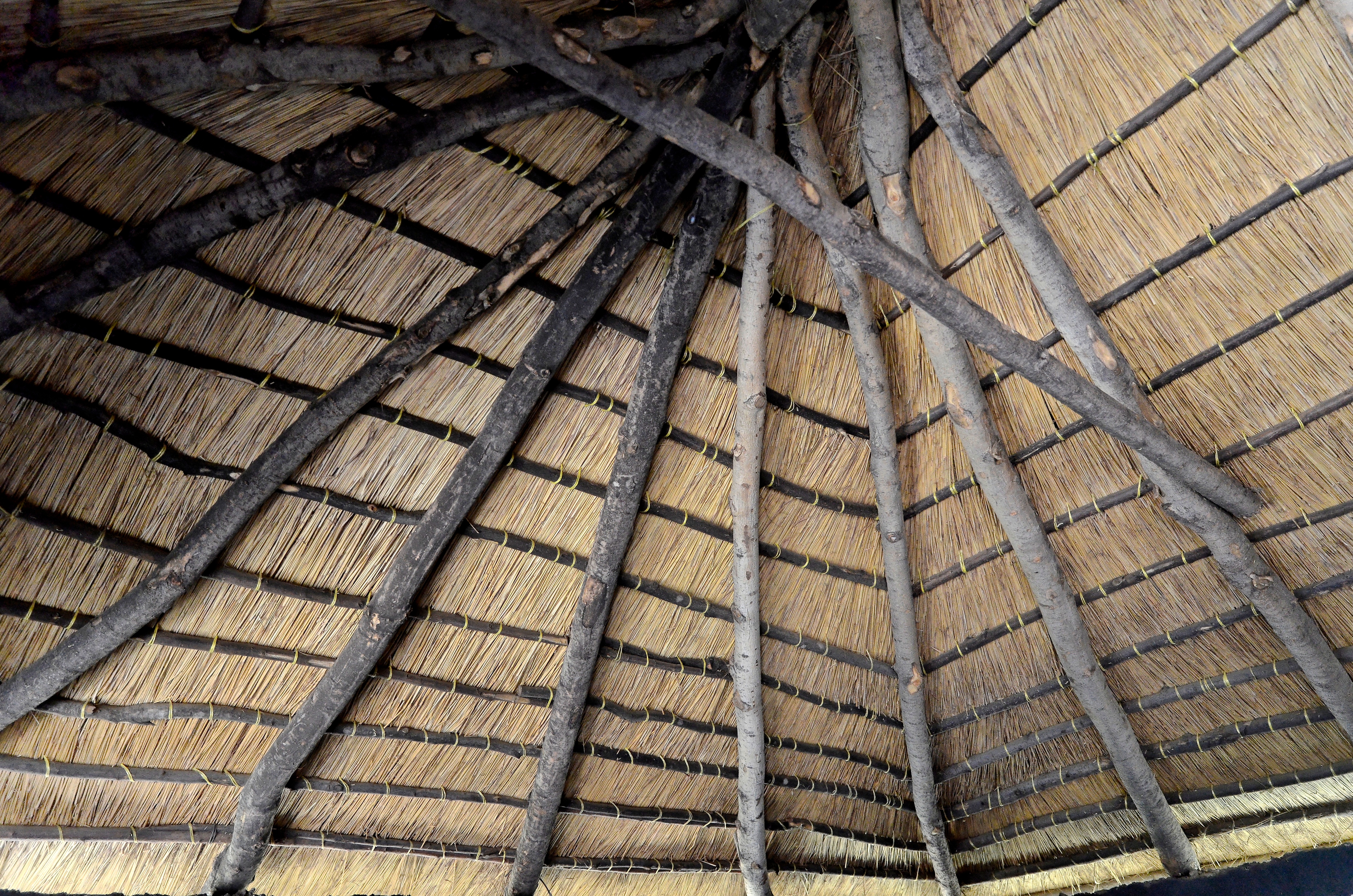
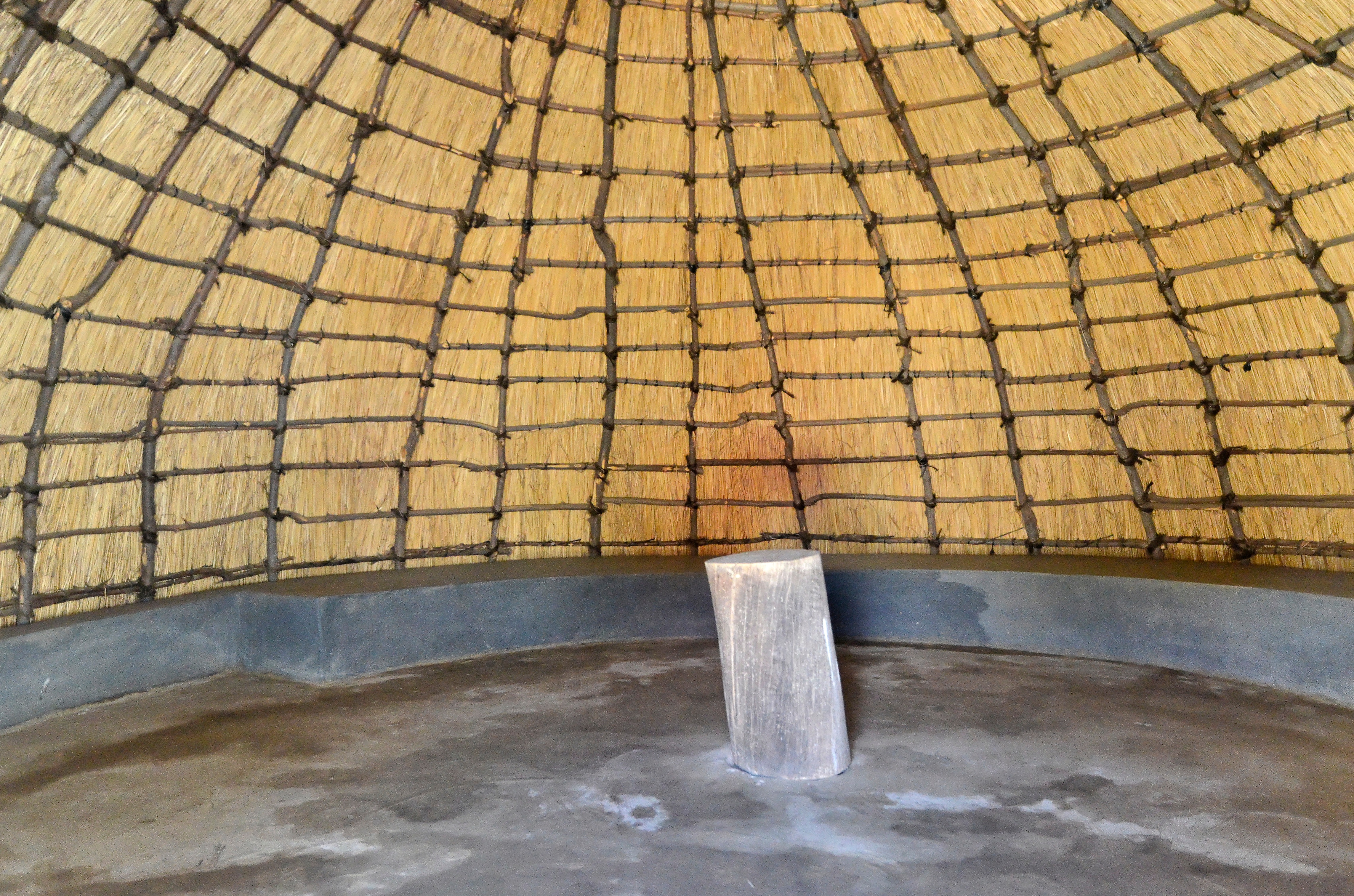
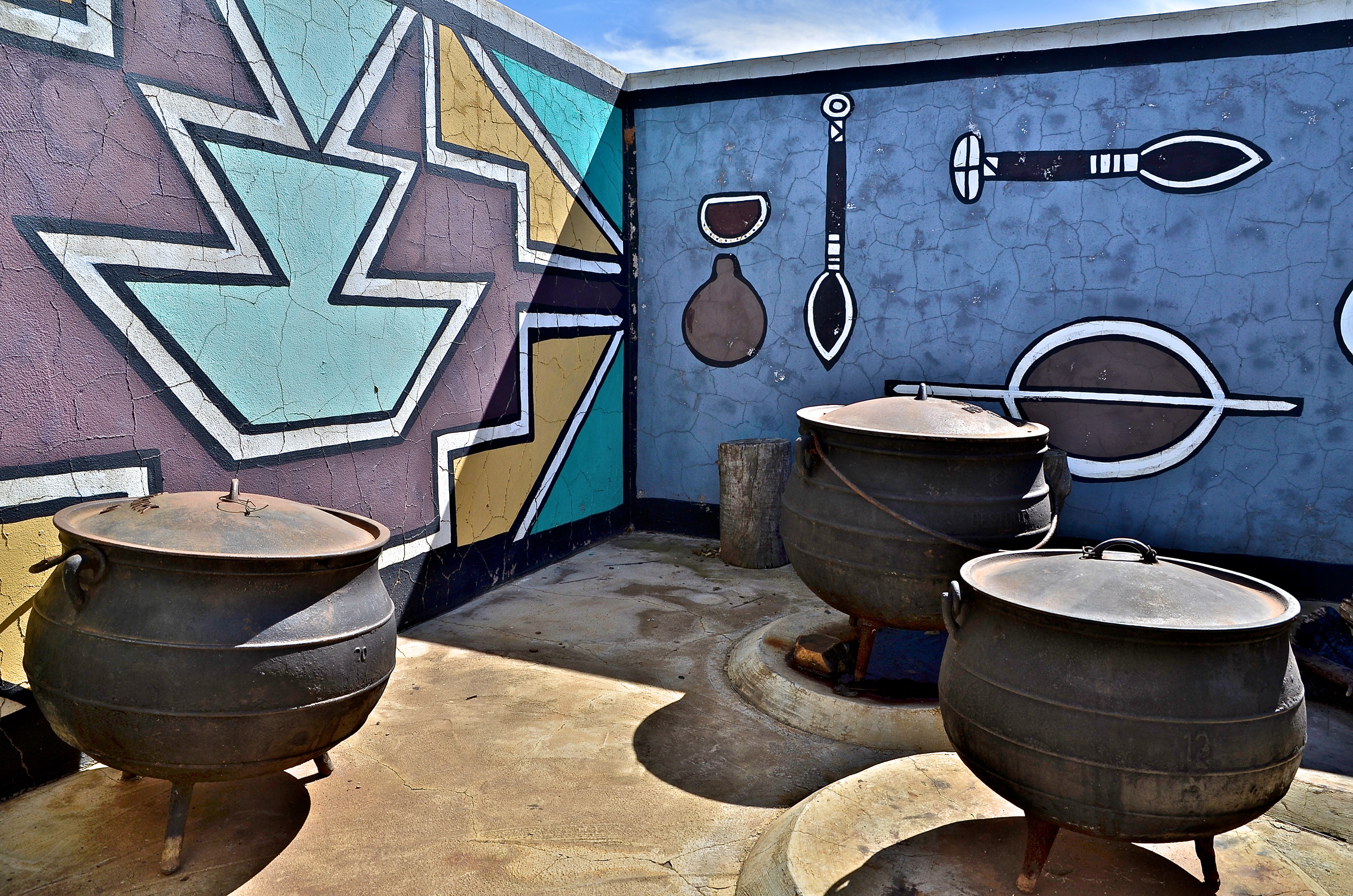
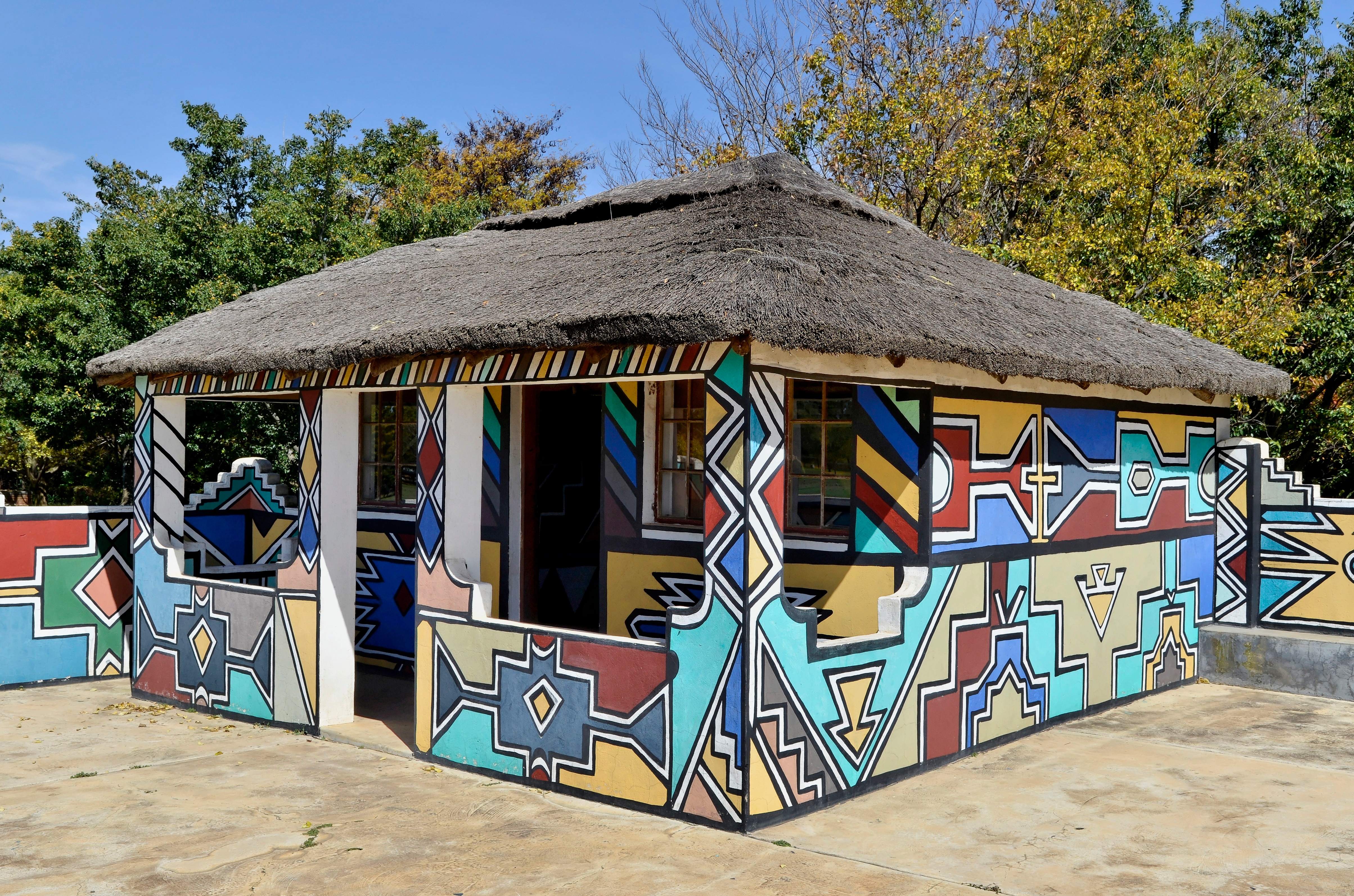
Reconstitution village Ndebele (Steph)
Voyage Afrique du Sud

Voyage Afrique du Sud

Voyage Afrique du Sud

Voyage Afrique du Sud

Voyage Afrique du Sud
south africa 13 466
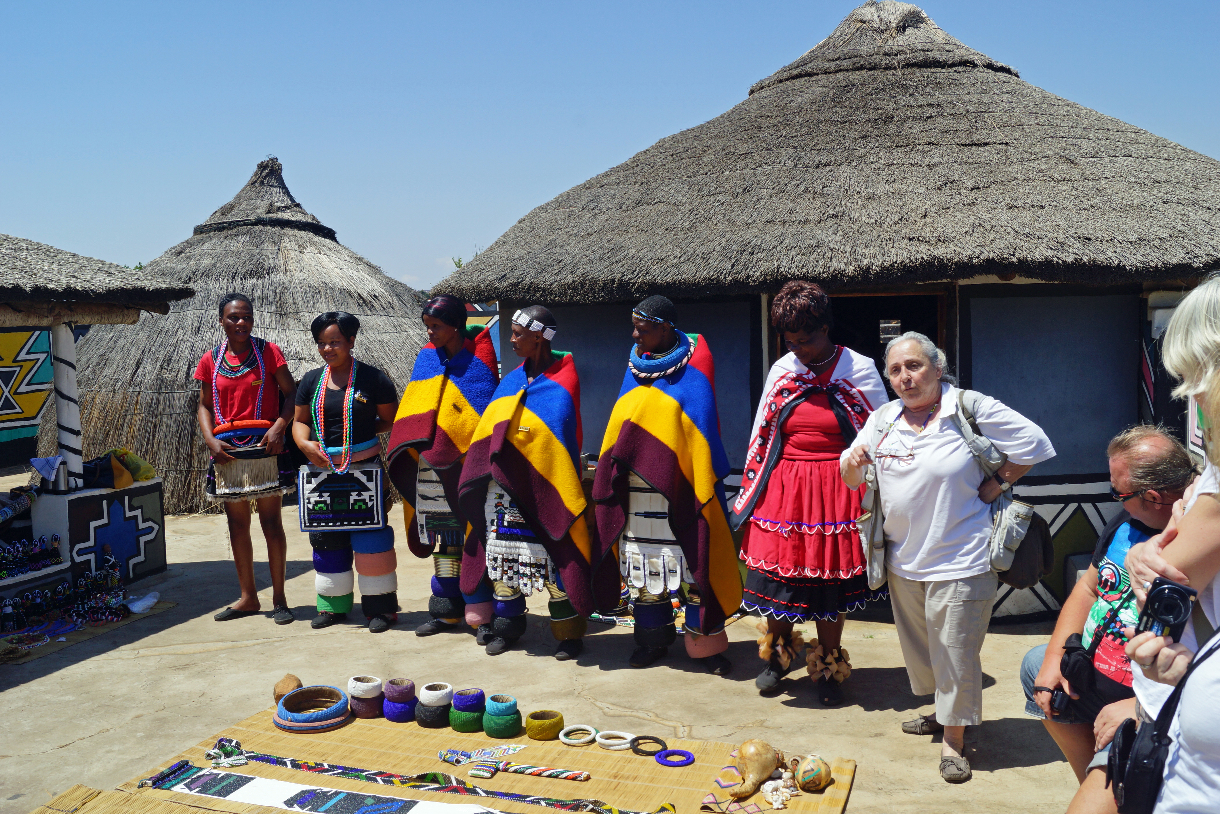
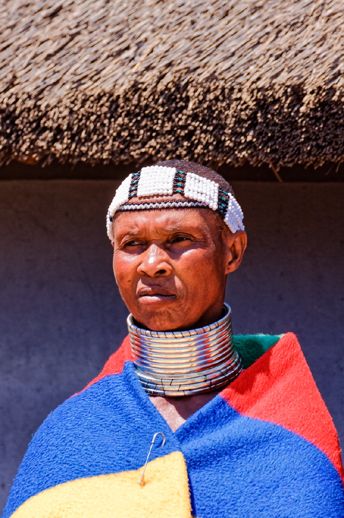
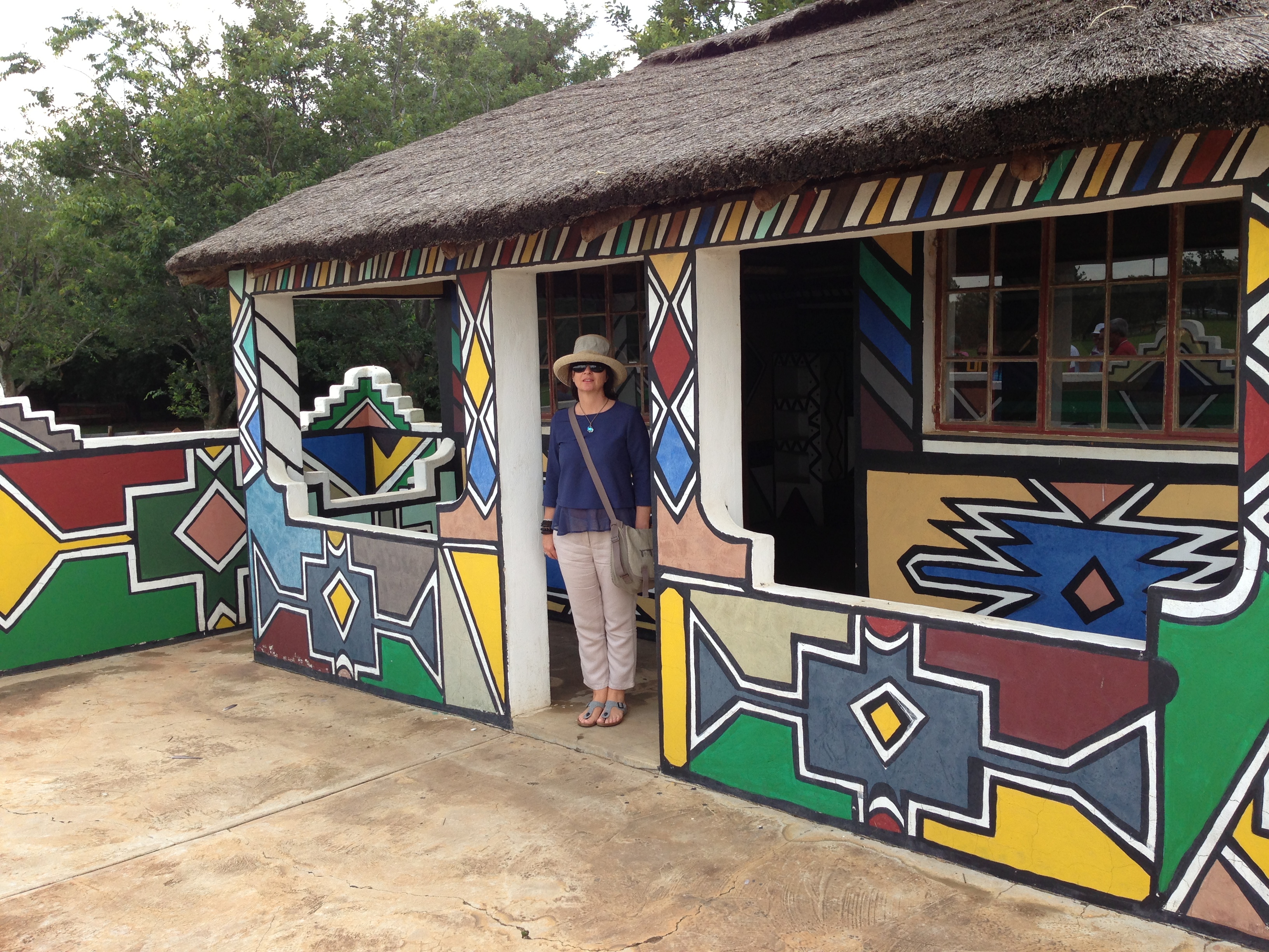
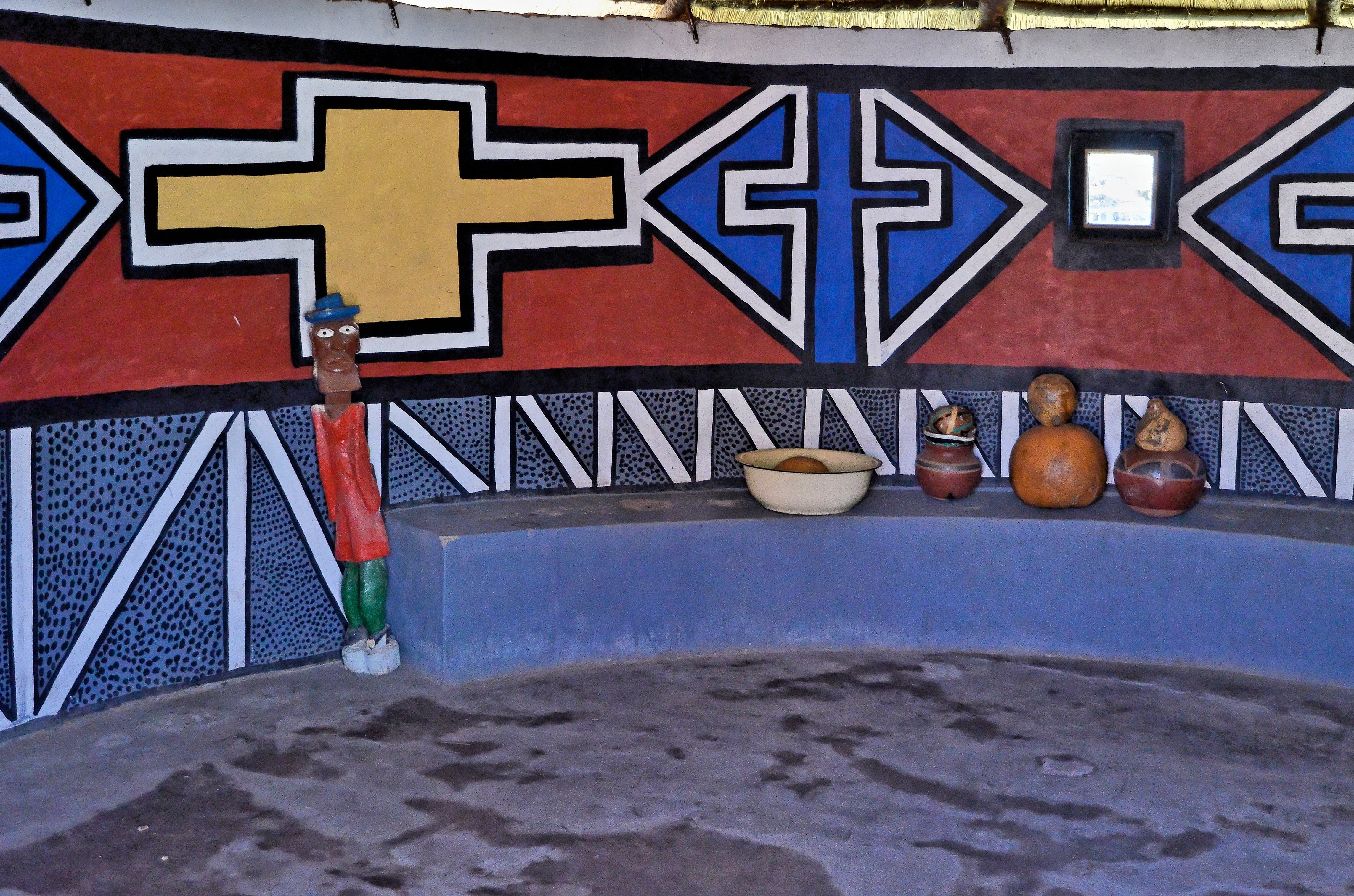
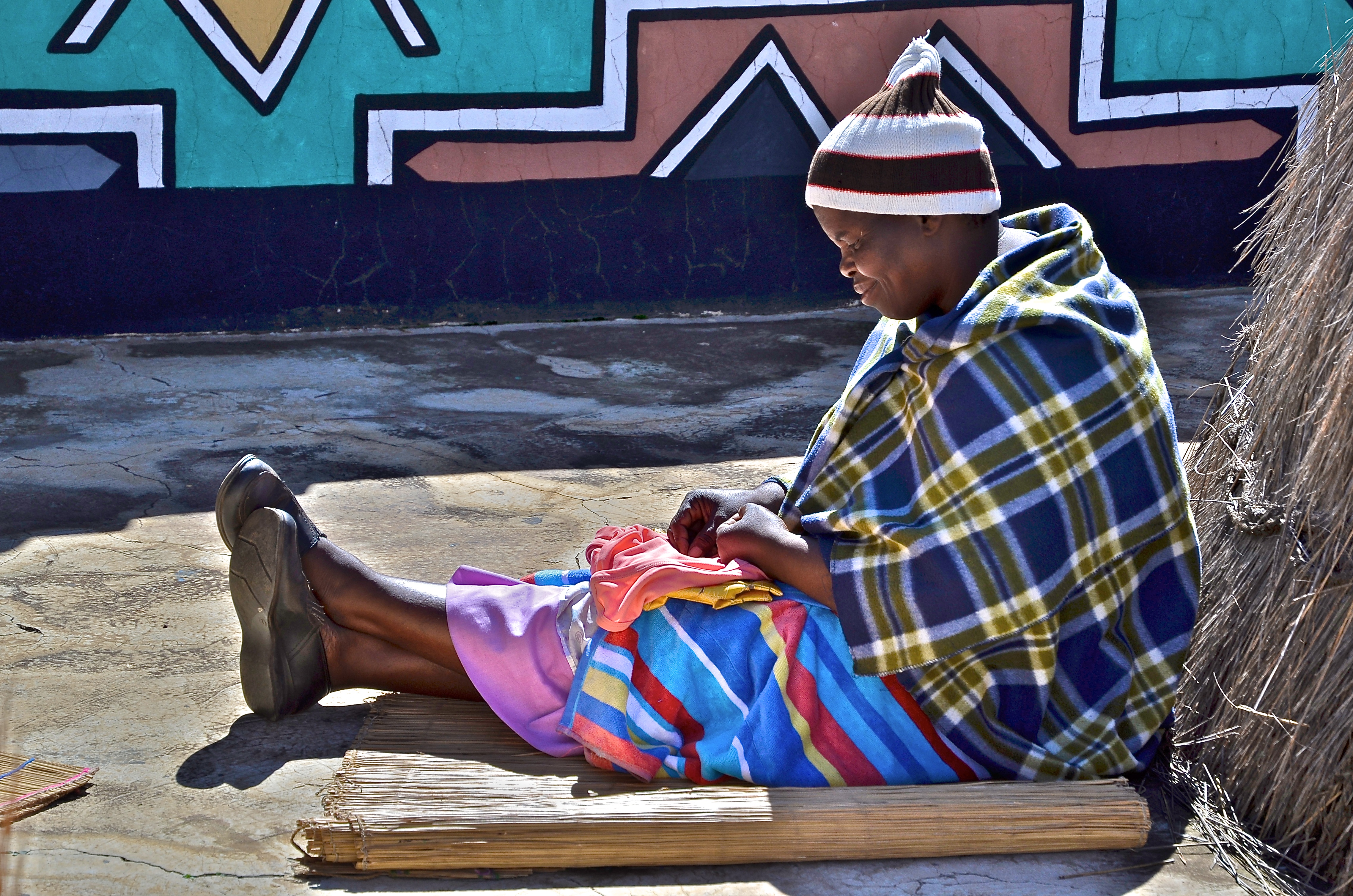
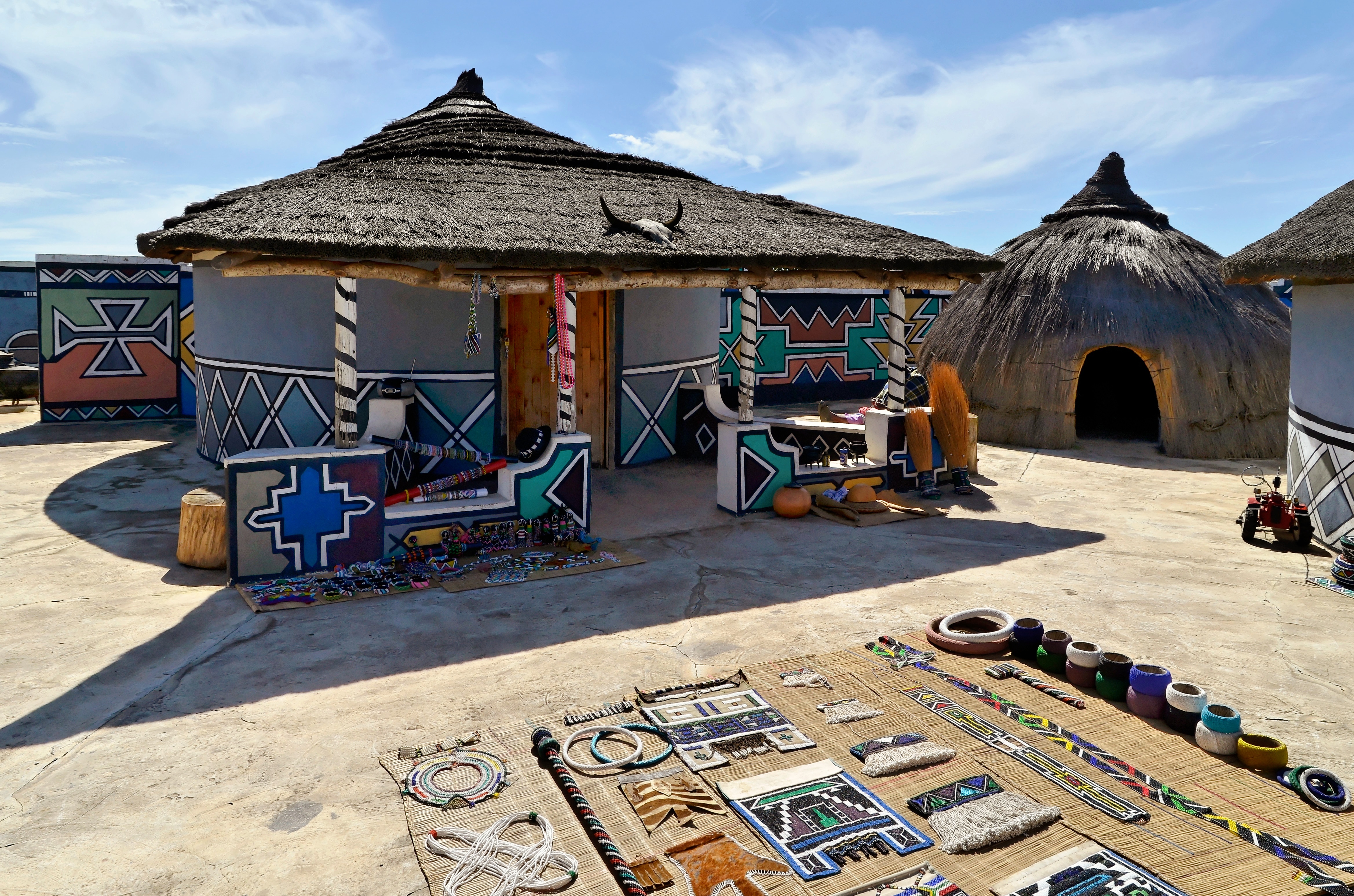
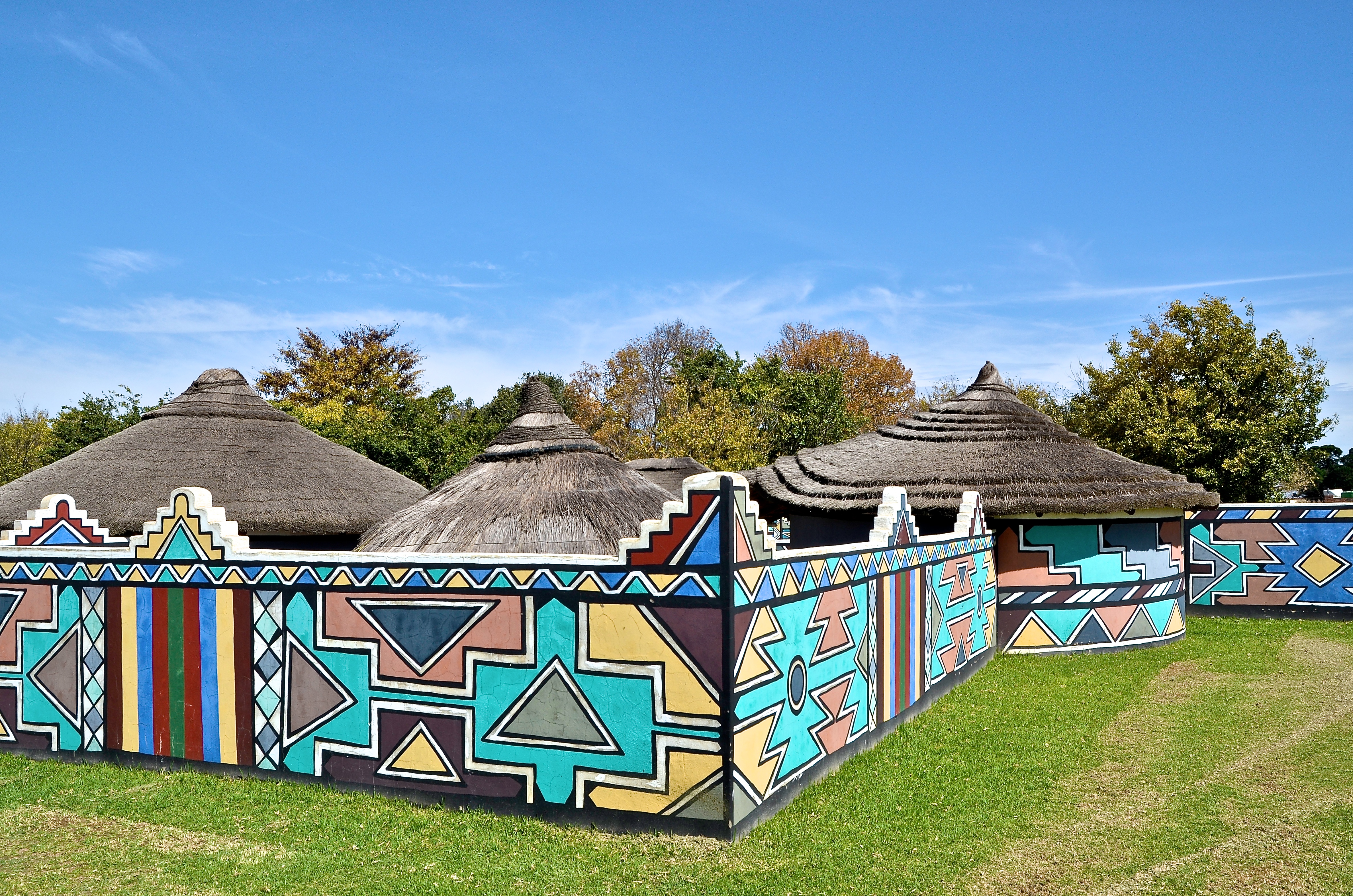
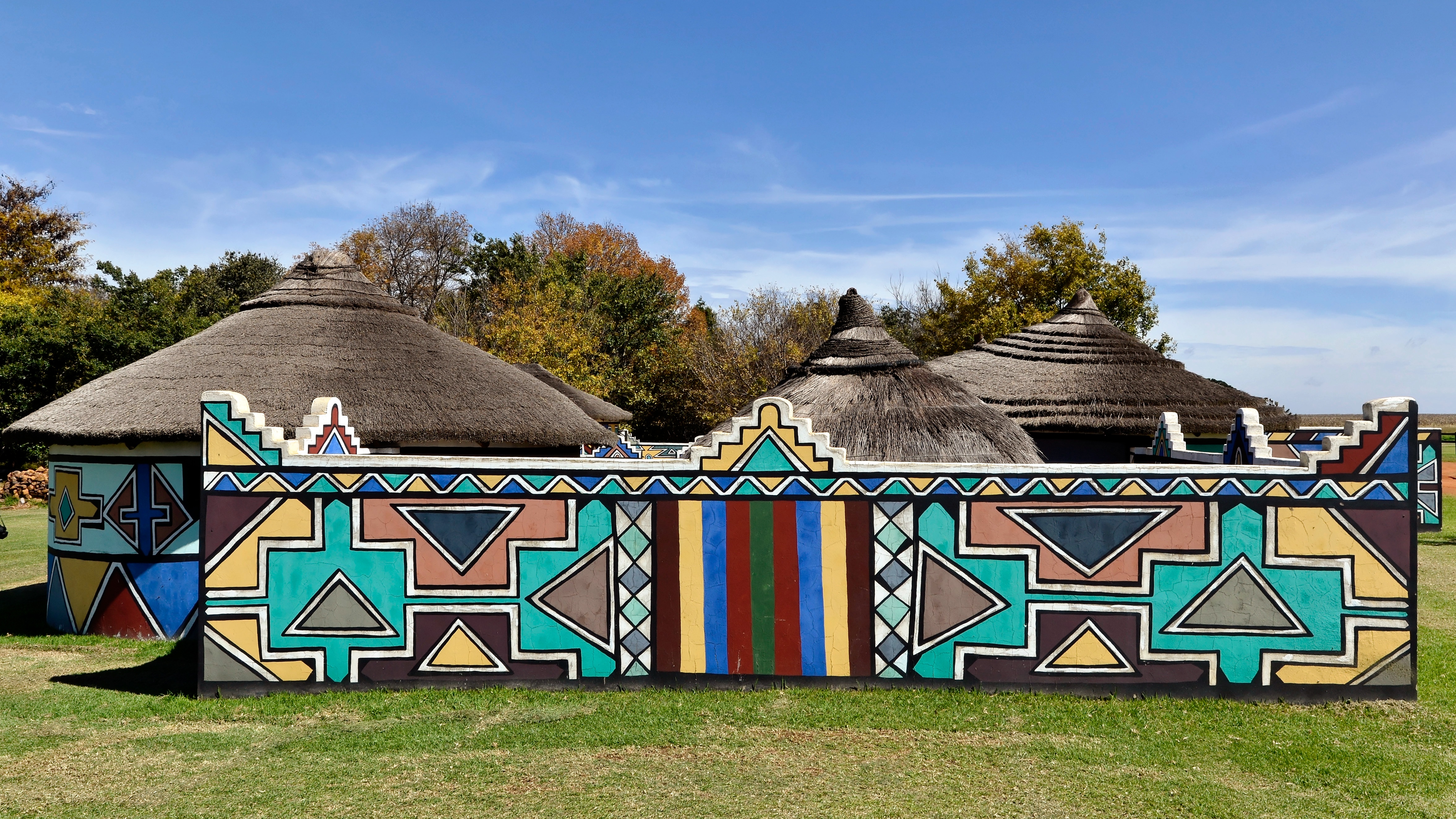
Village Ndebele

Village Ndebele

Village Ndebele
Village Ndebele
Village Ndebele

Village Ndebele
Village Ndebele
Village Ndebele
Village Ndebele
Village Ndebele
Village Ndebele
Village Ndebele
Village Ndebele

Village Ndebele
Topographic Map of Nkangala, South Africa
Find elevation by address:

Places in Nkangala, South Africa:
Belfast
Middelburg
Kwamhlanga
Mulati Street
Rosmary Street
Lefiswane
Delmas
Kendal
Ogies
Kwamhlanga
Emalahleni Local Municipality
Belfast
Rockdale
Emalahleni
Middelburg
Emgwenya
Emgwenya
Places near Nkangala, South Africa:
Groot Drakenstein
Total Petroport N4 Alzu
Blinkpan
Belfast
Belfast
Ermelo
Eastvaal District Council
Dullstroom
Witbank 267-it
Anthra Siding
Highland Gate Golf And Trout Estate
Emgwenya
Emgwenya
Tranquilitas Adventure Farm
Witpuntspruit
Maviristad
Mpumalanga
Schoemanskloof
Nhlazatshe 1
Elukwatini
Recent Searches:
- Elevation of Corso Fratelli Cairoli, 35, Macerata MC, Italy
- Elevation of Tallevast Rd, Sarasota, FL, USA
- Elevation of 4th St E, Sonoma, CA, USA
- Elevation of Black Hollow Rd, Pennsdale, PA, USA
- Elevation of Oakland Ave, Williamsport, PA, USA
- Elevation of Pedrógão Grande, Portugal
- Elevation of Klee Dr, Martinsburg, WV, USA
- Elevation of Via Roma, Pieranica CR, Italy
- Elevation of Tavkvetili Mountain, Georgia
- Elevation of Hartfords Bluff Cir, Mt Pleasant, SC, USA