Elevation of Ermelo, South Africa
Location: South Africa > Mpumalanga > Eastvaal District Council >
Longitude: 29.9856157
Latitude: -26.512358
Elevation: 1711m / 5614feet
Barometric Pressure: 82KPa
Elevation Map:
Satellite Map:
Related Photos:

ZA-110913
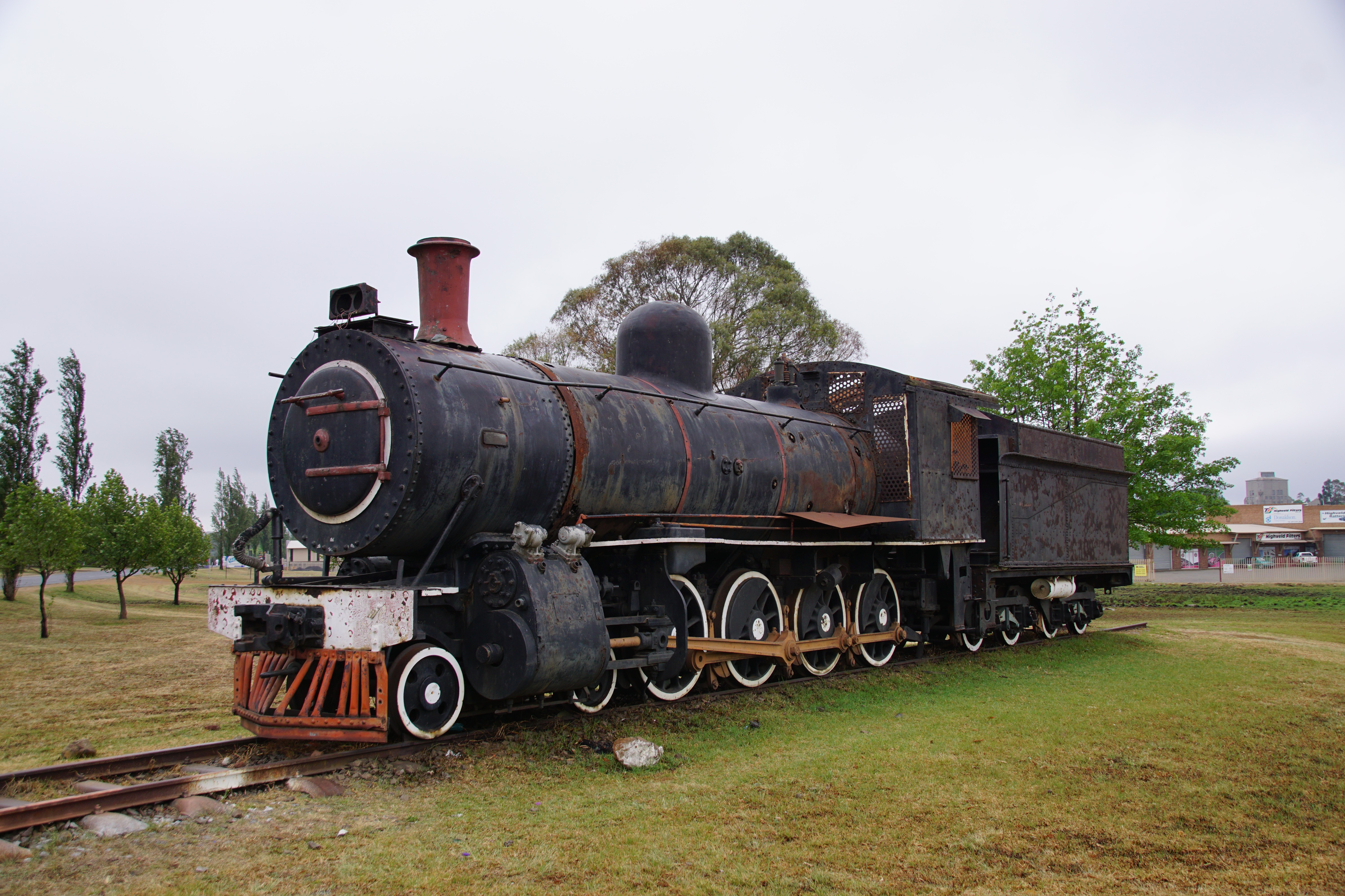
SAR Class 8A: No. 1106, Ermelo / Msukaligwa, Mpumalanga. 14.10.2016.

IMG-20130405-00462
Topographic Map of Ermelo, South Africa
Find elevation by address:

Places in Ermelo, South Africa:
Places near Ermelo, South Africa:
Eastvaal District Council
Witbank 267-it
Anthra Siding
Witpuntspruit
Maviristad
Groot Drakenstein
Blinkpan
Nkangala
Total Petroport N4 Alzu
Belfast
Nhlazatshe 1
Tranquilitas Adventure Farm
Belfast
Emgwenya
Emgwenya
Elukwatini
Highland Gate Golf And Trout Estate
Mpumalanga
Dullstroom
Schoemanskloof
Recent Searches:
- Elevation of Corso Fratelli Cairoli, 35, Macerata MC, Italy
- Elevation of Tallevast Rd, Sarasota, FL, USA
- Elevation of 4th St E, Sonoma, CA, USA
- Elevation of Black Hollow Rd, Pennsdale, PA, USA
- Elevation of Oakland Ave, Williamsport, PA, USA
- Elevation of Pedrógão Grande, Portugal
- Elevation of Klee Dr, Martinsburg, WV, USA
- Elevation of Via Roma, Pieranica CR, Italy
- Elevation of Tavkvetili Mountain, Georgia
- Elevation of Hartfords Bluff Cir, Mt Pleasant, SC, USA