Elevation of Nishikimachisugawa, Iwakuni-shi, Yamaguchi-ken -, Japan
Location: Japan > Yamaguchi Prefecture > Iwakuni >
Longitude: 132.0087165
Latitude: 34.3340373
Elevation: 450m / 1476feet
Barometric Pressure: 0KPa
Related Photos:
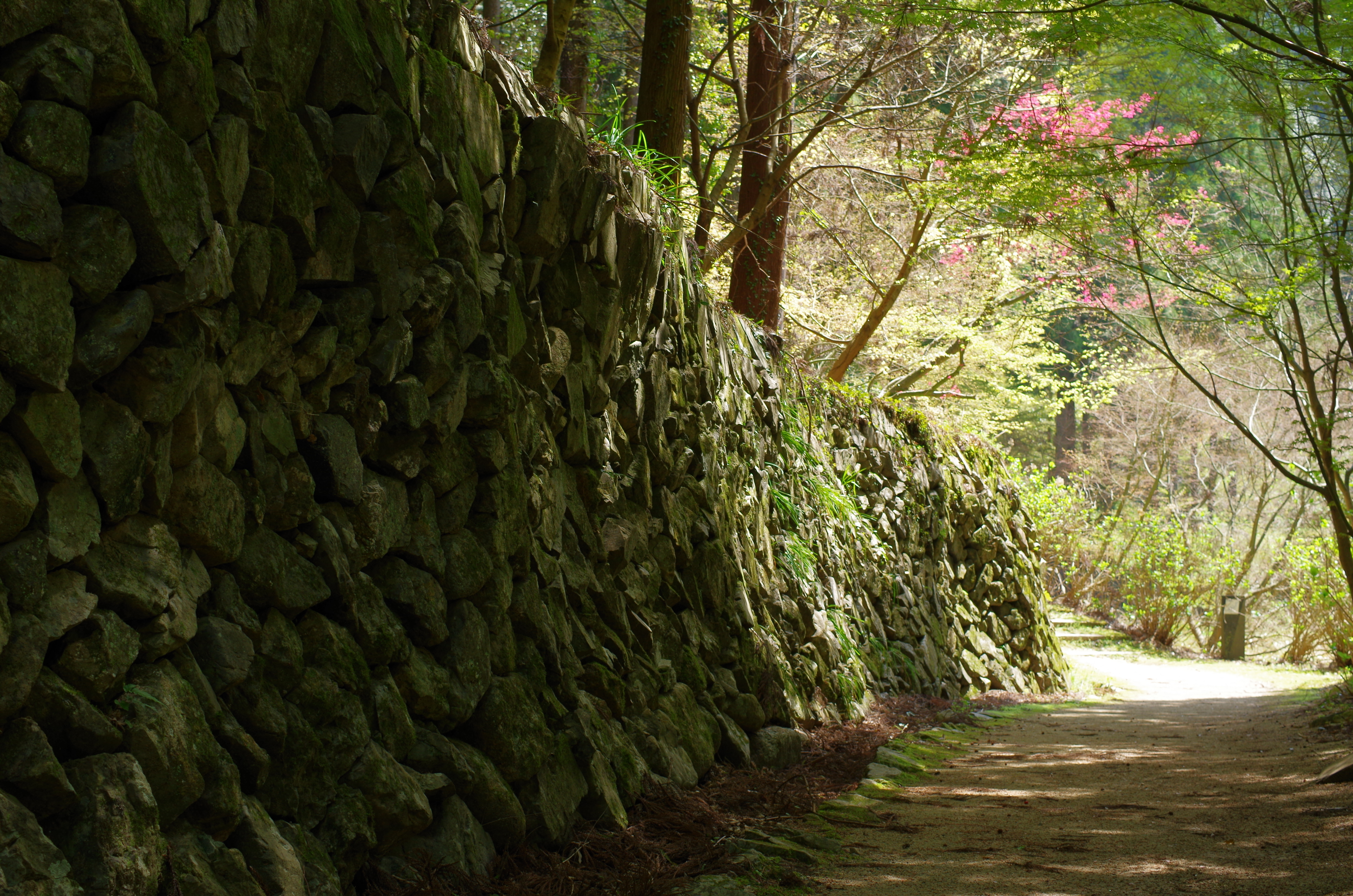
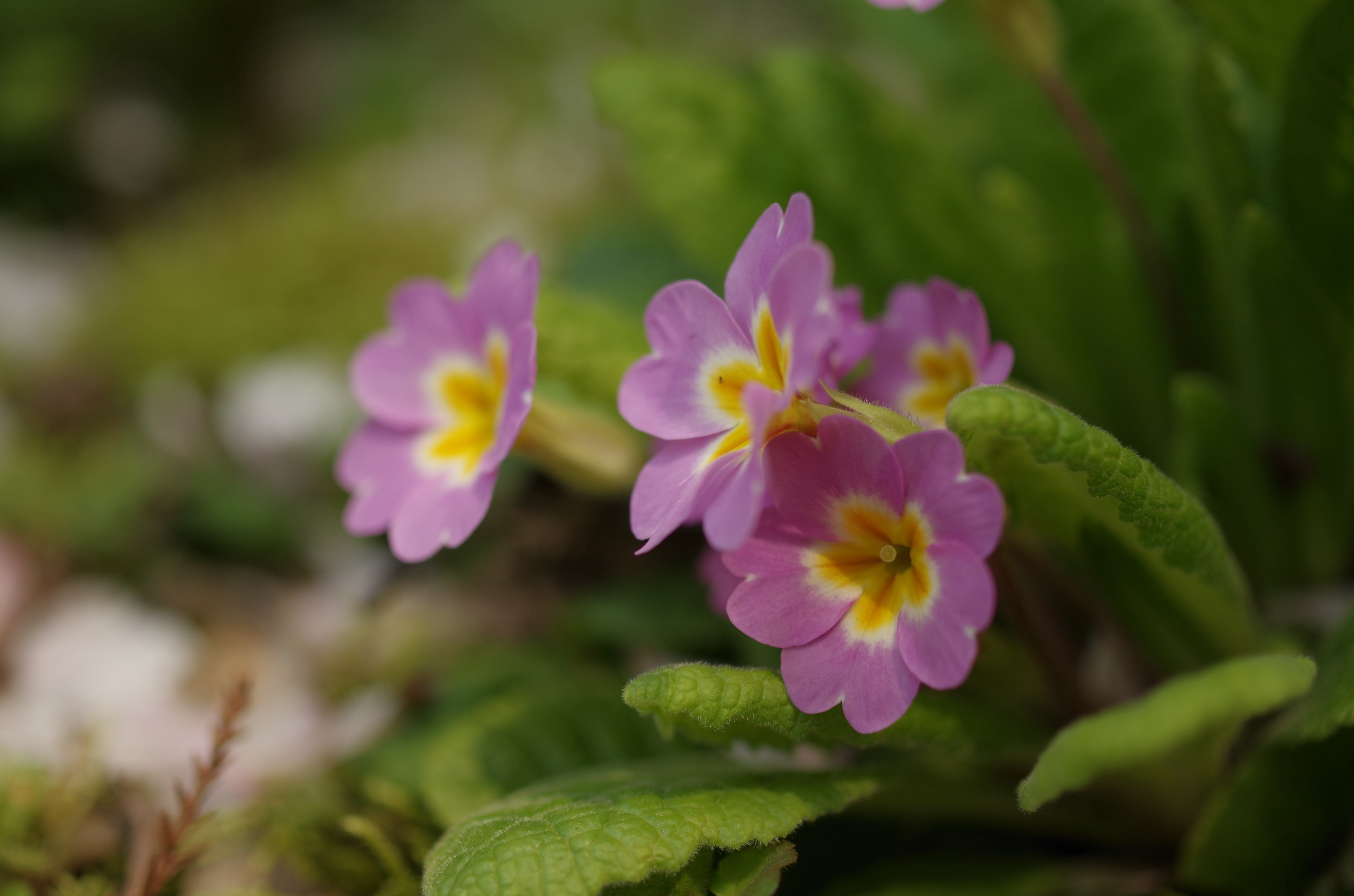
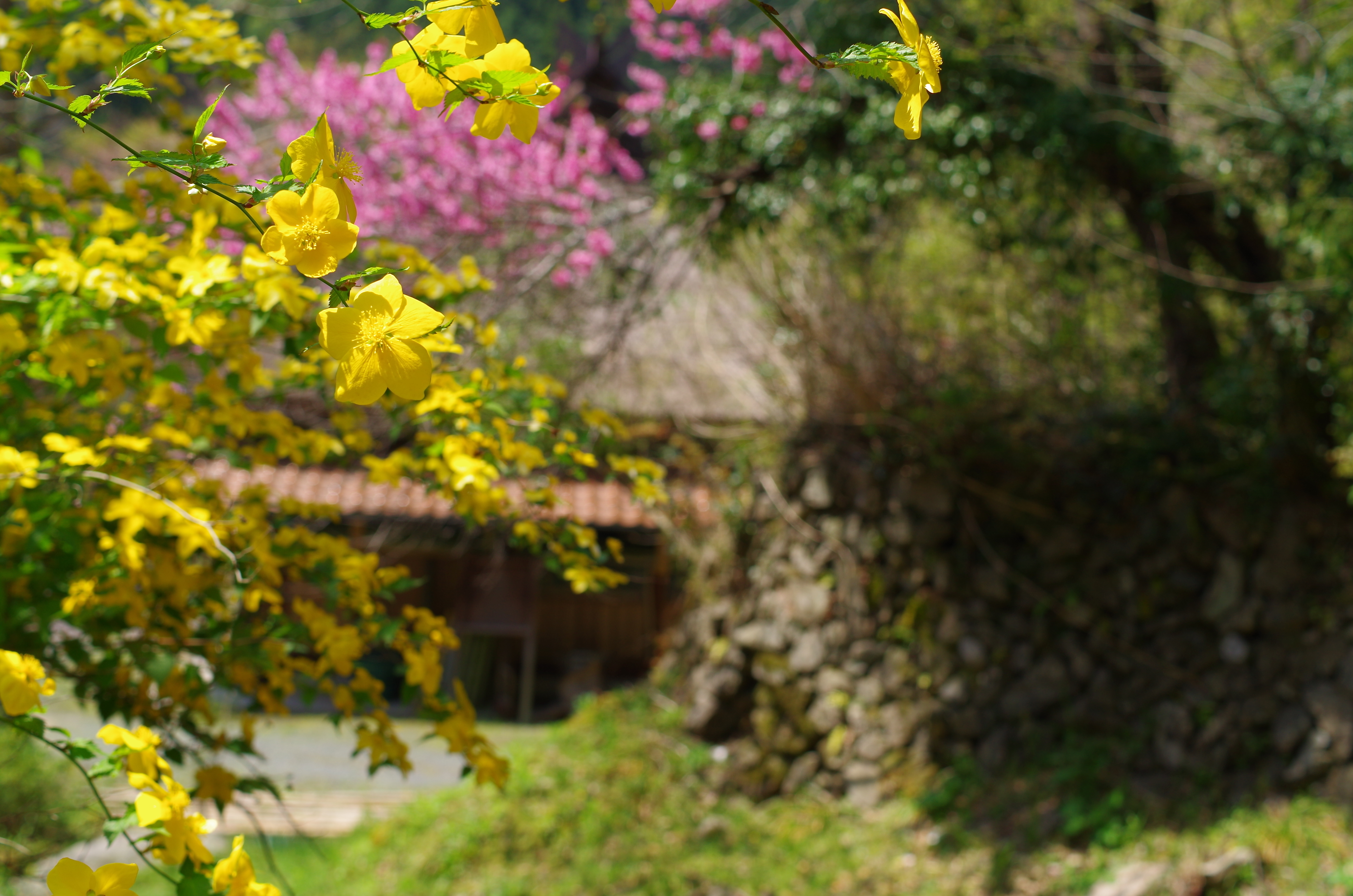
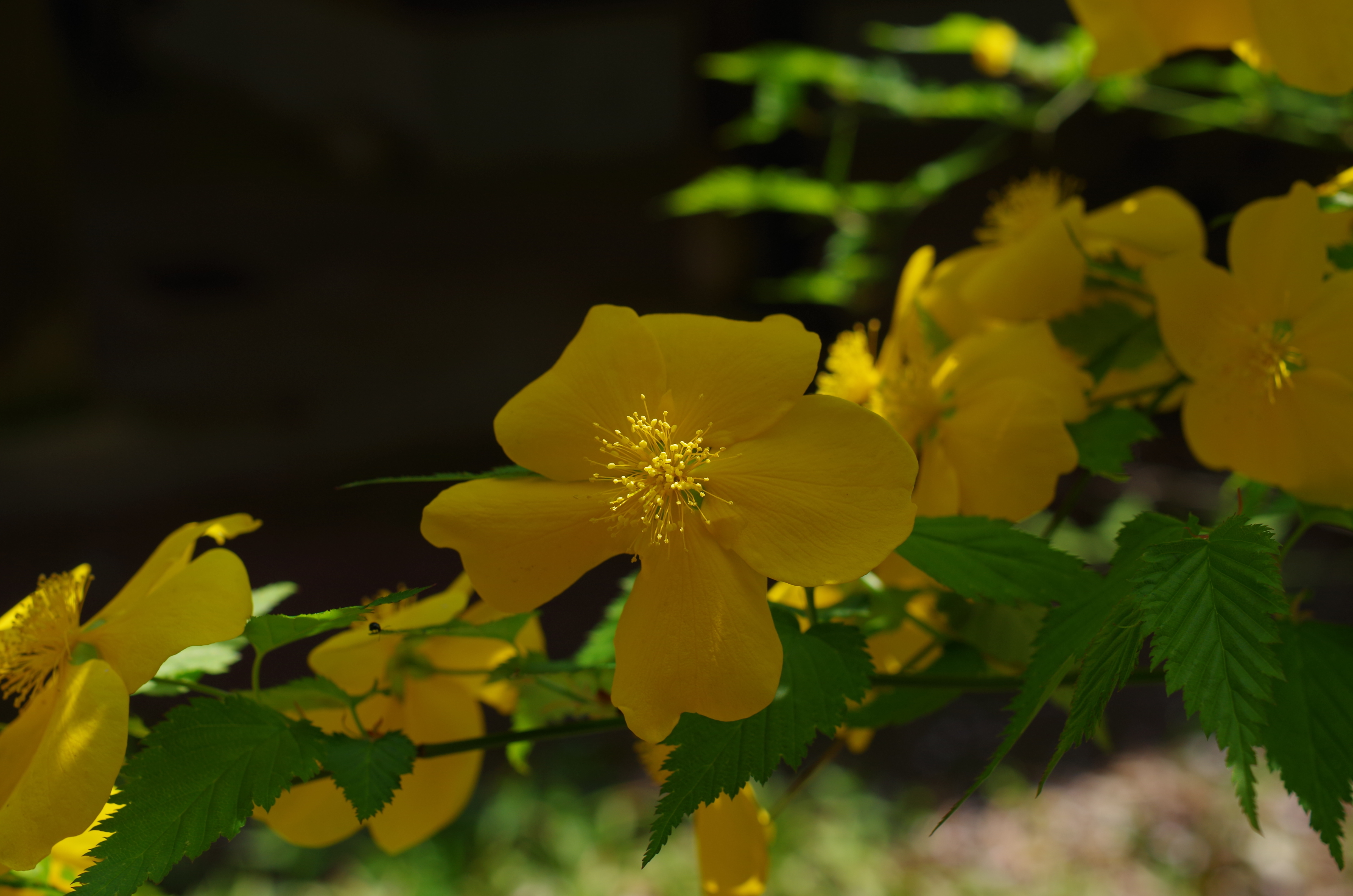
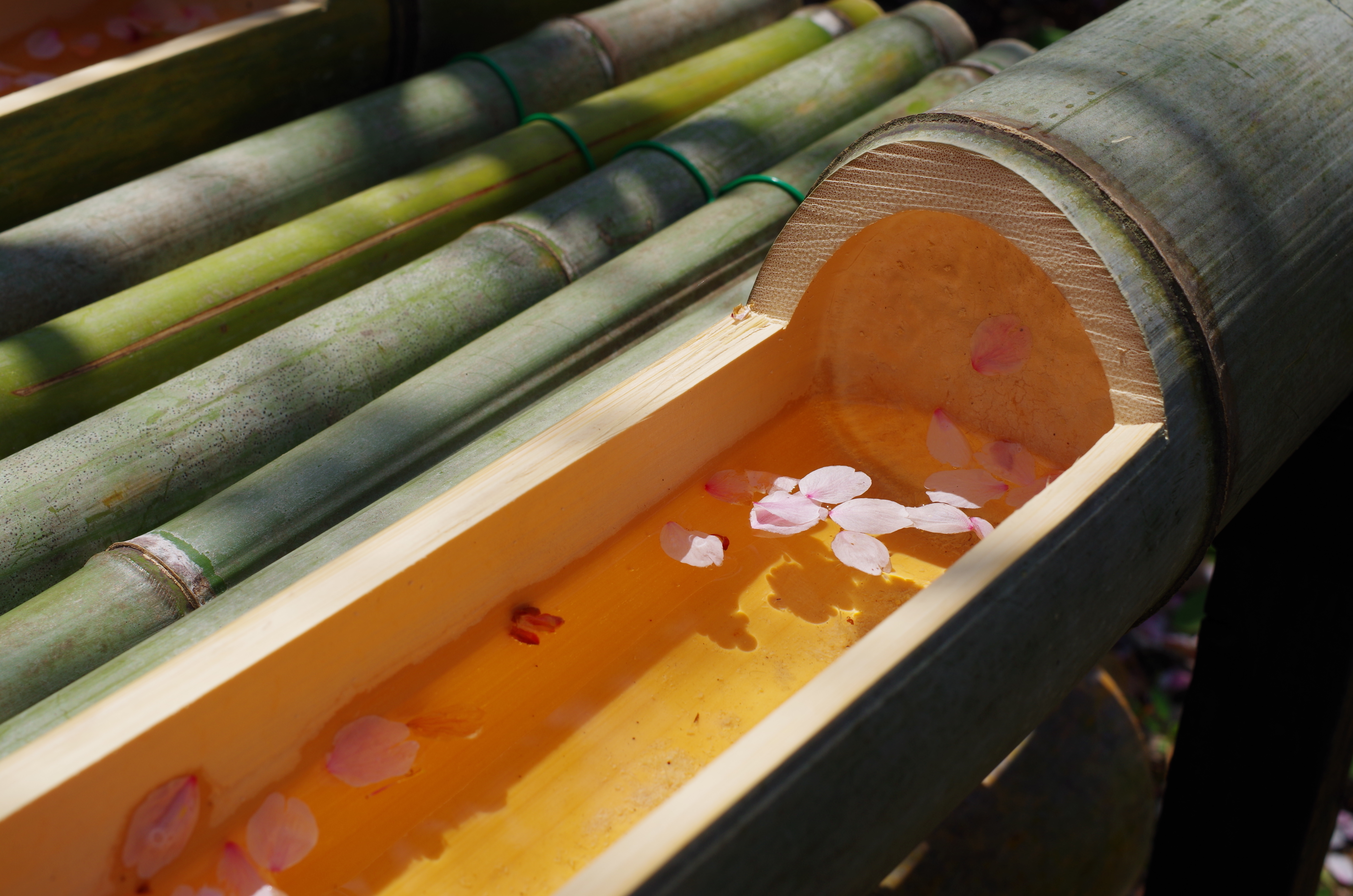
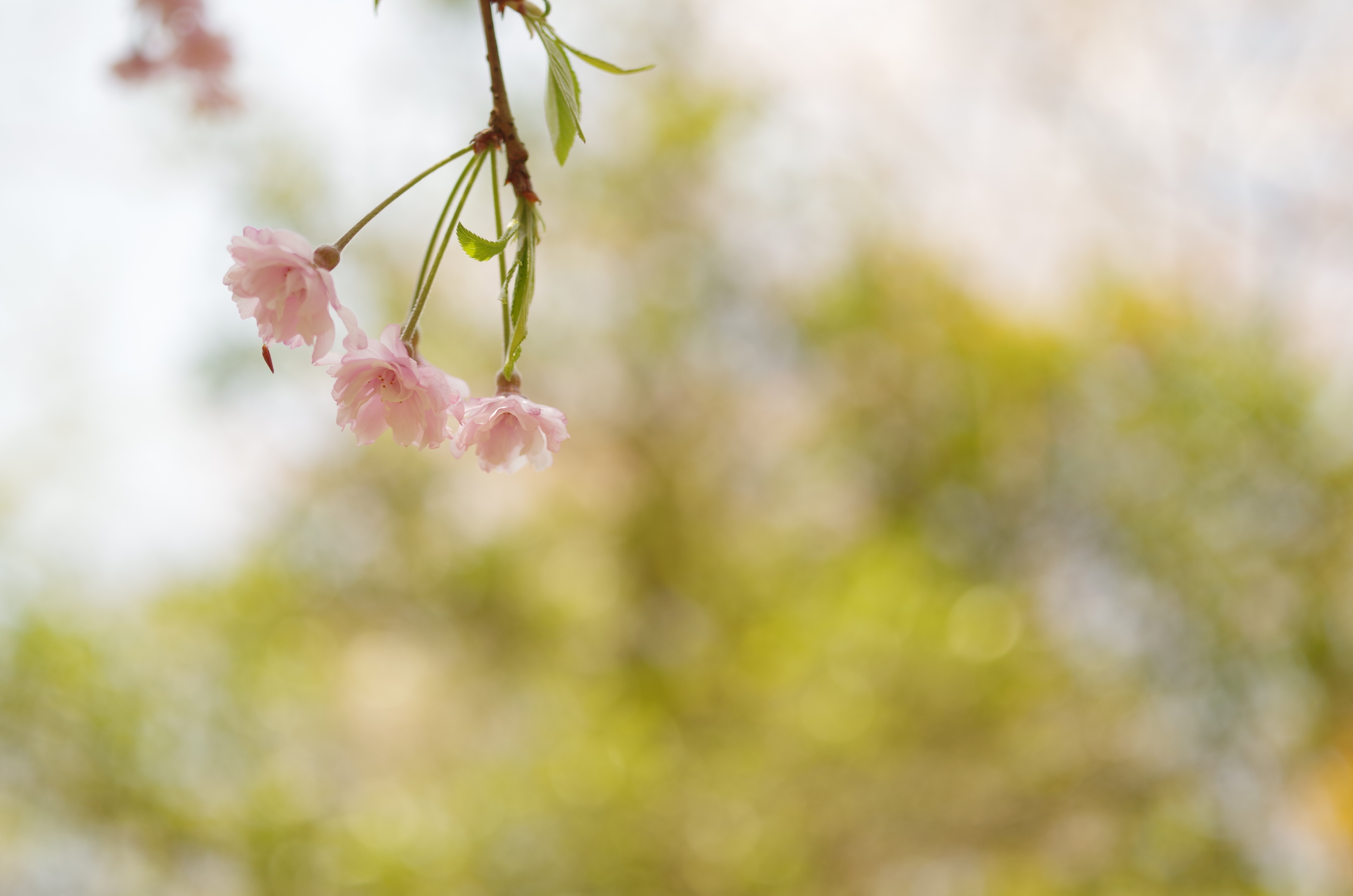
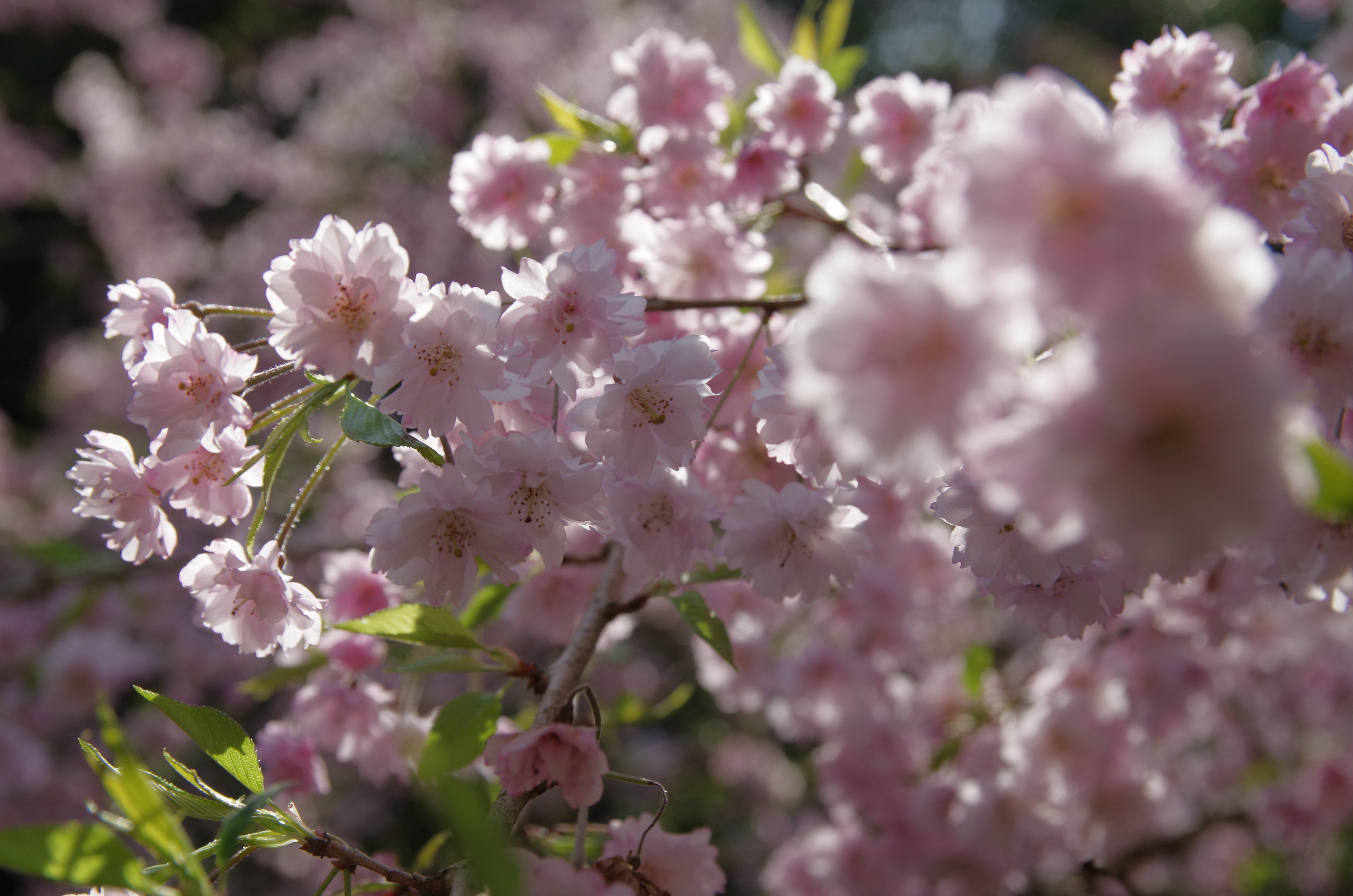
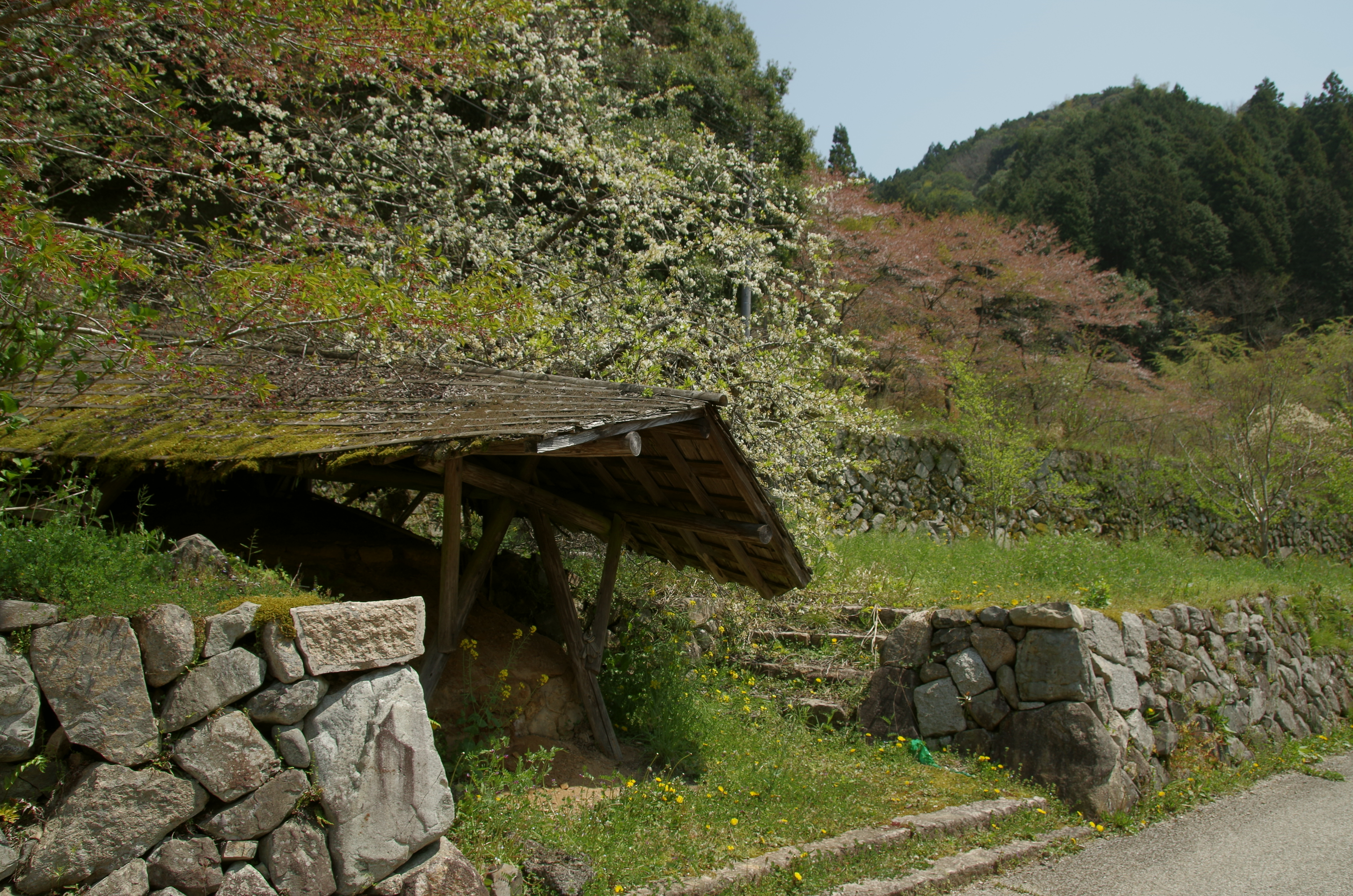
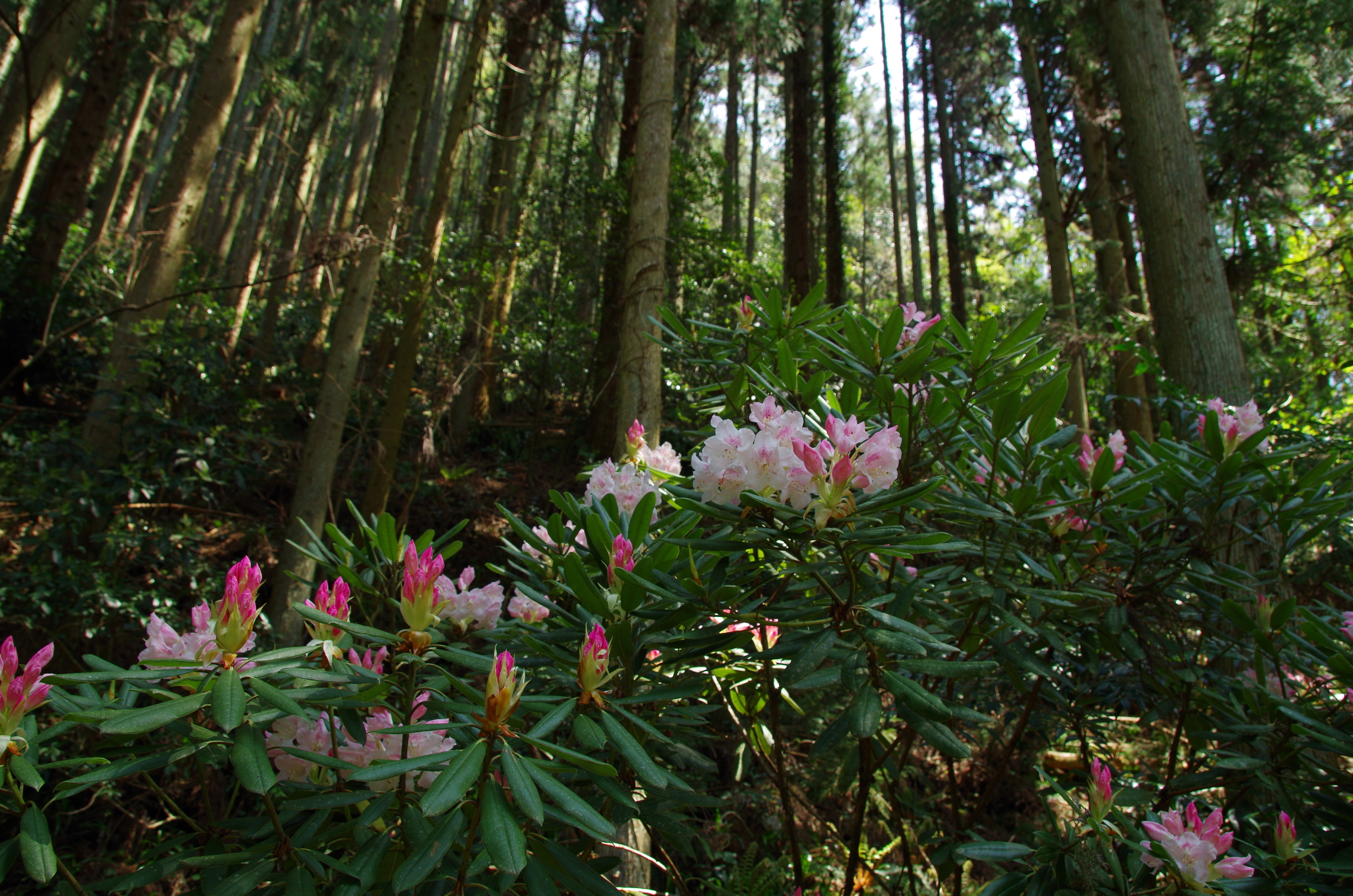
重源の里
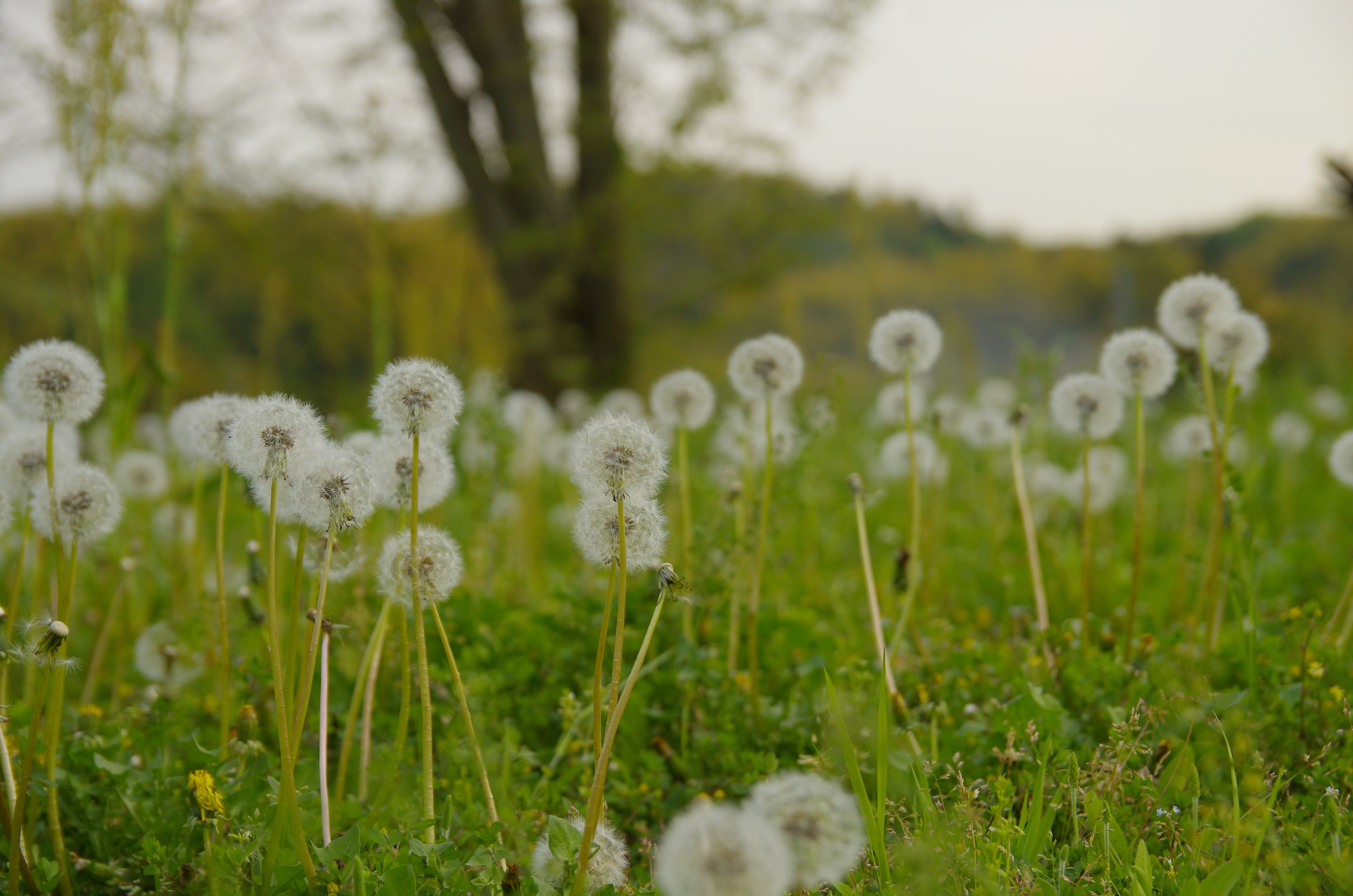
ご近所
キャブセッティングかな?エンジンが温まると、アイドリングしなくなります。かぶってるようです。高回転は調子いいんですが…。トラブルのお陰で、いい勉強になります。

2014-10-19_11-47-56

焼き栗うまい!ψ(`∇´)ψうまいよ!
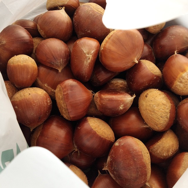
栗ひろった!
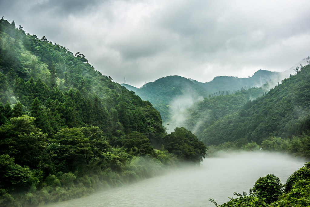
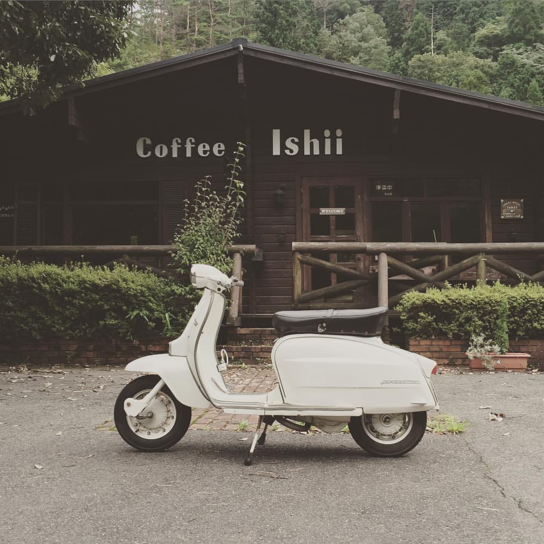
Misty River.

広島ホームテレビの取材がありました。渡辺さん、松本さん、テレビで見るのと同じでとても自然な、楽しい方でした〜(^з^)-☆
IMG_7131.JPG
IMG_7130.JPG
IMG_7129.JPG

IMG_7119.JPG
重源の里
重源の里

重源の里
重源の里
重源の里
重源の里

重源の里
重源の里
重源の里
重源の里
Topographic Map of Nishikimachisugawa, Iwakuni-shi, Yamaguchi-ken -, Japan
Find elevation by address:

Places near Nishikimachisugawa, Iwakuni-shi, Yamaguchi-ken -, Japan:
Hongōmachi Nishikurozawa, Iwakuni-shi, Yamaguchi-ken -, Japan
Nishikimachisugawa, Iwakuni-shi, Yamaguchi-ken -, Japan
Nishikimachisugawa, Iwakuni-shi, Yamaguchi-ken -, Japan
Nishikimachisugawa, Iwakuni-shi, Yamaguchi-ken -, Japan
Nishikimachifukagawa, Iwakuni-shi, Yamaguchi-ken -, Japan
14 Nishikimachisugawa, Iwakuni-shi, Yamaguchi-ken -, Japan
Nishikimachifukagawa, Iwakuni-shi, Yamaguchi-ken -, Japan
Nishikimachiōbara, Iwakuni-shi, Yamaguchi-ken -, Japan
Tanohara, Yoshika-chō, Kanoashi-gun, Shimane-ken -, Japan
Nishikimachiusagō, Iwakuni-shi, Yamaguchi-ken -, Japan
Kuragi, Yoshika-chō, Kanoashi-gun, Shimane-ken -, Japan
Nishikimachifunotani, Iwakuni-shi, Yamaguchi-ken -, Japan
Nishikimachiōbara, Iwakuni-shi, Yamaguchi-ken -, Japan
Higuchi, Yoshika-chō, Kanoashi-gun, Shimane-ken -, Japan
Kuragi, Yoshika-chō, Kanoashi-gun, Shimane-ken -, Japan
Kurōbara, Yoshika-chō, Kanoashi-gun, Shimane-ken -, Japan
Tanohara, Yoshika-chō, Kanoashi-gun, Shimane-ken -, Japan
Tachigouchi, Yoshika-chō, Kanoashi-gun, Shimane-ken -, Japan
99 Arii, Yoshika-chō, Kanoashi-gun, Shimane-ken -, Japan
Nishikimachiusagō, Iwakuni-shi, Yamaguchi-ken -, Japan
Recent Searches:
- Elevation map of Greenland, Greenland
- Elevation of Sullivan Hill, New York, New York, 10002, USA
- Elevation of Morehead Road, Withrow Downs, Charlotte, Mecklenburg County, North Carolina, 28262, USA
- Elevation of 2800, Morehead Road, Withrow Downs, Charlotte, Mecklenburg County, North Carolina, 28262, USA
- Elevation of Yangbi Yi Autonomous County, Yunnan, China
- Elevation of Pingpo, Yangbi Yi Autonomous County, Yunnan, China
- Elevation of Mount Malong, Pingpo, Yangbi Yi Autonomous County, Yunnan, China
- Elevation map of Yongping County, Yunnan, China
- Elevation of North 8th Street, Palatka, Putnam County, Florida, 32177, USA
- Elevation of 107, Big Apple Road, East Palatka, Putnam County, Florida, 32131, USA
- Elevation of Jiezi, Chongzhou City, Sichuan, China
- Elevation of Chongzhou City, Sichuan, China
- Elevation of Huaiyuan, Chongzhou City, Sichuan, China
- Elevation of Qingxia, Chengdu, Sichuan, China
- Elevation of Corso Fratelli Cairoli, 35, Macerata MC, Italy
- Elevation of Tallevast Rd, Sarasota, FL, USA
- Elevation of 4th St E, Sonoma, CA, USA
- Elevation of Black Hollow Rd, Pennsdale, PA, USA
- Elevation of Oakland Ave, Williamsport, PA, USA
- Elevation of Pedrógão Grande, Portugal