Elevation of Kurōbara, Yoshika-chō, Kanoashi-gun, Shimane-ken -, Japan
Location: Japan > Shimane Prefecture > Kanoashi District > Yoshika >
Longitude: 131.960080
Latitude: 34.357782
Elevation: 337m / 1106feet
Barometric Pressure: 97KPa
Elevation Map:
Satellite Map:
Related Photos:
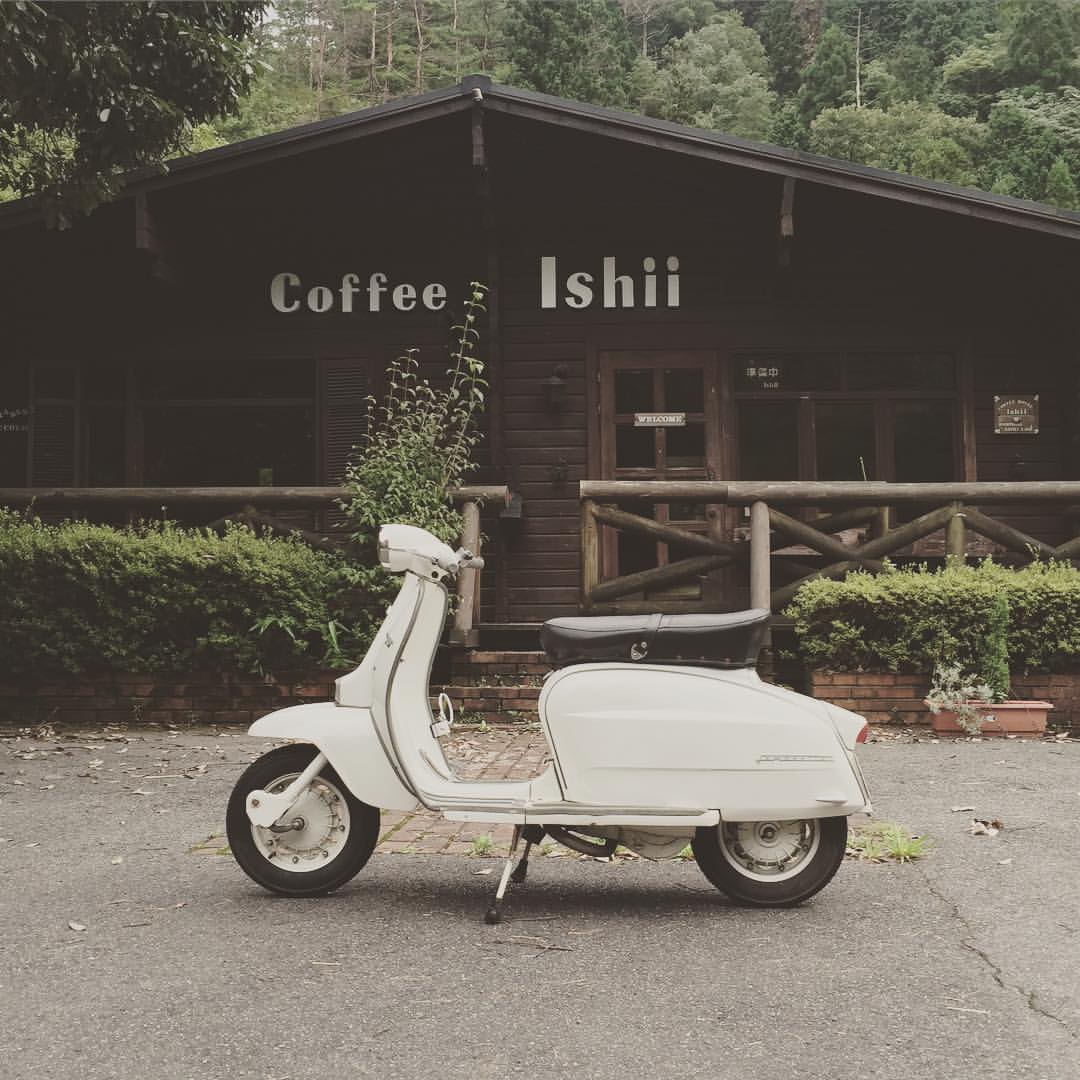
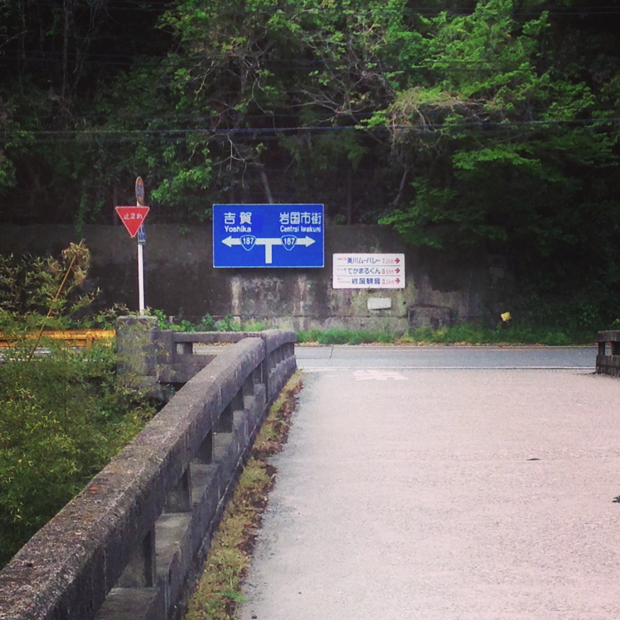
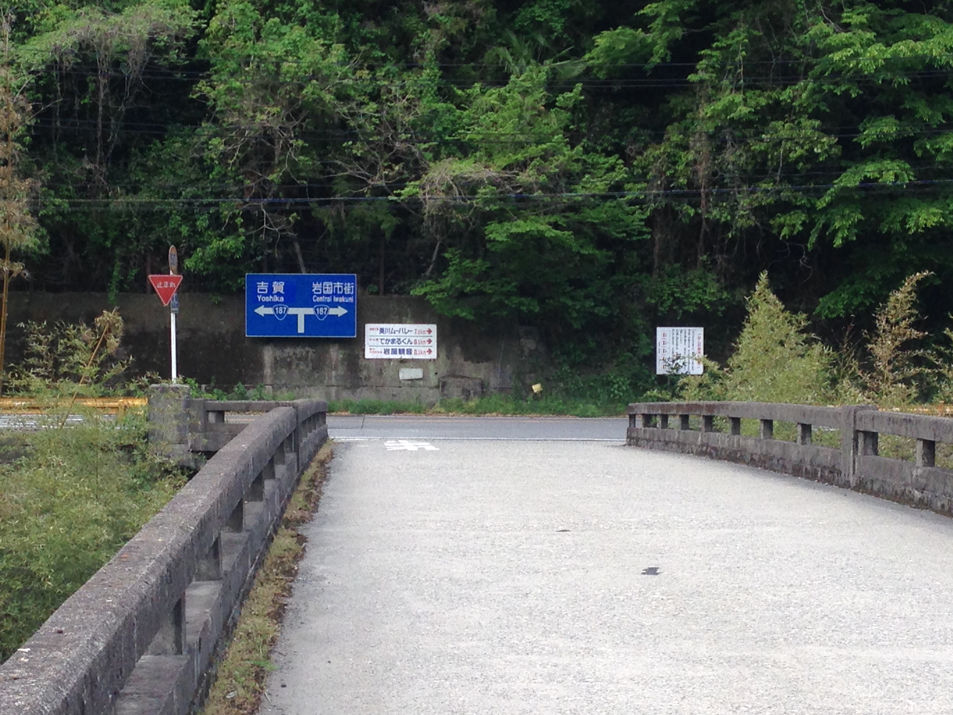
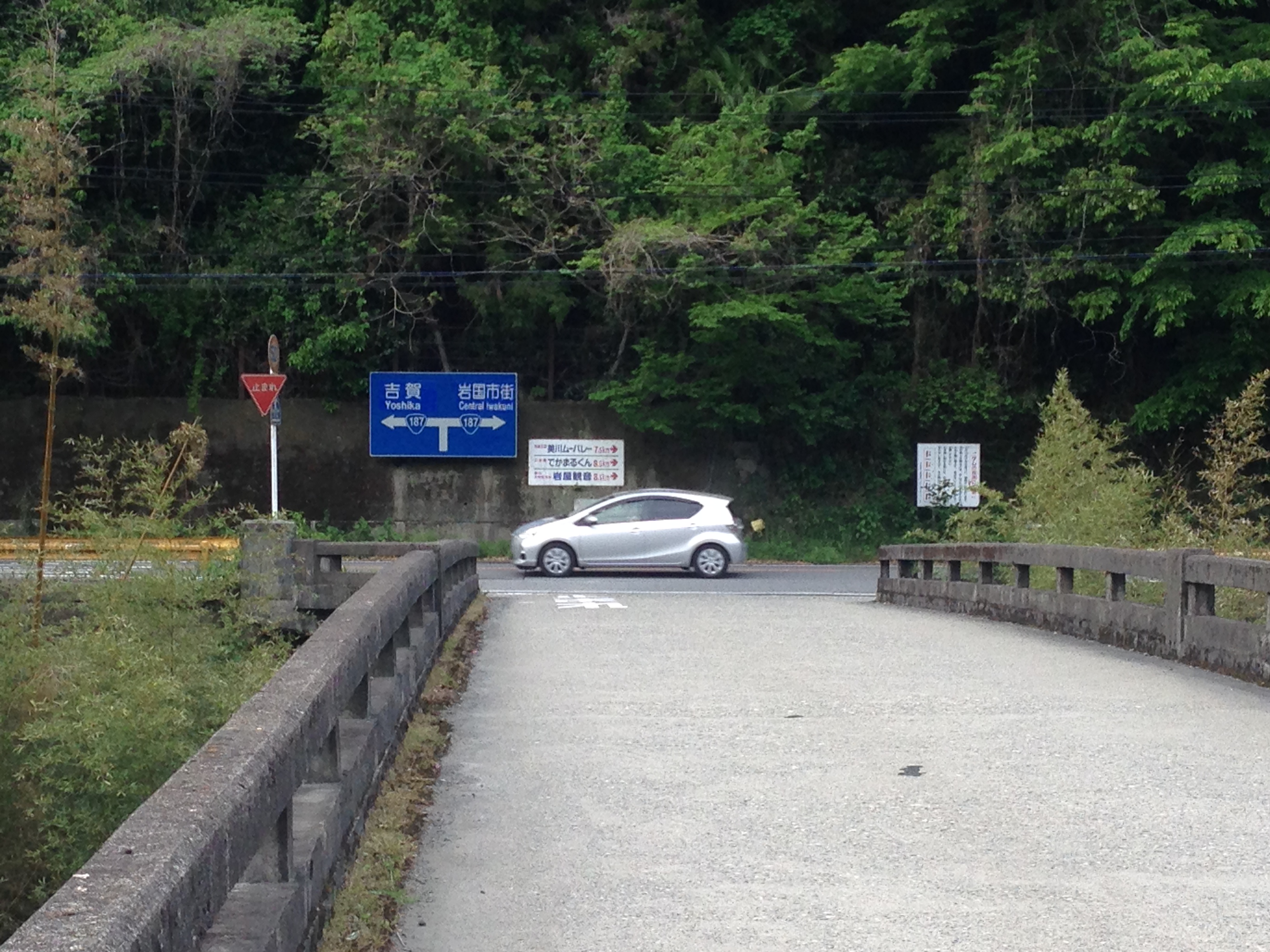
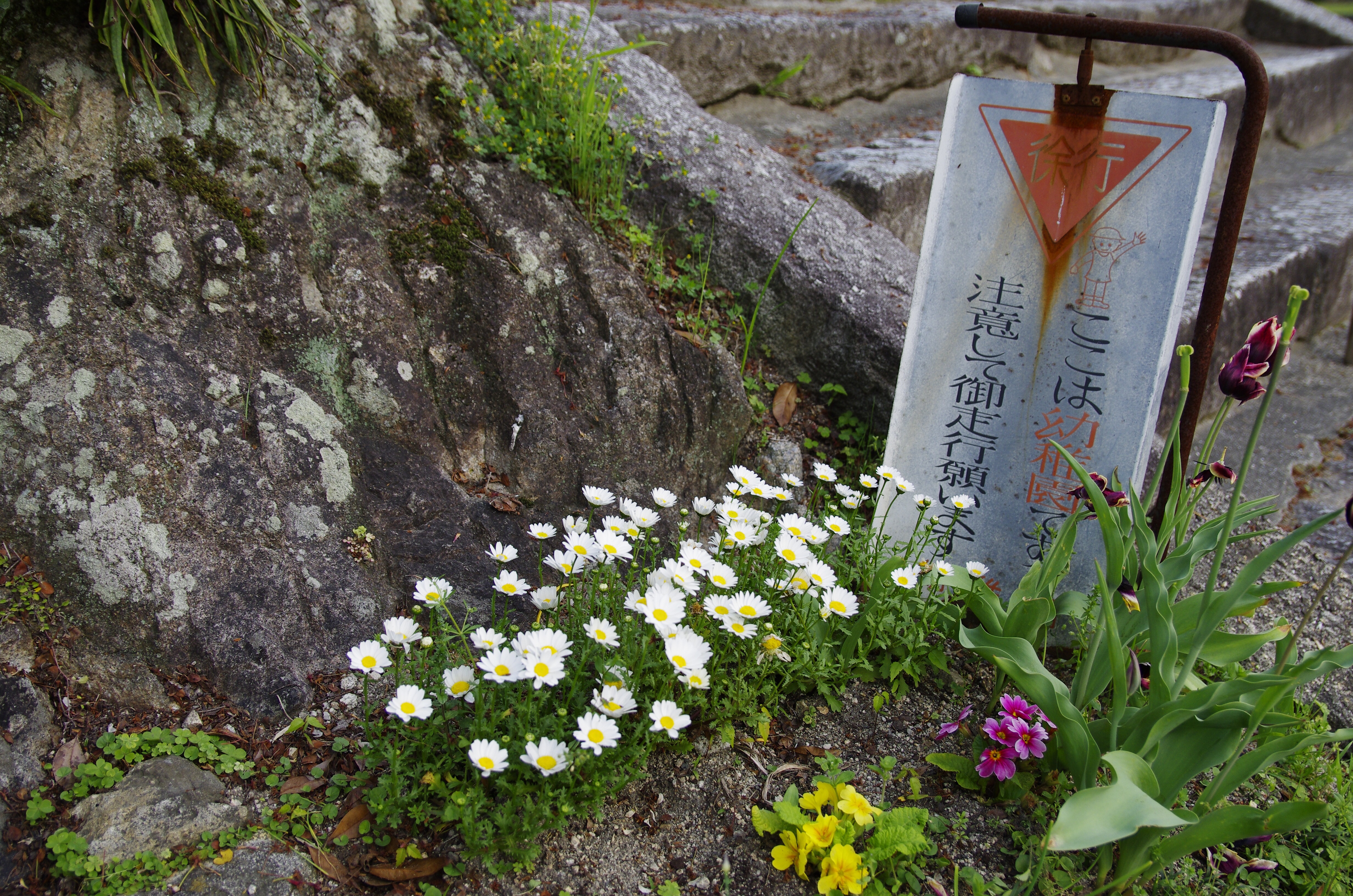
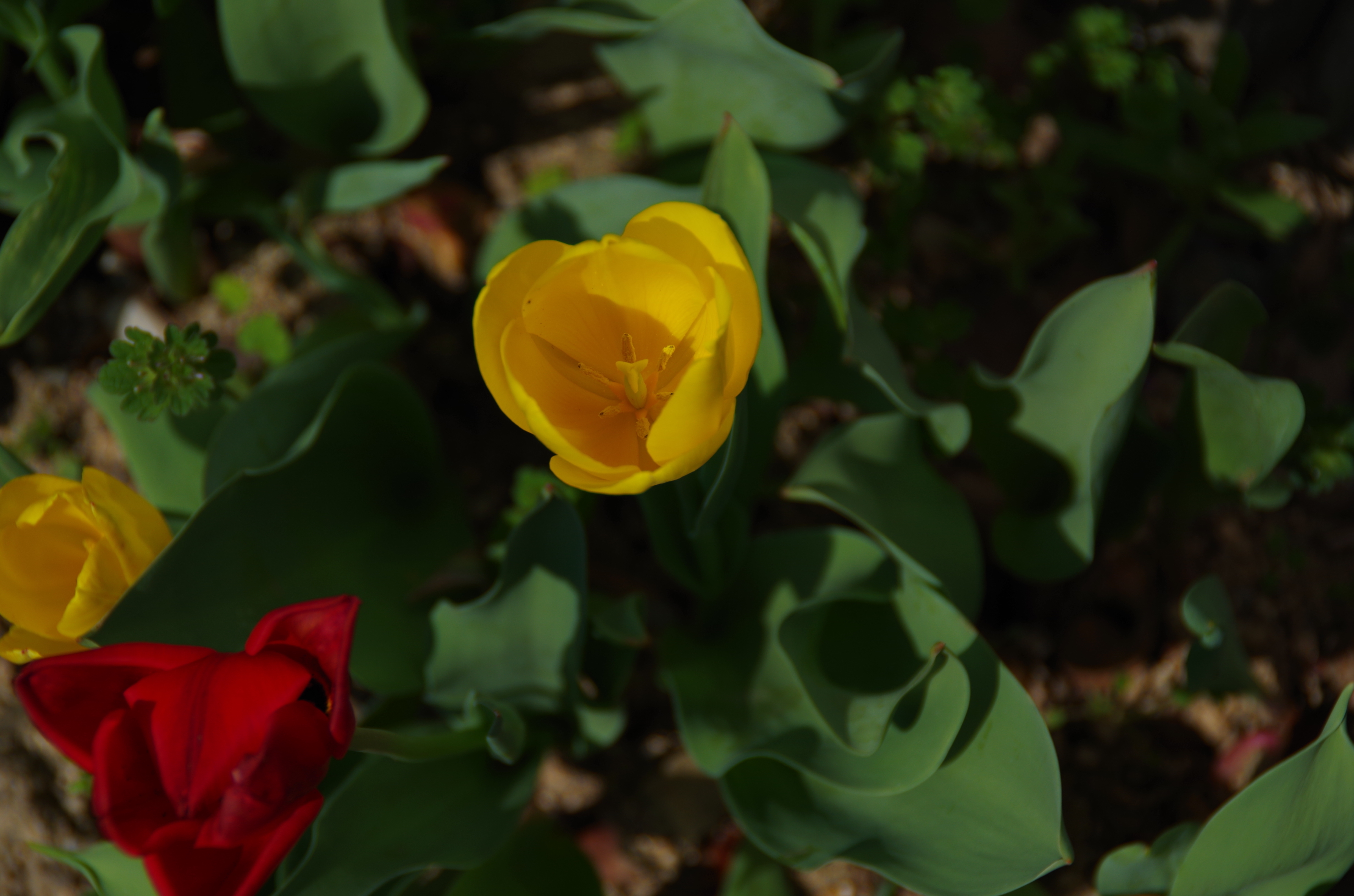
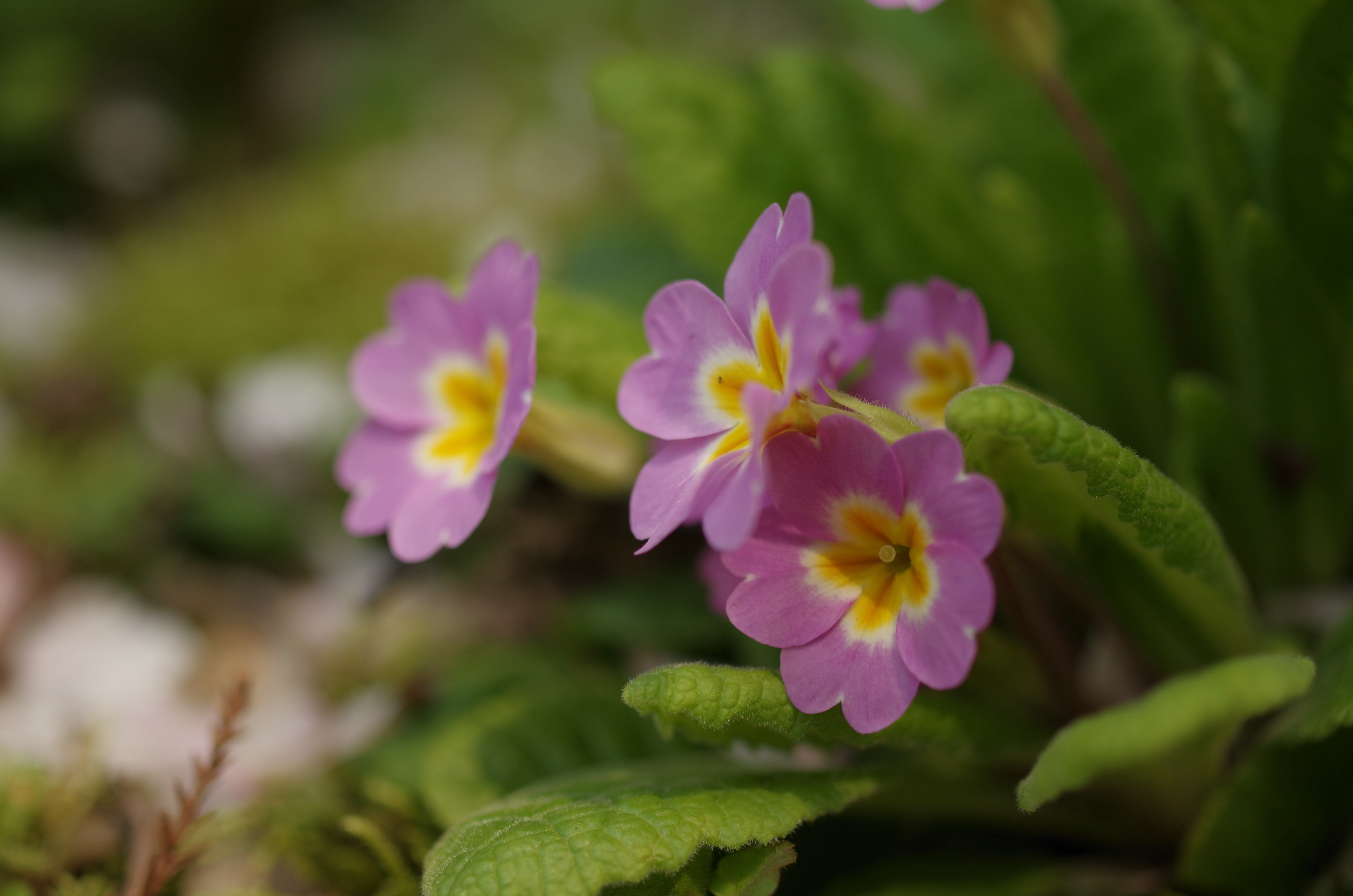
ご近所
重源の里
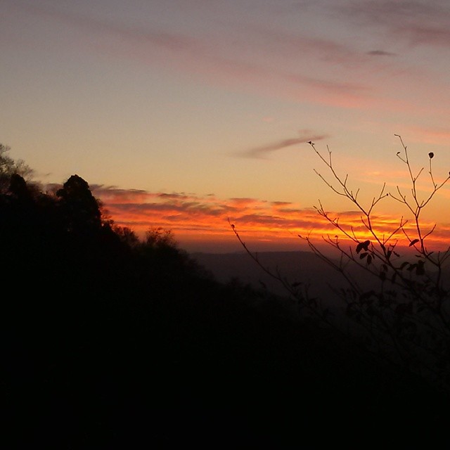
現場帰りの山の夕焼け。 もっと早く気付けば、絶景だったんじゃけどな!
IMG_7119.JPG

Keiko Miyake
キャブセッティングかな?エンジンが温まると、アイドリングしなくなります。かぶってるようです。高回転は調子いいんですが…。トラブルのお陰で、いい勉強になります。
Yamaguchi 2011

広島ホームテレビの取材がありました。渡辺さん、松本さん、テレビで見るのと同じでとても自然な、楽しい方でした〜(^з^)-☆
IMG_7131.JPG
IMG_7130.JPG
IMG_7129.JPG
ご近所
ご近所
ご近所
ご近所
ご近所
ご近所
ご近所
重源の里
重源の里
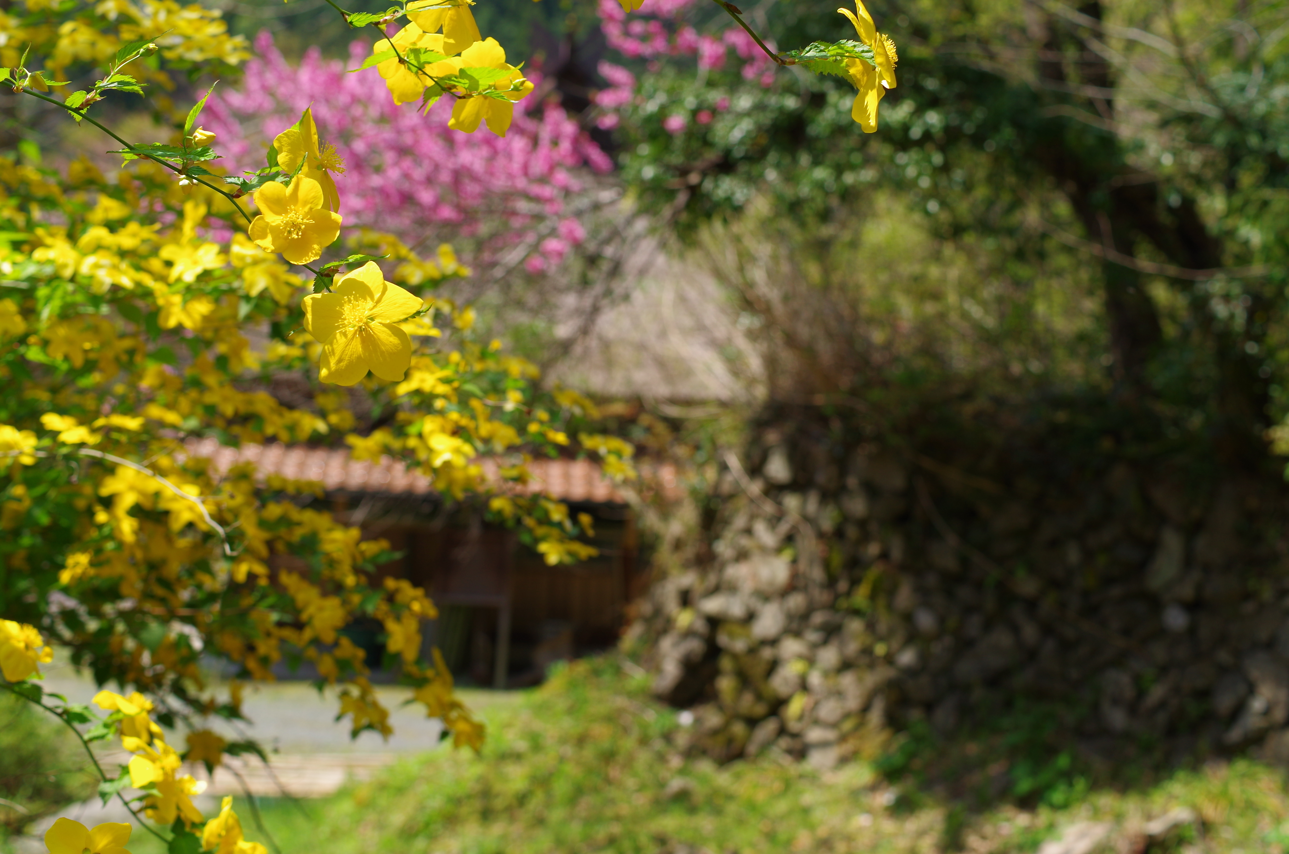
重源の里
Topographic Map of Kurōbara, Yoshika-chō, Kanoashi-gun, Shimane-ken -, Japan
Find elevation by address:

Places near Kurōbara, Yoshika-chō, Kanoashi-gun, Shimane-ken -, Japan:
99 Arii, Yoshika-chō, Kanoashi-gun, Shimane-ken -, Japan
Kuragi, Yoshika-chō, Kanoashi-gun, Shimane-ken -, Japan
Tachigouchi, Yoshika-chō, Kanoashi-gun, Shimane-ken -, Japan
Kuragi, Yoshika-chō, Kanoashi-gun, Shimane-ken -, Japan
90 Kōji, Yoshika-chō, Kanoashi-gun, Shimane-ken -, Japan
Muikaichi, Yoshika-chō, Kanoashi-gun, Shimane-ken -, Japan
Higuchi, Yoshika-chō, Kanoashi-gun, Shimane-ken -, Japan
Hiroishi, Yoshika-chō, Kanoashi-gun, Shimane-ken -, Japan
Sawada, Yoshika-chō, Kanoashi-gun, Shimane-ken -, Japan
Nishikimachisugawa, Iwakuni-shi, Yamaguchi-ken -, Japan
Tanohara, Yoshika-chō, Kanoashi-gun, Shimane-ken -, Japan
Nishikimachisugawa, Iwakuni-shi, Yamaguchi-ken -, Japan
Tachido, Yoshika-chō, Kanoashi-gun, Shimane-ken -, Japan
Nishikimachifukagawa, Iwakuni-shi, Yamaguchi-ken -, Japan
Nishikimachifukagawa, Iwakuni-shi, Yamaguchi-ken -, Japan
14 Nishikimachisugawa, Iwakuni-shi, Yamaguchi-ken -, Japan
Tachido, Yoshika-chō, Kanoashi-gun, Shimane-ken -, Japan
Tanohara, Yoshika-chō, Kanoashi-gun, Shimane-ken -, Japan
Nishikimachisugawa, Iwakuni-shi, Yamaguchi-ken -, Japan
Shimegawa, Yoshika-chō, Kanoashi-gun, Shimane-ken -, Japan
Recent Searches:
- Elevation of Corso Fratelli Cairoli, 35, Macerata MC, Italy
- Elevation of Tallevast Rd, Sarasota, FL, USA
- Elevation of 4th St E, Sonoma, CA, USA
- Elevation of Black Hollow Rd, Pennsdale, PA, USA
- Elevation of Oakland Ave, Williamsport, PA, USA
- Elevation of Pedrógão Grande, Portugal
- Elevation of Klee Dr, Martinsburg, WV, USA
- Elevation of Via Roma, Pieranica CR, Italy
- Elevation of Tavkvetili Mountain, Georgia
- Elevation of Hartfords Bluff Cir, Mt Pleasant, SC, USA