Elevation of Nijōmasue, Itoshima-shi, Fukuoka-ken -, Japan
Location: Japan > Fukuoka Prefecture > Itoshima >
Longitude: 130.152248
Latitude: 33.5341634
Elevation: 46m / 151feet
Barometric Pressure: 101KPa
Elevation Map:
Satellite Map:
Related Photos:

080727-1931
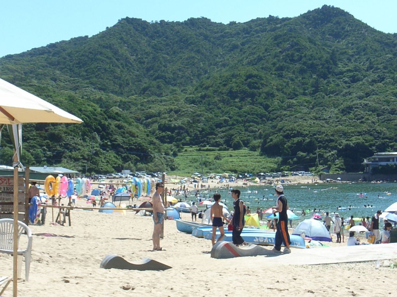
Keya Beach side view
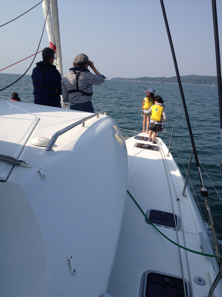
enjoying the view

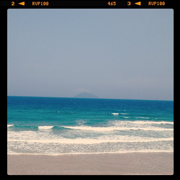
Seaside view
波あるけど、風MAX!

My road by the sea
Afternoon Delight

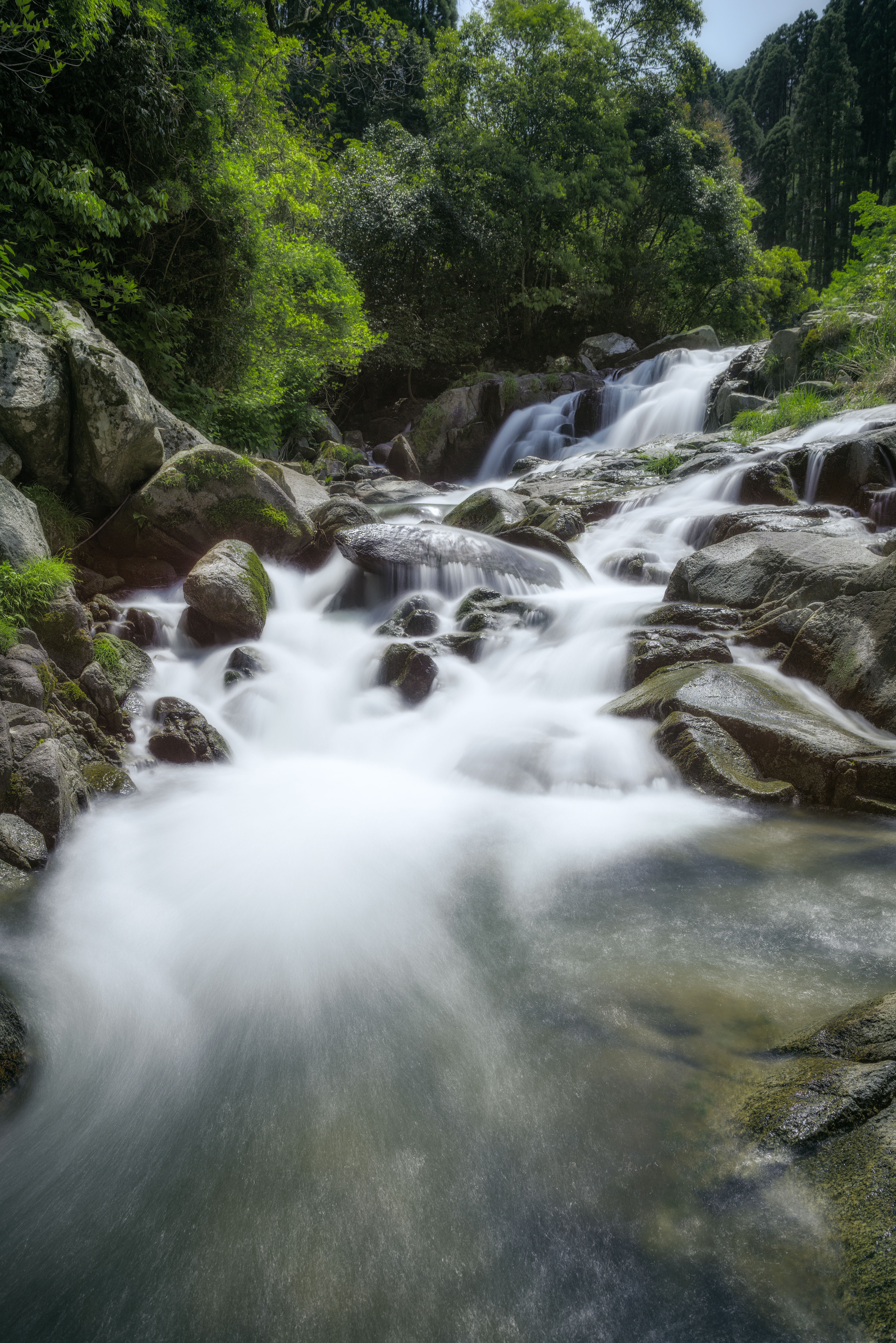
Nagano River

寒いくらい〜〜〜っ!
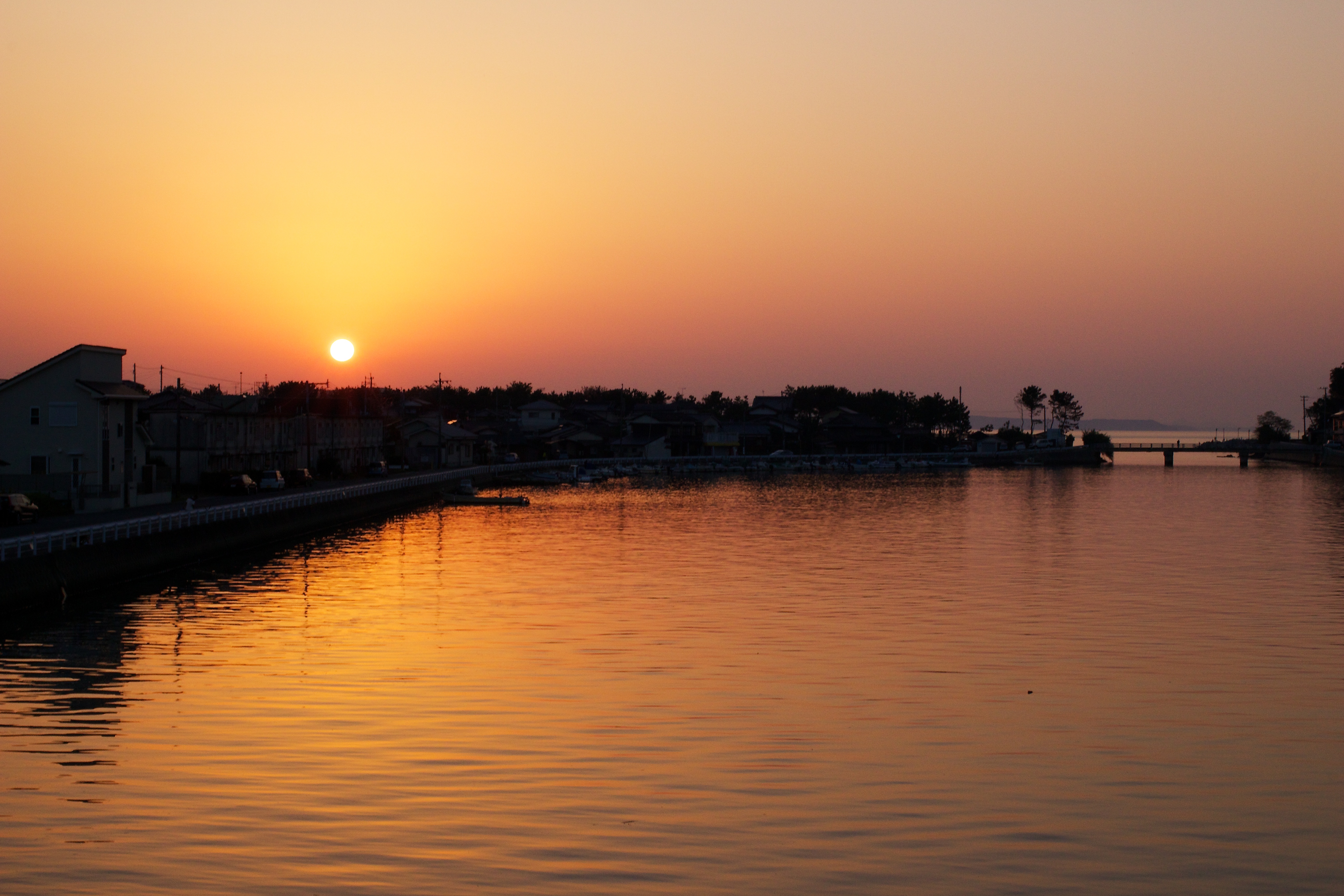
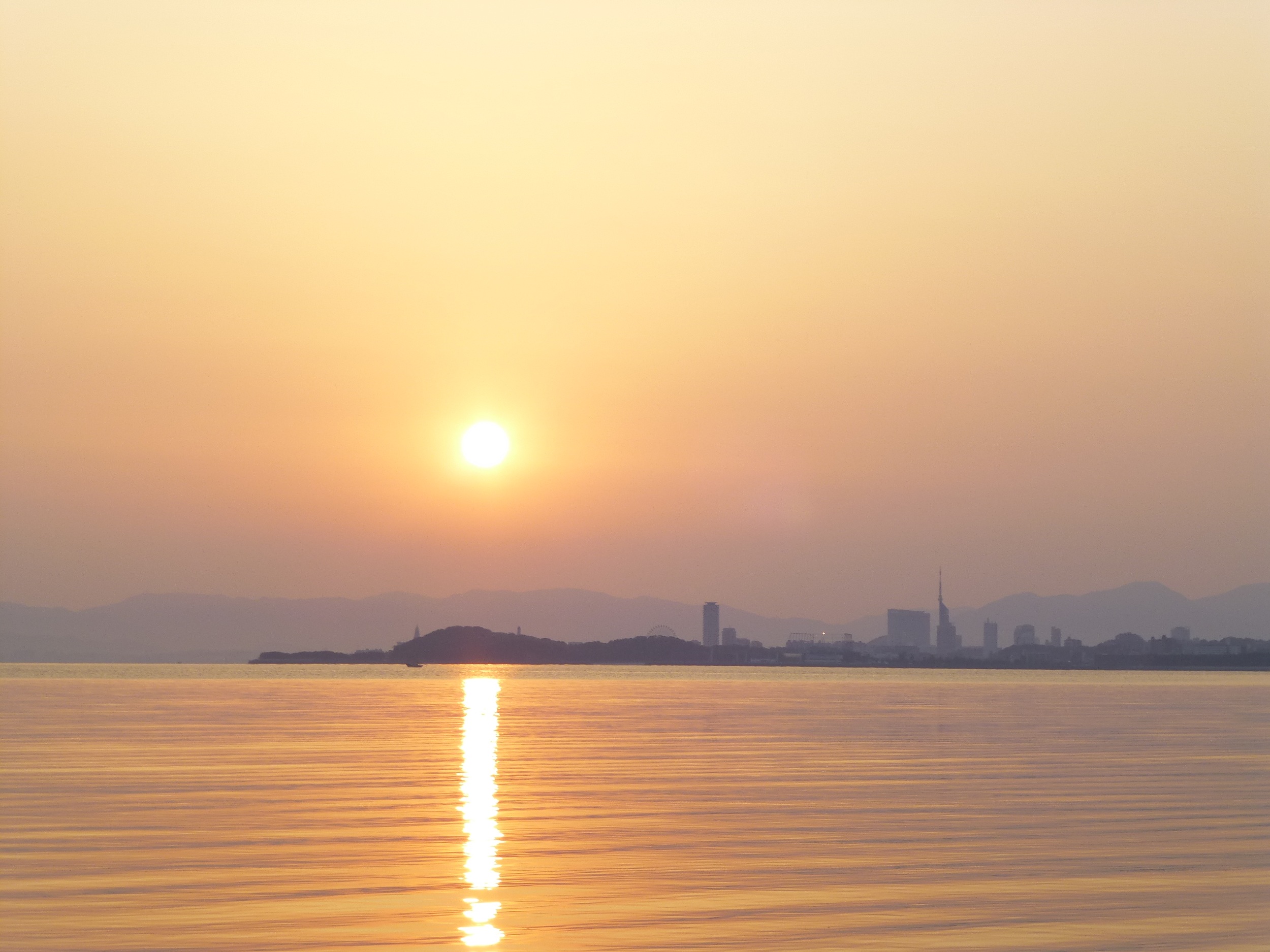
糸島の夕日

Like birds
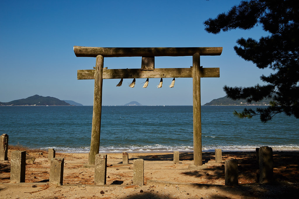
Gate at the Iki Shrine

Summer flowers
JR 九州

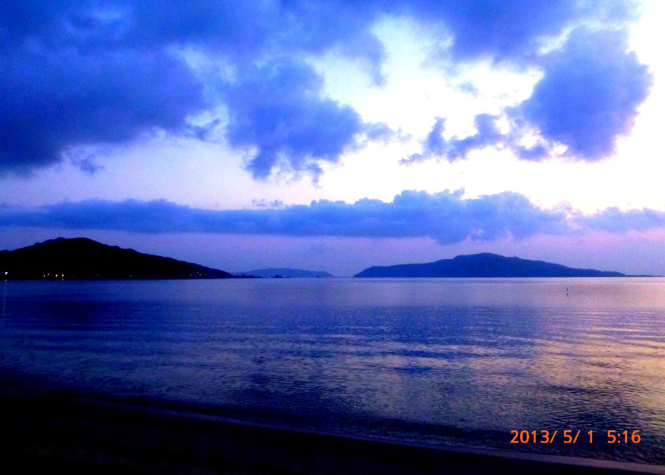
Usual evening
ポカポカ陽気で入水

雨上がりの秋 After the rain
カメラロール-157
カメラロール-199

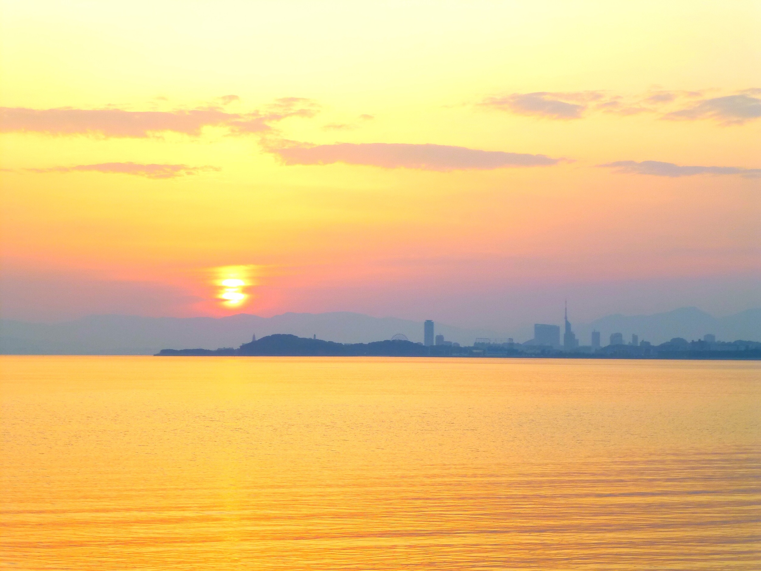
Sunset Around the Corner

Falling into the golden side
カメラロール-186

カメラロール-168
カメラロール-172

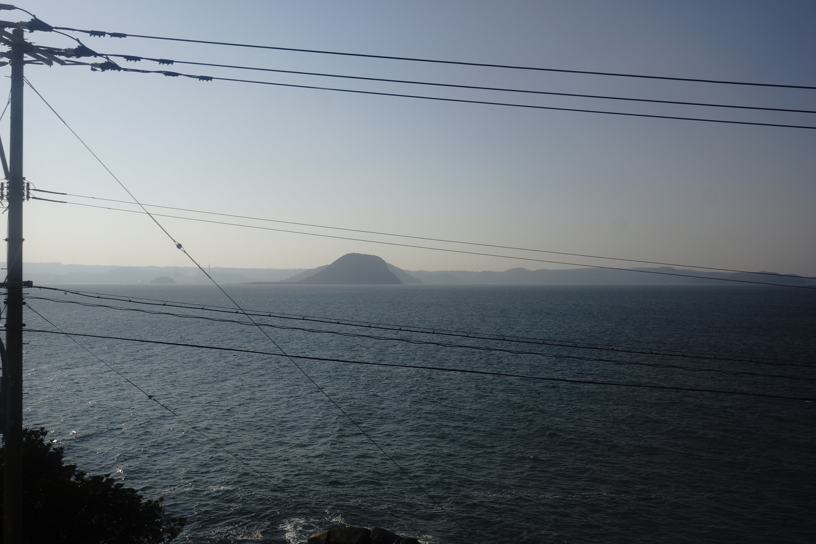
Mt. Kaya
Topographic Map of Nijōmasue, Itoshima-shi, Fukuoka-ken -, Japan
Find elevation by address:

Places near Nijōmasue, Itoshima-shi, Fukuoka-ken -, Japan:
Studio Kura 絵画教室
-7 Higashi, Itoshima-shi, Fukuoka-ken -, Japan
1 Chome-1 Maebarunishi
Itoshima City Hall
Itoshima
Shimahimeshima, Itoshima-shi, Fukuoka-ken -, Japan
Hamatamamachi Taniguchi, Karatsu-shi, Saga-ken -, Japan
Hamatamamachi Minamiyama, Karatsu-shi, Saga-ken -, Japan
-31 Noko, Nishi-ku, Fukuoka-shi, Fukuoka-ken -, Japan
Nokonoshima Island
Nishi Ward
Genkaishima, Nishi-ku, Fukuoka-shi, Fukuoka-ken -, Japan
Kashiwajima, Karatsu-shi, Saga-ken -, Japan
-13 Kagami, Karatsu-shi, Saga-ken -, Japan
8 Chome-13-15 Higashiirube, Sawara-ku, Fukuoka-shi, Fukuoka-ken -, Japan
8 Higashijonai
Karatsu Castle
4-43 Higashijōnai, Karatsu-shi, Saga-ken -, Japan
30-1 Nishiōshimamachi, Karatsu-shi, Saga-ken -, Japan
Sawara Ward
Recent Searches:
- Elevation of Corso Fratelli Cairoli, 35, Macerata MC, Italy
- Elevation of Tallevast Rd, Sarasota, FL, USA
- Elevation of 4th St E, Sonoma, CA, USA
- Elevation of Black Hollow Rd, Pennsdale, PA, USA
- Elevation of Oakland Ave, Williamsport, PA, USA
- Elevation of Pedrógão Grande, Portugal
- Elevation of Klee Dr, Martinsburg, WV, USA
- Elevation of Via Roma, Pieranica CR, Italy
- Elevation of Tavkvetili Mountain, Georgia
- Elevation of Hartfords Bluff Cir, Mt Pleasant, SC, USA