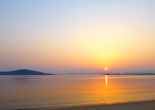
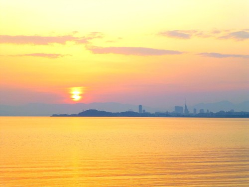
Elevation of -7 Higashi, Itoshima-shi, Fukuoka-ken -, Japan
Location: Japan > Fukuoka Prefecture > Itoshima >
Longitude: 130.178931
Latitude: 33.5320033
Elevation: 8m / 26feet
Barometric Pressure: 101KPa
Related Photos:
Topographic Map of -7 Higashi, Itoshima-shi, Fukuoka-ken -, Japan
Find elevation by address:

Places near -7 Higashi, Itoshima-shi, Fukuoka-ken -, Japan:
Studio Kura 絵画教室
Nijōmasue, Itoshima-shi, Fukuoka-ken -, Japan
1 Chome-1 Maebarunishi
Itoshima City Hall
Itoshima
Shimahimeshima, Itoshima-shi, Fukuoka-ken -, Japan
Hamatamamachi Taniguchi, Karatsu-shi, Saga-ken -, Japan
Hamatamamachi Minamiyama, Karatsu-shi, Saga-ken -, Japan
Nishi Ward
-31 Noko, Nishi-ku, Fukuoka-shi, Fukuoka-ken -, Japan
Nokonoshima Island
8 Chome-13-15 Higashiirube, Sawara-ku, Fukuoka-shi, Fukuoka-ken -, Japan
Genkaishima, Nishi-ku, Fukuoka-shi, Fukuoka-ken -, Japan
Sawara Ward
15-1 Sohara, Sawara-ku, Fukuoka-shi, Fukuoka-ken -, Japan
-13 Kagami, Karatsu-shi, Saga-ken -, Japan
Kashiwajima, Karatsu-shi, Saga-ken -, Japan
1 Chome-11-17 Terukuni, Chūō-ku, Fukuoka-shi, Fukuoka-ken -, Japan
1 Chome-19-2 Saitozaki, Higashi-ku, Fukuoka-shi, Fukuoka-ken -, Japan
8 Higashijonai
Recent Searches:
- Elevation of Corso Fratelli Cairoli, 35, Macerata MC, Italy
- Elevation of Tallevast Rd, Sarasota, FL, USA
- Elevation of 4th St E, Sonoma, CA, USA
- Elevation of Black Hollow Rd, Pennsdale, PA, USA
- Elevation of Oakland Ave, Williamsport, PA, USA
- Elevation of Pedrógão Grande, Portugal
- Elevation of Klee Dr, Martinsburg, WV, USA
- Elevation of Via Roma, Pieranica CR, Italy
- Elevation of Tavkvetili Mountain, Georgia
- Elevation of Hartfords Bluff Cir, Mt Pleasant, SC, USA
