Elevation of Niederranschütz, Großweitzschen, Germany
Location: Germany > Saxony > Chemnitz > Großweitzschen >
Longitude: 13.1182162
Latitude: 51.1609348
Elevation: 198m / 650feet
Barometric Pressure: 99KPa
Elevation Map:
Satellite Map:
Related Photos:

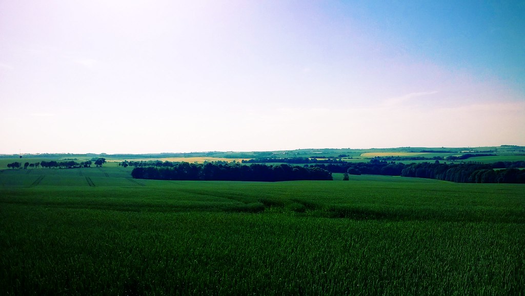
View from the train

update your city

Another view of a Saxon Meyer outside Mügeln shed
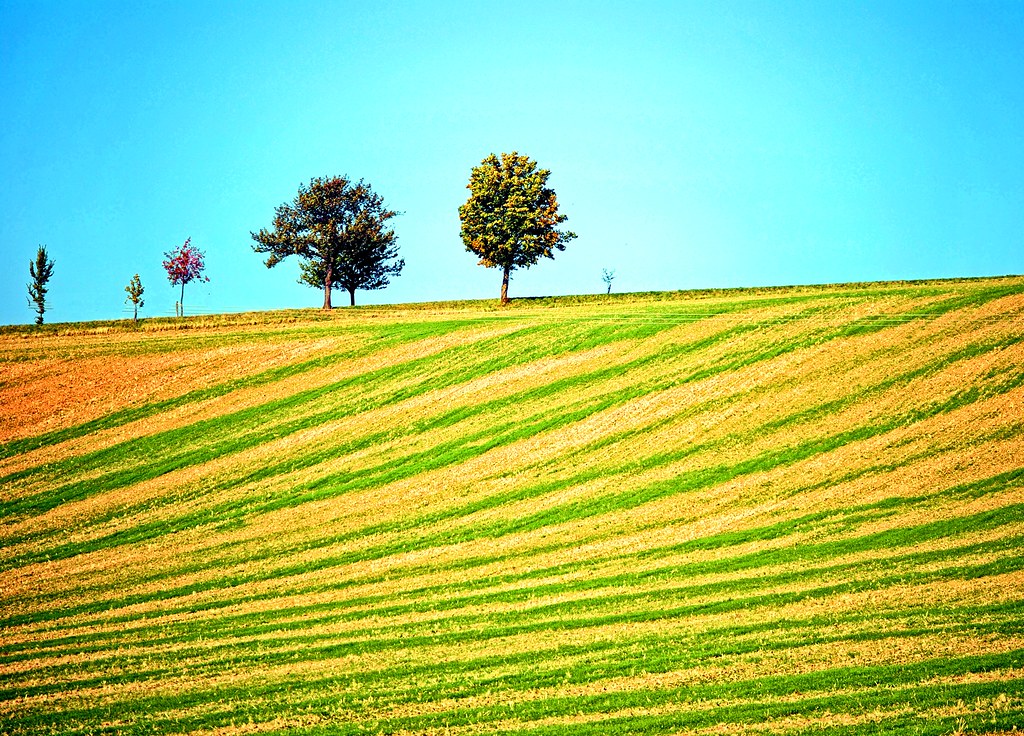
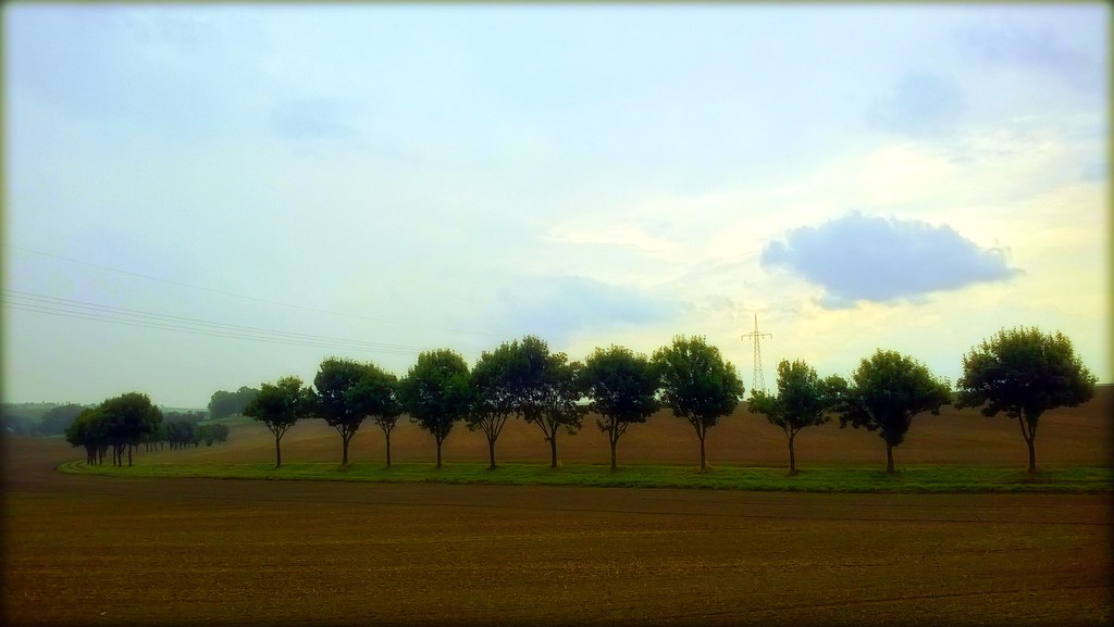
Trees over the top

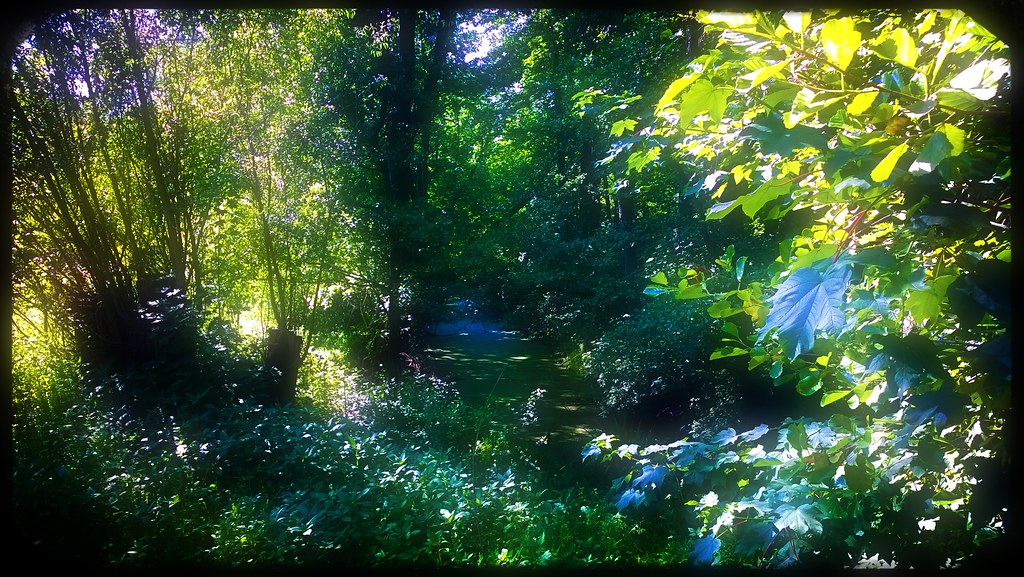
Forest Creation

Burg Kriebstein
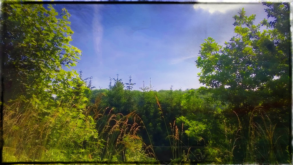
what a wonderful wood
Sunday Afternoon Nu NRG

small stark wood

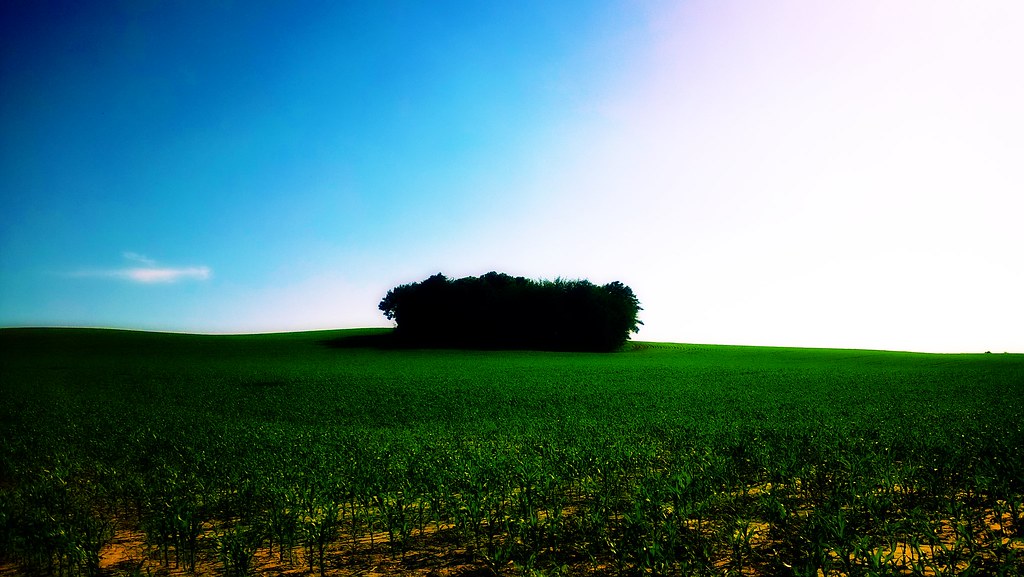
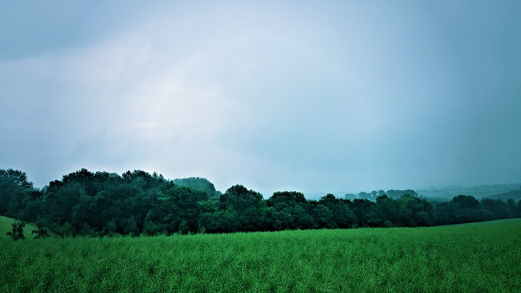
land of the green

freedom steal a ray of sun
small dark wood
there's no feeling at all
what now can never green
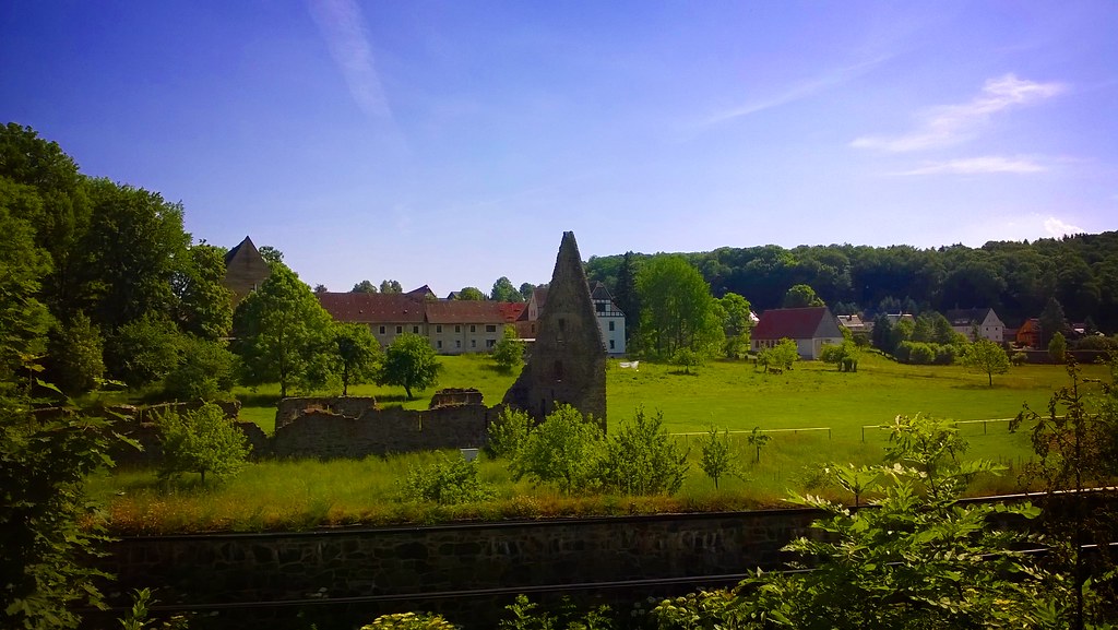
Kloster Buch
everything's gonna get better
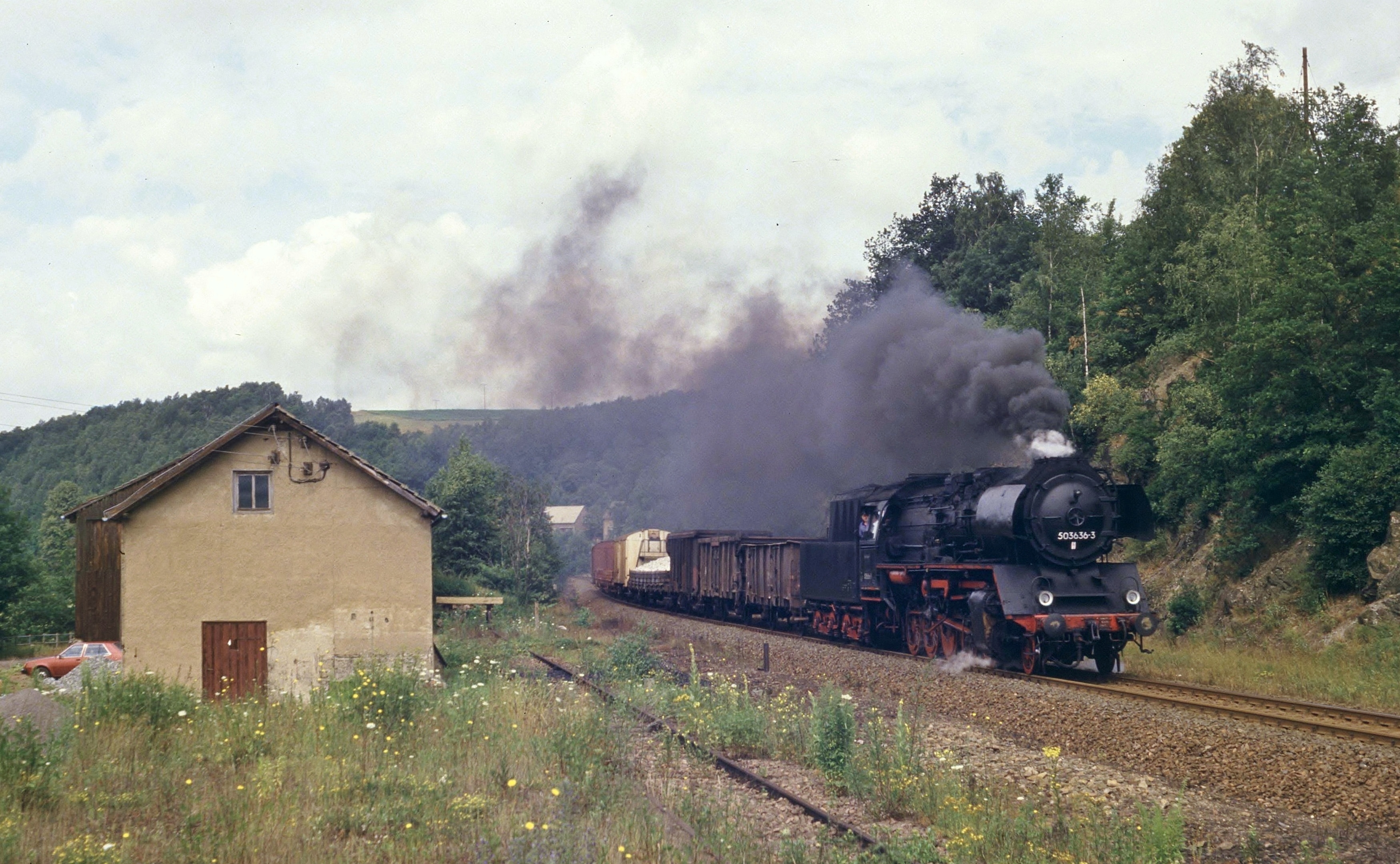
234.19, Gleisberg-Marbach, 6 juli 1986

leaving me the way U did

costituito da un fulmine
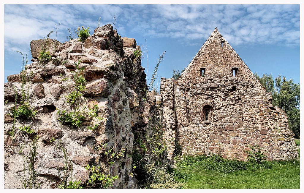
unknown treesure it is then

#Burg #Kriebstein #Sachsen Instagram-Edition
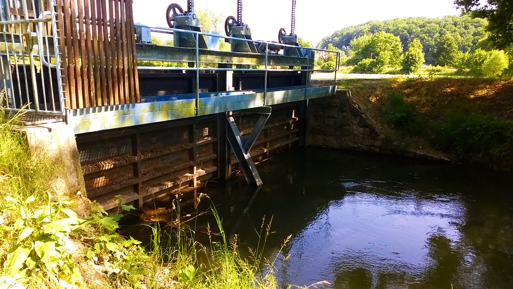
very old machinery

composito da un fulmine
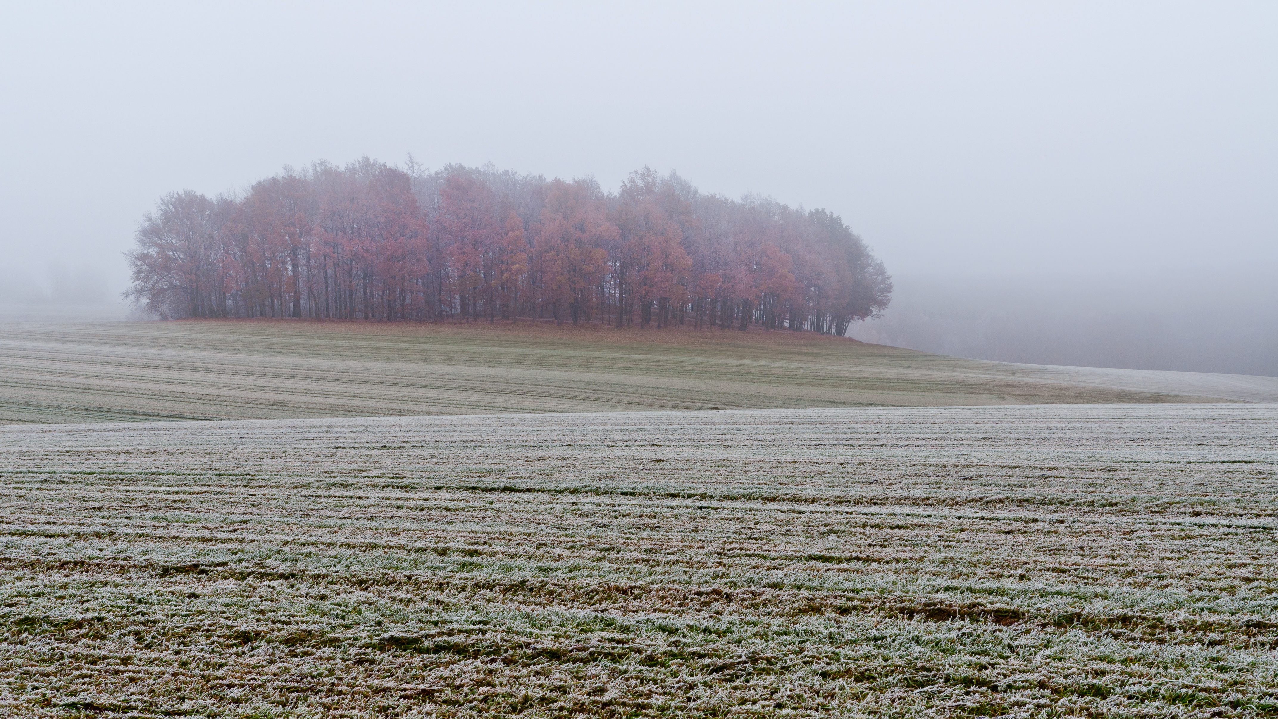
frost, fog and some trees
Topographic Map of Niederranschütz, Großweitzschen, Germany
Find elevation by address:

Places in Niederranschütz, Großweitzschen, Germany:
Places near Niederranschütz, Großweitzschen, Germany:
Niederranschütz 6, Großweitzschen, Germany
Döschütz 10, Großweitzschen, Germany
3b
Tronitz
Oschatzer Str. 1
Ostrau
Zschaitz-ottewig
Großweitzschen
Auterwitz
Auterwitz 1, Zschaitz-Ottewig, Germany
Weichteritz
Oschatzer Str. 8, Naundorf, Germany
Naundorf
18a
Mügeln
Sornzig
Am Steinberg 6, Sornzig-Ablaß, Germany
Berntitz
Berntitz 11, Mügeln, Germany
Stauchitz
Recent Searches:
- Elevation of Corso Fratelli Cairoli, 35, Macerata MC, Italy
- Elevation of Tallevast Rd, Sarasota, FL, USA
- Elevation of 4th St E, Sonoma, CA, USA
- Elevation of Black Hollow Rd, Pennsdale, PA, USA
- Elevation of Oakland Ave, Williamsport, PA, USA
- Elevation of Pedrógão Grande, Portugal
- Elevation of Klee Dr, Martinsburg, WV, USA
- Elevation of Via Roma, Pieranica CR, Italy
- Elevation of Tavkvetili Mountain, Georgia
- Elevation of Hartfords Bluff Cir, Mt Pleasant, SC, USA