Elevation map of Saxony, Germany
Location: Germany >
Longitude: 13.2017384
Latitude: 51.1045407
Elevation: 268m / 879feet
Barometric Pressure: 98KPa
Elevation Map:
Satellite Map:
Related Photos:

View from the train

update your city

Burg Kriebstein
june some twenty years ago

DB 241 338

Burg Kriebstein
like a dream in a summer of energy
Sunday Afternoon Nu NRG

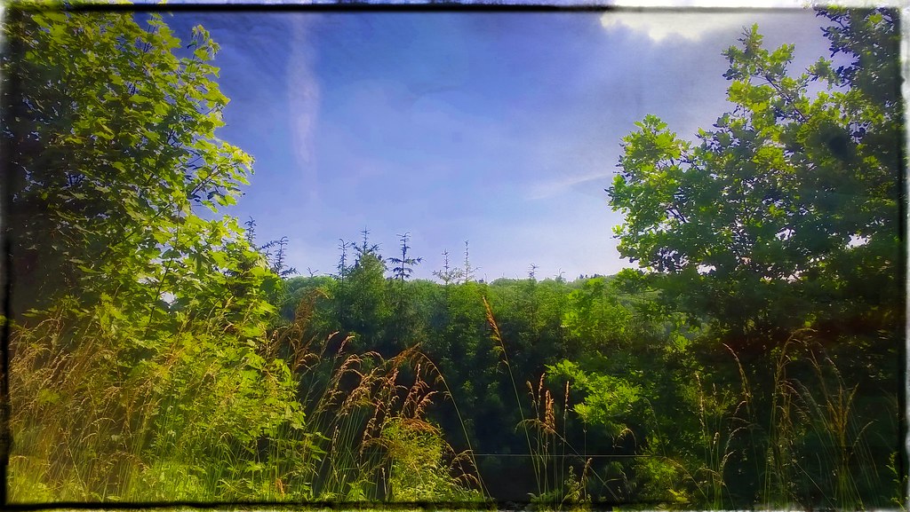
what a wonderful wood

Trees over the top
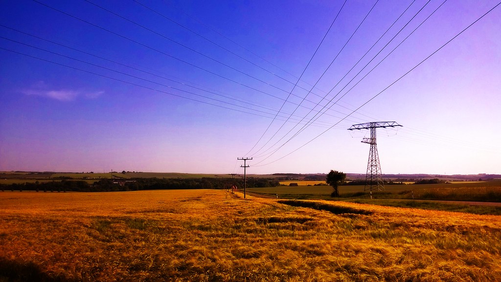
big four
like a stream in a summer of energy

june some twenty years to go

melt to the ocean

small stark wood
won't let the sun

Peaches And Dream All Over The World
to fill my days and nights with something

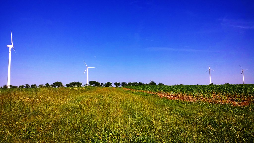
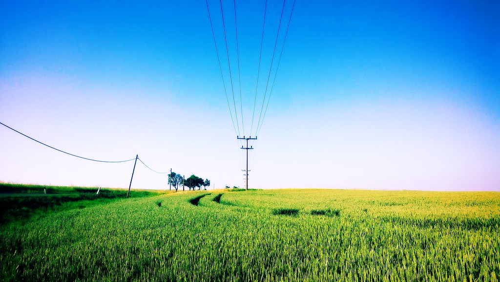
pointing field

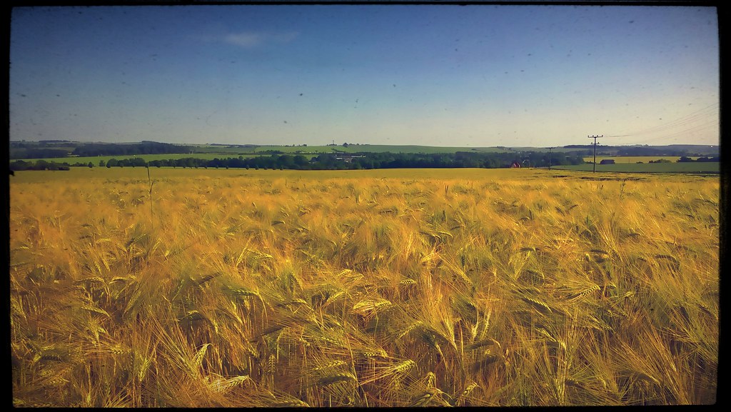
land of the green

Ananda Spirit Festival 2014
painting field
Topographic Map of Saxony, Germany
Find elevation by address:

Places in Saxony, Germany:
Places near Saxony, Germany:
Maltitz
Maltitz 16
Roßwein
Markt 10, Roßwein, Germany
Tiefenbach
Böhrigen
Zella
Str. der Einheit 5, Striegistal, Germany
Klosterpark Altzella
Döbeln
Döbelner Str. 25, Nossen, Germany
Rhäsa
Nossen
Wendischbora
Wendischbora 48, Nossen, Germany
Dorfstraße 39, Großschirma, Germany
Obergruna
Hauptstraße 55, Ziegra-Knobelsdorf, Germany
Limmritz
Kleinprausitz 2, Käbschütztal, Germany
Recent Searches:
- Elevation of Corso Fratelli Cairoli, 35, Macerata MC, Italy
- Elevation of Tallevast Rd, Sarasota, FL, USA
- Elevation of 4th St E, Sonoma, CA, USA
- Elevation of Black Hollow Rd, Pennsdale, PA, USA
- Elevation of Oakland Ave, Williamsport, PA, USA
- Elevation of Pedrógão Grande, Portugal
- Elevation of Klee Dr, Martinsburg, WV, USA
- Elevation of Via Roma, Pieranica CR, Italy
- Elevation of Tavkvetili Mountain, Georgia
- Elevation of Hartfords Bluff Cir, Mt Pleasant, SC, USA