Elevation of Nickerie, Suriname
Location: Suriname > Nickerie District >
Longitude: -57.033698
Latitude: 5.9054653
Elevation: 0m / 0feet
Barometric Pressure: 101KPa
Elevation Map:
Satellite Map:
Related Photos:

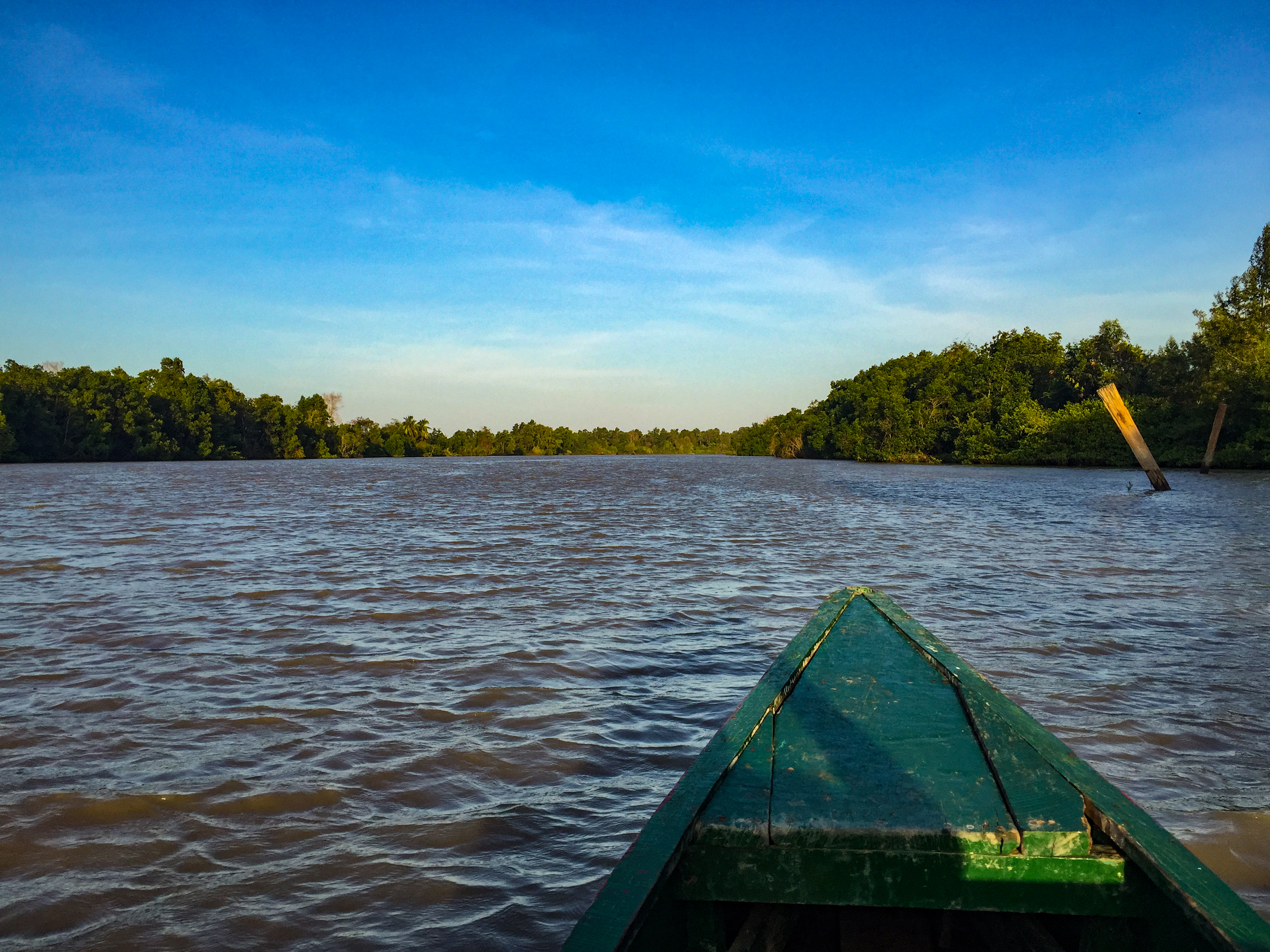
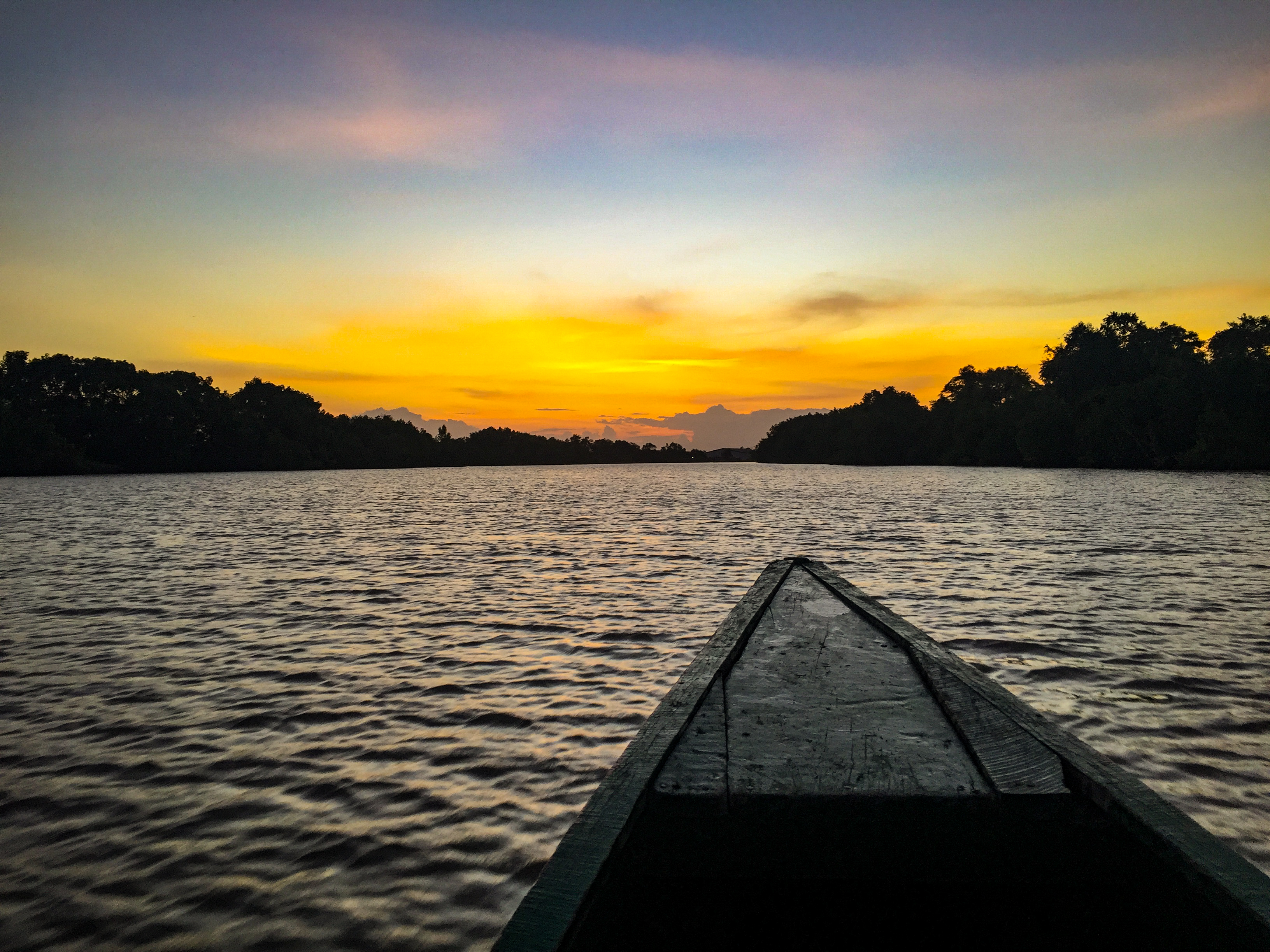
Sidoredjo Nickerie.......morning view

Sidoredjo Nickerie.......morning view

Sidoredjo Nickerie.......morning view

Sidoredjo Nickerie.......morning view

IMG_1979.jpg

The Creek

Rice rice baby!

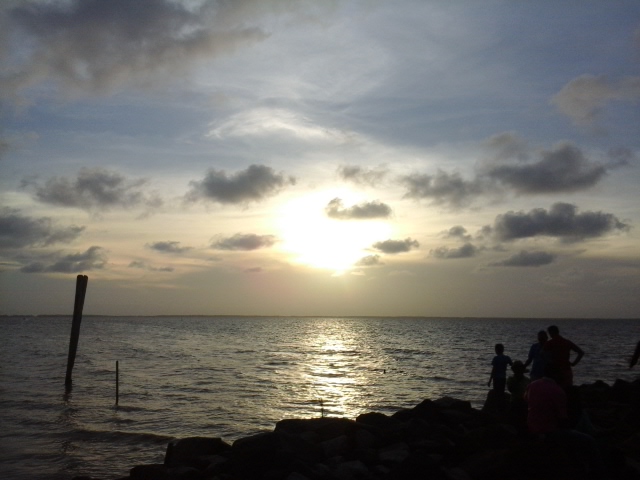
Courantyne shore

Speeltuin en Corantijn strand

Corantijn strand

IMG_2049.jpg

DSC09102.jpg
IMG_1977.jpg

IMG_2049 (Edited).jpg
Speeltuin en Corantijn strand

Speeltuin en Corantijn strand
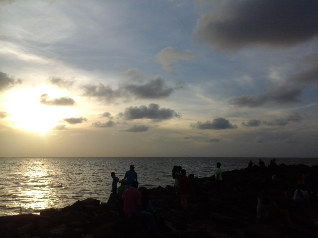
Speeltuin en Corantijn strand

IMG_1980.jpg

IMG_1988.jpg

DSC09092.jpg
IMG_1986.jpg
Topographic Map of Nickerie, Suriname
Find elevation by address:

Places in Nickerie, Suriname:
Places near Nickerie, Suriname:
Recent Searches:
- Elevation of Corso Fratelli Cairoli, 35, Macerata MC, Italy
- Elevation of Tallevast Rd, Sarasota, FL, USA
- Elevation of 4th St E, Sonoma, CA, USA
- Elevation of Black Hollow Rd, Pennsdale, PA, USA
- Elevation of Oakland Ave, Williamsport, PA, USA
- Elevation of Pedrógão Grande, Portugal
- Elevation of Klee Dr, Martinsburg, WV, USA
- Elevation of Via Roma, Pieranica CR, Italy
- Elevation of Tavkvetili Mountain, Georgia
- Elevation of Hartfords Bluff Cir, Mt Pleasant, SC, USA