Elevation of Newbridge Dr, Los Altos Hills, CA, USA
Location: United States > California > Santa Clara County > Los Altos Hills >
Longitude: -122.13275
Latitude: 37.3754168
Elevation: 93m / 305feet
Barometric Pressure: 100KPa
Elevation Map:
Satellite Map:
Related Photos:

sometimes you just need to wet your beak | atherton, ca

What a cute kid :)

IMG_3580 Black-Crowned Night Heron

Juvenile Red-tailed Hawk (Buteo jamaicensis) - Hunting mode (5 of 5)

IMG_8090 Snowy Egret, Mountain View Shoreline Park, CA
Long Walks on Short Piers
Perfect view?
View from the training center.

IMG_1380 Let Me Feed You, Honey.

IMG_2314 Forster's Tern

view from the Palo Alto hills down to the bay.

IMG_0173 Here I Come! Mountain View Shoreline Park, CA

Mary Avenue Bridge
Next To The Adobe
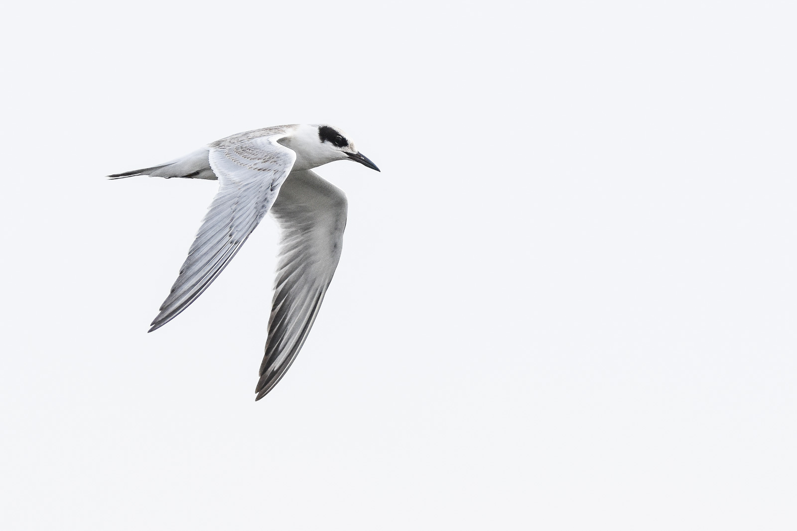
Forster's Tern (1st year)

Northern Harrier-IMG_1671-MV baylands-Crop
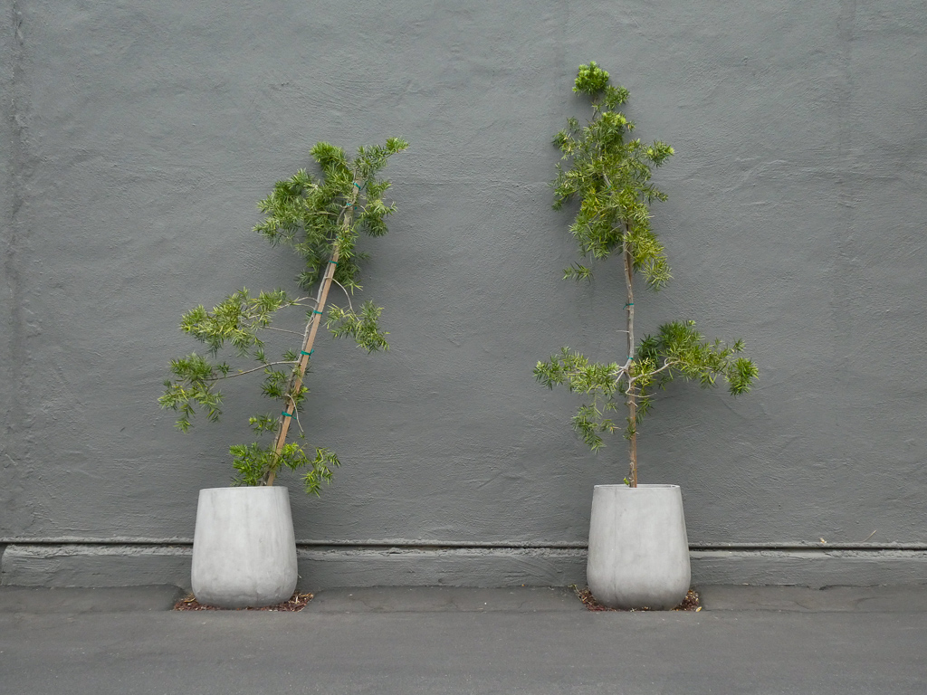
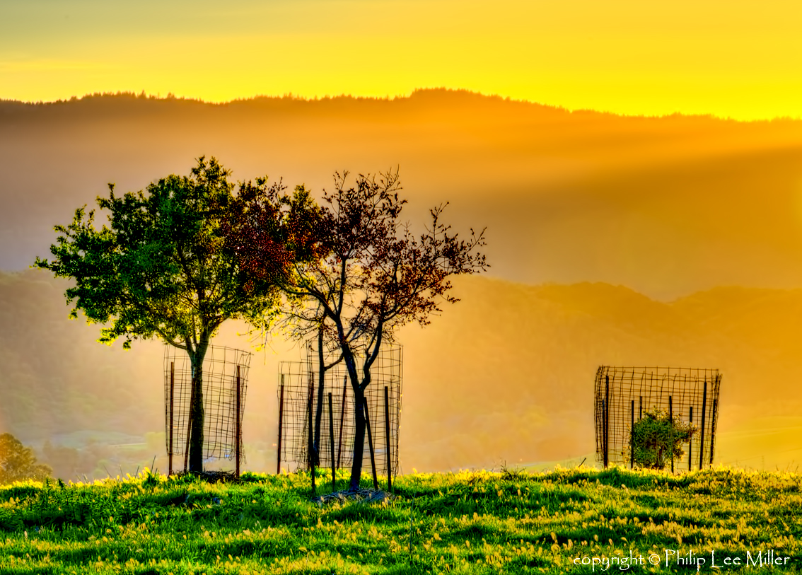
Two Potted Trees

Wire Hooks

Seed Pods

Fish On

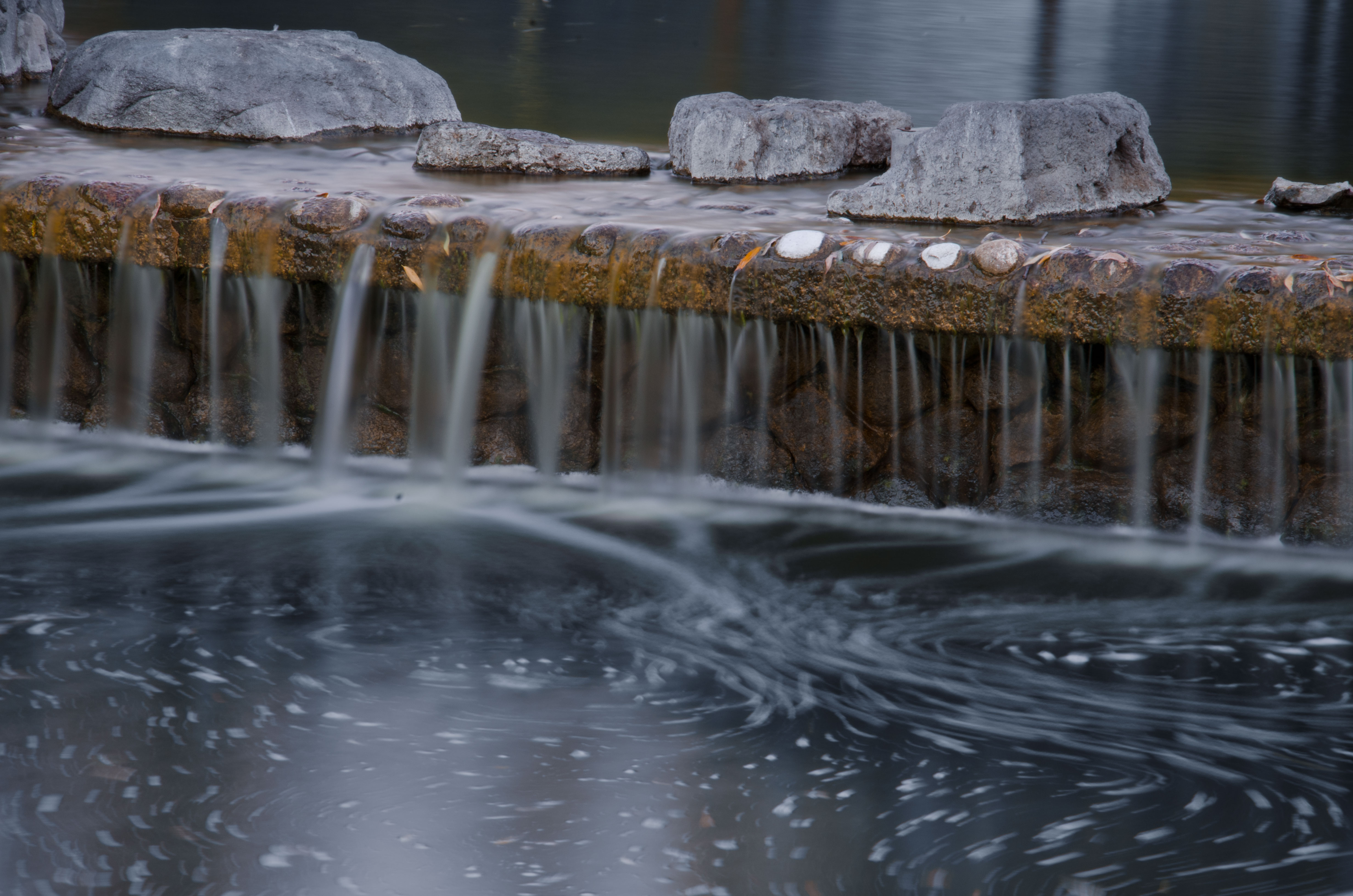
Cone Drips

Heavenly shades of night are falling, it's twilight time ...

Somewhere in heaven

Fields of Gold

Door of opportunities :)

Trail to Heaven
trail uphill
morning light in Saratoga Creek

And the wind cries Mary

Arastradero Pasture
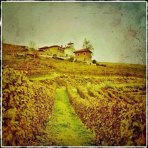
La Villa Tiboldi - Piedmont, Italy
Yesterday afternoon stroll.
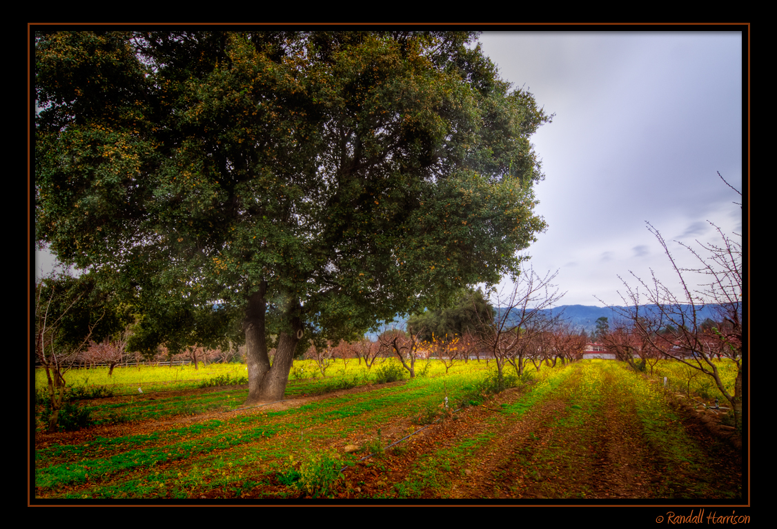
Heritage Orchard in Winter
First image taken with my #iphone5 Fog lifting over the South Bay.
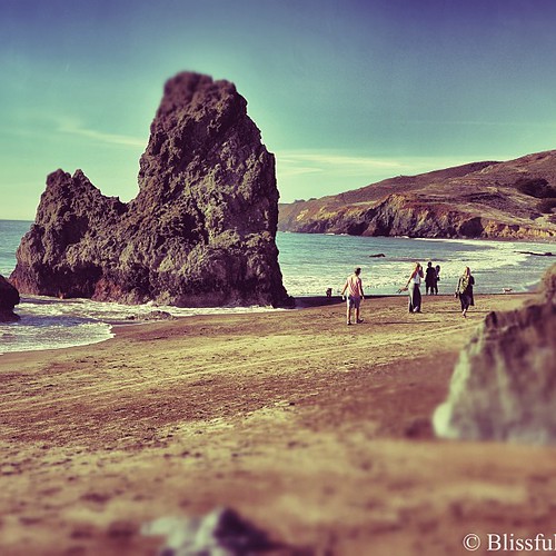
Strolling Rodeo Beach - California

Dumbarton Pier 06.jpg

Heritage Orchard_02
Central Park

April Skies | Palo Alto

Gentle Afterglow
Trees and Rays

Shade and reflections
Topographic Map of Newbridge Dr, Los Altos Hills, CA, USA
Find elevation by address:

Places near Newbridge Dr, Los Altos Hills, CA, USA:
La Paloma Road
26202 Maurer Ln
12600 Viscaino Ct
21610 Quail Ln
21610 Quail Ln
21610 Quail Ln
21610 Quail Ln
21610 Quail Ln
21610 Quail Ln
21610 Quail Ln
21610 Quail Ln
Los Altos Hills
26306 Esperanza Dr
Esther Clark Park
Foothill College
13210 La Cresta Dr
Old Adobe Road
Esther Clarks Park
Deer Creek & Sap Labs
26870 Moody Ct
Recent Searches:
- Elevation of Corso Fratelli Cairoli, 35, Macerata MC, Italy
- Elevation of Tallevast Rd, Sarasota, FL, USA
- Elevation of 4th St E, Sonoma, CA, USA
- Elevation of Black Hollow Rd, Pennsdale, PA, USA
- Elevation of Oakland Ave, Williamsport, PA, USA
- Elevation of Pedrógão Grande, Portugal
- Elevation of Klee Dr, Martinsburg, WV, USA
- Elevation of Via Roma, Pieranica CR, Italy
- Elevation of Tavkvetili Mountain, Georgia
- Elevation of Hartfords Bluff Cir, Mt Pleasant, SC, USA