Elevation of New York 30, NY-30, Roxbury, NY, USA
Location: United States > New York > Delaware County > Roxbury >
Longitude: -74.554037
Latitude: 42.3053059
Elevation: 467m / 1532feet
Barometric Pressure: 0KPa
Related Photos:

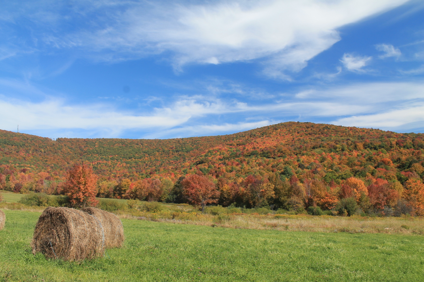
cst-hills

The Other Side Of The Road
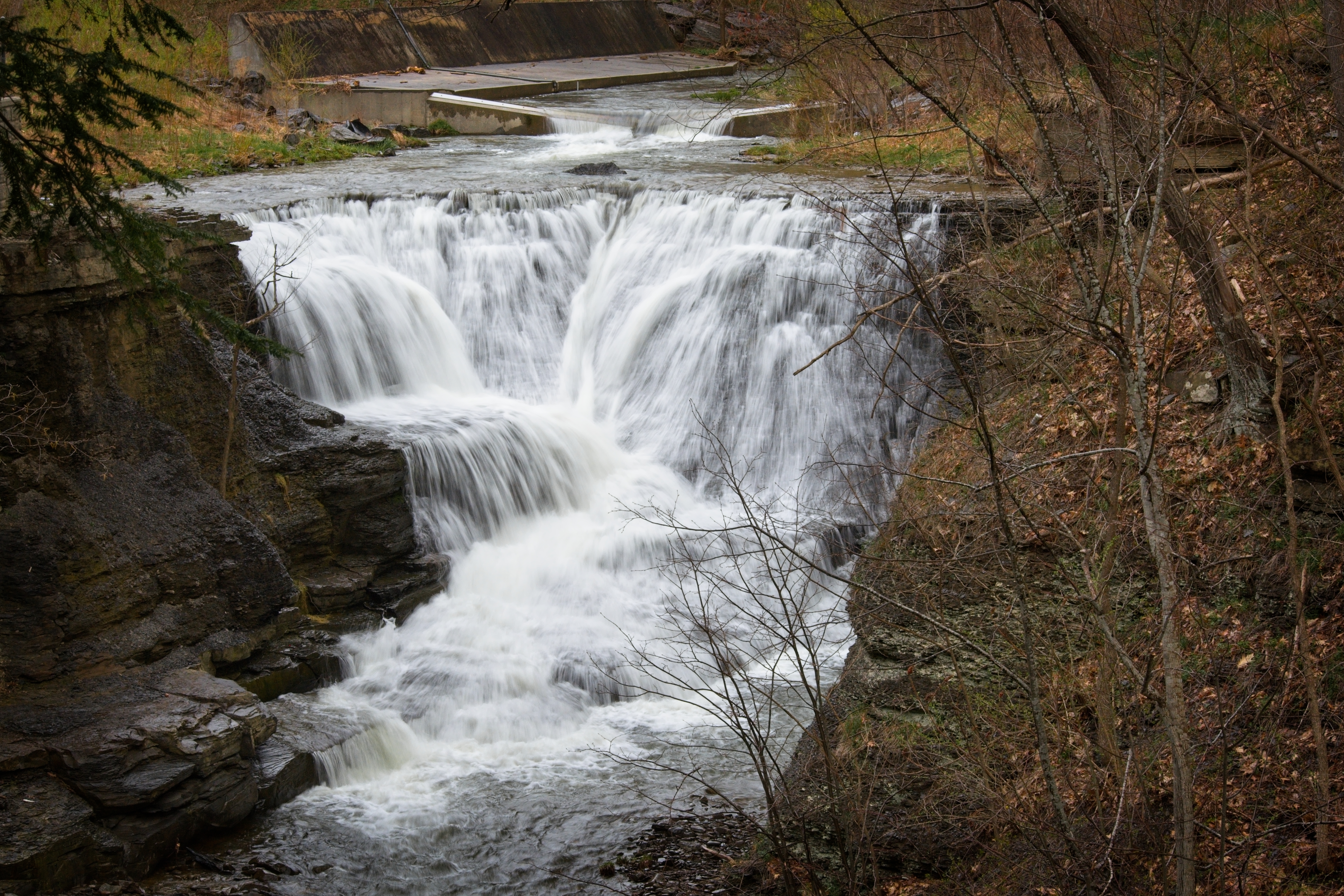
Minekill Falls

September 4 (247/365)

Warner 10
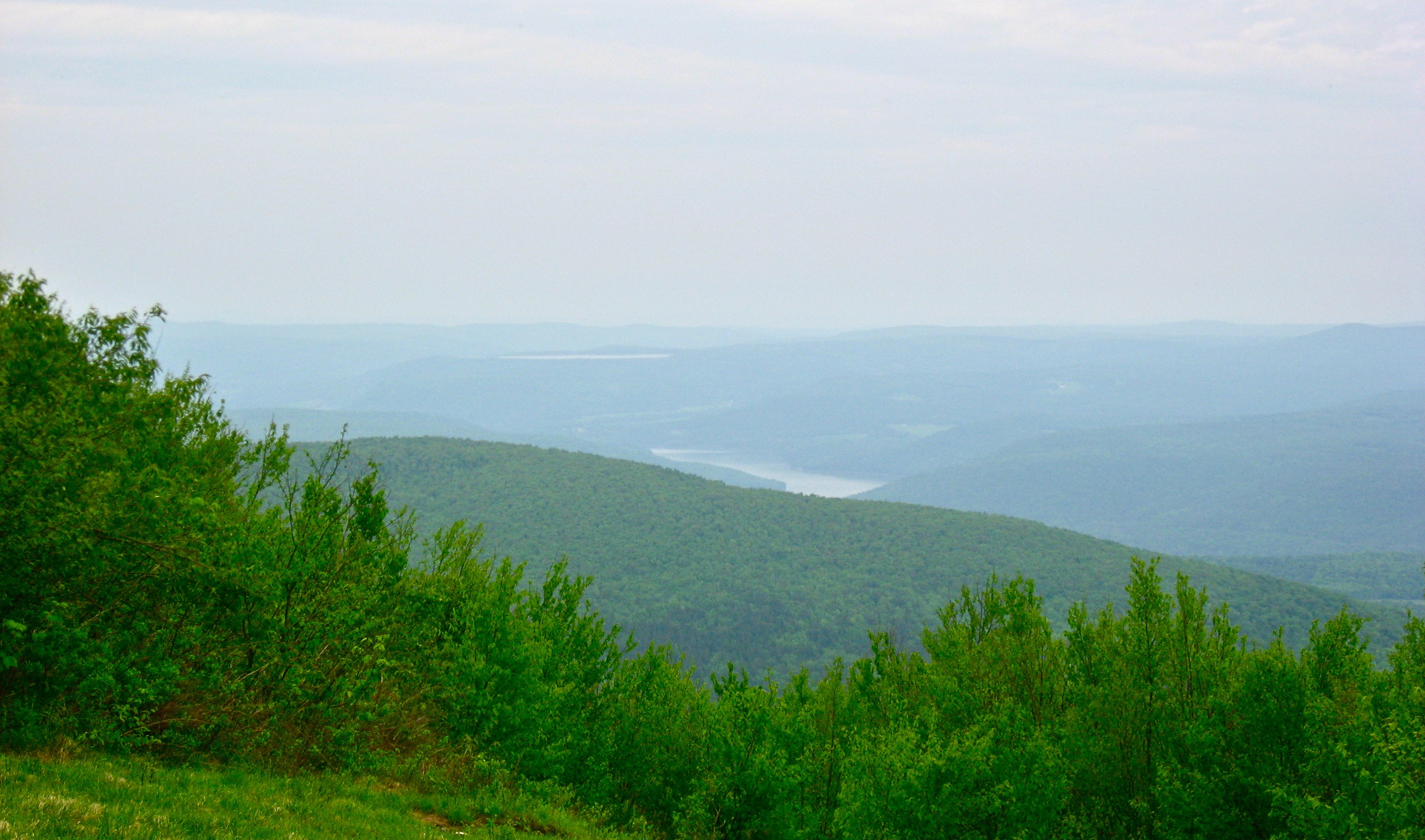
View North (Schoharie Res)

Mine Kill State Park

Mount Utsayantha
Another View Near Burroughs Grave

Mine Kill State Park

A Different Point Of View

View of Gorge Walls

Little Known View of Mine Kill Falls

Time for take off...
View From Burroughs Grave Site

Grand Gorge, NY 20031014 076 view from New York State Route 30

Grand Gorge, NY 20031014 075 view from New York State Route 30

View from the Col on Plattekill Mountain

View from Middle Landing

A view of the beautiful Catskills from the top of the Face at Ski Plattekill!!!
It's up there...

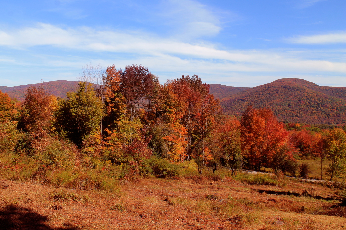
Over Yonder

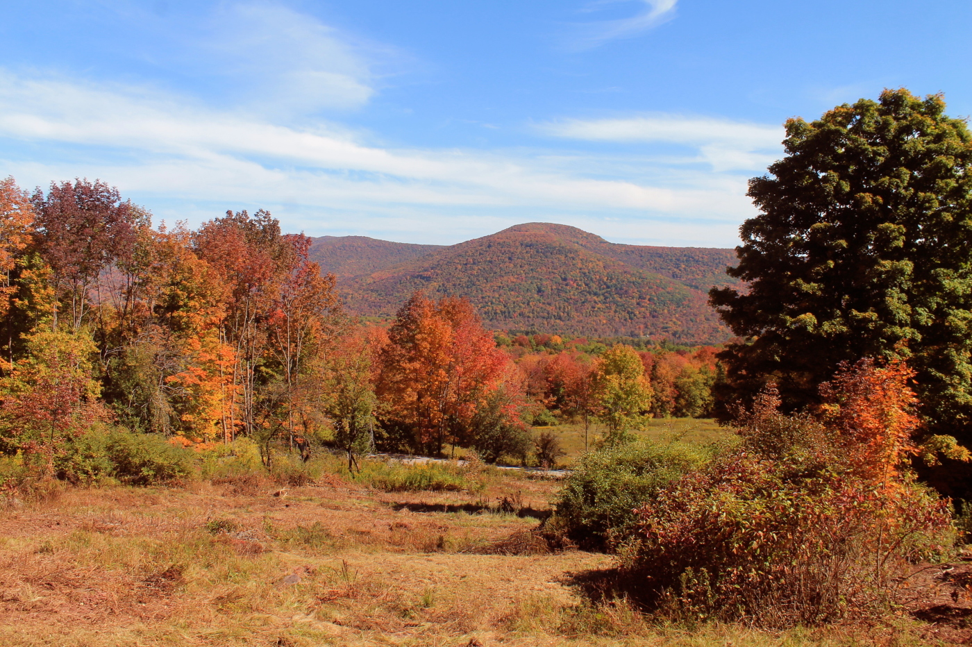
Mount U Back
Catskills Panorama

Greene County

Skiing in the Spring

IMAG0391.jpg

top o' the hill
Rolling Hills in Delaware County
Minekill Bridge
Moresville Range

DSC_0080.JPG

DSC_0083.JPG

Plattekill Sunset

DSC_0084.JPG

DSC01865_DxO.jpg

Tower Mountain Road

Plattekill Clove

L1100065.jpg

Country Charm
Topographic Map of New York 30, NY-30, Roxbury, NY, USA
Find elevation by address:

Places near New York 30, NY-30, Roxbury, NY, USA:
161 N Montgomery Hollow Rd
Roxbury
126 Montgomery Hollow Rd
144 Raeder Rd
Roxbury
53870 Ny-30
Lake Street
Co Rd 41, Roxbury, NY, USA
339 Pleasant Valley Rd
Dugan Hill Road
1800 Dugan Hill Rd
Ploutz Road
978 Scott Greene Rd
82 Roxi Ln
626 Lords Ln
2727 Vega Mountain Rd
351 Charles Morse Rd
Charles Morse Road
221 Morse Farm Rd
Andrew Gray Rd, Roxbury, NY, USA
Recent Searches:
- Elevation map of Greenland, Greenland
- Elevation of Sullivan Hill, New York, New York, 10002, USA
- Elevation of Morehead Road, Withrow Downs, Charlotte, Mecklenburg County, North Carolina, 28262, USA
- Elevation of 2800, Morehead Road, Withrow Downs, Charlotte, Mecklenburg County, North Carolina, 28262, USA
- Elevation of Yangbi Yi Autonomous County, Yunnan, China
- Elevation of Pingpo, Yangbi Yi Autonomous County, Yunnan, China
- Elevation of Mount Malong, Pingpo, Yangbi Yi Autonomous County, Yunnan, China
- Elevation map of Yongping County, Yunnan, China
- Elevation of North 8th Street, Palatka, Putnam County, Florida, 32177, USA
- Elevation of 107, Big Apple Road, East Palatka, Putnam County, Florida, 32131, USA
- Elevation of Jiezi, Chongzhou City, Sichuan, China
- Elevation of Chongzhou City, Sichuan, China
- Elevation of Huaiyuan, Chongzhou City, Sichuan, China
- Elevation of Qingxia, Chengdu, Sichuan, China
- Elevation of Corso Fratelli Cairoli, 35, Macerata MC, Italy
- Elevation of Tallevast Rd, Sarasota, FL, USA
- Elevation of 4th St E, Sonoma, CA, USA
- Elevation of Black Hollow Rd, Pennsdale, PA, USA
- Elevation of Oakland Ave, Williamsport, PA, USA
- Elevation of Pedrógão Grande, Portugal