Elevation of Lords Ln, Roxbury, NY, USA
Location: United States > New York > Delaware County > Roxbury > Roxbury >
Longitude: -74.590414
Latitude: 42.280821
Elevation: 605m / 1985feet
Barometric Pressure: 94KPa
Elevation Map:
Satellite Map:
Related Photos:

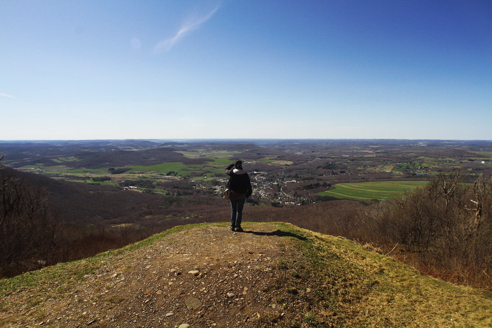
View from Palmer Hill Trail in Andes, N.Y.

The Other Side Of The Road
cst-hills

Warner 10

Triple View Farm
this is my view while cooking paella
View from the Col on Plattekill Mountain

View From Burroughs Grave Site
View from Gravesite

Mount Utsayantha

View from Artist Studio

Another View Near Burroughs Grave
April 10 (100/365)
View from Middle Landing

Morning Mist, Stamford
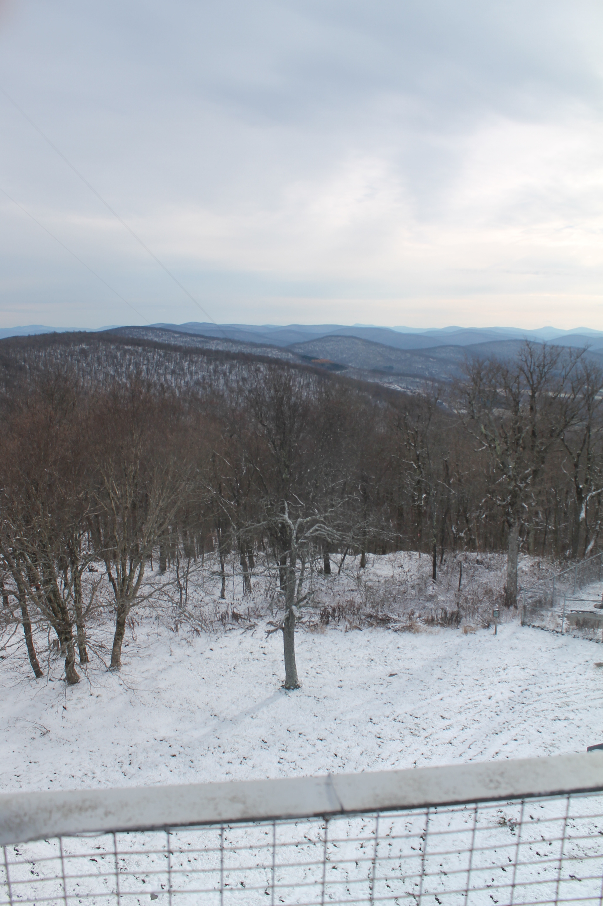
Fire tower view.
View Along Burroughs Memorial Road

Mount Utsayantha

On Mount Utsayantha

A Catskill Moutain View

Madalyn's Place

Mace Wetlands Park

West Branch Delaware River

Catskills Panorama

Greene County

Over Yonder

Country Charm

Northern Catskills
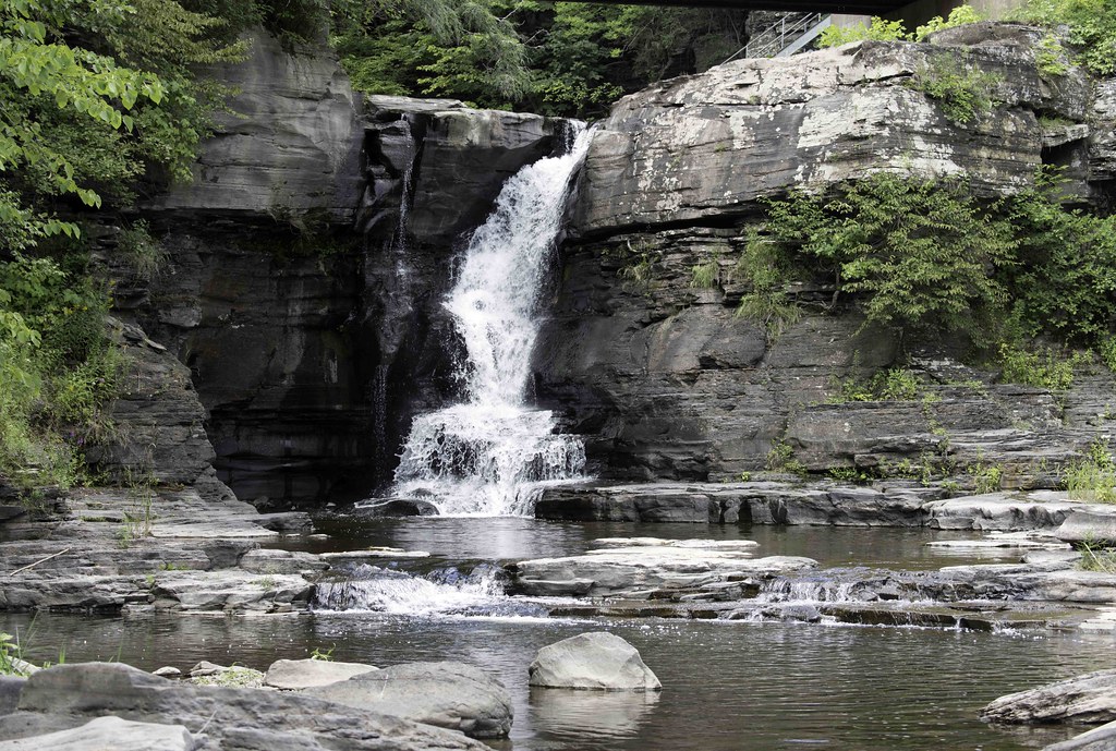
Hardenburgh Falls

Mt Utsayantha

.

top o' the hill

Catskill overlook

Tower Mountain Road

Churchill Mountain

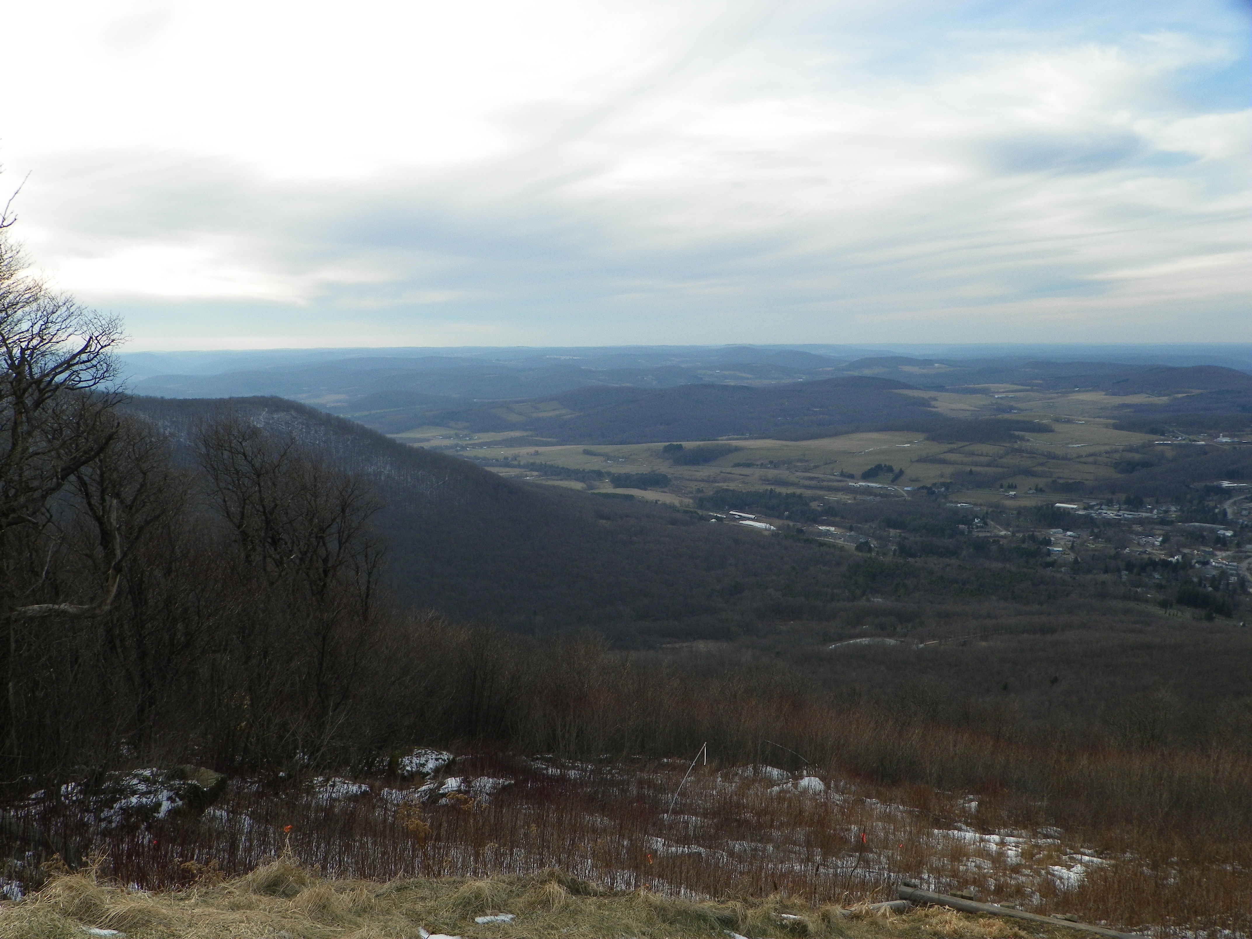
Catskill Mountains from the Firetower

Abandoned Farm

Bovina Barn

Churchill Mountain

Trees, Corn Field, Hay Field

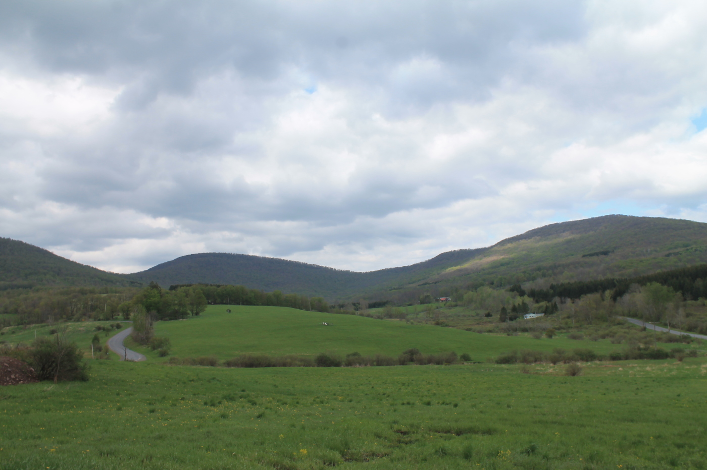
Churchill Mountain and It's Col
Topographic Map of Lords Ln, Roxbury, NY, USA
Find elevation by address:

Places near Lords Ln, Roxbury, NY, USA:
978 Scott Greene Rd
Andrew Gray Rd, Roxbury, NY, USA
Co Rd 41, Roxbury, NY, USA
Roxbury
Lake Street
53870 Ny-30
1400 Lower Meeker Hollow Rd
2727 Vega Mountain Rd
Roxbury
126 Montgomery Hollow Rd
130 Pines Dr
351 Charles Morse Rd
Charles Morse Road
New York 30
161 N Montgomery Hollow Rd
82 Roxi Ln
144 Raeder Rd
Ploutz Road
221 Morse Farm Rd
Dugan Hill Road
Recent Searches:
- Elevation of Corso Fratelli Cairoli, 35, Macerata MC, Italy
- Elevation of Tallevast Rd, Sarasota, FL, USA
- Elevation of 4th St E, Sonoma, CA, USA
- Elevation of Black Hollow Rd, Pennsdale, PA, USA
- Elevation of Oakland Ave, Williamsport, PA, USA
- Elevation of Pedrógão Grande, Portugal
- Elevation of Klee Dr, Martinsburg, WV, USA
- Elevation of Via Roma, Pieranica CR, Italy
- Elevation of Tavkvetili Mountain, Georgia
- Elevation of Hartfords Bluff Cir, Mt Pleasant, SC, USA